The best family-friendly hikes and walks in Ballycuggaran
4.6
(139)
763
hikers
23
hikes
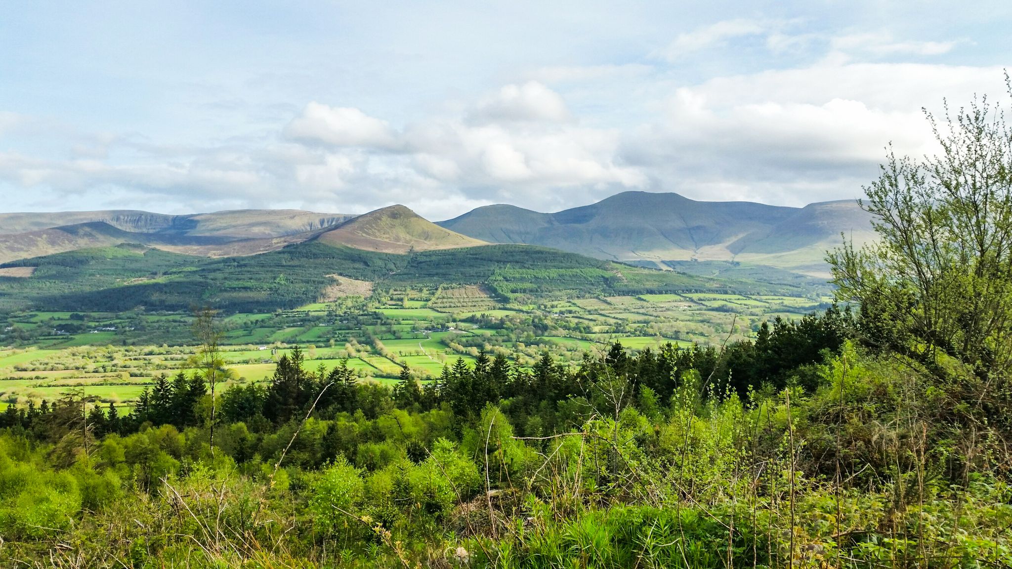
Family friendly hiking trails in Ballycuggaran are characterized by diverse landscapes, including the shores of Lough Derg, dense forests like Crag Wood, and the lower slopes of the Slieve Bernagh Mountains. The area features a mix of waterside paths, forested trails, and ascents to viewpoints such as Crag Hill and Moylussa Summit. These routes offer varied terrain, from gentle lakeside strolls to more challenging climbs, providing options for different family abilities. The region's natural features include impressive trees and expansive…
Last updated: May 26, 2026
4.5
(29)
238
hikers
10.1km
03:19
480m
480m
Moderate hike. Good fitness required. Mostly accessible paths. Sure-footedness required.
4.7
(18)
47
hikers
12.3km
03:58
540m
530m
Moderate hike. Good fitness required. Easily-accessible paths. Suitable for all skill levels.

Sign up for free
4.3
(8)
18
hikers
17.4km
05:11
510m
520m
Hard hike. Very good fitness required. Easily-accessible paths. Suitable for all skill levels.
4.3
(3)
10
hikers
8.20km
02:26
250m
250m
Moderate hike. Good fitness required. Easily-accessible paths. Suitable for all skill levels.
3
hikers
6.45km
01:49
140m
140m
Easy hike. Great for any fitness level. Easily-accessible paths. Suitable for all skill levels.
Get access to more routes and recommendations from other explorers.
Sign up for free
Already have an account?
Our route recommendations are based on thousands of hikes, rides, and runs completed by other people on komoot.
Start today with a free account
Your next adventure awaits.
Login or Signup
Popular around Ballycuggaran
Other adventures in Ballycuggaran

Tips from the Community


On the trailhead to the East Clare Way, explore many great tracks in this dense and enchanted forest with incredible views over Lough Derg.
0
0
Reaching the summit at 530m above sea level is not easy, especially after rains. The views are spectacular on a clear day. From Dromineer and the northern half of Lough Derg, to Thomond Park and Limerick, the Shannon Estuary and Moneypoint, all the way to the mountains of Kerry looming in the distance. Incredible spot to explore.
0
0

Moylussa is the highest point in County Clare at 531 metres (1,745 ft). The stone marks the top of the south east peak.
0
0
The final part of the run to the summit of Moylussa is on a boardwalk, to protect your feet from the wet boggy ground. Moylussa is 531m high and is a designated Marilyn.
0
0
Be sure to make time to appreciate the stunning view of Lough Derg from Crag Hill.
1
0
The banks of the River Shannon afford wonderful views over the water to Ballina, in County Tipperary.
1
0
The KIllaloe Bridge spans the boundary between County Clare to the south west and County Tipperary to the north east. It crosses the River Shannon and is unique for such a long bridge in that it only has one lane for traffic.
0
0
Frequently Asked Questions
How many family-friendly hiking trails are there in Ballycuggaran?
Ballycuggaran offers a wonderful selection of family-friendly hiking trails. Our guide features 22 routes suitable for families, with 6 of these specifically rated as easy, perfect for younger children or those looking for a gentle stroll.
Are there any easy, short loop walks suitable for families with young children?
Absolutely! For an easy and scenic loop, consider the Lough Derg Shoreline loop from Ballycuggaran Beach. This trail is approximately 6.5 km long and offers beautiful waterside views, making it ideal for a relaxed family outing.
What kind of natural features and viewpoints can we expect on family hikes in Ballycuggaran?
Ballycuggaran's family hikes offer a diverse range of natural beauty. You'll find picturesque waterside paths along Lough Derg, dense forested areas with impressive trees like Sitka Spruce, and stunning panoramic views over the lake and the Annacarriga Valley from various elevated points. Many trails lead to fantastic viewpoints, showcasing the region's natural splendor.
Are there any historical landmarks or interesting sites to see along the trails?
Yes, the area is rich in history and legend. You might encounter sites like an early Christian fort on Crag Hill, which is the reputed birthplace of St. Flannan. Higher up, you'll find Aoibheal's Rock, the legendary abode of the fairy queen of the O'Briens. These add an extra layer of discovery to your family hike.
Is Ballycuggaran suitable for dog-friendly family walks?
Many trails in Ballycuggaran are suitable for walking with dogs, provided they are kept under control, especially in forested areas or near livestock. The diverse landscapes, from lakeside paths to forest trails, offer plenty of opportunities for your furry family members to enjoy the outdoors with you.
Where can we park when visiting Ballycuggaran for family hikes?
Convenient car parking is available, often near trailheads. A common starting point for several walks is located near the University of Limerick watersports and adventure centre, which typically offers parking facilities.
What is the best time of year to go hiking with family in Ballycuggaran?
Ballycuggaran is beautiful year-round, but spring and summer offer the most pleasant weather for family hikes, with longer daylight hours and vibrant greenery. Autumn brings stunning foliage, while winter can offer crisp, quiet walks, though some paths might be muddier. Always check local weather conditions before heading out.
Are there any longer, moderate family hikes for older children or more active families?
For families seeking a bit more challenge, the View of Lough Derg – Lough Derg Shoreline loop from Ballycuggaran is a great moderate option. It's approximately 8 km long and offers varied terrain with rewarding views, suitable for families with older children or those who hike regularly.
What do other hikers enjoy most about the family-friendly trails in Ballycuggaran?
The komoot community highly rates the trails in Ballycuggaran, with an average score of 4.6 stars. Hikers often praise the stunning views over Lough Derg, the tranquility of the forest paths, and the well-maintained routes that make for an enjoyable family experience.
Are there any cafes or places to eat near the family hiking trails in Ballycuggaran?
Yes, after your family hike, the nearby village of Killaloe provides excellent amenities. You'll find a selection of cafes, restaurants, and pubs where you can relax and refuel, offering a perfect end to your outdoor adventure.
Are there any trails that lead to the highest point in County Clare?
Yes, for families up for a more challenging adventure, trails like the Lough Derg Shoreline – Moylussa Summit Boardwalk loop from Ballycuggaran can lead you towards Moylussa, the highest point in County Clare. This route involves a boardwalk section and offers expansive views of Lough Derg and the surrounding landscape.
What kind of terrain can we expect on the family-friendly hikes?
The family-friendly hikes in Ballycuggaran feature a mix of terrain. You'll find relatively flat paths along the Lough Derg shoreline, well-trodden forest trails, and some routes that include boardwalk sections, particularly on the ascent towards Moylussa. While generally manageable, some paths may have gentle inclines or uneven surfaces.

Get inspired with the komoot mobile app


Explore more
Browse the best Hikes in other regions.
