The best walks and hikes in Ballycuggaran
4.4
(152)
807
hikers
41
hikes
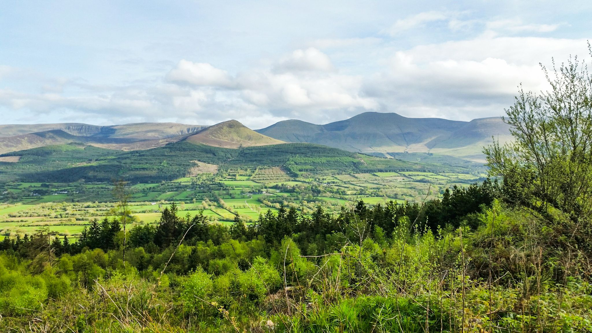
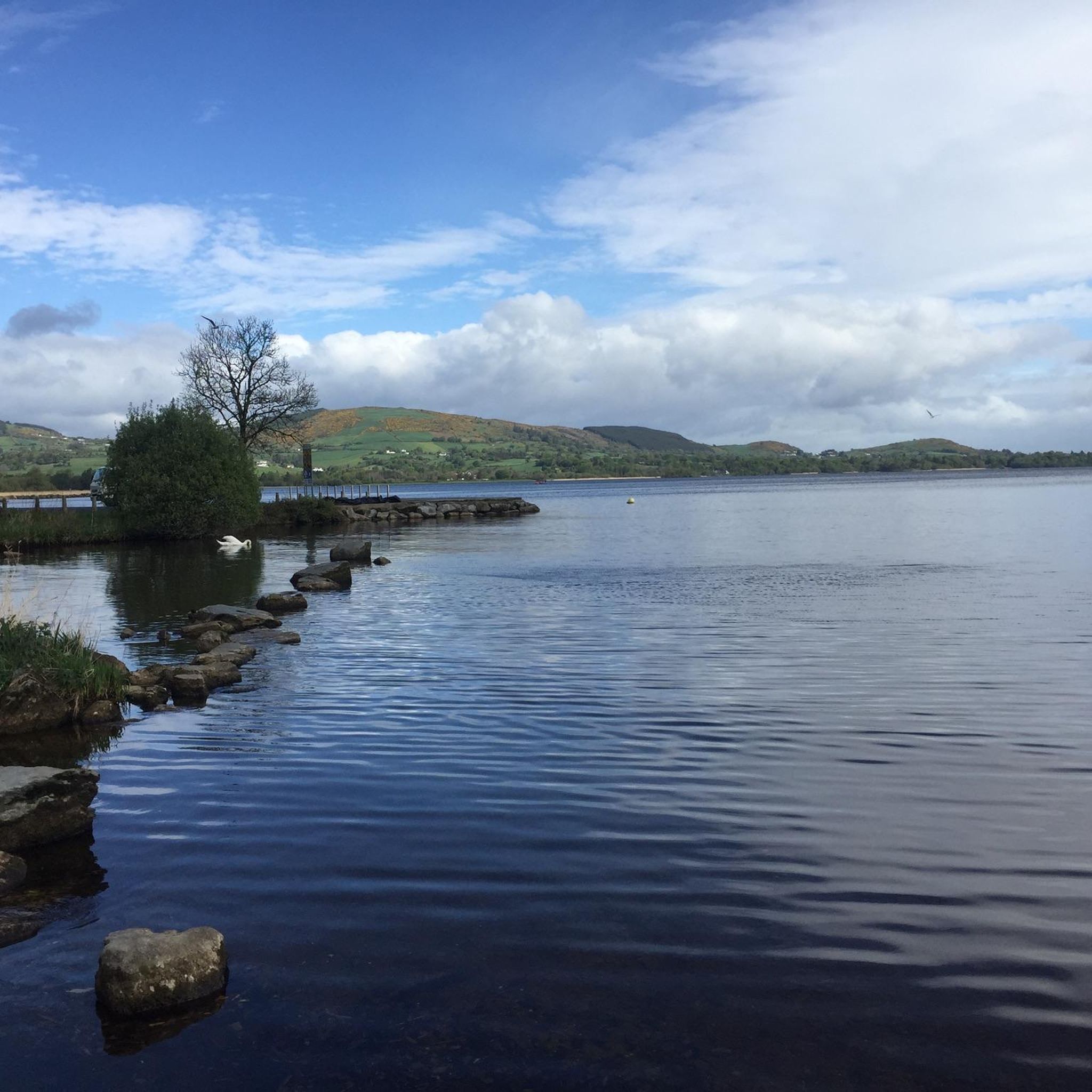
Hiking in Ballycuggaran offers a diverse landscape characterized by dense forests and the expansive Lough Derg shoreline. The region features a mix of terrain, including gentle paths along the lake and more challenging ascents towards hills like Moylussa. These physical features provide varied hiking experiences, from leisurely walks to longer, more strenuous routes.
Best hiking trails in Ballycuggaran
- The most popular hiking route is Moylussa & Ballycuggaran loop, a 6.3 miles (10.1 km) trail that takes 3 hours 19…
Last updated: August 4, 2026
4.5
(30)
251
hikers
10.1km
03:19
480m
480m
Moderate hike. Good fitness required. Mostly accessible paths. Sure-footedness required.
4.7
(18)
51
hikers
12.3km
03:58
540m
530m
Moderate hike. Good fitness required. Easily-accessible paths. Suitable for all skill levels.

Sign up for free
4.3
(8)
19
hikers
17.4km
05:16
550m
550m
Hard hike. Very good fitness required. Easily-accessible paths. Suitable for all skill levels.
4.3
(3)
10
hikers
8.20km
02:26
250m
250m
Moderate hike. Good fitness required. Easily-accessible paths. Suitable for all skill levels.
3
hikers
6.45km
01:49
140m
140m
Easy hike. Great for any fitness level. Easily-accessible paths. Suitable for all skill levels.
Get access to more routes and recommendations from other explorers.
Sign up for free
Already have an account?
Our route recommendations are based on thousands of hikes, rides, and runs completed by other people on komoot.
Start today with a free account
Your next adventure awaits.
Login or Signup
Other adventures in Ballycuggaran

Tips from the Community


On the trailhead to the East Clare Way, explore many great tracks in this dense and enchanted forest with incredible views over Lough Derg.
0
0
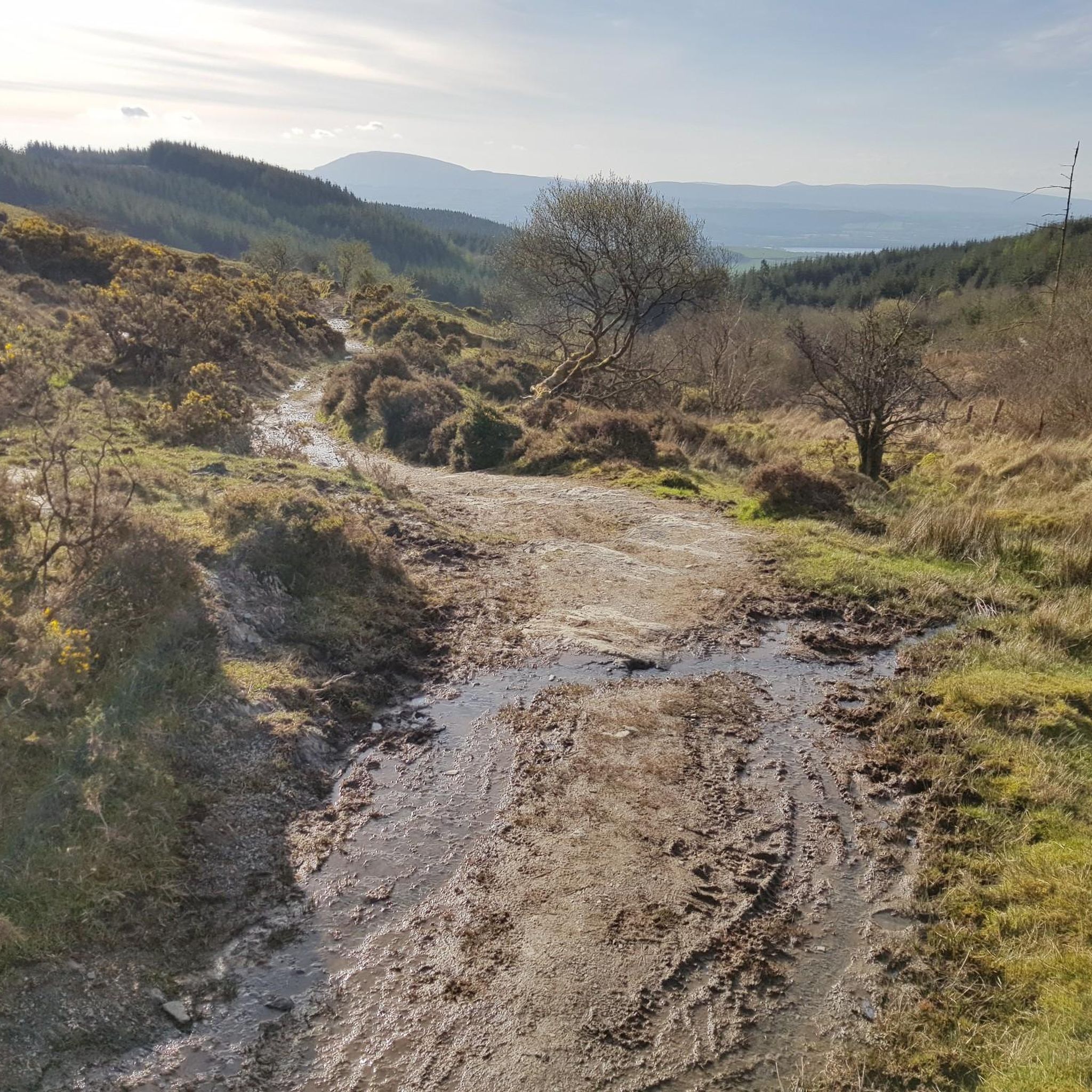
Reaching the summit at 530m above sea level is not easy, especially after rains. The views are spectacular on a clear day. From Dromineer and the northern half of Lough Derg, to Thomond Park and Limerick, the Shannon Estuary and Moneypoint, all the way to the mountains of Kerry looming in the distance. Incredible spot to explore.
0
0

Moylussa is the highest point in County Clare at 531 metres (1,745 ft). The stone marks the top of the south east peak.
0
0
The final part of the run to the summit of Moylussa is on a boardwalk, to protect your feet from the wet boggy ground. Moylussa is 531m high and is a designated Marilyn.
0
0
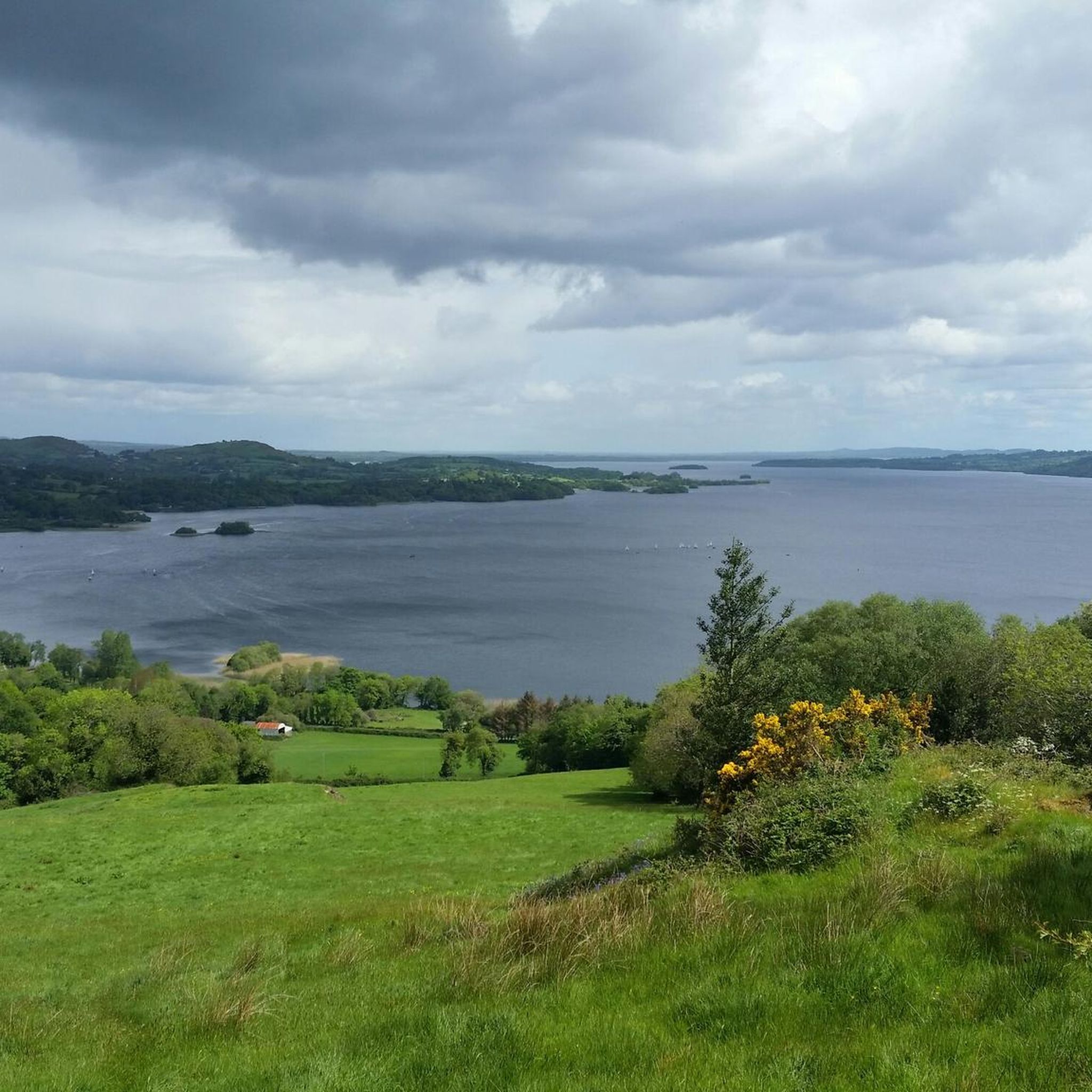
Be sure to make time to appreciate the stunning view of Lough Derg from Crag Hill.
1
0
The banks of the River Shannon afford wonderful views over the water to Ballina, in County Tipperary.
1
0
The KIllaloe Bridge spans the boundary between County Clare to the south west and County Tipperary to the north east. It crosses the River Shannon and is unique for such a long bridge in that it only has one lane for traffic.
0
0
Frequently Asked Questions
Are there easy hiking trails in Ballycuggaran?
Yes, Ballycuggaran offers several easy hiking options. For instance, the Lough Derg Shoreline loop from Ballycuggaran Beach is an easy 4.0-mile (6.5 km) trail that takes approximately 1 hour 49 minutes to complete, perfect for a relaxed walk along the lake.
What are the typical durations for hikes in Ballycuggaran?
Hiking durations in Ballycuggaran vary significantly depending on the trail and your pace. You can find shorter walks like the 4.0-mile (6.5 km) Lough Derg Shoreline loop from Ballycuggaran Beach which takes under 2 hours, or longer, more challenging routes such as the 10.8-mile (17.35 km) View of Lough Derg – Moylussa Summit Boardwalk loop from Ballycuggaran, which can take over 5 hours.
Is parking available for hikers in Ballycuggaran?
While specific parking areas are not detailed for every route, Ballycuggaran is a popular outdoor destination. Generally, you can expect to find designated parking facilities near trailheads, especially for well-known routes and access points to Lough Derg. It's advisable to check local signage upon arrival.
Are there family-friendly hiking options in Ballycuggaran?
Absolutely. Ballycuggaran has several trails suitable for families, particularly those along the Lough Derg shoreline. These paths often feature gentle terrain and scenic views, making them enjoyable for all ages. Look for routes marked as 'easy' in the komoot app for the most family-friendly experiences.
Can I bring my dog on the hiking trails in Ballycuggaran?
Many trails in Ballycuggaran are dog-friendly, allowing you to enjoy the outdoors with your canine companion. However, it's always recommended to keep dogs on a leash, especially in areas with livestock or wildlife, and to follow the Leave No Trace principles by cleaning up after your pet.
When is the best time of year to go hiking in Ballycuggaran?
The best time for hiking in Ballycuggaran is typically from spring through autumn (April to October). During these months, the weather is generally milder, and the trails are less likely to be muddy or icy. Summer offers longer daylight hours, while spring and autumn provide beautiful foliage and fewer crowds.
What should I wear for hiking in Ballycuggaran?
For hiking in Ballycuggaran, it's best to wear comfortable, layered clothing suitable for varying weather conditions. Waterproof outer layers are advisable due to potential rain. Sturdy hiking boots with good ankle support are essential, especially for routes with uneven terrain or ascents towards Moylussa.
Are the hiking trails in Ballycuggaran suitable for winter?
Some trails in Ballycuggaran can be hiked in winter, particularly the lower-elevation paths along Lough Derg. However, conditions can be challenging with shorter daylight hours, colder temperatures, and potentially icy or muddy sections. Higher routes, like those ascending Moylussa, may require more experience and appropriate winter gear.
Are there places to eat or get refreshments near the trails?
While the trails themselves are primarily natural, Ballycuggaran and the surrounding towns along Lough Derg offer various cafes, pubs, and restaurants where you can refuel before or after your hike. It's a good idea to pack snacks and water for your journey, especially on longer routes.
Are there any less-known or 'hidden gem' trails in Ballycuggaran?
While many routes are popular, exploring some of the less-frequented paths can reveal hidden gems. For a slightly different perspective, consider routes that venture deeper into the woodlands away from the main shoreline, or explore the varied network of trails available on komoot to find a path that suits your desire for solitude.
What do other hikers enjoy the most about hiking in Ballycuggaran?
The area is highly rated by the komoot community, with an average score of 4.6 stars. Reviewers often praise the diverse landscape, which combines dense woodlands with the expansive Lough Derg shoreline, offering a mix of terrain and stunning views. The variety of routes, from easy lakeside strolls to challenging ascents, is also frequently highlighted.
Are there any challenging hikes in Ballycuggaran?
Yes, Ballycuggaran offers challenging hikes for experienced trekkers. The View of Lough Derg – Moylussa Summit Boardwalk loop from Ballycuggaran is a difficult 10.8-mile (17.35 km) route with significant elevation gain, providing a strenuous workout and rewarding panoramic views from higher ground.
Are there circular walks available in Ballycuggaran?
Many of the most popular and scenic routes in Ballycuggaran are circular, allowing you to start and end at the same point without retracing your steps. Examples include the Moylussa & Ballycuggaran loop and the Lough Derg Shoreline – Moylussa Summit Boardwalk loop from Ballycuggaran, offering varied scenery throughout.

Get inspired with the komoot mobile app


Explore more
Browse the best Hikes in other regions.
