The best road cycling routes in Ballycuggaran
4.7
(6)
190
riders
30
rides
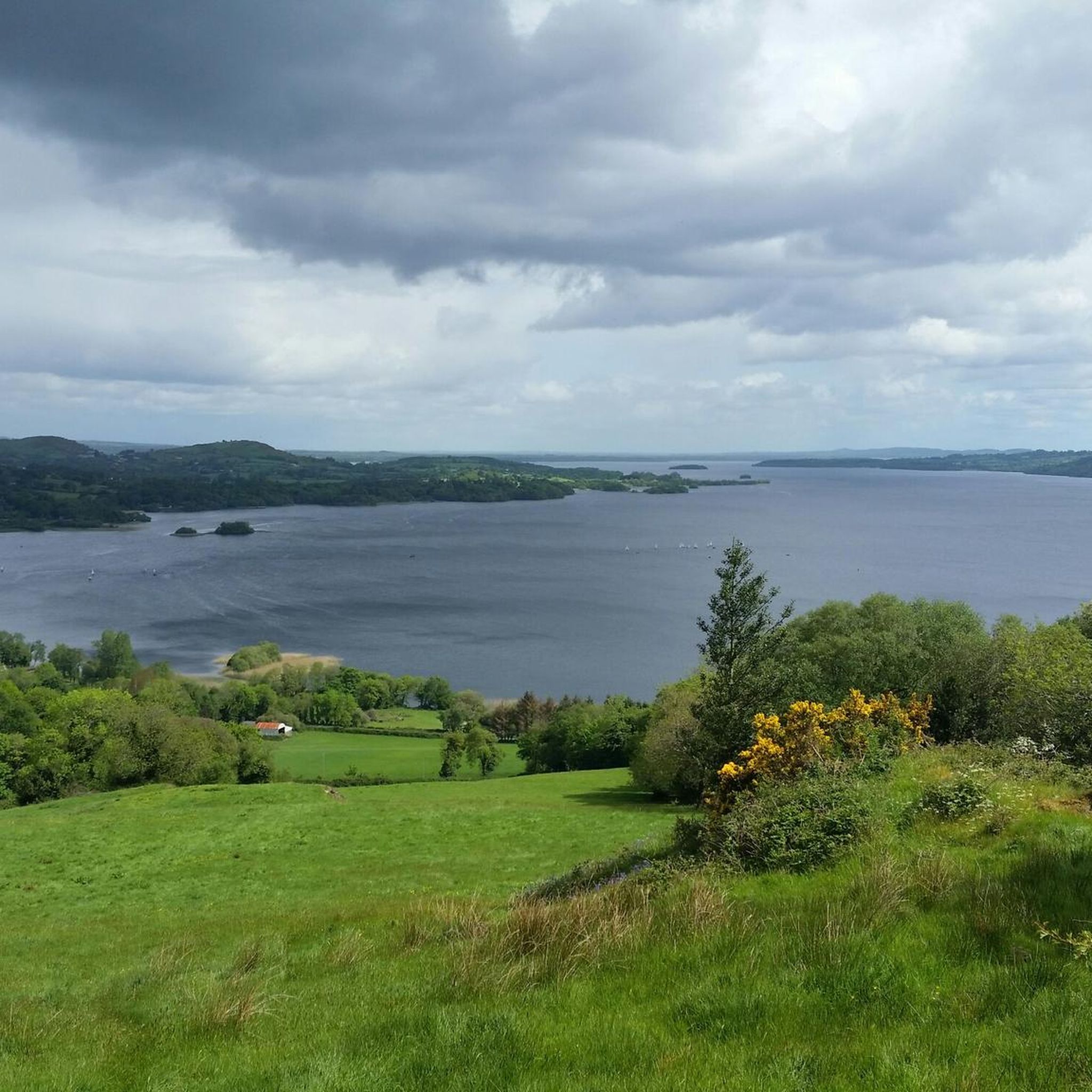
Road cycling in Ballycuggaran offers routes through a landscape characterized by the shores of Lough Derg and the surrounding Killaloe Municipal District. The terrain includes rolling hills and varied elevations, providing diverse cycling experiences. Routes often follow scenic roads alongside the lake and through rural areas, with dense woodlands like Crag Wood also featuring in the landscape.
Best road cycling routes in Ballycuggaran
- The most popular road cycling route is The Graves of the Leinstermen – Two Mile Gate, Lough…
Last updated: May 11, 2026
27
riders
Moderate road ride. Good fitness required. Some segments of this route may be unpaved and difficult to ride.
21
riders
Easy road ride. Great for any fitness level. Mostly well-paved surfaces and easy to ride.

Sign up for free
5.0
(3)
6
riders
Easy road ride. Great for any fitness level. Mostly well-paved surfaces and easy to ride.
5
riders
62.7km
02:38
380m
380m
Moderate road ride. Good fitness required. Mostly well-paved surfaces and easy to ride.
7
riders
19.2km
00:53
190m
190m
Easy road ride. Great for any fitness level. Mostly well-paved surfaces and easy to ride.
Get access to more routes and recommendations from other explorers.
Sign up for free
Already have an account?
Our route recommendations are based on thousands of hikes, rides, and runs completed by other people on komoot.
Start today with a free account
Your next adventure awaits.
Login or Signup
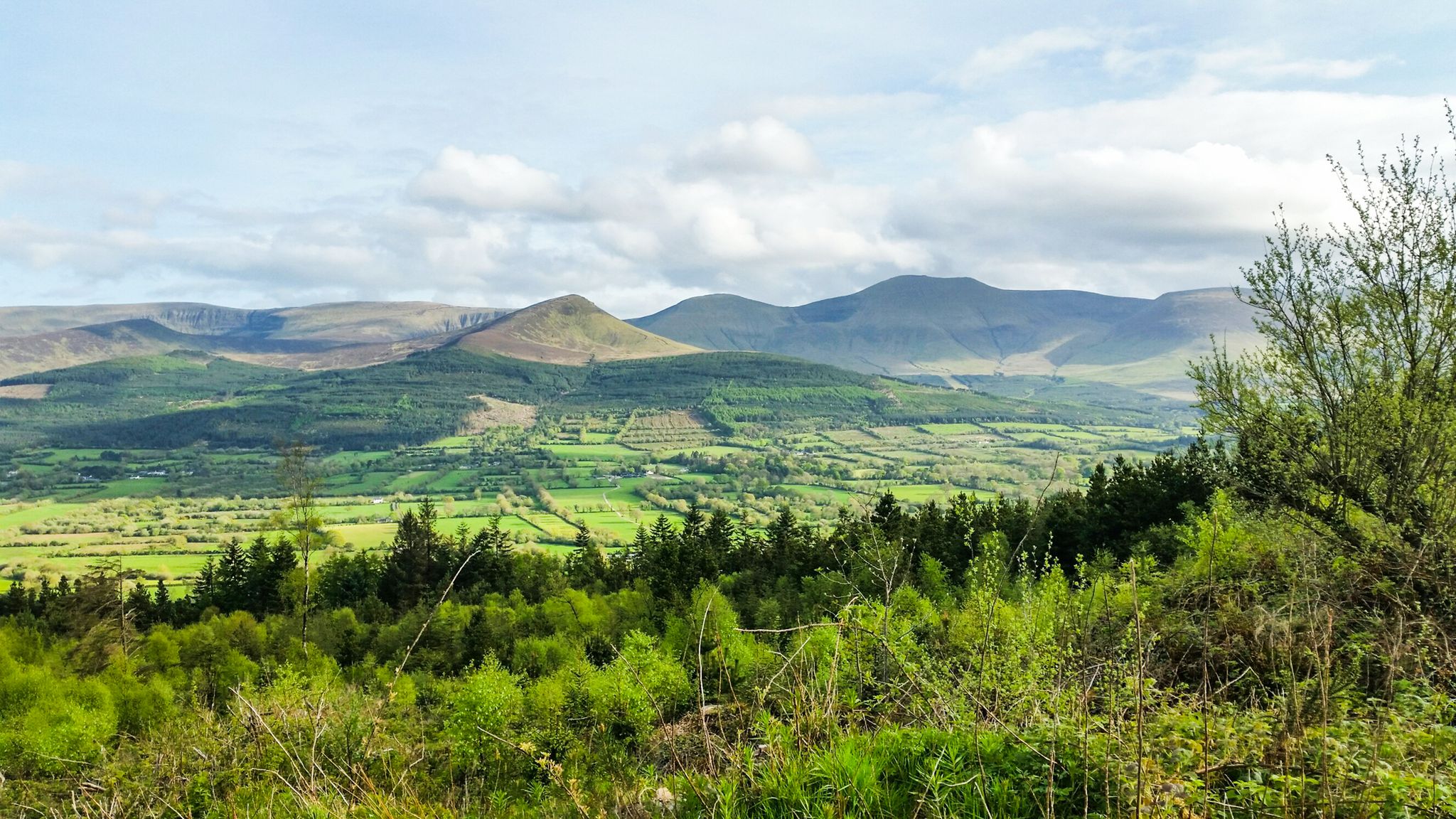
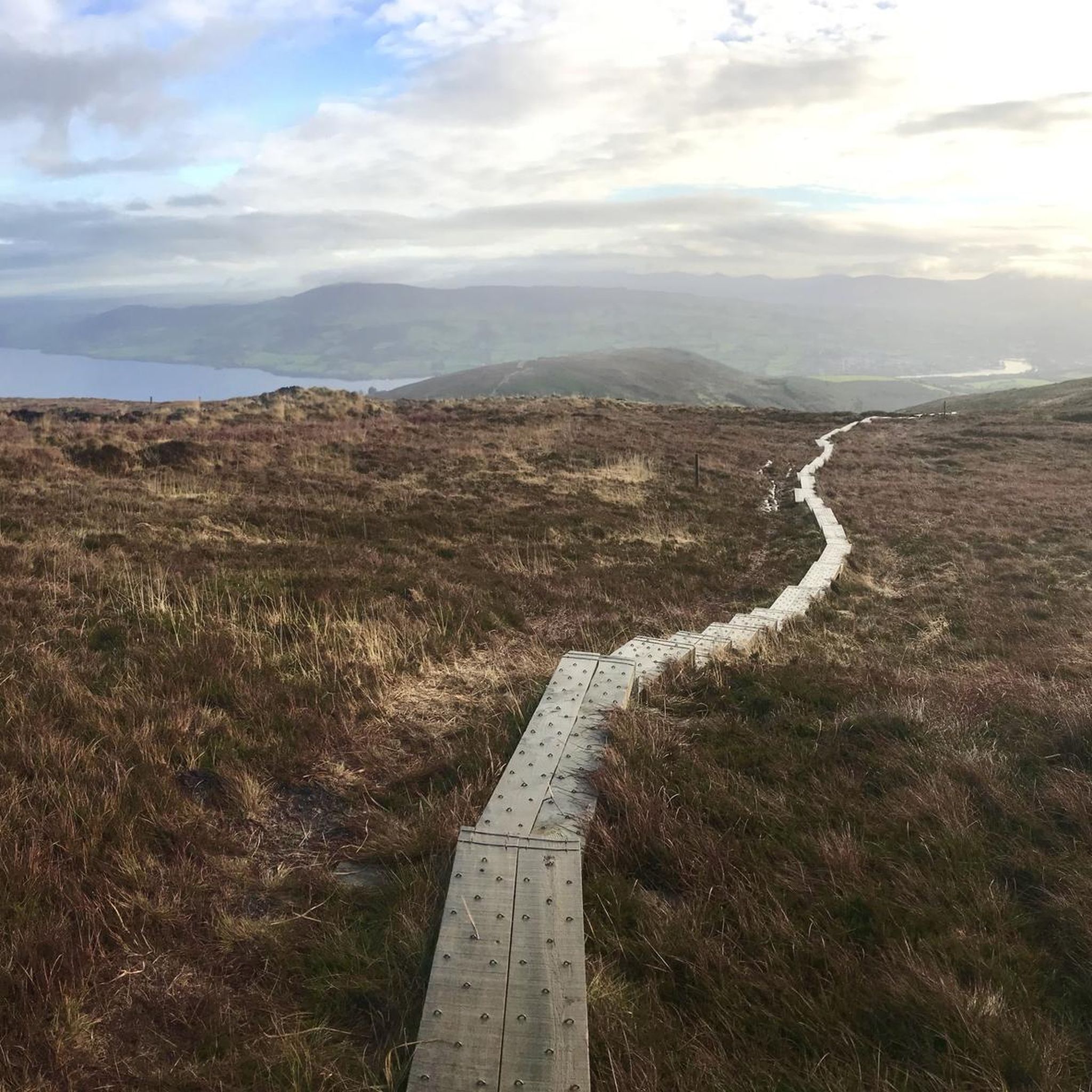
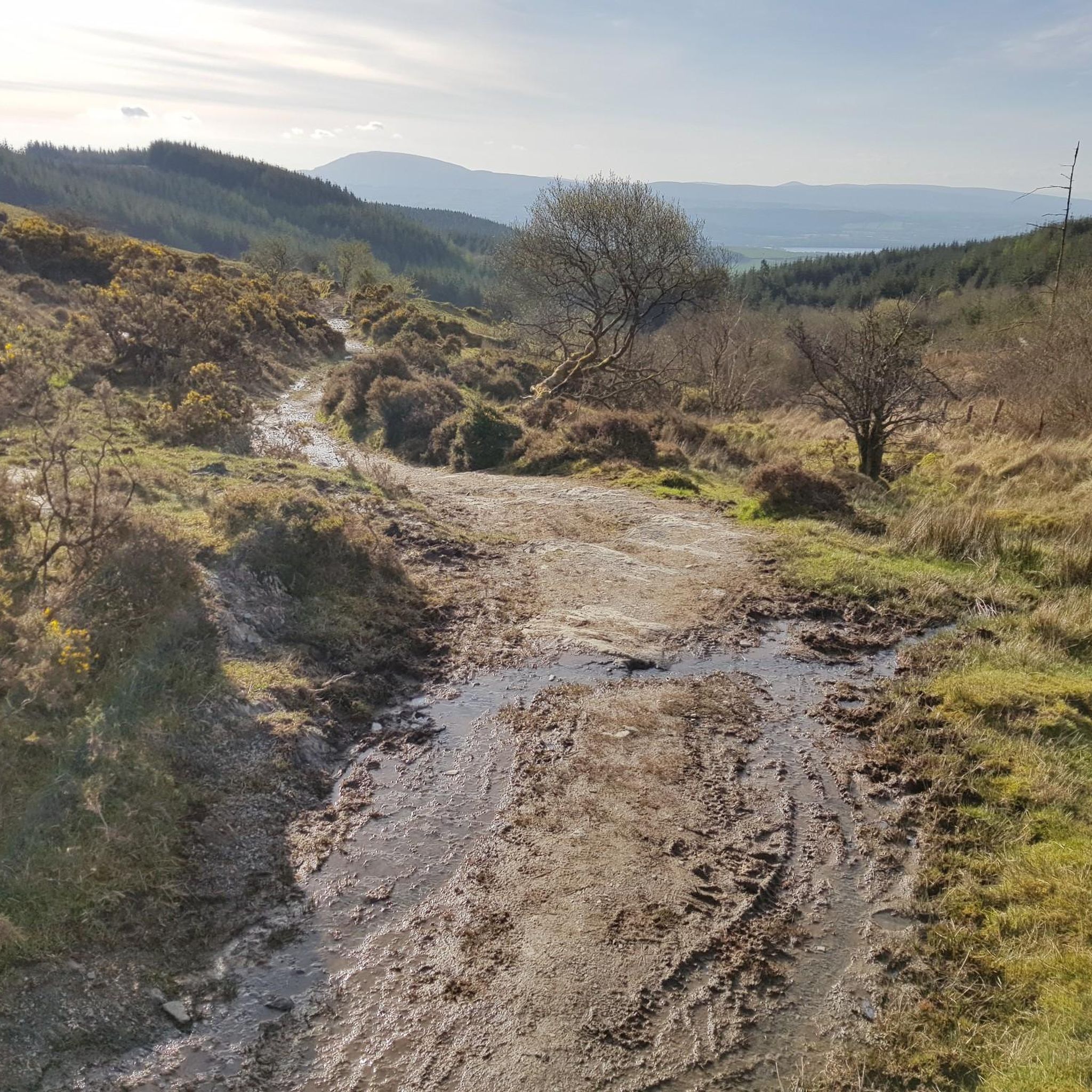
Other adventures in Ballycuggaran

Tips from the Community

When touring Killaloe, the charm of the town can best be captured on the banks of the canal. The route runs along the water and always offers a view over the river to Ballina and the historic Killaloe Bridge. The soothing rippling, the boats gently rocking and the lush green banks can be wonderfully enjoyed from the saddle. The town itself is full of small cafes and restaurants - an ideal place to take a break or start or end the tour. The road itself has a few bumpy spots, but the scenery easily makes up for that.
0
0

The Graves of the Leinstermen standing stones consist of four menhirs. They are located in County Tipperary, Ireland, above Lough Derg, between the villages of Ballina and Portroe, on the western slope of the 463-meter-high Tountinna, a mountain in the Arra Mountains. A narrow, steep road leads from Portroe to the standing stones. https://de.m.wikipedia.org/wiki/Graves_of_the_Leinstermen
1
1

If you are riding through Killaloe, make sure you pedal along Canal Bank for great views over the water to Ballina and Killaloe Bridge. There are plenty of places to eat and drink in the town, which also makes it a perfect start and/or finish point on a ride.
1
1
The small village of O'Briensbridge sits on a narrow headland between the River Shannon and the Ardnacrusha Headrace Canal. It really feel like you're on an island. The bridge and the village both share the same name.
1
0
The banks of the River Shannon afford wonderful views over the water to Ballina, in County Tipperary.
1
0
The KIllaloe Bridge spans the boundary between County Clare to the south west and County Tipperary to the north east. It crosses the River Shannon and is unique for such a long bridge in that it only has one lane for traffic.
0
0

There is now a great coffee shop at this location. A great place to stop or start a gravel or road trip
0
0

There are some mysteries that surround the Graves of the Leinster Men, but the general consensus is that it is some form of a megalithic tomb. Whatever it may be, it's impressive to see and there are beautiful views to enjoy also.
1
0
Frequently Asked Questions
How many road cycling routes are available in Ballycuggaran?
There are over 30 road cycling routes in Ballycuggaran, offering diverse experiences through the Killaloe Municipal District and along Lough Derg. These include 14 easy and 18 moderate routes.
Are there road cycling routes suitable for beginners in Ballycuggaran?
Yes, Ballycuggaran offers 14 easy road cycling routes. A good option for a gentler ride is the Killaloe Farmers' Market – O'Briensbridge loop from Saint Flannan's Cathederal, which is 32.0 km long and features minimal elevation gain.
What kind of challenges do advanced road cyclists find in Ballycuggaran?
While there are no routes officially graded as 'difficult,' the region's moderate routes offer significant elevation changes and longer distances. For example, The Graves of the Leinstermen – Two Mile Gate, Lough Derg loop from Ballycuggaran covers 40.8 km with over 660 meters of ascent, providing a good workout.
Are there any family-friendly road cycling routes in Ballycuggaran?
For families looking for a shorter, easier ride, the Killaloe Farmers' Market loop from Ballina is an excellent choice. It's an easy 15.8 km route with minimal elevation, perfect for a relaxed outing.
What are the best times of year for road cycling in Ballycuggaran?
The spring and summer months (April to September) generally offer the most pleasant conditions for road cycling in Ballycuggaran, with longer daylight hours and milder temperatures. However, be prepared for changeable weather, as is typical for the region.
What can I expect regarding weather conditions for road cycling in Ballycuggaran?
Ballycuggaran's weather can be variable. While summer offers warmer days, rain showers are possible year-round. It's advisable to check the local forecast before heading out and to dress in layers, bringing waterproof gear regardless of the season.
Are there loop road cycling routes available in Ballycuggaran?
Yes, many of the road cycling routes in Ballycuggaran are loops, allowing you to start and finish in the same location. Examples include the Killaloe Farmers' Market – Two Mile Gate, Lough Derg loop from Saint Flannan's Cathederal, a 52.5 km moderate route.
What kind of views or landmarks can I expect along the road cycling routes?
Road cycling routes in Ballycuggaran often feature scenic views of Lough Derg, the River Shannon, and the surrounding rural landscapes. You'll pass through charming villages and may spot historical sites like Saint Flannan's Cathedral or the iconic Killaloe Bridge, which is part of the View of Killaloe Bridge – Killaloe Farmers' Market loop from Saint Flannan's Cathederal route.
Are there places to stop for refreshments or cafes along the routes?
Yes, many routes pass through or near Killaloe and Ballina, where you can find cafes, shops, and the Killaloe Farmers' Market. Several routes, such as the Killaloe Farmers' Market – O'Briensbridge loop from Saint Flannan's Cathederal, are specifically named to highlight these points of interest.
What do other road cyclists enjoy most about road cycling in Ballycuggaran?
The area is highly rated by the komoot community, with an average score of 4.6 stars. Reviewers often praise the beautiful lakeside roads, the varied terrain with rolling hills, and the peaceful rural landscapes that define the cycling experience in Ballycuggaran.
Where can I find parking for road biking in Ballycuggaran?
Parking is generally available in and around the main towns like Killaloe and Ballina, which serve as common starting points for many routes. Specific parking details may vary by route, so it's advisable to check local signage upon arrival.

Get inspired with the komoot mobile app


Explore more
Browse the best Road cycling routes in other regions.
