The best running trails in Ballycuggaran
4.0
(2)
245
runners
18
runs
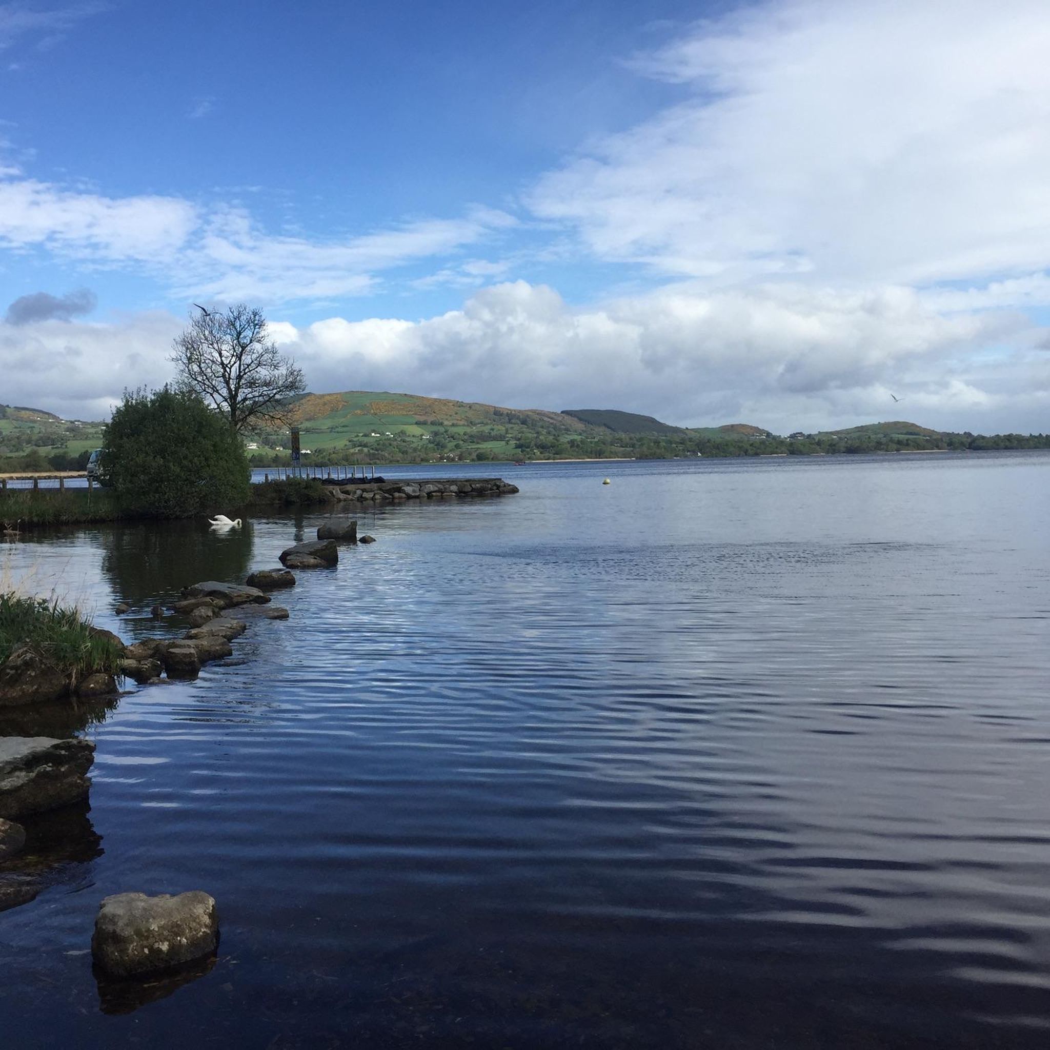
Jogging in Ballycuggaran offers a diverse landscape for runners, situated on the western shores of Lough Derg at the foot of the Slieve Bernagh Mountains. The region features varied terrain, from the elevated perspectives of Crag Hill and the dense woodlands of Crag Wood to the challenging ascent of Moylussa Summit. Runners can experience routes along the scenic Lough Derg shoreline and through forestry tracks, providing a mix of natural environments.
Best jogging routes in Ballycuggaran
- The most popular jogging…
Last updated: May 12, 2026
59
runners
10.1km
01:23
480m
480m
Hard run. Very good fitness required. Mostly accessible paths. Some sure footedness required.
63
runners
8.90km
01:11
420m
420m
Hard run. Very good fitness required. Mostly paved surfaces. Suitable for all skill levels.

Sign up for free
7
runners
7.39km
00:53
250m
250m
Moderate run. Good fitness required. Mostly paved surfaces. Suitable for all skill levels.
25
runners
Hard run. Very good fitness required. Mostly paved surfaces. Suitable for all skill levels.
3
runners
8.20km
00:52
120m
120m
Moderate run. Good fitness required. Mostly paved surfaces. Suitable for all skill levels.
Get access to more routes and recommendations from other explorers.
Sign up for free
Already have an account?
Our route recommendations are based on thousands of hikes, rides, and runs completed by other people on komoot.
Start today with a free account
Your next adventure awaits.
Login or Signup
Other adventures in Ballycuggaran

Tips from the Community

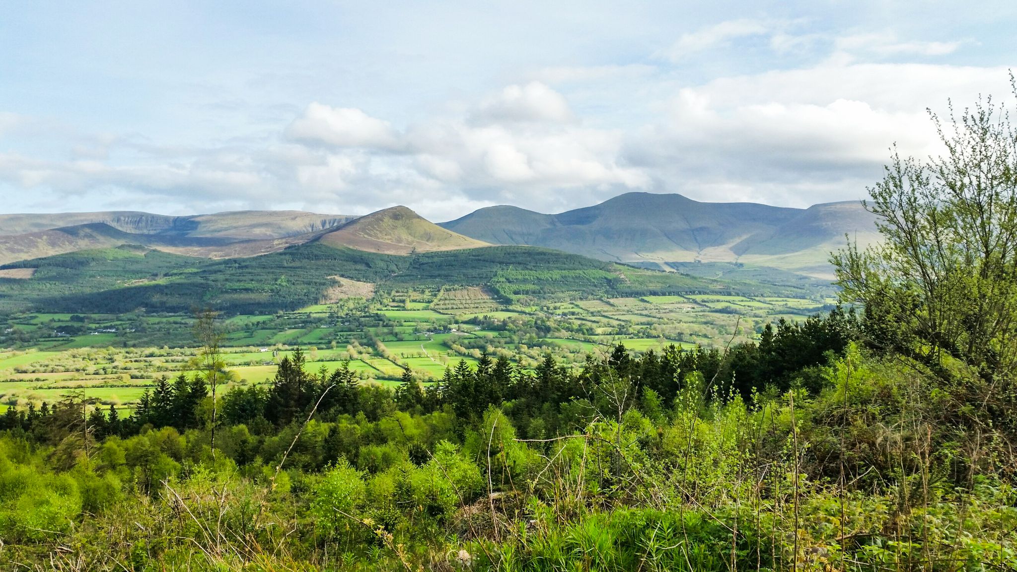
On the trailhead to the East Clare Way, explore many great tracks in this dense and enchanted forest with incredible views over Lough Derg.
0
0
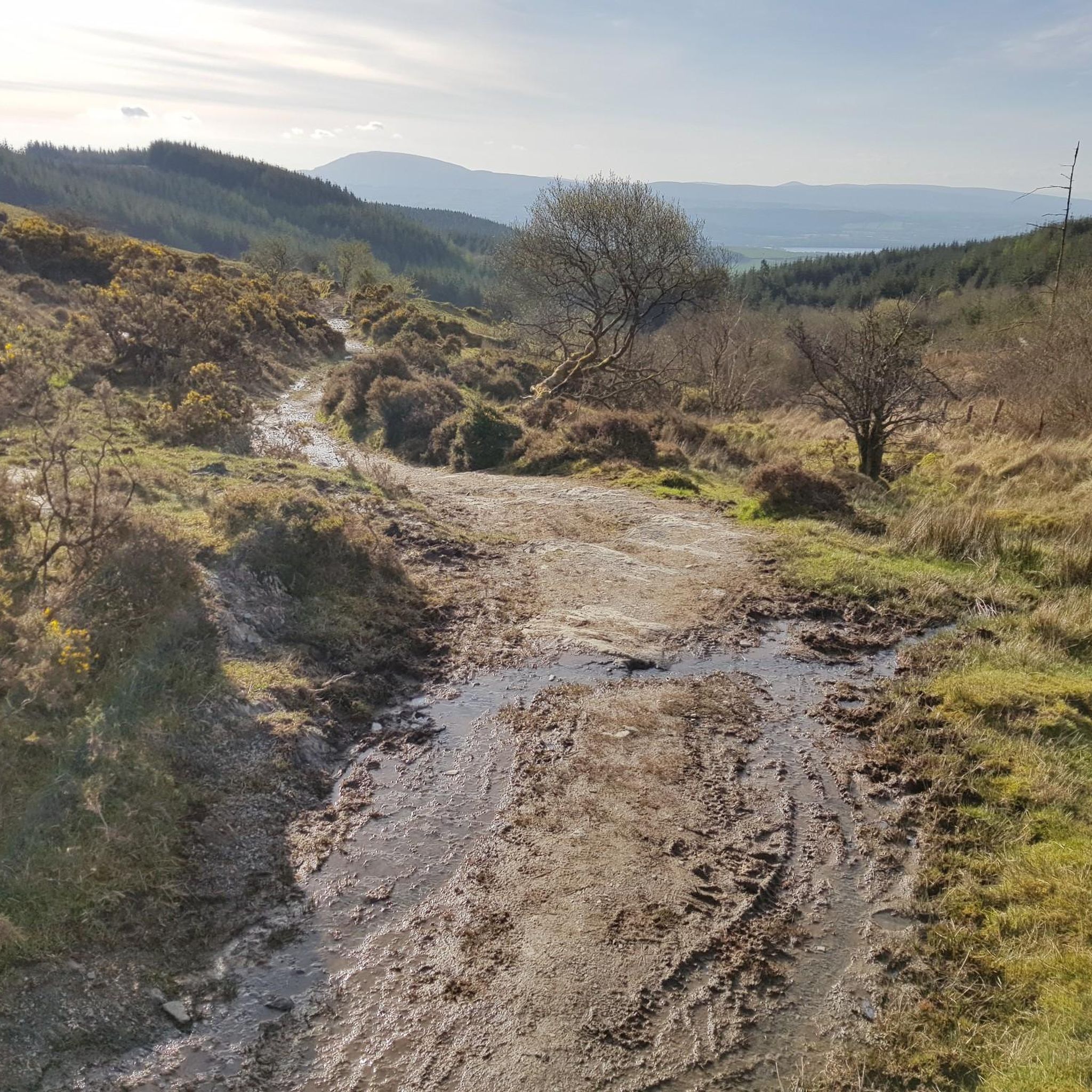
Incredible views of Lough Derg and the surrounding landscape from Moylussa Summit. Gravel trail galore to explore on this mountain range near Kilalooe.
0
0
Reaching the summit at 530m above sea level is not easy, especially after rains. The views are spectacular on a clear day. From Dromineer and the northern half of Lough Derg, to Thomond Park and Limerick, the Shannon Estuary and Moneypoint, all the way to the mountains of Kerry looming in the distance. Incredible spot to explore.
0
0

Moylussa is the highest point in County Clare at 531 metres (1,745 ft). The stone marks the top of the south east peak.
0
0
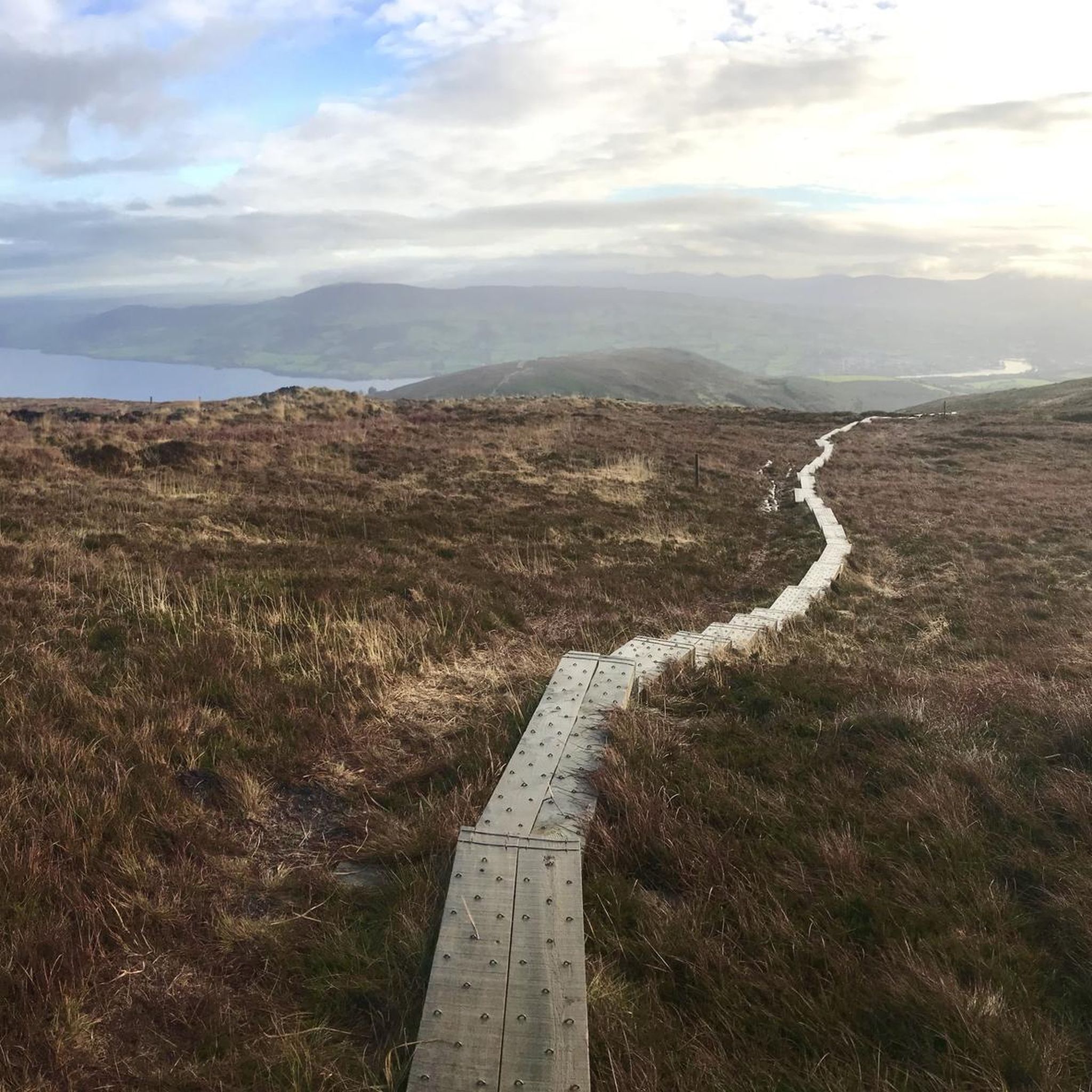
The final part of the run to the summit of Moylussa is on a boardwalk, to protect your feet from the wet boggy ground. Moylussa is 531m high and is a designated Marilyn.
0
0
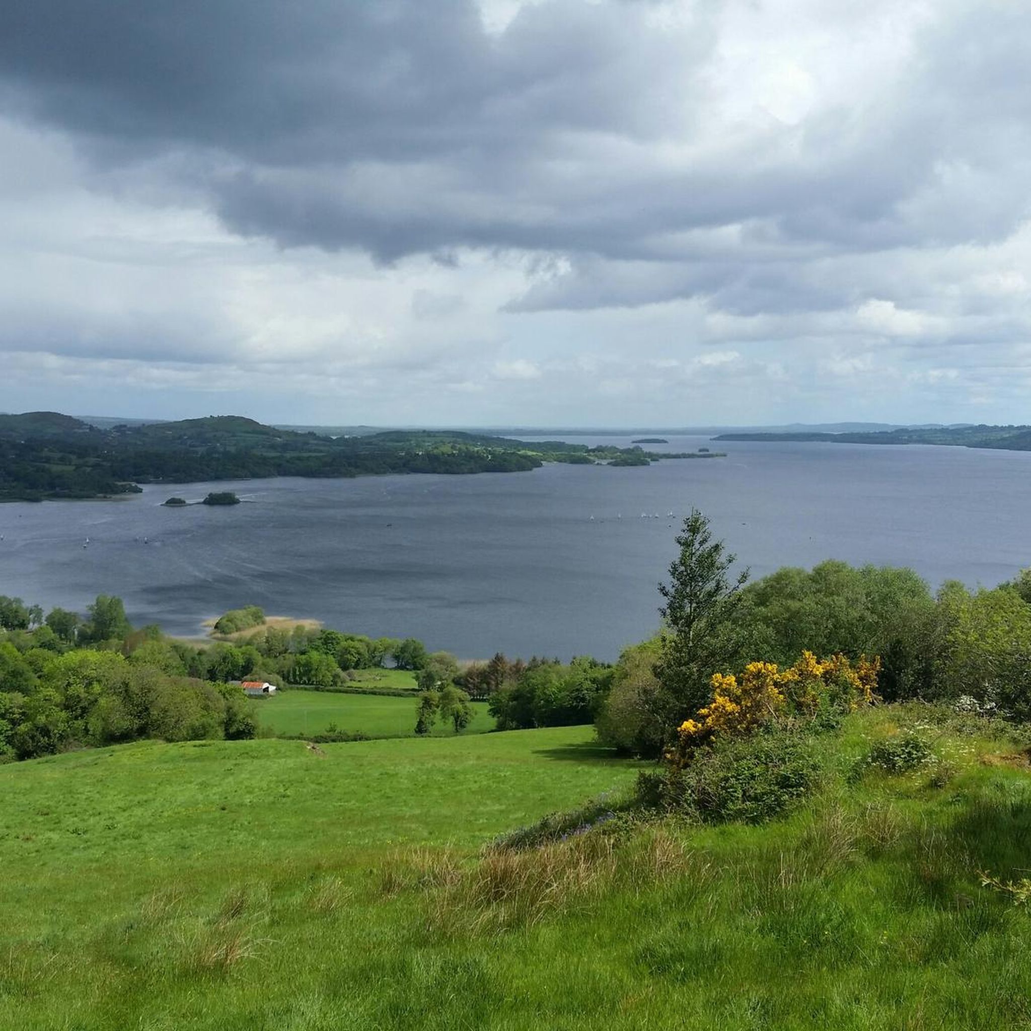
Be sure to make time to appreciate the stunning view of Lough Derg from Crag Hill.
1
0

The shoreline of Lough Derg, Ireland's third largest lake, is some of the most beautiful scenery in County Clare and provides a spectacular backdrop for a walk. The area is rich in history and culture and offers breathtaking views of the lake and surrounding hills.
1
0

Great spot to take a break. There's now a coffee shop, and life guards on duty in summer if you fancy a swim
1
0
Frequently Asked Questions
What types of terrain can I expect on the running routes in Ballycuggaran?
Ballycuggaran offers a diverse range of terrain for runners. You'll find everything from paved surfaces and accessible paths along the Lough Derg shoreline to gravel trails, forestry tracks through Crag Wood, and even a unique boardwalk section over boggy ground leading to Moylussa Summit. This variety caters to different preferences and fitness levels.
Are there running routes suitable for beginners or those looking for an easier jog?
Yes, Ballycuggaran has options for all abilities. For an easier experience, consider the View of Lough Derg loop from Ballycuggaran Beach, which is a moderate 4.6-mile (7.4 km) trail with varied terrain and lovely lake views. The Lough Derg Shoreline loop from Ballycuggaran Beach is also noted as an easier, accessible path.
What kind of views and natural features can I see while jogging in Ballycuggaran?
Runners in Ballycuggaran are treated to spectacular scenery. You'll enjoy expansive views of Lough Derg, Ireland's third-largest lake, and the surrounding Slieve Bernagh Mountains. The View of Lough Derg – Moylussa Summit Boardwalk loop from Ballycuggaran offers panoramic vistas from Moylussa Summit, extending to Dromineer, Limerick, and even the mountains of Kerry on a clear day. You'll also run through dense forests in Crag Wood and overlook the scenic Annacarriga Valley.
Are there any challenging running trails for experienced runners?
Absolutely. For those seeking a challenge, the Moylussa & Ballycuggaran loop is a difficult 6.3-mile (10.1 km) trail with significant elevation gain, combining the summit of Moylussa with broader views. Another demanding option is the Moylussa Summit Boardwalk loop from Ballycuggaran, which features a substantial ascent to the highest point in County Clare.
Is there parking available near the running routes in Ballycuggaran?
Yes, Ballycuggaran offers amenities including a car park, making it convenient for runners to access the trails. Many routes, such as the Ballycuggaran Loop Walk, start near accessible points like the University of Limerick watersports and adventure center at Rinnaman Point (Two-mile Gate), which typically has parking facilities.
What do other runners say about the trails in Ballycuggaran?
The running routes in Ballycuggaran are highly rated by the komoot community, with an average score of 4.0 stars from over 2 reviews. More than 260 runners have used komoot to explore the varied terrain, often praising the stunning views of Lough Derg and the diverse landscape that caters to different fitness levels.
Are there any historical sites or landmarks to look out for on the trails?
Yes, Ballycuggaran is rich in history. On Crag Hill, you can find a fort dating back to the early Christian period, reputedly the birthplace of St. Flannan. The area is also home to Aoibheal's Rock, the legendary abode of the fairy queen of the O'Briens, located at the highest point of Ballycuggaran. These sites add an interesting historical dimension to your run.
Can I access the running trails in Ballycuggaran using public transport?
While specific public transport routes directly to all trailheads might be limited, the Ballycuggaran Loop Walk, for instance, starts near Rinnaman Point (Two-mile Gate), which may have connections or be accessible via local taxi services from nearby towns. It's advisable to check local bus schedules or taxi availability for the most up-to-date information.
Are there any circular running routes in Ballycuggaran?
Yes, many of the popular running routes in Ballycuggaran are circular. Examples include the challenging Moylussa & Ballycuggaran loop, the View of Lough Derg – Moylussa Summit Boardwalk loop from Ballycuggaran, and the moderate View of Lough Derg loop from Ballycuggaran Beach. The Crag Wood Walk and the Ballycuggaran Loop Walk are also designed as loops, offering convenient starting and ending points.
What is the best time of year to go running in Ballycuggaran?
Ballycuggaran offers beautiful running conditions throughout much of the year. Spring and autumn provide pleasant temperatures and vibrant scenery. Summer is also popular, especially for enjoying Lough Derg. While the Moylussa Summit boardwalk helps with wet ground, be prepared for potentially boggy conditions and changing weather, especially in winter or after heavy rain. Always check local weather forecasts before heading out.
Are there any facilities or amenities available for runners in Ballycuggaran?
Beyond car parks and picnic sites, Ballycuggaran is enhancing its facilities. A new €1.2 million water sports facility is under construction, which will include hot showers, changing areas, secure storage, and equipment washdown. This will significantly improve the amenities available for outdoor enthusiasts, including runners, in the area.
Can I find longer running routes in Ballycuggaran for endurance training?
Yes, for longer endurance runs, consider combining sections or exploring routes like the Lough Derg Shoreline – Moylussa Summit Boardwalk loop from Annacarriga River, which spans over 15 km (9.3 miles) and includes significant elevation. The Crag Wood Walk also connects to the longer East Clare Way, offering possibilities for extended runs.

Get inspired with the komoot mobile app


Explore more
Browse the best Running Trails & Routes in other regions.
