Top 6 Natural Monuments in Iztaccíhuatl-Popocatépetl
Best natural monuments in Iztaccíhuatl-Popocatépetl include dramatic volcanic peaks and diverse ecosystems. The region is defined by the towering Popocatépetl and Iztaccíhuatl volcanoes, which shape the local landscape and biodiversity. This protected natural area offers a range of geographic features, from high-altitude forests to alpine meadows. Its natural monuments hold cultural significance, often appearing in local mythology.
Best natural monuments in Iztaccíhuatl-Popocatépetl
- The most popular natural monuments is Frozen Waterfall, a waterfall that, in colder weather, offers a stunning…
Last updated: May 11, 2026
Frozen Waterfall
Highlight • Waterfall
Translated by Google •
Tip by

Shark Head Rock
Highlight • Natural Monument
Translated by Google •
Tip by

Sign up now to discover places like this
Get recommendations on the best single tracks, peaks, & plenty of other exciting outdoor places.
Sign up for free
Iztaccíhuatl Summit
Highlight • Summit
Tip by

Popocatépetl Volcano
Highlight • Volcano
Translated by Google •
Tip by

Summit of Popocatépetl
Highlight • Summit
Tip by

Sign up for free to discover even more natural monuments in Iztaccíhuatl-Popocatépetl.
Sign up for free
Already have an account?
Start today with a free account
Your next adventure awaits.
Login or Signup
Popular around Iztaccíhuatl-Popocatépetl

Tips from the Community

A beautiful waterfall that, in colder weather, offers a stunning picture of its frozen waters.
0
0
An iconic rock for its shark shape, it is a reference point for the route to the Otis McAllister refuge.
0
0


The air is getting quite thin once you get closer to the top. Allow yourself enough time to get up there. We had to take a lot of breaks and needed around 4 to 5 hours to get there!
1
0

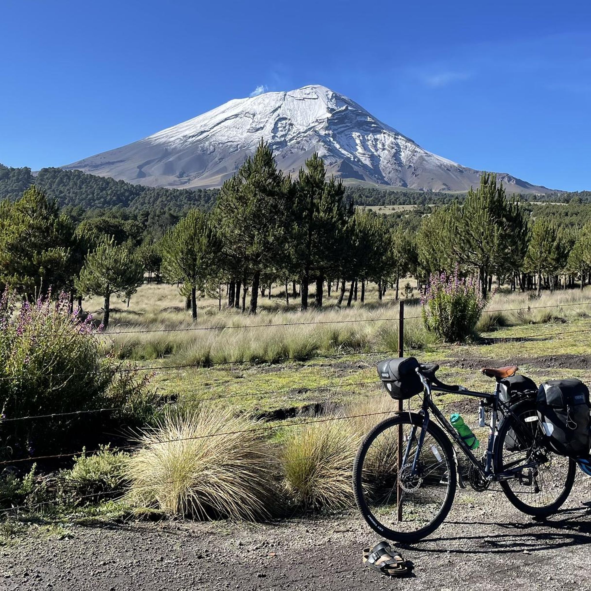
Carolina is absolutely right. Wen you are going up Izta and dawn breaks upon you the views across to the continually smoking Popo is amazing. Every time you turn back to take a picture you just have this marvellous volcano as a back drop. I simply love Mexico, its people and its mountains!
2
0
Iztaccíhuatl (alternative spellings include Ixtaccíhuatl, or either variant spelled without the accent) (Nahuatl pronunciation: [istakˈsiwat͡ɬ] (About this soundlisten) or, as spelled with the x, [iʃtakˈsiwat͡ɬ] (About this soundlisten)), is a 5,230 m (17,160 ft) dormant volcanic mountain in Mexico located on the border between the State of Mexico and Puebla within Izta-Popo Zoquiapan National Park. It is the nation's third highest, after Pico de Orizaba at 5,636 m (18,491 ft), and Popocatépetl at 5,426 m (17,802 ft). The name "Iztaccíhuatl" is Nahuatl for "White woman", reflecting the four individual snow-capped peaks which depict the head, chest, knees and feet of a sleeping female when seen from east or west. Iztaccíhuatl is to the north of its twin Popocatépetl, to which it is connected by the high altitude Paso de Cortés. Depending on atmospheric conditions Iztaccíhuatl is visible much of the year from Mexico City some 70 km (43 mi) to the northwest. The first recorded ascent was made in 1889, though archaeological evidence suggests the Aztecs and previous cultures climbed it previously. It is the lowest peak containing permanent snow and glaciers in Mexico.
4
0

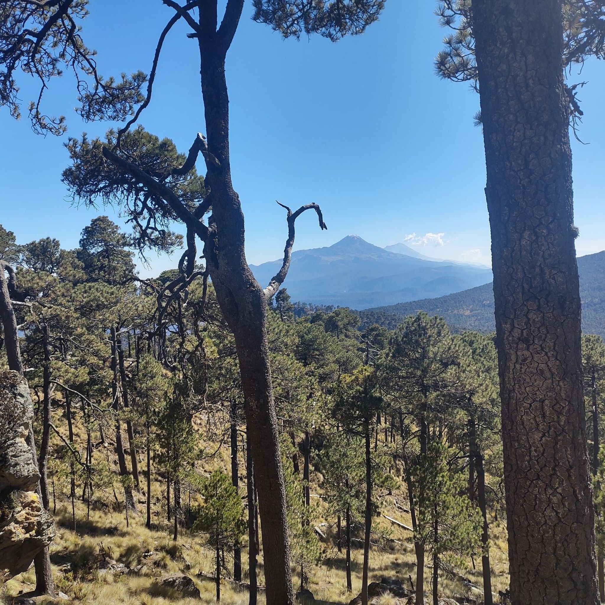
The access to the Popo is closed due to its constant activity, but the view from the Izta is amazing.
2
0
Frequently Asked Questions
What unique natural monuments can I explore in Iztaccíhuatl-Popocatépetl beyond the main volcanoes?
Beyond the prominent volcanoes, you can discover unique natural formations like the Frozen Waterfall, which offers a stunning spectacle in colder weather. Another notable spot is Shark Head Rock, known for its distinctive shape and serving as a reference point for routes to the Otis McAllister refuge. The park also features diverse ecosystems, from high-altitude forests to alpine meadows.
What kind of hiking experiences are available near the natural monuments in Iztaccíhuatl-Popocatépetl?
The region offers a variety of hiking experiences, from challenging ascents to scenic loops. For experienced hikers, Iztaccíhuatl provides demanding routes to its summit, such as those starting from La Joya. You can find detailed hiking guides for the area, including routes like the 15.6 km 'Apatlaco River Waterfall – Paso de Cortés loop from Paso de Cortés' or the 8 km 'Paso de Cortés loop from Paso de Cortés', by visiting the Hiking in Iztaccíhuatl-Popocatépetl guide.
Are there any family-friendly trails or activities around the natural monuments?
While some areas are challenging, the Iztaccíhuatl-Popocatépetl National Park offers sections suitable for families, particularly around Paso de Cortés. This historic pass provides incredible views and is a convenient stop with facilities on weekends. Lower elevation trails through coniferous and oak forests can also be less strenuous and offer opportunities for wildlife spotting.
What is the best time of year to visit the natural monuments in Iztaccíhuatl-Popocatépetl?
The dry season, typically from November to May, is generally considered the best time to visit. During these months, the weather is clearer, offering better visibility of the volcanoes and surrounding landscapes. This period is also ideal for hiking and mountaineering, as trails are less muddy and conditions are more stable.
What cultural and historical significance do the natural monuments hold?
The natural monuments, especially the volcanoes Popocatépetl and Iztaccíhuatl, are deeply rooted in local mythology and history. Popocatépetl is often depicted in Aztec legends as a brave warrior, while Iztaccíhuatl's distinctive silhouette resembles a sleeping woman, inspiring romantic tales. The Paso de Cortés is also a significant historical site, named after Hernán Cortés, who traversed it in 1519.
Can I access the summit of Popocatépetl Volcano?
No, access to the summit of Popocatépetl Volcano is restricted due to its ongoing activity. However, its smoking peak provides stunning views from various viewpoints within the park, particularly from the slopes of Iztaccíhuatl. The constant activity makes it a breathtaking natural spectacle from a safe distance.
What kind of wildlife can I expect to see in the Iztaccíhuatl-Popocatépetl National Park?
The park's diverse ecosystems, ranging from forests to alpine meadows, support a variety of wildlife. You might spot white-tailed deer, rabbits, bobcats, coyotes, and various bird species like hawks and eagles. The park is also home to unique species such as the endangered volcano rabbit, or teporingo.
Are there any mountain biking trails near the natural monuments?
Yes, the region offers challenging mountain biking trails. For example, you can explore routes like the 15.6 km 'Paso de Cortés Monument – La Joya Pass – 4,000 m loop from Paso de Cortés'. More options and detailed routes can be found in the MTB Trails in Iztaccíhuatl-Popocatépetl guide.
What do visitors enjoy most about the natural monuments in Iztaccíhuatl-Popocatépetl?
Visitors frequently praise the breathtaking views, especially the sight of the continually smoking Popocatépetl from Iztaccíhuatl. The unique geological formations, like the Shark Head Rock, and the seasonal beauty of the Frozen Waterfall are also highly appreciated. The sense of adventure on challenging climbs and the rich cultural history add to the overall appeal.
Are there specific permits required for hiking or climbing in the Iztaccíhuatl-Popocatépetl National Park?
Yes, permits are generally required for entry into the Iztaccíhuatl-Popocatépetl National Park, especially for activities like hiking and climbing, particularly for higher elevations on Iztaccíhuatl. It's advisable to check the latest regulations and obtain necessary permits in advance, as access rules can change, especially concerning active volcanoes.
Where can I find facilities or food vendors near the natural monuments?
The Paso de Cortés, located between Iztaccíhuatl and Popocatépetl, is a key access point and often has facilities and food vendors available, especially on weekends. This makes it a convenient stop for visitors looking for refreshments or a place to rest while enjoying the panoramic views of both volcanoes.
What is the elevation of Iztaccíhuatl Summit and what are its features?
The Iztaccíhuatl Summit reaches 5,230 meters (17,160 feet). It is a dormant volcanic mountain, Mexico's third-highest peak, known for its distinctive silhouette resembling a reclining woman. It features glaciers and rugged rock slopes, with diverse vegetation zones leading up to the snowline. The name 'Iztaccíhuatl' is Nahuatl for 'White woman', reflecting its snow-capped peaks.
Most popular routes in Iztaccíhuatl-Popocatépetl
Most popular attractions in Iztaccíhuatl-Popocatépetl

Get inspired with the komoot mobile app


Explore more
Extend your search for the best caves by checking out these guides of the top ones in Iztaccíhuatl-Popocatépetl:
