The best cycling routes in Iztaccíhuatl-Popocatépetl
4.7
(7)
71
riders
2
rides
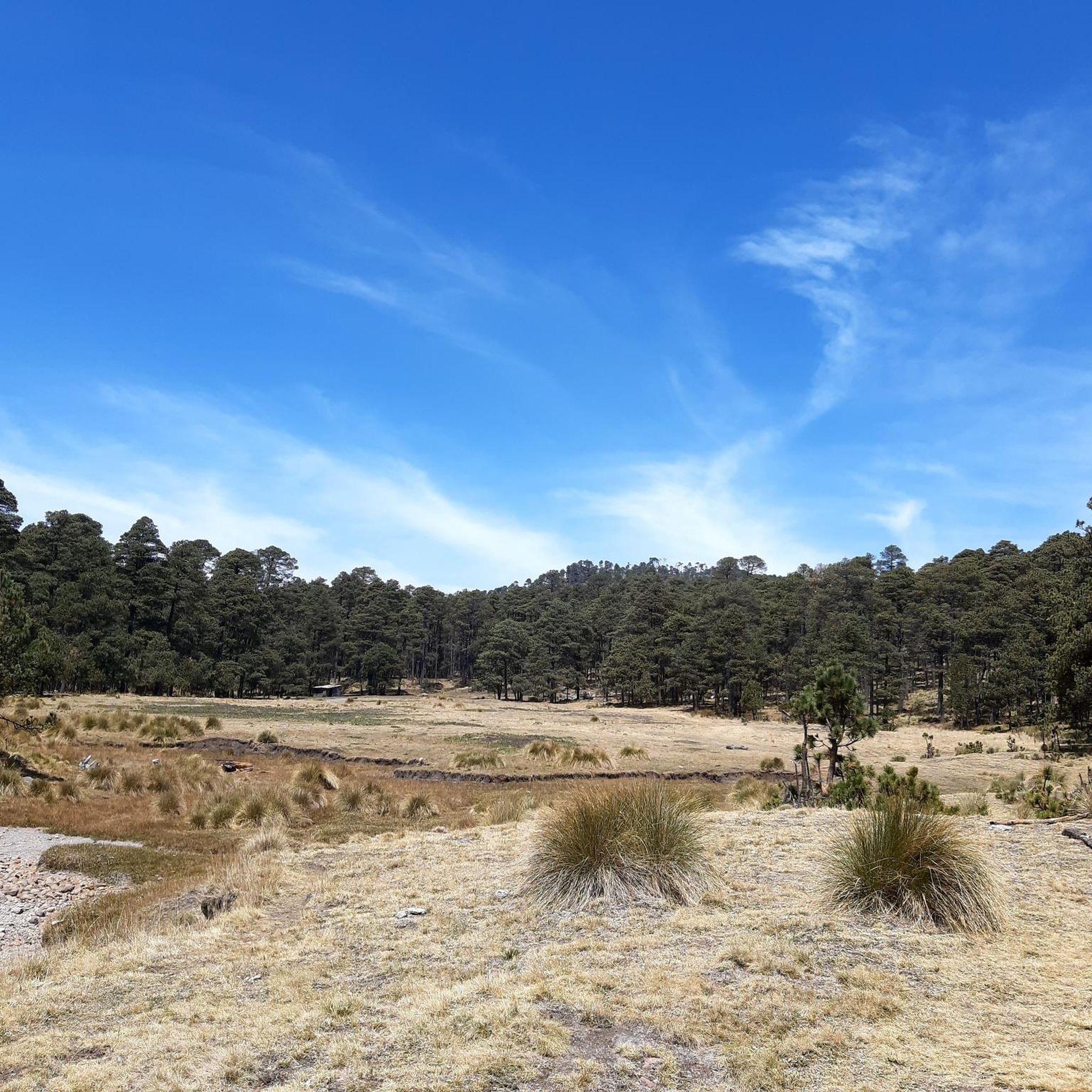
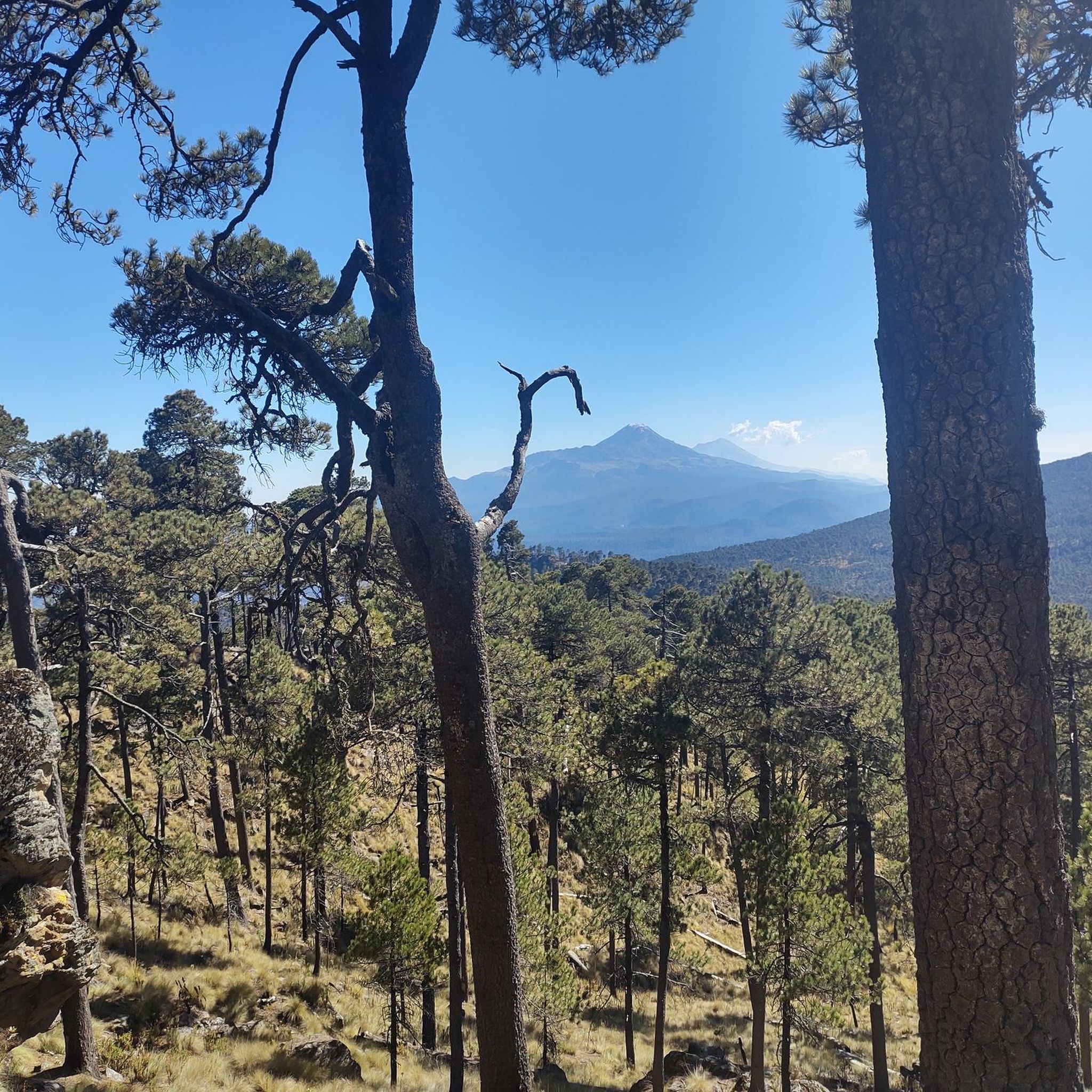
Touring cycling in Iztaccíhuatl-Popocatépetl offers routes through a protected area dominated by the Iztaccíhuatl and Popocatépetl stratovolcanoes. The region features diverse ecosystems, including coniferous forests, oak forests, and high mountain meadows. Significant elevation changes are present, characteristic of the Trans-Mexican Volcanic Belt, with the Paso de Cortés situated at 3,300 meters above sea level. Volcanic ash-covered paths provide unique riding surfaces and panoramic views of the peaks.
Best touring cycling routes in Iztaccíhuatl-Popocatépetl
- The most popular touring cycling route is…
Last updated: May 21, 2026
3
riders
10.4km
01:07
230m
230m
Moderate bike ride. Good fitness required. Mostly paved surfaces. Suitable for all skill levels.
5.0
(2)
27
riders
35.9km
02:57
1,150m
1,150m
Hard bike ride. Very good fitness required. Mostly paved surfaces. Suitable for all skill levels.

Sign up for free
4.0
(3)
30
riders
50.2km
03:53
1,330m
1,330m
Hard bike ride. Very good fitness required. Mostly paved surfaces. Suitable for all skill levels.
2
riders
17.0km
01:04
80m
80m
Easy bike ride. Great for any fitness level. Mostly paved surfaces. Suitable for all skill levels.
2
riders
Hard bike ride. Very good fitness required. Mostly paved surfaces. Suitable for all skill levels.
Our route recommendations are based on thousands of hikes, rides, and runs completed by other people on komoot.
Start today with a free account
Your next adventure awaits.
Login or Signup
Popular around Iztaccíhuatl-Popocatépetl

Tips from the Community


The air is getting quite thin once you get closer to the top. Allow yourself enough time to get up there. We had to take a lot of breaks and needed around 4 to 5 hours to get there!
1
0

Starting point for hikes on the volcanoes. Located at 3,600 meters, the air is much thinner.
2
0
Frequently Asked Questions
What are the difficulty levels of touring cycling routes in Iztaccíhuatl-Popocatépetl?
The region offers a range of routes, from moderate to difficult, catering to different skill levels. For example, the Summit of Popocatépetl – Paso de Cortés loop from Paso de Cortés is considered moderate, while routes like the Route of the Volcanoes – Paso de Cortés loop from Amecameca present a more difficult challenge with substantial climbs.
Are there any family-friendly or beginner touring cycling routes in the park?
Yes, for those seeking an easier ride, the Parque Amecameca loop from Amecameca is an excellent option. This 10.6-mile (17.0 km) trail leads through local park areas and is often completed in about 1 hour 4 minutes, making it suitable for families or beginner touring cyclists.
What scenic viewpoints or attractions can I discover while cycling in the region?
The Iztaccíhuatl-Popocatépetl National Park is rich in dramatic scenery. You can enjoy breathtaking panoramic views from the historic Paso de Cortés Monument, situated at 3,300 meters above sea level. Other notable viewpoints include View from Las Rodillas (Portillo 3), and the Cerro Tláloc Summit and Archaeological Site. On clear days, you might even spot Pico de Orizaba and La Malinche from higher elevations.
Are there any routes that pass by waterfalls or other water features?
While the park is crucial for water infiltration, supplying fresh water to surrounding valleys, specific touring cycling routes directly passing major waterfalls are less common. However, the region is known for features like the Apatlaco Waterfall, and you might encounter the Frozen Waterfall highlight, which adds to the scenic beauty and offers a unique point of interest.
Can I find circular touring cycling routes in the Iztaccíhuatl-Popocatépetl region?
Yes, many of the touring cycling routes in the area are designed as loops, allowing you to start and end at the same point. Examples include the moderate Summit of Popocatépetl – Paso de Cortés loop from Paso de Cortés and the more challenging Route of the Volcanoes – Paso de Cortés loop from San Pedro Nexapa.
What is the best season for touring cycling in Iztaccíhuatl-Popocatépetl?
The park experiences diverse weather due to its significant elevation changes. Generally, the dry season (roughly November to May) offers clearer skies and more stable conditions, which are ideal for cycling and enjoying the panoramic views of the volcanoes. However, always check the local weather forecast before heading out, especially for high-altitude sections.
Where can I find parking near the touring cycling trailheads?
Many routes, particularly those starting from significant points like Paso de Cortés or towns such as Amecameca, typically have designated parking areas. For instance, routes originating from Paso de Cortés usually have parking facilities available, serving as common starting points for excursions into the park.
Are there any permits required for biking in Iztaccíhuatl-Popocatépetl National Park?
As a protected area, certain activities within Iztaccíhuatl-Popocatépetl National Park may require permits or prior reservations, especially for camping or accessing specific high-altitude zones. While general cycling on established routes might not always require a specific permit, it's advisable to check with the park authorities for the latest regulations before your visit, particularly if you plan to venture into less-traveled areas or stay overnight.
What kind of terrain can I expect on touring cycling routes in this region?
The terrain is highly varied due to the volcanic landscape and diverse ecosystems. You can expect volcanic ash-covered paths, challenging climbs and descents characteristic of the Trans-Mexican Volcanic Belt, and sections through coniferous forests, oak forests, and high mountain meadows (zacatonales). This offers a unique and engaging riding experience.
What do other touring cyclists enjoy most about cycling in Iztaccíhuatl-Popocatépetl?
The area is highly rated by the komoot community, with an average score of 4.7 stars. Reviewers often praise the dramatic volcanic landscapes, the unique experience of cycling near iconic stratovolcanoes like Iztaccíhuatl and Popocatépetl, and the challenging yet rewarding elevation changes. The panoramic views from points like Paso de Cortés are frequently highlighted as a major draw.
Are there opportunities for multi-day touring cycling trips in the park?
While many routes are suitable for day trips, the park's extensive area and designated camping zones like El Redondel or La Joyita offer potential for multi-day touring. You would need to plan your route to incorporate these overnight stays, which typically require prior reservations. This allows for a deeper exploration of the diverse ecosystems and historical sites.
What wildlife might I encounter while cycling in Iztaccíhuatl-Popocatépetl?
The park is home to a variety of fauna, including the unique volcano rabbit (teporingo or zacatuche), lynx, and numerous bird species. While cycling, you might have the chance to observe some of this diverse wildlife, particularly in the quieter forested and meadow areas. Remember to maintain a respectful distance and avoid disturbing the animals.
Most popular routes in Iztaccíhuatl-Popocatépetl
Most popular attractions in Iztaccíhuatl-Popocatépetl

Get inspired with the komoot mobile app


Explore more
Browse the best Cycling routes in other regions.
