The best MTB trails in Iztaccíhuatl-Popocatépetl
4.8
(24)
52
riders
3
rides
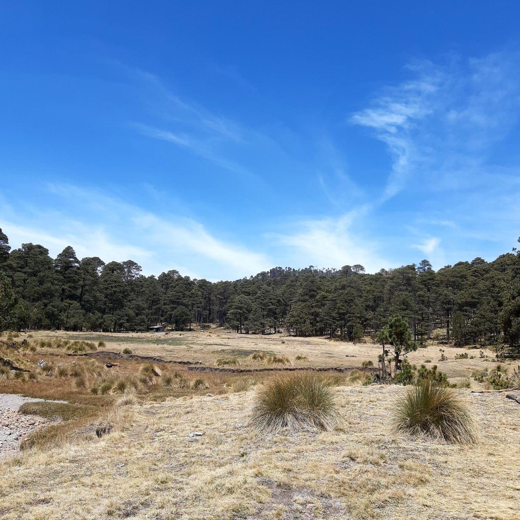
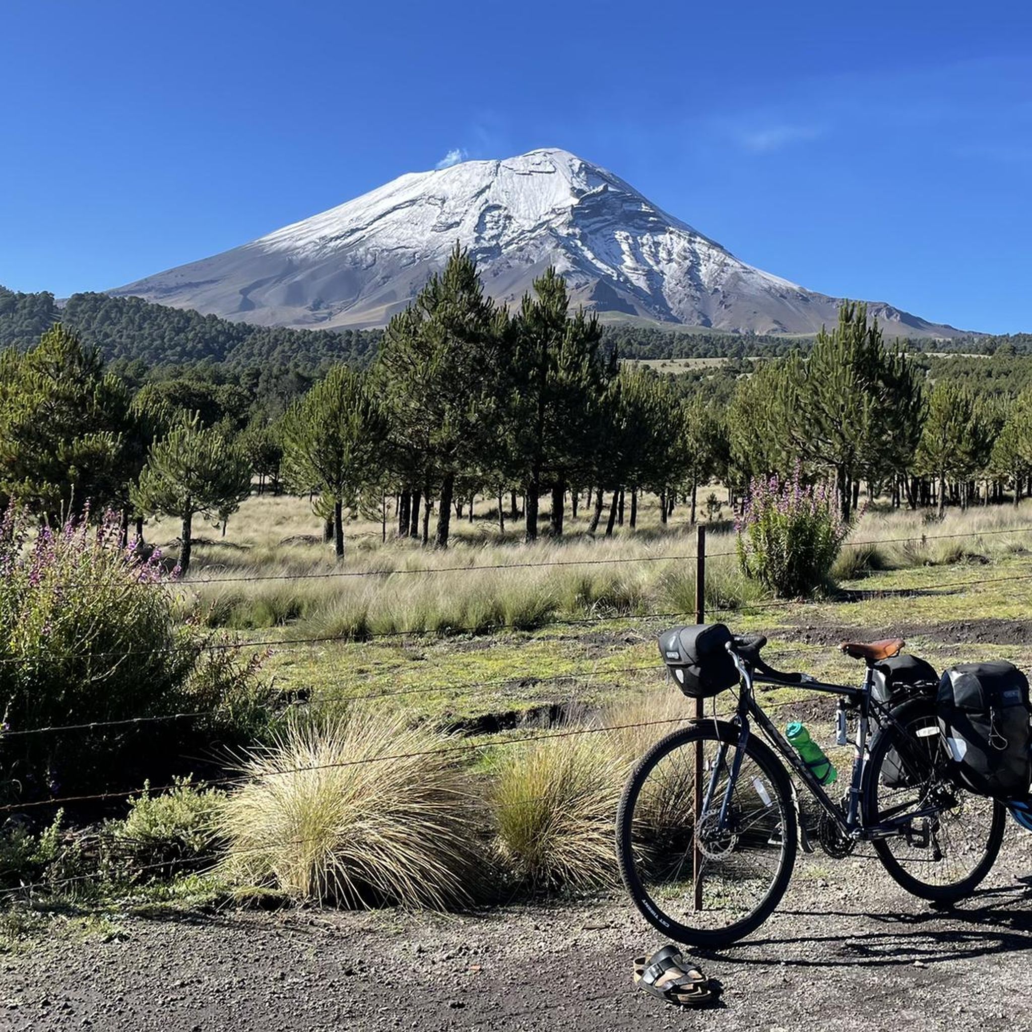
Mountain bike trails in Iztaccíhuatl-Popocatépetl National Park traverse a diverse and challenging volcanic landscape. The region is characterized by imposing volcanoes like Popocatépetl and Iztaccíhuatl, transitioning from coniferous and oak forests at lower altitudes to alpine meadows and rugged rocky terrain higher up. High mountain passes, such as Paso de Cortés, offer panoramic views and serve as starting points for many routes. This varied topography provides a range of mountain biking experiences amidst significant natural beauty.
Best mountain bike trails…
Last updated: July 23, 2026
5.0
(2)
15
riders
15.6km
01:30
340m
340m
Hard mountain bike ride. Good fitness required. Advanced riding skills necessary. Some portions of the route may require you to push your bike.
5.0
(1)
12
riders
23.8km
02:53
930m
930m
Hard mountain bike ride. Very good fitness required. Suitable for all skill levels.

Sign up for free
5.0
(2)
4
riders
40.3km
04:32
1,430m
1,430m
Hard mountain bike ride. Very good fitness required. Suitable for all skill levels.
4.0
(11)
6
riders
50.7km
03:59
1,330m
1,330m
Hard mountain bike ride. Very good fitness required. Suitable for all skill levels.
5.0
(1)
2
riders
20.6km
01:48
460m
460m
Moderate mountain bike ride. Good fitness required. Suitable for all skill levels.
Our route recommendations are based on thousands of hikes, rides, and runs completed by other people on komoot.
Start today with a free account
Your next adventure awaits.
Login or Signup
Popular around Iztaccíhuatl-Popocatépetl

Tips from the Community

Amecameca de Juaréz is the municipal capital. It's a well-known town and a popular destination for visitors to the volcanoes, as it's located right at the foot of the volcanoes and is a national tourism area. There's almost everything here, plenty of food (the market, stalls, and shops), and there are bike repair shops if you need them. The plaza is large, with a traditional kiosk and church.
2
0
A monument depicting the passage of Spanish conquistador Hernán Cortés into the Valley of Mexico in 1520, mounted on a roundabout that provides access in several directions: Tlamacas (closed since the 1990s), Izta-Popo Refuge, Xalitzintla, Iztaccíhuatl, and San Pedro Nexapa. Its now-classic "Paso de Cortés" sign is a place where you can take a souvenir photo (of the achievement), which is currently obscure due to the countless stickers pasted by people from various cycling, motorcycling, mountaineering, and other clubs. Here, in addition to the beautiful view, you'll also find plenty of food on weekends; during the week, it's difficult to find supplies. The cold is usually very high, so always be prepared for the changes in mountain weather.
3
0


If you arrive by car to the Pluma de San Pablo Ixayoc you can leave it at the restaurant "El Venturero", from there you will walk a couple of hours to get to the Cabaña. It is the same route that is followed to go to Canoas Altas (ecotourism center) or El Tláloc (mountain and archaeological zone). A challenge for physical condition.
2
0

Food market next to Amecameca church
0
0

The starting point for climbing the volcano ... the only place where I haven't met any Germans or German speakers for two weeks in 11 months.
0
0
Frequently Asked Questions
What is the general difficulty level of mountain bike trails in Iztaccíhuatl-Popocatépetl?
The mountain bike trails in Iztaccíhuatl-Popocatépetl are generally challenging, with a focus on difficult routes. Out of the 5 routes listed, 3 are classified as difficult and 1 as moderate. These trails often involve significant elevation gains and demand good to very good fitness and advanced riding skills due to the volcanic and rugged terrain.
Are there any beginner-friendly mountain bike trails in Iztaccíhuatl-Popocatépetl?
The mountain bike trails in Iztaccíhuatl-Popocatépetl are predominantly challenging. There are no routes specifically classified as easy in the provided data. The terrain, characterized by volcanic landscapes and high altitudes, generally requires a good level of fitness and mountain biking experience.
Can I find mountain bike trails that pass by waterfalls in the park?
Yes, you can. The Muro del Aguileón – Hidden Waterfall loop from Amecameca is a moderate 13.8 km trail that leads through forested areas and past a hidden waterfall. Another option is the Hidden Waterfall – Stream loop from Amecameca, a more challenging 36.7 km route that also features a waterfall.
What kind of terrain can I expect on the mountain bike trails in Iztaccíhuatl-Popocatépetl?
You can expect a highly diverse and challenging terrain. Trails traverse volcanic landscapes, ranging from coniferous and oak forests at lower altitudes to alpine meadows and rugged rocky terrain higher up. The park's dirt roads can be rugged, adding to the adventurous experience. Some sections may even require pushing your bike.
What landmarks or viewpoints can I see while mountain biking in the region?
The region offers stunning natural and cultural landmarks. You can experience breathtaking panoramic vistas from Paso de Cortés Monument, a crucial mountain pass. Other notable attractions include the La Joya Trailhead (Iztaccíhuatl), which also serves as a base camp, and the Cerro Tláloc Summit and Archaeological Site. You might also encounter the Frozen Waterfall.
Are there any circular mountain bike routes available?
Yes, several routes in the area are designed as loops. For example, the Paso de Cortés Monument – La Joya Pass – 4,000 m loop from Paso de Cortés is a 15.6 km challenging ride. Another option is the Venturero Stop – La Cabaña de Ollantaytambo loop, a difficult 23.8 km path. The Muro del Aguileón – Hidden Waterfall loop from Amecameca is a moderate 13.8 km trail.
Is parking available at the trailheads for mountain biking?
Yes, parking is available at key access points. For instance, La Joya, located at 4,000 meters above sea level, serves as a base camp and parking lot, primarily for those ascending Iztaccíhuatl, but also accessible for off-road vehicles from Paso de Cortés. Many trails also start from towns like Amecameca, where local parking options may be available.
What is the best time of year to go mountain biking in Iztaccíhuatl-Popocatépetl?
The park's diverse ecosystems mean conditions can vary significantly with elevation. While specific best times aren't detailed, generally, the dry season (roughly November to May) might offer more stable trail conditions. However, always check local weather forecasts, especially for high-altitude areas, as conditions can change rapidly, and snow can be present on the higher peaks.
What do other mountain bikers enjoy most about mountain biking in Iztaccíhuatl-Popocatépetl?
The area is highly rated by the komoot community, with an average score of 4.8 stars from more than 10 reviews. Mountain bikers often praise the stunning volcanic scenery, the challenging nature of the trails, and the unique experience of riding at high altitudes amidst majestic peaks like Iztaccíhuatl and Popocatépetl.
Are there any regulations or permits required for mountain biking in Iztaccíhuatl-Popocatépetl National Park?
Iztaccíhuatl-Popocatépetl is a National Park, and while mountain biking is recognized as an activity, it's always advisable to check with park authorities for any specific regulations or entry requirements. While no explicit biking permits are mentioned, general park access rules and conservation guidelines should be followed. You can find more general information about the park on the National Parks Association website.
Are there any long-distance mountain bike routes in the area?
Yes, there are several longer routes for those seeking extended rides. The Hidden Waterfall – Stream loop from Amecameca is a challenging 36.7 km trail, and the Amecameca town center – Hidden Waterfall loop from Parque Nacional Sacromonte is an even longer, difficult 40.3 km route, offering extensive exploration of the region's diverse landscapes.
Most popular routes in Iztaccíhuatl-Popocatépetl
Most popular attractions in Iztaccíhuatl-Popocatépetl

Get inspired with the komoot mobile app


Explore more
Browse the best MTB trails in other regions.
