Top 3 Mountain Passes around Saint-Michel-De-Saint-Geoirs
Best mountain passes around Saint-Michel-De-Saint-Geoirs are situated in the Isère department of southeastern France. This village, at an altitude of approximately 580 meters, is a hilly area located between the Bièvre plain and the Chambaran plateau. While Saint-Michel-De-Saint-Geoirs itself features modest elevations, the broader Isère region is known for its mountain ranges, including the Vercors and Chartreuse massifs. These areas offer numerous mountain passes for various outdoor activities.
Best mountain passes around Saint-Michel-De-Saint-Geoirs
- The most popular mountain pass is Col…
Last updated: November 3, 2026
Col de Châtain (684 m)
Highlight • Mountain Pass
Translated by Google •
Tip by

Toutes Aures Pass
Highlight • Mountain Pass
Translated by Google •
Tip by

Sign up now to discover places like this
Get recommendations on the best single tracks, peaks, & plenty of other exciting outdoor places.
Lachard Pass (695 m)
Highlight • Mountain Pass
Translated by Google •
Tip by
Col de la Fête de Chambarand (685 m)
Highlight • Mountain Pass
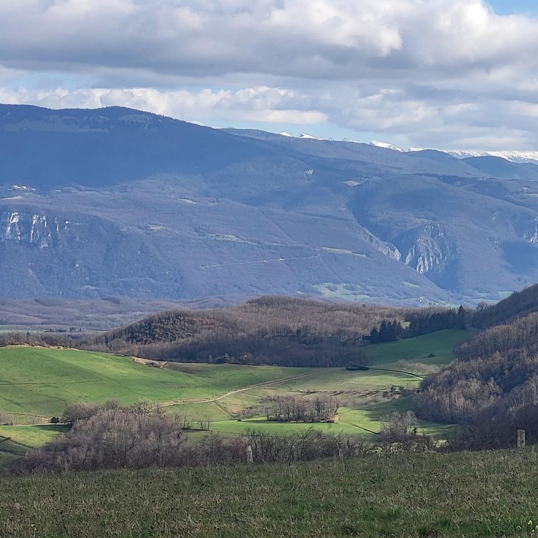
magnificent view of Mont Blanc and the snow-capped mountains on a clear day!
Translated by Google •
Tip by

Route des Crêtes
Highlight (Segment) • Mountain Pass
Translated by Google •
Tip by

Start today with a free account
Your next adventure awaits.
Popular around Saint-Michel-De-Saint-Geoirs
Tips from the Community

Considered by local cyclists to be the most demanding pass in the Chambarans, it mainly connects the Isère valley to the municipality of La Forteresse.
0
0

a very regular pass and super pleasant to climb with beautiful clear viewpoints. magnificent view of Mont Blanc and the snow-capped mountains on a clear day!
1
0

The view from the pass is worth the effort!
0
0
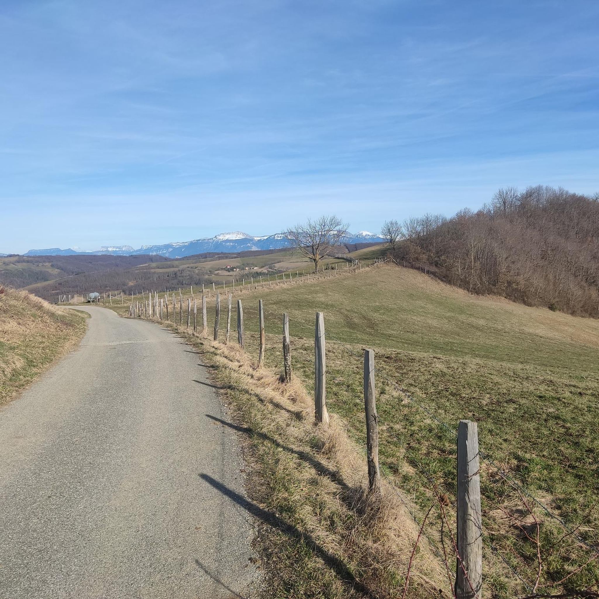
Departure from the Col des Aures at 13% but on a short portion. Then aerial road with a very nice view, very little traffic and with a good coating.
0
0

The Col de Chatain from Tullins is 7.23 km long with a total drop of 469 m. The average gradient is 6.49% with maximum gradients of 12%.
3
0

There is a small cafe, a free water point and a small picnic area in the sun.
0
0
A fairly steady climb from Vinay, the start has easier grades of 2-4% with the second and final part increasing to 5-6%. The views from the top are definitely worth the effort!
2
0

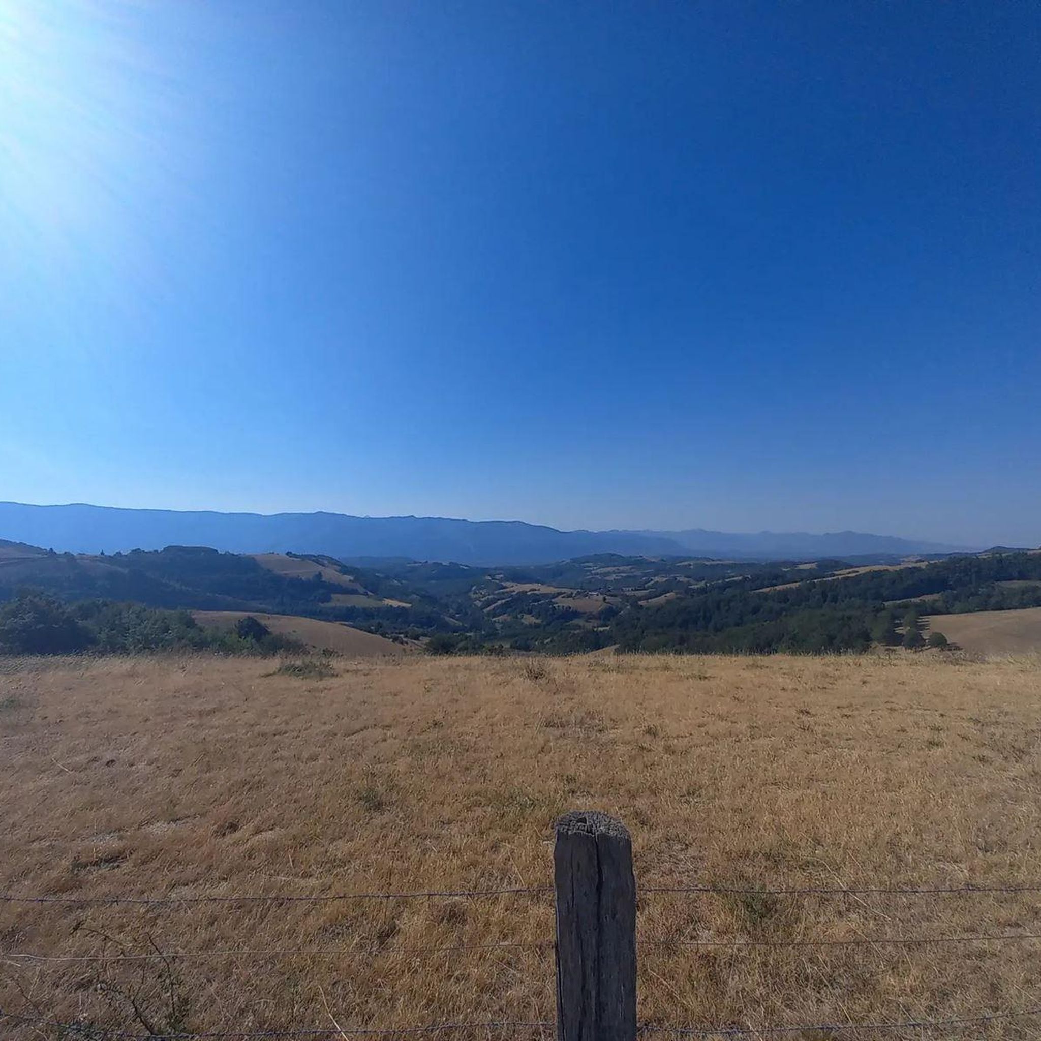
Located between the Chambarans and the Bièvre plain, it gives a view of "all horizons" at an altitude of 628m.
0
0
Frequently Asked Questions
What types of mountain passes can I find around Saint-Michel-De-Saint-Geoirs?
While Saint-Michel-De-Saint-Geoirs itself is a hilly village, the surrounding Isère department offers a variety of mountain passes. These range from lower-altitude passes with scenic viewpoints and facilities like Toutes Aures Pass, to more challenging climbs like Col de Châtain (684 m), which are popular for cycling and offer rewarding views.
Are there mountain passes suitable for cycling near Saint-Michel-De-Saint-Geoirs?
Yes, the area is well-regarded for cycling. Passes like Col de Châtain (684 m) are known for challenging gradients, while Lachard Pass (695 m) offers a steady climb with notable views. You can find various road cycling routes, including loops that incorporate these passes, by exploring the Road Cycling Routes around Saint-Michel-De-Saint-Geoirs guide.
Which mountain passes offer the best views?
Several passes provide excellent panoramic views. Toutes Aures Pass, at 628m, is specifically noted for offering views of 'all horizons' between the Chambarans and the Bièvre plain. Similarly, the view from the top of Lachard Pass (695 m) is highly appreciated by visitors. Col de la Fête de Chambarand (685 m) also offers magnificent views, including Mont Blanc on clear days.
Are there any mountain passes with amenities like cafes or picnic areas?
Yes, Toutes Aures Pass is a great option, featuring a small cafe, a free water point, and a picnic area, making it ideal for a leisurely stop during your exploration.
What are some popular hiking or running trails near these mountain passes?
The region offers numerous trails for hiking and running. For instance, you can find running loops that incorporate passes like Col de Châtain (684 m). For a broader selection of routes, consult the Running Trails around Saint-Michel-De-Saint-Geoirs guide, which includes various difficulty levels.
What is the best time of year to visit the mountain passes in the Isère region?
The best time to visit the mountain passes in the Isère region, including the Vercors and Chartreuse massifs, is generally from late spring to early autumn (May to October). During these months, the weather is typically mild, and the passes are clear of snow, making them ideal for cycling, hiking, and enjoying the scenic beauty. Winter offers opportunities for snow sports, but many passes may be closed or require specific equipment.
Are there mountain passes in the Vercors or Chartreuse massifs accessible from Saint-Michel-de-Saint-Geoirs?
While Saint-Michel-de-Saint-Geoirs is not directly in these massifs, it serves as a gateway to the wider Isère department. The Vercors and Chartreuse massifs, known for their dramatic landscapes and numerous passes, are within reasonable driving distance. For example, the Vercors massif, home to features like the Pic Saint-Michel and Col de l'Arc, offers exceptional panoramic views and diverse environments for excursions.
What kind of terrain can I expect on the mountain passes around Saint-Michel-De-Saint-Geoirs?
The terrain around Saint-Michel-De-Saint-Geoirs is characterized by low mountains and hilly landscapes, situated between the Bièvre plain and the Chambaran plateau. Passes like Col de Châtain (684 m) feature significant elevation changes and gradients, while others like Toutes Aures Pass offer more moderate ascents with open views.
What do visitors enjoy most about the mountain passes in this region?
Visitors frequently highlight the challenging climbs and rewarding scenic viewpoints. The opportunity to explore diverse landscapes, from woods to alpine pastures, and the presence of facilities like cafes and picnic areas at some passes, also contribute to a positive experience. The community has shared many photos and upvotes, indicating a strong appreciation for the area's natural beauty and recreational opportunities.
Are there any gravel biking routes that include these mountain passes?
Yes, the region offers gravel biking opportunities. You can find various routes, including loops that explore the local terrain. For detailed options, refer to the Gravel biking around Saint-Michel-De-Saint-Geoirs guide, which lists routes with varying distances and difficulty grades.
Is the Route des Crêtes a notable mountain pass in the area?
Yes, the Route des Crêtes is recognized as a mountain pass and trail. It's known for its aerial road and very nice views, with little traffic, making it a pleasant option for those seeking scenic drives or rides.
What is the highest point in the immediate vicinity of Saint-Michel-De-Saint-Geoirs?
The highest point in the immediate vicinity of Saint-Michel-De-Saint-Geoirs is 'Le Montolivet,' reaching 735 meters. While not a mountain pass in the traditional sense, it contributes to the village's hilly character.
Most popular routes around Saint-Michel-De-Saint-Geoirs
Most popular attractions around Saint-Michel-De-Saint-Geoirs

Get inspired with the komoot mobile app


Explore more
See even more epic mountain passes by checking out these guides around Saint-Michel-De-Saint-Geoirs:
