The best walks and hikes around Saint-Michel-De-Saint-Geoirs
4.5
(143)
948
hikers
77
hikes
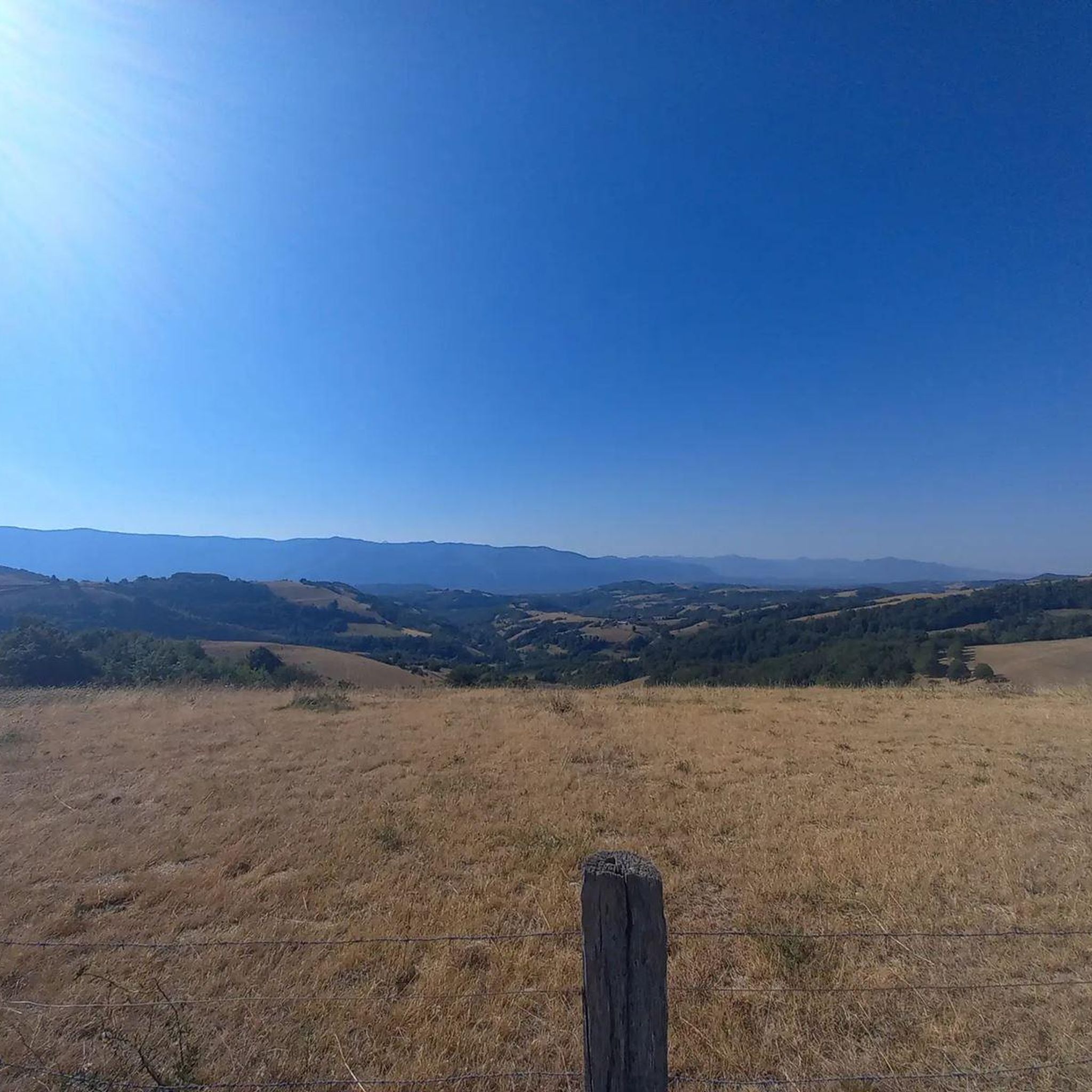
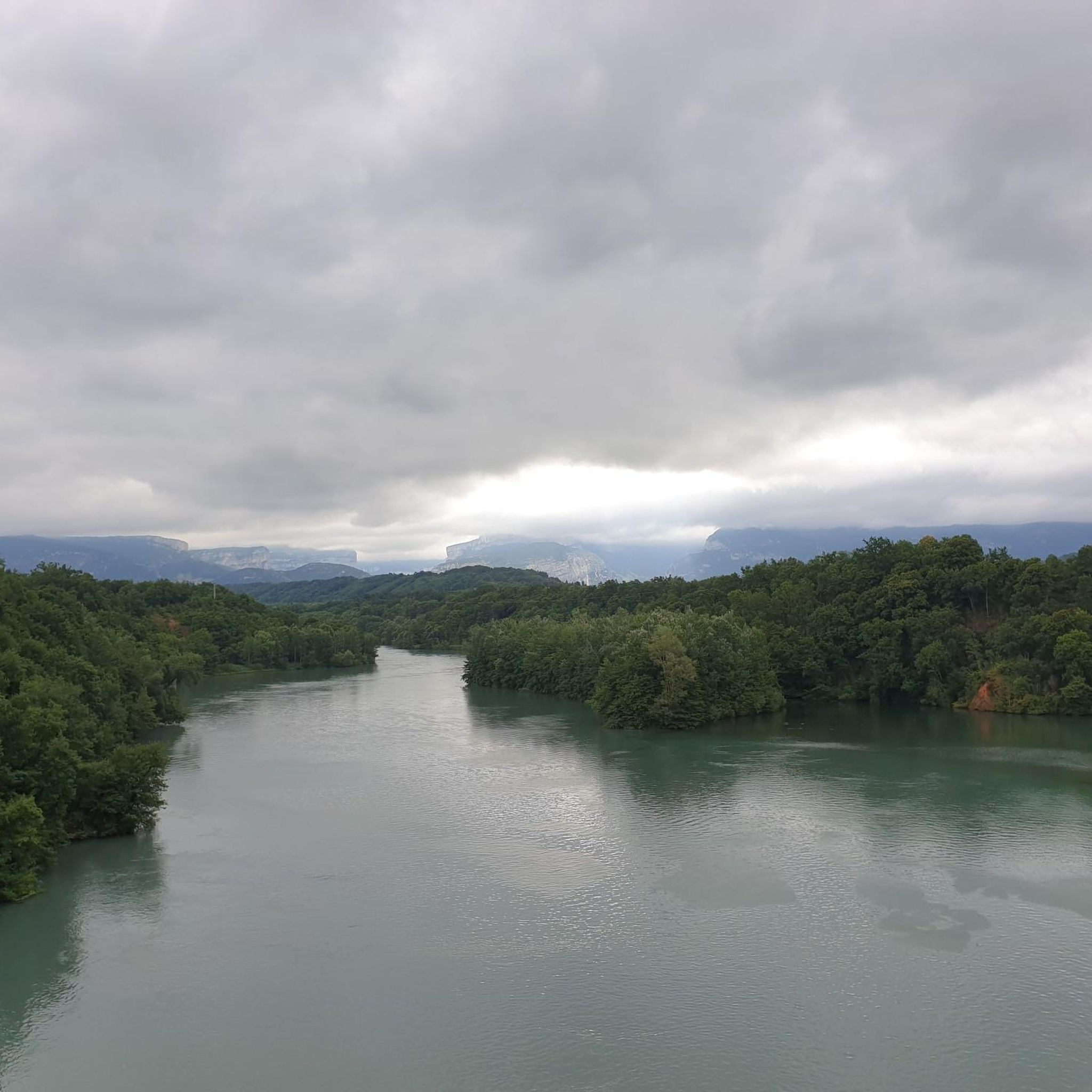
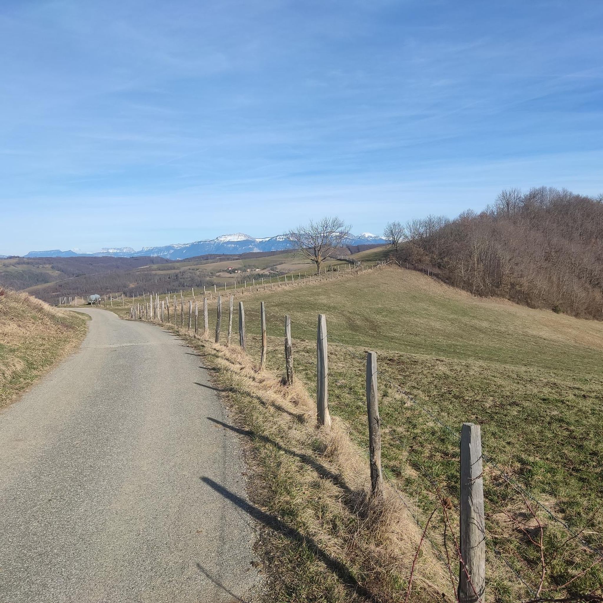
Hiking around Saint-Michel-De-Saint-Geoirs offers diverse landscapes between the Plaine de la Bièvre and the Plateau de Chambaran, situated at approximately 600 meters altitude. The region features green meadows, cultivated lands, bocage, forests, and moraines. Trails frequently provide panoramic views of mountain ranges such as Pilat, Chartreuse, Belledone, and Vercors. Two small streams also meander through the landscape, contributing to the natural features of the area.
Best hiking trails around Saint-Michel-De-Saint-Geoirs
- The most popular hiking route is Château de Sillans loop…
Last updated: May 20, 2026
4.5
(2)
14
hikers
6.93km
02:01
180m
180m
Moderate hike. Good fitness required. Easily-accessible paths. Suitable for all skill levels.
4.0
(2)
17
hikers
9.38km
02:53
330m
330m
Moderate hike. Good fitness required. Easily-accessible paths. Suitable for all skill levels.

Sign up for free
5.0
(3)
11
hikers
11.8km
03:29
340m
340m
Moderate hike. Good fitness required. Easily-accessible paths. Suitable for all skill levels.
5.0
(1)
10
hikers
5.48km
01:39
170m
170m
Easy hike. Great for any fitness level. Easily-accessible paths. Suitable for all skill levels.
4.0
(1)
5
hikers
8.67km
02:17
80m
80m
Moderate hike. Good fitness required. Easily-accessible paths. Suitable for all skill levels.
Get access to more routes and recommendations from other explorers.
Sign up for free
Already have an account?
Our route recommendations are based on thousands of hikes, rides, and runs completed by other people on komoot.
Start today with a free account
Your next adventure awaits.
Login or Signup


Tips from the Community

These ponds are often privately owned, and therefore fishing is prohibited. They are home to many birds and give St Geoirs a touch of the Dombes region.
0
0

The view from the pass is worth the effort!
0
0

The Col de Chatain from Tullins is 7.23 km long with a total drop of 469 m. The average gradient is 6.49% with maximum gradients of 12%.
2
0

There is a small cafe, a free water point and a small picnic area in the sun.
0
0
A fairly steady climb from Vinay, the start has easier grades of 2-4% with the second and final part increasing to 5-6%. The views from the top are definitely worth the effort!
2
0

Located between the Chambarans and the Bièvre plain, it gives a view of "all horizons" at an altitude of 628m.
0
0

Small picnic area and water point at the pass
0
0
Frequently Asked Questions
How many hiking trails are available in Saint-Michel-De-Saint-Geoirs?
There are over 60 hiking routes available in the Saint-Michel-De-Saint-Geoirs area, catering to various skill levels from easy to difficult.
What kind of terrain can I expect on hikes around Saint-Michel-De-Saint-Geoirs?
The terrain is quite diverse, featuring green meadows, cultivated lands, bocage (a landscape of woodlands and pastures), forests, and moraines. You'll find a mix of small asphalt roads and well-maintained dirt tracks, with some trails ascending to ridges for panoramic views.
Are there any easy hiking trails suitable for beginners or casual walkers?
Yes, Saint-Michel-De-Saint-Geoirs offers 19 easy routes. For a mostly flat experience with continuous views of surrounding peaks, consider trails like "Le plateau de la Bièvre depuis Saint-Étienne-de-Saint-Geoirs" mentioned in the region research. A shorter walk around Charpennes in Saint-Siméon-de-Bressieux also provides panoramic views without significant difficulty.
What are the best viewpoints or natural features to see while hiking?
Many trails offer breathtaking panoramic views of prominent mountain ranges such as Pilat, Chartreuse, Belledone, and Vercors. The region is also characterized by two small streams that meander through thickets and meadows. For specific viewpoints, the ridge on the "Au pays de Mandrin" trail offers a remarkable 360° panorama, and the hill near Charpennes provides views of the Bièvre glacial plain and distant Mont Blanc on clear days. You can also explore highlights like Toutes Aures Pass or Col de Châtain (684 m).
Are there any historical or cultural landmarks along the hiking routes?
Beyond natural beauty, the area features old walnut drying sheds and ancient pisé buildings, some dating back to the 17th century. The Sculpture Trail of the Four Winds is another interesting point, and the Madone de Notre-Dame des Vents overlooks the commune. The village church, a neoclassical structure, houses a 17th-century painting of Saint Michael Archangel.
Can I find circular hiking routes in Saint-Michel-De-Saint-Geoirs?
Yes, many of the trails are designed as loops. For example, the Château de Sillans loop from Saint-Étienne-de-Saint-Geoirs is a popular moderate route. Another option is the Col de Châtain (684 m) loop from La Forteresse, which leads through varied landscapes.
What is the best time of year to go hiking in this region?
The diverse landscapes of Saint-Michel-De-Saint-Geoirs are enjoyable across multiple seasons. Spring and autumn offer pleasant temperatures and vibrant scenery. Summer is also suitable, especially for higher elevation trails, while winter can provide unique experiences, though some paths might be less accessible depending on snow conditions.
Are there any family-friendly hiking options?
Yes, the region has 19 easy routes that are generally suitable for families. The mostly flat paths like "Le plateau de la Bièvre depuis Saint-Étienne-de-Saint-Geoirs" are great for walks with children, offering continuous views without strenuous climbs.
What do other hikers say about the trails in Saint-Michel-De-Saint-Geoirs?
The routes in Saint-Michel-De-Saint-Geoirs are highly rated by the komoot community, with an average score of 4.5 stars from over 100 reviews. Hikers often praise the varied terrain, the panoramic views of the surrounding mountain ranges, and the peaceful natural environment.
Are there any trails that offer views of the Vercors Hills?
Absolutely. The View of the Vercors Hills – Toutes Aures Pass loop from Brion is a moderate path specifically designed to offer these views. Another option is the View of the Vercors Hills – Panoramic view loop from Brion, which is a longer moderate route providing extensive vistas.
Where can I find parking for hiking trailheads?
Parking is generally available near the starting points of many trails in and around villages like Saint-Étienne-de-Saint-Geoirs, Brion, and La Forteresse. Specific parking details are often provided within individual route descriptions on komoot.
Most popular routes around Saint-Michel-De-Saint-Geoirs
Most popular attractions around Saint-Michel-De-Saint-Geoirs

Get inspired with the komoot mobile app


Explore more
Browse the best Hikes in other regions.
