The best cycling routes around Saint-Michel-De-Saint-Geoirs
4.3
(64)
1,062
riders
76
rides
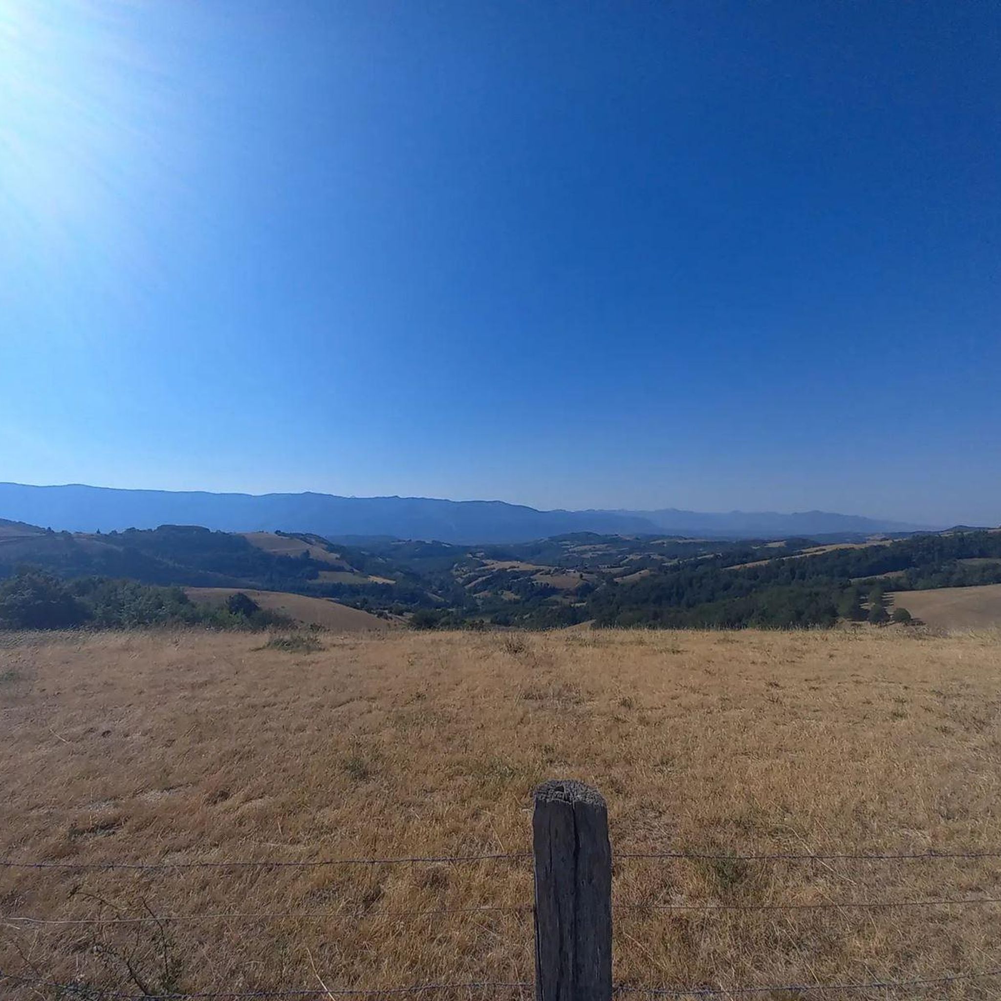
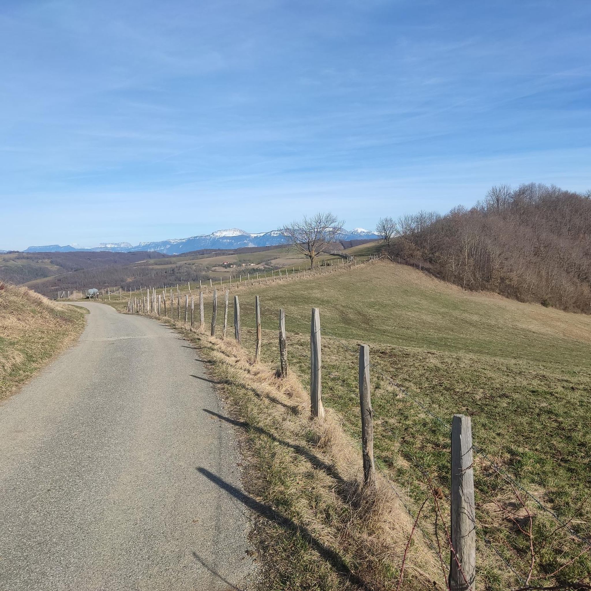
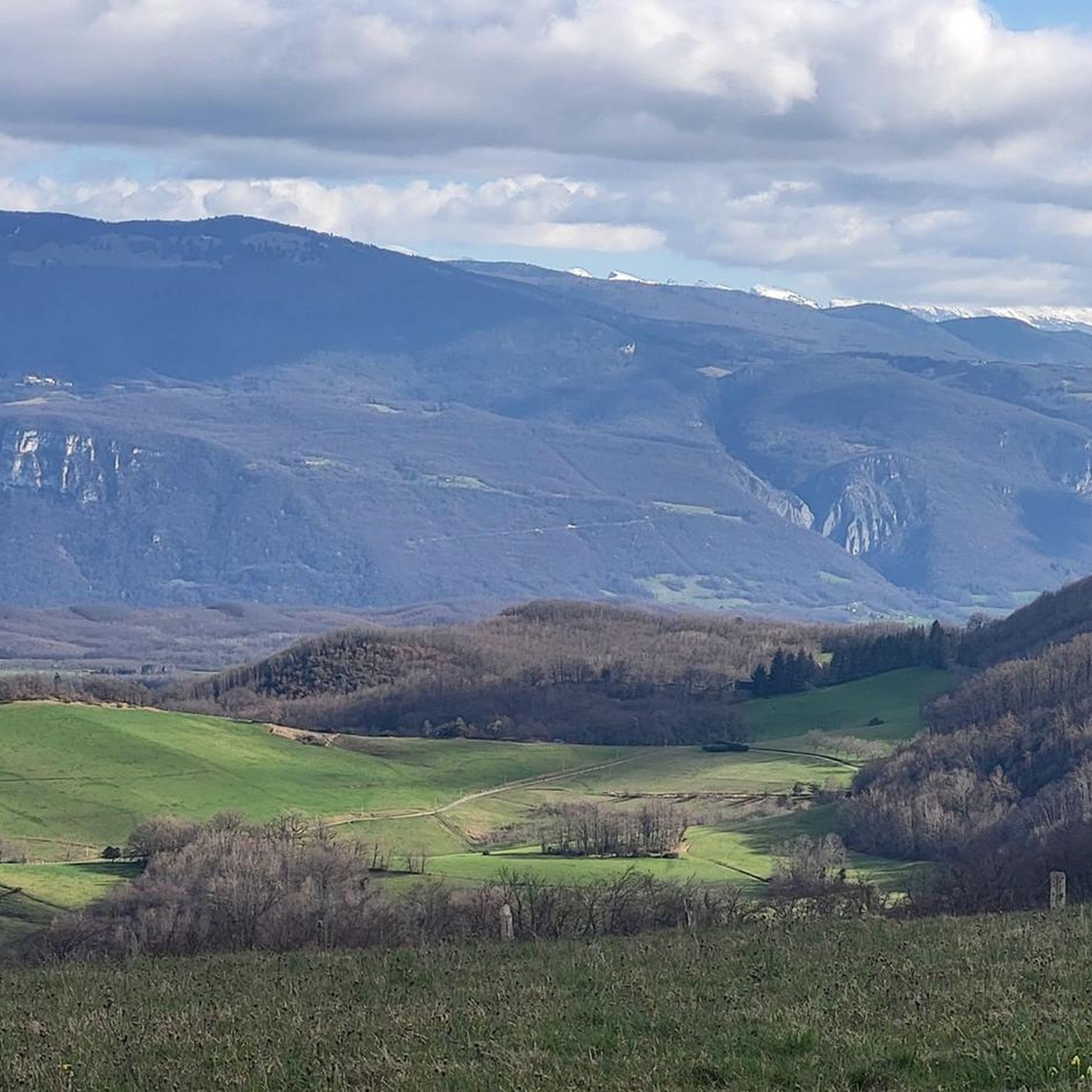
Touring cycling routes around Saint-Michel-De-Saint-Geoirs are set within the Isère department, offering a varied landscape of rolling hills, green meadows, and cultivated lands. The region, situated at approximately 600 meters altitude, features woodlands and bocage, providing diverse terrain for cyclists. Riders can experience views of prominent mountain ranges such as Pilat, Chartreuse, Belledonne, and Vercors.
Best touring cycling routes around Saint-Michel-De-Saint-Geoirs
- The most popular touring cycling route is Col de Châtain (684 m) – Parménie Pass loop from Brézins, a 24.5 miles (39.4 km) trail that takes 2 hours 41 minutes to complete. This difficult route features significant elevation gain and panoramic views.
- Another top favourite among local touring cyclists is Toutes Aures Pass – Roybon Church loop from Saint-Étienne-de-Saint-Geoirs, a difficult 30.3 miles (48.8 km) path. This route offers a challenging ride through varied rural landscapes.
- Local touring cyclists also love the Toutes Aures Pass – Statue of Liberty loop from Chasselay, a 17.8 miles (28.7 km) trail leading through the undulating terrain of the Chambaran Plateau, often completed in about 1 hour 58 minutes.
- Touring cycling around Saint-Michel-De-Saint-Geoirs is defined by rolling hills, green meadows, and woodlands. The network offers options for easy, moderate, and difficult routes, catering to various ability levels.
- The routes in Saint-Michel-De-Saint-Geoirs are highly rated by the komoot community with an average score of 4.3 stars from over 60 reviews. More than 1100 touring cyclists have used komoot to explore Saint-Michel-De-Saint-Geoirs's varied terrain.
Last updated: May 20, 2026
5.0
(1)
22
riders
39.4km
02:41
640m
640m
Hard bike ride. Very good fitness required. Mostly paved surfaces. Suitable for all skill levels.
4.0
(1)
14
riders
48.5km
03:20
850m
850m
Hard bike ride. Very good fitness required. Mostly paved surfaces. Suitable for all skill levels.

Sign up for free
4.0
(1)
10
riders
28.7km
01:58
510m
510m
Hard bike ride. Very good fitness required. Mostly paved surfaces. Suitable for all skill levels.
7
riders
Moderate bike ride. Good fitness required. Mostly paved surfaces. Suitable for all skill levels.
7
riders
35.5km
02:27
610m
610m
Hard bike ride. Very good fitness required. Mostly paved surfaces. Suitable for all skill levels.
Get access to more routes and recommendations from other explorers.
Sign up for free
Already have an account?
Our route recommendations are based on thousands of hikes, rides, and runs completed by other people on komoot.
Start today with a free account
Your next adventure awaits.
Login or Signup


Tips from the Community

Nestled at the foot of the Chambaran Mountains, between 470 and 724 meters above sea level, the village of Chasselay overlooks the Isère Valley and boasts an exceptional view of the Vercors. http://www.chasselay38.fr/445-carte-et-points-d-interet.htm
0
0

The view from the pass is worth the effort!
0
0
Departure from the Col des Aures at 13% but on a short portion. Then aerial road with a very nice view, very little traffic and with a good coating.
0
0

The Col de Chatain from Tullins is 7.23 km long with a total drop of 469 m. The average gradient is 6.49% with maximum gradients of 12%.
2
0

There is a small cafe, a free water point and a small picnic area in the sun.
0
0
A fairly steady climb from Vinay, the start has easier grades of 2-4% with the second and final part increasing to 5-6%. The views from the top are definitely worth the effort!
2
0

Located between the Chambarans and the Bièvre plain, it gives a view of "all horizons" at an altitude of 628m.
0
0

Small picnic area and water point at the pass
0
0
Frequently Asked Questions
How many touring cycling routes are available around Saint-Michel-De-Saint-Geoirs?
There are over 75 touring cycling routes around Saint-Michel-De-Saint-Geoirs, catering to various skill levels. You'll find a good mix of easy, moderate, and difficult options to explore the region's diverse landscapes.
What kind of terrain can I expect on touring cycling routes in Saint-Michel-De-Saint-Geoirs?
The region offers a varied landscape, characterized by rolling hills, green meadows, and cultivated lands. You'll also cycle through lush woodlands and bocage, providing shaded routes and a sense of immersion in nature. The undulating terrain ensures a constantly changing and engaging cycling experience.
Are there any family-friendly touring cycling routes in the area?
Yes, Saint-Michel-De-Saint-Geoirs offers 5 easy touring cycling routes that are generally suitable for families. These routes typically feature less elevation gain and shorter distances, allowing for a more relaxed ride through the scenic countryside.
What are some notable landmarks or points of interest I can see along the cycling routes?
Many routes will take you past significant mountain passes such as Toutes Aures Pass, Lachard Pass (695 m), and Col de Châtain (684 m). You might also encounter historical sites like Château de Bressieux or the unique Sculpture Trail of the Four Winds.
Are there any circular touring cycling routes available?
Yes, many of the touring cycling routes around Saint-Michel-De-Saint-Geoirs are designed as loops. For example, the moderate Toutes Aures Pass – Lachard Pass (695 m) loop from Saint-Pierre-de-Bressieux offers a scenic circular ride.
What views can I expect while cycling in this region?
Cyclists are rewarded with panoramic views of prominent mountain ranges such as Pilat, Chartreuse, Belledonne, and Vercors. The undulating landscape, a mix of the Bièvre Plain and the Chambaran Plateau, ensures constantly changing and engaging vistas.
What do other touring cyclists say about the routes in Saint-Michel-De-Saint-Geoirs?
The routes in Saint-Michel-De-Saint-Geoirs are highly rated by the komoot community, with an average score of 4.3 stars from over 60 reviews. Reviewers often praise the varied terrain, the tranquil rural landscapes, and the rewarding panoramic views.
Are there any challenging routes for experienced touring cyclists?
Absolutely. The region offers 32 difficult touring cycling routes. A challenging option is the Toutes Aures Pass – Roybon Church loop from Saint-Étienne-de-Saint-Geoirs, which covers 48.8 km with significant elevation gain through varied rural landscapes.
Can I find routes that pass through charming villages or historical sites?
Yes, the surrounding area boasts several charming villages and historical sites that make for excellent cycling destinations or stop-over points. While specific routes are not listed here, the region's cultural heritage, including ancient walnut drying sheds and old pisé houses, adds historical charm to the rural scenery you'll encounter.
What is a good moderate touring cycling route in the area?
A good moderate option is the Toutes Aures Pass – Lachard Pass (695 m) loop from Saint-Pierre-de-Bressieux. This route covers approximately 25.8 km with a moderate elevation gain, offering a balanced challenge and scenic views.
Is it possible to find routes that offer a mix of woodlands and open fields?
Yes, the landscape around Saint-Michel-De-Saint-Geoirs is a rich tapestry of lush woodlands and bocage, interspersed with expansive green meadows and cultivated lands. Many routes will naturally take you through this varied environment, providing both shaded sections and open vistas.
Most popular routes around Saint-Michel-De-Saint-Geoirs
Most popular attractions around Saint-Michel-De-Saint-Geoirs

Get inspired with the komoot mobile app


Explore more
Browse the best Cycling routes in other regions.
