The best running trails around Saint-Michel-De-Saint-Geoirs
4.3
(47)
1,434
runners
127
runs
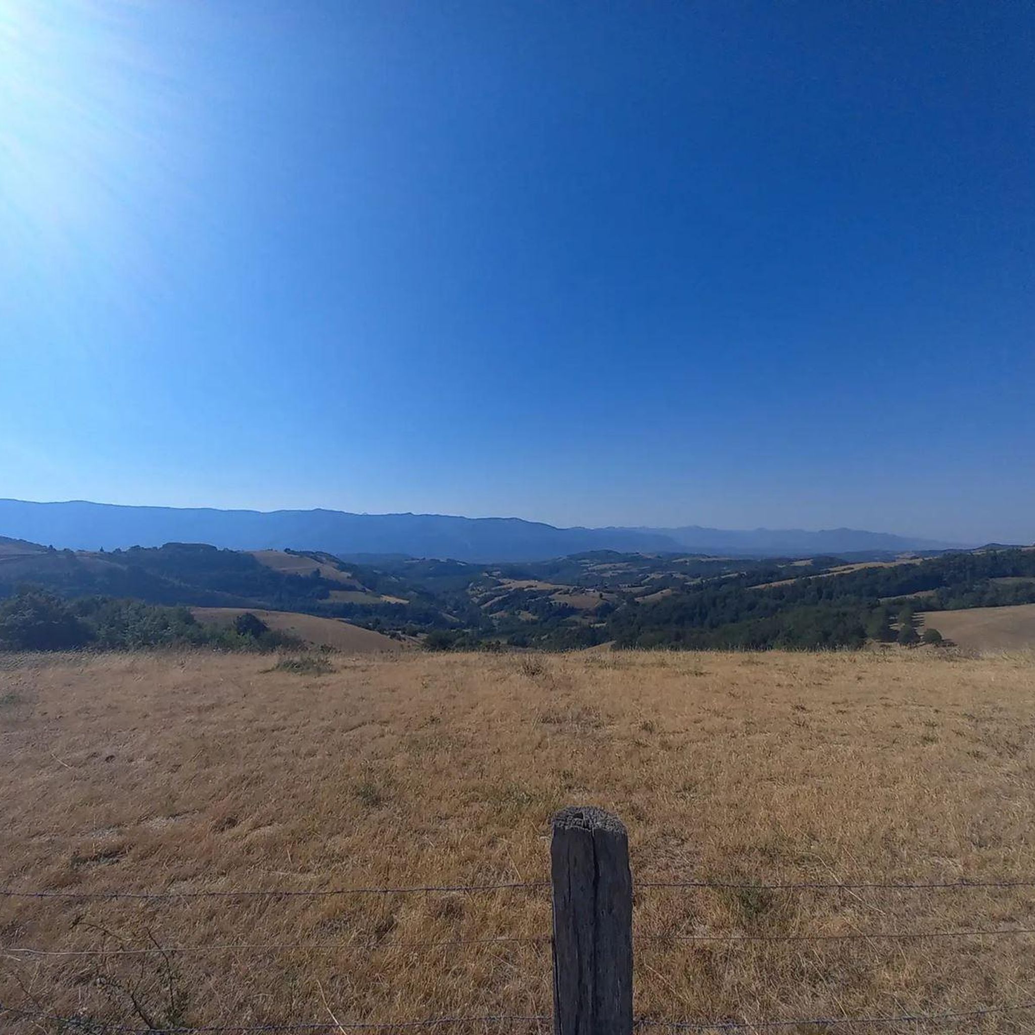
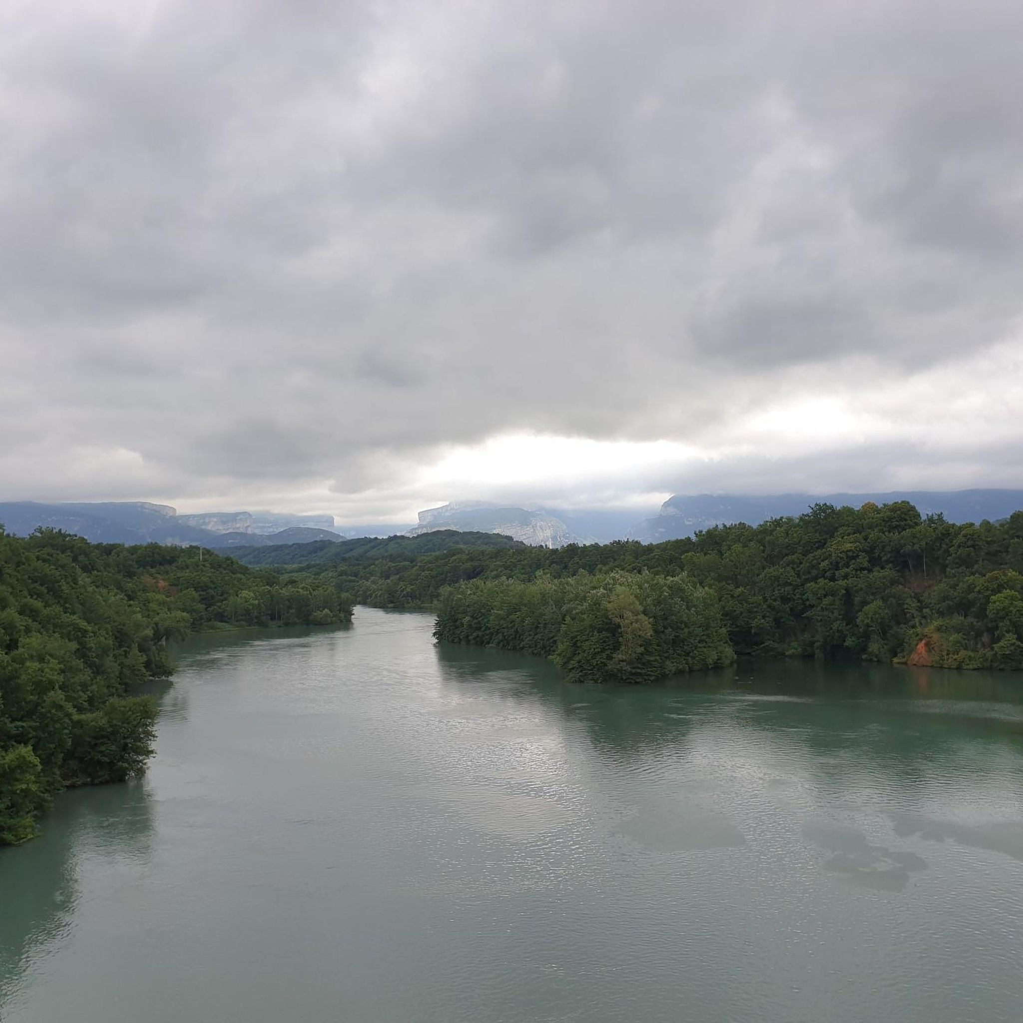
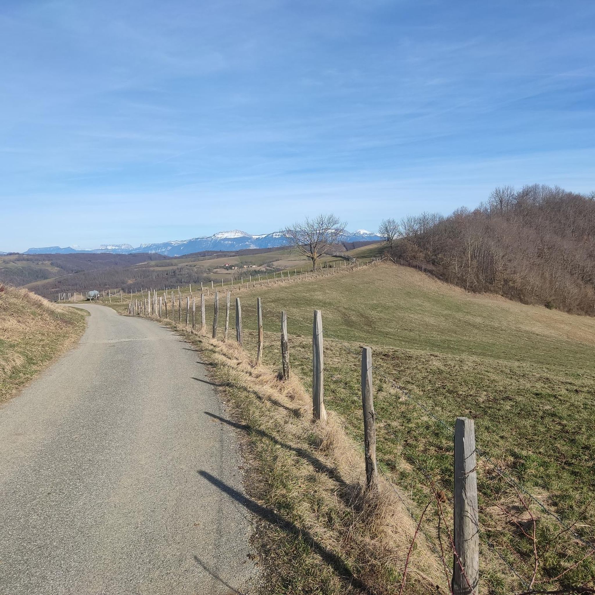
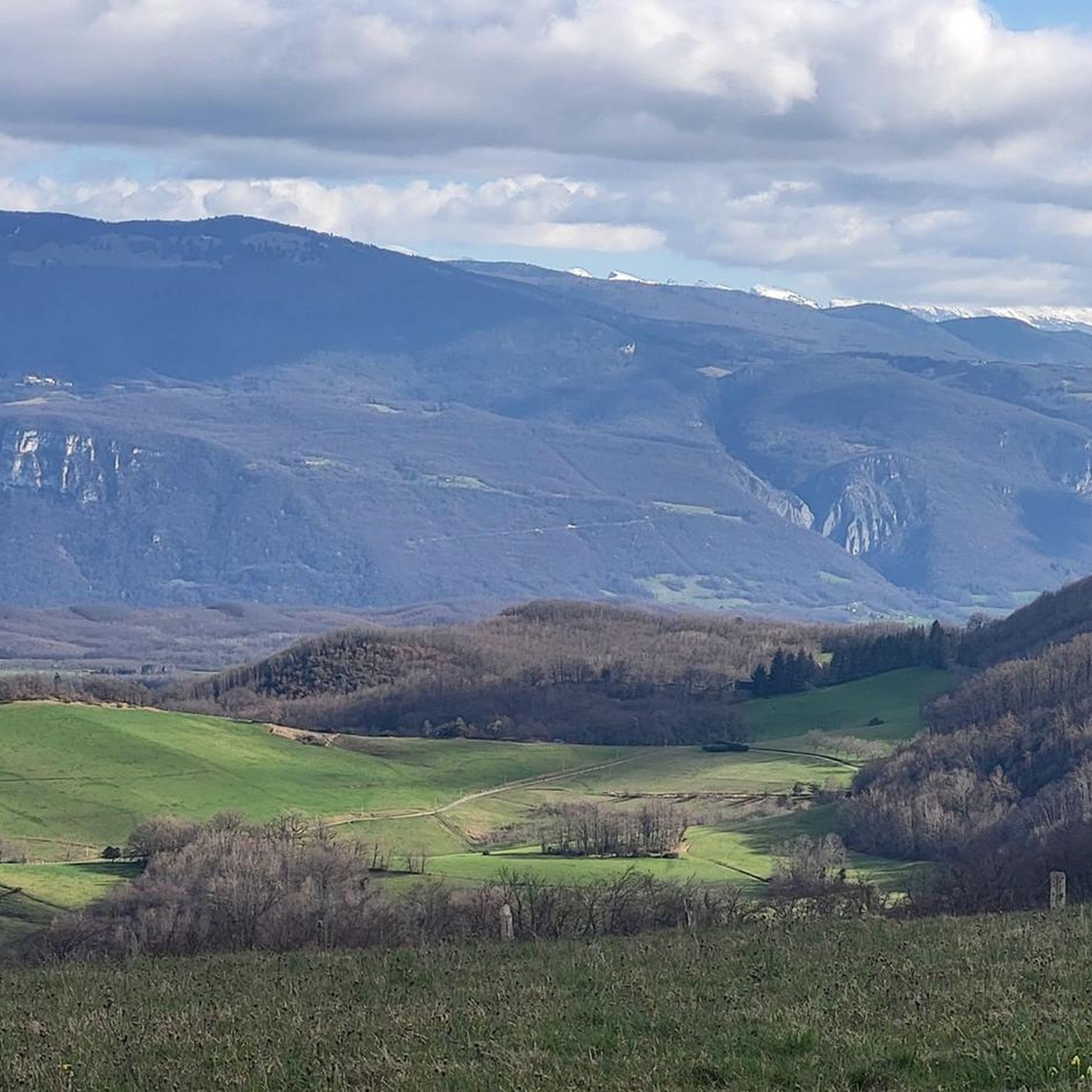
Jogging routes around Saint-Michel-De-Saint-Geoirs traverse an undulating landscape in the heart of the Bas-Dauphiné, offering diverse terrain for runners. The region features lush woodlands, rolling hills, and views of the Chartreuse and Pilat massifs. Peaceful streams like the Ruisseau des Blaches and Ruisseau de Combes Moirans add to the natural scenery along many paths. This area provides a mix of gentle slopes and more challenging ascents for varied running experiences.
Best jogging routes around Saint-Michel-De-Saint-Geoirs
- The most popular jogging route is Running loop from Brion, a 10.9 miles (17.5 km) trail that takes 2 hours 5 minutes to complete. This route offers varied terrain through the region's characteristic woodlands and rolling hills.
- Another top favourite among local runners is Running loop from Saint-Geoirs, a difficult 6.3 miles (10.2 km) path. This trail winds through the rural tapestry of the Bas-Dauphiné, providing scenic views and challenging ascents.
- Local runners also love the Running loop from Plan, a 4.3 miles (7.0 km) trail leading through fields and forests, often completed in about 57 minutes.
- Jogging around Saint-Michel-De-Saint-Geoirs is defined by undulating landscapes, lush woodlands, and rolling hills, with routes offering options for easy, moderate, and difficult ability levels.
- The routes in Saint-Michel-De-Saint-Geoirs are highly rated by the komoot community with an average score of 4.3 stars from over 40 reviews. More than 1400 runners have used komoot to explore Saint-Michel-De-Saint-Geoirs's varied terrain.
Last updated: May 20, 2026
9
runners
17.5km
02:05
270m
270m
Hard run. Very good fitness required. Mostly paved surfaces. Suitable for all skill levels.
9
runners
10.2km
01:16
310m
300m
Hard run. Very good fitness required. Mostly paved surfaces. Suitable for all skill levels.

Sign up for free
7
runners
6.97km
00:57
290m
290m
Moderate run. Good fitness required. Mostly accessible paths. Some sure footedness required.
4
runners
8.55km
01:05
330m
330m
Hard run. Very good fitness required. Mostly paved surfaces. Suitable for all skill levels.
6
runners
15.6km
02:07
700m
700m
Hard run. Very good fitness required. Mostly accessible paths. Some sure footedness required.
Get access to more routes and recommendations from other explorers.
Sign up for free
Already have an account?
Our route recommendations are based on thousands of hikes, rides, and runs completed by other people on komoot.
Start today with a free account
Your next adventure awaits.
Login or Signup

Tips from the Community

The Col de Chatain from Tullins is 7.23 km long with a total drop of 469 m. The average gradient is 6.49% with maximum gradients of 12%.
2
0
Frequently Asked Questions
How many running routes are available around Saint-Michel-De-Saint-Geoirs?
There are over 130 running routes around Saint-Michel-De-Saint-Geoirs. These routes offer a variety of experiences, from easy paths to more challenging ascents through the undulating landscape of the Bas-Dauphiné.
Are there any easy jogging routes suitable for beginners or a relaxed run?
Yes, Saint-Michel-De-Saint-Geoirs offers 8 easy jogging routes. While specific names aren't highlighted as 'easy' in the intro, many paths through fields and forests provide a gentler experience. You can filter for easy routes on komoot to find the best fit for a relaxed run.
What kind of terrain can I expect on the running trails in this region?
The running trails around Saint-Michel-De-Saint-Geoirs feature an undulating landscape with diverse terrain. You'll encounter lush woodlands, rolling hills, and sometimes more challenging ascents. Peaceful streams like the Ruisseau des Blaches and Ruisseau de Combes Moirans often accompany the paths, adding to the natural scenery.
Are there any circular running routes in Saint-Michel-De-Saint-Geoirs?
Yes, many of the running routes in the area are circular. For example, the popular Running loop from Brion and the Running loop from Plan are both circular, allowing you to start and finish at the same point.
What are some interesting sights or landmarks I might see while jogging?
While jogging, you can enjoy views of the majestic Chartreuse and Pilat massifs. For a unique experience, consider routes that pass by the Sculpture Trail of the Four Winds, which features intriguing sculptures. The Toutes Aures Pass is another notable point of interest, offering a picnic area and water point.
Are there any running routes that offer panoramic viewpoints?
Yes, the region's undulating landscape and rolling hills often provide inspiring panoramas. Routes that ascend to higher points, such as those near the Toutes Aures Pass or the Col de Châtain (684 m) loop from La Forteresse, will offer excellent views of the surrounding countryside and distant massifs.
What do other runners say about the trails in Saint-Michel-De-Saint-Geoirs?
The running routes in Saint-Michel-De-Saint-Geoirs are highly rated by the komoot community, with an average score of 4.3 stars from over 40 reviews. Runners often praise the varied terrain, the peaceful natural scenery, and the immersive experience in the lush woodlands and rolling hills.
Are there any challenging running routes for experienced runners?
Absolutely. Saint-Michel-De-Saint-Geoirs offers 25 difficult running routes. Trails like the Running loop from Saint-Geoirs and the Montolivet loop from Saint-Michel-de-Saint-Geoirs provide challenging ascents and varied terrain, perfect for experienced runners seeking a demanding workout.
Is there parking available near the trailheads for these running routes?
While specific parking locations for every trailhead are not detailed, the fan-out queries indicate that users frequently search for 'parking Saint-Michel-De-Saint-Geoirs hiking trails' and 'parking trailheads Saint-Michel-De-Saint-Geoirs'. This suggests that parking options are generally available, especially in or near the villages where many loops begin.
Can I reach any of the running routes using public transport?
Public transport options directly to specific trailheads might be limited, as indicated by user searches for 'public transport Saint-Michel-De-Saint-Geoirs trails'. However, the village of Saint-Michel-De-Saint-Geoirs itself is a starting point for several routes, and nearby towns like Saint-Geoirs also offer numerous running trails, which may have better public transport access.
Are the running trails suitable for families or those with children?
Many of the trails, particularly the 8 easy routes, could be suitable for families looking for a gentle walk or jog. The region's natural beauty, with streams and woodlands, offers an enjoyable outdoor experience for all ages. You can look for shorter, less strenuous routes on komoot to find family-friendly options.
What is the best time of year to go jogging in Saint-Michel-De-Saint-Geoirs?
The region is beautiful throughout the year. Spring and autumn offer pleasant temperatures and vibrant scenery with lush greenery or colorful foliage. Summer is also popular, though it can be warmer. Winter jogging is possible, but conditions may vary, so checking local weather is always recommended.
Most popular routes around Saint-Michel-De-Saint-Geoirs
Most popular attractions around Saint-Michel-De-Saint-Geoirs

Get inspired with the komoot mobile app


Explore more
Browse the best Running Trails & Routes in other regions.
