The best gravel rides around Alpujarra De La Sierra
4.0
(1)
27
riders
6
rides
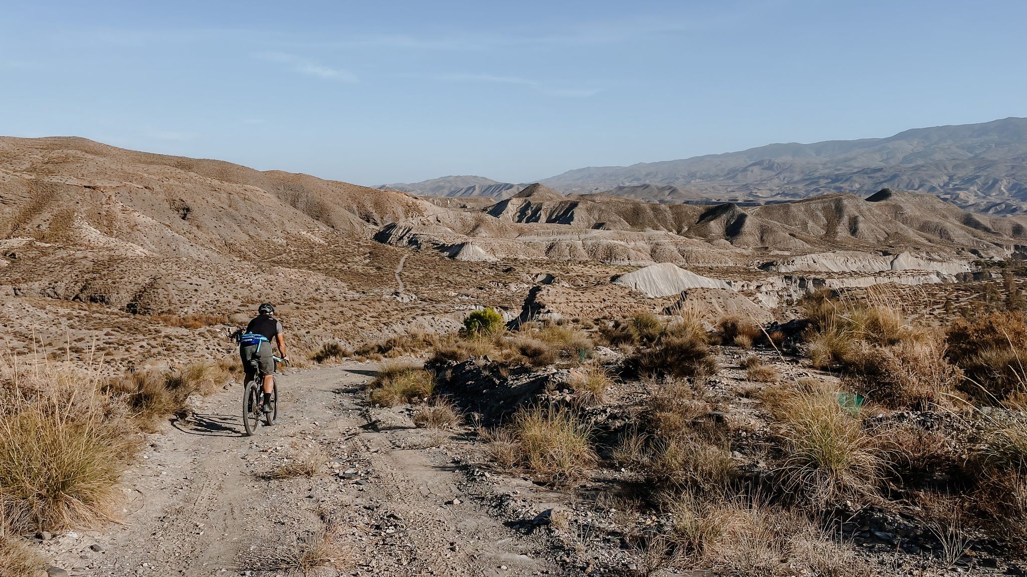
Gravel biking around Alpujarra De La Sierra offers diverse landscapes within the Sierra Nevada National Park, characterized by dramatic mountain terrain, deep ravines, and high-altitude routes. The region features picturesque whitewashed villages, ancient terraced fields with almond and olive groves, and numerous rivers and streams. Cyclists will encounter a mix of challenging gravel roads, quiet tarmac, and dirt paths, providing varied terrain for all skill levels.
Best gravel bike trails around Alpujarra De La Sierra
- The most popular gravel bike…
Last updated: November 4, 2026
4.0
(1)
5
riders
68.3km
06:08
1,690m
1,700m
Hard gravel ride. Very good fitness required. Mostly paved surfaces.
4.5
(2)
10
riders
41.0km
04:01
1,140m
1,150m
Hard gravel ride. Very good fitness required. Mostly paved surfaces.

3
riders
35.4km
03:27
890m
890m
Hard gravel ride. Very good fitness required. Mostly paved surfaces.
5
riders
78.8km
06:42
2,070m
2,070m
Hard gravel ride. Very good fitness required. Mostly paved surfaces.
2
riders
14.9km
01:26
400m
400m
Moderate gravel ride. Good fitness required. Mostly paved surfaces.
Our route recommendations are based on thousands of hikes, rides, and runs completed by other people on komoot.
Start today with a free account
Your next adventure awaits.
Popular around Alpujarra De La Sierra
Other adventures around Alpujarra De La Sierra

Tips from the Community

The flow of the Chico River increases sharply with snowmelt or heavy rains, which caused sediments and stones to be washed away and created many problems. To remedy this, 24 dikes were built, among which the 29-meter Dique 24 stands out.
0
0

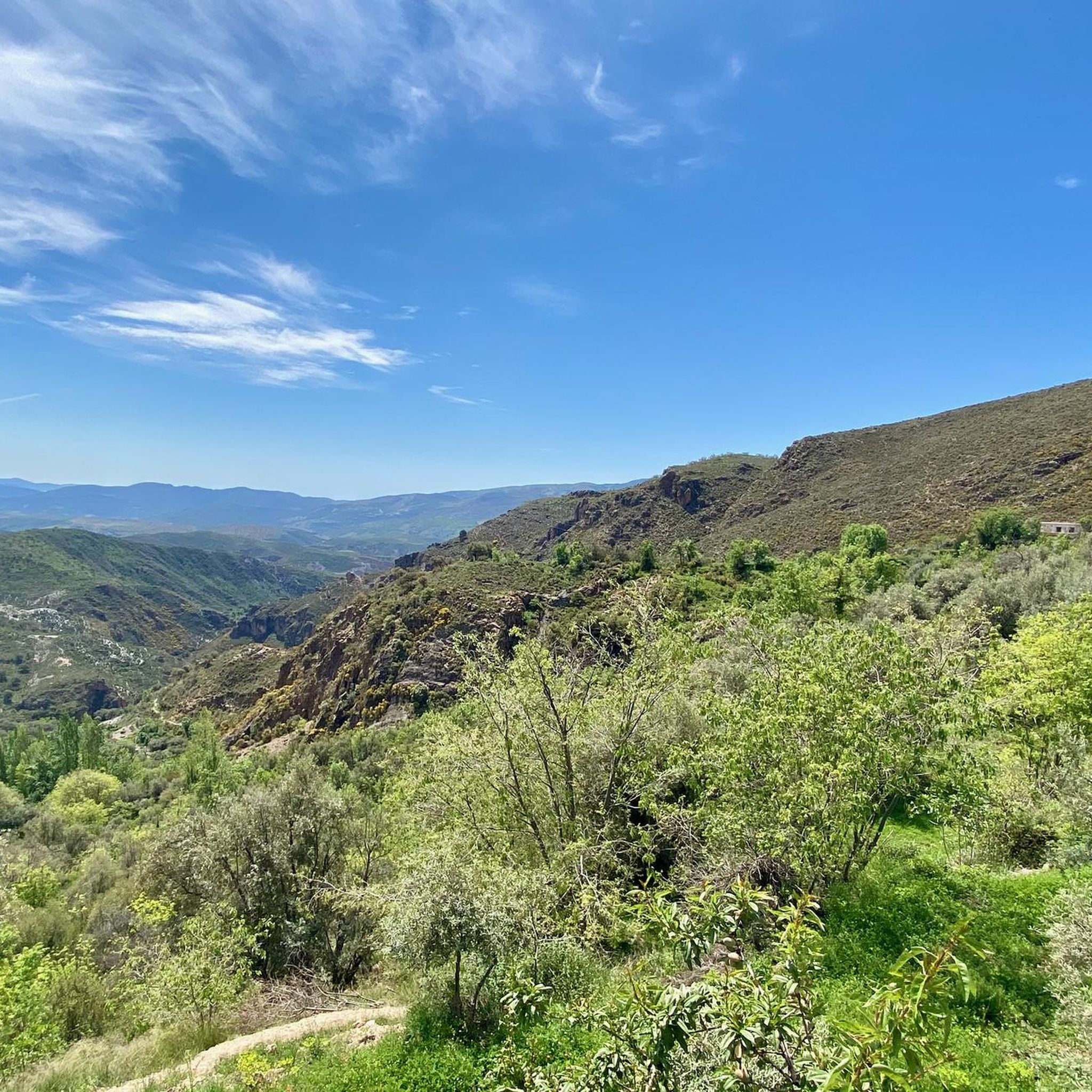
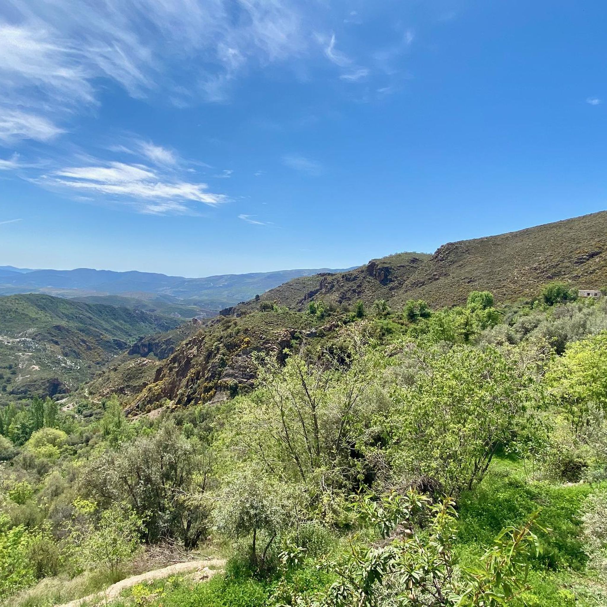
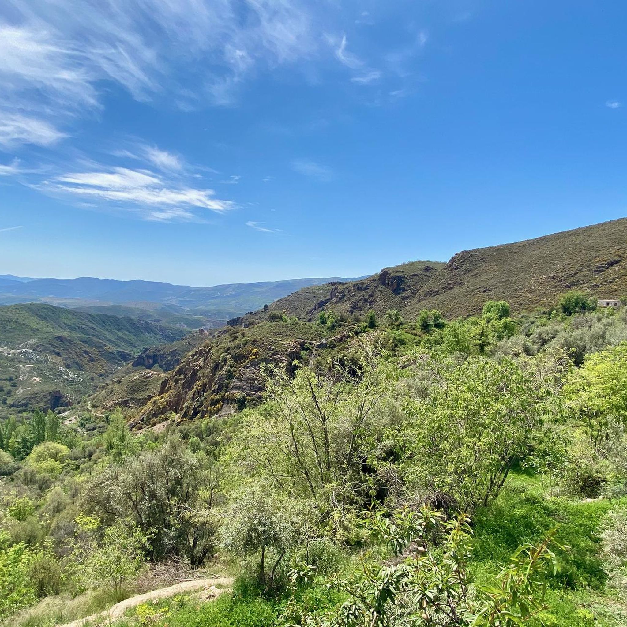
From the road near Darrícal, you can enjoy sweeping views of the Ugíjar River valley, one of the main tributaries of the Grande de Adra. The landscape combines terraced crops, hillsides planted with almond and olive trees, and the Sierra Nevada mountains in the background. It's a very photogenic stretch, ideal for a stop and contemplate the vastness of the valley. If you're on foot, keep in mind that the road is narrow and winding, so it's best to walk carefully and stay on the hard shoulders.
1
0
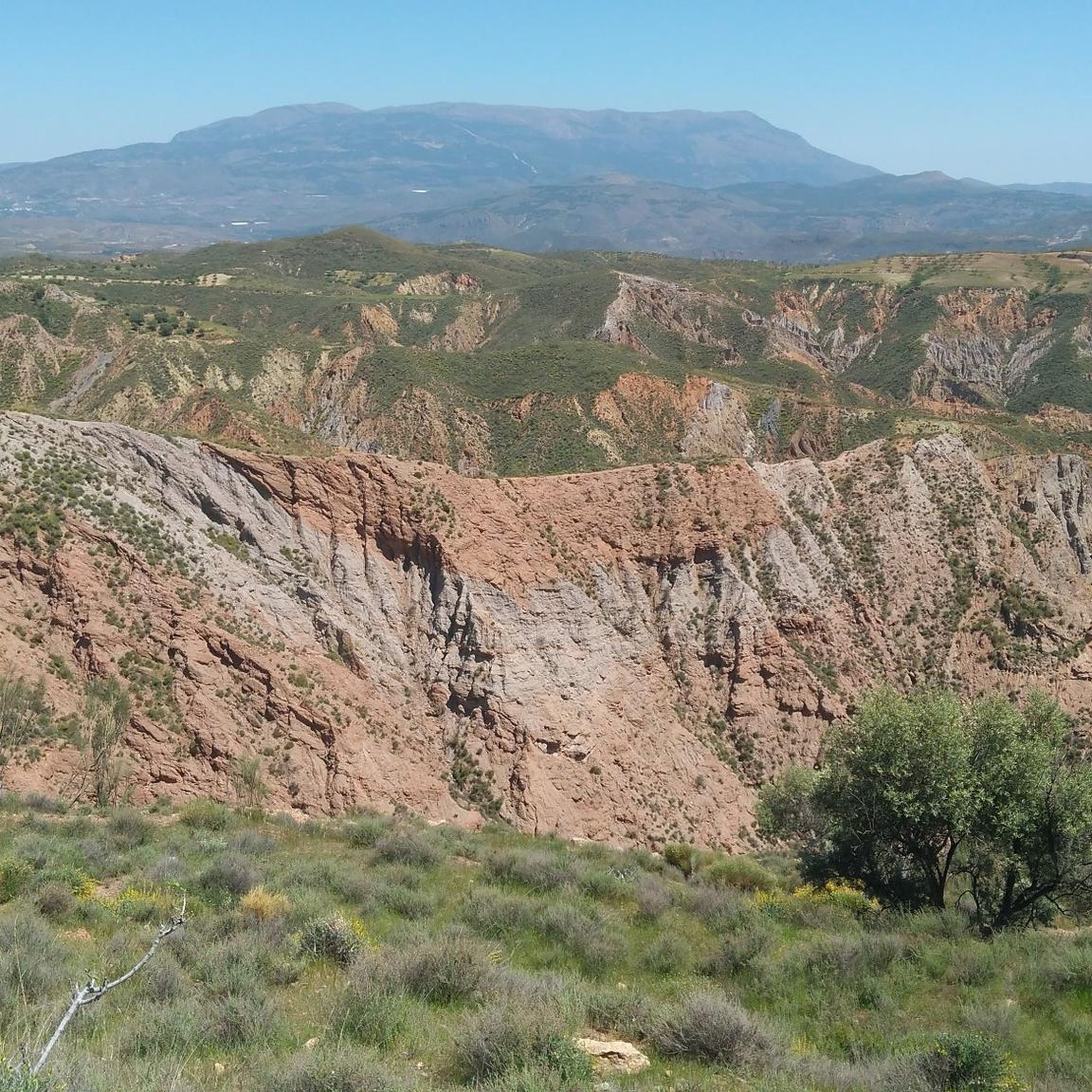
The Rambla del Repenil is a natural area located in the Alpujarra region of Granada, near Ugíjar. It remains dry for most of the year, but it collects torrential rainwater, forming a rugged landscape with eroded walls and abundant riparian vegetation.
1
0

The view of the Sierra Nevada Mountains is breathtaking, with their soaring peaks dominating the horizon. On clear days, the contrast between their slopes and the sky creates a majestic and powerful landscape.
1
0

a beautiful are to ride a bike
0
0

Yátor is a town and hamlet in Spain, belonging to the municipality of Cádiar, in the province of Granada, in the autonomous community of Andalusia. It is located in the central-eastern part of the Alpujarra Granadina region. Near this town are the towns of Narila, Golco, Mecina Bombarón, Alcútar, Bérchules, and Jorairátar.
1
0
Yator is a small village where you feel like the clocks go slower 😀
1
0
Frequently Asked Questions
What kind of terrain can I expect on gravel bike trails in Alpujarra De La Sierra?
The region offers a diverse mix of terrain, from extensive wilderness gravel roads and deep forest paths to quiet tarmac sections and dirt tracks. You'll encounter significant elevation changes, ranging from high-altitude mountain passes to valleys and routes descending towards more arid landscapes. The Las Chorreras Waterfall – Viewpoint Near Cáñar loop from Cádiar, for example, features substantial elevation gain across varied surfaces.
Are there any easy or moderate gravel bike trails in Alpujarra De La Sierra?
While many routes are challenging, there are options for moderate skill levels. The Repenil Dry Riverbed loop from Cádiar is a moderate 9.3-mile (14.9 km) trail that offers a less strenuous experience compared to some of the more difficult climbs in the region.
What are some of the longer and more challenging gravel bike routes available?
For experienced riders seeking a challenge, the Las Chorreras Waterfall – Viewpoint Near Cáñar loop from Cádiar is a difficult 44.6-mile (71.8 km) route with nearly 2,000 meters of elevation gain. Another demanding option is the Bérchules – View of Narila and Cádiar loop from Juviles, a difficult 30.1-mile (48.5 km) path offering expansive mountain views.
What natural features or landmarks can I see along the gravel routes?
The trails often pass through the stunning Sierra Nevada National Park, featuring rugged mountains, deep ravines, and sweet chestnut woodlands. You can also discover unique water features like the red-hued El Chorrerón waterfall near Portugos. Many routes offer access to significant mountain passes and peaks, such as La Ragua Pass, which is a notable highlight in the area.
Are there any viewpoints along the gravel bike trails in Alpujarra De La Sierra?
Yes, many routes are designed to showcase the region's panoramic beauty. The Las Chorreras Waterfall – Viewpoint Near Cáñar loop from Cádiar includes notable viewpoints. Additionally, the Bérchules – View of Narila and Cádiar loop from Juviles provides expansive views of surrounding villages and varied mountain scenery.
What is the best time of year for gravel biking in Alpujarra De La Sierra?
The diverse elevation means conditions vary. Spring and autumn generally offer the most pleasant temperatures for riding, avoiding the intense summer heat at lower altitudes and the winter snows at higher elevations. However, the region's varied topography allows for riding in different areas depending on the season.
Are there any circular gravel bike routes in the area?
Yes, many of the gravel bike trails in Alpujarra De La Sierra are designed as loops, allowing you to start and finish in the same location. Examples include the Las Chorreras Waterfall – Viewpoint Near Cáñar loop from Cádiar and the Repenil Dry Riverbed loop from Cádiar.
Can I find places to eat or stay along the gravel bike routes?
The Alpujarra region is famous for its picturesque 'white villages' such as Pampaneira, Bubión, Capileira, and Trevélez. These villages are often located along or near gravel routes and offer opportunities for refreshments, local cuisine, and accommodation. You can enjoy local produce like almonds, olives, and the famous Serrano ham.
What do other gravel bikers enjoy most about Alpujarra De La Sierra?
The area is highly rated by the komoot community, with an average score of 4.0 stars. Reviewers often praise the dramatic mountain terrain, the charm of the whitewashed villages, and the extensive network of quiet gravel roads that allow for immersive rides through diverse landscapes.
Are there any routes that pass through the famous white villages?
Yes, many routes weave through or near the iconic white villages. For instance, the Cádiar Village Center – View of Narila and Cádiar loop from Cádiar starts and ends in a village, offering a chance to experience the local culture and architecture. These villages serve as excellent points for breaks and cultural immersion.
What is the typical length of gravel bike routes in Alpujarra De La Sierra?
Route lengths vary significantly to suit different preferences and fitness levels. You can find shorter loops like the Repenil Dry Riverbed loop from Cádiar at 9.3 miles (14.9 km), or much longer and more challenging rides such as the Las Chorreras Waterfall – Viewpoint Near Cáñar loop from Cádiar, which spans 44.6 miles (71.8 km).
Most popular routes around Alpujarra De La Sierra
Most popular attractions around Alpujarra De La Sierra

Get inspired with the komoot mobile app


Explore more
Browse the best Gravel rides in other regions.
