The best cycling routes around Alpujarra De La Sierra
4.4
(34)
524
riders
43
rides
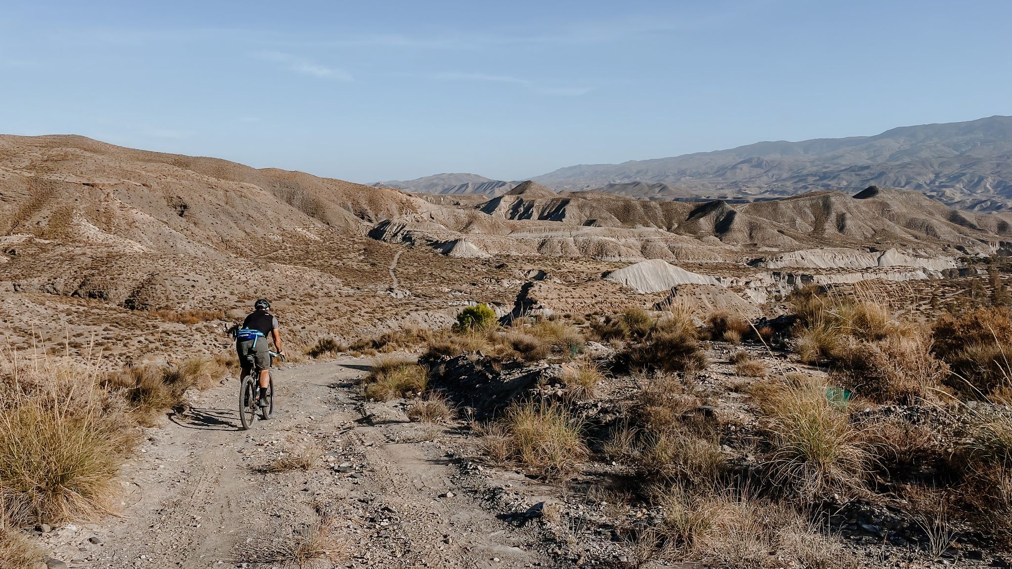
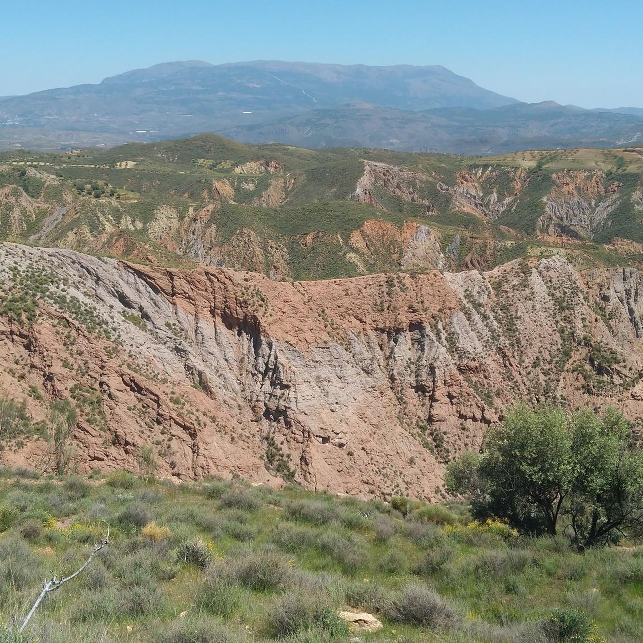
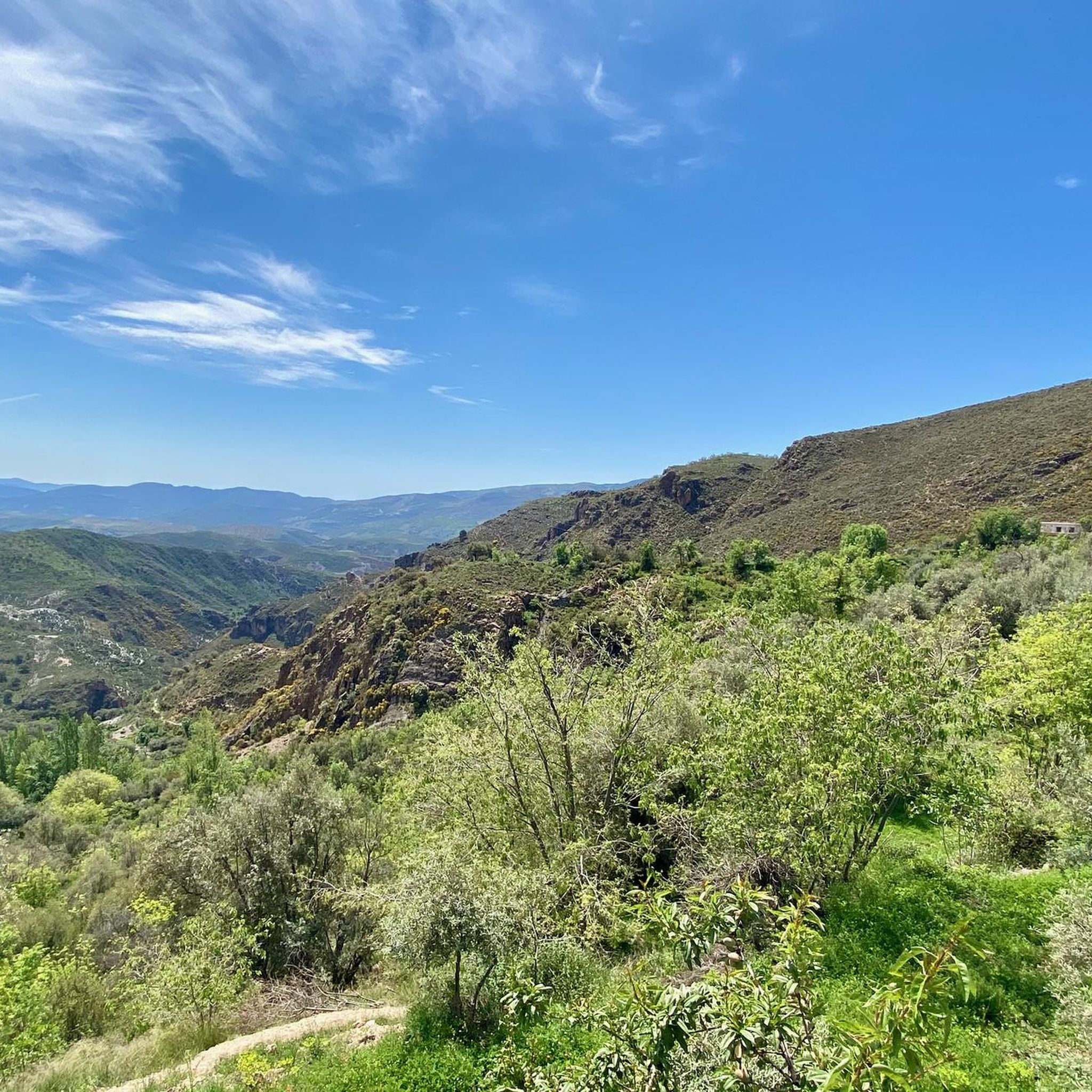
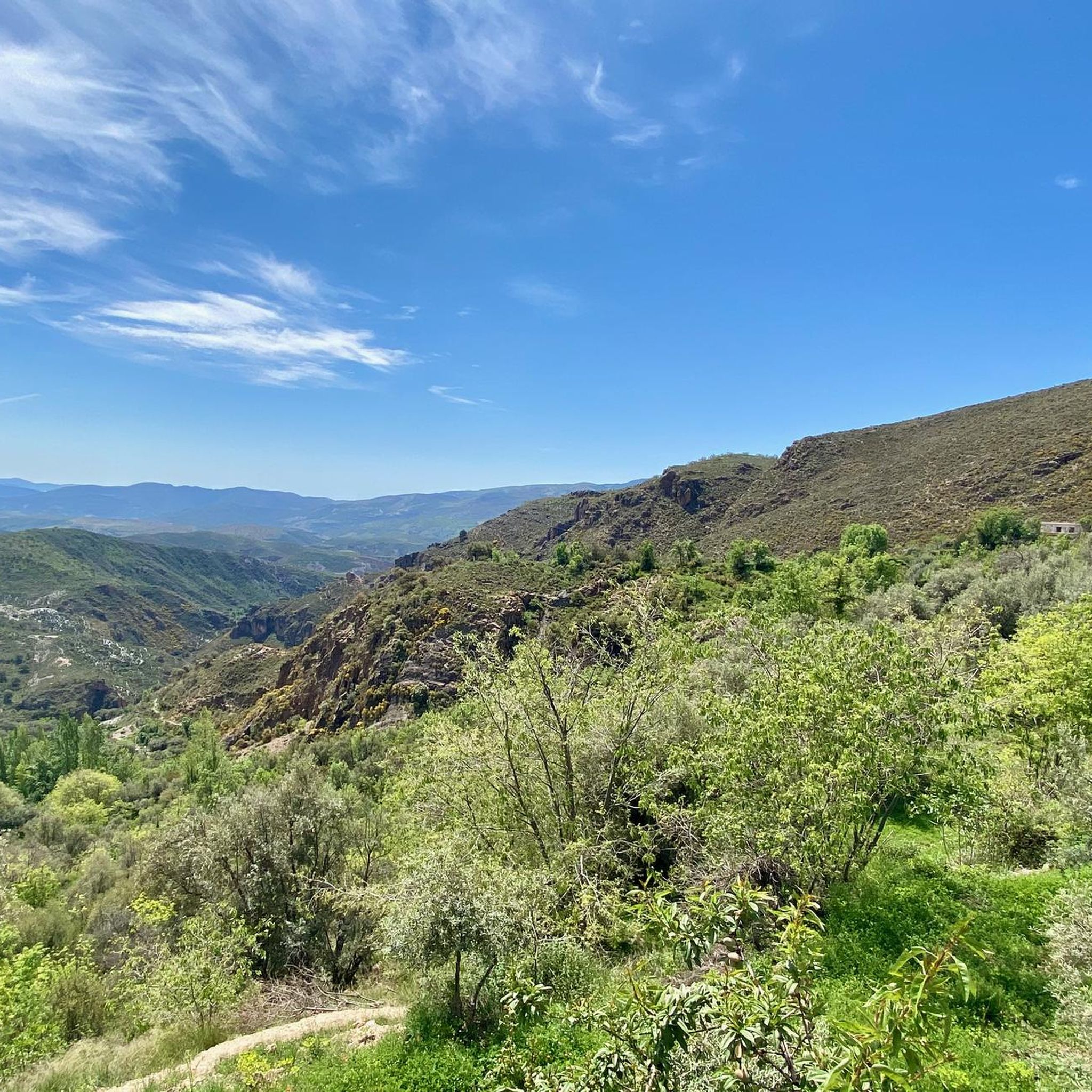
Touring cycling routes around Alpujarra De La Sierra traverse the slopes of the Sierra Nevada mountains, offering varied terrain from high mountain passes to river valleys. The region is characterized by significant altitude changes, with routes ranging from around 700 to over 2,750 meters, featuring a network of gullies and gorges. Cyclists encounter diverse landscapes including terraced farmland, olive groves, and ancient chestnut trees. Natural features like the Río Bombón and the Barranco de las Chorres waterfall add to the…
Last updated: November 4, 2026
2.0
(1)
2
riders
17.4km
01:29
440m
440m
Moderate bike ride. Good fitness required. Mostly paved surfaces.
5.0
(2)
86
riders
97.5km
07:16
2,340m
2,340m
Hard bike ride. Very good fitness required. Mostly paved surfaces.

10
riders
98.6km
07:10
2,220m
2,220m
Hard bike ride. Very good fitness required. Mostly paved surfaces.
5.0
(1)
9
riders
99.3km
07:24
2,290m
2,290m
Hard bike ride. Very good fitness required. Mostly paved surfaces.
11
riders
103km
07:33
2,350m
2,350m
Hard bike ride. Very good fitness required. Mostly paved surfaces.
Get access to more routes and recommendations from other explorers.
Already have an account?
Our route recommendations are based on thousands of hikes, rides, and runs completed by other people on komoot.
Start today with a free account
Your next adventure awaits.
Popular around Alpujarra De La Sierra

Other adventures around Alpujarra De La Sierra

Tips from the Community

Órgiva is a charming Spanish municipality located in the province of Granada, in Andalusia, and is historically considered the capital and administrative center of the western Alpujarra. This town of about 6,000 inhabitants stands at an altitude of 450 meters in the fertile valley of the Guadalfeo River, right at the foot of the Sierra Nevada Natural Park.
0
1

Murals with Scenes and Names of Villages Each mural depicts typical scenes of the Alpujarra villages, with white houses, churches, and landscapes, accompanied by the village's name in large letters. The most prominent is the mural with the word "Órgiva" and an image of its twin-towered church.
9
0
In Órgiva, the tile murals dedicated to the villages of the Alpujarra region are located in the Plaza de la Alpujarra, an emblematic space in the town center. Ceramic Map of the Alpujarra This large tile mural displays a detailed map of the region, including villages such as Lanjarón, Pampaneira, Bubión, Capileira, Trevélez, Cádiar, and Torvizcón, among others. The design includes rivers, mountains, and roads, making it an ideal tool for orientation and route planning.
9
0
The municipality of Órgiva is part of the Sierra Nevada Natural Park and is located on its southern slopes. Known as the capital of the Alpujarra region of Granada, it is an ideal destination for combining culture, nature, and gastronomy.
11
0
In Pampaneira there are several spectacular viewpoints that offer unique views of the Poqueira Gorge, the white villages of the Alpujarra and the peaks of Sierra Nevada.
2
0
What to see in Pampaneira Liberty Square The town's central hub, with bars, craft shops, and the tourist office. Church of the Holy Cross Built in the Mudéjar style in the 16th century on the site of a former mosque. Fountain of Saint Anthony ("La Chumpaneira") Famous for its legend: whoever drinks from it will find a partner. It's located next to the church. Traditional streets Such as Silence Street or Veronica Street, with Berber architecture, covered walkways, and terraced roofs. Chocolate Factory A delightful place to visit and buy handcrafted products.
6
0
Pampaneira, located in the heart of the Alpujarra region of Granada, is one of the most beautiful villages in Spain. Surrounded by the Poqueira Gorge and next to Bubión and Capileira, it offers a unique experience of traditional architecture, nature, crafts, and gastronomy.
6
0

Frequently Asked Questions
How many touring cycling routes are available in Alpujarra De La Sierra?
There are over 45 touring cycling routes in Alpujarra De La Sierra, offering a wide range of experiences for cyclists. These routes are highly rated by the komoot community, with an average score of 4.5 stars.
What kind of terrain can I expect on touring cycling routes in Alpujarra De La Sierra?
The terrain is predominantly mountainous and uneven, with significant altitude changes ranging from 700 to over 2,750 meters. You'll encounter challenging climbs, exhilarating descents, and a network of gullies and gorges. Landscapes vary from terraced farmland and olive groves to ancient chestnut trees and high mountain passes like La Ragua Pass.
Are there any easy touring cycling routes for beginners in Alpujarra De La Sierra?
While many routes are challenging, there are options for varying skill levels. For a moderate circular journey, consider La Alpujarra — circular from Cádiar. This 10.8-mile (17.4 km) route takes approximately 1 hour 29 minutes to complete.
What are some longer or more challenging touring cycling routes in the region?
For experienced cyclists seeking a challenge, the Bérchules – Capileira Village loop from Cádiar is a difficult 58.6-mile (94.2 km) path with significant elevation gain, connecting picturesque white villages. Another demanding option is the Haza del Lino Pass – La Alpujarra loop from Cádiar, covering 84 km with substantial climbing.
What is the best time of year for touring cycling in Alpujarra De La Sierra?
The region offers beautiful cycling conditions for much of the year. Early spring is particularly scenic with almond blossoms on the lower, south-facing slopes of the Sierra de Contraviesa. Given the mountainous terrain, consider avoiding the peak heat of summer for more comfortable rides, especially on routes with significant elevation.
Are there any circular touring cycling routes in Alpujarra De La Sierra?
Yes, many routes are designed as loops. A popular moderate circular route is La Alpujarra — circular from Cádiar. For a more challenging option, the Cherín Bridge – Válor Village loop from Cádiar is a 32.2-mile (51.8 km) trail through mountain terrain.
What natural attractions can I see along the touring cycling routes?
You can discover stunning natural features such as the Río Mecina, which has sculpted dramatic ravines, and the Las Chorreras waterfall. Near Pórtugos, you'll find Fuente Agria, a 'sour fountain' with mineral waters, and the striking red El Chorrerón waterfall. Many routes also offer privileged views of the Sierra Nevada, Sierra de Gádor, Sierra de Lújar, and Contraviesa ranges.
What cultural highlights and villages can I visit while cycling?
The routes often connect charming white villages like Pampaneira, Bubión, Capileira, and Trevélez, known for their unique architecture and traditional lifestyle. You can also explore historical sites like the Roman bridge over the Río Mecina and the Museo Fotográfico de la Alpujarra in Mecina Bombarón.
Are there places to eat or stay along the cycling routes?
The picturesque white villages scattered throughout the region, such as Pampaneira, Bubión, Capileira, and Trevélez, offer opportunities for cafes, restaurants, and accommodation. These villages are often integrated into the cycling routes, providing convenient stops for refreshments and rest.
What are some notable viewpoints or mountain passes for cyclists?
Cyclists can tackle iconic mountain passes like La Ragua Pass, one of the few asphalt passes exceeding 2,000 meters. Haza del Lino Pass offers epic panoramic views of mainland Spain's highest mountains (Mulhacén and Pico Veleta) on one side and the Mediterranean Sea on the other.
Is public transport available to access touring cycling routes in Alpujarra De La Sierra?
While specific public transport options directly to trailheads can vary, regional bus services connect many of the villages in Alpujarra de la Sierra. It's advisable to check local bus schedules and policies regarding bicycle transport in advance if you plan to use public transport to reach your starting point.
Most popular routes around Alpujarra De La Sierra
Most popular attractions around Alpujarra De La Sierra

Get inspired with the komoot mobile app


Explore more
Browse the best Cycling routes in other regions.
