The best MTB trails around Alpujarra De La Sierra
5.0
(15)
229
riders
29
rides
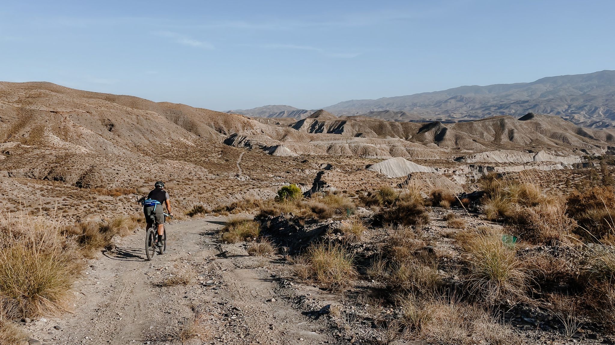
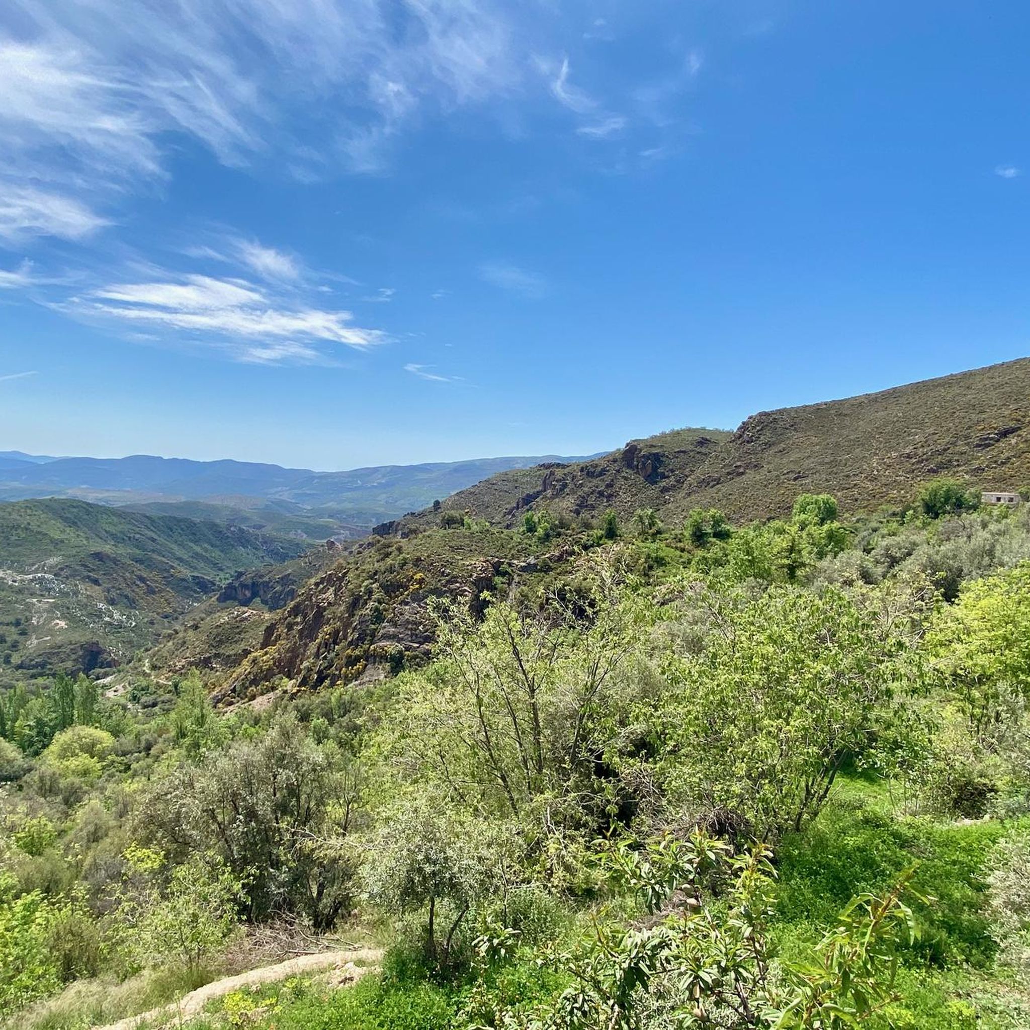
Mountain biking around Alpujarra De La Sierra offers a diverse landscape within the Sierra Nevada National Park, characterized by rugged terrain and varied elevations. The region features dramatic valleys, steep hills, and winding paths, providing both challenging climbs and rewarding descents. Ancient waterways and terraced farmland are also prominent features, reflecting historical agricultural practices. This environment creates a comprehensive network of trails for mountain bikers.
Best mountain bike trails around Alpujarra De La Sierra
- The most popular mountain bike trail is Las Chorreras – circular desde Mecina Bombarón — Parque Nacional de Sierra Nevada, a 23.7 miles (38.1 km) trail that takes 4 hours 8 minutes to complete. This difficult route offers significant elevation changes within the national park.
- Another top favourite among local mountain bikers is Cádiar loop from Cádiar, a difficult 21.4 miles (34.4 km) path. This route features over 1,000 meters of elevation gain through the local landscape.
- Local mountain bikers also love the Bérchules – Trevélez village loop from Bérchules, a 24.8 miles (39.9 km) trail leading through varied terrain, often completed in about 3 hours 5 minutes.
- Mountain biking around Alpujarra De La Sierra is defined by rugged landscapes, picturesque villages, and diverse natural features. The network offers options for various ability levels, from moderate to difficult trails.
- The routes in Alpujarra De La Sierra are highly rated by the komoot community with an average score of 5.0 stars from over 10 reviews. More than 200 mountain bikers have used komoot to explore Alpujarra De La Sierra's varied terrain.
Last updated: May 20, 2026
5.0
(3)
7
riders
38.1km
04:08
1,190m
1,190m
Hard mountain bike ride. Very good fitness required. Advanced riding skills necessary.
14
riders
34.0km
03:38
1,010m
1,010m
Hard mountain bike ride. Very good fitness required. Suitable for all skill levels.

Sign up for free
11
riders
39.9km
03:05
910m
910m
Hard mountain bike ride. Very good fitness required. Suitable for all skill levels.
12
riders
34.0km
04:08
1,150m
1,150m
Hard mountain bike ride. Very good fitness required. Advanced riding skills necessary. Some portions of the route may require you to push your bike.
5.0
(1)
8
riders
22.8km
01:58
640m
640m
Moderate mountain bike ride. Good fitness required. Suitable for all skill levels.
Get access to more routes and recommendations from other explorers.
Sign up for free
Already have an account?
Our route recommendations are based on thousands of hikes, rides, and runs completed by other people on komoot.
Start today with a free account
Your next adventure awaits.
Login or Signup
Popular around Alpujarra De La Sierra

Other adventures around Alpujarra De La Sierra

Tips from the Community

Viewpoint on the town of Trevélez along the A-4132
0
0

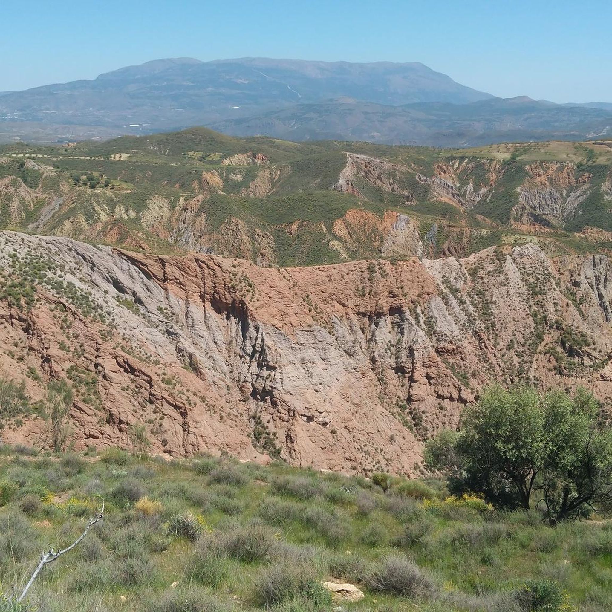
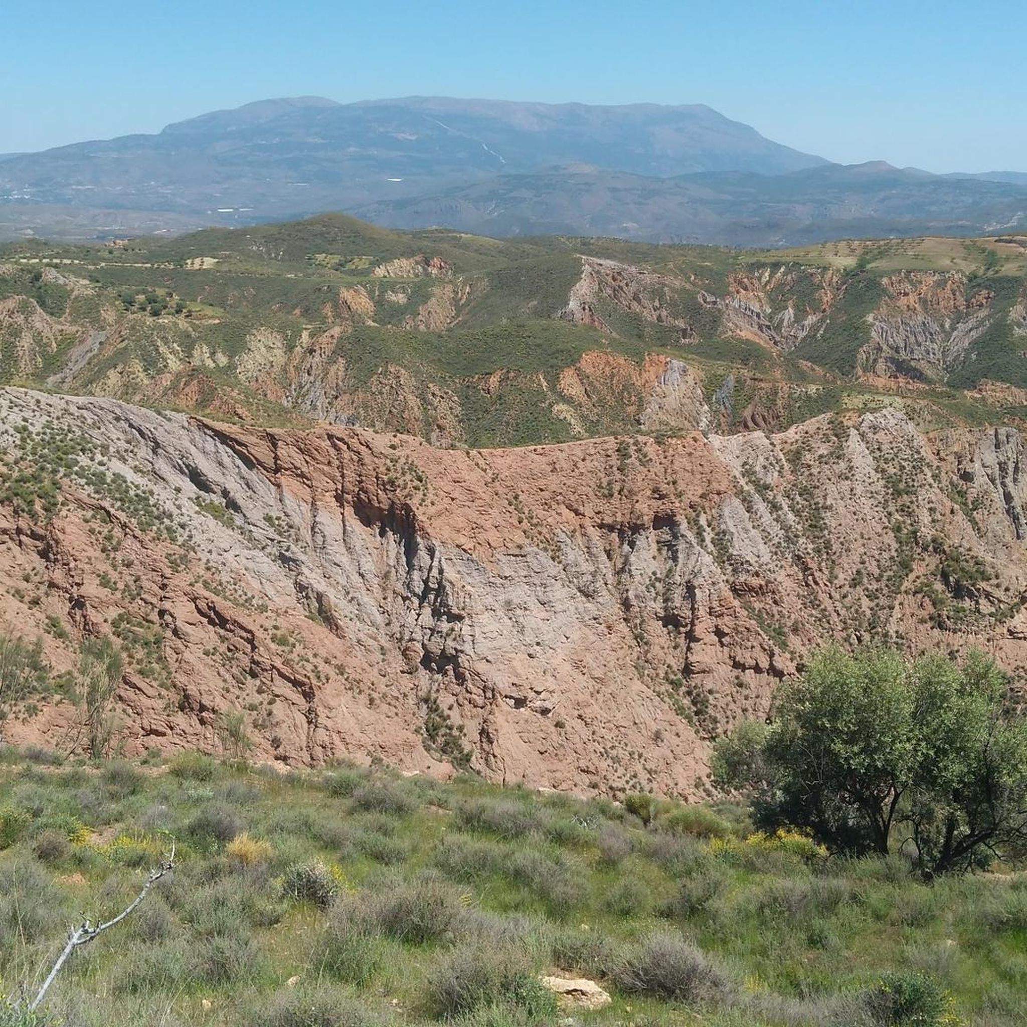
The Rambla del Repenil is a natural area located in the Alpujarra region of Granada, near Ugíjar. It remains dry for most of the year, but it collects torrential rainwater, forming a rugged landscape with eroded walls and abundant riparian vegetation.
1
0

The view of the Sierra Nevada Mountains is breathtaking, with their soaring peaks dominating the horizon. On clear days, the contrast between their slopes and the sky creates a majestic and powerful landscape.
1
0

a beautiful are to ride a bike
0
0
Jamon Jamon, find it in Trevelez
0
0

Anyone who speaks of Trevélez cannot help but talk about Serrano ham. The sign at the entrance to the town leaves no doubt that "Jamón" plays an important role here. Drying warehouses belonging to ham producers can be found everywhere. The three different quarters of the village of Trevelez are separated by an altitude difference of around 200 m. But even if strolling through the narrow, steep streets of the mountain village is a little arduous, it is still worth the effort.
1
2

absolutely stunning village and surroundings
0
0
An undiscovered village with great bars and shops.
0
0
Frequently Asked Questions
How many mountain bike trails are available in Alpujarra De La Sierra?
There are over 30 mountain bike trails in Alpujarra De La Sierra, offering a diverse range of experiences for riders. The komoot community has explored these routes over 200 times.
What kind of terrain can I expect on mountain bike trails in Alpujarra De La Sierra?
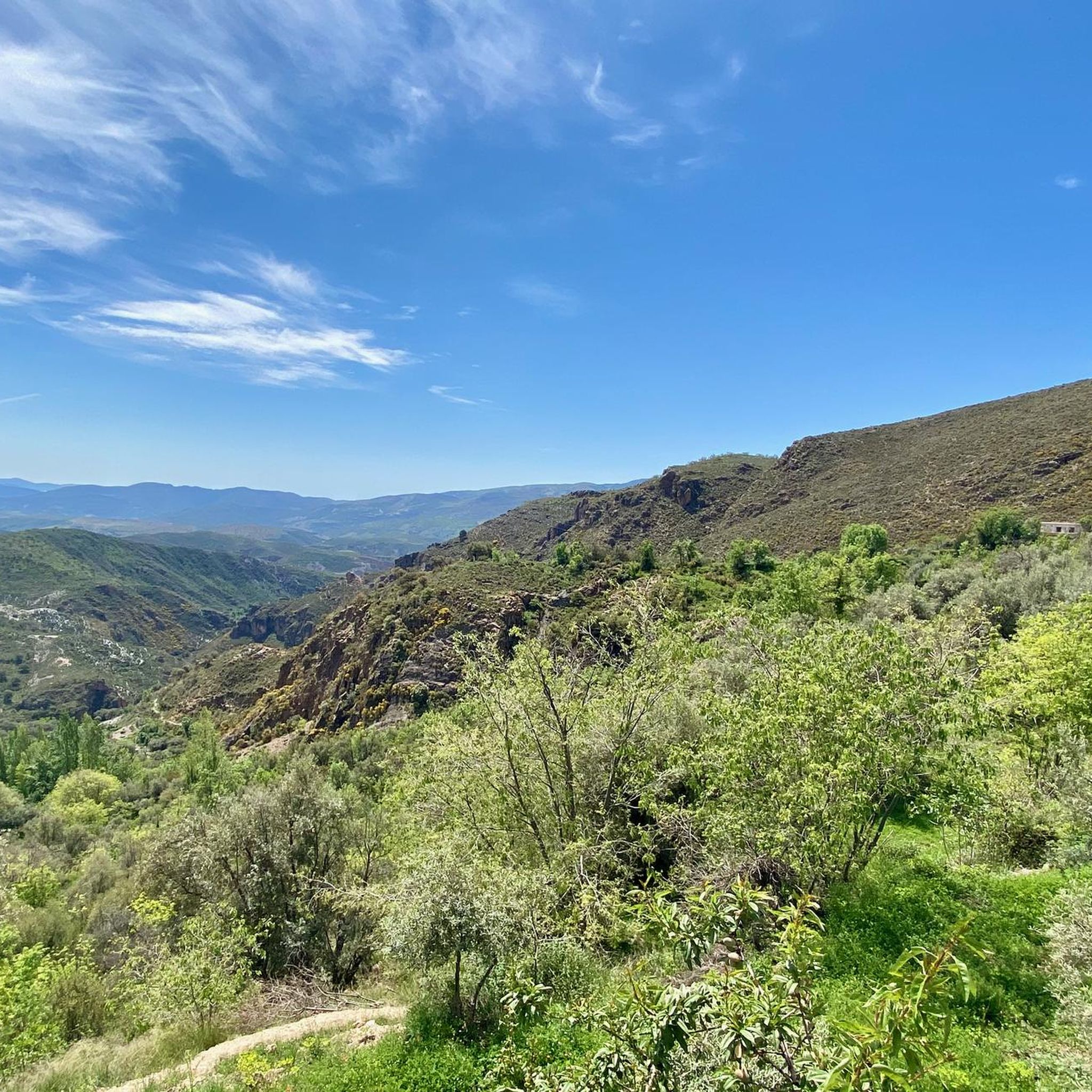
The region offers varied terrain, from lush valleys with olive, fig, and almond groves to high-altitude arid landscapes. You'll encounter steep hills, winding paths, and dramatic valleys carved by snowmelt, providing both challenging climbs and rewarding descents within the Sierra Nevada National Park.
Are there mountain bike trails suitable for beginners or advanced riders?
While the majority of trails in Alpujarra De La Sierra are rated as difficult (24 out of 31), there are also 7 moderate routes available. Advanced cyclists will find challenging rides with significant elevation gains, such as the Las Chorreras – circular desde Mecina Bombarón, which features over 1,100 meters of ascent.
What natural features or landmarks can I see along the mountain bike trails?
You can encounter a variety of natural features, including rivers like the Benéjar River and the Confluence of the Rivers (Cruce de Los Ríos) – El Horcajo. The region also features impressive gorges like Tajo del Águila and mountain passes such as La Ragua Pass, offering stunning views.
Are there any circular mountain bike routes in the area?
Yes, many routes in Alpujarra De La Sierra are circular. Examples include the challenging Cádiar loop from Cádiar, which covers over 34 km, and the Bérchules – Trevélez village loop from Bérchules, a 39.9 km ride through varied terrain.
What is the best time of year for mountain biking in Alpujarra De La Sierra?
The region's diverse terrain means mountain biking is enjoyable across seasons. Spring and autumn offer pleasant temperatures for exploring the valleys and lower altitudes. During summer, higher-altitude routes provide cooler conditions, while winter can offer unique experiences, though some higher passes might be affected by snow.
What do other mountain bikers enjoy most about Alpujarra De La Sierra?
The komoot community highly rates the mountain biking in Alpujarra De La Sierra, with an average score of 5.0 stars from over 10 reviews. Riders often praise the rugged landscapes, the charm of the picturesque white villages, and the diverse natural features that make for thrilling and scenic rides.
Are there any villages or towns along the trails where I can find amenities?
Yes, the Alpujarra is famous for its charming whitewashed villages. Many, like Pampaneira, Bubión, Capileira, Lanjarón, and Trevélez, are connected by cycling routes and offer amenities such as cafes, pubs, and accommodation. Some villages, like Bubión, even provide bicycle rental services and repair workshops.
Is there parking available near the mountain bike trailheads?
While specific parking details for every trailhead are not provided, mountain biking is very popular in the area, and villages often have designated parking areas. It is advisable to check local information for parking availability in the specific village you plan to start your ride from.
Can I use public transport with my bike to access trails in Alpujarra De La Sierra?
Public transport options, such as the Alsa bus service, connect many villages in the Alpujarra. While some services may allow bikes, it is highly recommended to check with the specific bus operator in advance regarding their policy on transporting bicycles, as space can be limited.
Are there any moderate mountain bike trails that offer good views?
Yes, the Yegen – Viewpoint Near Cáñar loop from Cádiar is a moderate 22.7 km route that offers scenic views. This trail provides a less strenuous option while still allowing you to experience the beauty of the Alpujarra landscape.
What are some of the most challenging mountain bike routes in the region?
For experienced riders seeking a challenge, routes like the Las Chorreras – circular desde Mecina Bombarón and Bérchules – View of Narila and Cádiar loop from Bérchules are excellent choices. Both are rated difficult and feature significant elevation gains, providing a demanding yet rewarding experience.
Most popular routes around Alpujarra De La Sierra
Most popular attractions around Alpujarra De La Sierra

Get inspired with the komoot mobile app


Explore more
Browse the best MTB trails in other regions.
