The best running trails around Alpujarra De La Sierra
152
runners
20
runs
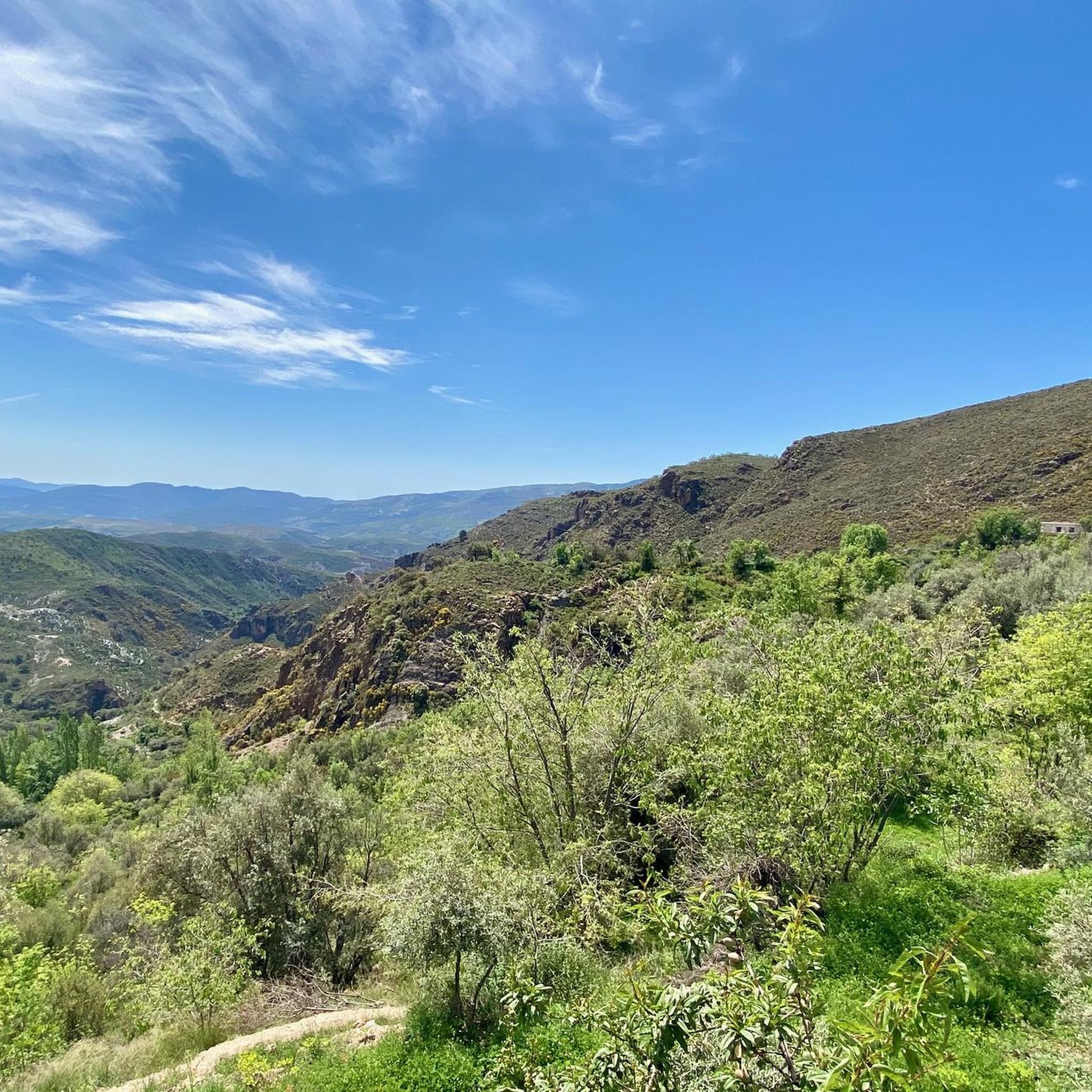
Jogging around Alpujarra De La Sierra offers diverse terrain within the Sierra Nevada National Park, characterized by mountainous relief and altitudes ranging from 700 to 2,750 meters. The landscape features numerous valleys and gorges, such as the Río Mecina and Río Bombón riverbeds, providing varied backdrops for running. Ancient terraced farmlands, olive groves, and chestnut forests cover the hillsides, sustained by melting snow from higher peaks. This region provides a network of trails suitable for various fitness levels, from moderate…
Last updated: May 23, 2026
7
runners
9.18km
01:28
550m
540m
Hard run. Very good fitness required. Mostly paved surfaces. Suitable for all skill levels.
3
runners
9.22km
01:18
490m
500m
Hard run. Very good fitness required. Mostly accessible paths. Some sure footedness required.

Sign up for free
1
runners
9.06km
01:08
220m
220m
Moderate run. Good fitness required. Mostly accessible paths. Some sure footedness required.
Hard run. Very good fitness required. Mostly paved surfaces. Suitable for all skill levels.
44
runners
22.2km
02:57
750m
750m
Hard run. Very good fitness required. Mostly paved surfaces. Suitable for all skill levels.
Get access to more routes and recommendations from other explorers.
Sign up for free
Already have an account?
Our route recommendations are based on thousands of hikes, rides, and runs completed by other people on komoot.
Start today with a free account
Your next adventure awaits.
Login or Signup
Popular around Alpujarra De La Sierra
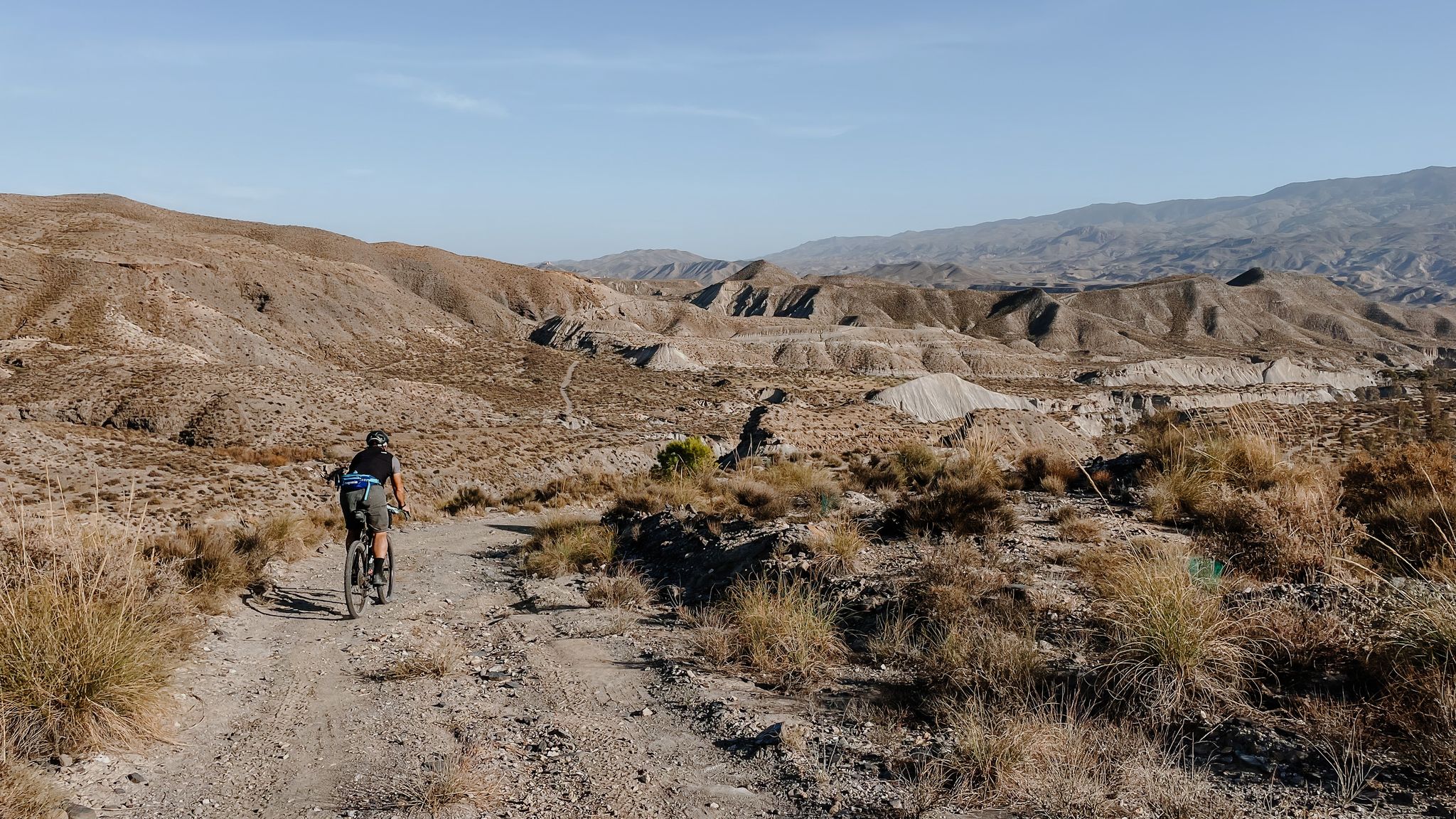
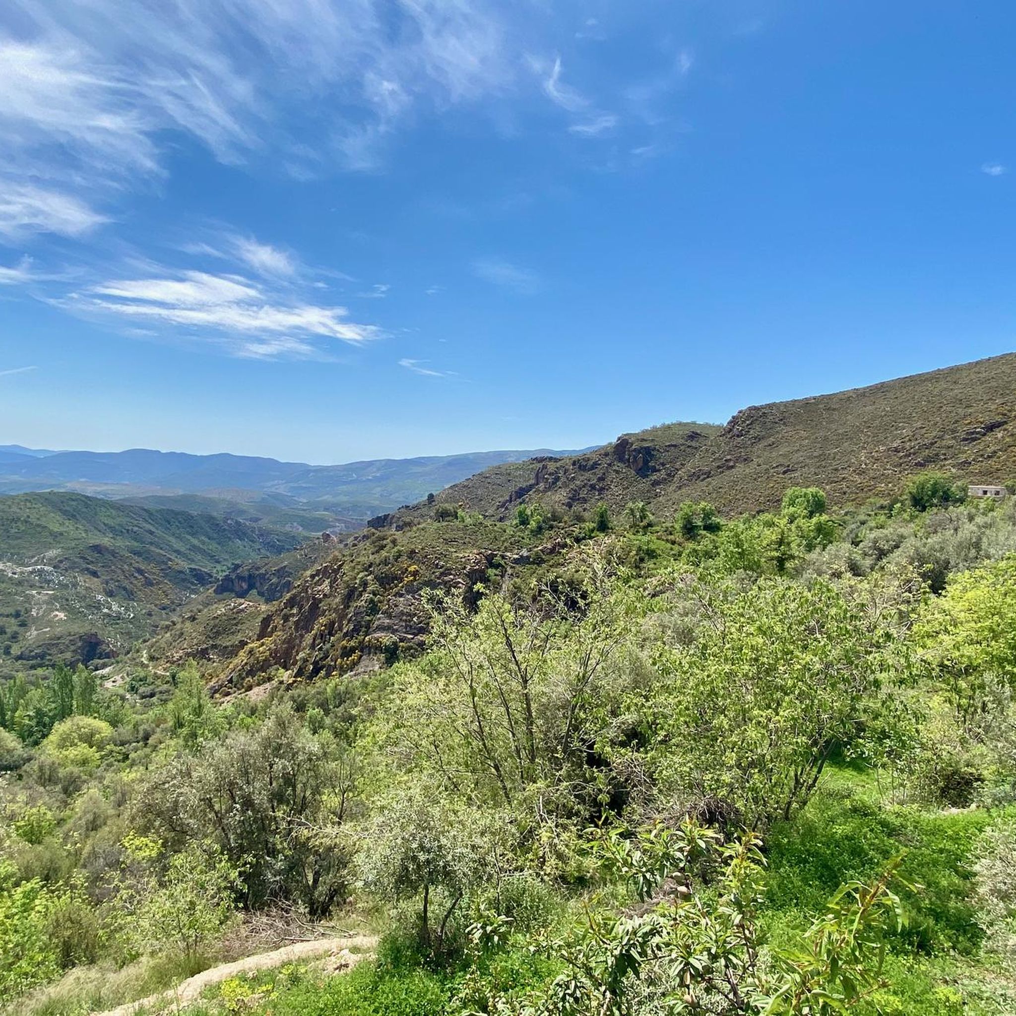
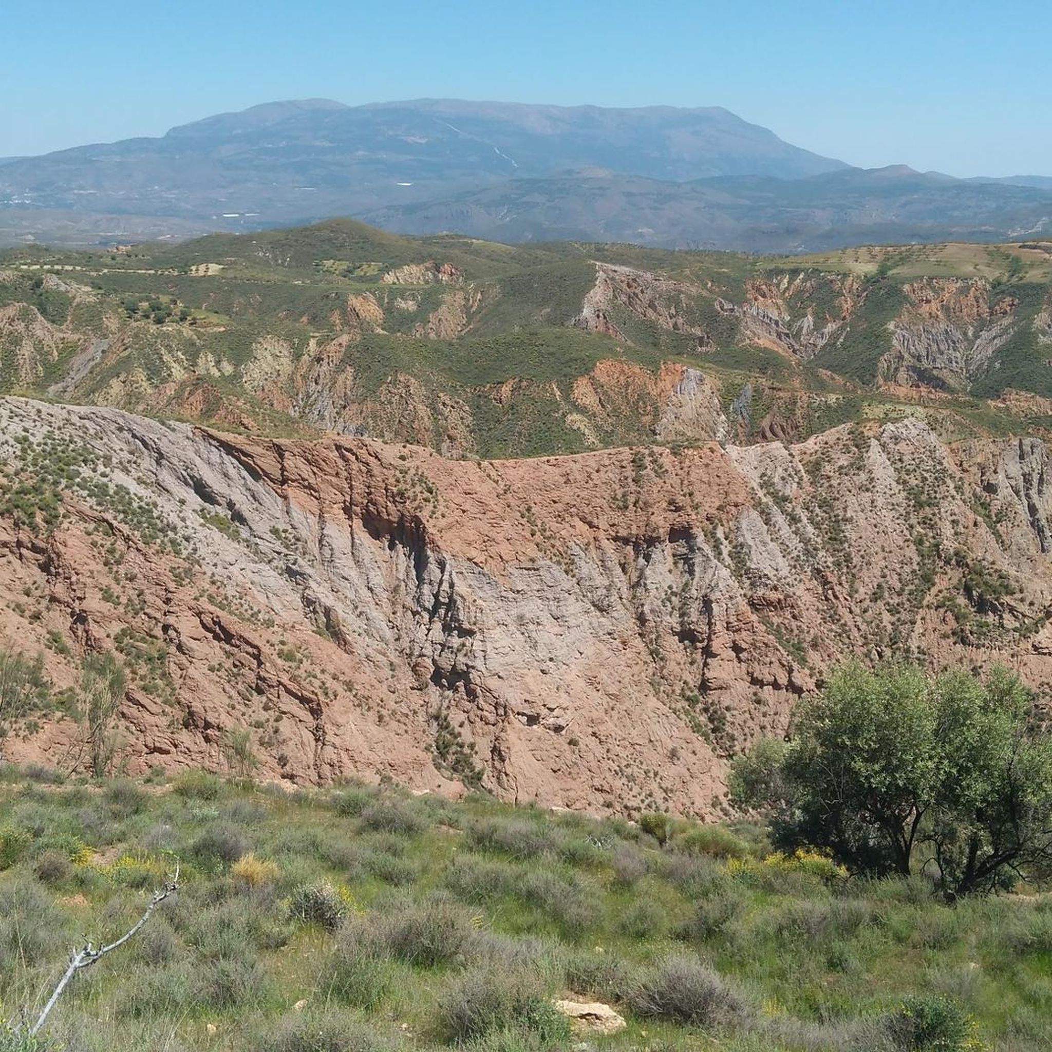

Other adventures around Alpujarra De La Sierra

Tips from the Community

This hike is really tough: -very poorly signposted -inaccurate komoot navigation -long, constant ascent, 560 meters of altitude gain -during the ascent, you have to climb a section on scree, for me even on hands and knees -the descent goes for a long time over scree, loose slate, along a very narrow path next to the ravine -we took 8 hours for it..(got lost for a bit and had to turn back to find the right path again) -tip: look for the 'stone men', so you can still orient yourself now and then
0
0

No problem at all with the north way, really nice landscape; 1h30 in running
2
0

Trevélez, located in the Alpujarra of Granada, is one of the highest villages in Spain, with an official altitude of 1,480 meters and its upper district reaching 1,600 meters above sea level. This picturesque Andalusian village is famous for its natural surroundings, traditional architecture, and exquisite cuisine.
2
0


It is the birthplace of Abén Humeya, promoter and first leader of the Moorish rebellion in 1568. He was born into a Moorish family converted to Christianity after the conquest of Granada in 1492. He left Christianity in favor of Islam and fought against repression of the Muslim faith and customs and the breach of the Capitulations of Granada and the laws of Carlos I and Felipe II. Said rebellion, which lasted three years and spread throughout the province, was violently controlled by the latter monarch.
0
0

From this viewpoint you have an impressive plain at your feet. The views are magnificent, mixing the green of the fields and the white of the towns.
0
0
This town, located at an altitude of 1,476 m on the southwestern slopes of Mulhacén, is not exactly the highest town in Spain as some claim, but its municipal area is, since the Mulhacén peak is located there. It is for this reason that some of its agricultural lands are also among the highest in Europe. Its name comes from the Latin "velex" which means 'valley'.
2
0
It is said that the repopulation of this village after the expulsion of the Moors was done with settlers from Asturias, Galicia and León.
2
0
Frequently Asked Questions
How many running routes are available in Alpujarra de la Sierra?
There are over 19 running routes in Alpujarra de la Sierra, offering diverse terrain for joggers and trail runners. These routes range from moderate paths to challenging mountain trails.
Are there any easy jogging routes in Alpujarra de la Sierra suitable for beginners?
While our guide features no routes explicitly rated 'easy', you'll find several moderate options that are great for those building fitness. The Acequia Real de Mairena – circular trail running from Mairena (PR-A 421) is a moderate 5.6-mile path leading through terraced farmlands and traditional villages, offering a less strenuous experience compared to the more challenging mountain trails.
What kind of terrain can I expect on the jogging trails in Alpujarra de la Sierra?
The region offers a diverse range of terrains, from winding mountain roads and ancient footpaths to trails through olive groves and chestnut forests. You'll encounter lush valleys, deep ravines, and terraced fields, with routes varying from relatively flat sections along old irrigation channels (acequias) to significant elevation gains on mountainous paths.
Are there any circular running routes in Alpujarra de la Sierra?
Yes, many of the running routes in Alpujarra de la Sierra are circular, allowing you to start and finish in the same location. For example, the challenging Peak Peñabón – trail running circular from Trevélez (SL-A 78) is a popular option, offering a rewarding loop through mountainous terrain.
What are some notable landmarks or points of interest I might see while running?
The region is rich in natural beauty and traditional architecture. You might encounter picturesque white villages clinging to hillsides, ancient terraced farmlands, and stunning mountain views. Specific highlights include the village of Trevélez, known for its high altitude and Serrano ham, and the scenic La Ragua Pass. The trails often pass through areas with traditional *acequias* (Moorish irrigation channels) and offer glimpses of peaks like Peñabón.
Are there any longer, more challenging running routes for experienced trail runners?
Absolutely. For experienced trail runners seeking a challenge, the region offers several demanding routes. The La Alpujarra - circular trail running between Cádiar, Golco, Mecina Bombarón and Bérchules is a difficult 12.3-mile route with significant elevation changes, connecting several charming villages.
What do other runners enjoy most about jogging in Alpujarra de la Sierra?
Runners frequently praise the diverse and dramatic mountain scenery, the unique experience of running through traditional white villages, and the extensive network of trails. The blend of nature and traditional agriculture, along with the mild climate, makes for a highly enjoyable outdoor experience.
Can I find routes that pass through chestnut forests?
Yes, the region is known for its beautiful chestnut forests, especially in certain areas. The Sendero Los Castaños – circular trail running from Válor is a difficult 5.7-mile path specifically designed to wind through these varied landscapes, including stunning chestnut groves, and offers panoramic views.
Are there any running loops starting from specific villages?
Many routes are designed as loops starting from or passing through the region's charming villages. For instance, you can find a challenging Running loop from Lanteira, which covers over 6 miles and offers a great way to explore the local surroundings.
What is the best time of year for jogging in Alpujarra de la Sierra?
The mild climate makes Alpujarra de la Sierra suitable for jogging for much of the year. Spring and autumn offer pleasant temperatures and vibrant landscapes. Summer mornings and evenings are also popular, while winter can provide unique opportunities for running, especially on lower-altitude trails, though higher elevations may require specific gear due to snow.
Most popular routes around Alpujarra De La Sierra
Most popular attractions around Alpujarra De La Sierra

Get inspired with the komoot mobile app


Explore more
Browse the best Running Trails & Routes in other regions.
