Attractions and Places To See in Təmtəmíxʷtən/Belcarra Regional Park - Top 7
Best attractions and places to see in Təmtəmíxʷtən/Belcarra Regional Park include a mix of natural features and culturally significant sites. This regional park covers over 1,100 hectares, offering diverse landscapes from beaches and forested trails to Sasamat Lake. The park's name, meaning "the biggest place for all the people" in hən̓q̓əmin̓əm̓, reflects its historical importance as an ancestral village site for the Tsleil-Waututh Nation. Visitors can explore shoreline paths, calm lake waters, and various viewpoints.
Best attractions and places to see in Təmtəmíxʷtən/Belcarra Regional Park
- The most popular attractions is Maple Beach, a beach where forested shoreline trails open up to a scenic stop. The shoreline is rocky and can be slippery after rain.
- Another must-see spot is Belcarra Picnic Area, a facilities area with picnic shelters, barbecue stands, and restrooms. It offers beach access for swimming, kayaking, and paddleboarding.
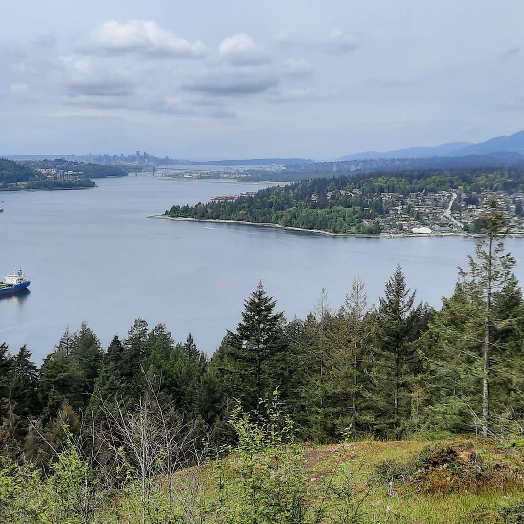
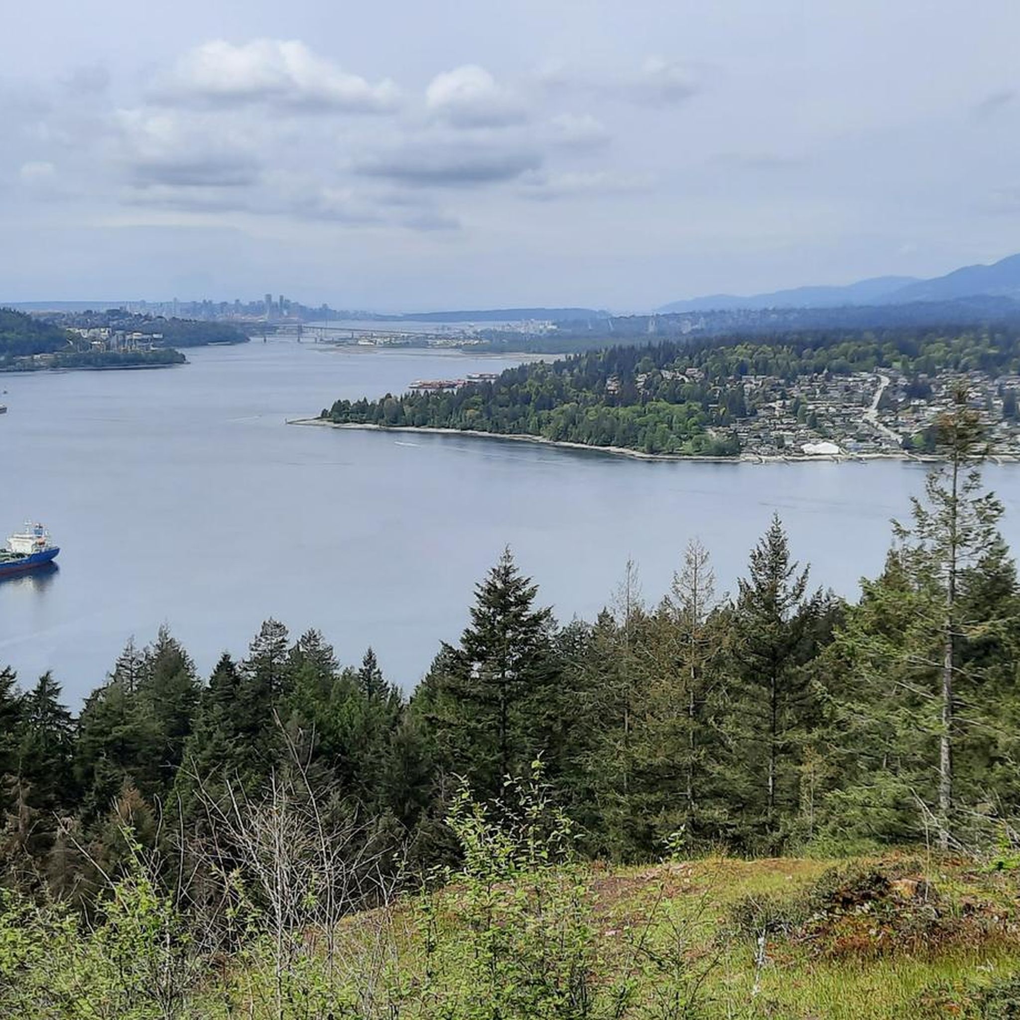
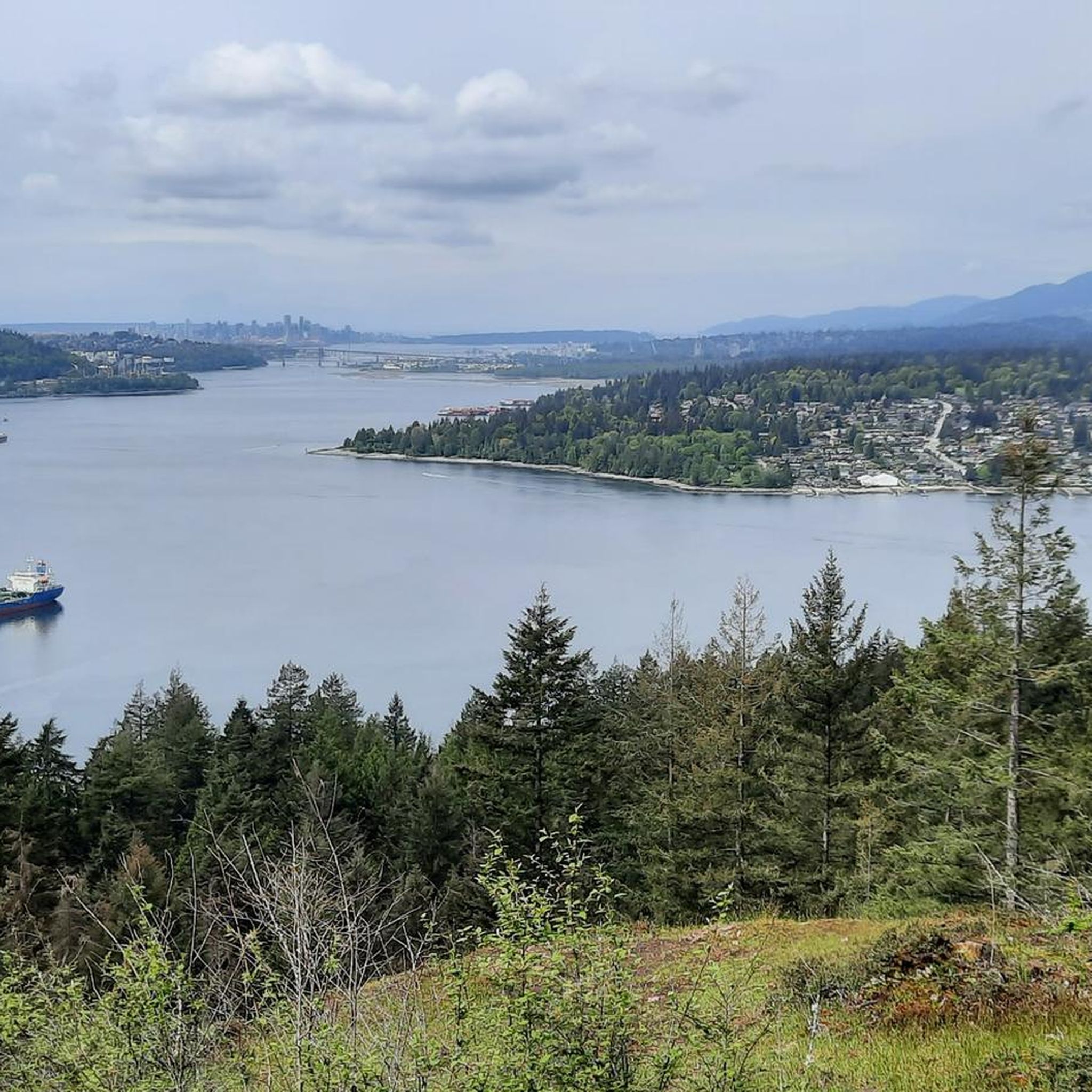
- Visitors also love Belcarra Lookout, a viewpoint overlooking Burrard Inlet. This quiet spot provides distant views of Capitol Hill, downtown Vancouver, and the North Shore mountains.
- Təmtəmíxʷtən/Belcarra Regional Park is known for its beaches, viewpoints, and extensive trail network. The park offers a variety of attractions to see and explore, from tranquil lake shores to rocky outcrops.
- The attractions in Təmtəmíxʷtən/Belcarra Regional Park are appreciated by the komoot community, with 7 upvotes and 4 photos shared by visitors.
Last updated: October 6, 2026
Maple Beach
Highlight • Beach
Tip by

Belcarra Lookout
Highlight • Viewpoint
Tip by

Sign up now to discover places like this
Get recommendations on the best single tracks, peaks, & plenty of other exciting outdoor places.
Admiralty Point
Highlight • Viewpoint
Tip by
Belcarra Picnic Area
Highlight • Rest Area
Tip by
təmtəmíxʷtən — Belcarra Regional Park
Highlight • Forest
Tip by

Sign up for free to discover even more attractions in Təmtəmíxʷtən/Belcarra Regional Park.
Already have an account?
Start today with a free account
Your next adventure awaits.
Popular around Təmtəmíxʷtən/Belcarra Regional Park
Hiking in Təmtəmíxʷtən/Belcarra Regional Park
Road Cycling Routes in Təmtəmíxʷtən/Belcarra Regional Park

Gravel biking in Təmtəmíxʷtən/Belcarra Regional Park
Cycling in Təmtəmíxʷtən/Belcarra Regional Park
Running Trails in Təmtəmíxʷtən/Belcarra Regional Park
MTB Trails in Təmtəmíxʷtən/Belcarra Regional Park
Tips from the Community

təmtəmíxʷtən/Belcarra Regional Park sits covers 1,100 hectares (2,700 acres) and offers a mix of beaches, shaded trails, and calm lake swimming. You can explore cool, mossy glades beneath towering trees, wander shoreline paths, or head inland to Sasamat Lake, known for its warm summer water and family‑friendly beaches. The parks name, given by the Tsleil‑Waututh Nation, means “the biggest place for all the people,” and the land still holds a high place in their history and culture.
0
0

Admiralty Point is a prominent rocky outcrop that juts into Burrard Inlet where you can get a close-up view of passing boats and the forested shoreline across the water. The point is edged with smooth stone slabs and driftwood, making it a popular spot for picnicking, tidepooling, and watching seals or seabirds. It’s a quiet, scenic destination with a front-row seat to the beautiful inlet’s daily rhythms.
0
0
This quiet viewpoint overlooks Burrard Inlet, with distant views of Capitol Hill, downtown Vancouver, and the North Shore mountains. Surrounded by second-growth forest, it's a peaceful spot away from the busier nearby trails to take a break and capture a few memorable photos.
0
0

Belcarra Picnic Area is a great family-friendly spot to spend the day or a great spot to prepare for a hike. The park features picnic shelters and tables scattered across its grassy areas, as well as restrooms, potable drinking water, and barbecue stands. There is beach access for swimming, kayaking, and paddleboarding, along with a paved parking lot that fills up quickly on summer weekends.
0
0
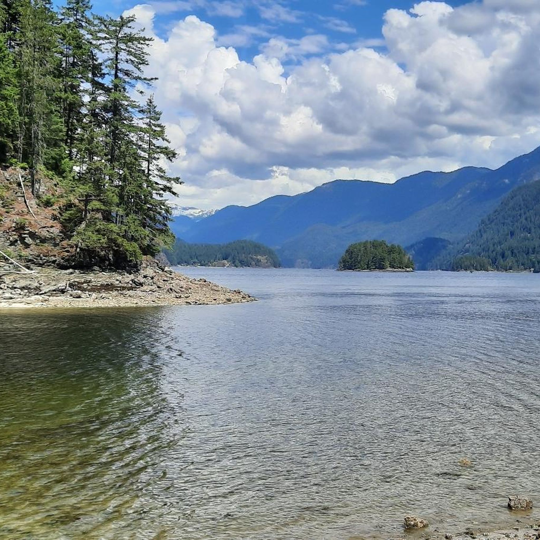
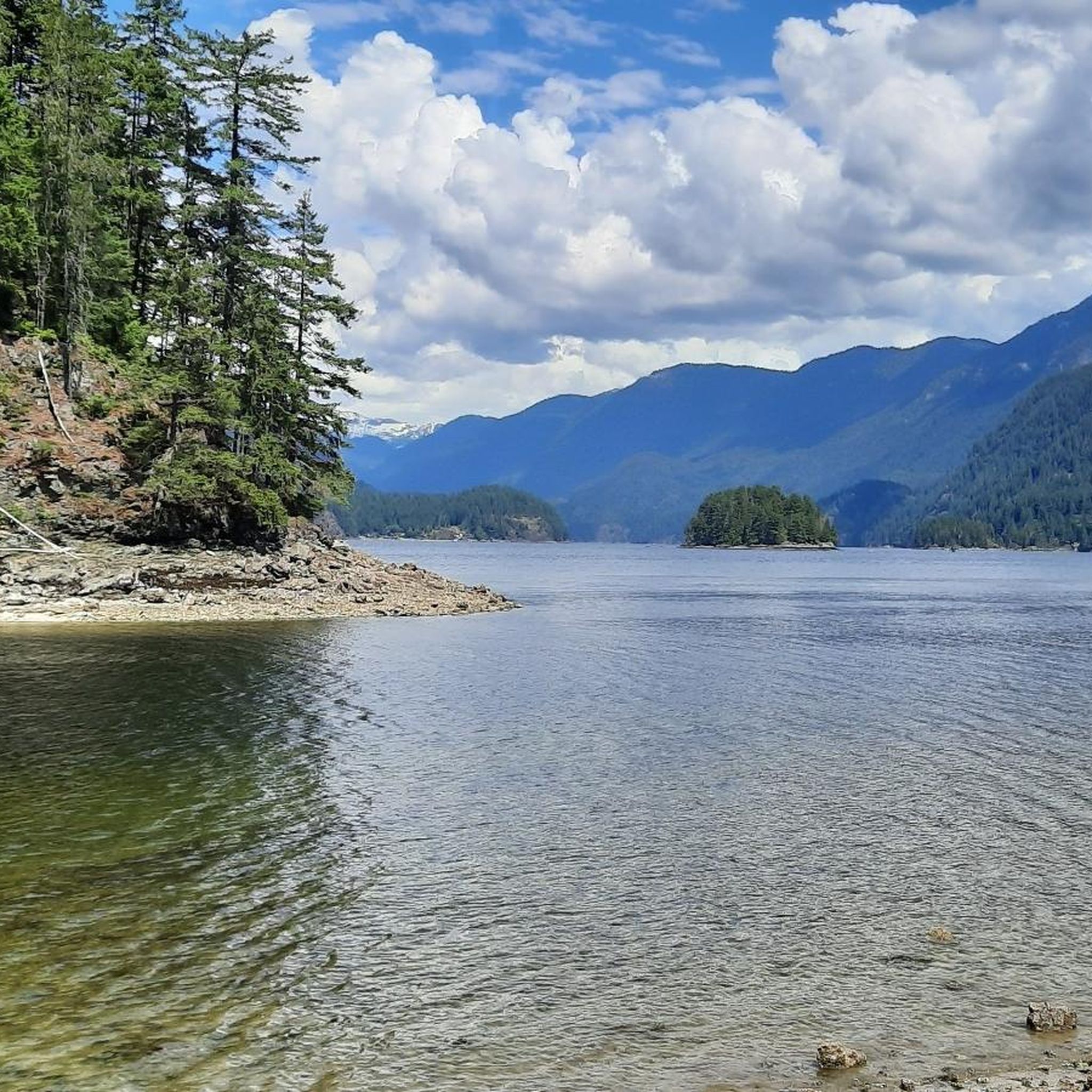
The forested shoreline trails open up to Maple Beach. It is a scenic stop, and there is a restroom on the other side of the trail. The shoreline is rocky and can get slippery after rain.
0
0
Frequently Asked Questions
What natural features can I explore in Təmtəmíxʷtən/Belcarra Regional Park?
The park is rich in natural beauty. You can enjoy Maple Beach with its scenic shoreline, or visit Admiralty Point, a rocky outcrop offering panoramic views of Burrard Inlet. Sasamat Lake is known for being one of Metro Vancouver's warmest lakes, perfect for swimming, and features a distinctive floating boardwalk. The park also encompasses a significant portion of Indian Arm, an 18-kilometer fjord, and the Woodhaven Swamp, a vital wetland habitat.
Are there family-friendly activities and spots in Təmtəmíxʷtən/Belcarra Regional Park?
Absolutely. The park is very family-friendly. The Belcarra Picnic Area offers reservable picnic shelters, barbecue stands, and direct beach access for swimming, kayaking, and paddleboarding. White Pine Beach on Sasamat Lake is another excellent spot for families, known for its warm waters and concession stand. Many trails, such as the Sasamat Lake Loop Trail and Admiralty Point Trail, are considered easy and suitable for families.
What historical or cultural significance does Təmtəmíxʷtən/Belcarra Regional Park hold?
The park holds deep cultural significance, particularly for the Tsleil-Waututh Nation. Its name, Təmtəmíxʷtən, means “the biggest place for all the people” in the hən̓q̓əmin̓əm̓ language, reflecting its history as an ancestral village site. The park contains Indigenous archaeological sites, including remnants of ancient settlements, highlighting the long-standing presence and use of the land by Indigenous communities.
What are some popular hiking trails in Təmtəmíxʷtən/Belcarra Regional Park?
The park offers an extensive network of trails. Popular options include the easy and scenic Sasamat Lake Loop Trail, which features a floating boardwalk. The Admiralty Point Trail is another easy route leading to the scenic Admiralty Point. For a moderate hike, consider the Jug Island Trail, which winds through lush forests down to Jug Island Beach. You can find more hiking options in the Hiking in Təmtəmíxʷtən/Belcarra Regional Park guide.
Where can I find the best views in Təmtəmíxʷtən/Belcarra Regional Park?
For stunning vistas, visit Belcarra Lookout, which provides distant views of Capitol Hill, downtown Vancouver, and the North Shore mountains over Burrard Inlet. Admiralty Point offers close-up views of passing boats and the forested shoreline. Jug Island Beach, accessible via the Jug Island Trail, also provides breathtaking mountain and ocean views, including the small Jug Island itself.
What water-based activities are available in the park?
Təmtəmíxʷtən/Belcarra Regional Park is ideal for water activities. You can swim in the warm waters of Sasamat Lake, or enjoy kayaking, canoeing, and paddleboarding from the Belcarra Picnic Area. The Belcarra Pier is a popular spot for fishing and crabbing. Indian Arm also offers superb opportunities for boating, kayaking, and even scuba diving, particularly at Whiskey Cove.
Is there parking available at Təmtəmíxʷtən/Belcarra Regional Park?
Yes, parking is available. The Belcarra Picnic Area has a paved parking lot, though it can fill up quickly on summer weekends due to its popularity. It's advisable to arrive early during peak times.
What kind of wildlife can I expect to see in Təmtəmíxʷtən/Belcarra Regional Park?
The park's diverse ecosystems support a variety of wildlife. You might spot deer and bears in the forested areas, while waterfowl and shorebirds are common near the water. The marine environment is home to seals and various marine creatures, making areas like Admiralty Point excellent for tidepooling and observing seabirds.
Are there cycling routes available near the attractions in Təmtəmíxʷtən/Belcarra Regional Park?
Yes, there are several cycling routes in and around the park. You can explore options for road cycling or touring bicycle routes. For detailed information on routes like the Barnet Marine Park loop or the Cassiar Bikeway loop, refer to the Road Cycling Routes in Təmtəmíxʷtən/Belcarra Regional Park guide or the Cycling in Təmtəmíxʷtən/Belcarra Regional Park guide.
What do visitors enjoy most about Təmtəmíxʷtən/Belcarra Regional Park?
Visitors particularly appreciate the park's blend of natural beauty and recreational opportunities. The scenic shoreline trails, like those leading to Maple Beach, are highly rated. The facilities at Belcarra Picnic Area make it a popular spot for day trips and family gatherings, while viewpoints like Belcarra Lookout are cherished for their peaceful atmosphere and memorable photo opportunities.
What is the best time to visit Təmtəmíxʷtən/Belcarra Regional Park?
The park is enjoyable year-round, but the warmer months (late spring to early autumn) are particularly popular for swimming in Sasamat Lake and water-based activities. During these times, the Belcarra Picnic Area and White Pine Beach are bustling. For hiking and wildlife viewing, spring and fall offer pleasant temperatures and vibrant scenery, while winter provides a quieter, serene experience.
Most popular routes in Təmtəmíxʷtən/Belcarra Regional Park

Get inspired with the komoot mobile app


Explore more
Still not found the Highlight you’re looking for? See guides of the top attractions in other regions:
