The best MTB trails in Təmtəmíxʷtən/Belcarra Regional Park
4.3
(23)
1,379
riders
34
rides
Mountain biking in Təmtəmíxʷtən/Belcarra Regional Park offers diverse terrain across its 2,700 acres, characterized by dense second-growth forests, rocky bluffs, and coastal environments. The park features varied elevation changes, with some trails including rugged and steep sections. Riders can explore forested shoreline trails and areas around Sasamat Lake, providing a mix of technical challenges and scenic paths. The landscape includes both unpaved sections and options suitable for different fitness levels.
Best mountain bike trails in Təmtəmíxʷtən/Belcarra Regional Park
- The most…
Last updated: November 4, 2026
6
riders
21.0km
01:55
610m
610m
Hard mountain bike ride. Good fitness required. Advanced riding skills necessary. Some portions of the route may require you to push your bike.
5.0
(2)
37
riders
9.59km
00:53
170m
170m
Moderate mountain bike ride. Advanced riding skills necessary.

96
riders
25.2km
02:53
1,040m
1,040m
Hard mountain bike ride. Very good fitness required. Advanced riding skills necessary. Some portions of the route may require you to push your bike.
31
riders
8.36km
01:04
430m
430m
Hard mountain bike ride. Good fitness required. Advanced riding skills necessary. Some portions of the route may require you to push your bike.
14
riders
27.9km
02:20
600m
600m
Moderate mountain bike ride. Good fitness required. Advanced riding skills necessary.
Get access to more routes and recommendations from other explorers.
Already have an account?
Our route recommendations are based on thousands of hikes, rides, and runs completed by other people on komoot.
Start today with a free account
Your next adventure awaits.
Popular around Təmtəmíxʷtən/Belcarra Regional Park

Tips from the Community

This eastern stretch of the Bridle Path crosses Taylor Creek in classic Mount Seymour forest: green, shaded, and slightly rugged. It’s a good place to slow down by the water before continuing through the trail network. The path is shared with riders, so stay aware.
0
0
Parkgate Park is a handy green launchpad near Mount Seymour, with playgrounds, sports fields, picnic spots, and a skatepark for an easy outdoor break. It also connects well with local walking routes and bigger North Shore adventures, including access toward the Baden-Powell network and Old Buck Trail.
0
0

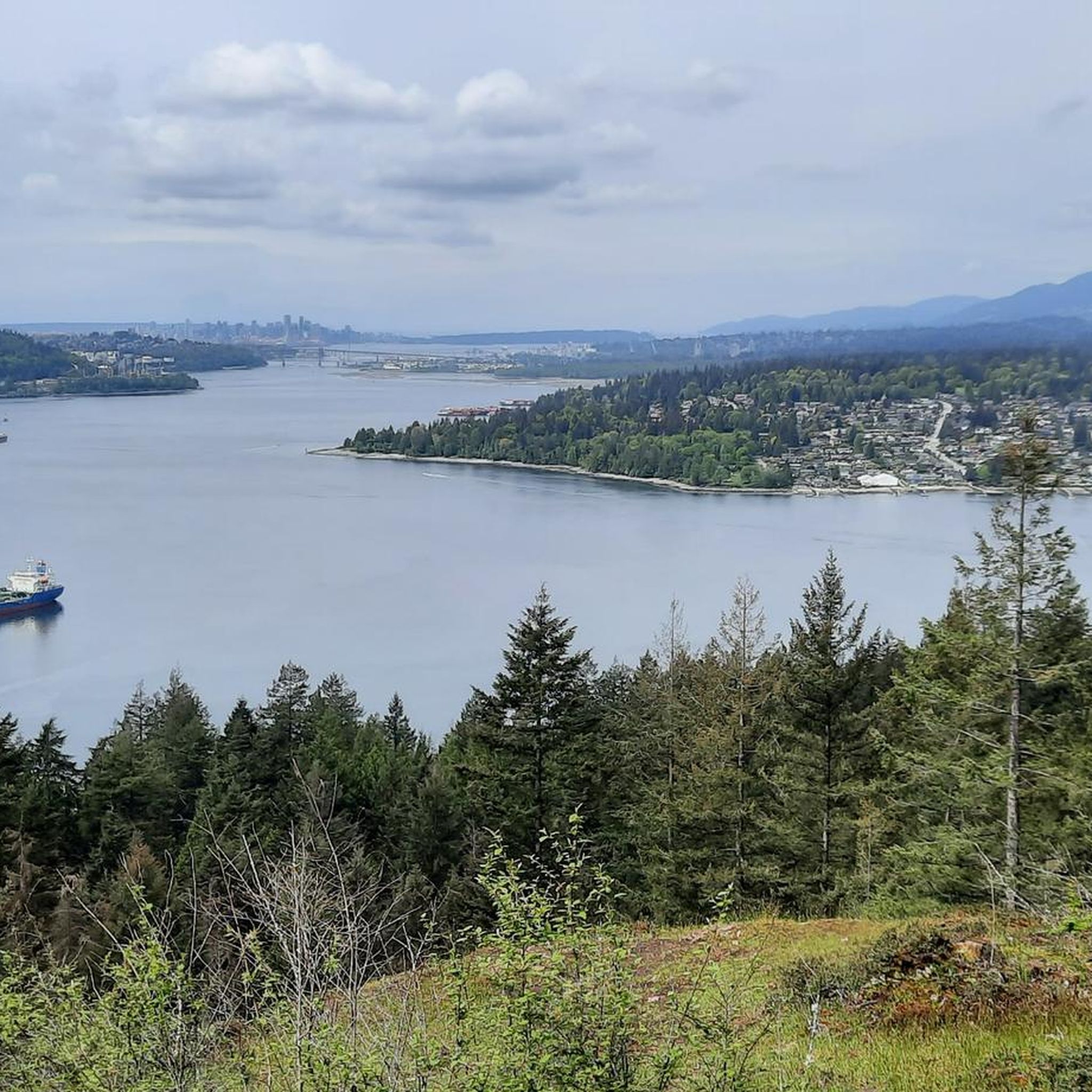
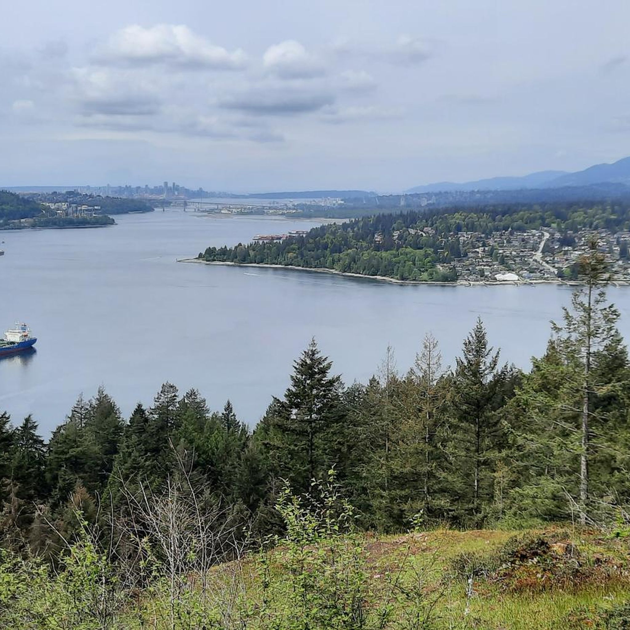
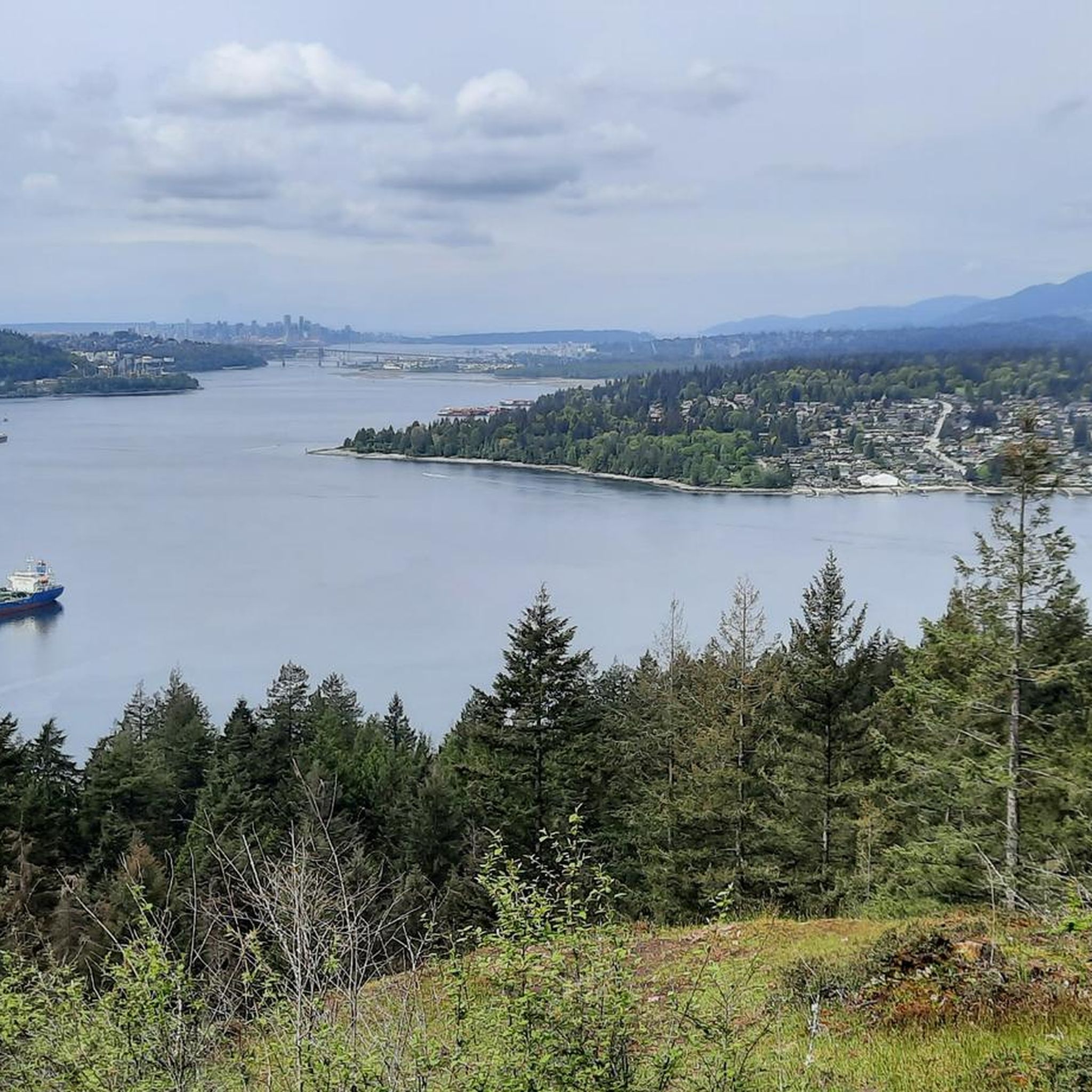
You can walk down from the parking lot to a lookout point that peers between the treetops in the direction of Port Moody. The lookout is right along the road but separated from traffic by barricading.
0
0
Many of the trails near the entrance of the park are wide crushed gravel, but there are plenty of windy singletrack paths to explore further in. Dogs must be leashed once you're off the main road.
0
0
The park is shared by hikers, dog walkers, and mountain bikers. The trails have some technical features for mountain biking but are a very family-friendly walk, and the bikers are used to looking out for kids and dogs.
0
0
This is a winding singletrack shared by hikers and mountain bikers. You'll find some wooden skinnies and other bike features on the trail.
0
0

The Seymour River Suspension Bridge was completed and opened in December 2018. This made it possible to walk the Fisherman's Trail (North) all the way through again. After the former Twin Bridges had to be demolished in 2014 following a rockslide and damming of the Seymour River, there was no longer a crossing at this point in the Lower Seymour Conservation Reserve. The Twin Bridges were originally built in 1908 to carry pipelines and were later supplemented by a parallel pedestrian bridge. Years later, the two bridges were combined to form one bridge. https://www.vancouvertrails.com/blog/seymour-river-suspension-bridge/
2
0

This pedestrian and bicycle bridge crosses the Seymour River and is part of the region's network of trails and roads. Opened in 2018, the bridge is a modern structure designed to improve access and connectivity to surrounding natural areas, such as Lower Seymour Conservation Reserve Regional Park and Inter River Park. As well as being an attractive spot for walkers and cyclists, the bridge offers panoramic views of the river and its natural surroundings.
1
0
Frequently Asked Questions
How many mountain bike trails are available in Təmtəmíxʷtən/Belcarra Regional Park?
There are nearly 50 mountain bike trails in Təmtəmíxʷtən/Belcarra Regional Park. These routes offer a diverse range of experiences, from easier paths to challenging rides with significant elevation changes.
What kind of terrain can I expect when mountain biking in Təmtəmíxʷtən/Belcarra Regional Park?
The park offers a varied landscape for mountain biking, including dense second-growth forests, rocky bluffs, and coastal environments. You'll encounter varied elevation changes, with some trails featuring rugged and steep sections, as well as unpaved paths. Trails around Sasamat Lake also provide scenic forested shoreline riding.
Are there mountain bike trails suitable for beginners in Təmtəmíxʷtən/Belcarra Regional Park?
Yes, Təmtəmíxʷtən/Belcarra Regional Park has options for beginners. While many trails are challenging, some sections are easier and more suitable for those new to mountain biking. The park's cycling routes cater to different fitness levels, including some with mostly paved surfaces. The Springboard Trail is noted as a good beginner mountain biking trail.
Which trails offer a more challenging mountain biking experience in the park?
For experienced mountain bikers seeking a challenge, trails like Sugar Mountain, Saddle Ridge, and Bear Claw are known for being rugged with steep sections. Additionally, routes such as Top of GSM Trail – Severed D loop from Dollarton and Corkscrew – Pangor loop from Belvedere are rated as difficult and feature significant elevation gain.
What natural features or viewpoints can I see along the mountain bike trails?
While riding, you can encounter various natural features and viewpoints. The park features forested shoreline trails that open up to scenic spots like Maple Beach. Admiralty Point offers views of Burrard Inlet, and Belcarra Lookout provides expansive vistas. Sasamat Lake is also a central feature, with trails following its forested shoreline.
Are there any loop trails for mountain biking in Təmtəmíxʷtən/Belcarra Regional Park?
Yes, there are several loop trails available for mountain biking. Examples include the difficult Top of GSM Trail – Severed D loop from Dollarton, the moderate Bert Flinn Park loop from Port Moody, and the challenging Corkscrew – Pangor loop from Belvedere.
What do other mountain bikers enjoy most about Təmtəmíxʷtən/Belcarra Regional Park?
The mountain bike trails in Təmtəmíxʷtən/Belcarra Regional Park are highly rated by the komoot community, with an average score of 4.1 stars. Riders often praise the diverse terrain, from dense forests to coastal views, and the variety of challenges available for different skill levels.
Is Təmtəmíxʷtən/Belcarra Regional Park suitable for family mountain biking?
The park offers a range of trails, some of which are suitable for families, particularly those with easier, mostly paved sections. The Belcarra Picnic Area is also a family-friendly spot with amenities, making it a good base for a family outing that includes some cycling.
What is the best time of year to go mountain biking in Təmtəmíxʷtən/Belcarra Regional Park?
The park is accessible year-round, but the best time for mountain biking is typically during the drier months from spring through fall. This avoids the wettest conditions that can make some trails more challenging or muddy. Sasamat Lake, a central feature, is also one of the warmest lakes in Metro Vancouver, making summer a popular time for combining biking with swimming.
Are there facilities like picnic areas or restrooms available in the park?
Yes, the Belcarra Picnic Area is a well-equipped spot with picnic shelters, tables, restrooms, drinking water, and barbecue stands. Maple Beach also has a restroom nearby.
Where can I find parking for mountain biking in Təmtəmíxʷtən/Belcarra Regional Park?
Parking is available at various access points within Təmtəmíxʷtən/Belcarra Regional Park, including near the Belcarra Picnic Area and White Pine Beach at Sasamat Lake. It's advisable to check the park's official website for specific parking lot locations and any potential fees or restrictions.
Are there any cafes or places to eat near the mountain bike trails?
While the park itself is primarily natural, the nearby communities of Port Moody and Deep Cove offer various cafes, restaurants, and amenities where you can refuel before or after your ride.
Most popular routes in Təmtəmíxʷtən/Belcarra Regional Park
Most popular attractions in Təmtəmíxʷtən/Belcarra Regional Park

Get inspired with the komoot mobile app


Explore more
Browse the best MTB trails in other regions.
