The best gravel rides in Təmtəmíxʷtən/Belcarra Regional Park
4.5
(79)
573
riders
12
rides
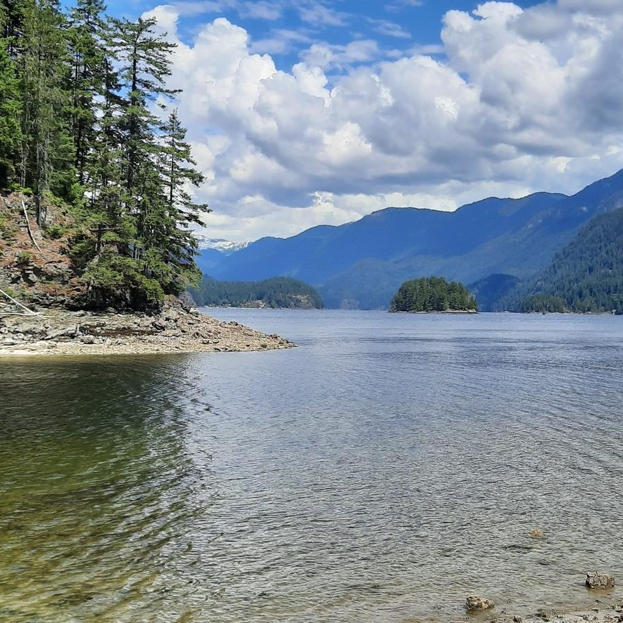
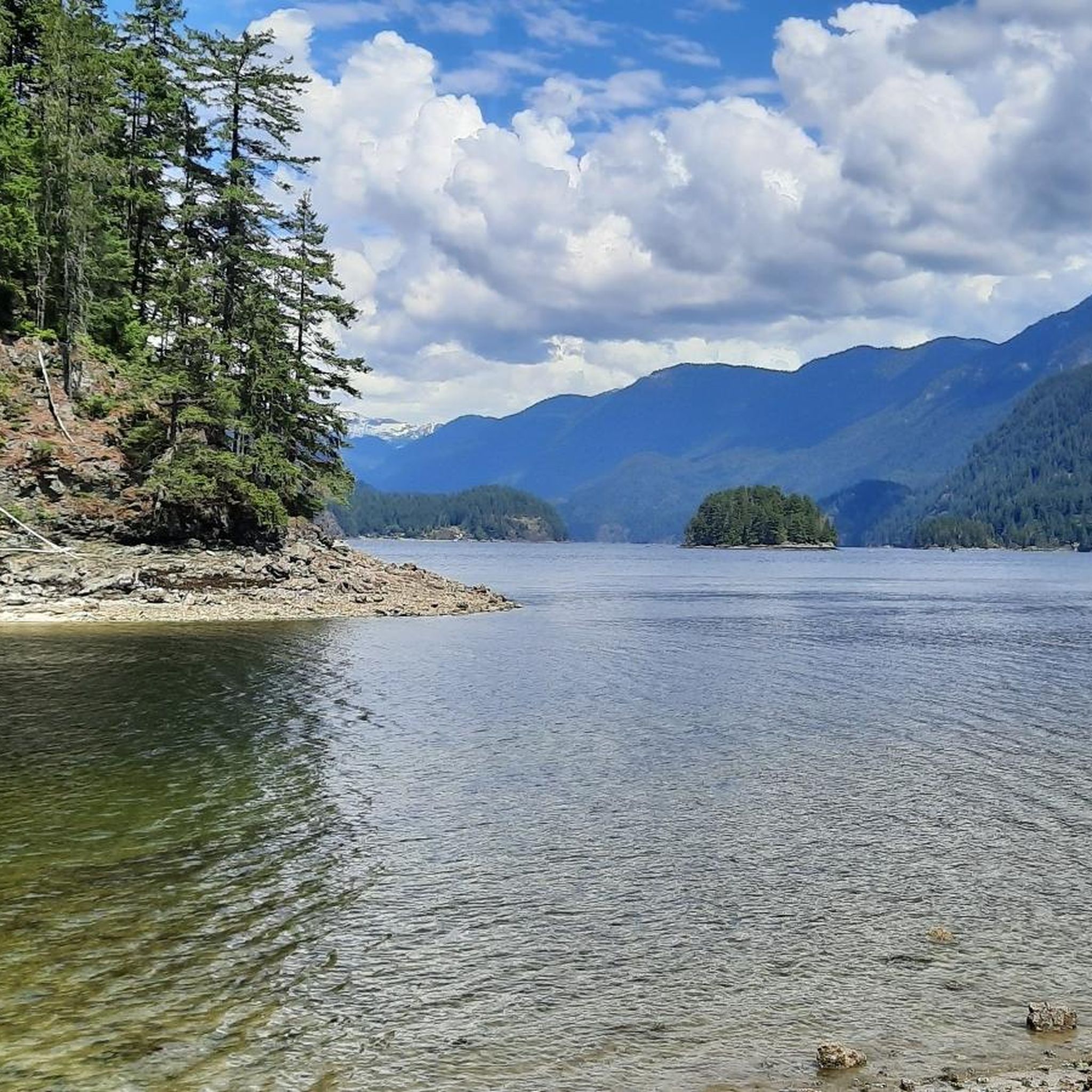
Gravel biking in Təmtəmíxʷtən/Belcarra Regional Park traverses a protected area characterized by extensive forested trails, freshwater lakes, and a saltwater coastline. The terrain includes shared roads, hills, and some singletrack sections. This diverse landscape provides a range of gravel biking experiences, from coastal views to deep forest routes. The park features varied terrain suitable for different skill levels.
Best gravel bike trails in Təmtəmíxʷtən/Belcarra Regional Park
- The most popular gravel bike trail is Halfway Hairpin – Seymour Lake Gazebo loop from Lougheed Town Centre, a 46.5 miles (74.8 km) trail that takes 4 hours 39 minutes to complete. This route leads through forested areas and offers significant elevation gain.
- Another top favourite among local gravel bikers is Frances–Union Bike Route – Burnaby North Viking Statue loop from Lougheed Town Centre, a difficult 36.9 miles (59.4 km) path. This route connects urban greenways with varied terrain.
- Local gravel bikers also love the Noons Creek Salmon Hatchery – Port Moody Heron Rookery loop from Inlet Centre, a 18.1 miles (29.2 km) trail leading through coastal areas, often completed in about 1 hour 54 minutes.
- Gravel biking in Təmtəmíxʷtən/Belcarra Regional Park is defined by forested trails, freshwater lakes, and saltwater coastline. The network offers options for different ability levels, from moderate paths to difficult climbs.
- The routes in Təmtəmíxʷtən/Belcarra Regional Park are highly rated by the komoot community with an average score of 4.5 stars from over 70 reviews. More than 500 gravel bikers have used komoot to explore Təmtəmíxʷtən/Belcarra Regional Park's varied terrain.
Last updated: November 3, 2026
5.0
(9)
145
riders
74.9km
04:39
980m
980m
Hard gravel ride. Very good fitness required. You may need to push your bike for some segments of this route.
14
riders
57.7km
03:19
680m
680m
Hard gravel ride. Very good fitness required. Mostly paved surfaces.

56
riders
43.8km
02:37
570m
570m
Hard gravel ride. Very good fitness required. Mostly paved surfaces.
4.0
(1)
11
riders
84.7km
04:25
470m
470m
Hard gravel ride. Very good fitness required. Mostly paved surfaces.
4.3
(46)
132
riders
Moderate gravel ride. Good fitness required. Mostly paved surfaces.
Get access to more routes and recommendations from other explorers.
Already have an account?
Our route recommendations are based on thousands of hikes, rides, and runs completed by other people on komoot.
Start today with a free account
Your next adventure awaits.
Popular around Təmtəmíxʷtən/Belcarra Regional Park
Tips from the Community

A very busy road, but still made for an interesting view.
0
0

The Hyde Creek Salmon Hatchery is a small powerhouse of local conservation, run entirely by volunteers who raise thousands of coho and chum salmon each year. Its story began in the 1980s with a homemade backyard hatchery, complete with an old bathtub! Drop by on a Saturday morning when volunteers are usually around, and you may get a glimpse behind the scenes before heading back out to watch for salmon in Hyde Creek itself.
1
0

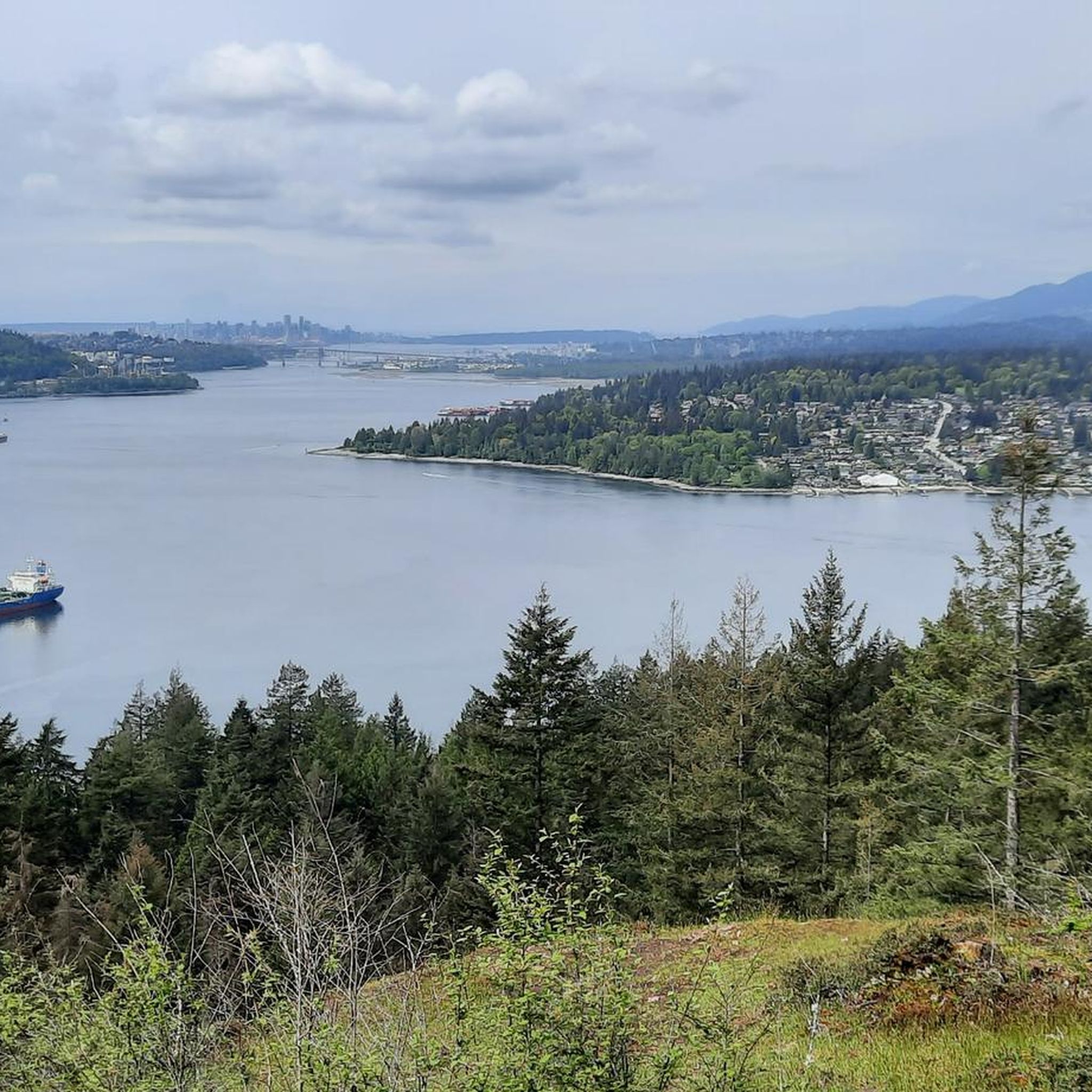
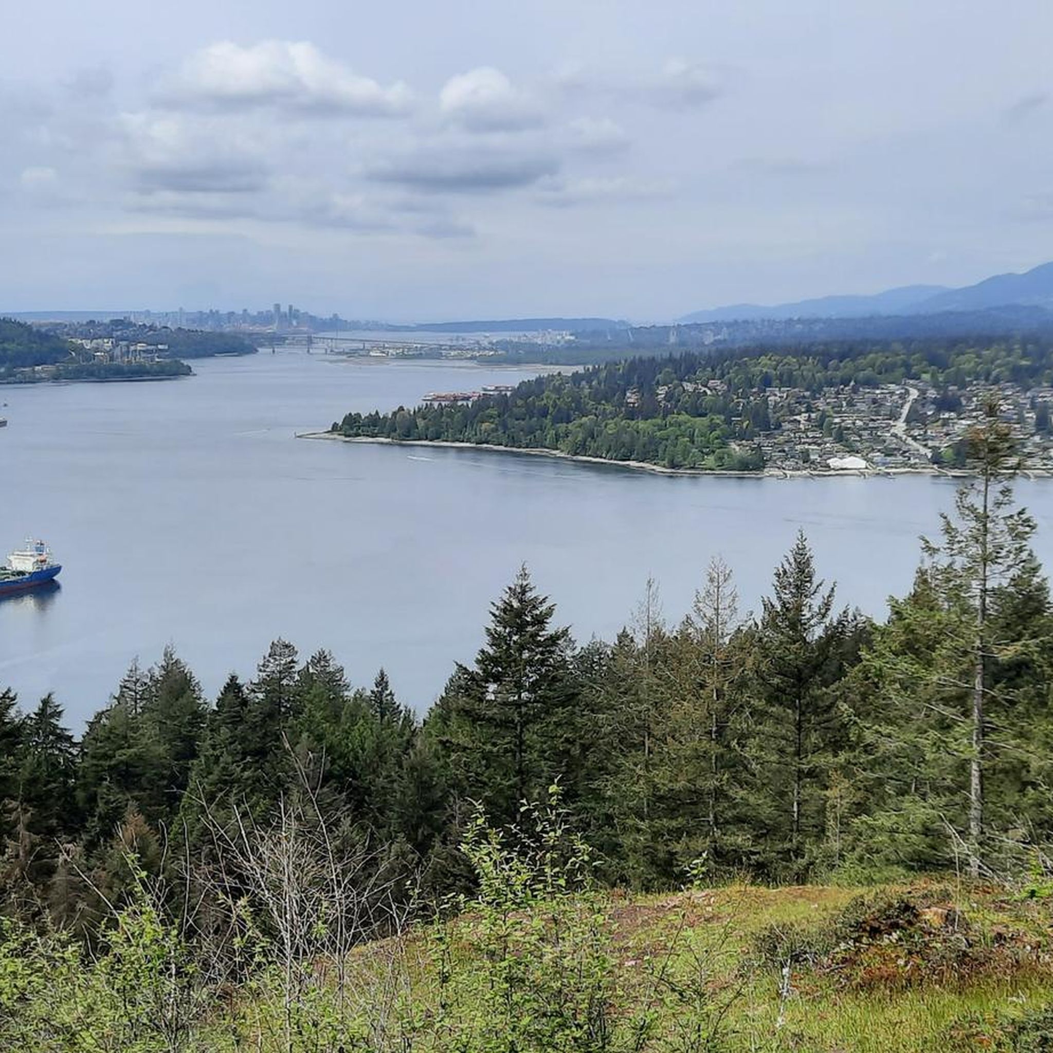
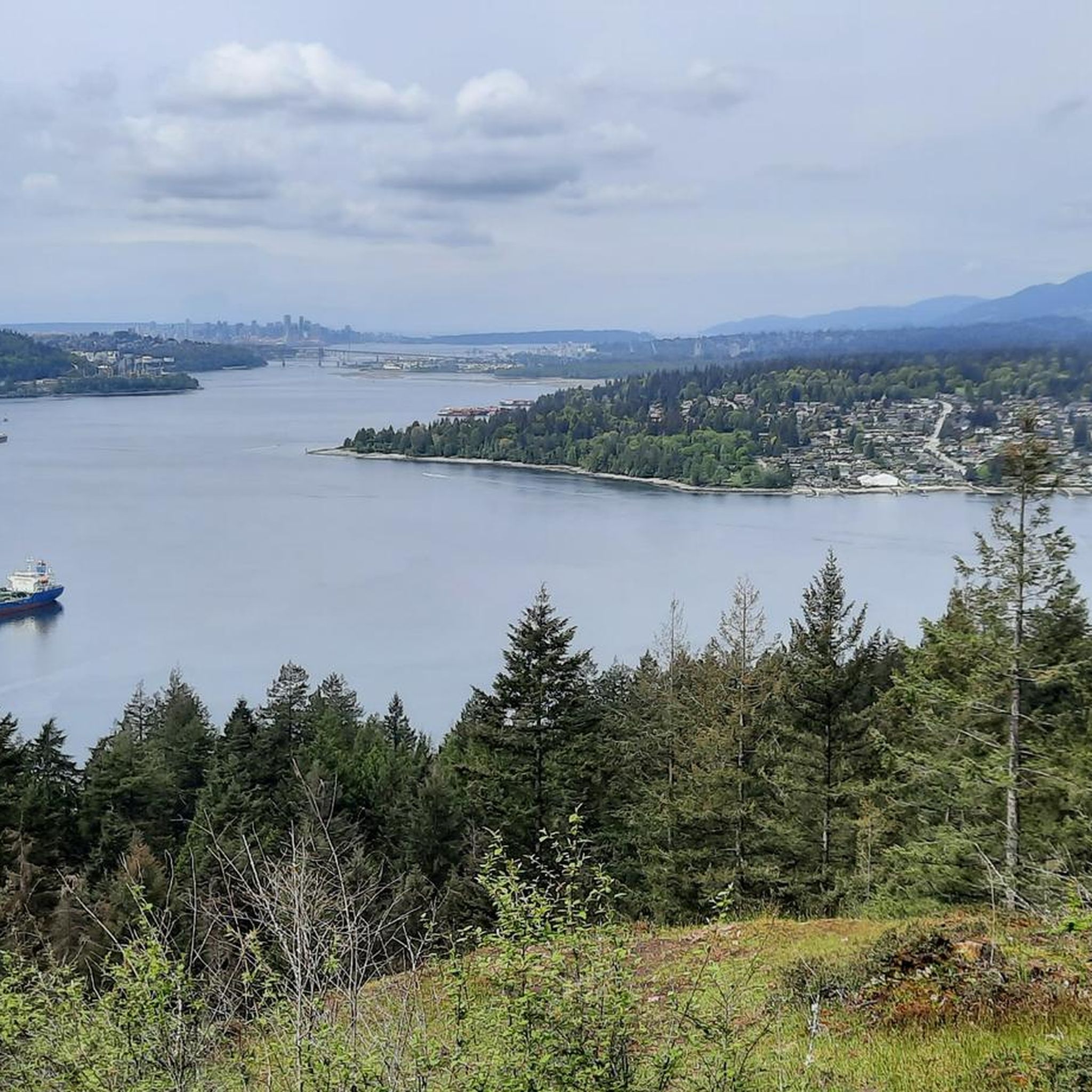
Montrose Park sits perched on the steep bluffs of the Burrard Inlet with great views. Some sights you can see are elevated views of the Ironworkers Memorial Bridge and the Second Narrows Rail Bridge, and the rail bridge will sometimes lift into the air to let large cargo ships pass underneath. This waterway is also a bus shipping lane of the inner Burrard Inlet, dotted with terminals, tugboats, and container ships that fuel Vancouver's port. The Trans Canada Trail cuts through the park as a flat gravel path. This path is open to walking or biking two kilometres east directly into Confederation Park, passing through thick second-growth forests and over small creeks.
0
0
From this point in Bates Park is an elevated viewpoint over two bridges, the newer Ironworkers Memorial Second Narrows Crossing and the older Second Narrows Rail Bridge. The viewpoint is closer to the older bridge that was built in 1925 and once carried both trains and automobiles.
0
0

The view opens onto a slow, meandering river cutting through wide-open farmland — a mix of grassy fields, wetland patches, and hedgerows rather than dense forest crowding the banks.
0
0
This brigde was built through community fundraising efforts led by the Colony Farm Park Association, working in partnership with Metro Vancouver, to give walkers and cyclists a direct river crossing within the park's trail network. It serves as a key junction point: crossing it lets visitors extend a walk into a longer loop, linking the western side of the park near the Community Gardens to the eastern Wilson Farm area, rather than backtracking the way they came.
0
0

So need to use a gravel bike ? Would it be too challenge with road bike?
0
0

Boundary Bay Wildlife Management Area protects a vast stretch of intertidal mudflats, salt marsh, and eelgrass habitat along Boundary Bay. The area supports large numbers of migratory shorebirds and waterfowl, making it one of the most important bird habitats on Canada’s Pacific coast. Its accessible trails, consistent bird activity, and ever-changing tidal scenery make it an especially rewarding place to explore on foot or by bike.
0
0
Frequently Asked Questions
How many gravel bike trails are available in Təmtəmíxʷtən/Belcarra Regional Park?
Təmtəmíxʷtən/Belcarra Regional Park offers nearly 20 gravel biking routes, catering to a range of skill levels from moderate to difficult. These trails traverse diverse landscapes, including forested paths, lake shores, and coastal areas.
What kind of terrain can I expect on gravel bike trails in Təmtəmíxʷtən/Belcarra Regional Park?
You can expect a varied terrain that includes extensive forested trails, shared roads, challenging hills, and even some singletrack sections. The park's landscape features freshwater lakes like Sasamat Lake and saltwater coastline along Indian Arm and Burrard Inlet, providing a dynamic and engaging experience.
Are there gravel biking routes suitable for beginners in Təmtəmíxʷtən/Belcarra Regional Park?
While many routes in the park are moderate to difficult, there are 5 routes specifically categorized as easy, making them suitable for those new to gravel biking or looking for a less strenuous ride. These trails often provide a gentler introduction to the park's scenic beauty.
What is the difficulty range for gravel biking in Təmtəmíxʷtən/Belcarra Regional Park?
The gravel biking routes in Təmtəmíxʷtən/Belcarra Regional Park range from moderate to difficult. There are 4 moderate routes and 10 difficult routes, offering options for riders seeking both enjoyable and challenging experiences.
Are there challenging gravel routes for experienced riders in the park?
Yes, experienced riders will find plenty of challenges with 10 routes rated as difficult. These often feature significant elevation gain and varied terrain, such as the Barnet Marine Park loop from Moody Centre, which offers views of the Burrard Inlet and demanding sections.
What do other gravel bikers enjoy most about Təmtəmíxʷtən/Belcarra Regional Park?
The area is highly rated by the komoot community, with an average score of 4.5 stars from over 70 reviews. Riders often praise the park's diverse terrain, from coastal views to deep forest routes, and the engaging experience it offers for various skill levels.
Are there any circular gravel biking routes in Təmtəmíxʷtən/Belcarra Regional Park?
Yes, many of the gravel biking routes in the park are designed as loops, allowing you to start and end at the same point. An example is the Central Valley Greenway – Pitt River Bridge loop from Production Way–University, which connects urban greenways with scenic bridge crossings.
What are some scenic viewpoints or attractions along the gravel bike trails?
The park offers several scenic spots. You can find coastal vistas at Maple Beach and Admiralty Point. The Belcarra Lookout also provides stunning views. These areas are often accessible via the park's extensive trail network.
Are there any family-friendly options for gravel biking in Təmtəmíxʷtən/Belcarra Regional Park?
While the park has many challenging routes, there are 5 easy routes that can be more suitable for families or those looking for a relaxed ride. The varied terrain ensures that you can find paths that match your family's comfort and skill level.
Is public transport available to access gravel biking trails in Təmtəmíxʷtən/Belcarra Regional Park?
Yes, public transport can get you close to some starting points for gravel biking routes. For example, routes like the Barnet Marine Park loop start from areas like Moody Centre, which are accessible by public transit.
Where can I find parking for gravel biking in Təmtəmíxʷtən/Belcarra Regional Park?
The park offers various parking areas, including at the Belcarra Picnic Area, which provides access to Belcarra Bay. Specific trailheads may have designated parking, so it's advisable to check the starting point of your chosen route for the most convenient parking options.
Can I connect to other trail networks from Təmtəmíxʷtən/Belcarra Regional Park?
Yes, the park's trail system can connect to nearby areas, offering even more extensive riding opportunities. For instance, you can find routes that link towards Buntzen Lake trails, expanding your gravel biking adventure.
Are there any places to swim near the gravel biking routes?
Sasamat Lake, located within the park, is one of Metro Vancouver's warmest lakes and a popular spot for swimming, particularly at White Pine Beach. It features a sandy area and a floating walkway, making it a great place to cool off after a ride.
Most popular routes in Təmtəmíxʷtən/Belcarra Regional Park
Most popular attractions in Təmtəmíxʷtən/Belcarra Regional Park

Get inspired with the komoot mobile app


Explore more
Browse the best Gravel rides in other regions.
