Easy hikes and walks around Lieberoser Endmoräne - Luboraska kóńcna morena
4.5
(3557)
14,083
hikers
486
hikes
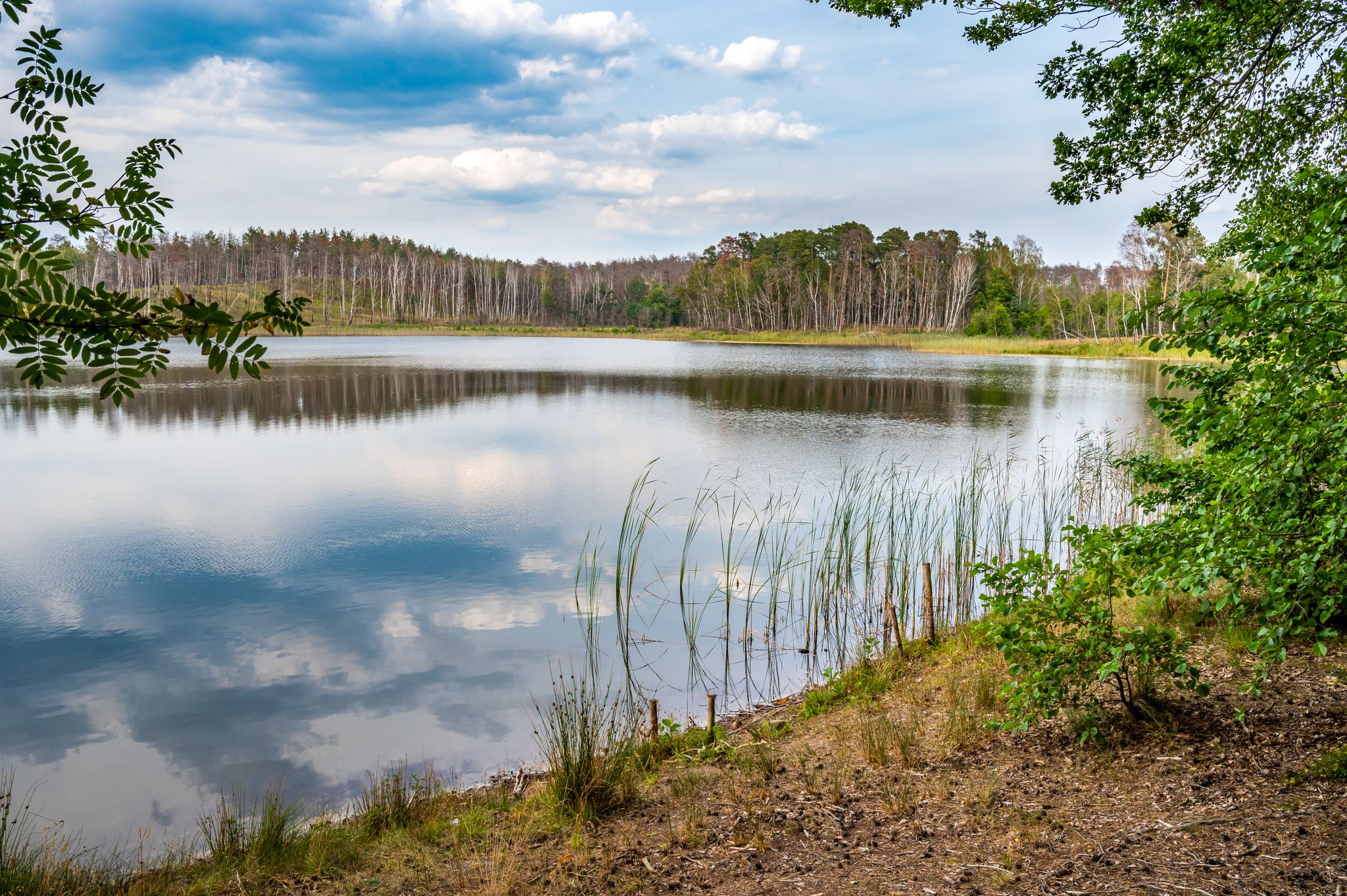
Easy hiking trails around Lieberoser Endmoräne - Luboraska kóńcna morena traverse a landscape shaped by the Weichsel Ice Age, featuring a hilly end moraine. The region includes extensive heathlands, vast pine forests, and diverse moor and wetland ecosystems. Notable features also include a nutrient-poor sand landscape with inland dunes and numerous lakes and ponds.
Best easy hiking trails around Lieberoser Endmoräne - Luboraska kóńcna morena
- The most popular easy hiking route is The view Wilderness - Experience the Lieberose wilderness…
Last updated: May 19, 2026
4.8
(25)
64
hikers
Easy hike. Great for any fitness level. Easily-accessible paths. Suitable for all skill levels.
1
hikers
Easy hike. Great for any fitness level. Easily-accessible paths. Suitable for all skill levels.

Sign up for free
4.5
(6)
22
hikers
6.54km
01:41
30m
30m
Easy hike. Great for any fitness level. Easily-accessible paths. Suitable for all skill levels.
5.0
(2)
18
hikers
Easy hike. Great for any fitness level. Easily-accessible paths. Suitable for all skill levels.
5.0
(1)
6
hikers
Easy hike. Great for any fitness level. Easily-accessible paths. Suitable for all skill levels.
Get access to more routes and recommendations from other explorers.
Sign up for free
Already have an account?
Our route recommendations are based on thousands of hikes, rides, and runs completed by other people on komoot.
Start today with a free account
Your next adventure awaits.
Login or Signup
Popular around Lieberoser Endmoräne - Luboraska kóńcna morena
Other adventures around Lieberoser Endmoräne - Luboraska kóńcna morena

Tips from the Community

Start from the Bergsee circular trail and some useful information on the information board
0
0


Not an officer's hill but the general's hill
0
0
It is very quiet and peaceful in the Lieberos Heath. But the area hasn't always been as peaceful and tranquil as it is today. The largest military exercise took place here in 1970, when the Warsaw Pact states held their first large-scale joint exercise, "Brotherhood in Arms." The exercise was observed from Generalshügel (General's Hill). (Leonid Brezhnev, Walter Ulbricht, Erich Honecker, and Raul Castro) Over 50,000 soldiers are said to have been deployed in Lieberose alone. The area is heavily contaminated with munitions. Germany's largest desert is increasingly becoming a steppe landscape. The grandstand on Generalshügel has been rebuilt in accordance with historic preservation regulations and is now the centerpiece of the Succession Park.
0
0
Here you have time to rest and relax
0
0
Not much remains of the landing site. There were six helicopter landing platforms for the Warsaw Pact leadership and generals.
0
0


Beautiful, quiet area for hiking.
1
0
Frequently Asked Questions
How many easy hiking trails are available in Lieberoser Endmoräne - Luboraska kóńcna morena?
The Lieberoser Endmoräne region offers a wide selection of easy hiking trails, with over 280 routes specifically categorized as easy. This allows for diverse choices suitable for various preferences and fitness levels.
What kind of landscapes can I expect on easy hikes in Lieberoser Endmoräne?
Easy hikes in the Lieberoser Endmoräne will lead you through a unique landscape shaped by the Ice Age. You'll encounter extensive heathlands, vast pine forests, and diverse moor and wetland ecosystems. The region also features nutrient-poor sand landscapes with inland dunes and numerous serene lakes and ponds, such as the Byhlener See.
What do other hikers say about the easy trails in Lieberoser Endmoräne?
The easy hiking routes in Lieberoser Endmoräne are highly regarded by the komoot community, holding an impressive average rating of 4.5 stars from over 1190 reviews. Hikers often praise the region's diverse natural beauty and the well-maintained paths that make exploring accessible.
When is the best time of year for easy hikes in Lieberoser Endmoräne?
The Lieberoser Endmoräne is beautiful year-round, but spring and summer are particularly appealing. In spring, the heathlands come alive with vibrant purple, pink, and yellow flowers, creating a stunning visual display. The milder temperatures also make for comfortable hiking.
Are there family-friendly easy hiking options in the Lieberoser Endmoräne?
Yes, many easy trails are suitable for families. Routes like The Star Trail - Experience the Lieberose Wilderness Area are short and provide an accessible way to experience the wilderness. The The view Wilderness - Experience the Lieberose wilderness area is another gentle option, offering insights into the designated wilderness area.
Can I bring my dog on the easy hiking trails?
Generally, dogs are welcome on trails in the Lieberoser Endmoräne. However, as parts of the region are designated wilderness and nature conservation areas, it's crucial to keep dogs on a leash to protect local wildlife and ecosystems, especially near sensitive moorlands like the Butzener Bagen Moor.
Are there any circular easy hiking routes?
Yes, the region features several excellent circular routes. A popular choice is the Großer Ziestsee – Butzener Bagen Moor loop from Butzener Bagen, which takes you through moorland and past lakes. Another option is the Byhlener Lake – Pintschens Spring loop from Byhleguhre-Byhlen, offering scenic views around the lake.
What interesting sights or landmarks can I see on an easy hike?
Along easy hikes, you can discover various points of interest. The Ramp VI – Timber loading site is a historical replica offering a glimpse into the region's past. You might also pass by the Butzener Bagen Moor, known for its rare plants and animals, or the idyllic Byhlener See Bathing Area and Dock.
Are there viewpoints on the easy trails?
While the Lieberoser Endmoräne is generally gently undulating, some areas offer elevated perspectives. You can find interesting views from spots like the Generalshügel Observation Bunker. Hiking routes also pass by Bismarckhöhe and the Eichberg, providing views of the town of Lieberose.
How long do easy hikes typically take in this region?
The duration of easy hikes varies. Shorter trails like The Star Trail can be completed in under an hour, while longer loops such as the Großer Ziestsee – Butzener Bagen Moor loop typically take around 1 hour 40 minutes, depending on your pace.
Where can I park for easy hiking trails in Lieberoser Endmoräne?
Parking is available at various points around the region. For instance, the Bergsee Parking Area is a convenient starting point for several easy trails, including the Bergsee Parking Area – Butzener Bagen Moor loop from Butzen - Bucyn.
What kind of wildlife might I see on an easy hike?
The Lieberoser Endmoräne is rich in biodiversity. On an easy hike, you might spot rare and endangered species such as various bird species like nightjars and woodlarks, or even moor frogs in wetland areas. The region is also home to larger mammals, though they are more elusive.
Most popular routes around Lieberoser Endmoräne - Luboraska kóńcna morena
Most popular attractions around Lieberoser Endmoräne - Luboraska kóńcna morena

Get inspired with the komoot mobile app


Explore more
Browse the best Hikes in other regions.
