The best gravel rides around Lieberoser Endmoräne - Luboraska kóńcna morena
5.0
(10)
112
riders
3
rides
Gravel biking around Lieberoser Endmoräne - Luboraska kóńcna morena features a landscape shaped by glacial activity, offering varied terrain suitable for gravel cyclists. The region is characterized by rolling hills, extensive pine and deciduous forests, and a network of paths that traverse open fields and alongside waterways. Elevations are generally moderate, with most routes involving ascents under 200 meters. These conditions provide a mix of surfaces, from compacted gravel to forest tracks, ideal for gravel bikes.
Best gravel bike trails…
Last updated: July 17, 2026
1
riders
Easy gravel ride. Great for any fitness level. Mostly paved surfaces. Suitable for all skill levels.
2
riders
Easy gravel ride. Great for any fitness level. Mostly paved surfaces. Suitable for all skill levels.

Sign up for free
5.0
(3)
45
riders
Easy gravel ride. Great for any fitness level. Mostly paved surfaces. Suitable for all skill levels.
5.0
(6)
46
riders
Easy gravel ride. Great for any fitness level. Mostly paved surfaces. Suitable for all skill levels.
Our route recommendations are based on thousands of hikes, rides, and runs completed by other people on komoot.
Start today with a free account
Your next adventure awaits.
Login or Signup
Popular around Lieberoser Endmoräne - Luboraska kóńcna morena
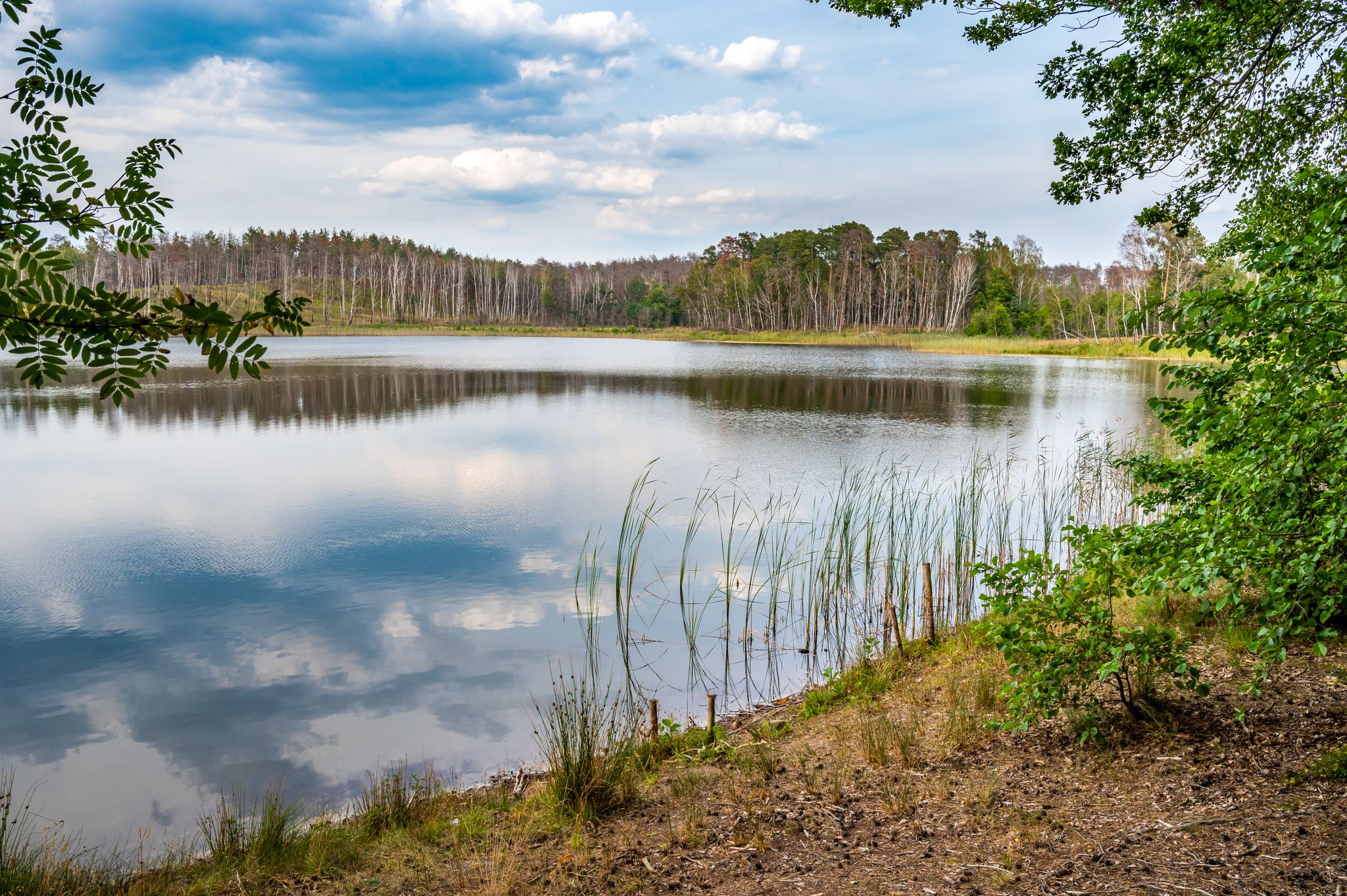
Experience the wilderness area of Lieberose
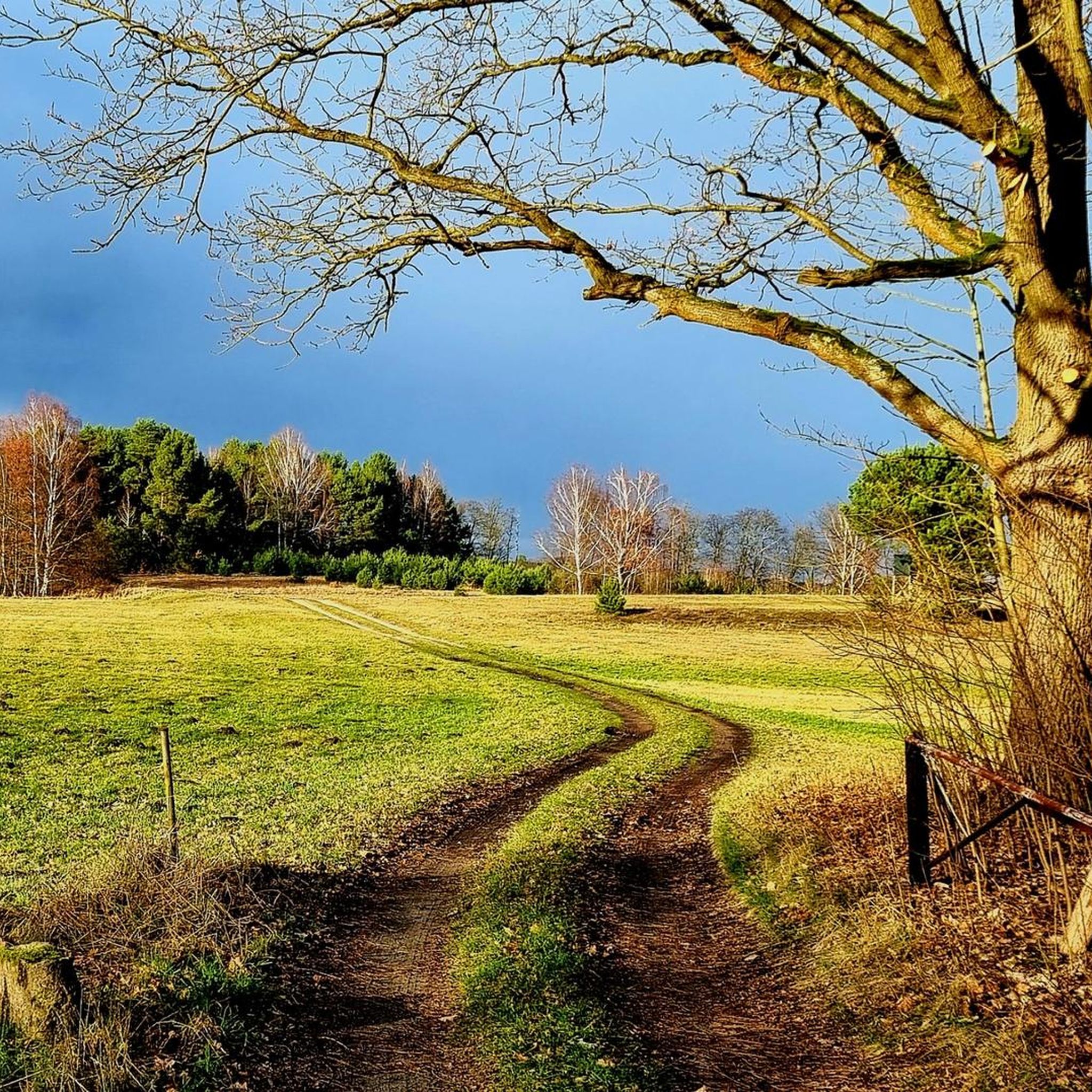
Hiking around Lieberoser Endmoräne - Luboraska kóńcna morena
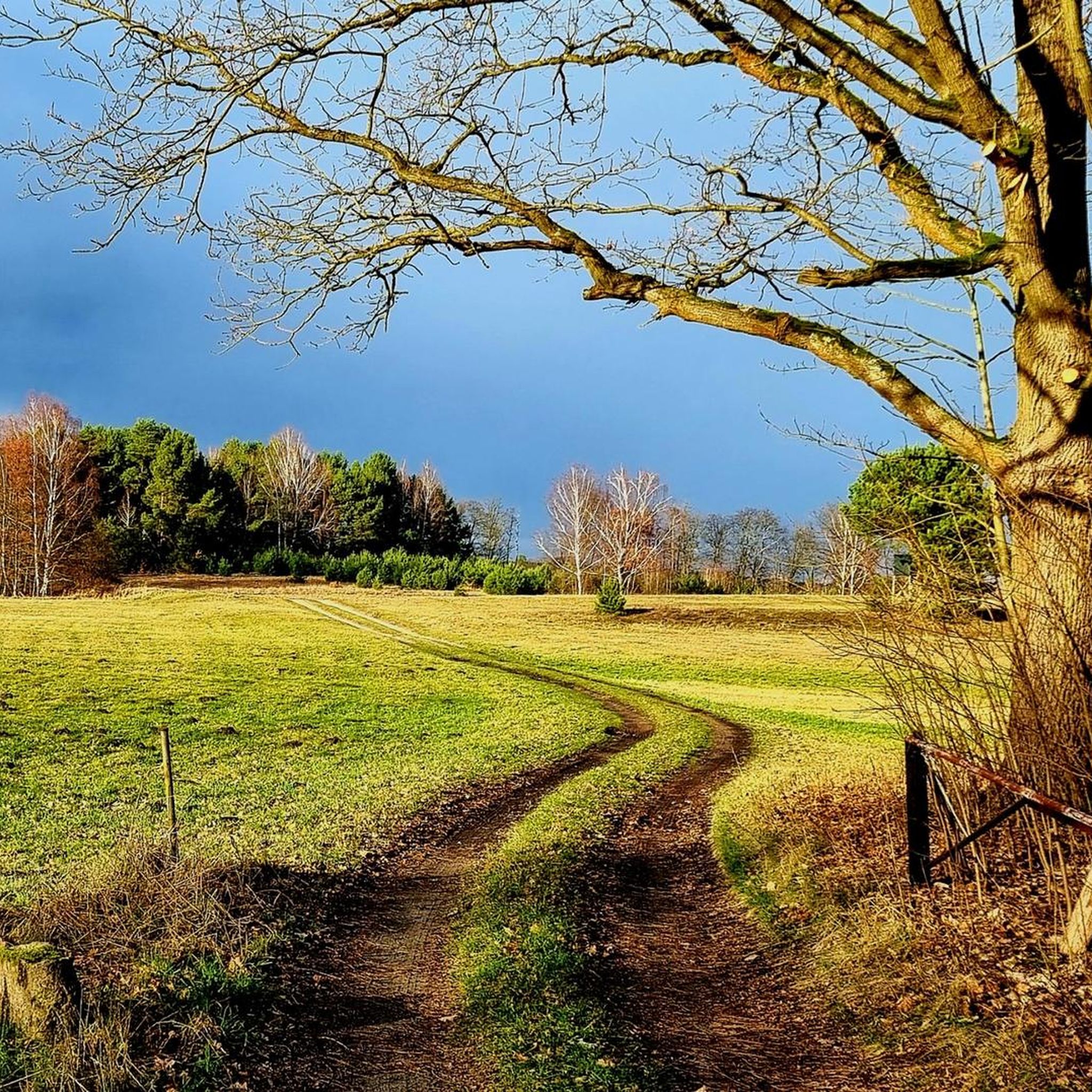
Cycling around Lieberoser Endmoräne - Luboraska kóńcna morena
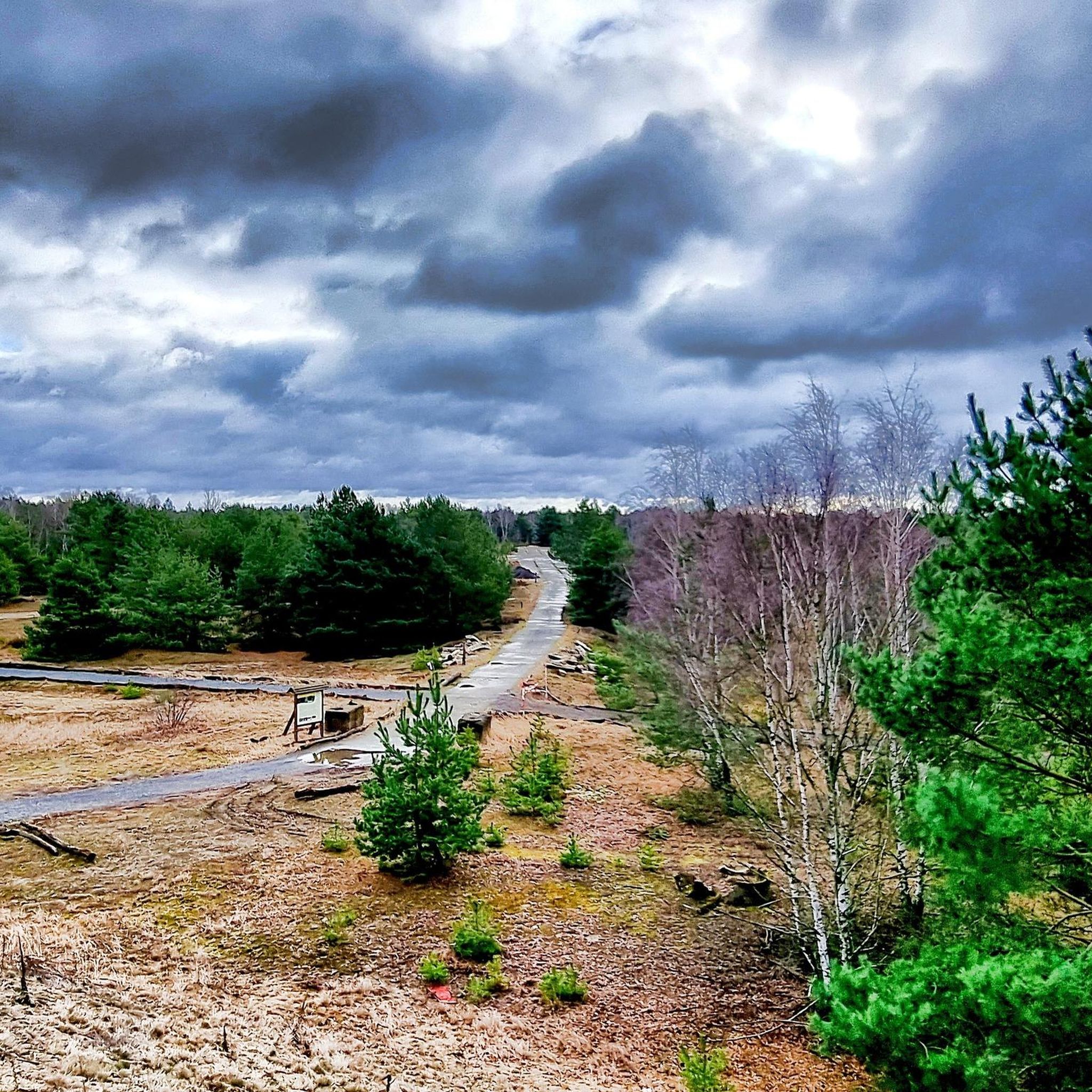
MTB Trails around Lieberoser Endmoräne - Luboraska kóńcna morena
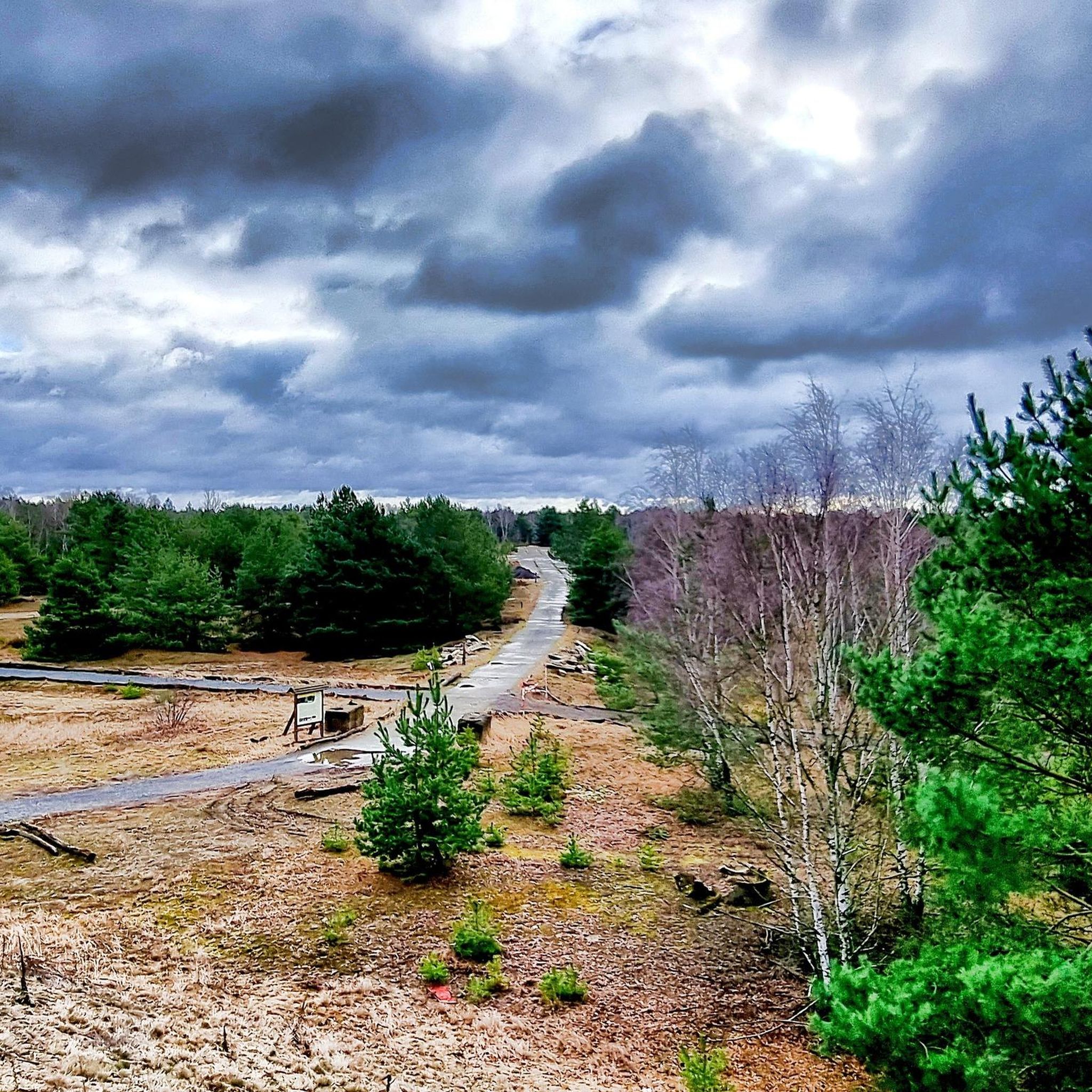
Running Trails around Lieberoser Endmoräne - Luboraska kóńcna morena
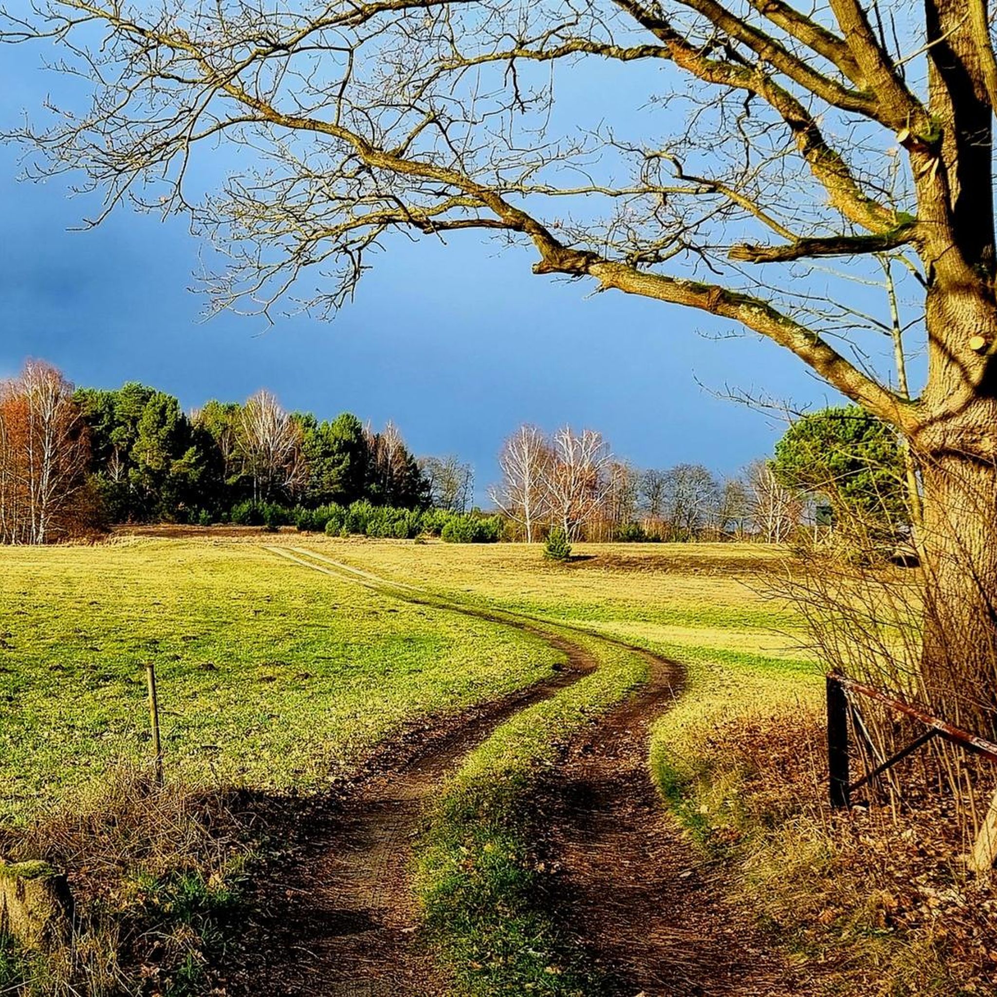
Road Cycling Routes around Lieberoser Endmoräne - Luboraska kóńcna morena
Other adventures around Lieberoser Endmoräne - Luboraska kóńcna morena

Tips from the Community

Really beautiful here, but also with endless mosquitoes 🤙
1
0

Attention! "Fontaneweg" from the direction of Nordumfluter towards the hotel "Eiche" is currently a dead end. The last bridge, shortly before the hotel "Eiche", is impassable due to significant damage!
0
0

Start from the Bergsee circular trail and some useful information on the information board
0
0

Beautiful cycle path along the river
1
0
It's a very beautiful route, only the small bridges were tiring on the bikes.
0
1

Great light! Great green in 1,000 variations!
0
0

Fantastic landscape in and around the "Gurkenradweg". The cycle paths are lined with many bridges that lead over the small canals.
0
0

The Spreewald is a very special landscape. The Spree, the alder forests, the canalized fields and the small hamlets have a very special charm.
2
0
Frequently Asked Questions
How many gravel bike trails are available in Lieberoser Endmoräne - Luboraska kóńcna morena?
The Lieberoser Endmoräne region offers a selection of 7 gravel bike trails. These routes cater to various skill levels, with 3 easy and 4 moderate options.
Are there easy gravel bike trails suitable for beginners in Lieberoser Endmoräne?
Yes, there are several easy gravel bike trails perfect for beginners. One popular option is the Wild Path Information Board – Old Post Road loop from Butzen - Bucyn, which is 10.1 miles (16.3 km) long and features a mix of natural paths and historical road sections.
What kind of elevation can I expect on gravel bike routes in this region?
The Lieberoser Endmoräne region is characterized by rolling hills and glacial activity, but elevations are generally moderate. Most routes involve ascents under 200 meters, making them accessible for a wide range of cyclists.
Are there any challenging gravel bike trails for experienced riders?
While there are no routes classified as 'difficult' in this guide, several moderate trails offer a good challenge. For instance, the Mochow–Goyatz Forest Road – Ramp VI – Timber loading site loop from Saccasne - Zakazńa covers 28.8 miles (46.3 km) through forest roads and past industrial heritage sites, providing a longer ride with varied terrain.
Are there family-friendly gravel biking options in Lieberoser Endmoräne?
The region's easy and moderate trails, with their generally moderate elevations and varied surfaces, can be suitable for families. The Wild Path Information Board – Old Post Road loop from Butzen - Bucyn is a shorter, easier option that families might enjoy.
What are the typical trail conditions for gravel biking in this area?
The trails in Lieberoser Endmoräne offer a mix of surfaces, from compacted gravel to forest tracks. You'll encounter paths traversing open fields, alongside waterways, and through extensive forests, all shaped by the region's glacial landscape.
Are there circular gravel bike routes available?
Yes, many of the gravel bike routes in the Lieberoser Endmoräne are designed as loops. Examples include the Großer Fließ Cycle Path – Hauptspree Canal in Spreewald loop from Lieberose/Oberspreewald and the View of the Schwielochsee – Leibnitz Hand-Pulled Ferry loop from Speichrow - Spěcharjow, offering convenient starting and ending points.
Where can I find parking for gravel biking in Luboraska kóńcna morena?
Parking is available at various points throughout the region. For example, the Bergsee Parking Area is a known spot that can serve as a starting point for your rides.
Are there good viewpoints or interesting landmarks along the gravel bike trails?
Yes, the region offers several points of interest. You can find viewpoints like the Generalshügel Observation Bunker and the Lieberoser Desert Observation Deck. Additionally, historical sites like Ramp VI – Timber loading site are along some routes.
Is it possible to spot wildlife while gravel biking in Lieberoser Endmoräne?
Given the extensive forests, natural areas, and moorlands like Butzener Bagen Moor, the region provides opportunities for wildlife spotting. Keep an eye out, especially in quieter sections of the trails.
What do other gravel bikers enjoy the most about gravel biking in Lieberoser Endmoräne?
The area is highly rated by the komoot community, with an average score of 4.8 stars. Reviewers often praise the varied terrain, the mix of natural paths and historical sections, and the peaceful atmosphere of the dense woodlands and riverside paths.
When is the best time of year for gravel biking in Lieberoser Endmoräne?
The region is generally pleasant for gravel biking from spring through autumn, when the weather is mild and the trails are dry. The extensive forests provide shade during warmer months, and the varied landscape offers beautiful scenery as the seasons change.
Most popular routes around Lieberoser Endmoräne - Luboraska kóńcna morena
Most popular attractions around Lieberoser Endmoräne - Luboraska kóńcna morena

Get inspired with the komoot mobile app


Explore more
Browse the best Gravel rides in other regions.
