The best walks and hikes around Lieberoser Endmoräne - Luboraska kóńcna morena
4.5
(3530)
14,035
hikers
26
hikes
Hiking trails around Lieberoser Endmoräne - Luboraska kóńcna morena traverse a landscape shaped by the Ice Age, featuring a mix of glacial depressions, valleys, and diverse forest types. The region includes extensive pine and deciduous forests, alongside dry sand heaths and the unique Lieberose Desert, Central Europe's second-largest desert. This area, a former military training ground, is now a protected wilderness, offering varied habitats for wildlife. The terrain generally presents gentle elevation changes, making it accessible for various hiking abilities.
…Last updated: May 16, 2026
4.7
(82)
242
hikers
8.10km
02:05
40m
40m
Moderate hike. Good fitness required. Mostly accessible paths. Sure-footedness required.
4.8
(25)
64
hikers
Easy hike. Great for any fitness level. Easily-accessible paths. Suitable for all skill levels.

Sign up for free
4.0
(4)
17
hikers
Moderate hike. Great for any fitness level. Mostly accessible paths. Sure-footedness required.
1
hikers
Easy hike. Great for any fitness level. Easily-accessible paths. Suitable for all skill levels.
4.5
(6)
22
hikers
6.54km
01:41
30m
30m
Easy hike. Great for any fitness level. Easily-accessible paths. Suitable for all skill levels.
Get access to more routes and recommendations from other explorers.
Sign up for free
Already have an account?
Our route recommendations are based on thousands of hikes, rides, and runs completed by other people on komoot.
Start today with a free account
Your next adventure awaits.
Login or Signup
Popular around Lieberoser Endmoräne - Luboraska kóńcna morena
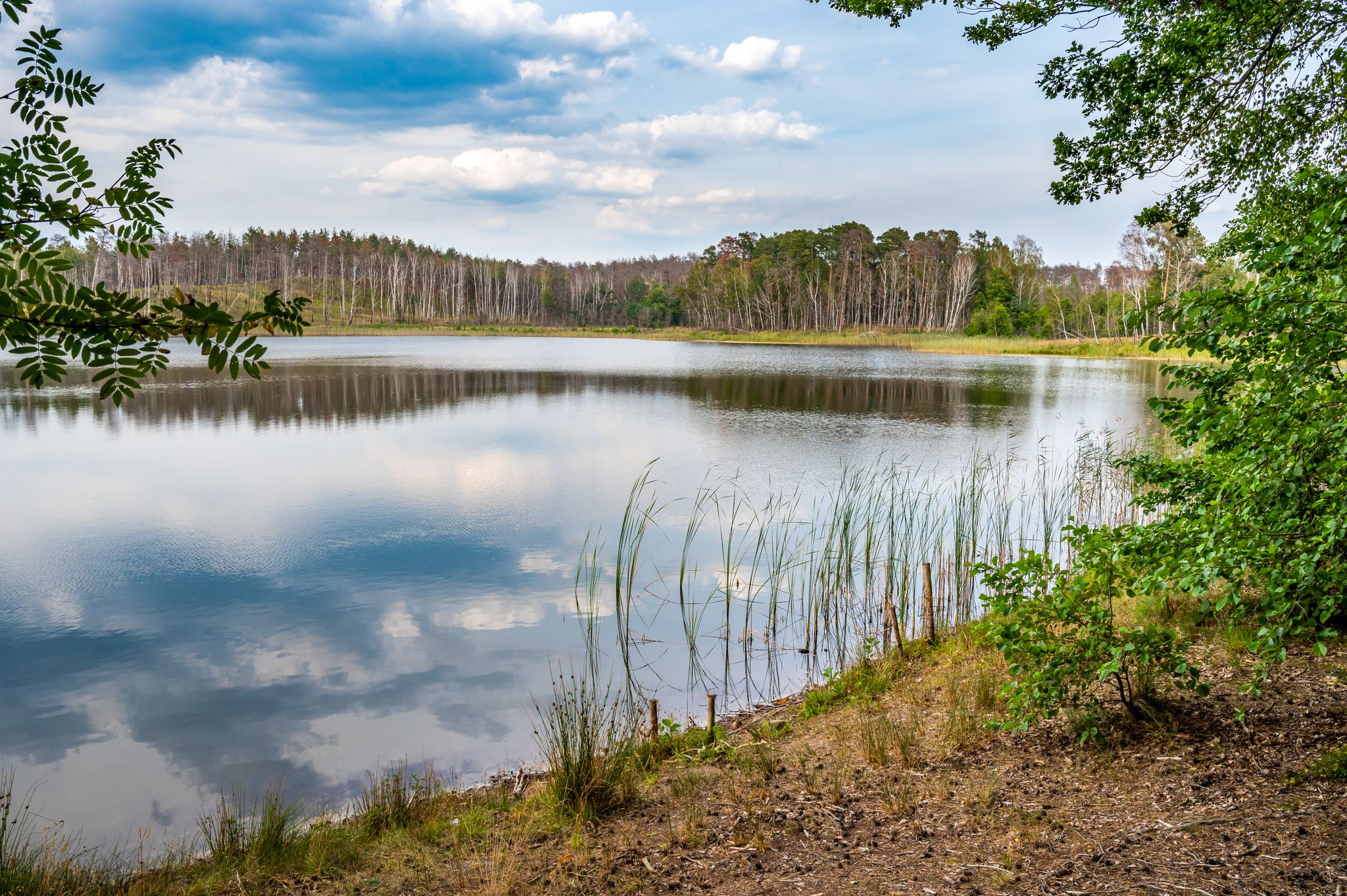
Experience the wilderness area of Lieberose
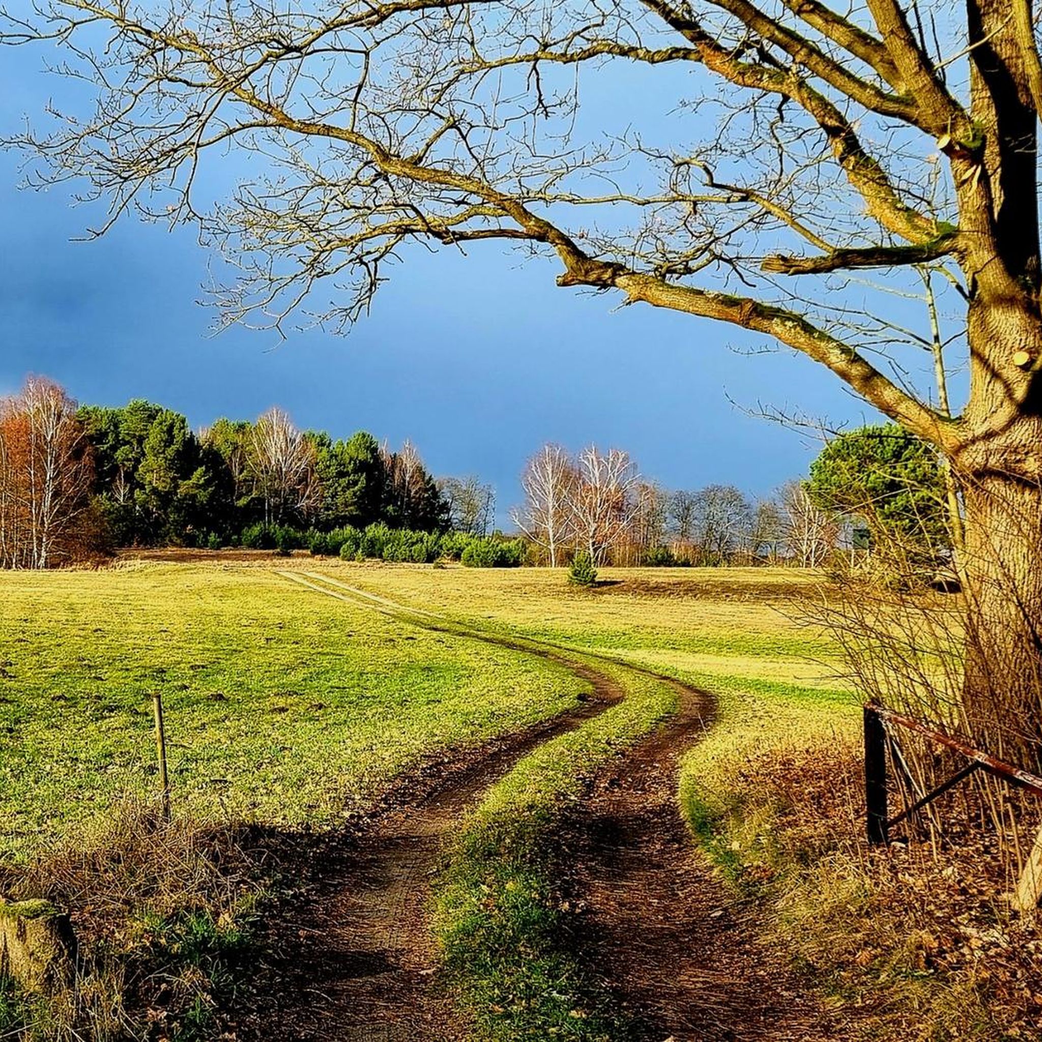
Cycling around Lieberoser Endmoräne - Luboraska kóńcna morena
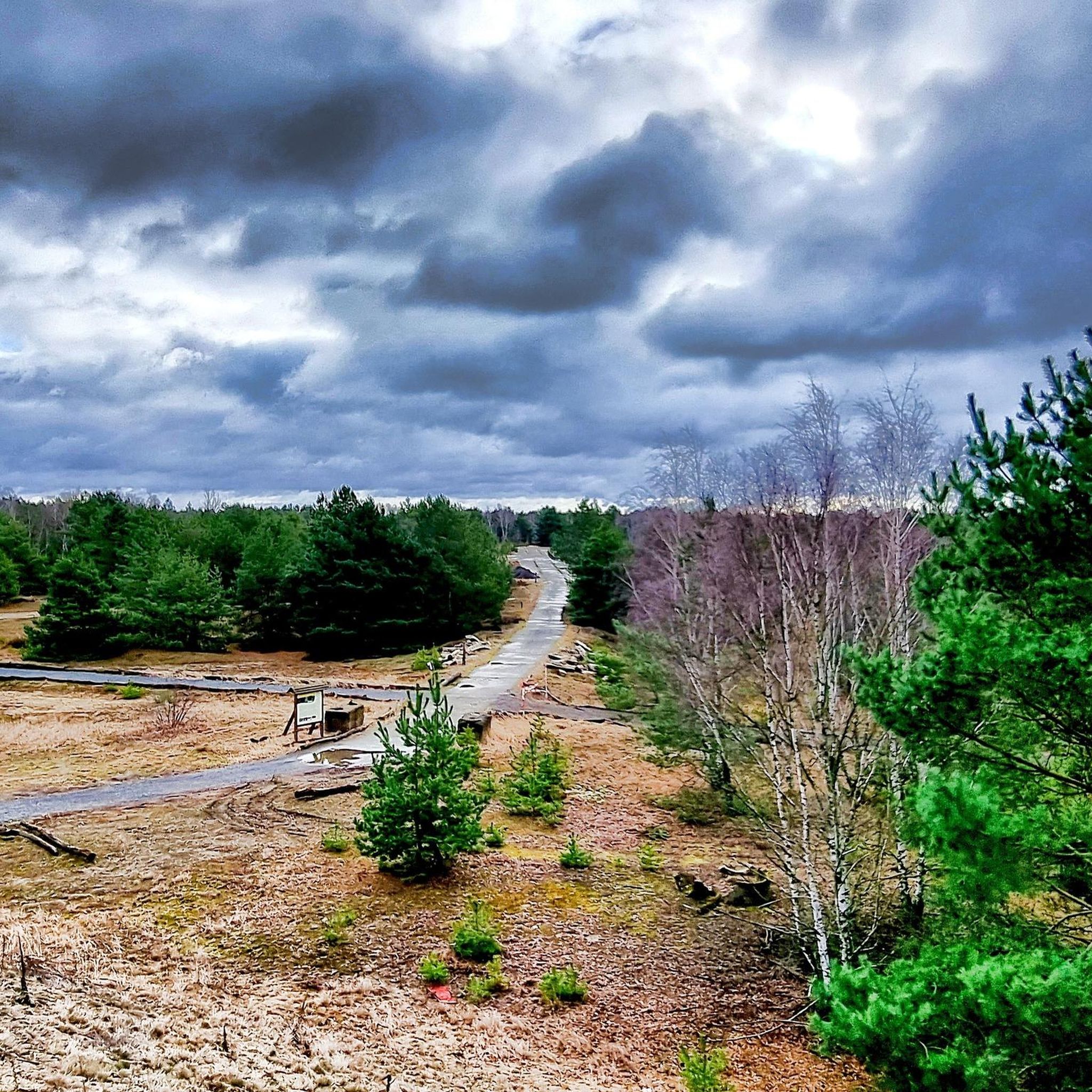
MTB Trails around Lieberoser Endmoräne - Luboraska kóńcna morena
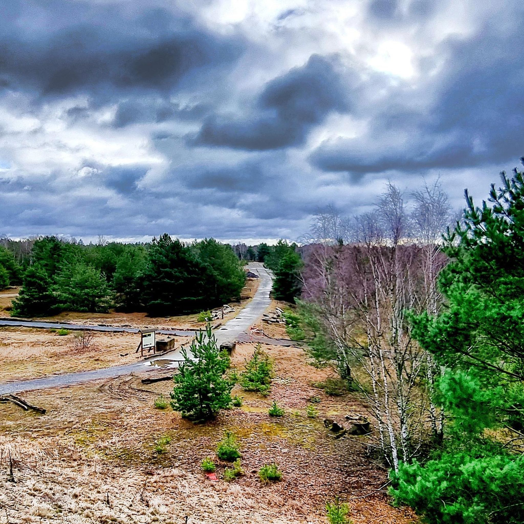
Running Trails around Lieberoser Endmoräne - Luboraska kóńcna morena
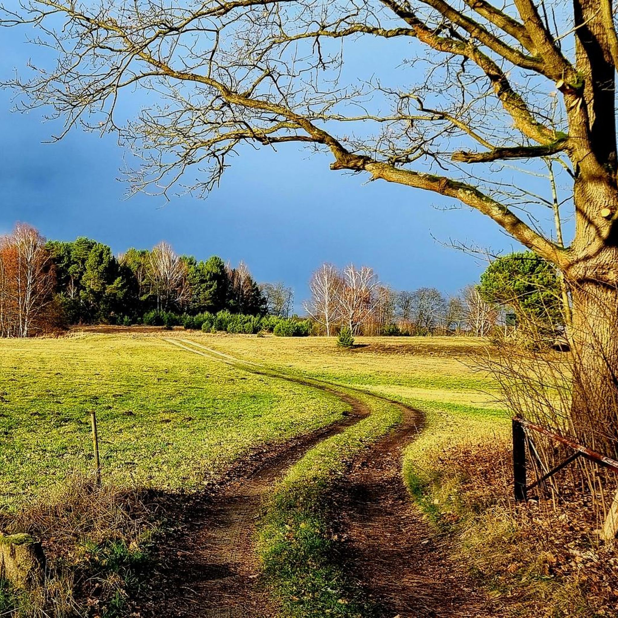
Road Cycling Routes around Lieberoser Endmoräne - Luboraska kóńcna morena
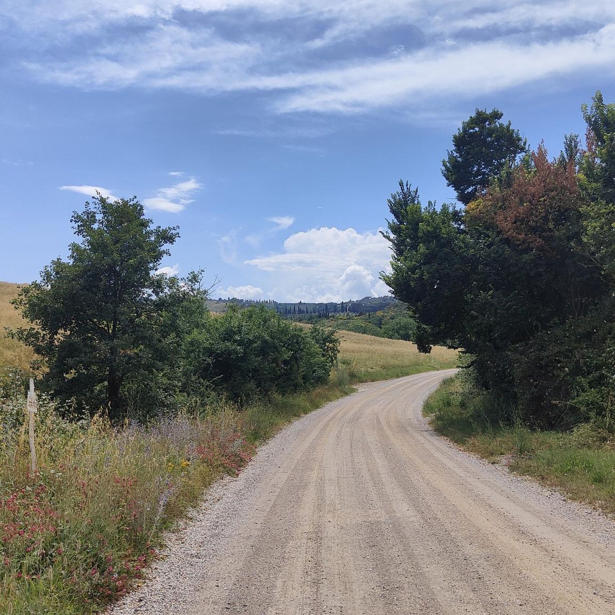
Gravel biking around Lieberoser Endmoräne - Luboraska kóńcna morena
Other adventures around Lieberoser Endmoräne - Luboraska kóńcna morena

Tips from the Community

Start from the Bergsee circular trail and some useful information on the information board
0
0

Not an officer's hill but the general's hill
0
0
It is very quiet and peaceful in the Lieberos Heath. But the area hasn't always been as peaceful and tranquil as it is today. The largest military exercise took place here in 1970, when the Warsaw Pact states held their first large-scale joint exercise, "Brotherhood in Arms." The exercise was observed from Generalshügel (General's Hill). (Leonid Brezhnev, Walter Ulbricht, Erich Honecker, and Raul Castro) Over 50,000 soldiers are said to have been deployed in Lieberose alone. The area is heavily contaminated with munitions. Germany's largest desert is increasingly becoming a steppe landscape. The grandstand on Generalshügel has been rebuilt in accordance with historic preservation regulations and is now the centerpiece of the Succession Park.
0
0
Here you have time to rest and relax
0
0
Not much remains of the landing site. There were six helicopter landing platforms for the Warsaw Pact leadership and generals.
0
0

Beautiful, quiet area for hiking.
1
0
Beautiful, quiet area for hiking.
1
0
Beautiful, quiet area for hiking.
2
0
Frequently Asked Questions
How many hiking trails are available in the Lieberoser Endmoräne?
The Lieberoser Endmoräne offers over 25 hiking trails, catering to various fitness levels. You'll find a good mix of easy walks and moderate hikes, ensuring there's something for everyone to explore in this unique glacial landscape.
What kind of terrain can I expect when hiking in the Lieberoser Endmoräne?
The terrain in the Lieberoser Endmoräne is shaped by its glacial origins, featuring gentle elevation changes across a diverse landscape. You'll encounter extensive pine and deciduous forests, dry sand heaths, and the unique sandy expanse of the Lieberose Desert. The paths are generally well-maintained, but some areas might be sandy.
Are there any family-friendly hiking routes in the Lieberoser Endmoräne?
Yes, the region offers several easy routes suitable for families. For instance, The Star Trail is a shorter, easy option perfect for a leisurely walk with children, allowing them to experience the wilderness without extensive effort.
Can I bring my dog on the hiking trails in the Lieberoser Endmoräne?
Yes, dogs are generally welcome on the hiking trails. However, due to the presence of diverse wildlife, including rare species like the wolf and otter, it is strongly advised to keep dogs on a leash to protect the local fauna and ensure their safety.
What are some notable natural features or landmarks to look out for during a hike?
Hikers can discover several unique features. The Lieberose Desert, Central Europe's second-largest desert, is a striking sandy expanse. You might also encounter the Butzener Bagen Moor, a valuable wetland area, or the Rampe VI – Timber loading site, a historical point of interest with a replica loading ramp and an Alemannic hut.
Are there any circular hiking routes available?
Yes, there are several circular routes. A popular choice is the Circular route around the mountain lake, which offers varied forest and lakeside scenery, providing a pleasant loop for hikers.
Where can I park my car when visiting the Lieberoser Endmoräne trails?
Parking is available at various access points to the trails. A convenient option is the Bergsee Parking Area, which provides easy access to routes around the Bergsee and other parts of the wilderness area.
What is the best time of year to hike in the Lieberoser Endmoräne?
The Lieberoser Endmoräne is beautiful year-round, but spring and autumn offer particularly pleasant conditions with mild temperatures and vibrant colors. Summer is also great, especially for enjoying the lakes, while winter can provide a serene, snow-covered landscape, though some paths might be less accessible.
What do other hikers enjoy most about the Lieberoser Endmoräne?
The area is highly rated by the komoot community, with an average score of 4.5 stars. Reviewers often praise the unique wilderness experience, the diverse landscapes ranging from forests to sandy deserts, and the tranquility of the former military training ground that has now become a nature retreat.
Are there any viewpoints or scenic spots along the trails?
Yes, the region offers several scenic spots. The The view Wilderness trail, for example, provides excellent vistas across the open, sandy landscapes characteristic of the Lieberose Desert. You can also find the Generalshügel Observation Bunker, which offers a unique perspective on the area.
Are there any places to eat or get refreshments near the hiking trails?
While the Lieberoser Endmoräne is primarily a wilderness area, you can find cafes and restaurants in nearby towns and villages surrounding the nature reserve. It's advisable to check local listings for options in places like Lieberose or Byhleguhre-Byhlen before your hike.
What is the 'Wilderness Trail' and what does it offer?
The Wilderness Trail is a moderate 8.1 km route that allows visitors to immerse themselves in the ongoing wilderness development of the Lieberose area. It's an excellent way to experience the natural regeneration of the former military training ground and observe its diverse habitats.
Most popular routes around Lieberoser Endmoräne - Luboraska kóńcna morena
Most popular attractions around Lieberoser Endmoräne - Luboraska kóńcna morena

Get inspired with the komoot mobile app


Explore more
Browse the best Hikes in other regions.
