Lsg Innerhalb Des Naturparks Steigerwald (Ehemals Schutzzone)
Lsg Innerhalb Des Naturparks Steigerwald (Ehemals Schutzzone)
Easy hikes and walks in Lsg Innerhalb Des Naturparks Steigerwald (Ehemals Schutzzone)
4.6
(6966)
26,456
hikers
1,108
hikes
Easy hiking trails in Lsg Innerhalb Des Naturparks Steigerwald (Ehemals Schutzzone) traverse a diverse landscape of forests, meadows, and vineyards. The region is characterized by ancient beech forests and picturesque meadow valleys, with some areas featuring lone hills and an almost unbroken mountain crest. Small ponds are also present, supporting local wildlife. The terrain includes a mix of deciduous and pine forests, offering varied natural environments for hikers.
Best easy hiking trails in Lsg Innerhalb Des Naturparks Steigerwald (Ehemals Schutzzone)
…Last updated: July 5, 2026
4.6
(111)
357
hikers
6.80km
01:49
70m
70m
Easy hike. Great for any fitness level. Easily-accessible paths. Suitable for all skill levels.
4.8
(82)
316
hikers
Easy hike. Great for any fitness level. Easily-accessible paths. Suitable for all skill levels.

Sign up for free
4.7
(37)
168
hikers
5.19km
01:30
130m
130m
Easy hike. Great for any fitness level. Easily-accessible paths. Suitable for all skill levels.
4.7
(76)
282
hikers
Easy hike. Great for any fitness level. Easily-accessible paths. Suitable for all skill levels.
4.8
(87)
291
hikers
6.84km
01:56
140m
140m
Easy hike. Great for any fitness level. Easily-accessible paths. Suitable for all skill levels.
Get access to more routes and recommendations from other explorers.
Sign up for free
Already have an account?
Our route recommendations are based on thousands of hikes, rides, and runs completed by other people on komoot.
Start today with a free account
Your next adventure awaits.
Login or Signup
Popular around Lsg Innerhalb Des Naturparks Steigerwald (Ehemals Schutzzone)

Steigerwald panorama trail — 9 days
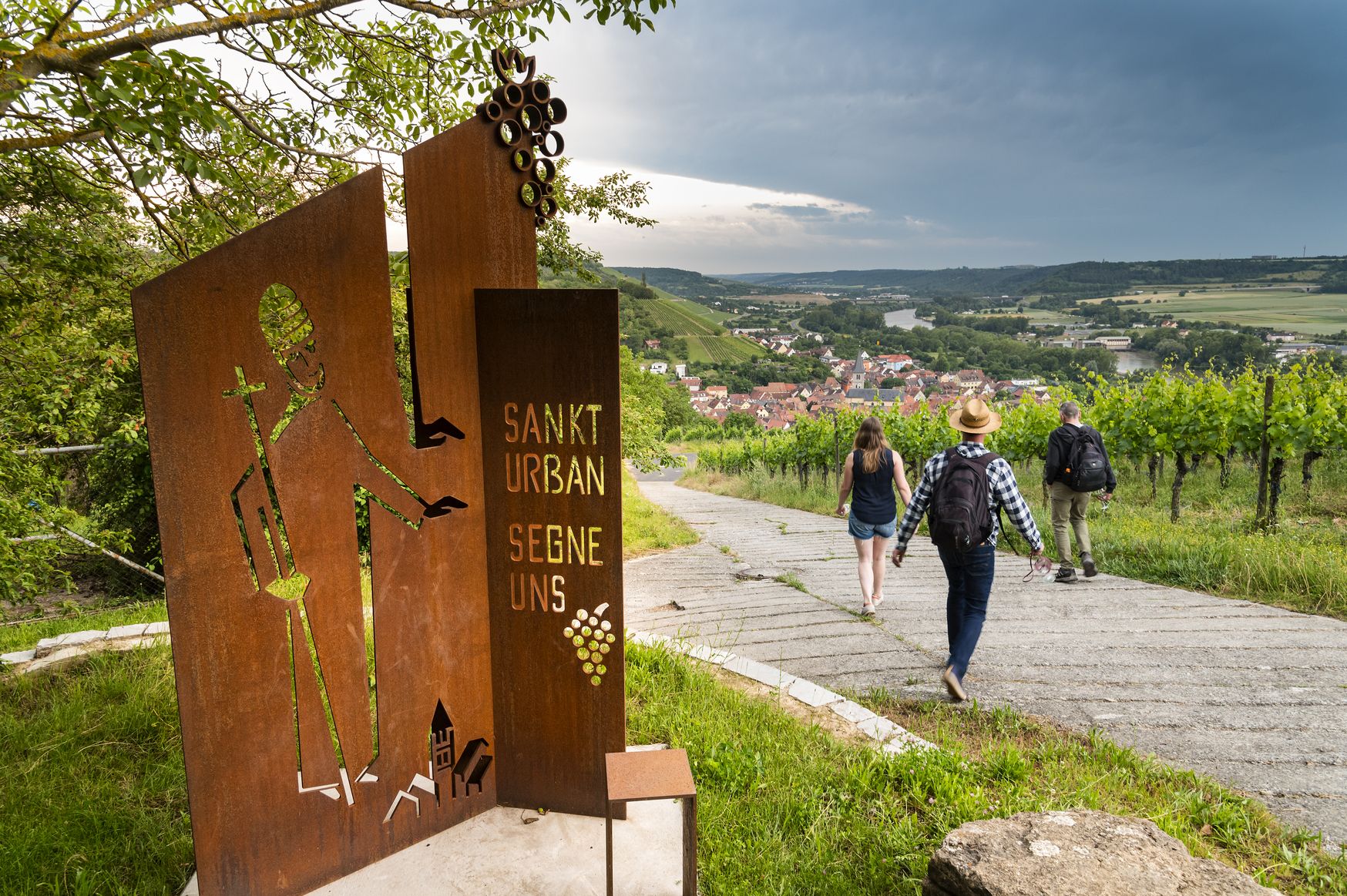
Hiking and culinary delights – walks in the Franconia wine region

No time for boredom – family hikes with a fun factor in Bayern
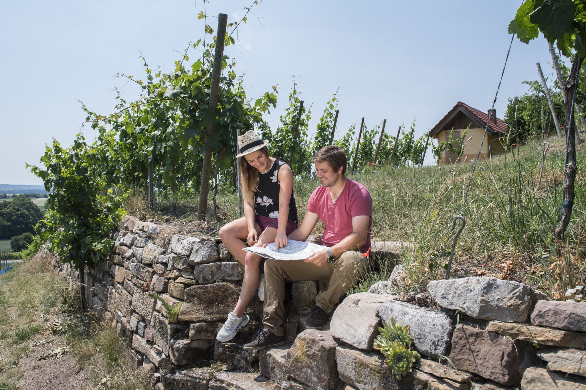
Vineyards, historic towns & forests – hiking through Schweinfurt in Bavaria
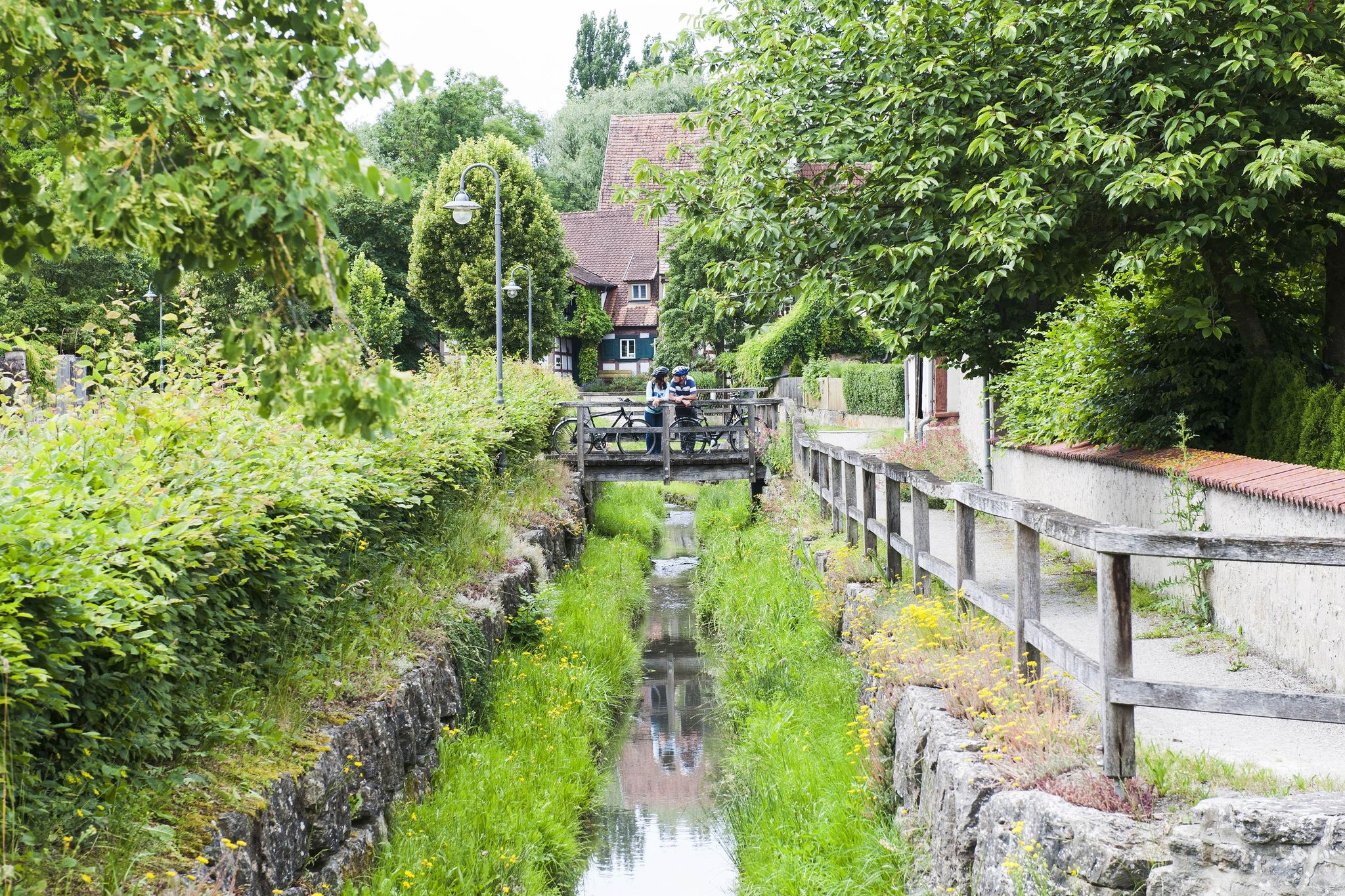
Fun, nature and culture – discover Franconia by bike
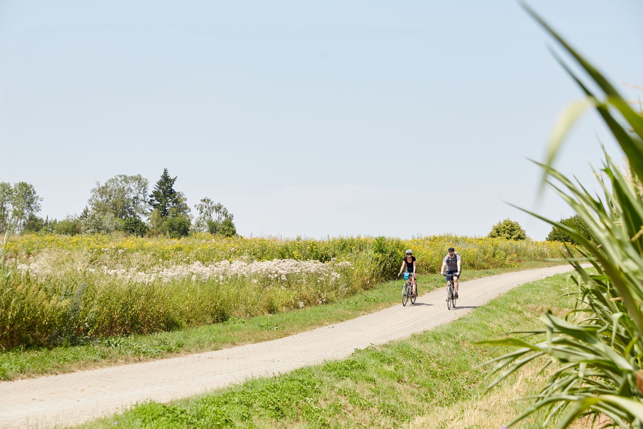
VGN presents 8 cycling day trips around Nuremberg
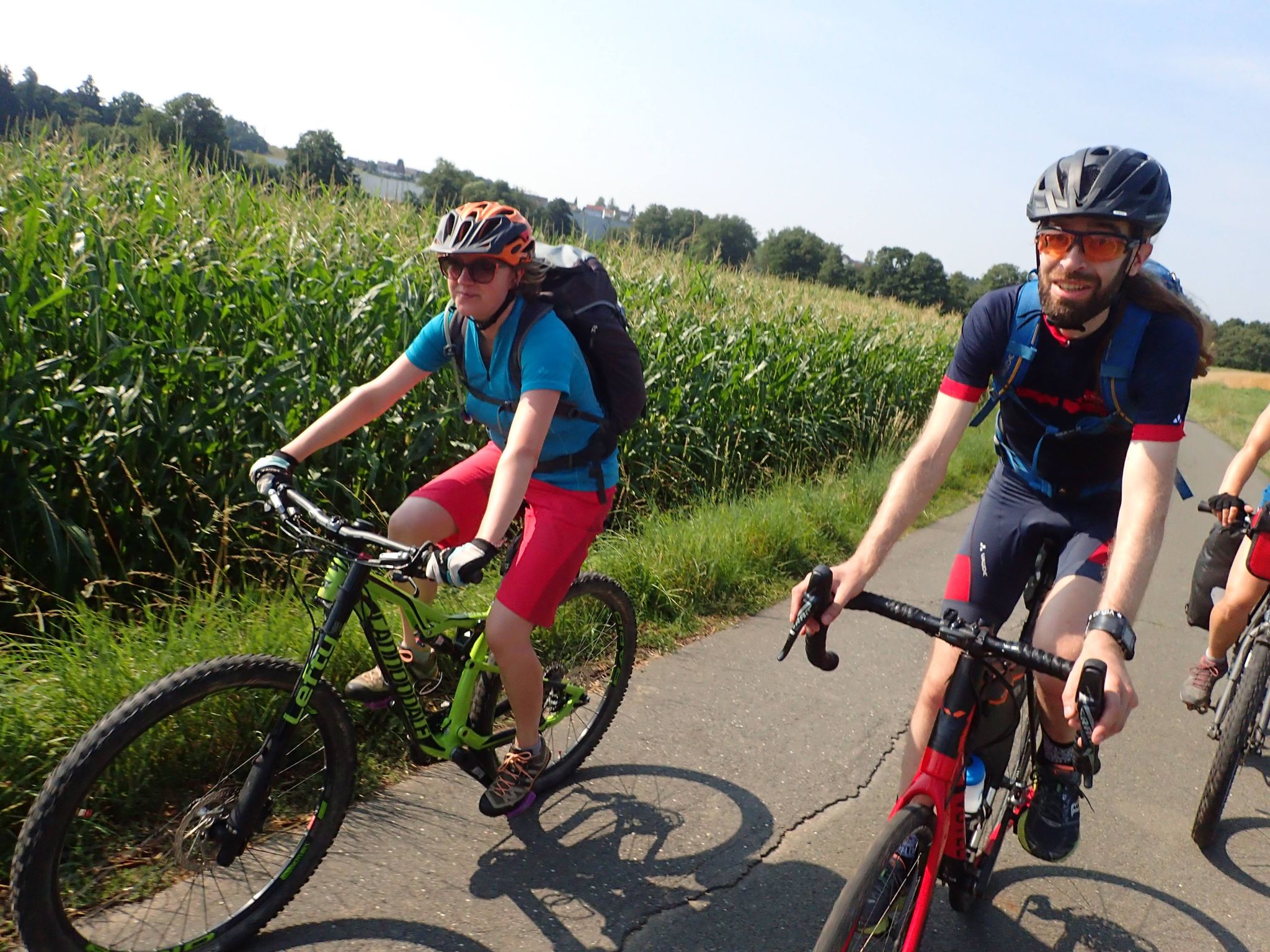
Bike tours in Franconia and Upper Palatinate — VGN leisure tips
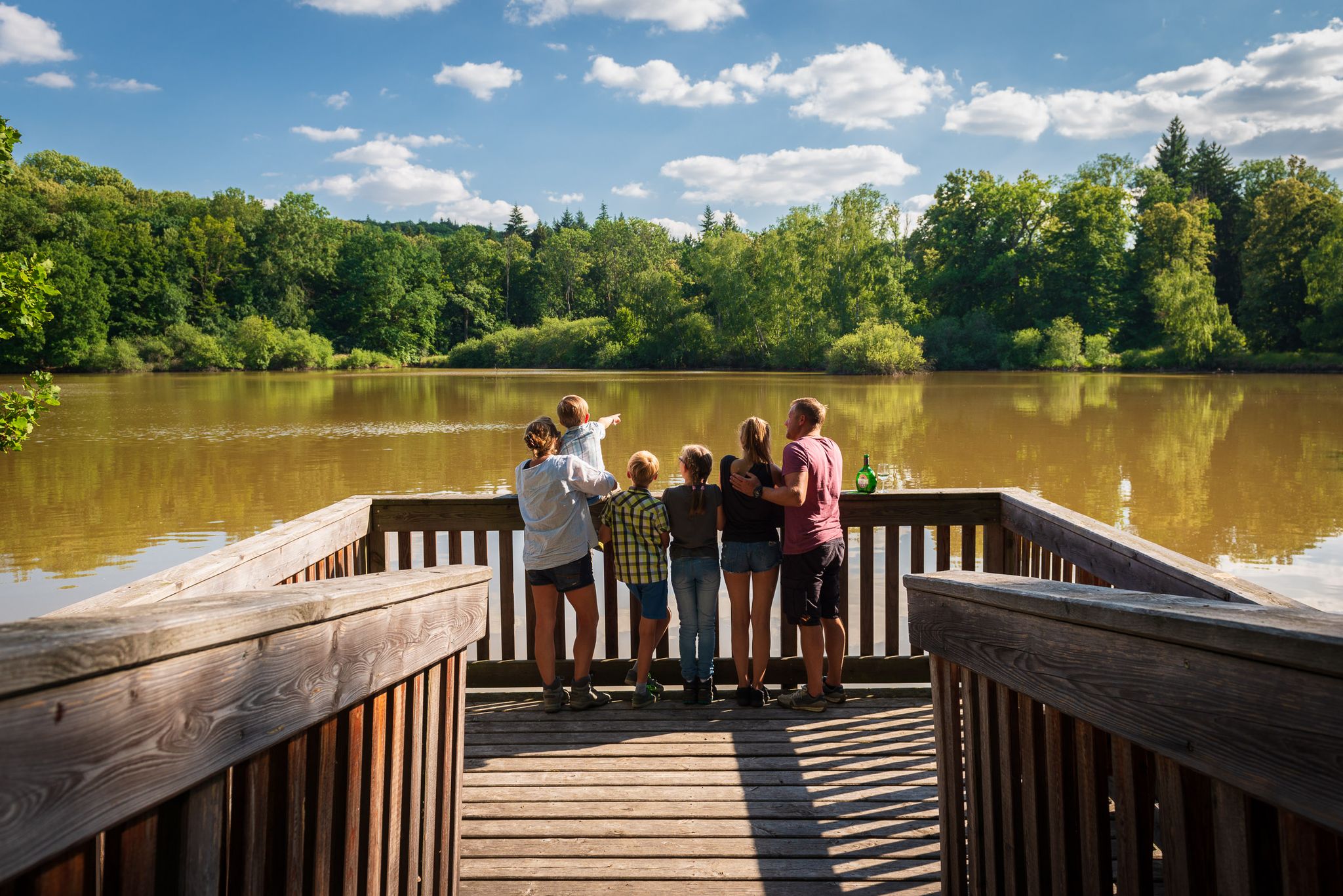
Naturerlebniswege im Kulturerbe Mittelwald Iphofen
Other adventures in Lsg Innerhalb Des Naturparks Steigerwald (Ehemals Schutzzone)


Tips from the Community

Beautiful area, so nice to hike 🥾
1
0

A small idyll during the week. A nice place for a short break.
0
0

A parking area in a natural setting, from which you can directly access the Geiselwind Dream Loop hiking trail. A small picnic area is also available.
0
0

The church of Ebersbrunn
0
0
Spring basin in Ebersbrunn
0
0
Great atmosphere between the dunes
0
0

If you pass by when you run the dream round Geiselwind
0
0
Frequently Asked Questions
How many easy hiking trails are available in Lsg Innerhalb Des Naturparks Steigerwald (Ehemals Schutzzone)?
There are over 630 easy hiking trails in the Lsg Innerhalb Des Naturparks Steigerwald (Ehemals Schutzzone) region, offering a wide variety of options for all skill levels.
What kind of landscapes can I expect on easy hikes in this region?
Easy hikes here traverse a diverse landscape of ancient beech forests, picturesque meadow valleys, and vineyards. You'll encounter rolling hills, small ponds, and a mix of deciduous and pine forests, providing varied natural environments.
Are there family-friendly easy hikes in Lsg Innerhalb Des Naturparks Steigerwald (Ehemals Schutzzone)?
Yes, many of the easy trails are suitable for families. Routes like Oasis of the senses Münchsteinach offer gentle elevation changes through natural surroundings, perfect for a family outing.
Can I bring my dog on the easy hiking trails?
Most trails within the Lsg Innerhalb Des Naturparks Steigerwald (Ehemals Schutzzone) are dog-friendly, but it's always recommended to keep your dog on a leash, especially in protected areas or near wildlife. Be sure to check specific trail regulations if available.
Are there circular easy walks available?
Yes, many easy routes are designed as circular walks. For instance, the Stollberg Hill – Stollburg Ruins loop from Geiersberg is an easy circular path that includes a climb to Stollberg Hill, offering views and historical ruins.
What historical sites or landmarks can I see along easy trails?
You can explore several historical sites. The Stollberg Hill – Stollburg Ruins loop from Geiersberg leads to the Stollburg Ruins. Other notable castles in the wider area include Speckfeld Castle and Zabelstein Castle Ruins, which might be accessible via easy paths or short detours.
How long do easy hikes typically take in this region?
Easy hikes generally range from 1 to 2 hours. For example, the Oasis of the senses Münchsteinach takes about 1 hour 48 minutes, while the Enchanted Tree Sculpture – Source of Life Sculpture loop from Theinheim is often completed in about 1 hour 25 minutes.
What do other hikers enjoy most about hiking in Lsg Innerhalb Des Naturparks Steigerwald (Ehemals Schutzzone)?
The area is highly rated by the komoot community, with an average score of 4.6 stars from over 6,400 reviews. Hikers often praise the tranquil pond ecosystems, ancient forests, and the variety of well-maintained paths suitable for easy walks.
Are there any scenic viewpoints on easy trails?
Yes, the region offers several scenic spots. The northern part of the park features an almost unbroken mountain crest extending to Zabelstein Mountain, from which hikers can enjoy magnificent views of the Franconian region. Routes like View from Glösberg – Ebersbrunn Village loop from Ebersbrunn offer lovely vistas.
What is the best time of year for easy hiking in Lsg Innerhalb Des Naturparks Steigerwald (Ehemals Schutzzone)?
The region is beautiful year-round. Spring brings blooming meadows and fresh greenery, while autumn offers vibrant fall foliage in the deciduous forests. Summer is ideal for enjoying the full natural splendor, and even winter can provide peaceful, snowy walks, though some paths might be slippery.
Are there any trails that pass by water features like lakes or ponds?
Yes, the landscape includes many small ponds which are vital ecosystems. The Woodpecker Information Board – Great Wolf Lake loop from Naturwaldreservat Wolfsee is an easy trail that takes you past the Great Wolf Lake, offering opportunities to observe diverse wildlife.
Are there options for public transport to access trailheads?
While many trailheads are best reached by car, some villages within the Steigerwald Nature Park are served by local bus routes. It's advisable to check local public transport schedules for specific starting points before planning your trip.
Where can I find parking for easy hiking trails?
Many popular trailheads, especially those near villages or specific attractions, offer designated parking areas. Look for signs indicating 'Wanderparkplatz' (hiking parking) at common starting points for routes.
Most popular routes in Lsg Innerhalb Des Naturparks Steigerwald (Ehemals Schutzzone)
Most popular attractions in Lsg Innerhalb Des Naturparks Steigerwald (Ehemals Schutzzone)

Get inspired with the komoot mobile app


Explore more
Browse the best Hikes in other regions.
