Lsg Innerhalb Des Naturparks Steigerwald (Ehemals Schutzzone)
Lsg Innerhalb Des Naturparks Steigerwald (Ehemals Schutzzone)
The best walks and hikes in Lsg Innerhalb Des Naturparks Steigerwald (Ehemals Schutzzone)
4.6
(7439)
26,451
hikers
1,101
hikes
Hiking trails in Lsg Innerhalb Des Naturparks Steigerwald (Ehemals Schutzzone) traverse a landscape characterized by ancient beech forests, rolling hills, and diverse ecosystems. This region, now part of the larger Steigerwald Nature Park, features a mosaic of meadows, vineyards, and numerous small ponds. Prominent elevations like Zabelstein Mountain offer panoramic views of the Franconian region. The area's well-preserved natural environment provides varied terrain for outdoor activities.
Best hiking trails in Lsg Innerhalb Des Naturparks Steigerwald (Ehemals Schutzzone)
- The most popular…
Last updated: October 9, 2026
4.6
(143)
381
hikers
9.91km
03:20
200m
200m
Hard hike. Good fitness required. Sure-footedness, sturdy shoes and alpine experience required.
4.6
(113)
376
hikers
6.80km
01:49
70m
70m
Easy hike. Great for any fitness level. Easily-accessible paths. Suitable for all skill levels.

4.7
(237)
764
hikers
8.55km
02:31
240m
240m
Moderate hike. Good fitness required. Easily-accessible paths. Suitable for all skill levels.
4.8
(305)
986
hikers
Moderate hike. Good fitness required. Easily-accessible paths. Suitable for all skill levels.
4.7
(166)
588
hikers
10.7km
02:59
200m
200m
Moderate hike. Good fitness required. Easily-accessible paths. Suitable for all skill levels.
Get access to more routes and recommendations from other explorers.
Already have an account?
Our route recommendations are based on thousands of hikes, rides, and runs completed by other people on komoot.
Start today with a free account
Your next adventure awaits.
Popular around Lsg Innerhalb Des Naturparks Steigerwald (Ehemals Schutzzone)

Steigerwald panorama trail — 9 days
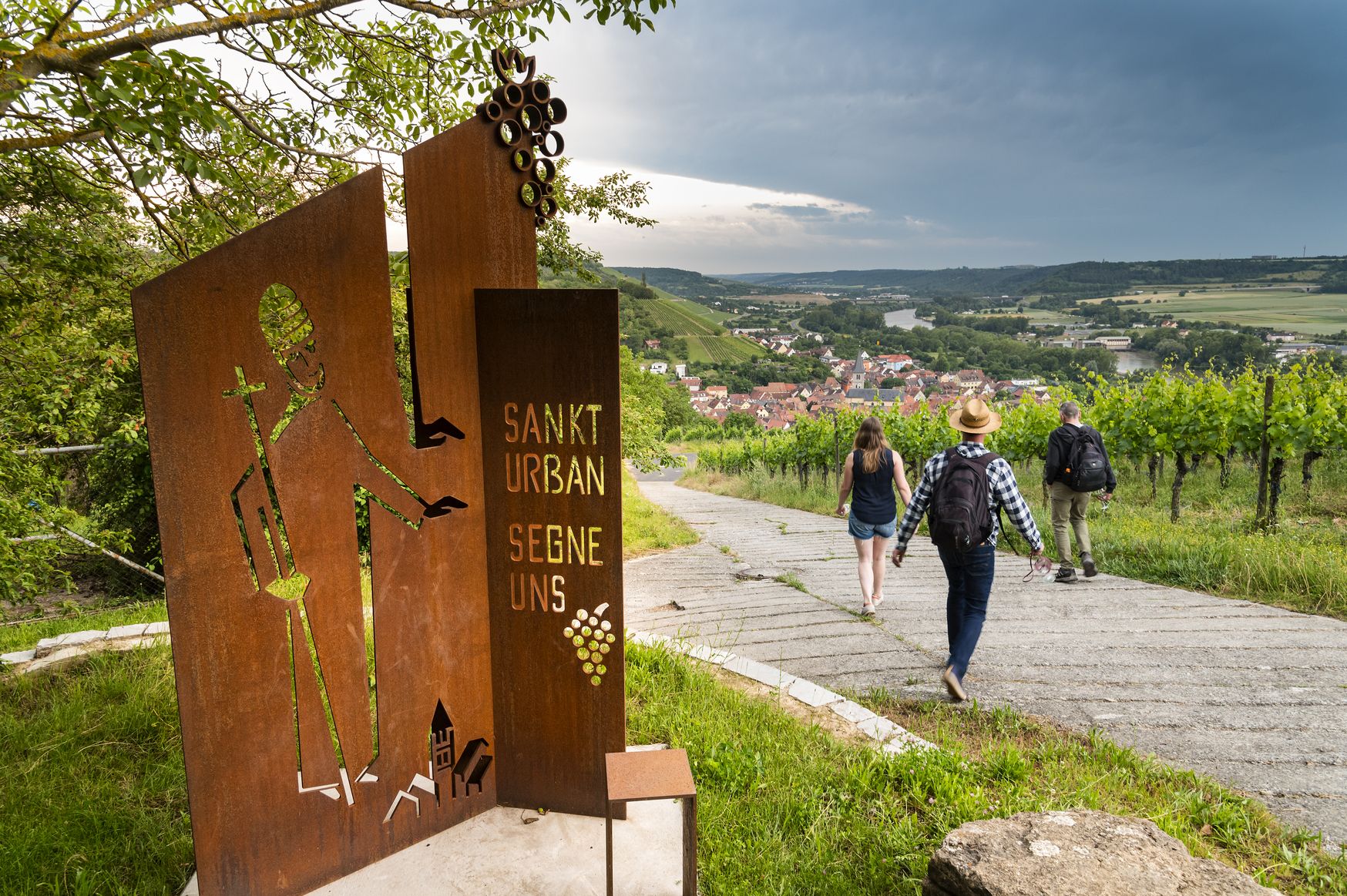
Hiking and culinary delights – walks in the Franconia wine region

No time for boredom – family hikes with a fun factor in Bayern
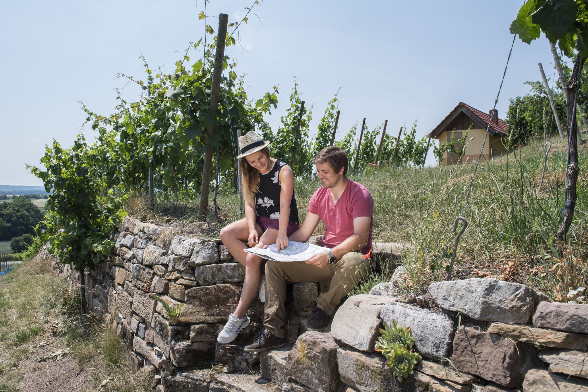
Vineyards, historic towns & forests – hiking through Schweinfurt in Bavaria
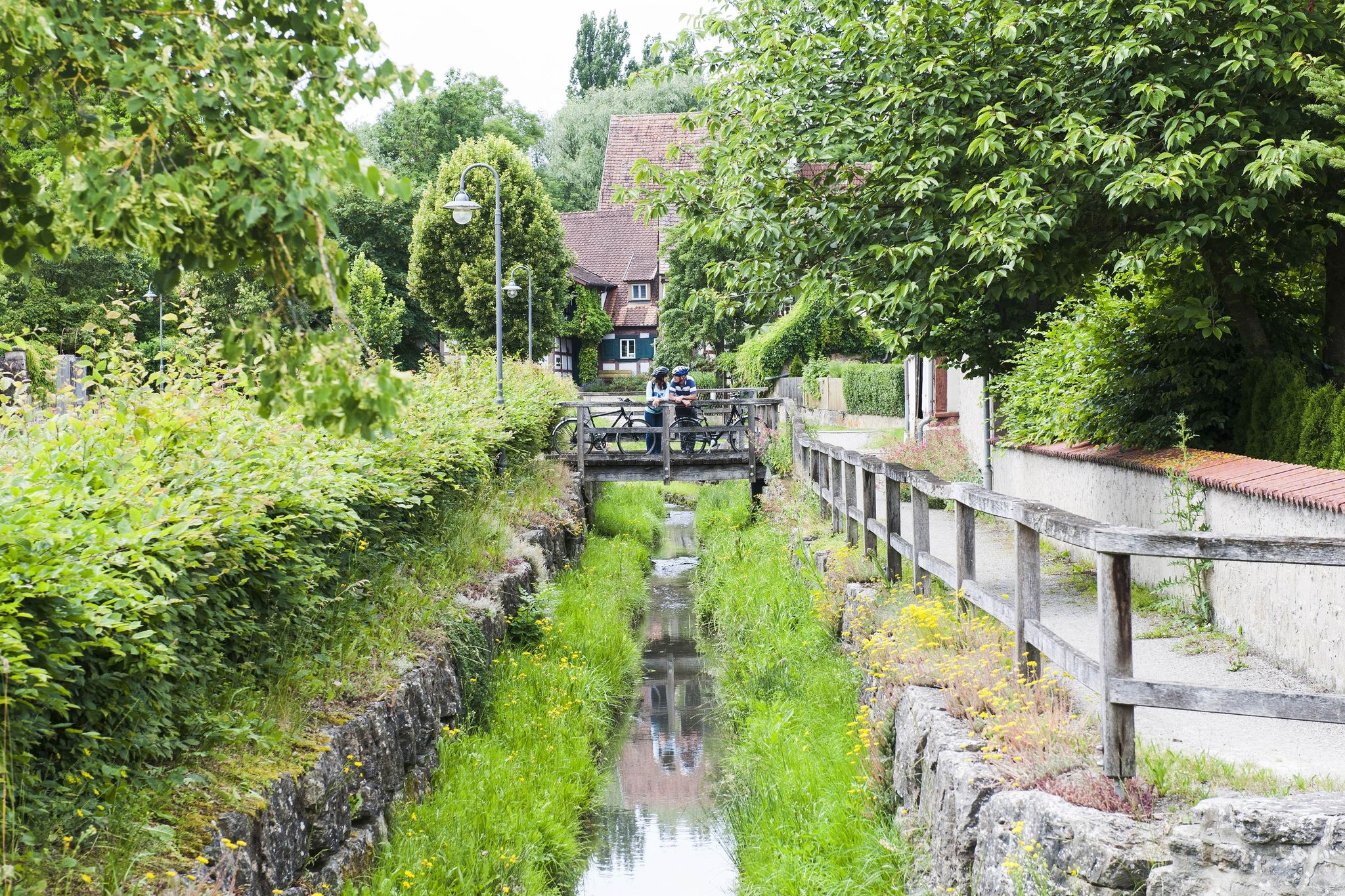
Fun, nature and culture – discover Franconia by bike
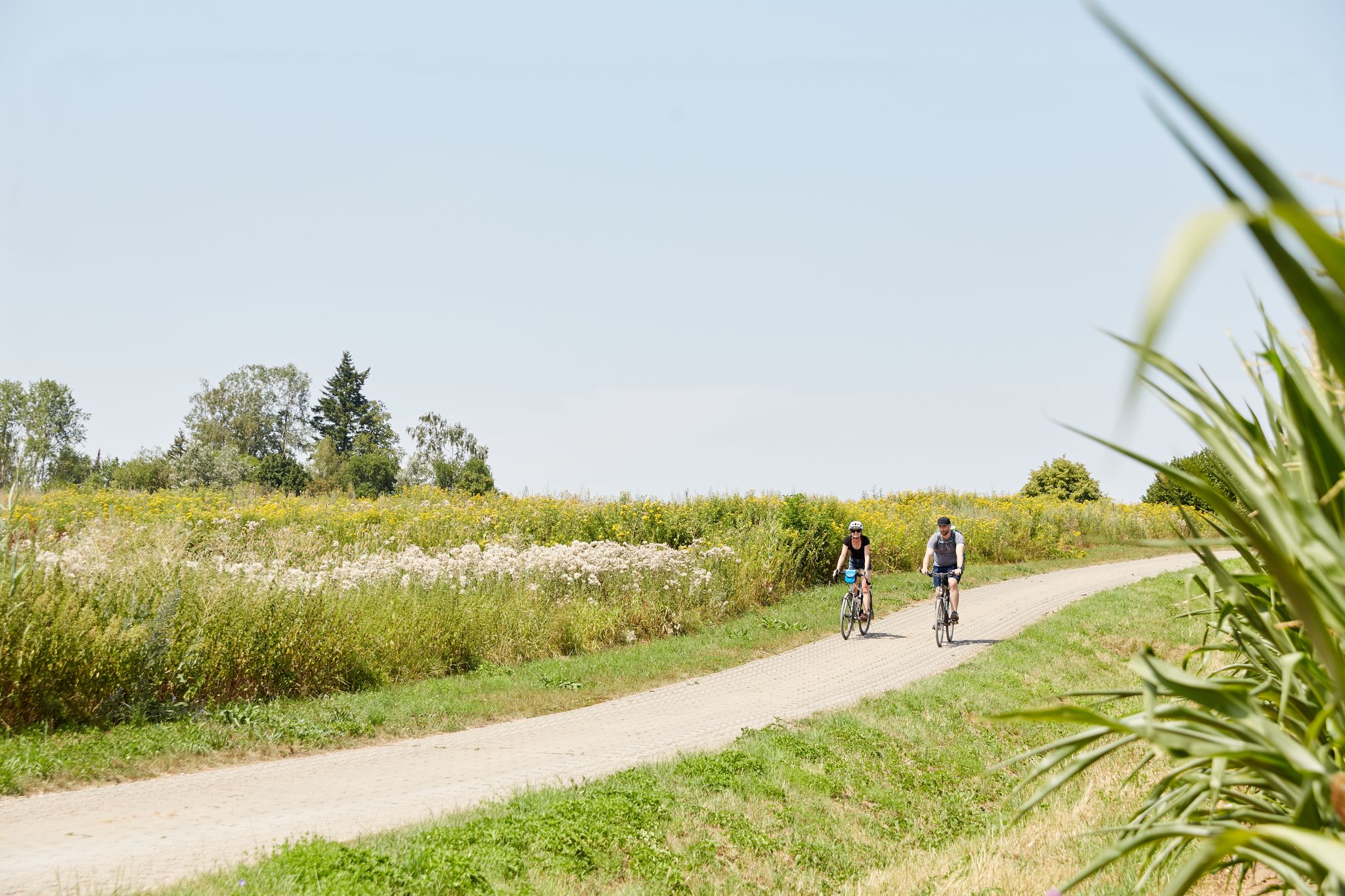
VGN presents 8 cycling day trips around Nuremberg
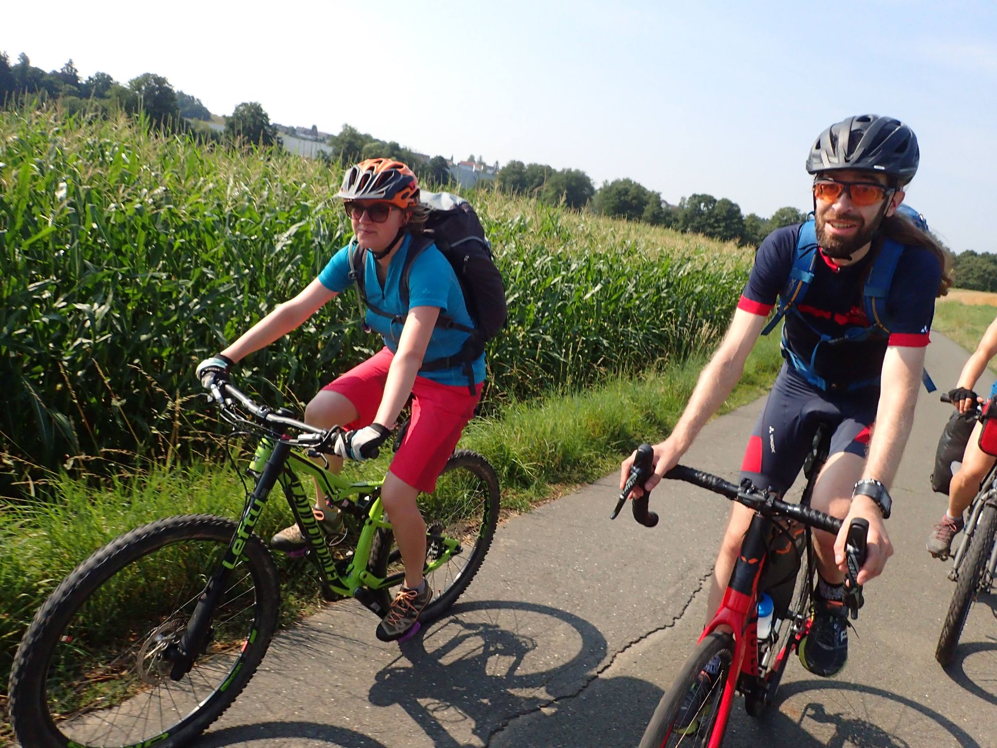
Bike tours in Franconia and Upper Palatinate — VGN leisure tips
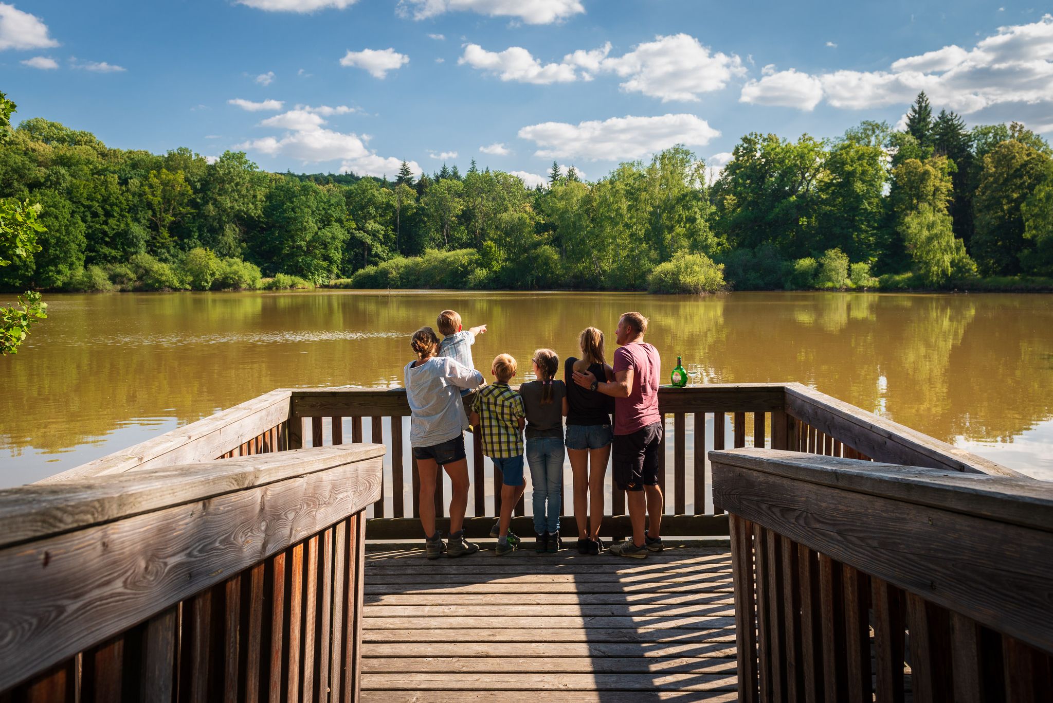
Naturerlebniswege im Kulturerbe Mittelwald Iphofen
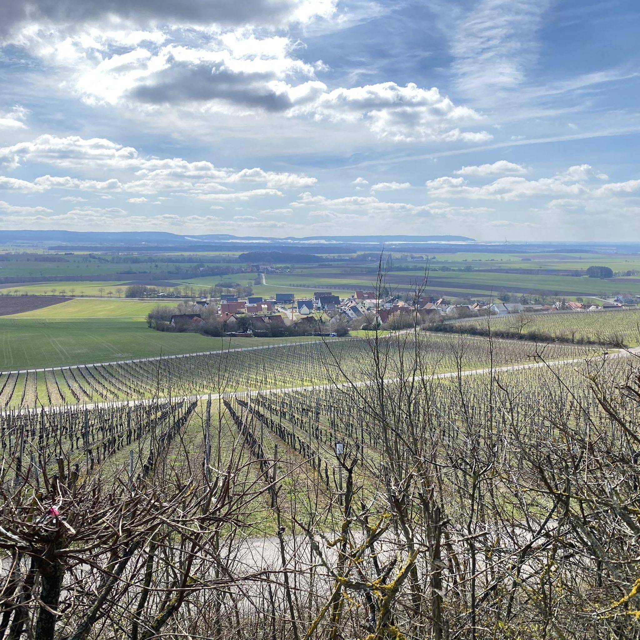
Cycling in Lsg Innerhalb Des Naturparks Steigerwald (Ehemals Schutzzone)
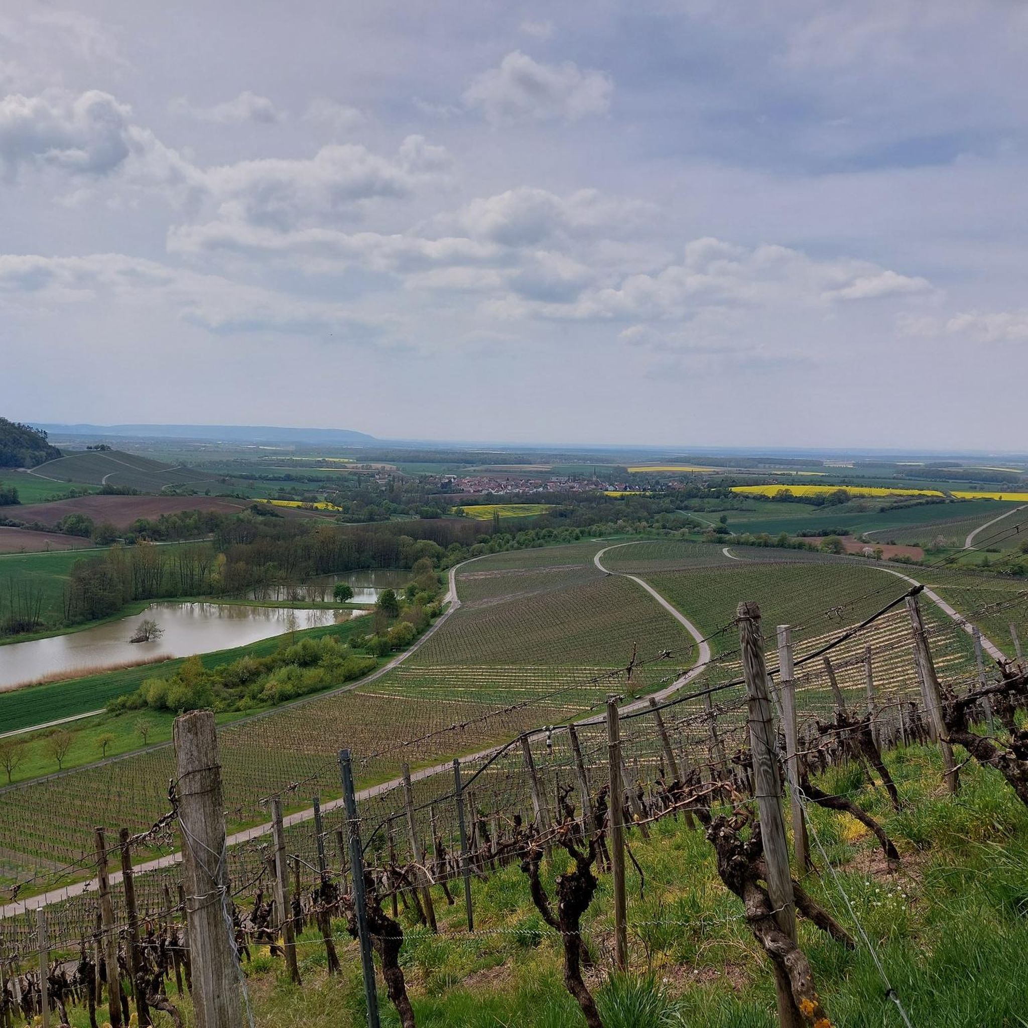
MTB Trails in Lsg Innerhalb Des Naturparks Steigerwald (Ehemals Schutzzone)
Other adventures in Lsg Innerhalb Des Naturparks Steigerwald (Ehemals Schutzzone)


Tips from the Community

Exactly the right place for a break.
0
0
Here you can let your gaze wander.
0
0
Iphofen is famous for its wines.
0
0

Since time immemorial, the Schwanberg has been the highest elevation in the Kitzingen region, a place of refuge and a “holy mountain”. On the easy and almost level hike on the plateau, you can truly feel the mountain's history. The Celts, in particular, have left their mark with their Celtic ramparts. But the Schwanberg is also a place for free thinking, poetry, and spiritual and hospitable retreat. You can breathe in the tranquility in the castle park.
0
0
Super trail again and again 🔝
0
0

This place gave the mountain its name...
0
0

Beautiful views over the vineyards and the Kitzingen area.
5
0
Frequently Asked Questions
How many hiking trails are available in the Lsg Innerhalb Des Naturparks Steigerwald (Ehemals Schutzzone)?
The Lsg Innerhalb Des Naturparks Steigerwald (Ehemals Schutzzone) offers a vast network of over 1,100 hiking trails. This includes a wide range of options, with more than 600 easy routes, over 450 moderate trails, and nearly 50 more challenging paths, catering to all experience levels.
Are there many easy hiking trails suitable for beginners or casual walkers?
Yes, the region is very welcoming for beginners and casual walkers. Over 600 of the available trails are classified as easy. An excellent example is the Oasis of the senses Münchsteinach, an easy 4.2-mile (6.8 km) path that guides you through serene landscapes, including areas with ponds and diverse flora.
What kind of natural landscapes can I expect to see while hiking?
Hikers in this part of the Steigerwald Nature Park will discover a rich tapestry of natural landscapes. The region is renowned for its expansive and ancient beech forests, some of Germany's oldest. You'll also encounter a mosaic of meadows, vineyards, and numerous small ponds, particularly in the southern Steigerwald, which create a paradise for birds and dragonflies. Prominent elevations like Zabelstein Mountain (489 m) offer magnificent panoramic views.
Are there any family-friendly hiking options in the Steigerwald Nature Park?
Absolutely. Many of the easy trails are suitable for families. The diverse ecosystems, including forests and meadows, provide an engaging environment for children. Additionally, the Treetop Walkway near Ebrach offers a unique perspective on the forest canopy, which can be a memorable experience for all ages.
Can I bring my dog on the hiking trails?
Generally, dogs are welcome on the hiking trails within the Steigerwald Nature Park. However, it's always recommended to keep your dog on a leash, especially in sensitive natural areas, near wildlife, or when passing through agricultural land. Please ensure you clean up after your pet to help preserve the natural environment for everyone.
Are there circular hiking routes available?
Yes, the region offers several appealing circular hiking routes. One popular option is the View of Bullenheim – Peace Cross on Tannenberg loop from St. Leonhard, a moderate 5.3-mile (8.5 km) trail that takes you through rolling hills and offers scenic vistas.
Where can I find the best panoramic views in the area?
For breathtaking panoramic views, head to the prominent elevations within the nature park. Mountains such as Zabelstein (489 m), Scheinberg (499 m), and Hohenlandsberg (498 m) offer magnificent vistas of the Franconian region, including the Main valley. Many trails lead to or pass by these elevated points, providing ample opportunities for stunning outlooks.
Are there any interesting landmarks or attractions along the hiking trails?
Yes, the region is dotted with interesting landmarks and natural attractions. You can find several beautiful lakes, such as Birkensee (Schwanberg) and Great Wolf Lake, which are perfect for a peaceful stop. The area also features cultural sites like castles and monasteries, including the Cistercian abbey in Ebrach. For a historical perspective, consider the Celtic rampart on Schwanberg – Schwanberg Castle Park loop from Schwanberg.
What do other hikers enjoy most about hiking in Lsg Innerhalb Des Naturparks Steigerwald (Ehemals Schutzzone)?
The area is highly rated by the komoot community, with an average score of 4.6 stars from over 6,000 reviews. Hikers frequently praise the region's diverse and well-preserved natural landscapes, the tranquility of the ancient beech forests, and the extensive network of trails that cater to various difficulty levels. The panoramic views from elevated points are also a recurring highlight.
Are there any longer, more challenging routes for experienced hikers?
While the region is known for its many easy and moderate trails, there are indeed options for experienced hikers seeking a challenge. Nearly 50 routes are classified as difficult. An example is the Waldläufer – Steigerwald Wine Panorama, a challenging 6.2-mile (9.9 km) trail that offers rewarding views of vineyards and the surrounding forest.
Can I find trails that pass by historical sites or cultural points of interest?
Yes, the Steigerwald Nature Park blends natural beauty with cultural heritage. Many trails lead past charming towns, historical buildings, and even ancient structures. For instance, the Augustiner am See – Speckfeld Castle — Tower Ruin loop from Schloßbergsattel bei Markt Einersheim offers a glimpse of historical ruins amidst the natural scenery.
Are there opportunities for multi-day hiking trips or trekking?
For those interested in multi-day excursions, the northern Steigerwald offers ten designated trekking campsites. These sites are equipped with fire pits, toilets, and sleeping areas, providing a more immersive nature experience. You can plan longer routes, such as sections of the 161-kilometer quality-certified Steigerwald Panorama Tour, and utilize these campsites.
Most popular routes in Lsg Innerhalb Des Naturparks Steigerwald (Ehemals Schutzzone)
Most popular attractions in Lsg Innerhalb Des Naturparks Steigerwald (Ehemals Schutzzone)

Get inspired with the komoot mobile app


Explore more
Browse the best Hikes in other regions.
