Lsg Innerhalb Des Naturparks Steigerwald (Ehemals Schutzzone)
Lsg Innerhalb Des Naturparks Steigerwald (Ehemals Schutzzone)
The best road cycling routes in Lsg Innerhalb Des Naturparks Steigerwald (Ehemals Schutzzone)
4.5
(2278)
25,330
riders
60
rides
Road cycling routes in Lsg Innerhalb Des Naturparks Steigerwald (Ehemals Schutzzone) traverse a landscape characterized by extensive deciduous and coniferous forests, particularly between the Zabelstein Mountains and Ebrach. The region also features scenic river valleys carved by the Aisch, Regnitz, and Main rivers, offering flatter sections. Rolling hills provide varied inclines, with elevations reaching up to 500 meters, making it suitable for different cycling preferences.
Best road cycling routes in Lsg Innerhalb Des Naturparks Steigerwald (Ehemals Schutzzone)
- The most popular…
Last updated: May 20, 2026
5.0
(4)
98
riders
Hard road ride. Very good fitness required. Mostly well-paved surfaces and easy to ride.
4.1
(15)
72
riders
63.6km
02:35
320m
320m
Moderate road ride. Good fitness required. Mostly well-paved surfaces and easy to ride.

Sign up for free
3.7
(3)
80
riders
Moderate road ride. Good fitness required. Mostly well-paved surfaces and easy to ride.
4.4
(9)
51
riders
38.9km
01:45
430m
430m
Moderate road ride. Good fitness required. Some segments of this route may be unpaved and difficult to ride.
4.5
(4)
40
riders
Moderate road ride. Good fitness required. Mostly well-paved surfaces and easy to ride.
Get access to more routes and recommendations from other explorers.
Sign up for free
Already have an account?
Our route recommendations are based on thousands of hikes, rides, and runs completed by other people on komoot.
Start today with a free account
Your next adventure awaits.
Login or Signup
Popular around Lsg Innerhalb Des Naturparks Steigerwald (Ehemals Schutzzone)

Steigerwald panorama trail — 9 days
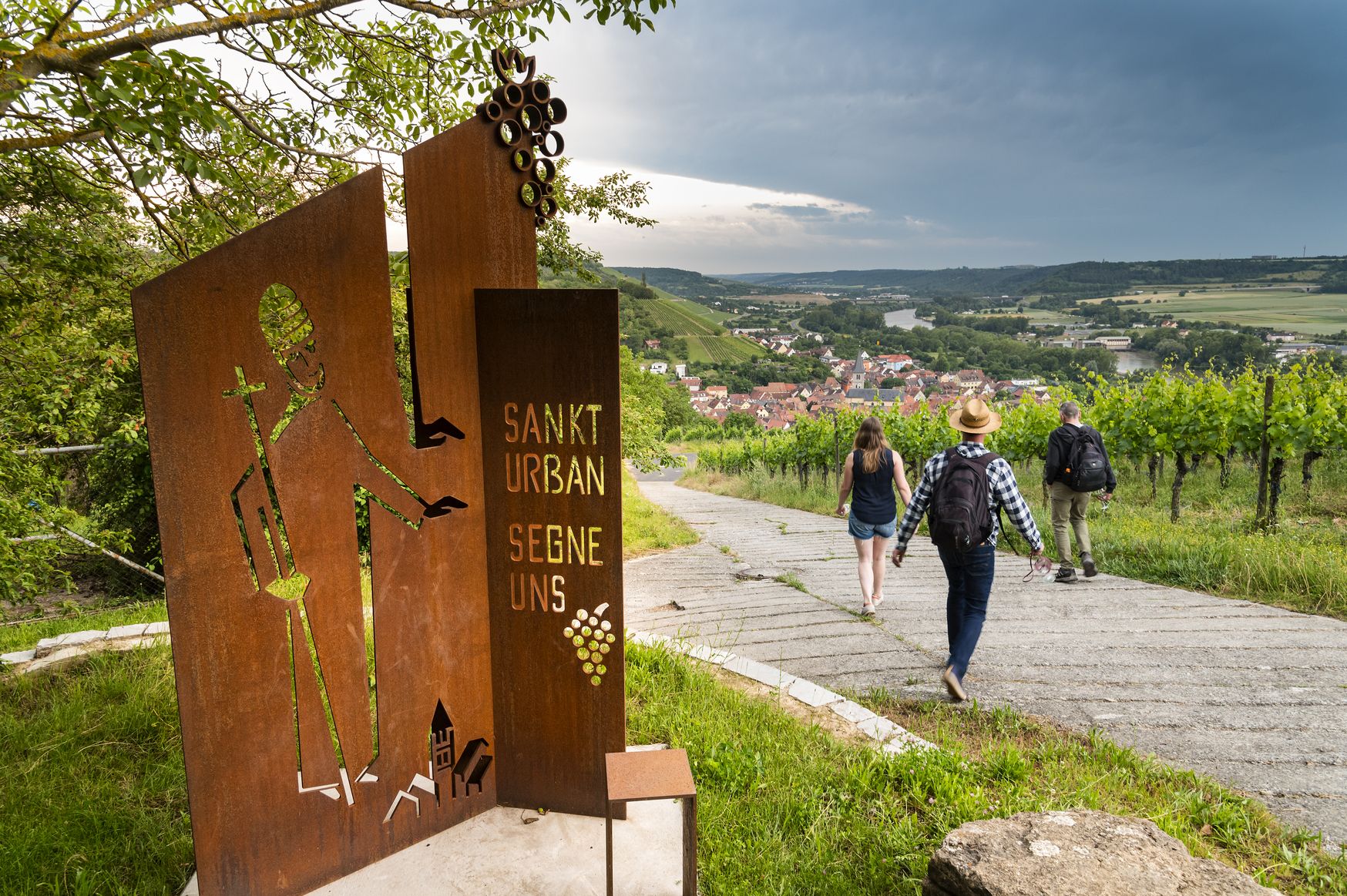
Hiking and culinary delights – walks in the Franconia wine region
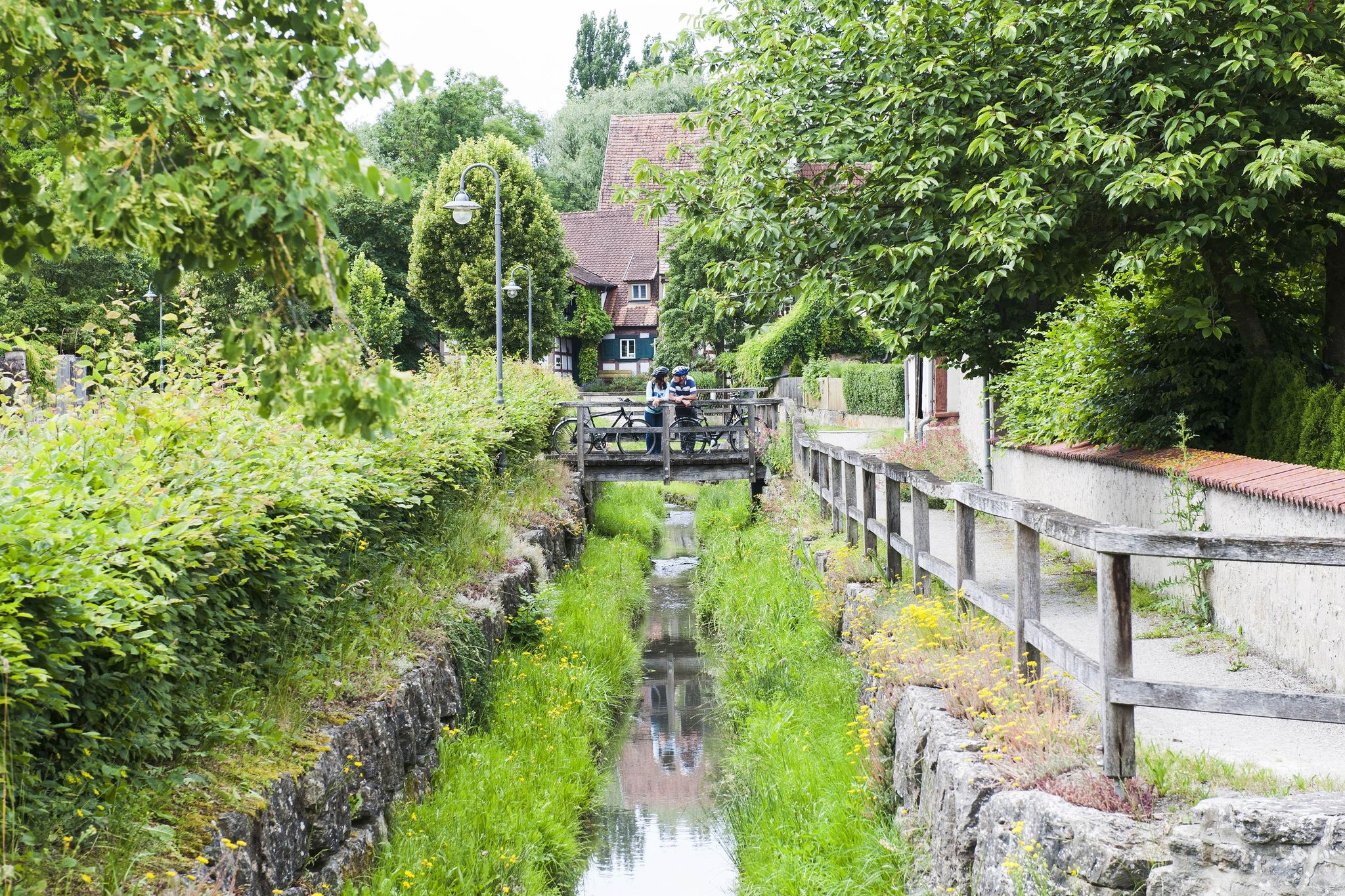
Fun, nature and culture – discover Franconia by bike

No time for boredom – family hikes with a fun factor in Bayern
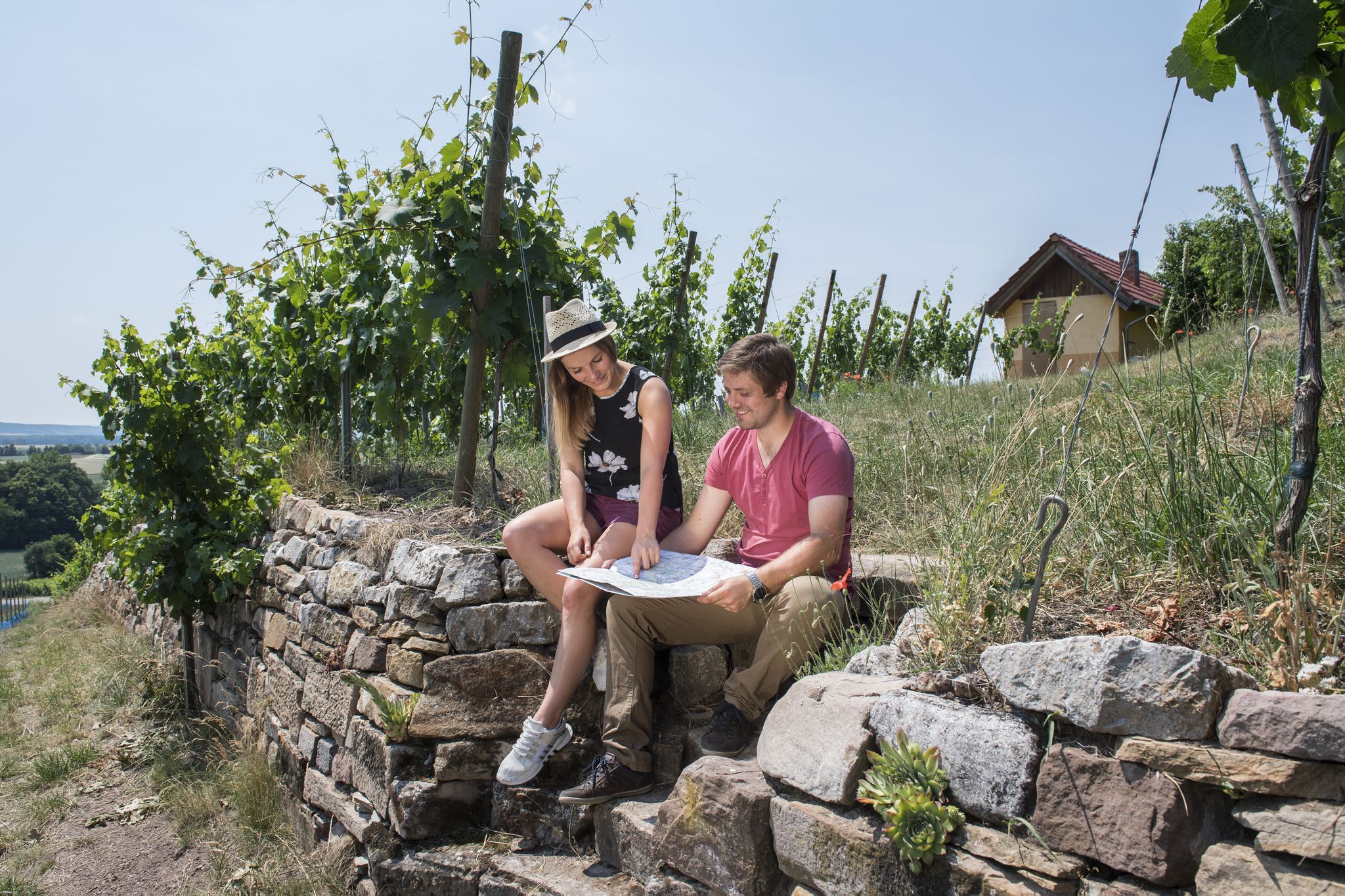
Vineyards, historic towns & forests – hiking through Schweinfurt in Bavaria
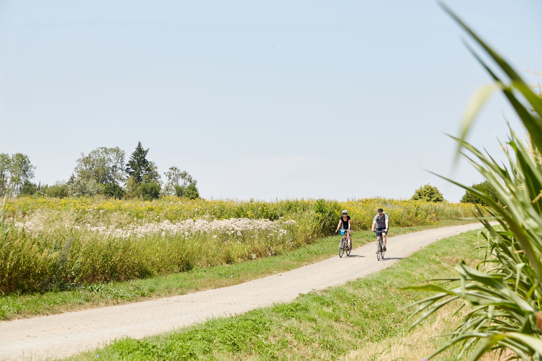
VGN presents 8 cycling day trips around Nuremberg
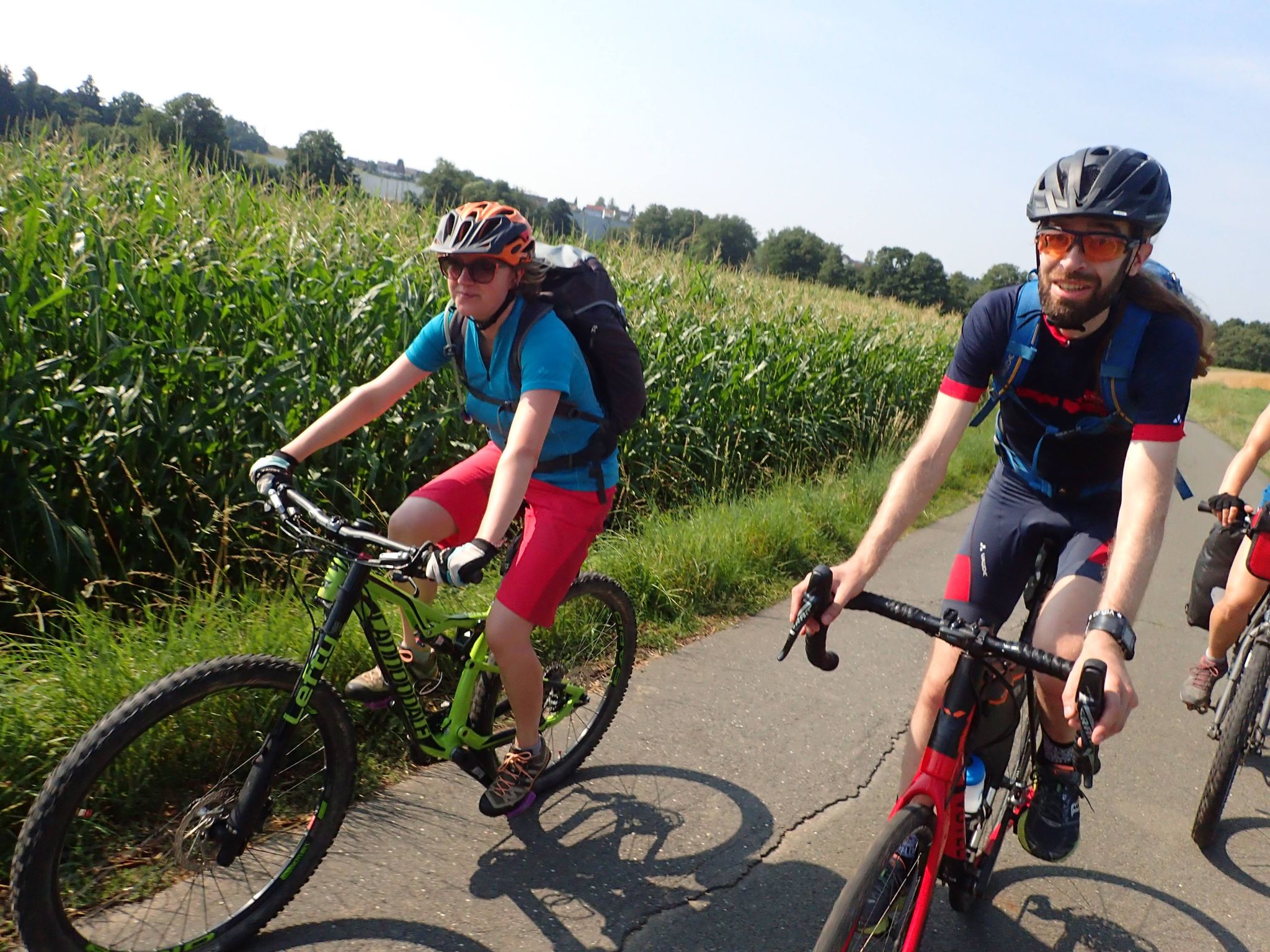
Bike tours in Franconia and Upper Palatinate — VGN leisure tips
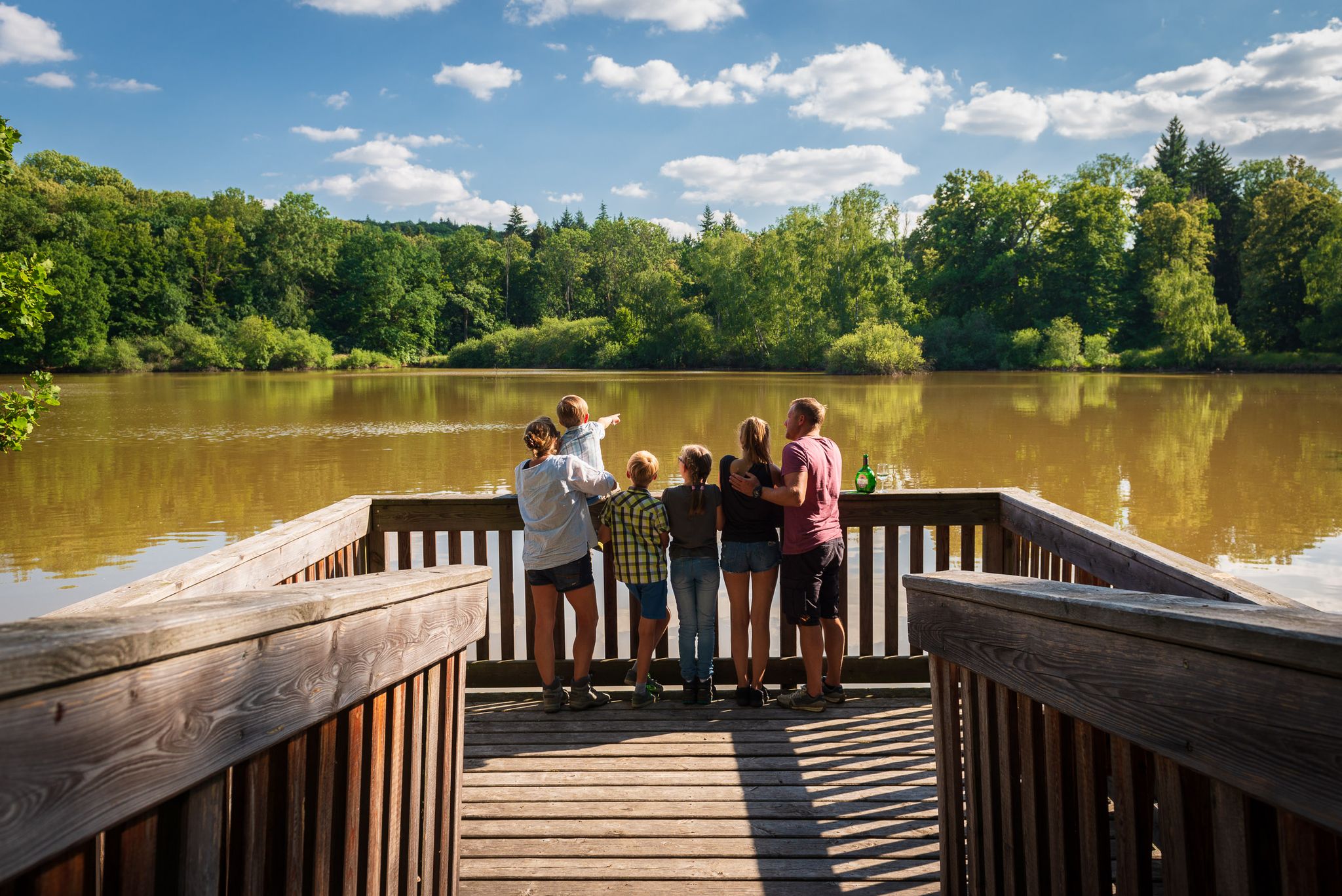
Naturerlebniswege im Kulturerbe Mittelwald Iphofen
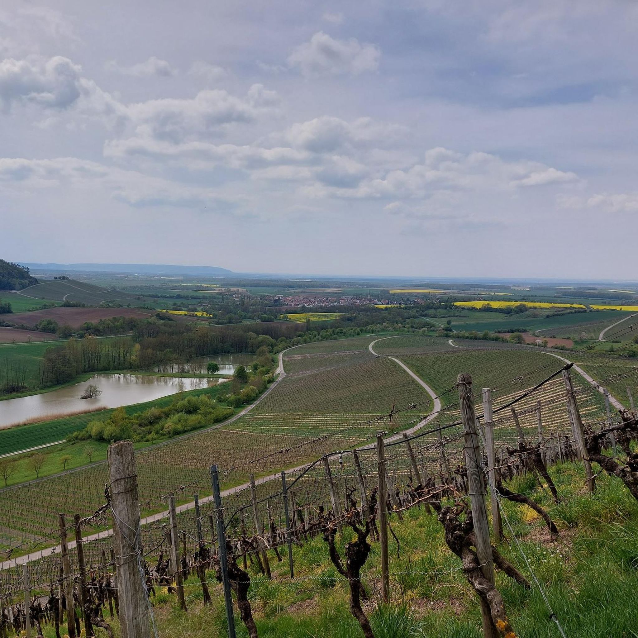
Hiking in Lsg Innerhalb Des Naturparks Steigerwald (Ehemals Schutzzone)
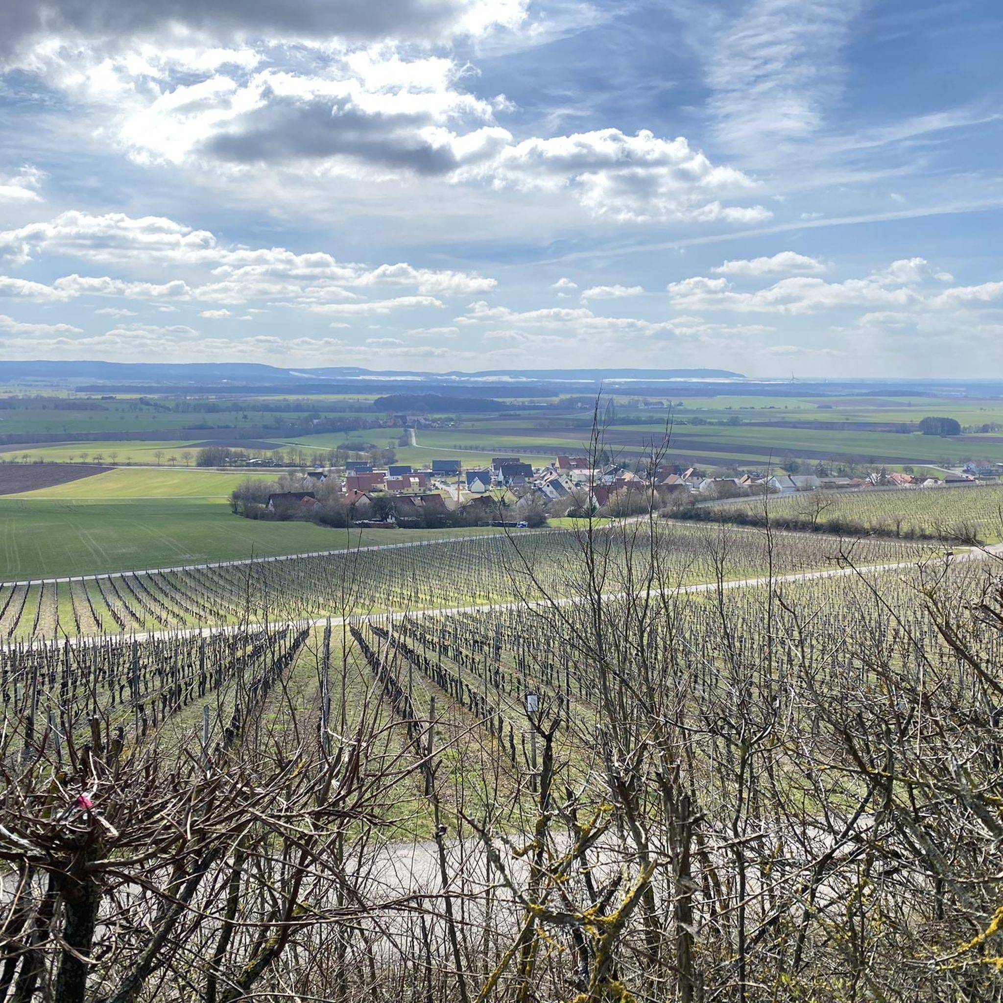
Cycling in Lsg Innerhalb Des Naturparks Steigerwald (Ehemals Schutzzone)
Other adventures in Lsg Innerhalb Des Naturparks Steigerwald (Ehemals Schutzzone)


Tips from the Community

Very beautiful paths through the vineyards
0
0


A beautiful town on the Main River with historic buildings and several places to stop for refreshments, Haßfurt is a great place to restock your supplies.
0
0

Just the right place for a break. https://www.stadt-volkach.de/buergerservice/aktuelle-informationen/volkachzeit-die-buergerinformation-fuer-volkach-und-seine-ortsteile/faehrenschoppen-in-fahr-am-main
0
0


Four winegrowers from the Fahr Winegrowing Association take turns opening their wine bar exclusively every Saturday and Sunday at the Fahr Main Ferry. Enjoy a glass of wine on the sparkling Main River, right on the Main Cycle Path, in a beautiful landscape, while the ferry leisurely makes its way from "haist" to "daist." Treat yourself to a short break with a glass of wine and snacks at the "Schorsch" ferry in Fahr! We look forward to your visit, whether you're a resident of the Main River Loop, a hiker, a wine enthusiast, or a cyclist!
1
0

The pilgrimage church of Maria Limbach was built according to plans by the Würzburg cathedral master builder Balthasar Neumann.
11
2

You should know the story what the background is
2
0
Frequently Asked Questions
How many road cycling routes are available in Naturpark Steigerwald?
There are over 50 road cycling routes in Naturpark Steigerwald, catering to various preferences and fitness levels. These include routes ranging from easy to difficult, ensuring there's something for every cyclist.
What kind of terrain can I expect when road cycling in Naturpark Steigerwald?
The Naturpark Steigerwald offers a diverse landscape for road cycling. You'll encounter scenic routes through vineyards, dense deciduous and coniferous forests, and relatively flat sections along river valleys like the Aisch, Regnitz, and Main. Rolling hills provide varied inclines, with elevations reaching up to 500 meters, offering a good mix for different cycling preferences.
Are there routes suitable for beginners or those looking for an easy ride?
Yes, the region offers several easy road cycling routes. For example, the View of Schloss Schwarzenberg – Lara's Village Ice Cream loop from Scheinfeld is an easy 25.9 km trail with minimal elevation gain, perfect for a relaxed ride.
What are some notable landmarks or attractions I can see along the road cycling routes?
Many routes pass by historic sites and natural beauty. You can explore various castles and ruins, such as Schwanberg Castle Park, Stollburg Ruins, or Zabelstein Castle Ruins. The region is also known for its vineyards and picturesque river valleys.
Are there any circular road cycling routes in the Naturpark Steigerwald?
Yes, many of the road cycling routes in the Naturpark Steigerwald are designed as loops. A popular moderate option is the Ebrach Abbey – Burgwindheim Castle loop from Ebrach, which covers 63.6 km through forested areas and past historic sites.
What is the best time of year for road cycling in Naturpark Steigerwald?
The best time for road cycling in Naturpark Steigerwald is generally from spring to autumn. During these seasons, the weather is most favorable, and the landscapes, including vineyards and forests, are at their most vibrant. Summer offers warm temperatures, while spring and autumn provide milder conditions and beautiful foliage.
Are there any routes that follow river valleys for a flatter experience?
Absolutely. The region features scenic river valleys carved by the Aisch, Regnitz, and Main rivers, offering relatively flat and enjoyable cycling routes. The Main River Cycle Path – Main riverside near Eltmann loop from Lisberg (VGem) is a great example, providing views along the Main River.
What do other road cyclists enjoy most about cycling in Naturpark Steigerwald?
The Naturpark Steigerwald is highly rated by the komoot community, with an average score of 4.5 stars from over 80 reviews. Cyclists often praise the varied terrain, from quiet woodlands to scenic river paths and vineyards, as well as the well-developed network of routes that cater to different fitness levels.
Are there routes that offer panoramic views or viewpoints?
Yes, the rolling hills and higher elevations within the Naturpark Steigerwald provide several opportunities for panoramic views. Routes often pass through areas with elevated sections, such as near Schwanberg, offering scenic vistas of the surrounding Franconian landscape. You can also find specific viewpoints like the Grotto viewpoint on the southern side of Schwanberg.
Can I find routes that explore the region's vineyards?
Indeed. The western part of the Naturpark Steigerwald is renowned for its vineyards, offering picturesque routes through 'Franconian wine country.' Many cycling tours highlight these areas, providing beautiful views of the vineyards and historic towns like Iphofen and Ochsenfurt.
Are there moderate routes for experienced cyclists looking for a good workout?
Yes, the majority of routes in Naturpark Steigerwald are classified as moderate, offering a good balance of distance and elevation gain. The View of Schloss Frankenberg – Wolfsee near Oberntief loop from St. Leonhard is a popular moderate 51.1 km trail that leads through rolling hills, providing a satisfying challenge.
What are the options for parking when accessing road cycling routes?
Parking is generally available in the towns and villages that serve as starting points for many routes within the Naturpark Steigerwald. Specific parking information can often be found on individual route pages on komoot, or by checking local community websites for designated cyclist parking areas.
Most popular routes in Lsg Innerhalb Des Naturparks Steigerwald (Ehemals Schutzzone)
Most popular attractions in Lsg Innerhalb Des Naturparks Steigerwald (Ehemals Schutzzone)

Get inspired with the komoot mobile app


Explore more
Browse the best Road cycling routes in other regions.
