The best waterfall hikes and walks around Réserve naturelle des Hauts Plateaux du Vercors
4.5
(5202)
43,474
hikers
9
hikes
Waterfall hiking trails around Réserve naturelle des Hauts Plateaux du Vercors traverse a landscape characterized by dramatic limestone cliffs, deep gorges, and extensive forests. The region is part of the Vercors Massif, offering varied terrain from high plateaus to river valleys where cascades form. Hikers can expect a mix of challenging ascents and more gentle paths, often leading to impressive natural water features. This environment provides diverse opportunities for exploring the natural beauty of the French Prealps.
Best waterfall hiking…
Last updated: November 9, 2026
4.6
(77)
487
hikers
17.3km
06:32
950m
950m
Hard hike. Very good fitness required. Mostly walkable paths. Sure-footedness required.
4.9
(18)
147
hikers
11.4km
05:00
850m
850m
Hard hike. Good fitness required. Sure-footedness, sturdy shoes and alpine experience required.

4.6
(10)
41
hikers
9.86km
03:54
650m
650m
Moderate hike. Good fitness required. Mostly walkable paths. Sure-footedness required.
4.3
(3)
19
hikers
4.21km
01:26
230m
230m
Easy hike. Easily walkable paths.
4.4
(5)
23
hikers
4.98km
01:29
150m
150m
Easy hike. Easily walkable paths.
Get access to more routes and recommendations from other explorers.
Already have an account?
Our route recommendations are based on thousands of hikes, rides, and runs completed by other people on komoot.
Start today with a free account
Your next adventure awaits.
Popular around Réserve naturelle des Hauts Plateaux du Vercors
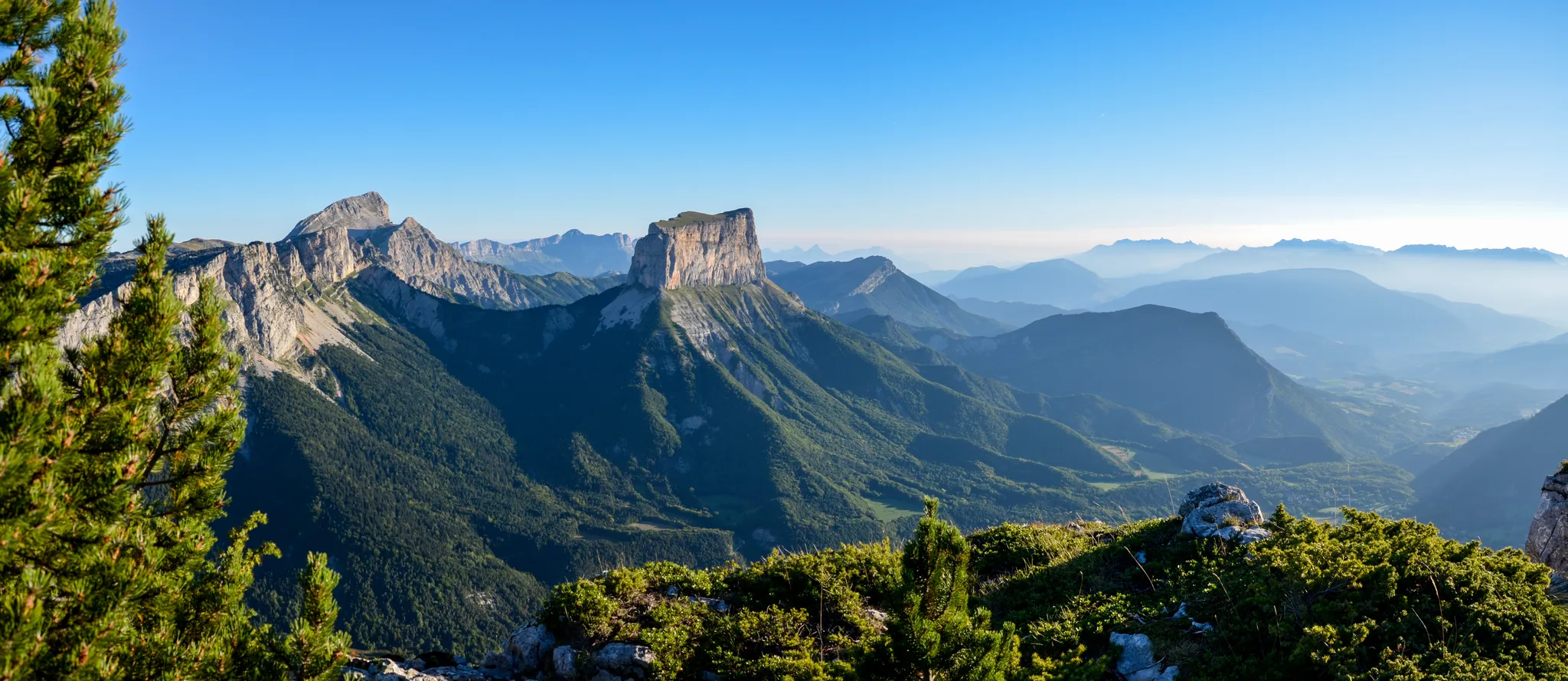
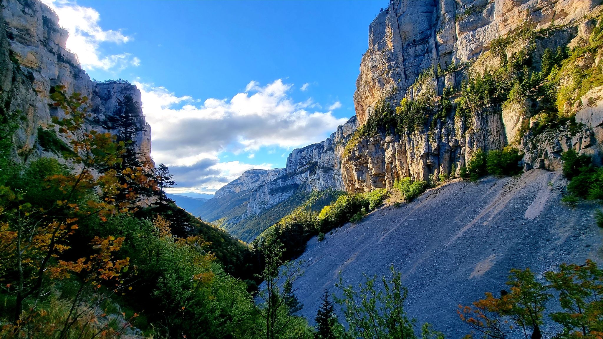
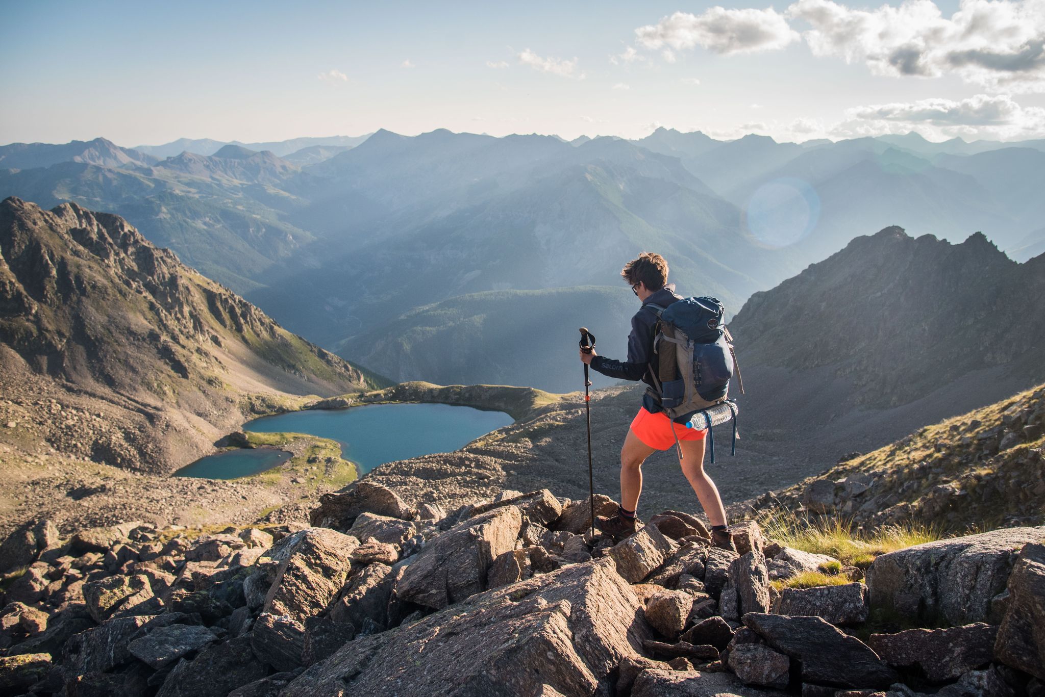
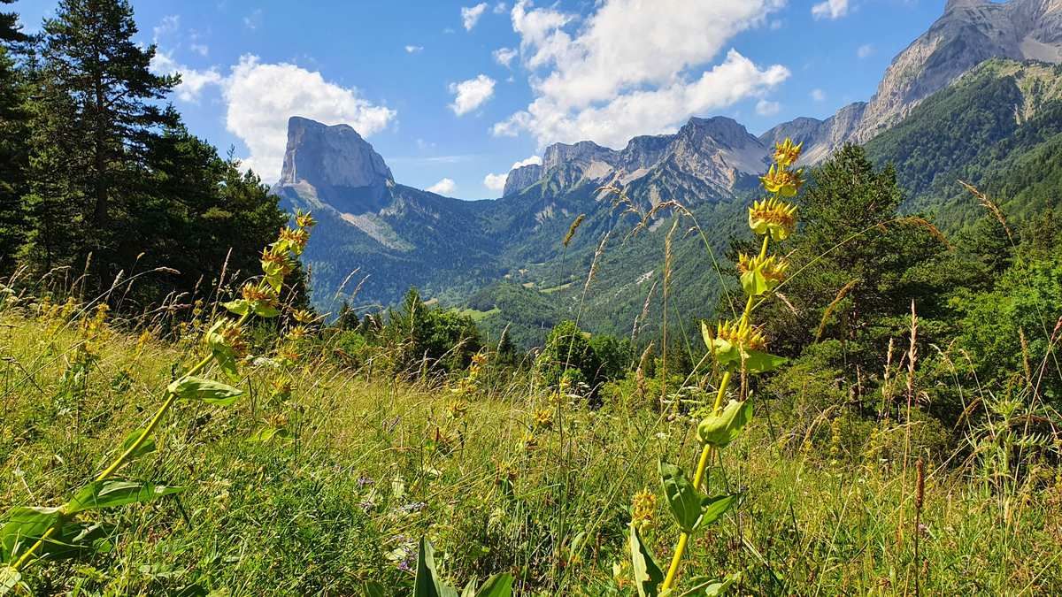
Other adventures around Réserve naturelle des Hauts Plateaux du Vercors


Tips from the Community

the waterfall doesn't seem to flow in summer
1
0


Very charming little village in the heart of the Vercors on the road to the Col de Menée
0
0

The fountain is located just below, one of the rare water points on the heights
1
0

The Col de l'Aupet, located at an altitude of 1,627 meters, is located exactly where a geological fault passes. This favored the erosion and separation of Mont Aiguille from the Vercors highlands. From this passage of the Aupet, you can reach the foot of the cliffs of Mont Aiguille as well as the upper Vercors via the Pas de la Selle.
3
0
Here, Mont Aiguille seems surprisingly close. This is the charm of this hike: enjoying different views of this iconic mountain at each turn of the trail.
0
0
There are many waterfalls with this name in France. You find this surname for waterfalls almost everywhere, from the Jura to the Pyrenees via the Alpine massif. Very close to this waterfall, you have splendid landscapes to admire on this tour of Mont Aiguille.
1
0
Frequently Asked Questions
How many waterfall hiking trails are available in Réserve naturelle des Hauts Plateaux du Vercors?
There are several dedicated waterfall hiking trails in the Réserve naturelle des Hauts Plateaux du Vercors, offering diverse experiences. You can find a range of options, from shorter loops to longer, more challenging excursions.
Are there any easy waterfall hikes suitable for beginners in the Vercors Nature Reserve?
While many trails in the Vercors can be challenging, there are moderate options that are suitable for those looking for a less strenuous experience. For example, the Cascade des Fauges – The Fauge waterfall loop from Piste olympique de luge de Villard-de-Lans is a moderate 3.4-mile trail that takes about 1 hour 40 minutes to complete.
What is the best time of year to hike to waterfalls in Réserve naturelle des Hauts Plateaux du Vercors?
The best time to experience the waterfalls in Réserve naturelle des Hauts Plateaux du Vercors is typically in spring and early summer. During these seasons, snowmelt from the Vercors Massif feeds the rivers, resulting in the most impressive water flow. Autumn also offers beautiful scenery with changing foliage, though water levels might be lower.
Are there any circular waterfall walks in the Vercors region?
Yes, many of the waterfall trails in the Vercors are designed as circular routes, allowing you to start and end at the same point. An example is the La Clotquandisi Café – Cascade des Fauges loop from Piste olympique de luge de Villard-de-Lans, a moderate 2.7-mile path that takes you through forested areas to the Cascade des Fauges.
What kind of terrain can I expect on waterfall hikes in Réserve naturelle des Hauts Plateaux du Vercors?
Waterfall hikes in Réserve naturelle des Hauts Plateaux du Vercors traverse a varied landscape characterized by dramatic limestone cliffs, deep river gorges, and extensive forests. You can expect a mix of ascents and descents, often on rocky or earthy paths, leading to impressive natural water features.
Are there any longer, more challenging waterfall trails for experienced hikers?
For experienced hikers seeking a longer challenge, the region offers more demanding routes. The Roybon Hut – Cascade des Fauges loop from Les Ritons is a difficult 17.6-mile trail that leads through varied mountain terrain and typically takes over 9 hours to complete.
What do other hikers say about the waterfall trails in Réserve naturelle des Hauts Plateaux du Vercors?
The waterfall trails in Réserve naturelle des Hauts Plateaux du Vercors are highly regarded by the komoot community, with an average rating of 4.5 stars from over 600 reviews. Hikers often praise the stunning natural beauty, the impressive cascades, and the well-maintained paths that offer a rewarding outdoor experience.
Are there any natural monuments or viewpoints near the waterfall trails?
Yes, the region surrounding the waterfall trails is rich in natural beauty and offers several notable points of interest. You might encounter impressive summits like Grand Veymont or Pié Ferré (Le Dôme), or discover unique features like the Baume Rousse Spring. The Pas des Chattons also offers a great viewpoint.
Can I find places to eat or stay near the waterfall hiking areas?
While the Réserve naturelle des Hauts Plateaux du Vercors is a protected wilderness area, you can find amenities in nearby villages and towns. Some trails may pass by huts like the Pré Peyret Hut or the Jasse du Play Refuge, which can offer basic shelter or refreshments depending on the season and specific hut. It's advisable to check availability beforehand.
Are there any less crowded waterfall hikes in the Vercors?
To find less crowded waterfall hikes, consider visiting during off-peak seasons or exploring trails that are slightly longer or more remote. While specific routes vary in popularity, choosing a weekday or an early morning start can often lead to a more tranquil experience, even on well-known paths.
What should I consider regarding weather conditions for waterfall hikes in the Vercors?
Weather in the Vercors can change rapidly, especially at higher elevations. It's crucial to check the forecast before heading out. Be prepared for varying conditions, including sun, rain, and cooler temperatures, even in summer. Paths near waterfalls can also be slippery due to spray and moisture.
Are there any other scenic hikes in the Vercors that offer great views, even if they don't feature waterfalls?
Beyond the waterfall trails, the Réserve naturelle des Hauts Plateaux du Vercors is renowned for its panoramic mountain views. For instance, the Beautiful view of the mountains – Pont de l'Amour loop from Piste olympique de luge de Villard-de-Lans is a moderate 5.2-mile hike that offers stunning vistas of the surrounding peaks and valleys.
Most popular routes around Réserve naturelle des Hauts Plateaux du Vercors
Most popular attractions around Réserve naturelle des Hauts Plateaux du Vercors

Get inspired with the komoot mobile app


Explore more
Browse the best Hikes in other regions.
