The best gravel rides around Réserve naturelle des Hauts Plateaux du Vercors
4.5
(75)
481
riders
67
rides
Gravel biking around Réserve naturelle des Hauts Plateaux du Vercors offers diverse terrain across its 17,000 hectares. The region features extensive alpine pastures and dense forests, including mountain pines, alongside dramatic limestone cliffs and rocky outcrops. The plateau environment, at around 1,000 meters in altitude, presents inclined surfaces with limestone folds and sparse vegetation, providing varied landscapes for gravel cycling.
Best gravel bike trails around Réserve naturelle des Hauts Plateaux du Vercors
- The most popular gravel bike trail is Châtillon-en-Diois…
Last updated: November 16, 2026
5.0
(1)
10
riders
46.0km
04:11
1,370m
1,370m
Hard gravel ride. Very good fitness required. Mostly paved surfaces.
7
riders
47.6km
04:40
1,540m
1,540m
Hard gravel ride. Very good fitness required. Mostly paved surfaces.

5
riders
57.3km
05:53
2,030m
2,020m
Hard gravel ride. Very good fitness required. Mostly paved surfaces.
9
riders
48.5km
03:49
1,230m
1,220m
Hard gravel ride. Very good fitness required. Mostly paved surfaces.
5
riders
42.1km
03:16
1,020m
1,020m
Hard gravel ride. Very good fitness required. Mostly paved surfaces.
Get access to more routes and recommendations from other explorers.
Already have an account?
Our route recommendations are based on thousands of hikes, rides, and runs completed by other people on komoot.
Start today with a free account
Your next adventure awaits.
Popular around Réserve naturelle des Hauts Plateaux du Vercors
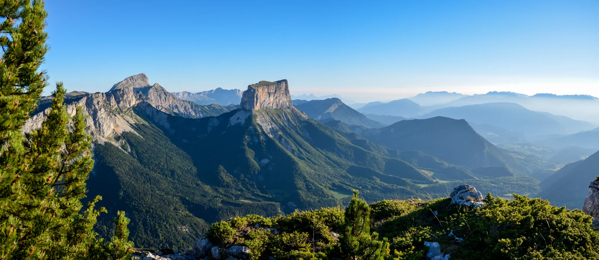
Grand Tour of the Vercors – first section
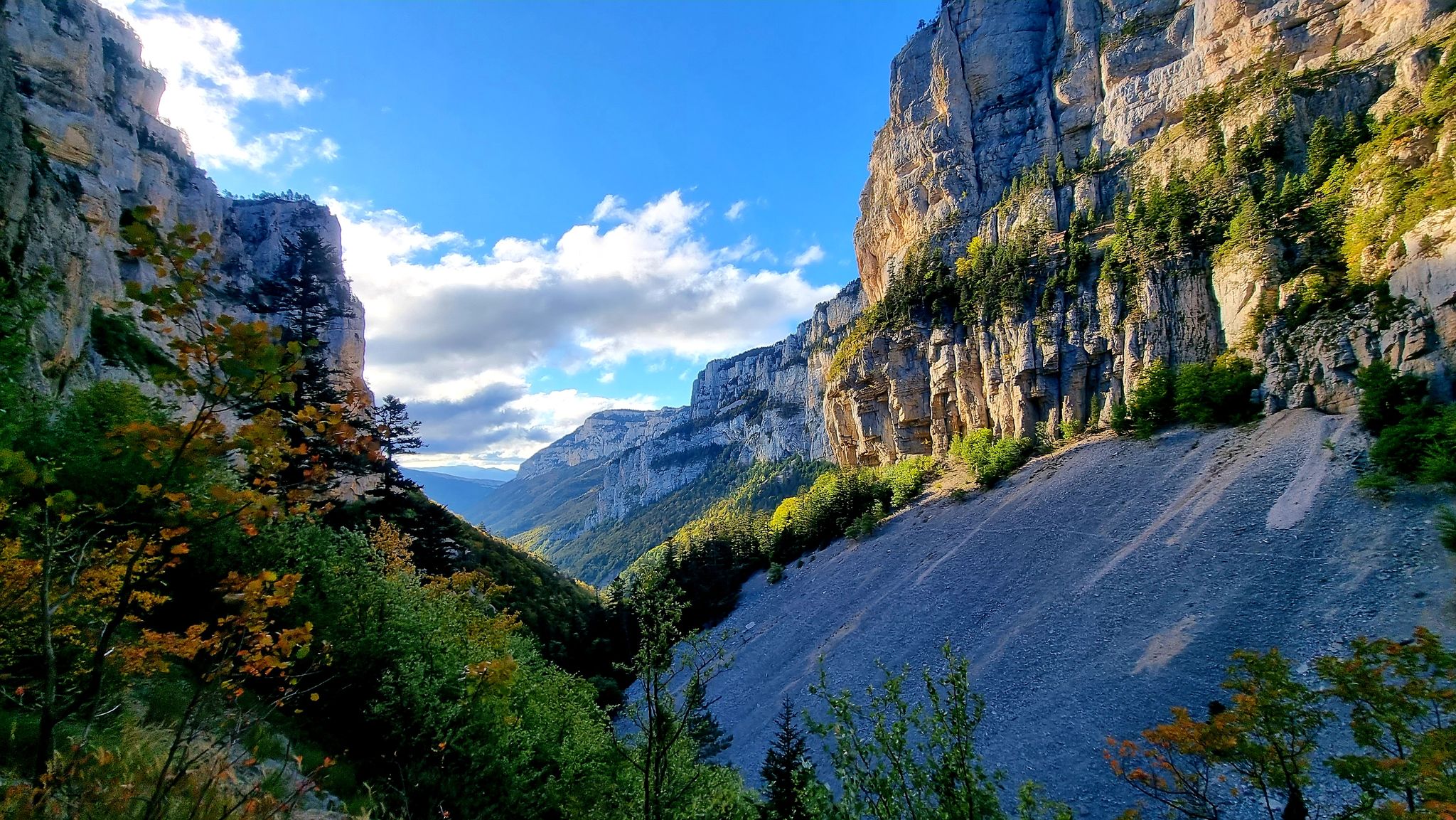
Écrins, Belledonne and Vercors – HexaTrek, Hautes-Alpes
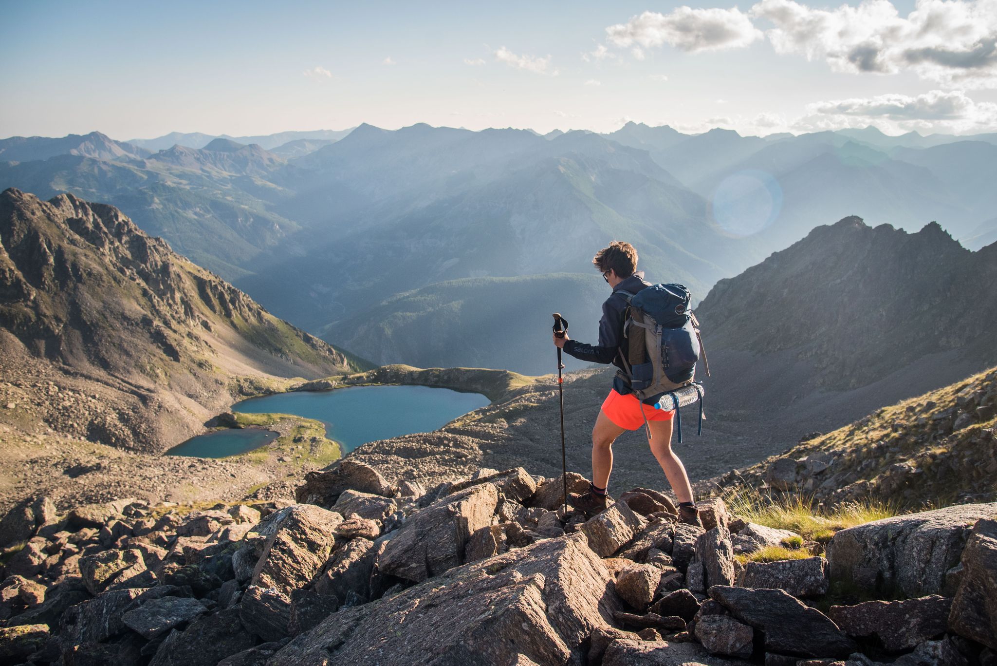
France — two weeks of hiking at its best!
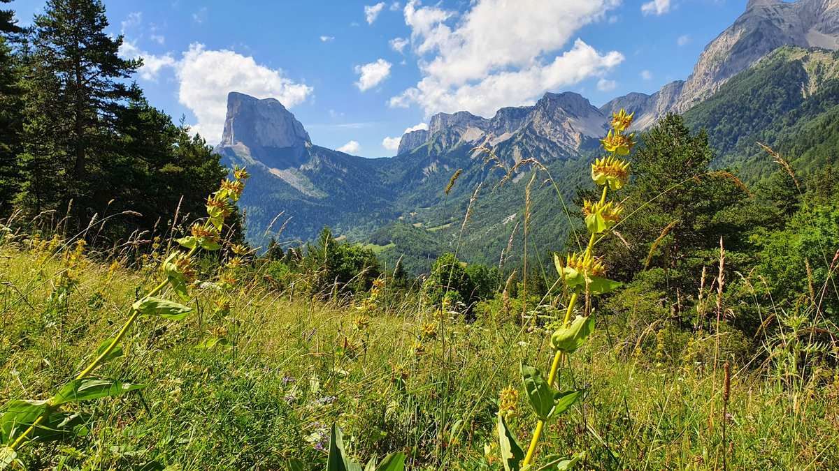
High altitude adventure — hiking across the high plateaus of the Vercors
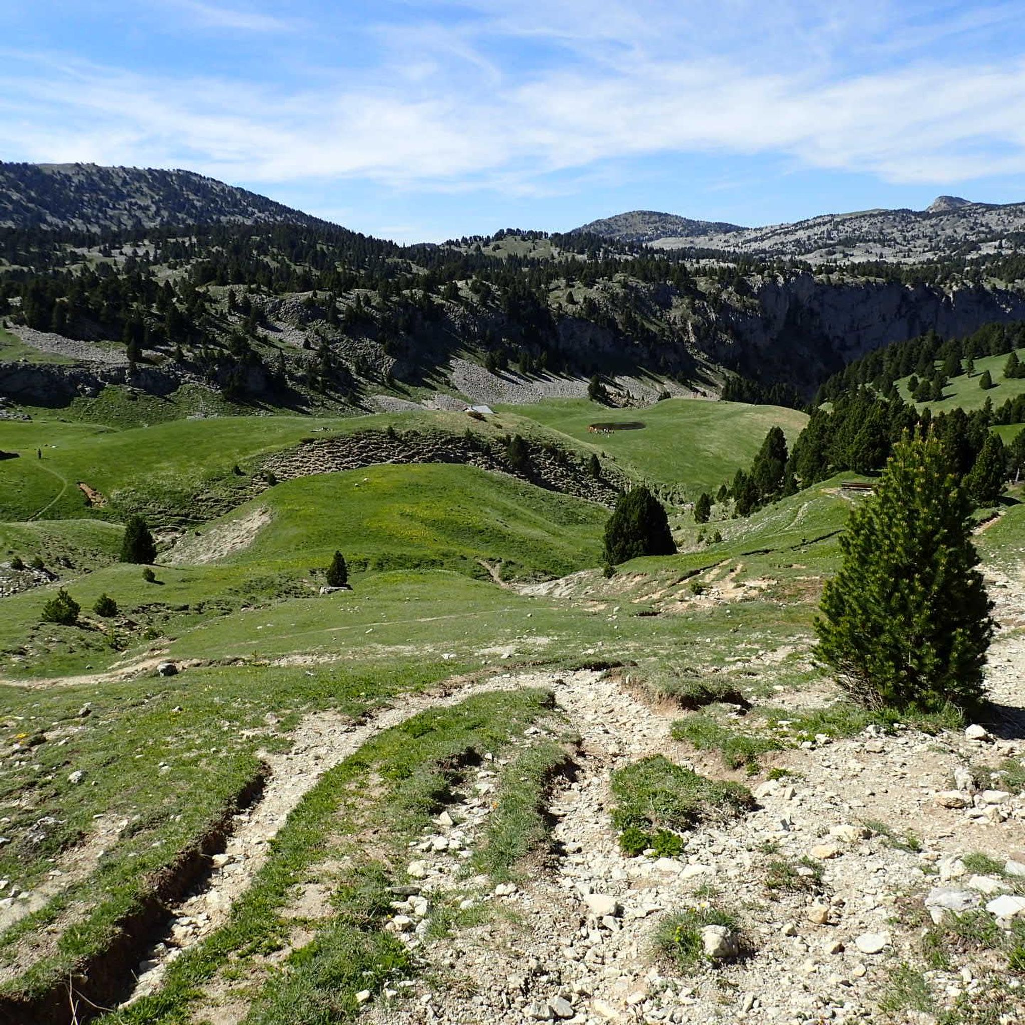
Road Cycling Routes around Réserve naturelle des Hauts Plateaux du Vercors
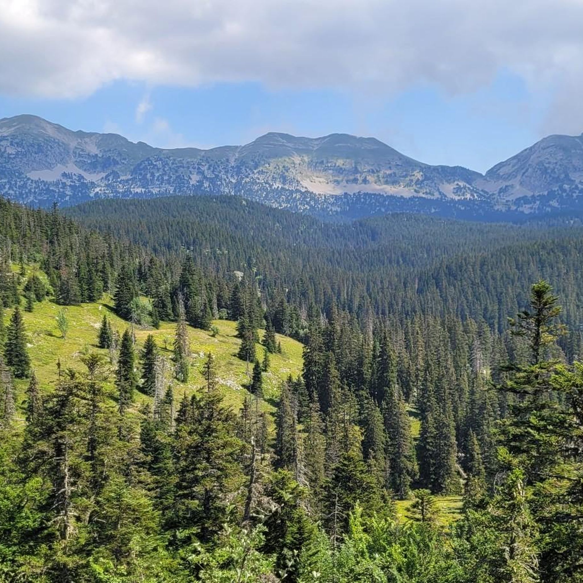
Hiking around Réserve naturelle des Hauts Plateaux du Vercors
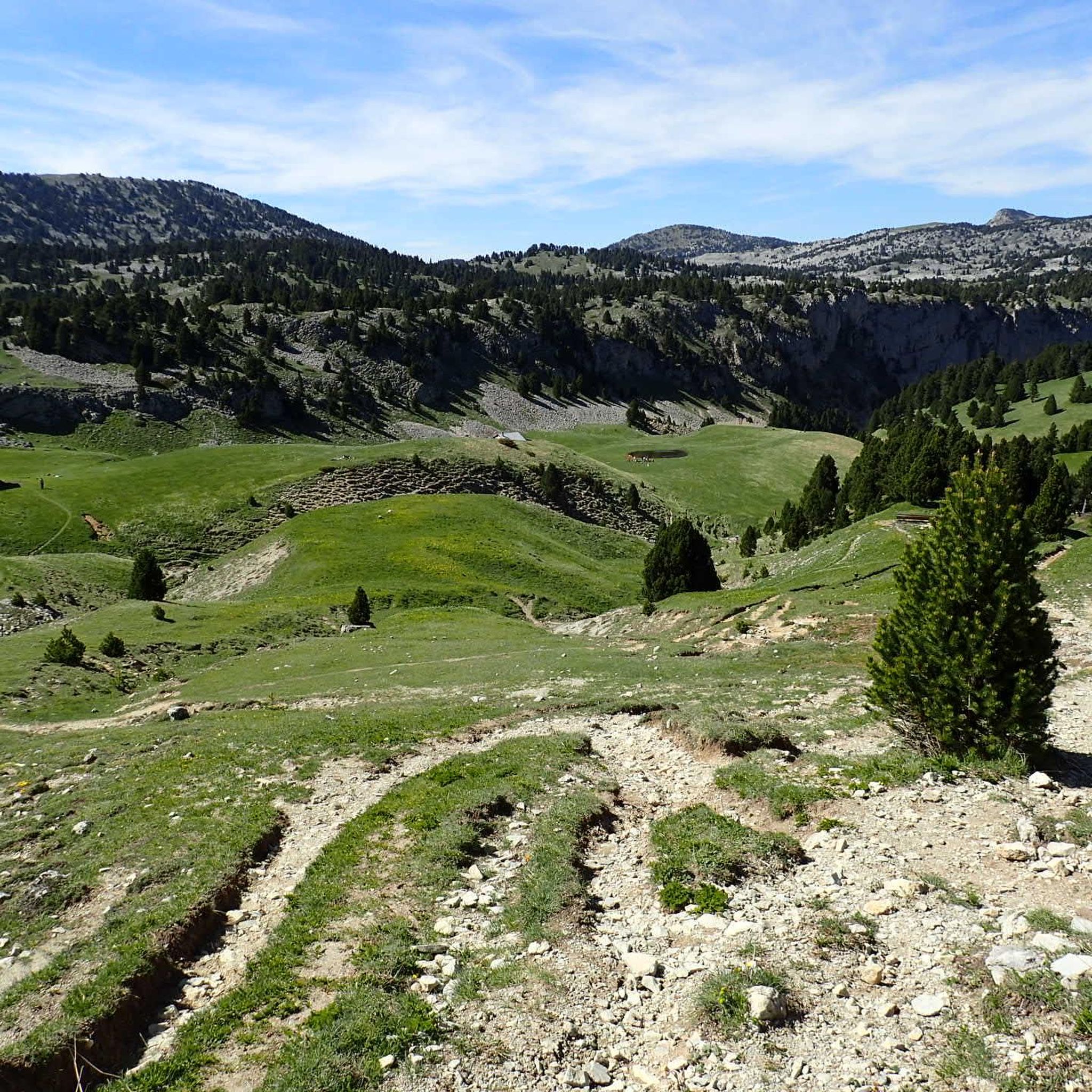
MTB Trails around Réserve naturelle des Hauts Plateaux du Vercors
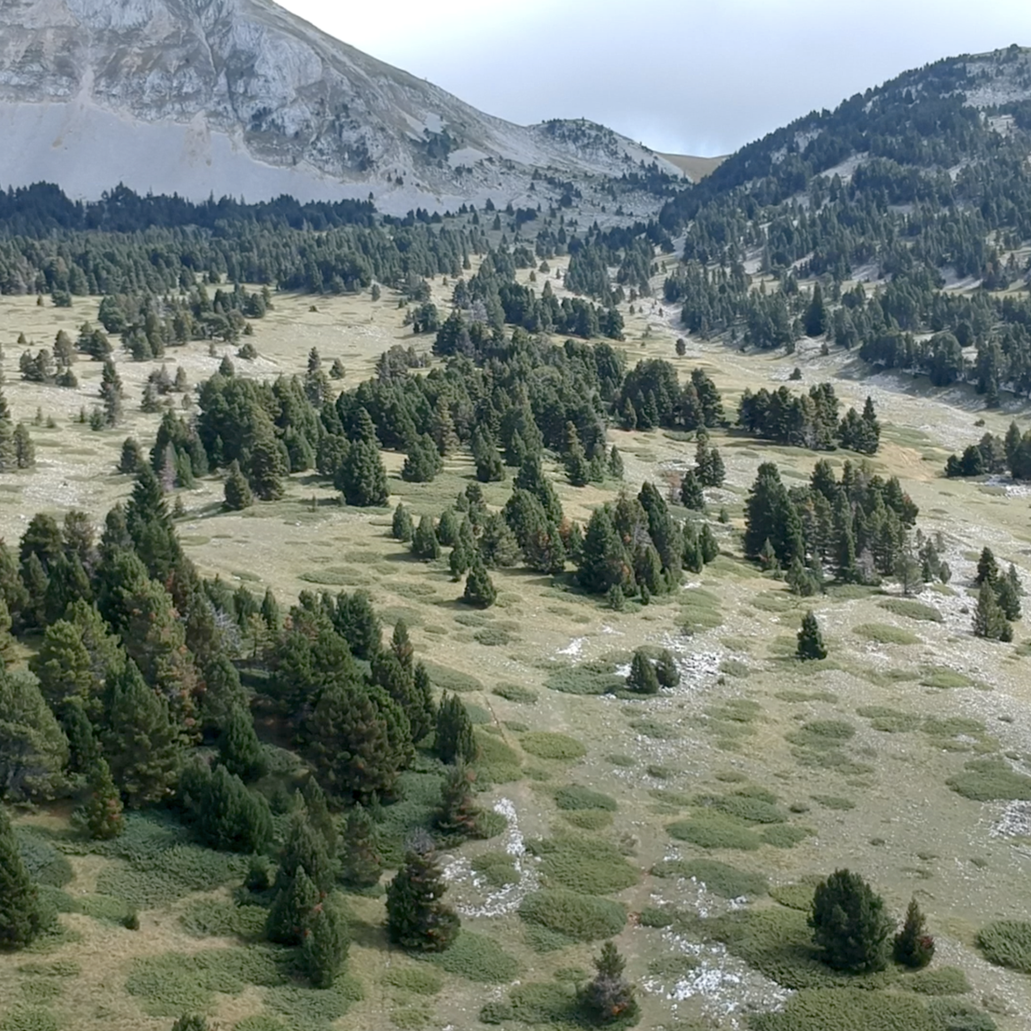
Running Trails around Réserve naturelle des Hauts Plateaux du Vercors
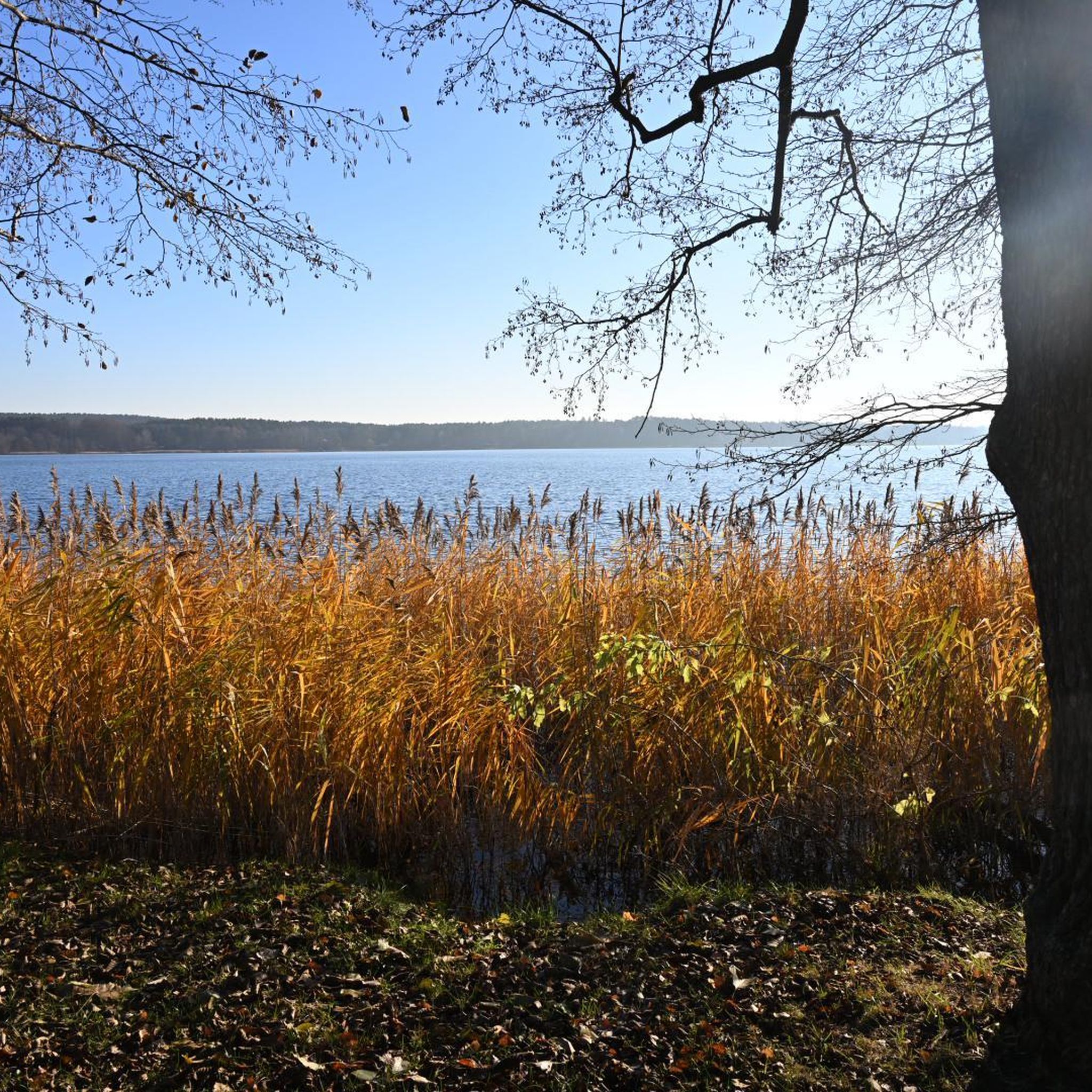
Mountain Hikes around Réserve naturelle des Hauts Plateaux du Vercors
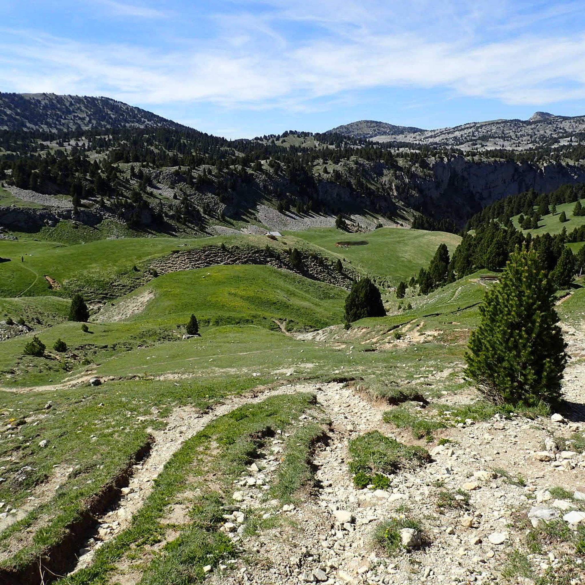
Cycling around Réserve naturelle des Hauts Plateaux du Vercors
Other adventures around Réserve naturelle des Hauts Plateaux du Vercors


Tips from the Community

Col de Menée (1,402 m) is one of the most fascinating and scenic passes straddling the border between Drôme and Isère, right on the edge of the Vercors Regional Natural Park.
9
0
If you are looking for a road that combines the adrenaline of driving with a primordial landscape, the Gorges des Gâts are a must-see stop in the south of the Vercors. This incredible canyon, about 10 kilometers long, carved into the limestone rock by the Gats stream, connects the valley of Châtillon-en-Diois to the Col de Grimone. The route winds along a narrow and winding road that hugs vertical rock faces, crossing stone bridges and short tunnels dug directly into the rock. The view is impressive: the grandeur of the cliffs contrasts with the green of the vegetation and the blue of the stream flowing at the bottom of the gorge.
8
0

In the afternoon heat on the south-facing slope, very little shade. The last 3km are steep. Warning, no water at La Bâtie (cemetery gate locked), refill well before!
0
0
Trail quite chaotic and steep, more MTB than gravel. We were on a tour so loaded, we regretted it even though the view is incredible.
0
0

Magnificent view from the Papavet pass on Mont Aiguille.
0
0

From Saint-Michel-les-Portes, it's about 7 km at an average gradient of 8%. The last few kilometers often reach double digits. A cruel climb if it's the last one of your day...
0
0
Frequently Asked Questions
How many gravel bike trails are available in Réserve naturelle des Hauts Plateaux du Vercors?
There are over 60 gravel bike trails available in the Réserve naturelle des Hauts Plateaux du Vercors, offering a wide range of experiences for different skill levels. The komoot community has explored these routes over 400 times.
What kind of terrain can I expect on gravel bike trails in the Réserve naturelle des Hauts Plateaux du Vercors?
The terrain is incredibly diverse, ranging from 1,050 meters to 2,341 meters in altitude. You'll encounter extensive alpine pastures, dense forests (including mountain pines), dramatic limestone cliffs, and rocky outcrops. Many routes utilize former cross-country ski tracks, providing excellent gravel paths during warmer months, and some sections offer a steppe-like atmosphere on the plateau.
What is the best time of year for gravel biking in the Vercors?
The warmer months, typically spring through autumn, are ideal for gravel biking. During this period, former cross-country ski trails transform into excellent gravel routes. The reserve experiences a unique blend of Atlantic, Continental, Mediterranean, and Alpine climatic influences, so checking local weather conditions before your ride is always recommended.
Are there options for less experienced gravel bikers?
While many routes are challenging, there are options for less experienced riders. The region offers a mix of trails, including some easier green trails. For example, the Die – The town center loop from Châtillon-en-Diois offers a moderate experience with significant elevation gain over 36.5 km.
Are there challenging gravel bike routes for experienced riders?
Yes, the Réserve naturelle des Hauts Plateaux du Vercors is known for its challenging routes. Over 50 of the available trails are rated as difficult, featuring significant elevation gains and technical sections. An example is the Miscon Pass – Miscon Pass loop from Châtillon-en-Diois, which covers 57.4 km with over 2,000 meters of ascent.
What natural features or landmarks can I see along the gravel bike trails?
The Vercors massif is rich in natural beauty and historical sites. You can encounter dramatic limestone cliffs, vast alpine pastures, and dense forests. Notable landmarks and viewpoints include the iconic Mont Aiguille, various mountain passes like Bachassons Pass and Pas de la Ville Pass, and peaks such as Grand Veymont. You might also come across the Pas de l'Aiguille Memorial, which holds historical significance related to the French Resistance.
Are there any circular gravel bike routes in the area?
Many of the gravel bike trails in the Réserve naturelle des Hauts Plateaux du Vercors are designed as loops, allowing you to start and end in the same location. For example, the Châtillon-en-Diois – Miscon Pass loop from Châtillon-en-Diois is a popular circular route covering 41.5 km.
What kind of wildlife might I spot while gravel biking in the Vercors?
The Vercors is a biodiversity hotspot. Keep an eye out for marmots, chamois, and golden eagles. Rarer species like the Alpine ptarmigan, European hare, and even wolves are present. Thanks to reintroduction programs, you might also spot Alpine ibex, griffon vultures, and bearded vultures, especially in the higher plateaus.
What do other gravel bikers enjoy most about the Réserve naturelle des Hauts Plateaux du Vercors?
The area is highly rated by the komoot community, with an average score of 4.7 stars from over 50 reviews. Riders frequently praise the sense of wilderness, the diverse landscapes ranging from alpine pastures to dramatic cliffs, and the extensive network of trails that offer panoramic views and a true escape into nature.
Are there any specific long-distance gravel routes or greenways in the Vercors?
Yes, the Vercors region is home to the Grande Traversée du Vercors (GTV), which offers multi-day adventures with gravel-friendly sections. Additionally, the Via Vercors is a developed greenway, approximately 40 kilometers long, that connects several villages using rural roads, forest tracks, and low-traffic secondary roads, making it highly accessible for gravel riders.
Is the Réserve naturelle des Hauts Plateaux du Vercors suitable for family gravel biking?
While the reserve itself is a wild, protected area with many challenging routes, the broader Vercors region, including the Via Vercors greenway, offers more accessible and family-friendly options. These routes utilize rural roads and forest tracks, providing a safer and more enjoyable experience for families.
Most popular routes around Réserve naturelle des Hauts Plateaux du Vercors
Most popular attractions around Réserve naturelle des Hauts Plateaux du Vercors

Get inspired with the komoot mobile app


Explore more
Browse the best Gravel rides in other regions.
