The best gravel rides in Mississippi National River And Recreation Area
4.2
(4)
52
riders
14
rides
Gravel biking in Mississippi National River And Recreation Area offers a diverse experience across a 72-mile urban river park. The terrain includes a mix of paved, limestone aggregate, and packed gravel surfaces, suitable for various skill levels. This area features limestone bluffs, restored prairie oak savannahs, wetlands, and bottomland hardwood forests, providing varied landscapes for riding. The Mississippi River itself is a central feature, with sections offering scenic riverine views and a significant elevation drop through a narrow gorge.
Best…
Last updated: September 4, 2026
2
riders
97.9km
06:32
400m
400m
Embark on a challenging gravel biking adventure with the Fort Snelling – Mill Ruins Park loop from West Bank, a route that seamlessly blends natural riverine landscapes with urban history.…
6
riders
35.0km
02:19
210m
210m
Moderate gravel ride. Good fitness required. Mostly paved surfaces. Suitable for all skill levels.

Sign up for free
4
riders
57.1km
04:00
280m
280m
Moderate gravel ride. Good fitness required. Mostly paved surfaces. Suitable for all skill levels.
5
riders
Easy gravel ride. Great for any fitness level. Mostly paved surfaces. Suitable for all skill levels.
1
riders
58.0km
04:04
290m
290m
Moderate gravel ride. Good fitness required. Mostly paved surfaces. Suitable for all skill levels.
Get access to more routes and recommendations from other explorers.
Sign up for free
Already have an account?
Our route recommendations are based on thousands of hikes, rides, and runs completed by other people on komoot.
Start today with a free account
Your next adventure awaits.
Login or Signup
Popular around Mississippi National River And Recreation Area

The rhythms of the river – road trip along the Mississippi
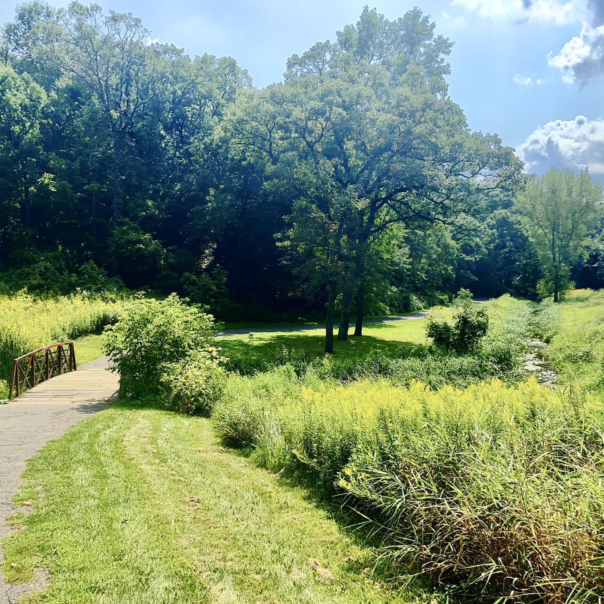
Hiking in Mississippi National River And Recreation Area

Running Trails in Mississippi National River And Recreation Area
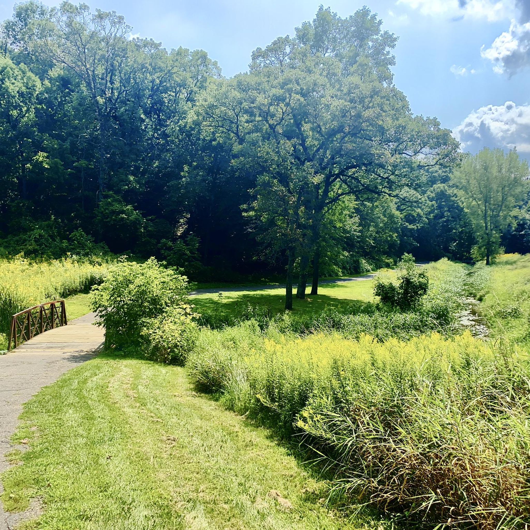
Cycling in Mississippi National River And Recreation Area
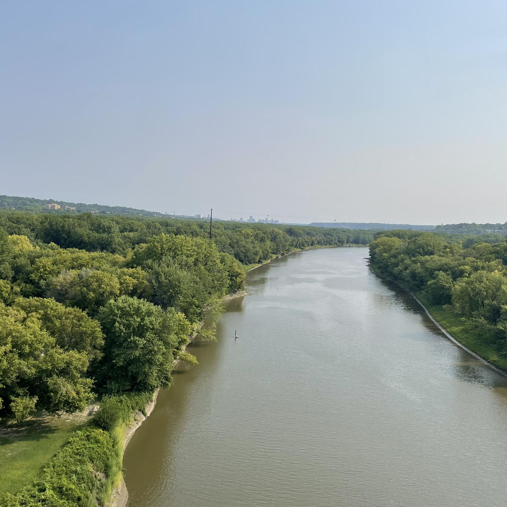
Road Cycling Routes in Mississippi National River And Recreation Area
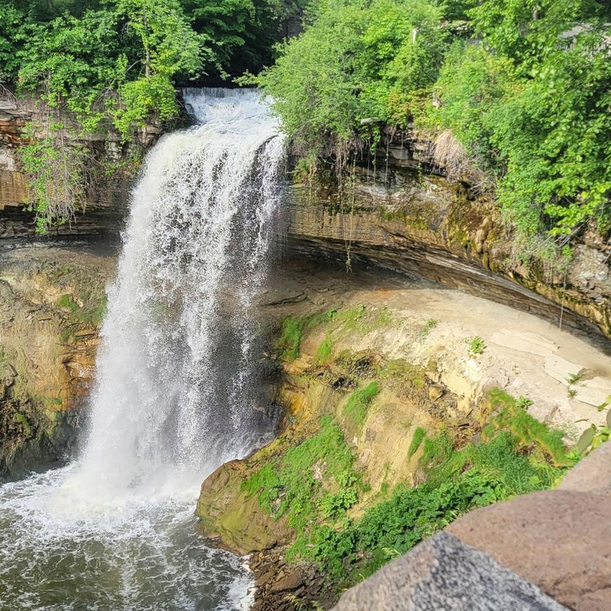
MTB Trails in Mississippi National River And Recreation Area
Other adventures in Mississippi National River And Recreation Area

Tips from the Community

This bridge is iconic and not only that but it allows to great trails to connect and lets users cross over a busy 4 lane street.
1
0
I hadn't been here in maybe 40 years since I was in 6th grade. There is quite a bit to see here in this rebuilt fort. Neat to see how many different trades people they had at the fort and what life would have been like on the frontier.
2
0
There are several parking lots here to bring your bike on your car and get on on the many paved and mountain bike trails up and down the river.
0
0
Big bridge with a neat bike section mounted lower than the car section. Nice way to cross the river on a bike.
2
0
Nice view over Black Dog Lake, not many birds out today
0
0
Nice river views from the bike path.
0
0
I didn't get up on the High Bridge, but even from the trail along the river, very nice views.
0
0
Frequently Asked Questions
How many gravel bike trails are available in the Mississippi National River and Recreation Area?
There are over 10 gravel bike routes available in the Mississippi National River and Recreation Area, offering diverse experiences for different skill levels. You'll find a mix of easy, moderate, and a few more challenging options.
What kind of terrain can I expect on gravel bike trails in the Mississippi National River and Recreation Area?
The terrain in the Mississippi National River and Recreation Area is quite varied. You can expect a mix of paved sections, crushed limestone aggregate, and packed natural surfaces. The routes often feature scenic riverine landscapes, limestone bluffs, and urban park settings, providing a dynamic riding experience.
Are there gravel bike trails suitable for beginners in the Mississippi National River and Recreation Area?
Yes, the area offers several easy gravel bike trails perfect for beginners. For instance, the View of the Minnesota River – Old Cedar Avenue Bridge loop from Bloomington Central is an easy 15.0-mile (24.1 km) path that provides beautiful views of the Minnesota River and crosses the historic Old Cedar Avenue Bridge.
What are some notable landmarks or natural features I can see along the gravel bike routes?
Many routes offer views of significant landmarks and natural features. You can encounter the iconic Minnehaha Falls, a beautiful 53-foot waterfall, or explore areas near the historic Fort Snelling State Park. The Mississippi River itself is a constant feature, offering stunning riverine views and the opportunity to see diverse ecosystems like restored prairie oak savannahs and wetlands.
Are there any circular gravel bike routes in the Mississippi National River and Recreation Area?
Yes, many of the gravel bike routes in the area are designed as loops. For example, the Cedar Lake South Beach – Minnesota River Bluffs Trail loop from West 21st Street is a popular 48.6-mile (78.2 km) circular route that takes you through varied landscapes. Another option is the View of the Minnesota River – Old Cedar Avenue Bridge loop from 16 Av S, an easy 16.3-km loop.
What is the best time of year to go gravel biking in the Mississippi National River and Recreation Area?
The Mississippi National River and Recreation Area is suitable for year-round bicycling, including gravel riding, thanks to its diverse trail surfaces. Spring and fall offer pleasant temperatures and vibrant scenery, while summer provides lush green landscapes. Even in winter, some packed gravel and natural surfaced trails can be enjoyed, though conditions may vary.
Are the gravel bike trails in the Mississippi National River and Recreation Area family-friendly?
Yes, many of the trails, especially the easy-rated ones, are suitable for families. The mix of paved and packed gravel surfaces makes them accessible for various ages and skill levels. Always check the specific route details for distance and elevation to ensure it matches your family's capabilities.
What do other gravel bikers enjoy most about riding in this area?
The area is highly rated by the komoot community, with an average score of 4.2 stars. Reviewers often praise the diverse landscapes, from riverine views to bluffs and urban parks, and the accessibility of trails for various skill levels. The combination of natural beauty and historical sites also makes for a rewarding experience.
Where can I find parking for gravel biking trailheads in the Mississippi National River and Recreation Area?
Parking is generally available at various access points and regional parks within or adjacent to the Mississippi National River and Recreation Area. For specific routes, it's best to check the starting point of your chosen komoot tour for detailed parking information, as many routes begin near public parking facilities or parks like Coon Rapids Dam Regional Park.
Are there any specific attractions with waterfalls along the gravel bike routes?
Yes, the area is home to the beautiful Minnehaha Falls, a 53-foot waterfall located within Minnehaha Park. While not directly on a gravel-only route, it's a popular destination easily accessible from many biking trails in the region and a highlight for many visitors.
What are the typical lengths of gravel bike trails in the Mississippi National River and Recreation Area?
Gravel bike trails in the area vary significantly in length. You can find shorter, easy loops around 15 miles (24 km), such as the View of the Minnesota River – Old Cedar Avenue Bridge loop. There are also longer, moderate routes, like the Minnehaha Falls – Fort Snelling loop, which spans about 40.8 miles (65.7 km).
Most popular routes in Mississippi National River And Recreation Area
Most popular attractions in Mississippi National River And Recreation Area

Get inspired with the komoot mobile app


Explore more
Browse the best Gravel rides in other regions.
