Mississippi National River And Recreation Area
Mississippi National River And Recreation Area
The best road cycling routes in Mississippi National River And Recreation Area
4.4
(70)
1,232
riders
45
rides
Road cycling in Mississippi National River And Recreation Area features a 72-mile protected corridor through Minneapolis–Saint Paul, Minnesota, integrating natural beauty with urban and historical attractions. The terrain primarily consists of paved trails and dedicated paths, often following the Mississippi River. Cyclists encounter varied landscapes including riverfronts, urban parklands, and areas around the confluence of the Mississippi and Minnesota Rivers.
Best road cycling routes in Mississippi National River And Recreation Area
- The most popular road cycling route is River to…
Last updated: August 31, 2026
16
riders
29.2km
01:20
240m
240m
Easy road ride. Great for any fitness level. Mostly well-paved surfaces and easy to ride.
20
riders
54.2km
02:41
340m
340m
Moderate road ride. Good fitness required. Some segments of this route may be unpaved and difficult to ride.

Sign up for free
108km
04:17
340m
340m
Moderate road ride. Good fitness required. Mostly well-paved surfaces and easy to ride.
3
riders
12.6km
00:34
100m
110m
Easy road ride. Great for any fitness level. Mostly well-paved surfaces and easy to ride.
1
riders
40.5km
01:48
250m
250m
Easy road ride. Great for any fitness level. Mostly well-paved surfaces and easy to ride.
Get access to more routes and recommendations from other explorers.
Sign up for free
Already have an account?
Our route recommendations are based on thousands of hikes, rides, and runs completed by other people on komoot.
Start today with a free account
Your next adventure awaits.
Login or Signup
Popular around Mississippi National River And Recreation Area

The rhythms of the river – road trip along the Mississippi
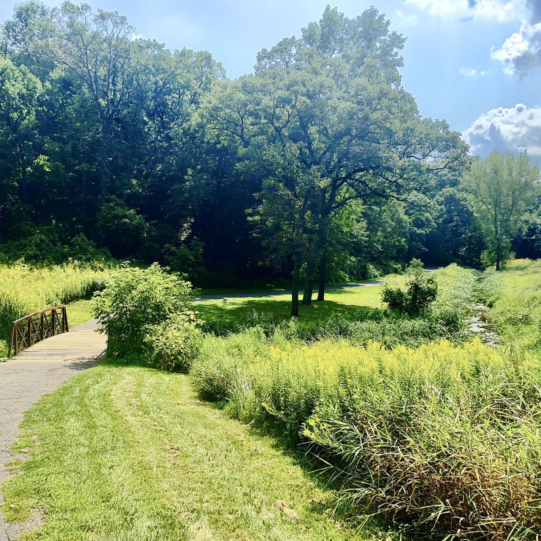
Hiking in Mississippi National River And Recreation Area
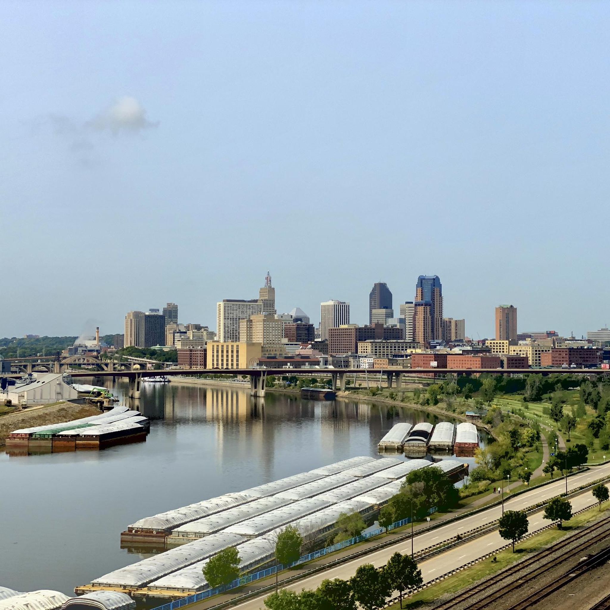
Running Trails in Mississippi National River And Recreation Area
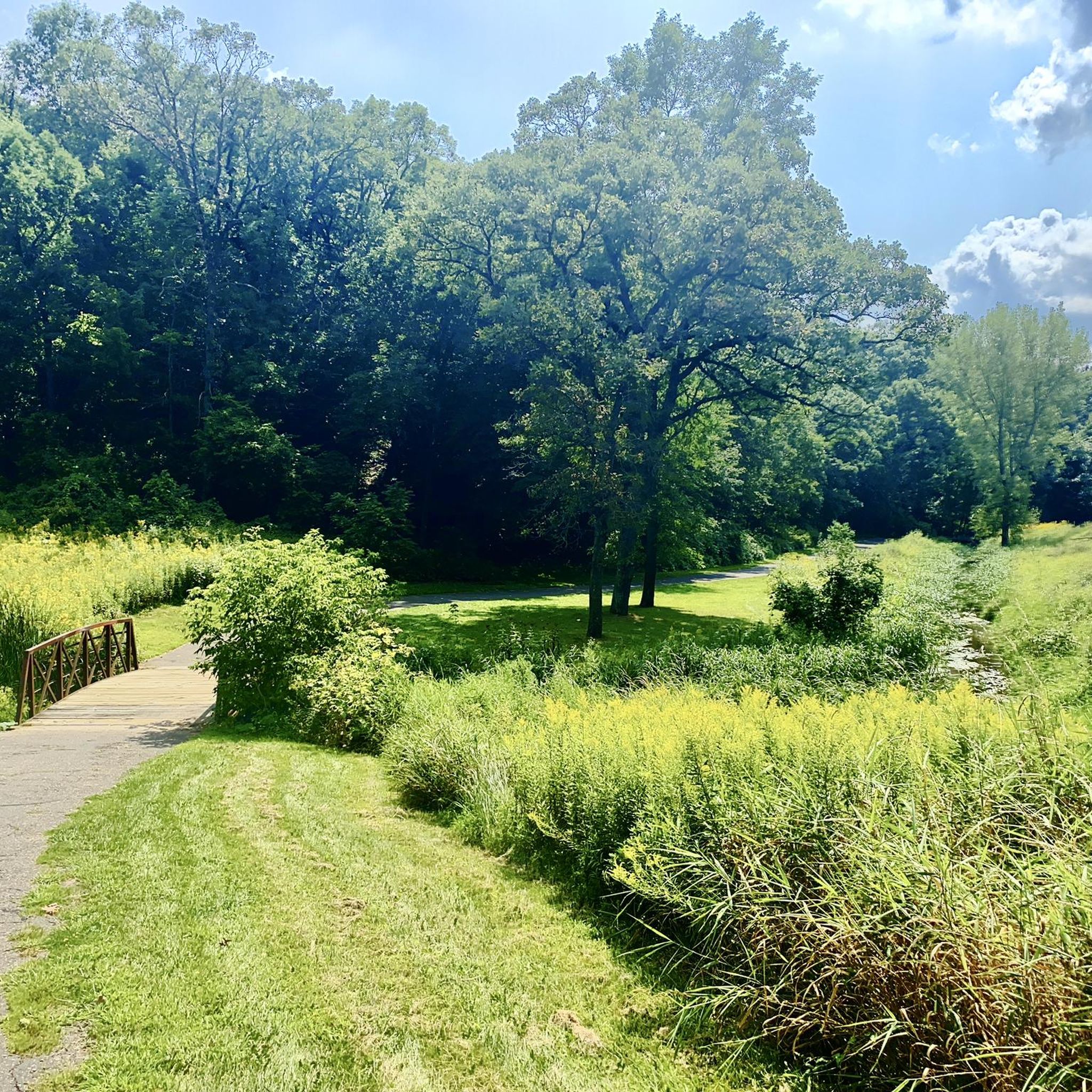
Cycling in Mississippi National River And Recreation Area
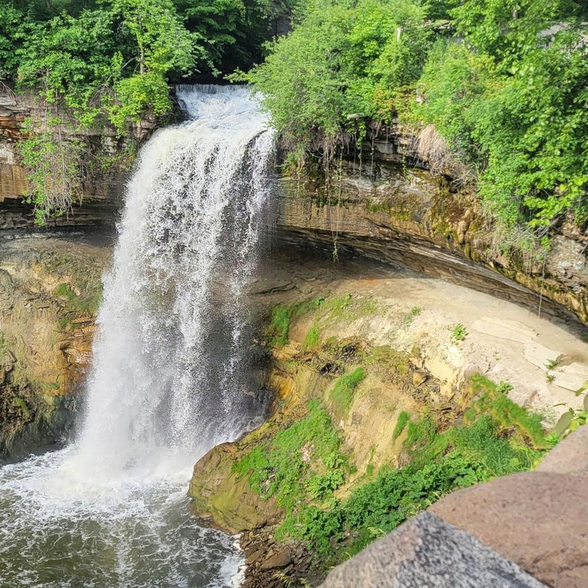
MTB Trails in Mississippi National River And Recreation Area

Gravel biking in Mississippi National River And Recreation Area
Other adventures in Mississippi National River And Recreation Area

Tips from the Community

Love this park especially the bike path and the archery range
0
0
This is a pretty big park that has lots of features, mountain bike trails, paved trails, ballfields, playgrounds, goes for blocks.
1
0
Nice river views from the bike path.
0
0

Fun bike with my family. Lots of wildflowers and different birds to see. Awesome views!
0
0

Here is a link to a Minnesota Department of Natural Resources map of summer trails at Fort Snelling State Park (https://files.dnr.state.mn.us/maps/state_parks/spk00154_summer.pdf). Although bicycles are allowed on many of the park trials, the legend on the map shows, sadly, that the circumferential trail on Pike Island is for hiking only.
0
0

at the tip of Pike Islands a very nice packed Earth bike route around this little Island
0
0

Walking or biking the iconic Stone Arch Bridge is a must-do while in Minneapolis. The path of the bridge offers stunning views of the Minneapolis skyline and the Mississippi River. The bridge itself is a beautiful stone masterpiece.
0
0

The Mississippi River Trail features a mix of paved and gravel sections, following the river through diverse landscapes. This stretch of the trail is entirely paved, winding through trees with river views. Scenic, smooth, and refreshing path.
0
0
Frequently Asked Questions
How many road cycling routes are available in the Mississippi National River and Recreation Area?
There are over 40 road cycling routes in the Mississippi National River and Recreation Area, catering to various skill levels. You'll find 26 easy routes, 15 moderate routes, and 1 challenging route, ensuring options for everyone.
What are some notable landmarks or attractions I can see while road cycling in the area?
The region is rich with natural and historical sights. You can cycle past the stunning Minnehaha Falls, explore the historic Saint-Anthony-Falls area, or visit the significant Confluence of the Mississippi and Minnesota Rivers. Many routes also offer views of the iconic Stone Arch Bridge and the historic Fort Snelling.
Are there any family-friendly road cycling routes in the Mississippi National River and Recreation Area?
Yes, the area offers several easy routes suitable for families. The Battle Creek Regional Park Loop is an easy 7.8-mile (12.6 km) route, perfect for a leisurely family ride. Many paved trails within regional parks like Coon Rapids Dam Regional Park also provide safe and enjoyable options for all ages.
What is the best time of year for road cycling in the Mississippi National River and Recreation Area?
The best time for road cycling is typically from spring through fall, when the weather is mild and the trails are clear. Summer offers lush greenery and full access to all attractions, while spring and autumn provide beautiful foliage and cooler temperatures. Always check local weather conditions before heading out.
Are there any loop routes for road cyclists in the region?
Yes, many routes are designed as loops, offering varied scenery without retracing your path. A popular option is the River to River Greenway and Mississippi River Trail Loop, an 18.1-mile (29.2 km) route combining two prominent greenways. Another great choice is the Mississippi River Twin Cities Loop, covering 25.2 miles (40.5 km).
What kind of terrain and elevation can I expect on road cycling routes here?
The road cycling routes primarily feature paved trails and dedicated paths, often following the Mississippi River. While generally flat, some routes include gentle inclines and descents, especially when traversing urban parklands or crossing bridges. For example, the Mississippi River Greenway has an elevation gain of about 340 meters over its 33.7 miles (54.2 km).
Where can I find parking for road cycling routes in the Mississippi National River and Recreation Area?
Parking is generally available at various regional parks and trailheads throughout the area. Popular starting points often include designated parking lots at Minnehaha Park, Battle Creek Regional Park, and other access points along the Mississippi River Trail. Specific parking details can often be found on individual route descriptions or park websites.
Is public transport accessible near the cycling routes?
Given its location within Minneapolis–Saint Paul, many parts of the Mississippi National River and Recreation Area are well-served by public transport, including bus and light rail services. This allows for convenient access to various trailheads and points of interest, making it easier to plan point-to-point rides or reach starting locations without a car.
Are there any cafes or pubs near the road cycling routes?
As the area spans through Minneapolis and Saint Paul, you'll find numerous cafes, restaurants, and pubs conveniently located near many of the cycling routes, especially in urban sections and popular park areas like the St. Anthony Falls Historic District or near Minnehaha Park. These offer great spots for a break or a meal.
What do other road cyclists enjoy most about cycling in the Mississippi National River and Recreation Area?
The area is highly rated by the komoot community, with an average score of 4.9 stars. Reviewers often praise the extensive network of paved greenways, the stunning river views, and the unique blend of natural beauty with urban and historical attractions. The variety of routes, from easy loops to longer journeys, is also frequently highlighted.
Are permits required for road cycling on the trails?
Generally, no special permits are required for road cycling on the public trails within the Mississippi National River and Recreation Area. However, it's always a good idea to check the specific regulations for any regional parks or protected areas you plan to visit, as some may have unique rules or require entrance fees for vehicles.
Can I bring my dog on the road cycling trails?
Many trails within the Mississippi National River and Recreation Area are dog-friendly, provided your pet is kept on a leash. However, specific rules can vary by park or trail segment. Always look for signage or check the regulations of the particular park or trail you plan to visit to ensure a pleasant experience for everyone.
Are there any longer, more challenging road cycling routes available?
For those seeking a longer ride, the Mississippi River Trail: Minneapolis to Dayton Loop is a moderate 66.9-mile (107.6 km) trail. This route leads through riverfront areas and urban landscapes, offering a substantial ride that typically takes around 4 hours and 17 minutes to complete.
Most popular routes in Mississippi National River And Recreation Area
Most popular attractions in Mississippi National River And Recreation Area

Get inspired with the komoot mobile app


Explore more
Browse the best Road cycling routes in other regions.
