The best gravel rides around Niederburnhaupt
4.3
(34)
339
riders
56
rides
Gravel biking around Niederburnhaupt offers a network of routes suitable for exploring the local landscape. The region features varied terrain, including paths through woodlands and open countryside, with gentle elevation changes. These trails provide opportunities for both leisurely rides and more challenging excursions. The area's natural setting makes it suitable for outdoor activities on two wheels.
Best gravel bike trails around Niederburnhaupt
- The most popular gravel bike trail is Les deux Traubach, a 12.2 miles (19.7 km) trail that…
Last updated: October 6, 2026
4.5
(2)
13
riders
33.7km
02:30
320m
320m
Moderate gravel ride. Good fitness required. Mostly paved surfaces. Suitable for all skill levels.
19.7km
01:27
170m
170m
Moderate gravel ride. Good fitness required. Mostly paved surfaces. Suitable for all skill levels.

15.0km
01:14
180m
180m
Moderate gravel ride. Good fitness required. Some segments of this route may be unpaved and difficult to ride.
11.1km
00:55
110m
120m
Moderate gravel ride. Great for any fitness level. Some segments of this route may be unpaved and difficult to ride.
10.9km
00:47
40m
40m
Easy gravel ride. Great for any fitness level. Mostly paved surfaces. Suitable for all skill levels.
Get access to more routes and recommendations from other explorers.
Already have an account?
Our route recommendations are based on thousands of hikes, rides, and runs completed by other people on komoot.
Start today with a free account
Your next adventure awaits.
Tips from the Community

Ammertzwiller – destroyed front village and mine warfare Ammertzwiller was one of the particularly contested locations on the Sundgau front during World War I. From September 1914, the front line ran immediately west of the village. German troops held Ammertzwiller, while French positions were located near Gildwiller-le-Mont, among other places. On January 1, 1915, the entire population was evacuated. Shortly thereafter, the abandoned village itself became a combat zone. The church was destroyed on January 8, 1915. By the end of the war, Ammertzwiller was almost completely devastated. The place became particularly known for mine warfare. From May 1915, French sappers and German pioneers dug tunnels under the enemy positions and detonated them. The underground warfare lasted until early 1916 and left numerous explosion craters. A striking event was the German mine detonation on July 11, 1915. The explosion under the German outpost Sautter created a massive crater. The mine crater, now filled with water, is preserved as the "Entonnoir" and serves as a reminder of this form of warfare. German troops also built an extensive system of bunkers, shelters, and underground facilities. Today, the approximately 10.5 km long "Circuit de la mémoire d’Ammertzwiller" leads through this former front landscape. Around 15 information boards explain the local history. After the war, the residents returned to a largely destroyed village. Reconstruction left a lasting mark on Ammertzwiller. Today's Saint-Étienne church, with its depictions, preserves the memory of evacuation, war, and return. Particularly worth seeing: the water-filled mine crater and the Circuit de la mémoire d’Ammertzwiller.
0
0

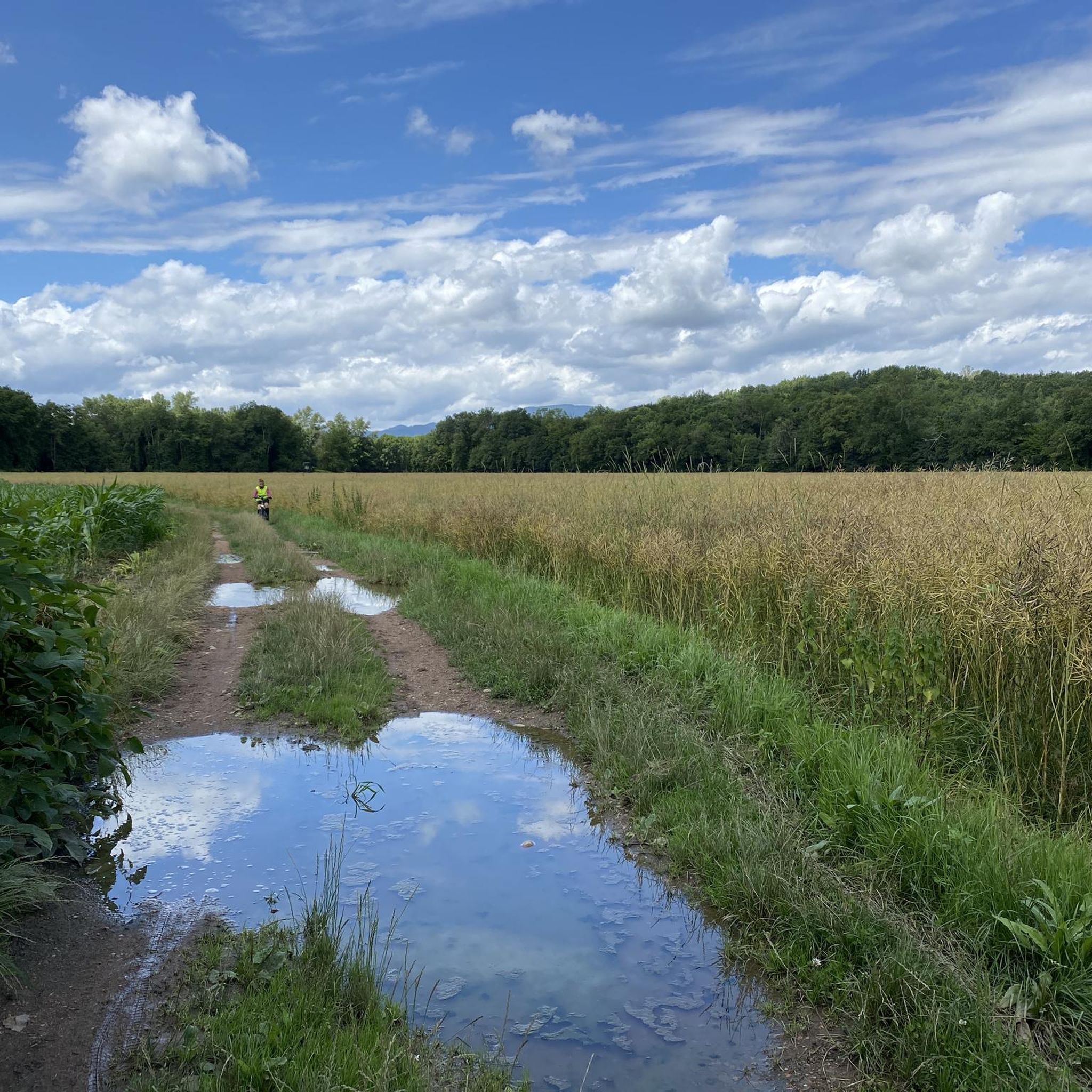
The French and European National Cycleway is a great cycleway winding along side of the Rhine Rhone Canal with very little climbing, for those who do not like to climb. However those who are climbing shy, must be aware of the wind in this area. A lot of the locks still have the former lock man’s house which adds a bit of charm to every lock. One is never alone on this route as there is a constant passing of bicycles, both leisure and racing bikes.
0
0

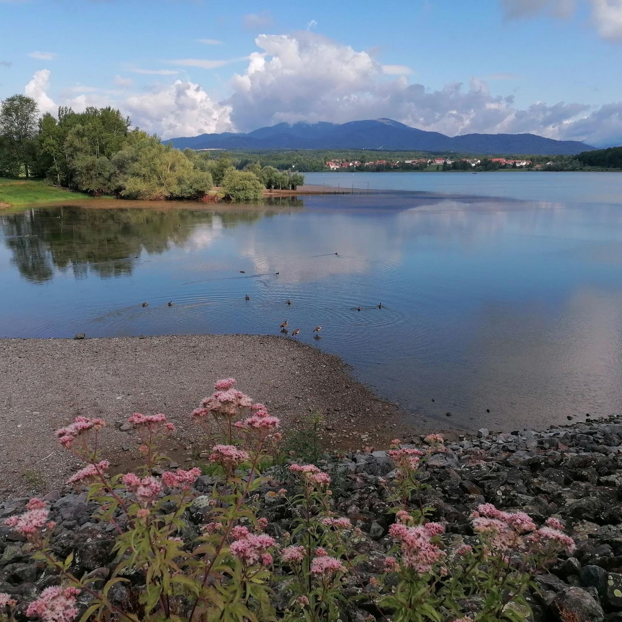
Ammertzwiller is a quiet Alsatian village that is surprisingly convenient for cyclists on the road. There are a few mini markets, restaurants and even a chemist – ideal for stocking up on provisions or taking a break. The village is set in rolling countryside and offers lovely picnic spots overlooking the fields. Information boards in the village tell the story of the local history during the First World War, making this stop not only practical but also meaningful."
8
0

The Port fluvial de Dannemarie is no ordinary marina – it’s an unexpected oasis along the canal, where boats bob gently and herons keep watch. For cyclists, it feels like a little refuge: a place to take a break from the rhythm of your pedals and take on the rhythm of the water. Here you can refill your water bottle, stretch your legs on a bench in the shade or a little further away at the restaurant, or just watch the sun play on the surface of the canal.
9
1
The 'Tocsin de l'écologie' in Hagenbach is a striking work of art and symbol of environmental awareness, located along the canal at the towpath. This installation, reminiscent of a warning bell, calls for reflection on the impact of man on nature. For cyclists, it is a surprising and meaningful stop along the route, in the middle of the peaceful Alsatian landscape.
9
0
The Écluse d’Eglingen is a small, active lock on the Canal du Rhône au Rhin, near the village of Eglingen in the Sundgau region. This spot is popular with cyclists due to its quiet location along the 'EuroVelo 6' and regional cycle routes. The lock is surrounded by greenery and offers a bench and shade, but no facilities.
9
0

Impressive little memory.
4
1
Frequently Asked Questions
How many gravel bike trails are available around Niederburnhaupt?
There are over 50 gravel bike trails in the Niederburnhaupt region, offering a wide variety of options for different skill levels and preferences. The komoot community has mapped 59 routes in total.
What kind of terrain can I expect on gravel bike trails in Niederburnhaupt?
The gravel bike trails around Niederburnhaupt feature varied terrain, including paths through woodlands and open countryside. You'll encounter gentle elevation changes, with routes winding through valleys like the Traubach and Steinbach, offering a mix of natural surfaces.
Are there options for beginners or easy gravel rides in Niederburnhaupt?
Yes, Niederburnhaupt offers several easy gravel bike routes. For instance, Sur les traces de Jean-Jacques Henner is an easy 6.7-mile (10.9 km) trail with minimal elevation gain, perfect for a relaxed ride. There are 6 easy routes in total.
What about more challenging gravel biking routes in the area?
For those seeking a greater challenge, Niederburnhaupt has 27 difficult gravel biking routes. These trails often feature more significant elevation changes and longer distances, providing a more demanding experience for experienced riders.
What do other gravel bikers say about the trails in Niederburnhaupt?
The gravel biking routes in Niederburnhaupt are highly rated by the komoot community, with an average score of 4.1 stars from over 20 reviews. Riders often praise the varied terrain, the scenic valleys, and the peaceful atmosphere of the woodlands.
Are there any family-friendly gravel bike routes in Niederburnhaupt?
Many of the easier and moderate routes are suitable for families, especially those with some biking experience. Routes with gentle elevation and well-maintained paths, such as Sur les traces de Jean-Jacques Henner, are good choices for a family outing.
Can I find circular gravel bike routes around Niederburnhaupt?
Yes, many of the gravel bike trails in Niederburnhaupt are designed as circular routes, allowing you to start and end at the same point. Examples include Le vallon du Traubach and Le vallon du Steinbach, which offer scenic loops through the local valleys.
Are there scenic routes with good viewpoints in Niederburnhaupt?
The region's trails often wind through picturesque valleys and woodlands, offering natural scenic beauty. While specific designated viewpoints might be rare, routes like Les deux Traubach provide continuous scenic enjoyment as they explore the local landscape.
What can I see along the gravel bike trails in Niederburnhaupt?
Along the gravel bike trails, you can discover various points of interest. Notable attractions include the Port of Dannemarie, the historic Zillisheim Drawbridge and Lock No. 35, and the Valdieu-Lutran lock scale. You might also pass by the Eglingen Lock.
What is the best time of year for gravel biking in Niederburnhaupt?
The best time for gravel biking in Niederburnhaupt is generally from spring through autumn, when the weather is mild and the trails are dry. The natural setting, with its woodlands and valleys, is particularly beautiful during these seasons.
Are there less crowded gravel trails available in Niederburnhaupt?
While some popular routes might see more activity, the extensive network of 59 trails means you can often find quieter paths, especially on weekdays or by exploring some of the less-trafficked moderate and difficult routes. The region's focus on natural landscapes helps maintain a sense of tranquility.
Most popular routes around Niederburnhaupt
Most popular attractions around Niederburnhaupt

Get inspired with the komoot mobile app


Explore more
Browse the best Gravel rides in other regions.
