The best running trails around Niederburnhaupt
4.5
(114)
4,340
runners
16
runs
Jogging routes around Niederburnhaupt offer a diverse landscape for outdoor activity in northeastern France. The region features accessible paths along the Rhône-Rhine Canal, characterized by flat towpaths and gentle elevation, suitable for various running levels. Joggers can also find routes through the gently undulating Sundgau area, which includes wooded hills and fields. Historical elements, such as World War I bunkers, are integrated into some trails, providing unique running experiences.
Best jogging routes around Niederburnhaupt
- The most popular jogging route is…
Last updated: October 5, 2026
5.0
(2)
69
runners
Moderate run. Good fitness required. Mostly paved surfaces. Suitable for all skill levels.
16
runners
7.80km
00:48
30m
30m
Moderate run. Good fitness required. Mostly paved surfaces. Suitable for all skill levels.

9
runners
11.1km
01:12
30m
40m
Moderate run. Good fitness required. Mostly paved surfaces. Suitable for all skill levels.
6
runners
12.1km
01:16
50m
50m
Moderate run. Good fitness required. Mostly paved surfaces. Suitable for all skill levels.
8
runners
Moderate run. Good fitness required. Mostly paved surfaces. Suitable for all skill levels.
Get access to more routes and recommendations from other explorers.
Already have an account?
Our route recommendations are based on thousands of hikes, rides, and runs completed by other people on komoot.
Start today with a free account
Your next adventure awaits.

Tips from the Community

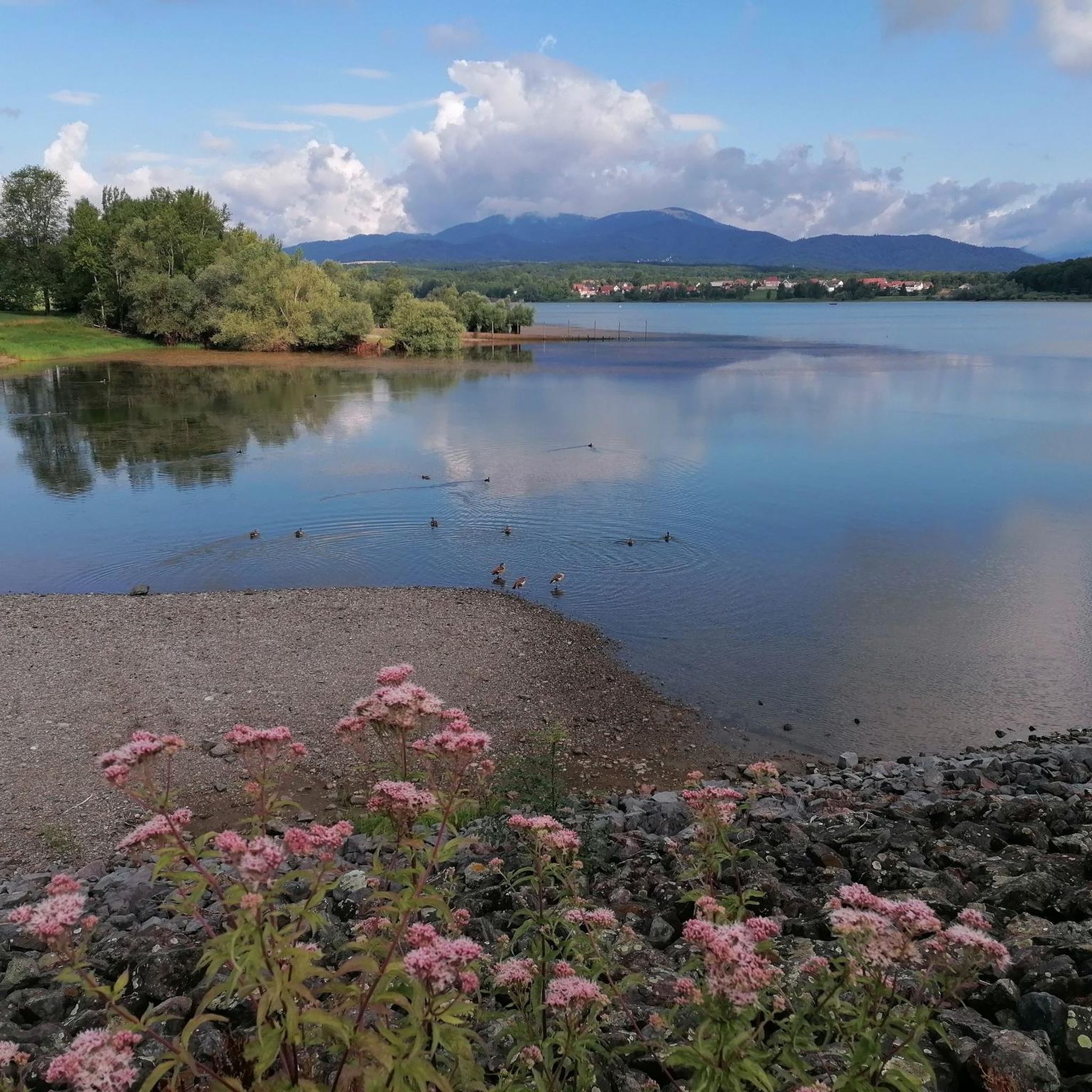
Ammertzwiller – destroyed front village and mine warfare Ammertzwiller was one of the particularly contested locations on the Sundgau front during World War I. From September 1914, the front line ran immediately west of the village. German troops held Ammertzwiller, while French positions were located near Gildwiller-le-Mont, among other places. On January 1, 1915, the entire population was evacuated. Shortly thereafter, the abandoned village itself became a combat zone. The church was destroyed on January 8, 1915. By the end of the war, Ammertzwiller was almost completely devastated. The place became particularly known for mine warfare. From May 1915, French sappers and German pioneers dug tunnels under the enemy positions and detonated them. The underground warfare lasted until early 1916 and left numerous explosion craters. A striking event was the German mine detonation on July 11, 1915. The explosion under the German outpost Sautter created a massive crater. The mine crater, now filled with water, is preserved as the "Entonnoir" and serves as a reminder of this form of warfare. German troops also built an extensive system of bunkers, shelters, and underground facilities. Today, the approximately 10.5 km long "Circuit de la mémoire d’Ammertzwiller" leads through this former front landscape. Around 15 information boards explain the local history. After the war, the residents returned to a largely destroyed village. Reconstruction left a lasting mark on Ammertzwiller. Today's Saint-Étienne church, with its depictions, preserves the memory of evacuation, war, and return. Particularly worth seeing: the water-filled mine crater and the Circuit de la mémoire d’Ammertzwiller.
0
0
Anyone who wants to know more about it should visit this page: https://sundgaufront.pharmafix.com/index.php/interaktive-frontkarte
0
0

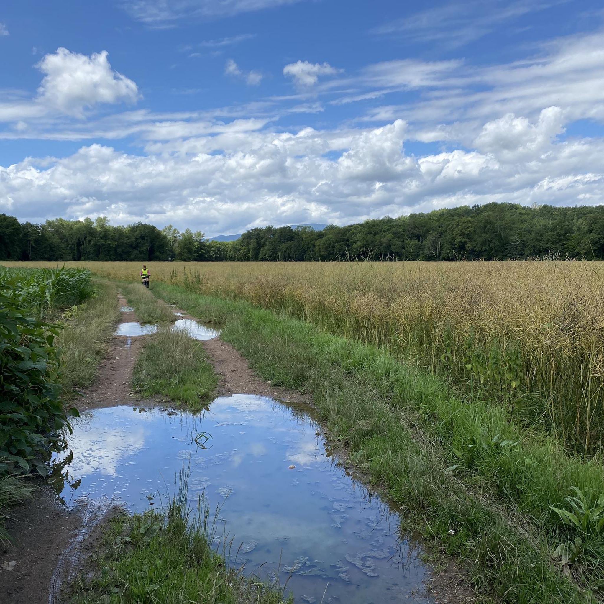
Ammertzwiller is a quiet Alsatian village that is surprisingly convenient for cyclists on the road. There are a few mini markets, restaurants and even a chemist – ideal for stocking up on provisions or taking a break. The village is set in rolling countryside and offers lovely picnic spots overlooking the fields. Information boards in the village tell the story of the local history during the First World War, making this stop not only practical but also meaningful."
8
0

Ammertzwiller is an Alsatian town that offers several useful services and shops for cyclists: mini-markets, restaurants and a pharmacy. Nestled in the middle of the countryside, there are some perfect spots for a picnic. Several panels will inform you about the facts of the First World War.
1
0
Frequently Asked Questions
How many running routes are available in Niederburnhaupt?
There are over 15 running routes around Niederburnhaupt, offering a diverse range of options for joggers. These include routes of varying lengths and difficulties, from easy paths to more challenging trails.
What kind of terrain can I expect on running trails around Niederburnhaupt?
Jogging routes in Niederburnhaupt feature a diverse landscape. You'll find extensive networks of accessible paths along the Rhône-Rhine Canal, which are primarily flat towpaths with easy elevation. The surrounding Sundgau area offers gently undulating terrain with wooded hills and fields. Many routes are also lined with centuries-old plane trees, providing natural shade.
Are there any easy running routes suitable for beginners in Niederburnhaupt?
Yes, Niederburnhaupt offers several easy running routes perfect for beginners. The flat towpaths along the Rhône-Rhine Canal are particularly suitable, providing gentle elevation and accessible surfaces. Overall, there are 3 easy routes available in the area.
Can I find longer distance running trails in the Niederburnhaupt area?
Absolutely. For those looking for longer runs, routes like the Ammertzwiller loop from Burnhaupt-le-Bas cover over 12 km (7.5 miles). Another option is the Artillery observatory – Burnhaupt loop from Burnhaupt-le-Bas, which is approximately 11.8 km (7.3 miles) long.
Are there any scenic landmarks or points of interest along the jogging routes?
Yes, many routes offer scenic views and points of interest. Along the Rhône-Rhine Canal, you can see charming locks and former lock keeper's houses. Some trails provide views of the Vosges mountains and the Black Forest. You might also encounter highlights such as the Port of Dannemarie or the Zillisheim Drawbridge and Lock No. 35.
Are the running routes in Niederburnhaupt suitable for families?
Yes, Niederburnhaupt offers family-friendly options. The flat and accessible paths along the Rhône-Rhine Canal are generally suitable for families. Additionally, themed walks like the Playful walk in Burnhaupt-le-Bas provide an engaging way to explore the village's architecture with riddles, which can be enjoyed by families.
Are there dog-friendly jogging trails in Niederburnhaupt?
While specific dog-friendly designations aren't always marked, many of the natural paths and towpaths along the Rhône-Rhine Canal are generally suitable for running with dogs, provided they are kept on a leash and you follow local regulations. It's always a good idea to check for specific signage on individual trails.
What do other runners think about the trails in Niederburnhaupt?
The running routes in Niederburnhaupt are highly rated by the komoot community, with an average score of 4.4 stars from over 60 reviews. More than 4000 runners have used komoot to explore the area, often praising the diverse terrain, from flat canal paths to wooded hills, and the integration of historical elements.
Are there circular running routes available in Niederburnhaupt?
Many of the running routes in Niederburnhaupt are designed as loops, making them convenient for circular runs. Examples include the popular Singletrack Along the Water – Artillery Position loop from Burnhaupt-le-Bas and the Burnhaupt – Artillery observatory loop from Burnhaupt-le-Bas.
Can I explore historical sites while jogging in Niederburnhaupt?
Yes, Niederburnhaupt offers unique jogging experiences that incorporate historical elements. The region features trails that allow runners to explore World War I fortifications, such as bunkers. The Bunker Trail near Burnhaupt-le-Bas is a notable example, providing an educational tour alongside your run.
What is the best time of year to go running in Niederburnhaupt?
Niederburnhaupt is enjoyable for running throughout much of the year. Spring and autumn offer pleasant temperatures and beautiful scenery. In summer, the plane trees lining many canal paths provide natural shade, making it comfortable even on warmer days. Winter running is also possible, though conditions may vary.
Are there any running routes that follow a river in Niederburnhaupt?
While the primary focus for running is often the Rhône-Rhine Canal, the Thur River also contributes to the area's appeal. Passages along the Thur River are highlighted as very nice for outdoor activities, and you can find highlights like Through the vineyards along the Thur which offers scenic river views.
Most popular routes around Niederburnhaupt
Most popular attractions around Niederburnhaupt

Get inspired with the komoot mobile app


Explore more
Browse the best Running Trails & Routes in other regions.
