The best walks and hikes around Niederburnhaupt
4.5
(497)
2,916
hikers
20
hikes
Hiking around Niederburnhaupt offers diverse terrain, from flat paths along the Rhine-Rhône Canal and Thur River to more challenging, hilly routes. The region features extensive forests, providing shaded trails and varied scenery. Hikers can explore historical elements like World War I bunkers alongside picturesque waterways and agricultural landscapes. This mix provides options for various skill levels, from easy walks to more demanding treks.
Best hiking trails around Niederburnhaupt
- The most popular hiking route is Bunker – 5 bunkers loop from…
Last updated: October 8, 2026
4.7
(13)
146
hikers
9.06km
02:19
30m
30m
Moderate hike. Good fitness required. Easily-accessible paths. Suitable for all skill levels.
4.7
(3)
29
hikers
2.72km
00:41
10m
10m
Easy hike. Great for any fitness level. Easily-accessible paths. Suitable for all skill levels.

5.0
(1)
13
hikers
7.71km
01:58
30m
30m
Easy hike. Great for any fitness level. Easily-accessible paths. Suitable for all skill levels.
12
hikers
5.77km
01:29
20m
20m
Easy hike. Great for any fitness level. Easily-accessible paths. Suitable for all skill levels.
6
hikers
Easy hike. Great for any fitness level. Easily-accessible paths. Suitable for all skill levels.
Get access to more routes and recommendations from other explorers.
Already have an account?
Our route recommendations are based on thousands of hikes, rides, and runs completed by other people on komoot.
Start today with a free account
Your next adventure awaits.

Tips from the Community

More information can be found at https://sundgaufront.pharmafix.com/index.php/interaktive-frontkarte
0
0
Anyone who wants to know more about this should visit this page: https://sundgaufront.pharmafix.com/index.php/interaktive-frontkarte
0
0
Anyone who wants to know more about it should visit this page: https://sundgaufront.pharmafix.com/index.php/interaktive-frontkarte
0
0
Anyone who wants to know more about it should visit this page: https://sundgaufront.pharmafix.com/index.php/interaktive-frontkarte
0
0
If you want to know more about it, you should visit this page: https://sundgaufront.pharmafix.com/index.php/interaktive-frontkarte
0
0
More at; https://burnhaupt-le-bas.fr/sentier-des-bunkers/?utm_source=chatgpt.com Position of the artillery
0
0
Hagendorn Spring The Hagendorn spring near Burnhaupt-le-Bas is a very old and particularly abundant spring. Its name has been documented as a field name since 1412. The name “Hagendorn” probably refers to a place overgrown with hawthorn. The place name Burnhaupt is also likely connected to the old word for “spring” or “well”. The spring gained particular significance for the history of the village during the First World War. After the front stabilized in Upper Alsace, the German-French front ran approximately along the line Cernay – Pont d’Aspach – Ammerzwiller. East of and in the vicinity of this front line, German troops erected numerous concrete shelters, observation posts, and artillery positions. German fortifications were also built at the Hagendorn spring. Traces of the fortification from that time can still be seen there today, including concrete components. The spring was thus part of a larger military positional system that the German troops used during trench warfare. Numerous other shelters and observation posts from this period can be discovered along the current Sentier des Bunkers. The spring itself was re-cased or redesigned in 1931. The current structure partially conceals the remains of the wartime fortification preserved underneath. Thus, the Hagendorn spring connects two very different aspects of the village's history: centuries-old water supply and the military landscape of the First World War. Today, the spring is Station 18 of the Sentier des Bunkers, an approximately nine-kilometer-long historical circular trail through the former front landscape of Burnhaupt-le-Bas. https://burnhaupt-le-bas.fr/sentier-des-bunkers/?utm_source=chatgpt.com
0
0
Anyone who wants to know more about it should visit this page: https://sundgaufront.pharmafix.com/index.php/interaktive-frontkarte
0
0
Frequently Asked Questions
How many hiking trails are available around Niederburnhaupt?
There are over 19 hiking routes available around Niederburnhaupt, offering a variety of experiences for different skill levels. The komoot community has rated these trails highly, with an average score of 4.5 stars.
What kind of terrain can I expect on hikes around Niederburnhaupt?
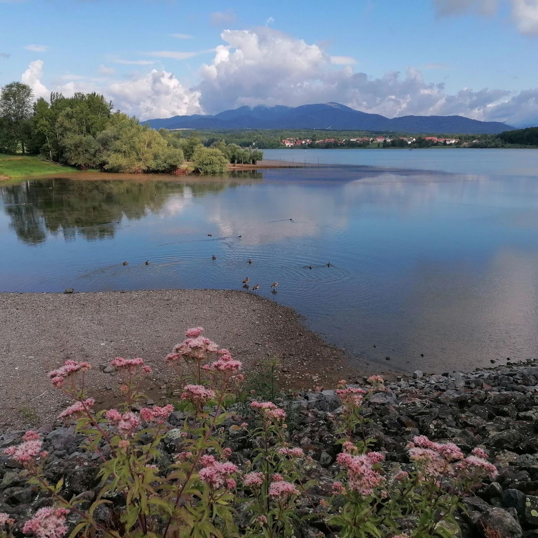
Hiking around Niederburnhaupt offers diverse terrain. You can find flat and easily accessible paths along the Rhine-Rhône Canal and the Thur River. The region also features extensive forests with shaded trails, as well as more challenging, hilly routes that can lead to panoramic views.
Are there hiking options for all skill levels in Niederburnhaupt?
Yes, Niederburnhaupt caters to various preferences and fitness levels. You'll find easy walks lasting up to two hours with minimal elevation gain, suitable for beginners or casual strolls. There are also more demanding treks that can last over five hours and involve significant elevation, requiring good fitness.
Are there any historical sites to explore while hiking near Niederburnhaupt?
Absolutely. The area is rich in history, particularly with structures from World War I. You can explore fortified bunkers, a former washhouse, and a mill. For example, the Bunker – 5 bunkers loop from Burnhaupt-le-Bas and the Artillery Position – First-aid station loop from Burnhaupt-le-Bas are popular routes that incorporate these historical elements.
Can I find trails along water features in Niederburnhaupt?
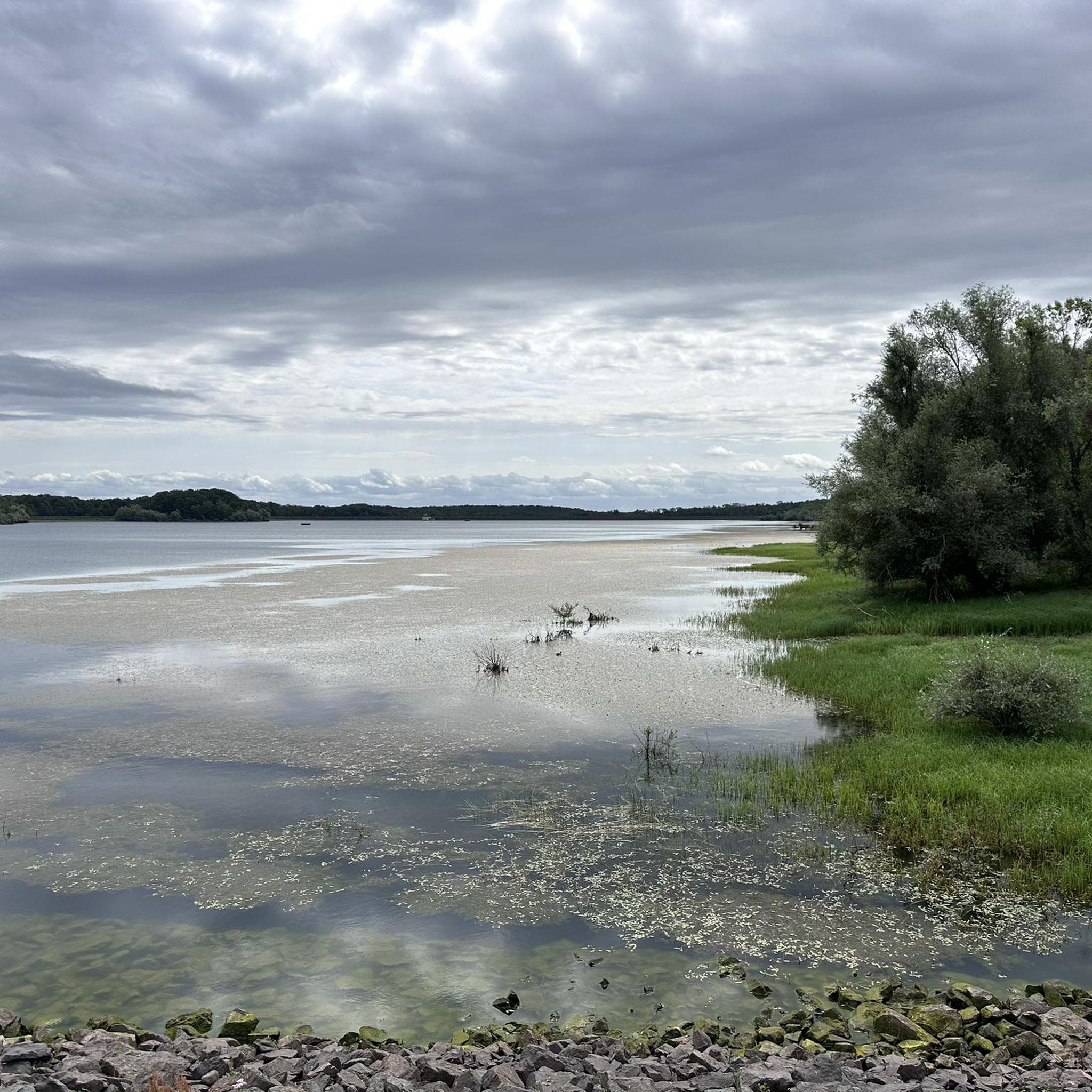
Yes, many routes in the region follow picturesque waterways. You can hike along the Rhine-Rhône Canal, which features interesting locks like the Eglingen Lock, and enjoy passages along the Thur River. These paths often offer varied scenery and peaceful resting spots.
What interesting landmarks or attractions can I discover near the hiking trails?
Beyond the natural beauty, you can discover several charming landmarks. The Port of Dannemarie is an unexpected oasis along the canal, offering amenities. You might also encounter the Zillisheim Drawbridge and Lock No. 35, or the Valdieu-Lutran lock scale, which add historical and engineering interest to your hike.
Are there family-friendly hiking trails in Niederburnhaupt?
Yes, Niederburnhaupt offers several easy walks suitable for families. Many of the paths along the canal and through the extensive forests are relatively flat and safe, providing pleasant experiences for all ages. The Lutterbach Woods, for instance, are known for their pleasant and safe family trails.
Are there any circular hiking routes in the area?
Yes, many of the trails around Niederburnhaupt are designed as loops, allowing you to start and end at the same point. Examples include the 5 bunkers – Bunker loop from Burnhaupt-le-Bas and the Artillery Observation Post – Source Hagendorn loop from Burnhaupt-le-Bas, which are popular circular options.
What do other hikers enjoy the most about hiking in Niederburnhaupt?
The area is highly rated by the komoot community, with an average score of 4.5 stars from over 400 reviews. Hikers often praise the diverse landscapes, from peaceful canal paths and scenic river routes to extensive forests and historical sites. The variety of options for different ability levels is also frequently highlighted.
Can I bring my dog on the hiking trails in Niederburnhaupt?
Generally, dogs are welcome on most hiking trails in the Niederburnhaupt area. It's always advisable to keep your dog on a leash, especially in areas with wildlife or near agricultural land, and to respect local regulations. The varied terrain, including forest paths and canal routes, provides enjoyable walks for you and your canine companion.
Are there any trails that offer panoramic views?
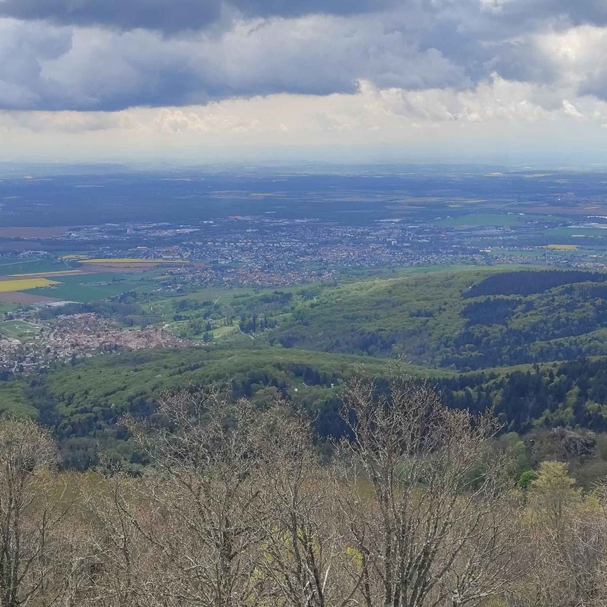
While Niederburnhaupt itself is not mountainous, some routes in the general vicinity, particularly those leading to higher ground or towards areas like Thann, can offer impressive panoramic views of the Alsace plain and even the Swiss Jura. These typically involve more elevation gain than the canal or forest paths.
Is there parking available near the trailheads in Niederburnhaupt?
Parking is generally available at various starting points for hikes around Niederburnhaupt, especially in and around Burnhaupt-le-Bas and other local villages. Specific parking information can often be found on individual route descriptions or local signage.
What is the best time of year to go hiking in Niederburnhaupt?
Niederburnhaupt is appealing for outdoor activities throughout much of the year. Spring and autumn offer pleasant temperatures and beautiful scenery, with blooming flowers or vibrant fall foliage. Summer is also suitable, especially for shaded forest trails or walks along the waterways. Winter hiking is possible, but conditions may vary, so checking local weather is recommended.
Most popular routes around Niederburnhaupt
Most popular attractions around Niederburnhaupt

Get inspired with the komoot mobile app


Explore more
Browse the best Hikes in other regions.
