The best running trails in Minnekhada Regional Park
3.3
(3)
679
runners
47
runs
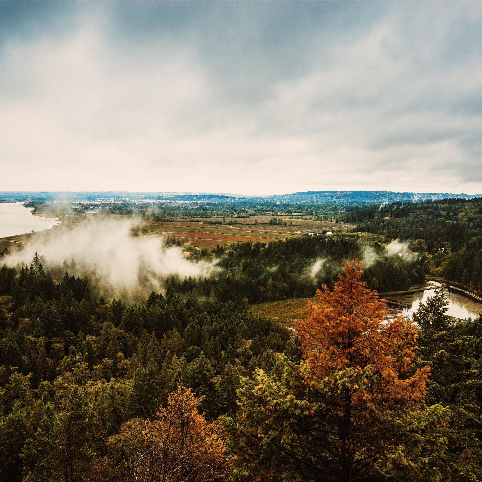
Jogging in Minnekhada Regional Park offers diverse landscapes across approximately 500 acres, featuring a mix of marshlands, dense forests, and hills. The park's varied topography provides both gentle paths and more challenging routes, with the Pitt River bordering its eastern side. Prominent features include significant marsh areas, trails winding through deciduous and conifer forests, and several rocky lookout points.
Best jogging routes in Minnekhada Regional Park
- The most popular jogging route is Fern Trail – Lower Marsh Viewpoint loop from…
Last updated: November 4, 2026
5
runners
4.98km
00:43
120m
120m
Hard run. Good fitness required. Sure-footedness, sturdy shoes and alpine experience required.
30
runners
10.9km
01:07
40m
40m
Moderate run. Good fitness required. Mostly paved surfaces.

5
runners
12.2km
01:15
10m
10m
Moderate run. Good fitness required. Mostly paved surfaces.
8
runners
7.00km
00:43
10m
10m
Moderate run. Good fitness required. Mostly paved surfaces.
9
runners
8.86km
00:55
20m
20m
Moderate run. Good fitness required. Mostly paved surfaces.
Get access to more routes and recommendations from other explorers.
Already have an account?
Our route recommendations are based on thousands of hikes, rides, and runs completed by other people on komoot.
Start today with a free account
Your next adventure awaits.

Tips from the Community

The Fern Trail at Minnekhada Regional Park is a lovely shaded path through second-growth forest, linking the Lodge Trail to the Quarry Trail and High Knoll. It’s relatively steep in sections but well-marked, with dense ferns, mossy trunks, and a quiet, enclosed feel. It’s a fantastic connector trail, with options to access higher viewpoints or complete longer loops to explore more across the park’s eastern ridge.
0
0
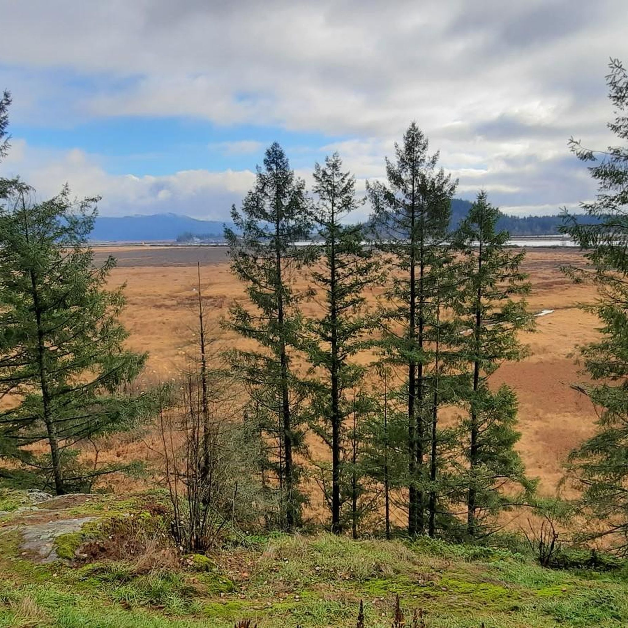
This viewpoint is an excellent place for expansive, unobstructed views across the wetland. It’s an easy walk from the main parking area and a reliable spot for birdwatching, especially in spring and summer. Visitors often see herons, ducks, and other wetland birds feeding or nesting in the open marsh. There are several picnic tables and restrooms nearby, making it a great spot for a scenic lunch before or after exploring the trails in this beautiful area.
0
0
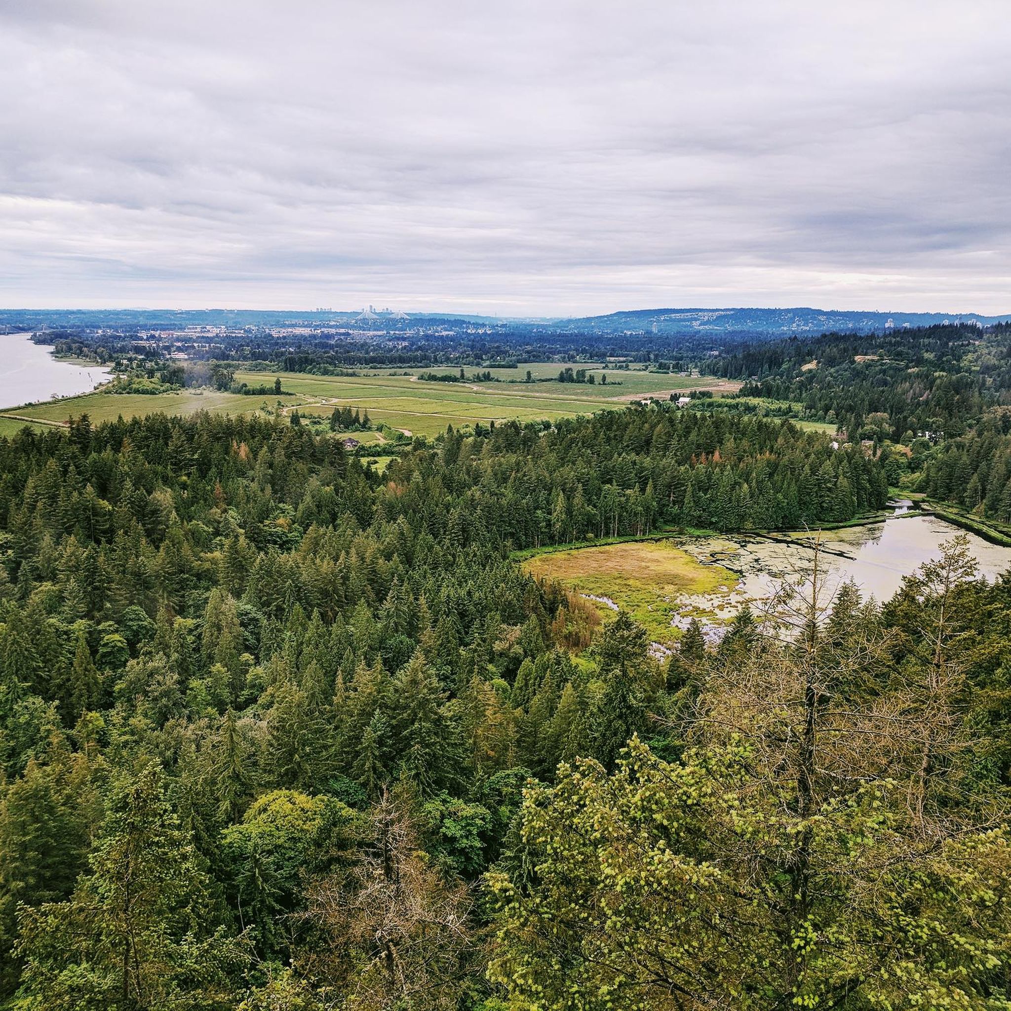
This beautiful river is a major tributary of the Fraser River that flows south from the Garibaldi Ranges, through Pitt Lake, before joining the Fraser River near Port Coquitlam. The lower stretches of the river are tidal, and the surrounding wetlands are home to a rich diversity of wildlife. The river also holds cultural significance for the Kwantlen First Nation, serving as a natural corridor that connects the coastal region with the interior of the province.
0
0
Frequently Asked Questions
How many running routes are available in Minnekhada Regional Park?
Minnekhada Regional Park offers a wide selection of routes for runners, with over 50 jogging tours available on komoot. These routes cater to various fitness levels, ranging from easy strolls to more challenging runs.
What kind of terrain can I expect when jogging in Minnekhada Regional Park?
The park features diverse terrain, including paths through significant marshlands, dense deciduous and conifer forests, and hills with rocky outcrops. You'll find both flatter sections with hard-packed gravel, ideal for leisurely jogs, and more strenuous options with elevation gains, roots, and rocks for a challenging workout.
Are there any scenic viewpoints or natural landmarks to see while running?
Absolutely! Minnekhada Regional Park boasts several prominent lookout points. High Knoll offers expansive views of the Pitt River, Pitt Meadows, and on clear days, even Mount Baker and Golden Ears Park. Low Knoll provides a full view of the lower marsh. The park also features the historic Minnekhada Lodge, which offers spectacular views of the Pitt River.
Are the jogging trails in Minnekhada Regional Park suitable for families?
Yes, the park offers a variety of trails, including flatter sections with hard-packed gravel that are suitable for families looking for a more leisurely run or walk. The diverse landscapes and wildlife viewing opportunities also make it an engaging experience for all ages.
Can I bring my dog on the running trails in Minnekhada Regional Park?
Minnekhada Regional Park is generally dog-friendly, but it's important to check specific park regulations regarding leash requirements and designated areas. Always ensure your dog is under control and follow park rules to protect the wildlife and natural environment.
What are some options for easy or beginner-friendly jogging routes?
For those seeking an easier run, the park has flatter sections with hard-packed gravel, such as parts of the Lodge Trail and Meadow Trail. These provide a good starting point for beginners or those looking for a less strenuous workout. While most routes are moderate, there is at least one easy route available on komoot.
Are there any circular running routes in the park?
Yes, many of the park's trails are designed as loops, offering varied scenery without retracing your steps. For example, the Fern Trail – Lower Marsh Viewpoint loop from Minnekhada Regional Park is a popular option, providing a shaded path through second-growth forest. Another great loop is the Neaves East 1 Pond – North Pond loop from Trans Canada Trail Pavillion, which takes you through marshlands.
What kind of wildlife might I encounter during my run?
As a designated Wildlife Watch site and nature sanctuary, Minnekhada Regional Park is teeming with wildlife. Joggers might spot beaver dams, turtles, various bird species, frogs, slugs, Canada geese, ducks, and even black bears. Always be aware of your surroundings and follow bear safety guidelines.
What do other runners enjoy most about jogging in Minnekhada Regional Park?
The area is highly rated by the komoot community, with an average score of 3.8 stars from over 600 runners. Reviewers often praise the park's diverse landscapes, from marshlands to dense forests and scenic viewpoints, which provide a constantly changing and stimulating environment for runs.
Is Minnekhada Regional Park accessible year-round for running?
Yes, Minnekhada Regional Park is accessible year-round. Its evergreen elements ensure that the park remains scenic even in colder months, making it a great destination for running regardless of the season.
Where can I park when visiting Minnekhada Regional Park for a run?
The park has designated parking areas. It's advisable to check the official park website or local signage for the most current information on parking locations and any potential fees or restrictions before your visit.
Are there any longer running routes for endurance training?
For those looking for longer distances, routes like the Pitt River Viewpoint loop from Hyde Creek Nature Reserve offer a moderate 6.7 miles (10.9 km) path with expansive views. Another option is the Deboville Slough loop from Port Coquitlam, which is 8.4 km long.
Most popular routes in Minnekhada Regional Park

Get inspired with the komoot mobile app


Explore more
Browse the best Running Trails & Routes in other regions.
