The best road cycling routes in Minnekhada Regional Park
4.8
(19)
690
riders
12
rides
Road cycling in Minnekhada Regional Park offers specific routes within a diverse natural environment. The park features dense forests, the Minnekhada Marsh, and distinctive rocky outcrops. While interior trails are for pedestrians, road cycling is permitted on Oliver Road, the Pitt River dykes, and Quarry Road. These routes provide access to views of the Pitt River, marshlands, and connecting regional trail systems.
Best road cycling routes in Minnekhada Regional Park
- The most popular road cycling route is Barnet Marine Park…
Last updated: October 10, 2026
4.5
(4)
116
riders
47.5km
02:35
760m
760m
Moderate road ride. Good fitness required. Some segments of this route may be unpaved and difficult to ride.
5.0
(1)
105
riders
62.4km
02:56
160m
160m
Moderate road ride. Good fitness required. Some segments of this route may be unpaved and difficult to ride.

4.0
(1)
39
riders
38.1km
01:30
100m
100m
Moderate road ride. Great for any fitness level. Some segments of this route may be unpaved and difficult to ride.
24
riders
59.2km
02:35
310m
310m
Moderate road ride. Good fitness required. Some segments of this route may be unpaved and difficult to ride.
55
riders
67.2km
03:22
750m
750m
Moderate road ride. Good fitness required. Mostly well-paved surfaces and easy to ride.
Get access to more routes and recommendations from other explorers.
Already have an account?
Our route recommendations are based on thousands of hikes, rides, and runs completed by other people on komoot.
Start today with a free account
Your next adventure awaits.
Popular around Minnekhada Regional Park

Tips from the Community

Say Nuth Khaw Yum Provincial Park protects more than 5,500 hectares of rugged Coast Mountains, old-growth forest, alpine lakes, and dramatic viewpoints overlooking Indian Arm. The park is collaboratively managed by the Tsleil-Waututh Nation and the Province of British Columbia, and its name, Say Nuth Khaw Yum, means Serpent's Land. Despite being just outside Metro Vancouver, much of the park remains wild and undeveloped, with challenging trails leading to remote lookouts, mountain ridges, and pristine backcountry lakes. There is no fee to hike in the park, making it one of the region's most rewarding free wilderness destinations.
0
0

Also known as the Harry Jerome Sports Centre, you can play volleyball here and the indoor cycling track has an incredible banked wooden oval. If it's open, the velodrome is well worth a step inside to see the cycling track if nothing else.
0
0

Pitt Meadows Regional Airport sits right along the Pitt River Regional Greenway and the Fraser River, serving general aviation, flight training, and small aircraft operations in the Lower Mainland. The low-lying airfield is surrounded by farmland and dike trails, making aircraft activity a constant backdrop for nearby walks and rides. As you pass by, you'll likely see planes taking off and landing at close range against the open valley setting.
0
0
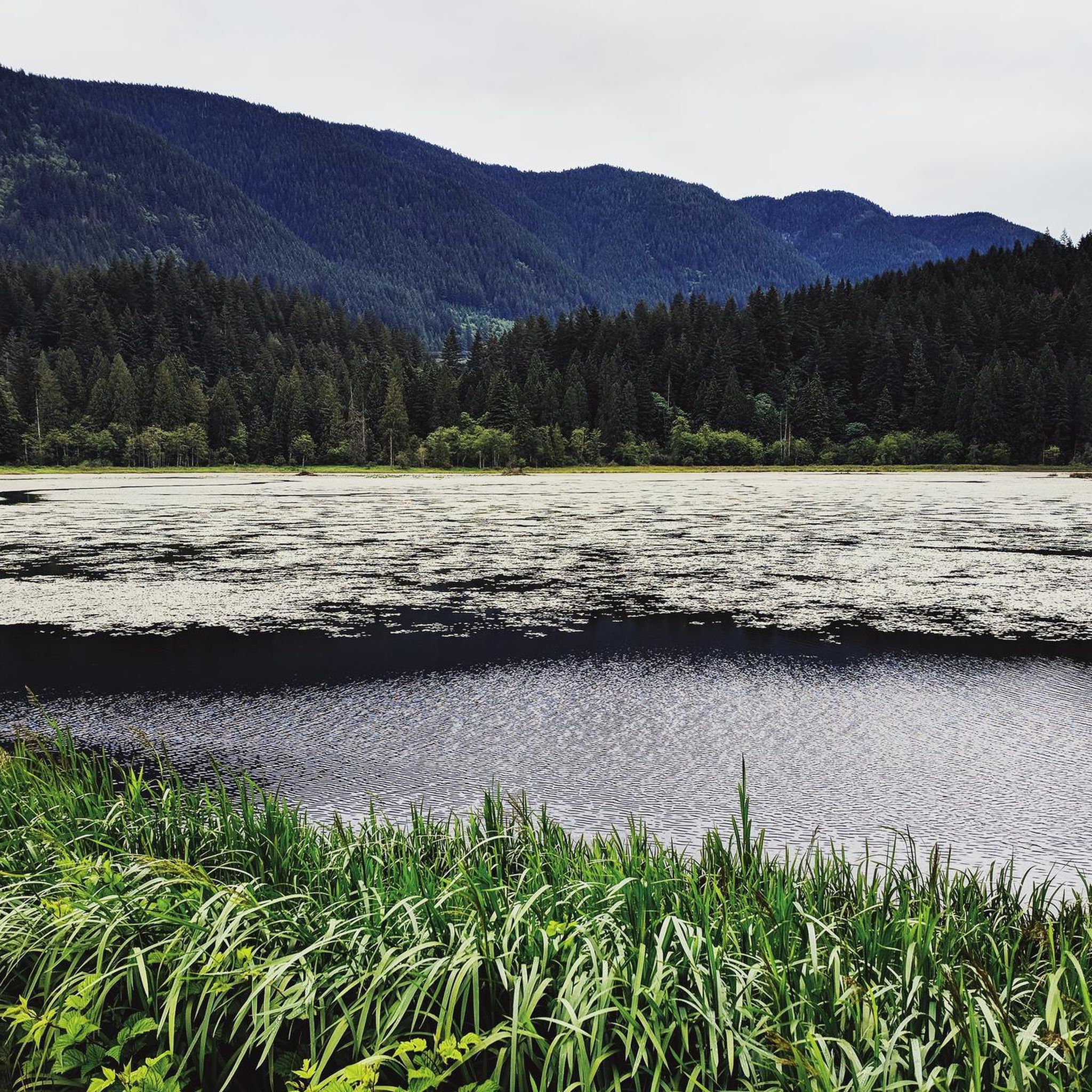
There is an easy loop trail around the shore of the lake, which connects to nearby trails ascending Sugar Mountain and the hills to the west.
1
0

təmtəmíxʷtən/Belcarra Regional Park sits covers 1,100 hectares (2,700 acres) and offers a mix of beaches, shaded trails, and calm lake swimming. You can explore cool, mossy glades beneath towering trees, wander shoreline paths, or head inland to Sasamat Lake, known for its warm summer water and family‑friendly beaches. The parks name, given by the Tsleil‑Waututh Nation, means “the biggest place for all the people,” and the land still holds a high place in their history and culture.
0
0
From the Eleanor Ward Bridge, you will be suspended high above the flowing waters of the Coquitlam River. The bridge provides a clear view down into the forested river corridor as the river winds through the valley below. It’s a striking vantage point along the route and a great place to pause and watch the river moving through this green stretch of Coquitlam.
0
0

On the east side of the bridge’s northern end, near the base of the bridge is a memorial to honor 27 workers who lost their lives on June 17, 1958, when a section of the original Second Narrows Bridge collapsed during construction.
0
0
Frequently Asked Questions
Where is road cycling permitted within Minnekhada Regional Park?
Within Minnekhada Regional Park itself, road cycling is specifically permitted on Oliver Road, which is the paved driveway leading to Minnekhada Lodge, and on the adjacent Pitt River dykes. Additionally, Quarry Road, which starts from the park's parking area, is a wide, lightly used forest road suitable for cycling.
What kind of scenery can I expect on road cycling routes around Minnekhada Regional Park?
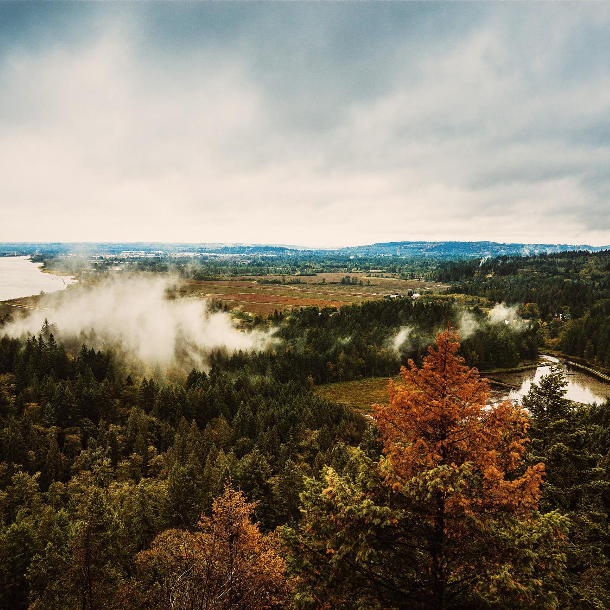
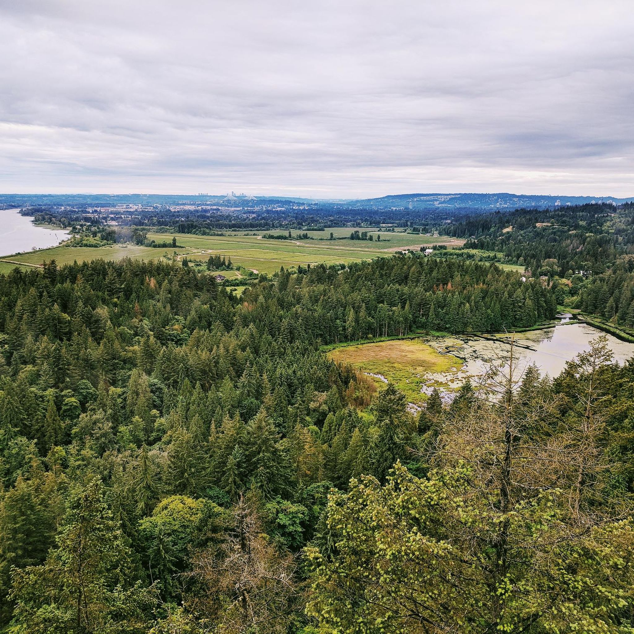
Road cycling routes in and around Minnekhada Regional Park offer diverse scenery. You'll encounter dense forests, views of the vibrant Minnekhada Marsh, and the expansive Pitt River. The dyke trails provide scenic vistas of marshlands, farmland, and distant mountains, including Mount Baker on clear days.
Are there any viewpoints accessible by road bike in the Minnekhada Regional Park area?
While the prominent viewpoints like High Knoll and Low Knoll within the park are typically accessed by foot, road cyclists on the Pitt River dykes can enjoy expansive views of the marsh, Pitt River, and surrounding landscapes. The area offers many scenic stretches along the water.
How many road cycling routes are available in the Minnekhada Regional Park region?
There are over 10 road cycling routes available in the Minnekhada Regional Park region, catering to various skill levels. These routes are highly rated by the komoot community, with an average score of 4.8 stars.
What is the difficulty level of road cycling routes near Minnekhada Regional Park?
The routes in the Minnekhada Regional Park area offer a range of difficulty levels. You can find easy, moderate, and difficult options. For instance, routes like Barnet Marine Park loop from Port Coquitlam and Derby Reach Regional Park – BC Farm Museum loop from Port Coquitlam are considered moderate, providing a good balance for many cyclists.
Can I connect to other regional trail networks from Minnekhada Regional Park by road bike?
Yes, the network of dykes in the Minnekhada Regional Park area connects to broader trail systems. Cyclists can link up with trails along the Deboville Slough, the Coquitlam River (part of The Great Trail), and the Poco Trail through Port Coquitlam, allowing for longer, more extensive rides.
What kind of wildlife might I encounter while road cycling in the Minnekhada Regional Park area?
The Minnekhada Regional Park area is rich in wildlife. Along the routes, especially near the marsh and dykes, you might spot various bird species like wood ducks, hawks, eagles, cormorants, and osprey. Beavers are also common in the marsh. While less likely directly on cycling paths, the park is home to black bears, so it's always wise to be bear-aware.
Is Minnekhada Regional Park suitable for family-friendly road cycling?
For family-friendly road cycling, the paved Oliver Road leading to Minnekhada Lodge and the relatively flat Quarry Road offer accessible options. The Pitt River dykes also provide generally flat terrain, though some connecting routes can be longer and more challenging. Always ensure children are comfortable with the distance and any potential shared paths.
Are dogs allowed on road cycling routes in Minnekhada Regional Park?
Dogs are generally permitted on-leash on designated cycling paths and dykes in the Minnekhada Regional Park area. However, it's crucial to keep dogs under control, especially due to the presence of wildlife, including bears. Always check specific signage for any restrictions.
What is the best time of year to go road cycling around Minnekhada Regional Park?
The Minnekhada Regional Park area offers enjoyable road cycling year-round. Summer brings vibrant lily pads on the marsh, while winter can offer picturesque views of ice-covered water and snow-dusted mountains. Spring and autumn provide pleasant temperatures and beautiful foliage. Always check local weather conditions before heading out.
Where can I find parking for road cycling near Minnekhada Regional Park?
Parking is available at the main entrance of Minnekhada Regional Park. This provides convenient access to Oliver Road, Quarry Road, and the connecting Pitt River dykes for your road cycling adventures.
What do other road cyclists enjoy most about the routes in the Minnekhada Regional Park region?
The routes in the Minnekhada Regional Park region are highly rated by the komoot community, with an average score of 4.8 stars. Reviewers often praise the scenic views of the Pitt River and marshlands, the varied terrain that keeps rides interesting, and the opportunity to connect to broader regional trail networks for longer excursions.
Are there any historic sites visible from road cycling routes in the area?
While road cycling, you can catch glimpses of the historic Minnekhada Lodge, a 1930s country estate, as you ride along Oliver Road. The lodge itself offers spectacular views of the Pitt River and is a notable landmark in the park.
Most popular routes in Minnekhada Regional Park

Get inspired with the komoot mobile app


Explore more
Browse the best Road cycling routes in other regions.
