The best cycling routes in Minnekhada Regional Park
4.4
(291)
1,475
riders
26
rides
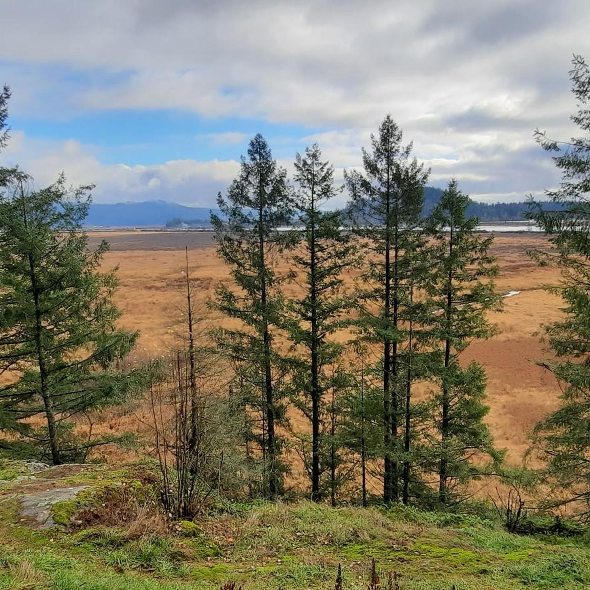
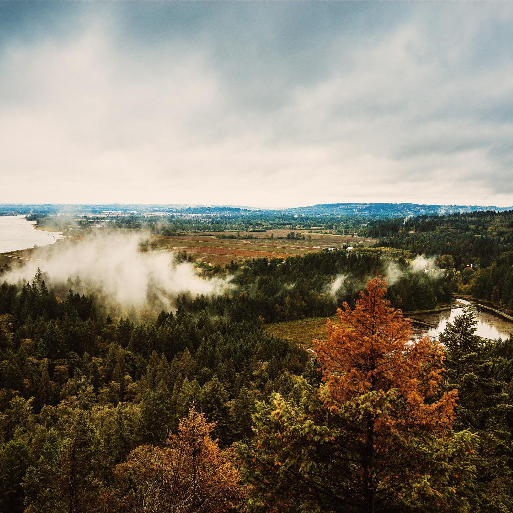
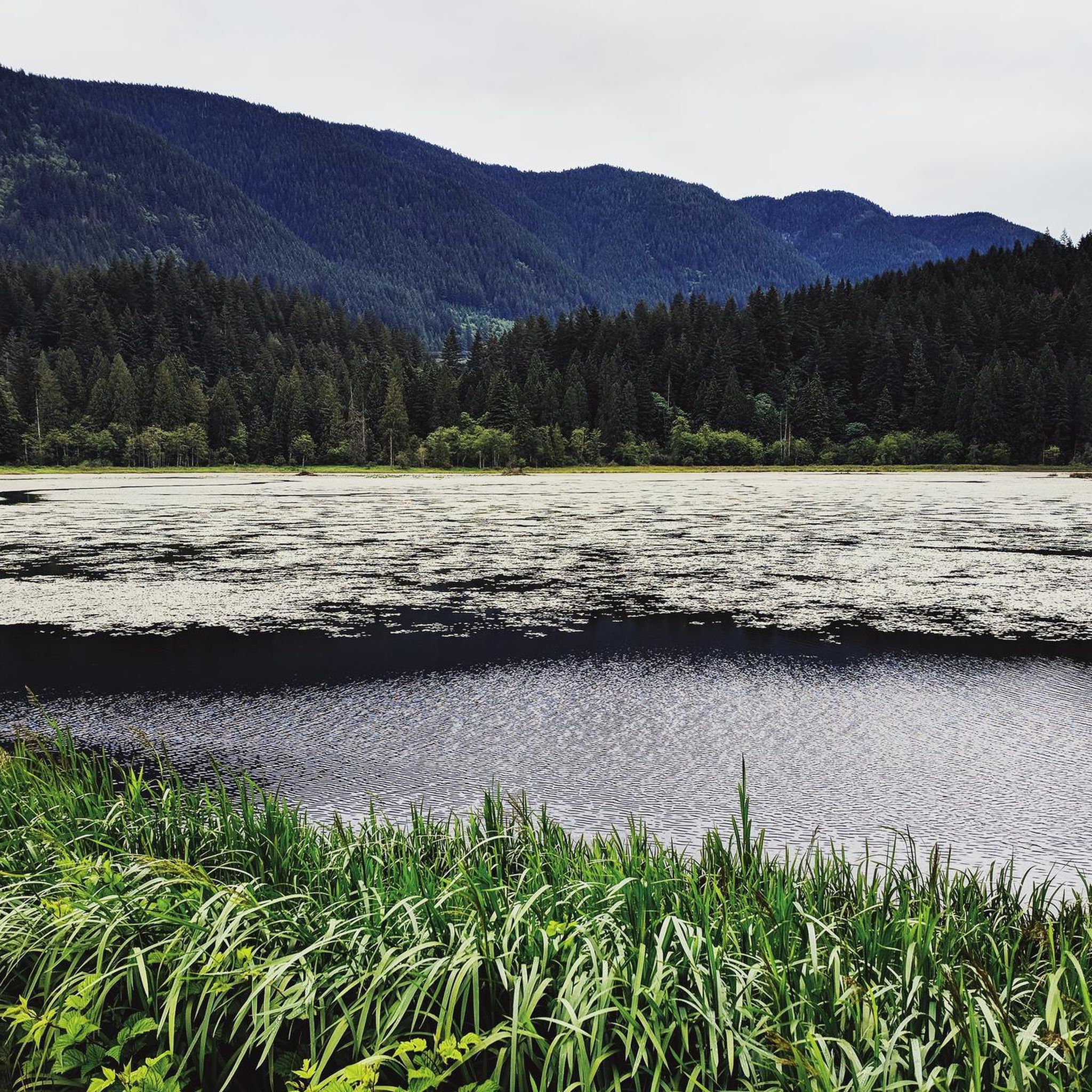
Touring cycling in Minnekhada Regional Park, located in Coquitlam, British Columbia, offers routes primarily along its periphery. The park features diverse ecosystems, including conifer forests, marshes, and rocky outcrops. While most internal park trails are reserved for pedestrians, cycling is permitted on Oliver Road, the paved driveway to Minnekhada Lodge, and the adjacent Pitt River dykes. These routes provide opportunities for scenic rides along the park's edges and connections to broader cycling networks.
Best touring cycling routes in Minnekhada Regional…
Last updated: October 8, 2026
22
riders
Easy bike ride. Great for any fitness level. Mostly paved surfaces. Suitable for all skill levels.
7
riders
9.65km
00:36
10m
10m
Easy bike ride. Great for any fitness level. Mostly paved surfaces. Suitable for all skill levels.

3.7
(3)
37
riders
21.0km
01:47
80m
80m
Easy bike ride. Great for any fitness level. Mostly paved surfaces. Suitable for all skill levels.
4.8
(4)
30
riders
Easy bike ride. Great for any fitness level. Mostly paved surfaces. Suitable for all skill levels.
4.4
(5)
51
riders
67.9km
04:36
160m
160m
Moderate bike ride. Good fitness required. Mostly paved surfaces. Suitable for all skill levels.
Get access to more routes and recommendations from other explorers.
Already have an account?
Our route recommendations are based on thousands of hikes, rides, and runs completed by other people on komoot.
Start today with a free account
Your next adventure awaits.

Tips from the Community

The Alouette River was formerly known as the Lillooet River, but the name was changed since there is a larger, more well known river that had the same name. The name Alouette was chosen for the simple reason that it sounds similar to Lillooet, but French speakers will recognize that it means lark.
0
0

Gates Park offers a mix of paved and natural trail sections along the river, with picnic areas, playgrounds, and sports fields, making it a good starting or ending point for a longer riverside walk or ride into ƛ̓éxətəm.
0
0
At this southern spot near Pitt River Road, the Coquitlam River opens up and slows down. The water here is wider and calmer than the fast-moving sections further upstream.
0
0

This section of the Trans Canada Trail follows the wooded banks of the Coquitlam River through Coquitlam. The mostly gravel path runs through forested river habitat, offering a quiet stretch of trail where the sound of the river accompanies much of the walk. It’s a multi-use route popular with hikers, runners, and cyclists, and several bridges and viewpoints along the way provide good views over the river as it flows through the valley.
0
0
From the Eleanor Ward Bridge, you will be suspended high above the flowing waters of the Coquitlam River. The bridge provides a clear view down into the forested river corridor as the river winds through the valley below. It’s a striking vantage point along the route and a great place to pause and watch the river moving through this green stretch of Coquitlam.
0
0
This 165-acre municipal park features nearly 10 km of forested trails winding through riparian woodlands. Seasonal changes bring dramatic shifts, from high water and swirling currents in winter to calmer flows perfect for wading in during summer. In autumn, the river becomes a vivid stage for returning salmon and the autumn colors illuminate the river corridor. There are trong ties to the traditional lands of the Kwikwetlem Nation, with the river's name coming from their language and meaning "red fish up the river". Coquitlam River Park offers a quiet nature escape just minutes from the city.
0
0

This beautiful river is a major tributary of the Fraser River that flows south from the Garibaldi Ranges, through Pitt Lake, before joining the Fraser River near Port Coquitlam. The lower stretches of the river are tidal, and the surrounding wetlands are home to a rich diversity of wildlife. The river also holds cultural significance for the Kwantlen First Nation, serving as a natural corridor that connects the coastal region with the interior of the province.
0
0
The Traboulay PoCo Trail is a beautiful multiuse 25.3-kilometer loop surrounding Port Coquitlam that winds through diverse landscapes including forest, marsh, riverfront, and urban areas, with fantastic views of the Pitt and Coquitlam Rivers along with abundant wildlife. The trail is mostly flat and well-maintained, with a mix of gravel and paved sections, and is an ideal location popular with walkers, runners, cyclists and families.
0
0
Frequently Asked Questions
What types of touring cycling routes can I find in Minnekhada Regional Park?
Minnekhada Regional Park offers a variety of touring cycling routes, primarily along its periphery. You'll find paths along the Pitt River dykes and Oliver Road, which is the paved driveway leading to Minnekhada Lodge. These routes often connect to broader regional cycling networks, providing options for different ability levels. There are nearly 30 touring cycling routes available, with most being easy.
Are there any challenging touring cycling routes for experienced riders?
Yes, while many routes are easy, there are options for more experienced touring cyclists. For instance, the Pitt River Bridge – Pitt River Dike Trail loop from Port Coquitlam is classified as difficult, covering over 68 kilometers and featuring more significant elevation changes compared to other routes in the area.
What are the best routes for a relaxed, easy touring cycling experience?
For an easy and scenic ride, consider routes like the Taylight Brewing loop from Port Coquitlam, which is about 19.6 km with minimal elevation gain. Another great option is the Alouette River – Heron Rookery loop from Trans Canada Trail Pavillion, an easy 12.4 km path offering views of the Alouette River.
Can I cycle with my family in Minnekhada Regional Park?
Yes, the park offers several family-friendly cycling options, particularly on the paved Oliver Road and the relatively flat Pitt River dykes. Many of the routes are classified as easy, making them suitable for families. The Pitt River – View of the Pitt River loop from Pitt River Bridge is an easy 20 km route that could be enjoyable for families.
What natural features or landmarks can I see while cycling in the park?
While cycling along the park's edges, you can experience diverse ecosystems including conifer forests and marshes. The Pitt River dykes offer views of the Pitt River. Although most internal trails are for pedestrians, you might catch glimpses of the Minnekhada Marsh, known for birdwatching, and the historic Minnekhada Lodge. For panoramic views, High Knoll and Addington Lookout are accessible via hiking trails, but not directly by bike.
What is the best time of year to go touring cycling in Minnekhada Regional Park?
The park's scenery remains captivating throughout the year. Spring and fall offer pleasant temperatures and vibrant natural colors. Summer is also popular, but be prepared for warmer weather. Winter cycling is possible, but always check local conditions as some paths might be affected by rain or ice.
Where can I park my car when visiting Minnekhada Regional Park for cycling?
Parking is available at various access points to the park. For cyclists, bike racks are conveniently located at the Quarry Road Entrance, the picnic area, and near Minnekhada Lodge, making it easy to secure your bike before or after your ride.
Are there any loop routes for touring cyclists in the area?
Yes, many of the touring cycling routes in and around Minnekhada Regional Park are designed as loops. Examples include the Coquitlam River Park – PoCo Trail loop from Hyde Creek Nature Reserve, which is an easy 13.7 km ride, and the longer Pitt River Bridge – Pitt River Dike Trail loop from Port Coquitlam.
What do other touring cyclists say about their experience in Minnekhada Regional Park?
The touring cycling routes in Minnekhada Regional Park are highly rated by the komoot community, with an average score of 4.4 stars from over 200 reviews. Cyclists often praise the scenic views along the Pitt River dykes and the accessibility of the easy, flat paths, making it a popular choice for a relaxed ride.
Is public transport available to reach Minnekhada Regional Park?
While the park is primarily accessed by car, public transport options exist to get you close to the area. You would need to check TransLink services for routes that connect to Coquitlam and the vicinity of Minnekhada Regional Park, potentially requiring a short ride or walk to reach the cycling access points.
Can I bring my dog on the cycling trails in Minnekhada Regional Park?
Minnekhada Regional Park is generally dog-friendly, but specific rules apply. Dogs must be on a leash at all times within the park. While cycling is restricted to Oliver Road and the Pitt River dykes, your leashed dog can accompany you on these designated cycling paths. Always ensure your dog is under control and respect other park users.
Most popular routes in Minnekhada Regional Park

Get inspired with the komoot mobile app


Explore more
Browse the best Cycling routes in other regions.
