The best walks and hikes in Minnekhada Regional Park
4.7
(36)
1,002
hikers
35
hikes
Hiking in Minnekhada Regional Park offers diverse landscapes, including extensive marshlands, dense forests, and rolling hills with rocky outcrops. The park features a prominent marsh area, divided by a dike and footbridge, providing habitat for various wildlife. Trails wind through both old-growth and second-growth forests, leading to elevated areas that offer views of the Pitt River and surrounding wetlands.
Best hiking trails in Minnekhada Regional Park
- The most popular hiking route is Addington Lookout via Fern Trail, a 1.8 miles (2.9 km) trail that takes 1 hour 2 minutes to complete. This route leads to a lookout offering expansive views across the wetland.
- Another top favourite among local hikers is Minnekhada Quarry Trail – Minnekhada Lookout loop from Minnekhada Regional Park, a moderate 4.5 miles (7.3 km) path. This loop explores varied terrain, including the Quarry Trail and a lookout point.
- Local hikers also love the DeBoville Slough Dyke to Addington Point — Port Coquitlam, a 6.1 miles (9.8 km) trail leading through marshland and along the dyke, often completed in about 2 hours 29 minutes.
- Hiking in Minnekhada Regional Park is defined by marshlands, dense forests, and hills with rocky outcrops. The extensive trail network offers options for various ability levels, from easy strolls to more strenuous climbs.
- The routes in Minnekhada Regional Park are highly rated by the komoot community with an average score of 4.7 stars from over 20 reviews. More than 800 hikers have used komoot to explore Minnekhada Regional Park's varied terrain.
Last updated: November 7, 2026
2
hikers
2.90km
01:02
80m
80m
Moderate hike. Mostly walkable paths. Sure-footedness required.
4.4
(7)
111
hikers
Moderate hike. Good fitness required. Mostly walkable paths. Sure-footedness required.

1
hikers
Moderate hike. Mostly walkable paths. Sure-footedness required.
1
hikers
9.72km
02:27
10m
10m
Moderate hike. Good fitness required. Easily walkable paths.
12
hikers
9.77km
02:29
20m
20m
Moderate hike. Good fitness required. Mostly walkable paths. Sure-footedness required.
Get access to more routes and recommendations from other explorers.
Already have an account?
Our route recommendations are based on thousands of hikes, rides, and runs completed by other people on komoot.
Start today with a free account
Your next adventure awaits.

Tips from the Community

This beautiful river is a major tributary of the Fraser River that flows south from the Garibaldi Ranges, through Pitt Lake, before joining the Fraser River near Port Coquitlam. The lower stretches of the river are tidal, and the surrounding wetlands are home to a rich diversity of wildlife. The river also holds cultural significance for the Kwantlen First Nation, serving as a natural corridor that connects the coastal region with the interior of the province.
0
0

This 8-kilometre, multi-use trail runs along the banks of the Alouette and Pitt rivers where they meet just outside of Vancouver. The riverside setting means you'll have great views over the water and mountains beyond.
0
0
The Alouette River was formerly known as the Lillooet River, but the name was changed since there is a larger, more well known river that had the same name. The name Alouette was chosen for the simple reason that it sounds similar to Lillooet, but French speakers will recognize that it means lark.
0
0
The Fern Trail at Minnekhada Regional Park is a lovely shaded path through second-growth forest, linking the Lodge Trail to the Quarry Trail and High Knoll. It’s relatively steep in sections but well-marked, with dense ferns, mossy trunks, and a quiet, enclosed feel. It’s a fantastic connector trail, with options to access higher viewpoints or complete longer loops to explore more across the park’s eastern ridge.
0
0
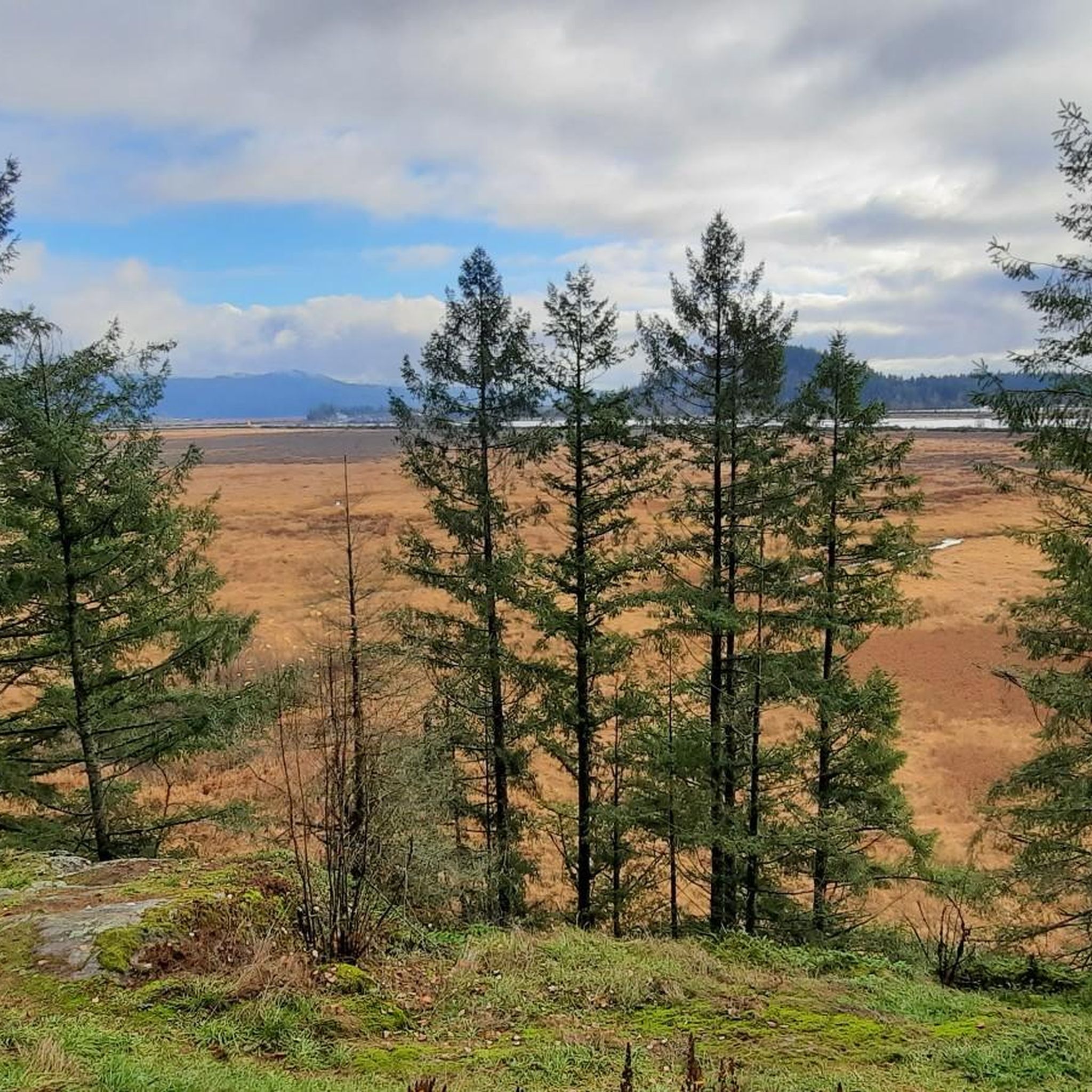
This viewpoint is an excellent place for expansive, unobstructed views across the wetland. It’s an easy walk from the main parking area and a reliable spot for birdwatching, especially in spring and summer. Visitors often see herons, ducks, and other wetland birds feeding or nesting in the open marsh. There are several picnic tables and restrooms nearby, making it a great spot for a scenic lunch before or after exploring the trails in this beautiful area.
0
0

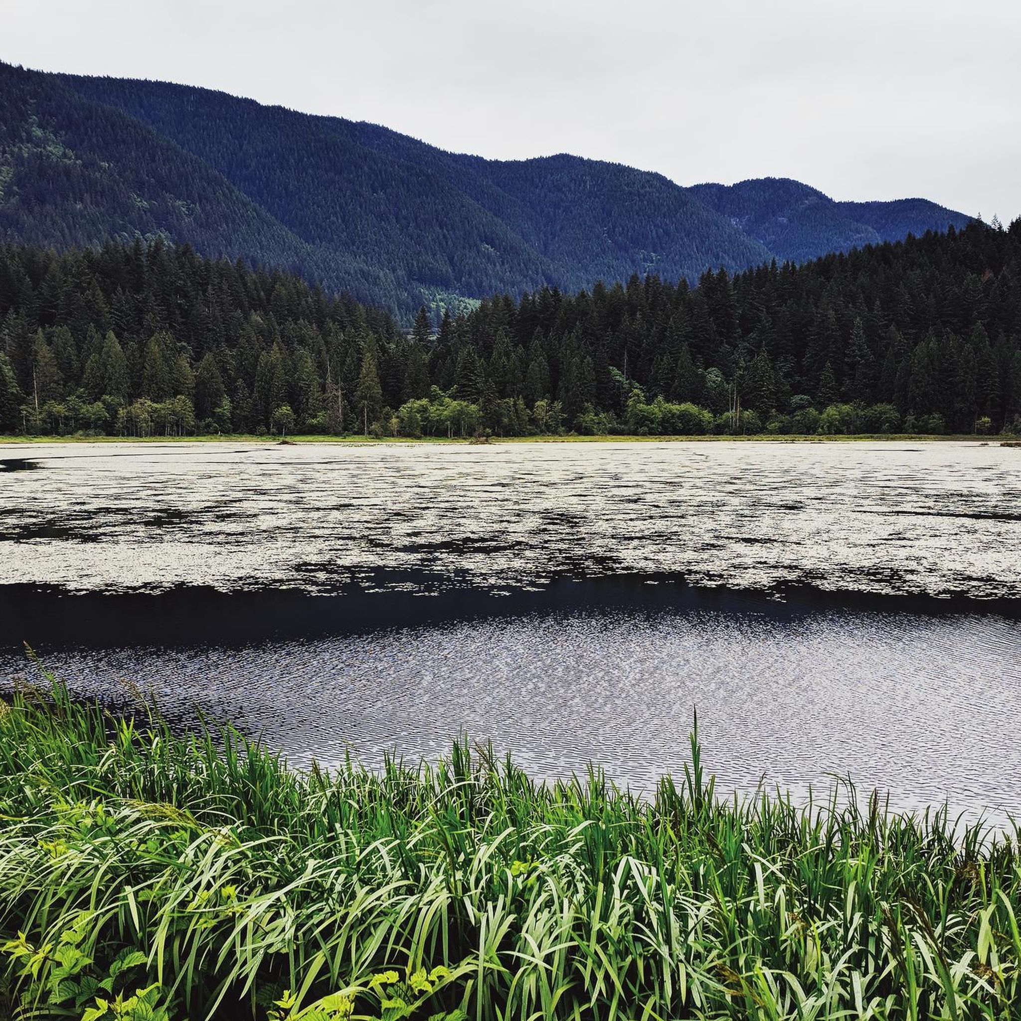
DeBoville Slough is a slow-moving backwater channel that empties into the Pitt River. It is teeming with life and even bears have been seen in the marshland. Enjoy the flat, shared DeBoville Slough Dyke, a gravel path snaking through marshes, tall grasses, and stands of cottonwood and alder.
0
0
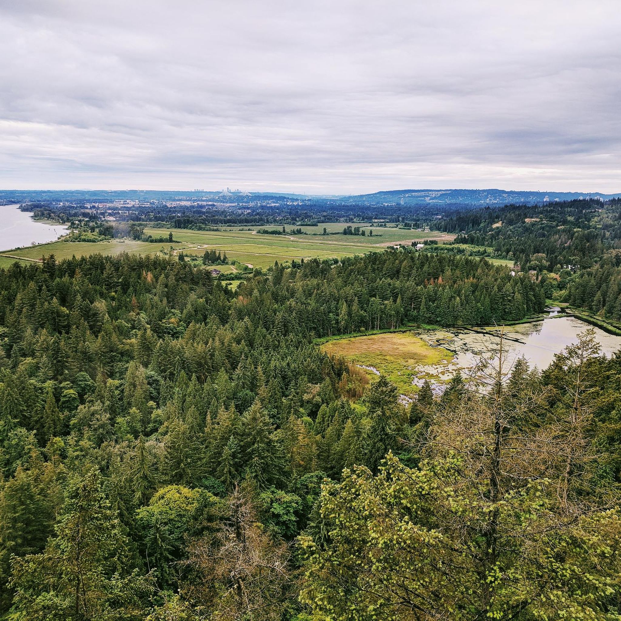
The DeBoville Slough follows the Pitt River for about two kilometers. On a clear day you can see Mount Baker and Golden Ears Park looming in the distance. Goose Bar is an island that is almost always visible in the center of the river, unless there is heavy fog.
0
0
Addington Lookout is a viewpoint from the top of a knoll in the 200-plus hectare Minnekhada Regional Park. It's a great view from Metro Vancouver, and if you get there for sunrise you are more likely to see deer and moose.
0
0
Frequently Asked Questions
How many hiking trails are available in Minnekhada Regional Park?
Minnekhada Regional Park offers a diverse network of over 35 hiking trails. These range from easy, flat paths around the marshlands to more strenuous climbs leading to scenic viewpoints.
Are there easy trails suitable for families or beginners?
Yes, Minnekhada Regional Park has 10 easy trails perfect for families and beginners. The paths around the marshlands are generally flat and well-maintained, offering leisurely walks. The Low Knoll also provides expansive views of the lower marsh and is often described as kid-friendly.
Can I bring my dog on the trails in Minnekhada Regional Park?
Yes, Minnekhada Regional Park is dog-friendly. Many of the trails, particularly the flat paths around the marshlands, are suitable for dog walkers. Please ensure your dog is kept on a leash and you clean up after them.
What kind of wildlife can I expect to see while hiking?
Minnekhada Regional Park is a designated Wildlife Watch site and nature sanctuary. Hikers frequently spot a variety of birds, beavers (with visible dams), and occasionally turtles, deer, and moose. Black bears are also active in the park, so it's important to be bear-aware.
Are there any trails with great viewpoints?
Absolutely. The park is known for its stunning viewpoints. The Addington Lookout via Fern Trail offers expansive, unobstructed views across the wetland. The High Knoll provides breathtaking panoramic views of the Lower Marsh, Pitt River, and Pitt-Addington Marsh, with Mount Baker visible on clear days. The Low Knoll also offers great views of the lower marsh.
What are the best loop trails in the park?
The park offers several loop options to customize your hike. A popular choice is the Minnekhada Quarry Trail – Minnekhada Lookout loop from Minnekhada Regional Park, which is a moderate 7.3 km path exploring varied terrain. You can also create longer loops, such as a full perimeter trail hike covering about 5.2 km, excluding lookout excursions.
Is there parking available at Minnekhada Regional Park?
Yes, there is parking available at Minnekhada Regional Park. The main parking area provides convenient access to the trailheads.
What is the best time of year to visit Minnekhada Regional Park for hiking?
Minnekhada Regional Park is a great destination year-round. The marsh's appearance changes with the seasons, from summer lilies to a thin glaze of ice in winter, offering picturesque views. Spring and fall offer pleasant temperatures and vibrant foliage, while summer is ideal for longer days. Winter hikes can be beautiful, but trails might be muddy or icy.
What makes Minnekhada Regional Park unique for hiking?
Minnekhada Regional Park stands out due to its diverse landscapes, including extensive marshlands, dense forests with old-growth sections, and rolling hills with rocky outcrops. The combination of abundant wildlife, historical elements like Minnekhada Lodge, and a variety of trails leading to stunning viewpoints makes it a unique outdoor experience.
What do other hikers enjoy most about Minnekhada Regional Park?
The area is highly rated by the komoot community, with an average score of 4.7 stars from over 20 reviews. Reviewers often praise the park's diverse terrain, the rewarding panoramic views from the knolls, and the opportunities for wildlife spotting, particularly around the marshlands.
How long does it typically take to hike the trails in Minnekhada Regional Park?
Hiking durations vary depending on the trail and your pace. Shorter, easier routes like the Addington Lookout via Fern Trail can take around an hour. Longer, moderate loops such as the Minnekhada Quarry Trail – Minnekhada Lookout loop might take around 2.5 to 3 hours to complete.
Are there any historical or notable landmarks within the park?
Yes, within the park, you'll find the historic Minnekhada Lodge. This 1930s estate, once a hunting lodge, adds a touch of historical charm to the natural setting and is sometimes used for events.
Are there any challenging trails for experienced hikers?
While many trails are moderate, some sections offer a good workout for experienced hikers. Trails leading to the High Knoll, for instance, involve steeper inclines and can be more rustic with rocky and uneven surfaces. The Quarry Trail also presents a more rugged experience.
Most popular routes in Minnekhada Regional Park

Get inspired with the komoot mobile app


Explore more
Browse the best Hikes in other regions.
