The best road cycling routes around Llangattock
4.7
(64)
4,395
riders
193
rides
Road cycling routes around Llangattock are situated within the Brecon Beacons National Park, offering a diverse landscape for cyclists. The region features the Usk Valley, rolling hills, and the dramatic Llangattock Escarpment, providing varied terrain. Cyclists can find paths along the historic Monmouthshire and Brecon Canal or challenge themselves on ascents into the Black Mountains. This area is characterized by a mix of river valleys, woodlands, and elevated plateaus.
Best road cycling routes around Llangattock
- The most popular road cycling…
Last updated: August 2, 2026
5.0
(1)
48
riders
59.9km
02:46
690m
690m
Embark on the Brecon, Talgarth & Cwmdu loop from Crickhowell, a moderate racebike route spanning 37.2 miles (59.9 km). You will climb 2277 feet (694 metres) over an estimated 2…
5.0
(1)
153
riders
58.4km
03:01
930m
930m
Hard road ride. Very good fitness required. Mostly well-paved surfaces and easy to ride.

Sign up for free
69
riders
78.5km
03:52
990m
990m
Hard road ride. Very good fitness required. Mostly well-paved surfaces and easy to ride.
5.0
(1)
49
riders
30.2km
01:39
560m
560m
Moderate road ride. Good fitness required. Mostly well-paved surfaces and easy to ride.
48
riders
27.5km
01:11
230m
230m
Easy road ride. Great for any fitness level. Mostly well-paved surfaces and easy to ride.
Get access to more routes and recommendations from other explorers.
Sign up for free
Already have an account?
Our route recommendations are based on thousands of hikes, rides, and runs completed by other people on komoot.
Start today with a free account
Your next adventure awaits.
Login or Signup
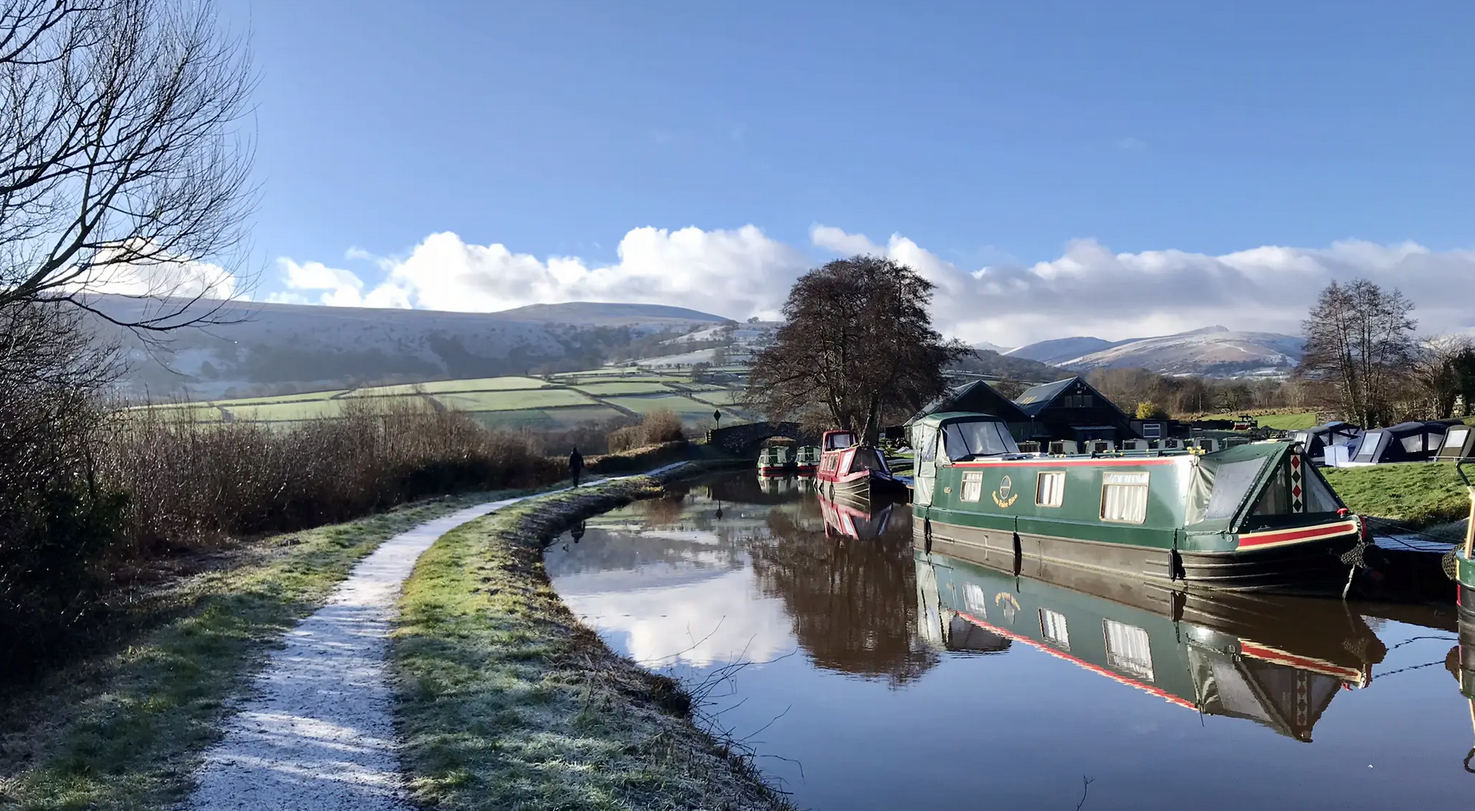
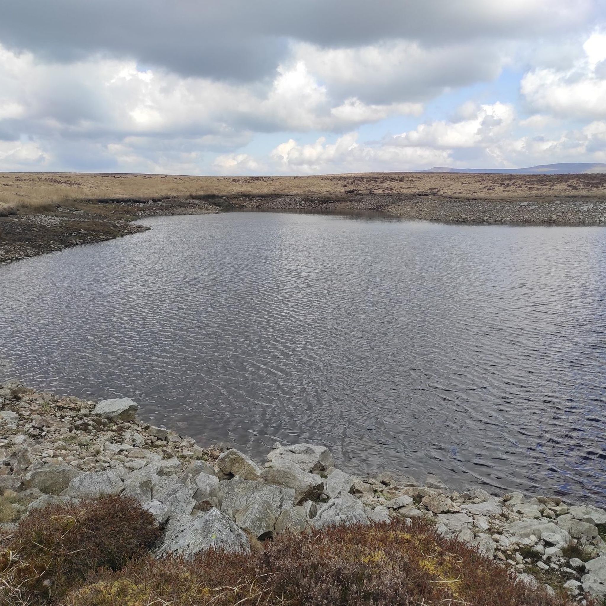
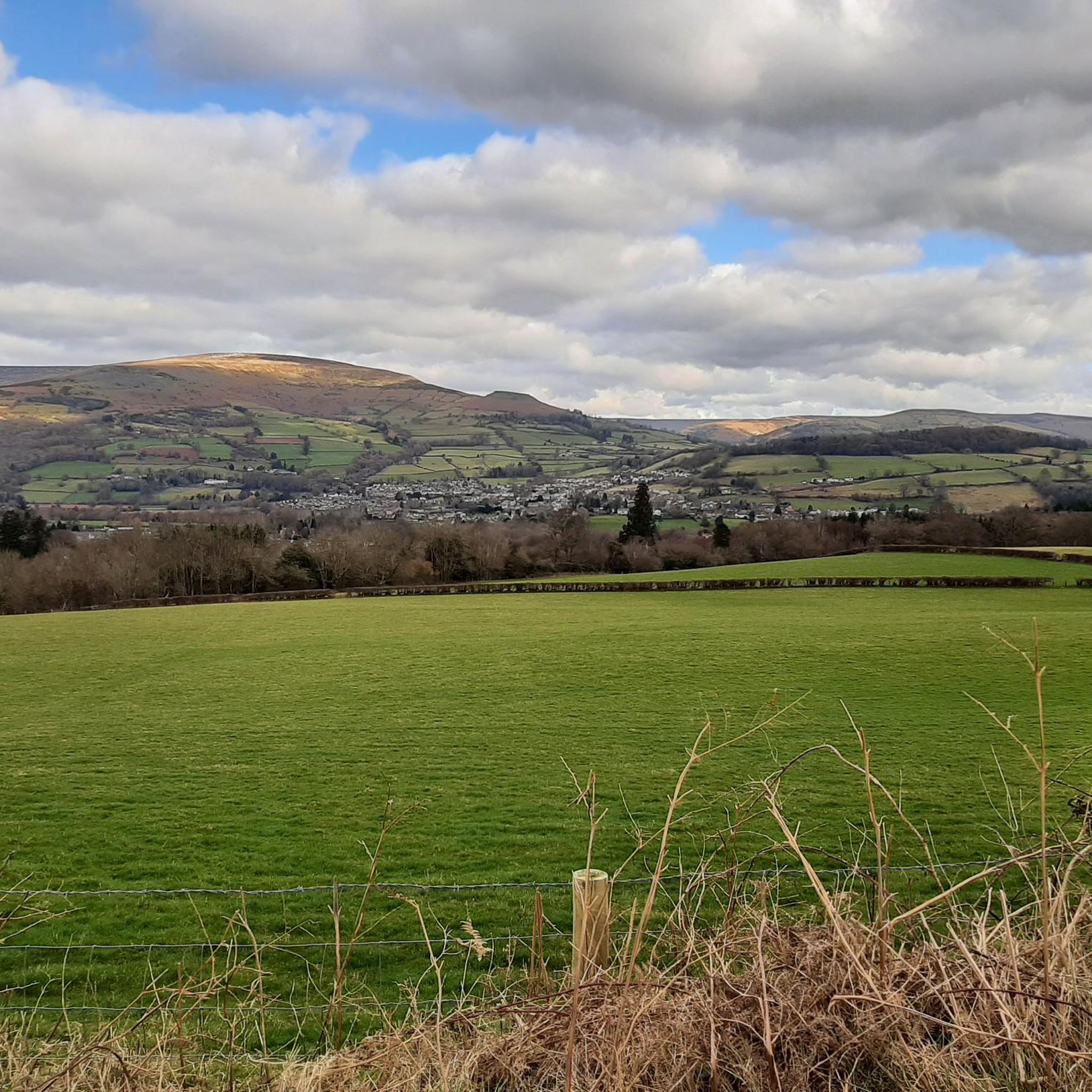

Other adventures around Llangattock

Tips from the Community

The pass from Hay to the Vale of Ewyas, there is a small parking area near the top.
0
0

Very nice bridge not for traffic though as it’s a single lane track with passing gaps for pedestrians.
0
0


Climbing Gospel Pass northwards from Capel-y-ffin takes you over Wales' highest paved road at 549m through stunningly remote Black Mountains scenery. Prepare for steep initial ramps hitting 15% or more shortly after leaving the hamlet, before the gradient eases into a long, steady drag across the high moorland plateau. Be prepared for a rough, potentially potholed single-track road surface requiring caution. The wild beauty and panoramic views are immense, but check conditions and access to Capel-y-ffin beforehand.
0
0

This is a cracking bike stop, not far from the beautiful river bridge in the lower part of the village. There is seating at the rear of the cafe and some more at the front. You can keep your eye on your bikes at either location. Super coffee, and super sticky cakes too. There is also a shop there if you’re a multi day tourer.
1
0

If riding across bridge into Crick, take the first right hand road (next to the pub) to avoid traffic going up the hill and into town. It also takes you straight tup to the high st.
0
0

Frequently Asked Questions
How many road cycling routes are available around Llangattock?
There are over 200 road cycling routes around Llangattock, catering to a wide range of abilities. This includes approximately 30 easy routes, over 120 moderate routes, and nearly 50 difficult routes, ensuring options for every cyclist.
What kind of terrain can I expect on road cycling routes in Llangattock?
The terrain around Llangattock is incredibly diverse. You'll find scenic routes through the tranquil Usk Valley, challenging ascents up the dramatic Llangattock Escarpment, and demanding climbs into the Black Mountains. The region offers a mix of river valleys, woodlands, and elevated plateaus, providing varied experiences from gentle rides to strenuous mountain passes.
Are there any family-friendly road cycling options in the Llangattock area?
Yes, for a more relaxed ride suitable for families, the historic Monmouthshire and Brecon Canal offers a largely traffic-free and easy-going path. This route provides beautiful scenery and passes through charming towns and villages, perfect for a leisurely day out.
Where can I find challenging climbs for advanced road cyclists in the Llangattock area?
Llangattock is renowned for its demanding ascents. Notable climbs include The Tumble on Blorenge mountain, Gospel Pass (the highest paved road in Wales), and the steep lanes of the Llangattock Escarpment, which feature gradients up to 20%. These routes offer significant elevation gain and spectacular views for experienced riders.
What are some scenic viewpoints or natural features I can see along the road cycling routes?
Many routes offer breathtaking views across the Usk Valley and into the Black Mountains. You can also encounter natural features like the dramatic Llangattock Escarpment. Specific viewpoints include Pen Cerrig-calch summit, Mynydd Llangorse Summit, and Mynydd Troed Summit, which provide panoramic vistas of the surrounding Brecon Beacons National Park.
Are there any circular road cycling routes around Llangattock?
Yes, many of the routes around Llangattock are designed as loops, allowing you to start and finish in the same location. An example is the Brecon, Talgarth & Cwmdu loop from Crickhowell, which offers views across the Usk Valley. Another is the Crickhowell Bridge – Talybont Stone Bridge loop from Crickhowell, an easier option.
What is the best time of year for road cycling in Llangattock?
The spring and autumn months generally offer the most pleasant conditions for road cycling in Llangattock, with milder temperatures and beautiful scenery. Summer can also be excellent, though routes can be busier. Winter cycling is possible but requires careful attention to weather conditions, as higher elevations can experience colder temperatures and more challenging conditions.
What do other road cyclists enjoy most about the routes in Llangattock?
The road cycling routes around Llangattock are highly rated by the komoot community, with an average score of 4.7 stars from over 50 reviews. Cyclists often praise the diverse landscapes, from the tranquil Usk Valley to the challenging mountain climbs, and the stunning views across the Brecon Beacons National Park.
Are there any cafes or pubs along the road cycling routes for refreshments?
Yes, the region is dotted with charming villages and towns, such as Crickhowell, which offer various options for refreshments. The Monmouthshire and Brecon Canal towpath, in particular, passes through popular spots with ample opportunities to stop for a coffee or a meal at a local pub or cafe.
Can I access Llangattock's cycling routes using public transport?
Llangattock is situated within the Brecon Beacons National Park, which has some public transport links. While direct access to all trailheads by public transport might be limited, certain towns and villages along the routes, such as Brecon and Crickhowell, are more accessible and can serve as starting points for your cycling adventures.
Are there any specific landmarks or attractions to explore near the cycling routes?
Beyond the natural beauty, you can explore historical sites. Nearby attractions include Tretower Court & Castle, and the village of Crickhowell also boasts its own castle ruins. For natural landmarks, consider visiting Blorenge summit, a prominent natural monument in the area.
What is the typical elevation gain on road cycling routes around Llangattock?
Elevation gain varies significantly depending on the route's difficulty. Easier routes in the valleys might have a few hundred meters of ascent, while difficult routes like the Blaen-y-Glyn Climb – Talybont Reservoir West Shore loop from Crickhowell can feature over 900 meters of climbing, and the Talybont Stone Bridge – Llanthony Priory loop from Crickhowell can exceed 980 meters, offering substantial challenges for climbers.
Most popular attractions around Llangattock

Get inspired with the komoot mobile app


Explore more
Browse the best Road cycling routes in other regions.
