The best running trails in Lost Cove Wilderness Study Area
10
runners
6
runs
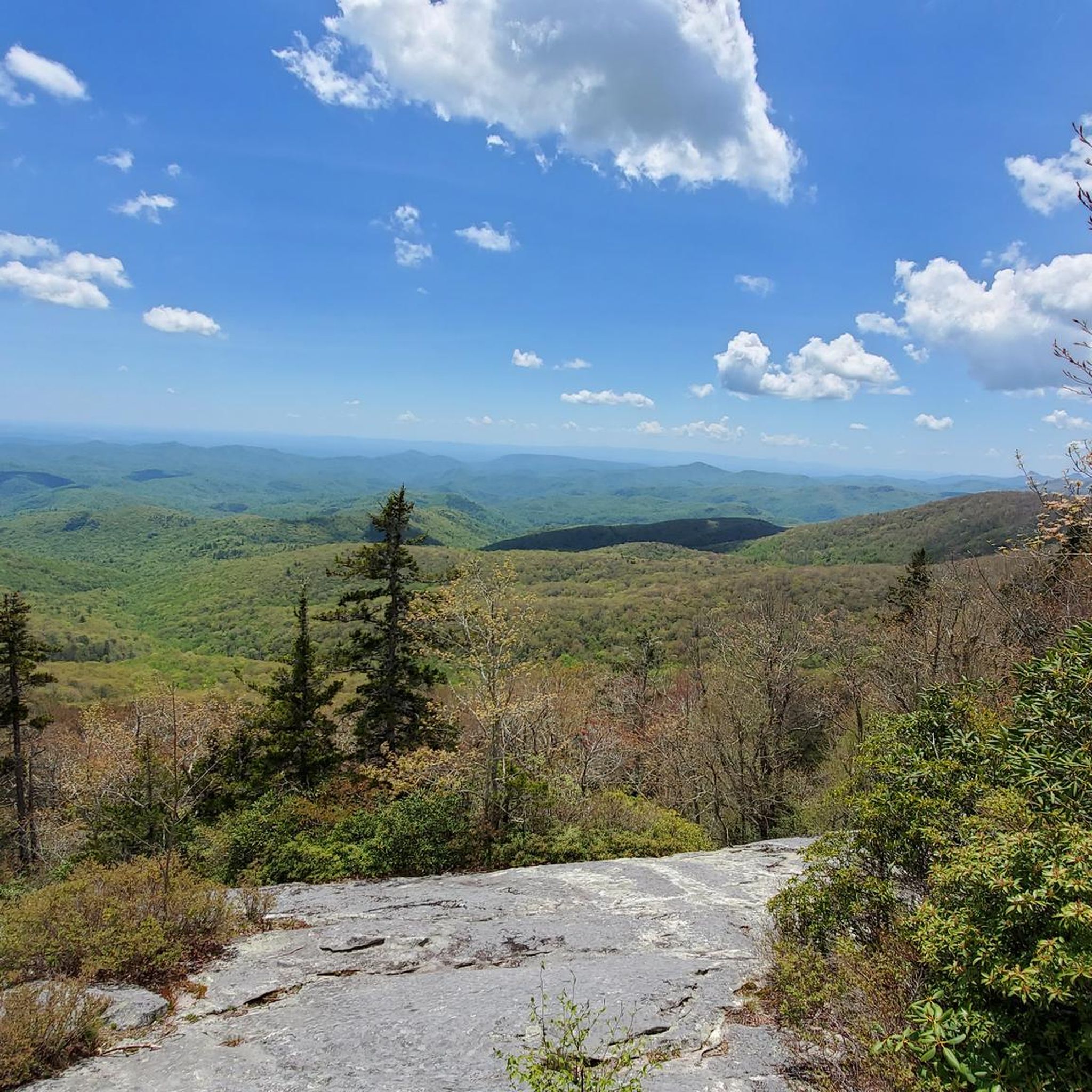
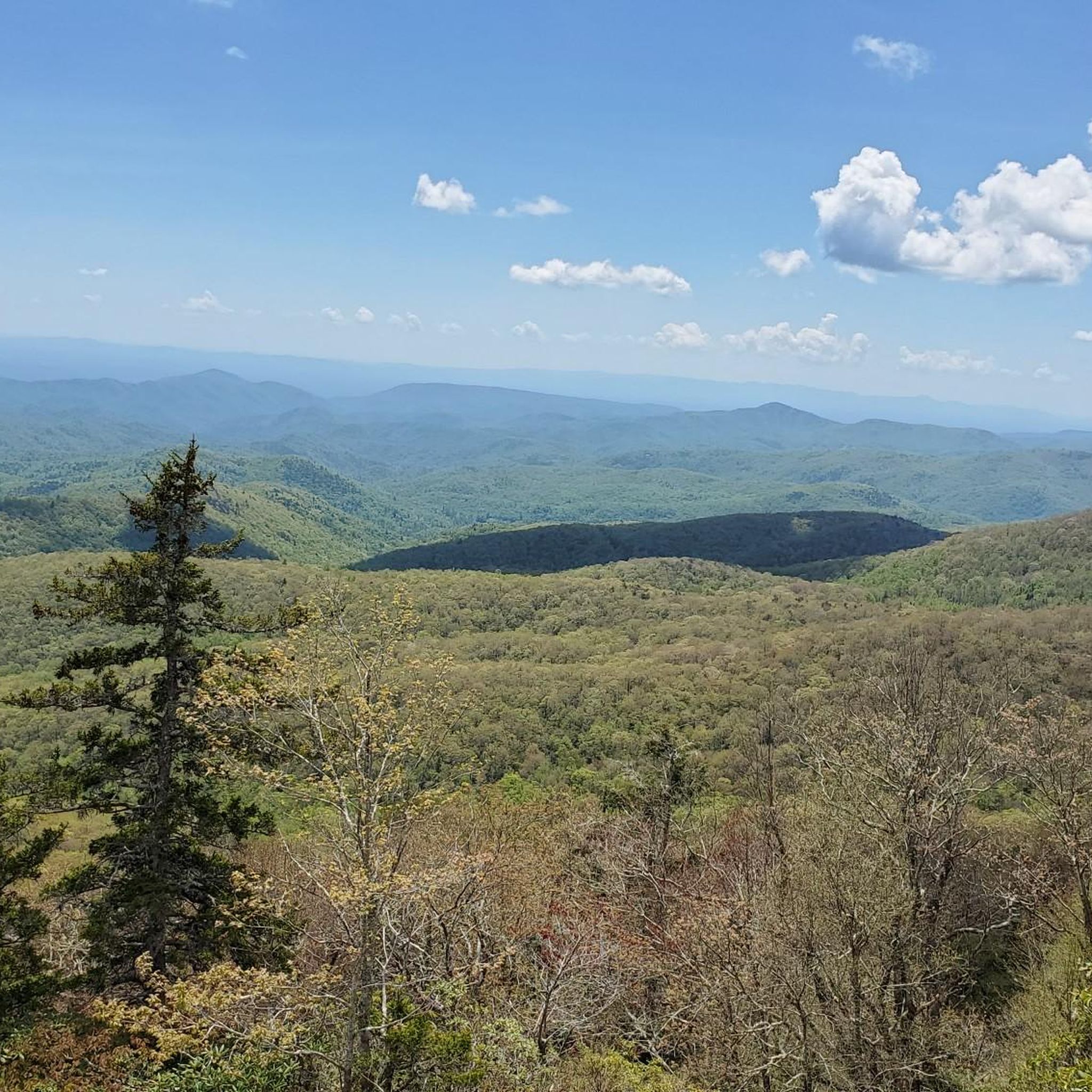
Jogging in Lost Cove Wilderness Study Area offers varied terrain across elevations ranging from approximately 1,700 to 3,900 feet. The region is characterized by rugged topography, dramatic cliffs, and dense forests, providing diverse environments for running. Numerous water features, including waterfalls and creeks, are present throughout the area. This landscape provides both challenging routes with significant elevation changes and more accessible paths.
Best jogging routes in Lost Cove Wilderness Study Area
- The most popular jogging route is Mountains-to-Sea and Steels…
Last updated: October 9, 2026
1
runners
20.0km
02:34
570m
570m
Embark on a challenging jogging adventure through the Mountains-to-Sea and Steels Creek Trail Loop, a rugged 12.4 miles (20.0 km) journey. You will navigate diverse terrain, encountering a series of…
5.10km
00:32
60m
60m
Jog this 3.2-mile (5.1 km) moderate trail through Linville Gorge Wilderness to see Linville Falls and Duggers Creek Falls.

7.54km
00:57
250m
250m
Embark on the Upper Creek Falls Loop for a moderate jogging experience through the wooded environment of Pisgah National Forest. This route spans 4.7 miles (7.5 km) and involves an…
15.2km
02:01
470m
470m
Challenge yourself on the Greentown Trail, a difficult 9.4-mile jogging route in Pisgah National Forest with varied terrain and creek crossi
8
runners
12.0km
01:45
280m
280m
Hard run. Good fitness required. Sure-footedness, sturdy shoes and alpine experience required.
Our route recommendations are based on thousands of hikes, rides, and runs completed by other people on komoot.
Start today with a free account
Your next adventure awaits.
Popular around Lost Cove Wilderness Study Area


Tips from the Community

This lookout point is just a short hike from the Blue Ridge Parkway but oh my, the views! Getting to the very summit of the lookout point requires scaling a large boulder; there are fixed cables to make it easier.
0
0

Linville Falls Picnic Area is at Milepost 316.5 on the Blue Ridge Parkway and plays host to a bunch of different picnic areas, pavilions, and parking lots. The majority of the sites are right on the Linville River; this is one of the more popular picnic areas on the parkway due to how many sites there are and how close it is to the Linville Gorge Wilderness.
0
0
Linville Falls Road leads down a country road to a trailhead parking area for a number of different trails. You're running through a tunnel of trees for a lot of the road, but you also get a few open views of the Linville River, which runs parallel to the road pretty much the entire time.
0
0
Duggers Creek Falls is an underrated waterfall just off the side of Linville Falls Road. This is an easy waterfall to add onto the start, end, or middle of your run since the trail accessing the falls is so short.
0
0
Upper Creek Falls is a 50-foot tall waterfall that only half a mile from the main parking area. You can add on some mile on the highway and connect to other nearby trails and forest roads if you want to do more than just the one-mile loop around the falls.
0
0

The Greentown Trail leads from the North Carolina Highway 181 through the Pisgah National Forest in an eastern direction. After descending to the Upper Creek, it follows and crosses different streams on its way through the forest.
0
0
Duggers Creek Falls is a small waterfall close to the town of Linville Falls and the falls of the same name. The waterfall showcases a series of cascades flowing through a lush and wooded landscape. The trail is very short and mostly flat, so it's a great alternative for families who don't want to hike one of the larger trails in the area.
0
0
The Steels Creek Falls are located along the creek of the same name in the Pisgah National Forest and are totally worth a visit! The water cascades over the rocks and has carved holes into the stone over many years.
1
0
Frequently Asked Questions
How many running routes are available in Lost Cove Wilderness Study Area?
There are 5 distinct running routes detailed in this guide for the Lost Cove Wilderness Study Area. These routes offer a variety of experiences, from moderate paths to more challenging trails.
What kind of terrain can I expect on the running trails in Lost Cove Wilderness Study Area?
The Lost Cove Wilderness Study Area features a rugged and diverse landscape. You can expect varied terrain, including easily accessible paths and more technical sections with significant elevation changes. Elevations range from approximately 1,700 to 3,900 feet, providing both strenuous workouts and more moderate runs. Many routes also include multiple creek crossings, adding to the adventurous experience.
Are there any running routes with waterfalls in Lost Cove Wilderness Study Area?
Yes, the area is known for its abundant water features. For example, the Linville Falls and Duggers Creek Falls Trail leads directly to prominent waterfalls. Other notable waterfalls in the region include Harper Creek Falls, South Harper Creek Falls, Hunt Fish Falls, Gragg Prong Falls, and the secluded Little Lost Cove Creek Falls.
Can I find challenging running routes in Lost Cove Wilderness Study Area?
Absolutely. The Lost Cove Wilderness Study Area is ideal for trail running, offering routes with substantial elevation changes and rugged terrain. Routes like the Mountains-to-Sea and Steels Creek Trail Loop and the Greentown Trail are classified as difficult, featuring significant climbs and varied forest environments designed to get the blood pumping.
Are there any easier or beginner-friendly running options?
While many routes offer a challenge, there are options suitable for a quicker or less strenuous run. The Linville Falls and Duggers Creek Falls Trail, for instance, is a moderate 3.2-mile path with relatively flat terrain, making it a good choice for those seeking a more accessible experience.
Are dogs allowed on the running trails in Lost Cove Wilderness Study Area?
The Lost Cove Wilderness Study Area is generally dog-friendly, but it's always recommended to keep your dog on a leash to protect wildlife and ensure a pleasant experience for all users. Given the rugged terrain and potential wildlife encounters, ensure your dog is accustomed to trail running.
What are some scenic viewpoints or landmarks I might see while running?
The area boasts dramatic topography and stunning vistas. You can enjoy panoramic views, including glimpses of Grandfather Mountain. The Big Lost Cove Cliffs are a prominent feature, and the Lost Cove Cliffs Overlook along the Blue Ridge Parkway offers views of the surrounding mountains and the wilderness. Bee Mountain is also accessible via trails and provides scenic points.
Are there loop running trails available in Lost Cove Wilderness Study Area?
Yes, several routes in the area are designed as loops, allowing you to experience diverse scenery without retracing your steps. The Mountains-to-Sea and Steels Creek Trail Loop and the Upper Creek Falls Loop are excellent examples of circular routes that showcase the region's natural beauty.
What is the best time of year to go running in Lost Cove Wilderness Study Area?
The diverse forests and water features make the Lost Cove Wilderness Study Area beautiful year-round. Spring brings lush greenery and blooming rhododendrons, while autumn offers spectacular fall foliage. Summer is popular for enjoying the waterfalls and swimming holes, though trails can be busier. Winters can be cold with potential for snow at higher elevations, offering a different kind of challenge and solitude.
Is there parking available near the running trails?
Parking availability varies by trailhead. Many popular access points to the Lost Cove Wilderness Study Area, especially those along the Blue Ridge Parkway or near well-known trails, typically have designated parking areas. It's advisable to check specific route details or local park information for the most accurate parking guidance for your chosen running trail.
What wildlife might I encounter while running in Lost Cove Wilderness Study Area?
The large elevation span and diverse habitats contribute to significant biological diversity. While running, you might encounter a variety of wildlife, including black bears, various bird species like peregrine falcons, and other forest animals. Always be aware of your surroundings and practice Leave No Trace principles.
Are there any specific permits required for running in the Lost Cove Wilderness Study Area?
The Lost Cove Wilderness Study Area is managed to protect its wilderness attributes. Generally, day-use activities like running do not require specific permits. However, for overnight stays or certain activities, permits might be necessary. It's always best to check with the managing authorities for any current regulations before your visit.
Most popular routes in Lost Cove Wilderness Study Area

Get inspired with the komoot mobile app


Explore more
Browse the best Running Trails & Routes in other regions.
