The best running trails around Mancomunidad De Campoo-Cabuérniga
4.0
(1)
218
runners
20
runs
Jogging routes around Mancomunidad De Campoo-Cabuérniga traverse a diverse landscape within the Cantabrian Mountains, featuring rugged peaks and lush valleys. The region is characterized by extensive forests, open pasturelands, and significant river basins, including the headwaters of the Saja River and the Ebro River. Elevated routes offer views from various viewpoints, while lower paths follow river courses and historical transhumance trails.
Best jogging routes around Mancomunidad De Campoo-Cabuérniga
- The most popular jogging route is Peña Labra y Pico Tres Mares…
Last updated: October 2, 2026
6
runners
Hard run. Very good fitness required. Mostly accessible paths. Some sure footedness required.
55
runners
20.0km
03:06
1,080m
1,080m
Hard run. Very good fitness required. Mostly paved surfaces. Suitable for all skill levels.

28
runners
10.5km
01:20
470m
470m
Hard run. Very good fitness required. Mostly paved surfaces. Suitable for all skill levels.
9
runners
15km
02:34
990m
990m
Hard run. Very good fitness required. Mostly paved surfaces. Suitable for all skill levels.
6
runners
42.1km
05:09
1,320m
1,320m
Hard run. Very good fitness required. Mostly paved surfaces. Suitable for all skill levels.
Get access to more routes and recommendations from other explorers.
Already have an account?
Our route recommendations are based on thousands of hikes, rides, and runs completed by other people on komoot.
Start today with a free account
Your next adventure awaits.
Tips from the Community

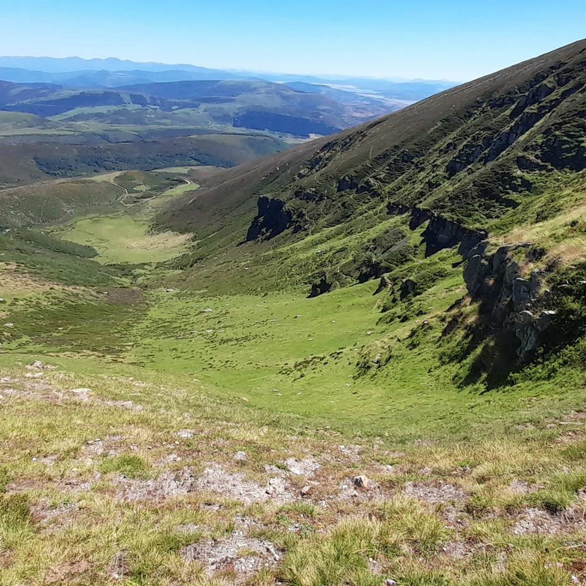
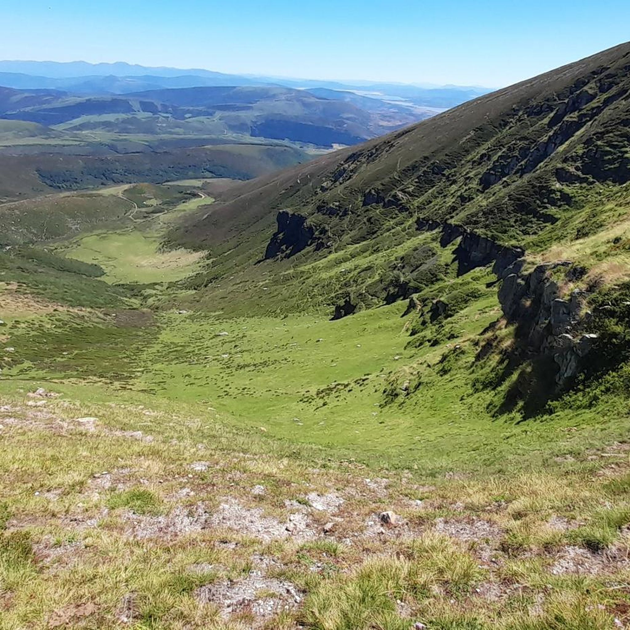
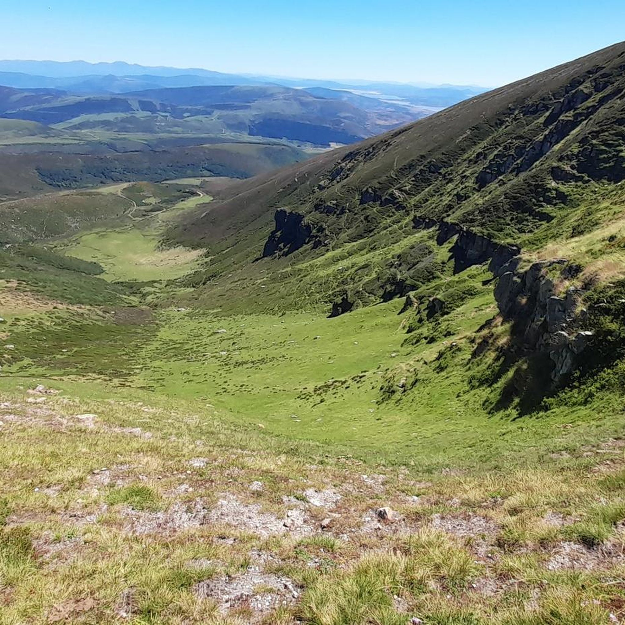
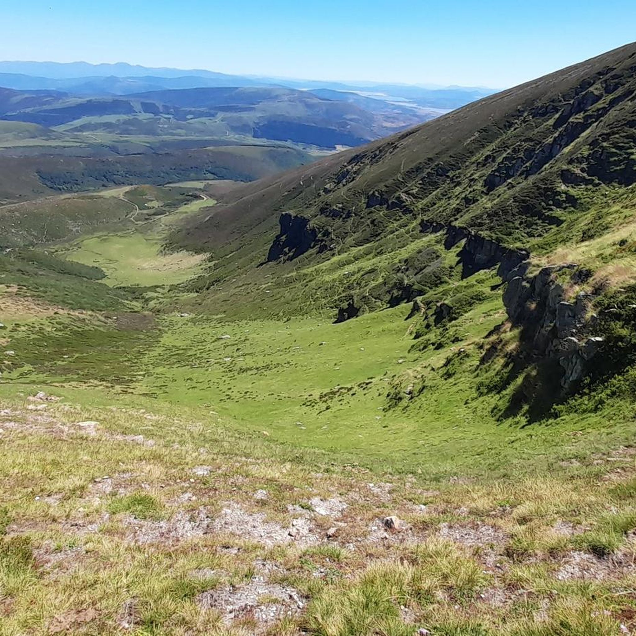
The Pico Tres Mares offers a great view of the surrounding peaks and valleys. The three valleys, each separated by mountain ridges, drain via their respective river systems into the Mediterranean Sea (Rio Hijar / Ebro), the Cantabrian Sea (Rio Nansa), and the Atlantic Ocean (Rio Pisuerga), from which the summit gets its name. From up here, you can also clearly see the beginning of the path to Peña Labra, which essentially runs along or near the ridge to the west - and with reasonably good visibility, the Picos de Europa are clearly visible to the northwest, standing out distinctly from the surrounding mountains of the Cordillera Cantabrica, even if some are not that much lower. There is a viewing platform at the summit - not pretty, but it allows even visitors without mountain experience to look around safely.
0
0

Beautiful landscapes from the ridges but runnable on many parts, too many blocks The path is not always well marked, take the time to look at the track on the app. Thanks Komoot 😉
0
0

One of the most beautiful spots on this section of the GR71.
1
0
And the views of the town from the other side, enchanting.
2
0

This town is located 640 meters above sea level and surrounded by deciduous forest mountains. Although Los Tojos only has 120 inhabitants, it has a perfect inn to rest your legs after a long walk.
0
0
On your way you find this small wooden bridge that helps you cross the Balneria stream.
0
0
Walking through these paths full of vegetation is a real pleasure.
0
0

There is not much to say, I agree with Óscar that the bridge is up to the town it belongs to... everything in this town is very well cared for and preserved. It also has a couple of "sidings" so that pedestrians could withdraw when a vehicle was going to cross over the bridge (now prohibited) and they have put some chairs to sit down.
2
0
Frequently Asked Questions
How many running routes are available in Mancomunidad De Campoo-Cabuérniga?
There are over 10 dedicated jogging routes in Mancomunidad De Campoo-Cabuérniga, offering a variety of experiences for different fitness levels. These routes traverse the diverse landscapes of the Cantabrian Mountains, from rugged peaks to lush valleys.
What kind of terrain can I expect on the jogging trails in Mancomunidad De Campoo-Cabuérniga?
The terrain varies significantly, ranging from challenging mountainous paths with considerable elevation gain to gentler routes along river basins and through extensive forests. You'll encounter natural, soft-surface trails in pasturelands and historical transhumance paths, ideal for trail running.
Are there any easy jogging routes suitable for beginners or a relaxed run?
While many routes are challenging, there are options for moderate runs. For instance, the Río Hijar loop from Fontibre is a moderate 8.5 km trail that takes about an hour to complete, offering a pleasant run through the river basin.
Which running routes offer the best scenic viewpoints?
Many routes in the region provide breathtaking views. Trails leading towards peaks like Pico Tres Mares or Peña Labra, such as Peña Labra y Pico Tres Mares – trail run desde el collado de Fuente del Chivo, offer panoramic vistas of the Cantabrian interior and beyond. The region also features viewpoints like the Piedrasluengas Viewpoint and El Moral Plateau, which can be destinations or points along longer runs.
Are there any challenging trail running options for experienced runners?
Absolutely. Mancomunidad De Campoo-Cabuérniga is known for its demanding mountain trails. The Tres Mares Peak – Tres Mares loop from Estación de Esquí y Montaña Alto Campoo is a difficult 18.6 km path with over 1000 meters of elevation gain, providing a significant challenge and rewarding views.
What points of interest can I see while running in the area?
Beyond the stunning natural landscapes, you can encounter several notable points of interest. The Source of the Ebro River in Fontibre is a significant natural monument. You might also pass through traditional villages like Bárcena Mayor or discover unique natural features like the Fallen Oak of Brujilices.
Are there any circular running routes in Mancomunidad De Campoo-Cabuérniga?
Yes, several routes are designed as loops, allowing you to start and finish at the same point. Examples include the Río Hijar loop from Fontibre and the Tres Mares Peak – Tres Mares loop from Estación de Esquí y Montaña Alto Campoo, offering convenient options for your run.
What is the best time of year to go jogging in Mancomunidad De Campoo-Cabuérniga?
The region is ideal for jogging during spring, summer, and early autumn when the weather is generally mild and the trails are clear. Winter can bring snow to higher elevations, making some mountain routes more challenging and requiring specialized gear, though lower valley routes may still be accessible.
Are there any long-distance running trails available?
For those seeking longer distances, routes like the Wooden bridge – Lush vegetation loop from Los Tojos cover over 42 km, offering an extensive journey through the region's diverse landscapes and forests.
What do other runners enjoy most about jogging in Mancomunidad De Campoo-Cabuérniga?
Runners frequently praise the stunning natural beauty and the variety of terrain. The extensive forests, dramatic mountain backdrops, and serene river valleys provide a truly inspiring environment for outdoor activity. The well-established paths, many historically used for transhumance, offer a unique connection to the region's heritage.
Are the running trails in Mancomunidad De Campoo-Cabuérniga suitable for families?
While many routes are challenging, some moderate trails along river basins or through less steep forest areas can be suitable for active families. It's advisable to check the difficulty and length of specific routes to ensure they match your family's fitness level.
Is parking available near the trailheads for running routes?
Yes, many popular trailheads and starting points for routes in Mancomunidad De Campoo-Cabuérniga, especially those near villages or attractions, typically have designated parking areas. It's always recommended to check specific route details for parking information.
Most popular routes around Mancomunidad De Campoo-Cabuérniga
Most popular attractions around Mancomunidad De Campoo-Cabuérniga

Get inspired with the komoot mobile app


Explore more
Browse the best Running Trails & Routes in other regions.
