The best walks and hikes around Mancomunidad De Campoo-Cabuérniga
4.3
(151)
1,074
hikers
55
hikes
Hiking around Mancomunidad De Campoo-Cabuérniga features a varied terrain, encompassing high mountain plateaus, lush valleys, and significant peaks within the Cantabrian Mountains. The region is characterized by extensive pastures and forests, with elevations ranging from lower valleys to prominent summits like Pico Tres Mares. This area provides a range of natural features for outdoor exploration.
Best hiking trails around Mancomunidad De Campoo-Cabuérniga
- The most popular hiking route is Peña Labra and Pico Tres Mares from the collado de Fuente del…
Last updated: October 5, 2026
17
hikers
Hard hike. Very good fitness required. Easily-accessible paths. Suitable for all skill levels.
3.0
(1)
12
hikers
18.6km
06:35
1,040m
1,040m
Hard hike. Very good fitness required. Easily-accessible paths. Suitable for all skill levels.

5.0
(1)
8
hikers
10.7km
03:09
310m
310m
Moderate hike. Good fitness required. Easily-accessible paths. Suitable for all skill levels.
4.4
(10)
34
hikers
12.2km
03:38
360m
360m
Moderate hike. Good fitness required. Easily-accessible paths. Suitable for all skill levels.
4.0
(1)
10
hikers
Hard hike. Very good fitness required. Easily-accessible paths. Suitable for all skill levels.
Get access to more routes and recommendations from other explorers.
Already have an account?
Our route recommendations are based on thousands of hikes, rides, and runs completed by other people on komoot.
Start today with a free account
Your next adventure awaits.
Tips from the Community

A beautiful old mountain village with very well-preserved buildings, many of them also nicely decorated. With its many restaurants and craft shops, the village is, however, very tourist-oriented, perhaps a little too much.
0
0
Well-preserved or restored old wash house in the middle of the village. If anyone actually wanted to wash here, they would have to find a spot between the figures that have been placed here to represent the former use of the wash house.
0
0
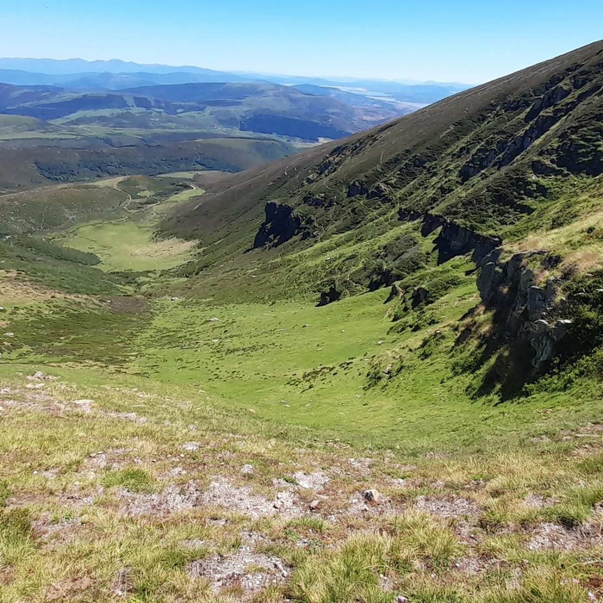
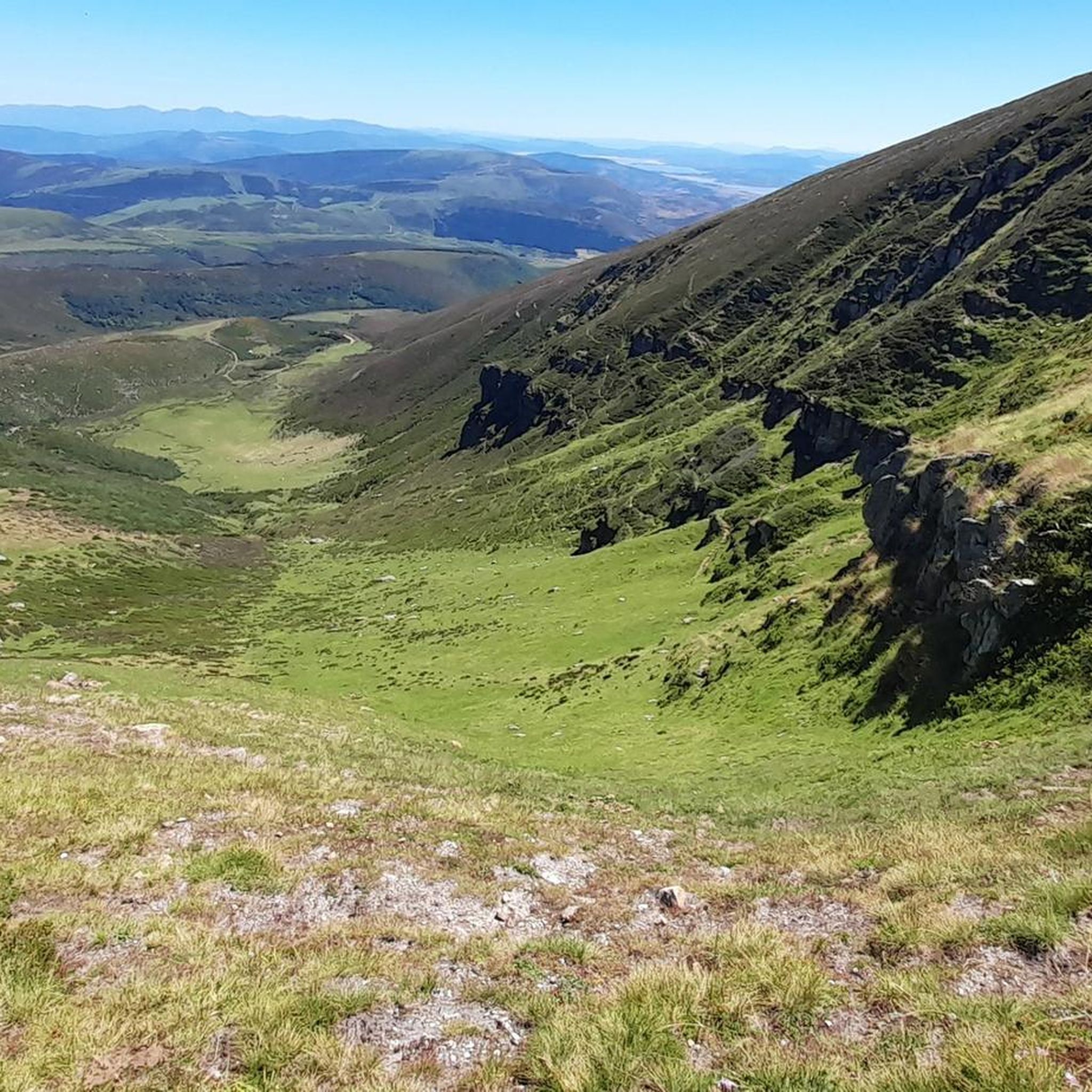
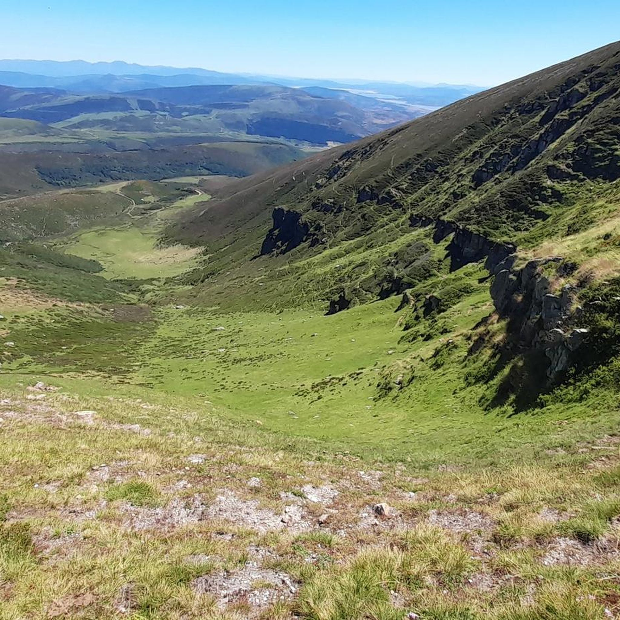
The Pico Tres Mares offers a great view of the surrounding peaks and valleys. The three valleys, each separated by mountain ridges, drain via their respective river systems into the Mediterranean Sea (Rio Hijar / Ebro), the Cantabrian Sea (Rio Nansa), and the Atlantic Ocean (Rio Pisuerga), from which the summit gets its name. From up here, you can also clearly see the beginning of the path to Peña Labra, which essentially runs along or near the ridge to the west - and with reasonably good visibility, the Picos de Europa are clearly visible to the northwest, standing out distinctly from the surrounding mountains of the Cordillera Cantabrica, even if some are not that much lower. There is a viewing platform at the summit - not pretty, but it allows even visitors without mountain experience to look around safely.
0
0

A very interesting rehabilitation.
1
0
Possibly the most beautiful house in the village.
1
0

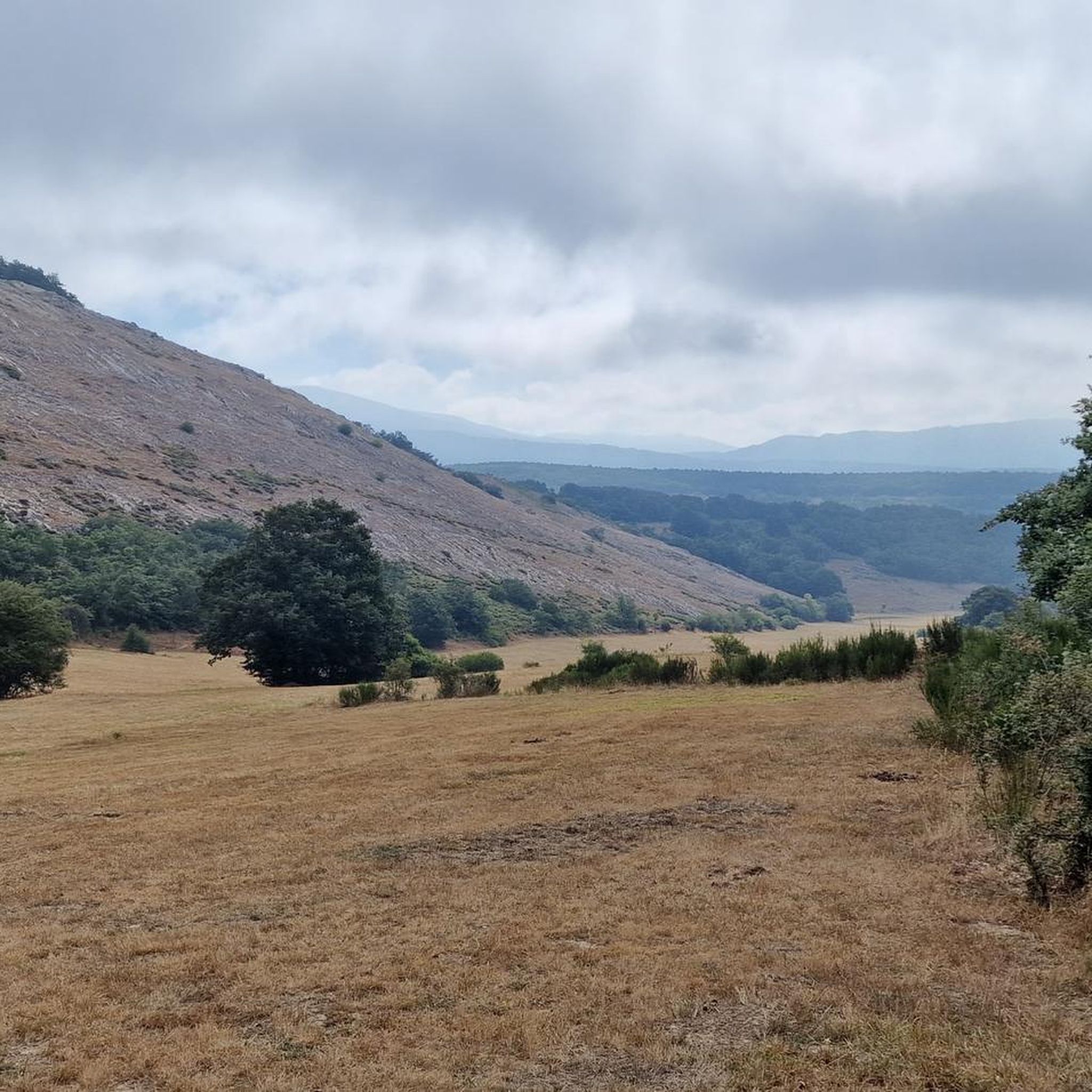
Braña (high meadow) located at over 1000 meters altitude, full of cows and horses (mostly). It is a pleasure to see them grazing peacefully while you hear their bells. It has a trough always full of very fresh water and a water tank next to it, and wonderful views of the Nansa and Saja valleys.
0
0
Collado de Brañalengua, with a trough of fresh water where local animals go to regain their strength. It’s a spectacle to see how the horses have come down running to drink, and then the same with the cows
0
0
Right next to La Solana restaurant.
1
0
Frequently Asked Questions
How many hiking trails are there in Mancomunidad De Campoo-Cabuérniga?
There are over 30 hiking trails available in Mancomunidad De Campoo-Cabuérniga, offering a diverse range of experiences from easy strolls to challenging mountain ascents. The komoot community has explored these routes over 800 times.
Are there easy hiking trails suitable for beginners or families?
Yes, Mancomunidad De Campoo-Cabuérniga features 12 easy trails perfect for beginners or family outings. A great option is the Waterfall loop from Río Hijar, which is 6.4 km long and takes about 1 hour 45 minutes to complete, offering a pleasant experience through natural landscapes.
Can I find circular hiking routes in the region?
Yes, many trails in Mancomunidad De Campoo-Cabuérniga are circular, allowing you to start and end at the same point. An example is the Tres Mares Peak – Tres Mares loop from Estación de Esquí y Montaña Alto Campoo, a 2.9 km route that offers high mountain views.
Are there any hikes that feature waterfalls?
Yes, the region offers trails where you can experience natural water features. The Waterfall loop from Río Hijar is an easy 6.4 km route specifically designed to take you past beautiful waterfalls, providing a refreshing hiking experience.
What are some notable natural attractions or viewpoints I can explore?
Mancomunidad De Campoo-Cabuérniga is rich in natural attractions. You can visit the Piedrasluengas Viewpoint for breathtaking panoramas of the Picos de Europa, or explore the El Moral Plateau. The Source of the Ebro River in Fontibre is also a significant natural landmark.
Is Mancomunidad De Campoo-Cabuérniga suitable for hiking with dogs?
The extensive pastures and forests of Mancomunidad De Campoo-Cabuérniga make it a great area for hiking with dogs. Many trails traverse open landscapes and traditional grazing areas. Always ensure your dog is under control, especially near livestock, and check local regulations for specific areas within the Saja-Besaya Natural Park.
What is the best time of year to go hiking in Mancomunidad De Campoo-Cabuérniga?
The best time for hiking in Mancomunidad De Campoo-Cabuérniga is generally from late spring to early autumn (May to October) when the weather is milder and trails are clear. During these months, you can fully enjoy the lush valleys and high mountain plateaus. Some higher altitude routes may still have snow in early spring.
Are there options for winter hiking in Mancomunidad De Campoo-Cabuérniga?
Yes, winter hiking is possible, especially in areas around the Alto Campoo ski resort and lower elevation trails. However, higher peaks like Pico Tres Mares will be snow-covered and require appropriate winter gear and experience. Always check weather conditions and trail status before heading out in winter.
What do other hikers say about the trails in Mancomunidad De Campoo-Cabuérniga?
The trails in Mancomunidad De Campoo-Cabuérniga are highly rated by the komoot community, with an average score of 4.4 stars from over 100 reviews. Hikers often praise the diverse landscapes, from high mountain views to tranquil forests, and the sense of unspoiled nature found throughout the region.
Are there any challenging hikes for experienced trekkers?
Absolutely. For experienced trekkers, routes like Puerto de Palomberas and Castillo de Argü offer a difficult 20.6 km path with significant elevation changes. Another challenging option is the Tres Mares Peak – Cabaña de Hoyo Sacro loop from Estación de Esquí y Montaña Alto Campoo, a 18.8 km route with over 1000 meters of ascent.
What kind of landscapes can I expect to see while hiking?
Hiking in Mancomunidad De Campoo-Cabuérniga offers a varied landscape, from high mountain plateaus and prominent peaks like Pico Tres Mares to lush valleys and extensive forests. You'll encounter diverse ecosystems, traditional cattle grazing lands, and breathtaking panoramic views of the Cantabrian Mountains and beyond.
Most popular routes around Mancomunidad De Campoo-Cabuérniga
Most popular attractions around Mancomunidad De Campoo-Cabuérniga

Get inspired with the komoot mobile app


Explore more
Browse the best Hikes in other regions.
