The best road cycling routes around Mancomunidad De Campoo-Cabuérniga
4.3
(3)
641
riders
11
rides
Road cycling routes around Mancomunidad De Campoo-Cabuérniga traverse a diverse landscape within the Cantabrian Mountains of Spain. The region features significant mountain passes, deep valleys, and extensive forests, providing varied terrain for road cyclists. Elevations range from 1000 to 1600 meters in many areas, with higher peaks and demanding ascents. Routes often pass through natural settings like the Saja-Besaya Natural Park, offering scenic views and challenging climbs on paved roads.
Best road cycling routes around Mancomunidad De Campoo-Cabuérniga
- The most…
Last updated: May 22, 2026
268
riders
105km
05:55
2,350m
2,360m
This difficult 65.2-mile (105.0 km) road cycling route through the Cantabrian Mountains offers significant climbs and diverse scenery.
20
riders
69.0km
03:18
800m
800m
Cycle a moderate 42.9-mile route through Cantabria, visiting Fontibre, Alto del Bardal, and Monasterio de Montes Claros with diverse scenery

Sign up for free
4.5
(2)
132
riders
83.4km
04:44
1,890m
1,890m
Hard road ride. Very good fitness required. Some segments of this route may be unpaved and difficult to ride.
75
riders
53.5km
02:25
580m
580m
Moderate road ride. Good fitness required. Mostly well-paved surfaces and easy to ride.
47
riders
37.5km
02:02
760m
760m
Moderate road ride. Good fitness required. Some segments of this route may be unpaved and difficult to ride.
Get access to more routes and recommendations from other explorers.
Sign up for free
Already have an account?
Our route recommendations are based on thousands of hikes, rides, and runs completed by other people on komoot.
Start today with a free account
Your next adventure awaits.
Login or Signup
Tips from the Community

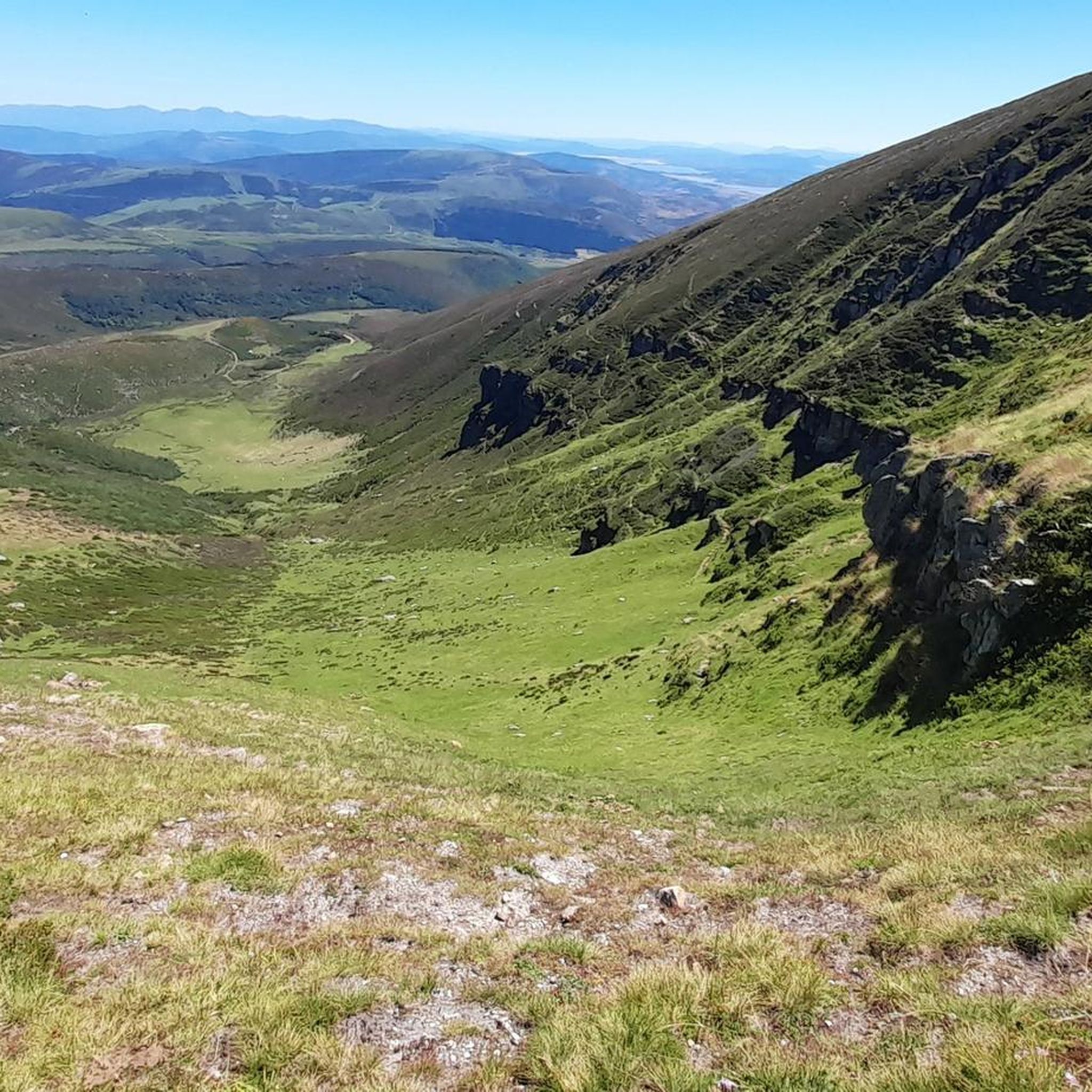
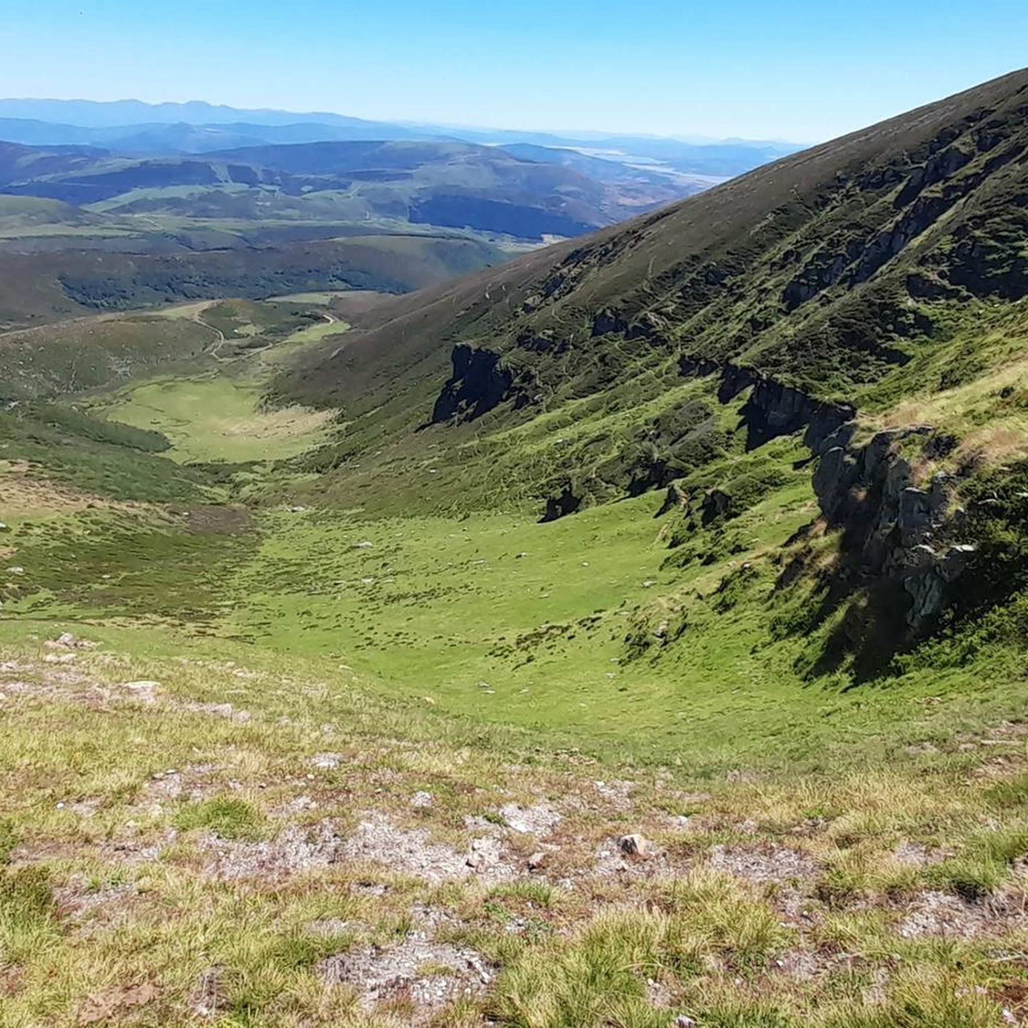
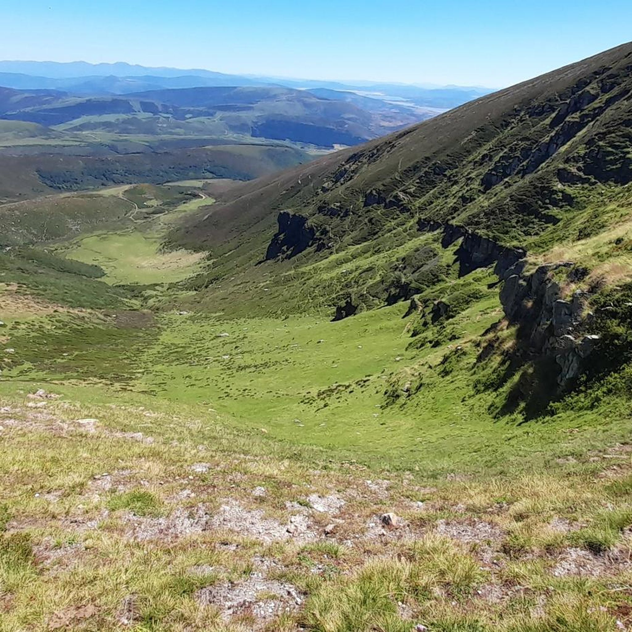
We set out with the hope of ascending to the summit of Tresmares, where the Hijar-Ebro River begins and flows into the Mediterranean, the Pisuerga River (a tributary of the Duero River) flows into the Atlantic, and the Nansa River flows into the Cantabrian Sea. But a thick, damp fog covering the landscape forced us to give up and head back down the same way we came up. The road is partially covered by a bike lane and very little traffic. A steady climb of around 10%. Absolutely recommended. A few years ago, the Alto Campoo pass was the final stage of La Vuelta a España.
0
0

The Collada de Carmona is a mountain pass in the Cantabrian mountain range located in western Cantabria.[1] It rises to 601 m above sea level and links the towns of Valle to the east and Carmona to the west, both belonging to the municipality of Cabuérniga.
0
0

Here you can find the poultry facility, dedicated to the production of free-range eggs and products from the Cantáfrica association's garden.
0
0

On a hill, and guarding the road that linked the coast with Castilla through the Saja Valley, is the Castillo de San Vicente, in Argüeso, within the municipality of the Brotherhood of Campoo de Suso, in the South from Cantabria (Spain). Built during the 13th, 14th and 15th centuries, it was the emblem and fortress of the dominion of the House of Mendoza in the highlands of Campoo.
8
0

The section between Linares and La Hermida will be a great surprise. It is a winding mountain road that will leave you with tired legs and a feeling of joy at being able to enjoy such unparalleled views. On the way down, I suggest you visit the Romanesque church of Santa Juliana, right at the entrance to the town of Lafuente.
0
0

Beautiful 12th century church and an example of Romanesque-style religious architecture in southern Cantabria. The church is listed as an Asset of Cultural Interest. Inside it has a small interactive museum.
1
0
The Soplao 10,000 cycling test includes Santibáñez in its route. The race passes through the town and heads towards the ascent to the Alto de San Ciprián whose summit is located between the mountains that surround the town of Santibañez. The water from this town also stands out, it is collected by many people for its freshness and flavor.
1
0
The small church of Santa Juliana is located right at the entrance to the town of Lafuente, on the road that goes up from Puentenansa to La Hermida in Peñarrubia. It was declared an Asset of Cultural Interest in 1983. Although it is a very simple and rough rural Romanesque work, its chronology has been between the end of the 12th century and the beginning of the 13th.
1
0
Frequently Asked Questions
How many road cycling routes are available in Mancomunidad De Campoo-Cabuérniga?
There are over 10 road cycling routes available in Mancomunidad De Campoo-Cabuérniga, offering diverse experiences for cyclists. These routes are rated by the komoot community with an average score of 4.3 stars.
What kind of terrain can I expect on road cycling routes in Mancomunidad De Campoo-Cabuérniga?
The region is nestled within the Cantabrian Mountains, so you can expect a mix of challenging mountain passes, such as Puerto de Palombera, and scenic descents into verdant valleys. Routes often feature significant elevation changes, with many areas ranging between 1000 and 1600 meters in altitude, all on well-maintained paved surfaces.
Are there road cycling routes suitable for beginners or less experienced cyclists?
Yes, there are routes suitable for various skill levels. While many routes involve significant climbing, you can find moderate options like the Fontibre, Villacantid, Alto de Bardal, Monasterio de Montes Claros, Reinosa – circular route, which offers a mix of climbs and descents without extreme difficulty. Another moderate option is the Aurora Fountain – Puerto de Palombera loop from Espinilla.
What are some challenging road cycling climbs in the region?
Mancomunidad De Campoo-Cabuérniga is known for its demanding mountain passes. Notable climbs include Puerto de Palombera, Collado de Hoz, Portillo de Tajahierro, and Collado de Fonfría. Routes like the Piedrasluengas, Collado de Hoz, Puentenansa – circular route feature over 2,350 meters of elevation gain, making them ideal for experienced climbers.
Are there circular road cycling routes available?
Yes, many road cycling routes in the area are circular, allowing you to start and end at the same point. Examples include the popular Piedrasluengas, Collado de Hoz, Puentenansa – circular route and the Collada de Carmona – Puerto de Palombera loop from Espinilla.
What scenic viewpoints can I visit along road cycling routes?
The region offers spectacular panoramic viewpoints. The Piedrasluengas Viewpoint, located over 1300 meters high, provides stunning vistas of the Picos de Europa, Peña Labra, and the valleys of Liébana and Valdeprado. Another great spot is the El Moral Plateau.
Are there any notable landmarks or natural features to see while road cycling?
Absolutely. You can cycle through parts of the Saja-Besaya Natural Park, known for its extensive forests and diverse ecosystems. Other natural highlights include the Source of the Ebro River and the ancient Fallen Oak of Brujilices. The charming village of Bárcena Mayor is also a cultural landmark worth visiting.
When is the best time of year for road cycling in Mancomunidad De Campoo-Cabuérniga?
The best time for road cycling is typically from late spring to early autumn (May to October). During these months, the weather is generally more stable, and mountain passes are clear of snow, offering ideal conditions for exploring the region's diverse terrain.
Are there any family-friendly paved bike paths in the area?
While many routes involve significant climbs, some sections or shorter routes around flatter valley areas might be suitable for families with older children or those seeking less strenuous rides. For dedicated paved bike paths, it's best to look for routes with lower elevation gains, such as the Brañavieja loop from Espinilla, which is a moderate option.
Where can I find parking for cyclists in Mancomunidad De Campoo-Cabuérniga?
Parking is generally available in the main towns and villages within the Mancomunidad, such as Reinosa or Espinilla, which serve as common starting points for many routes. Look for public parking areas, especially near trailheads or town centers, where you can safely leave your vehicle.
What do other road cyclists enjoy the most about road cycling in Mancomunidad De Campoo-Cabuérniga?
The area is highly rated by the komoot community, with an average score of 4.3 stars. Reviewers often praise the challenging mountain passes, the breathtaking panoramic views from high points like the Piedrasluengas Viewpoint, and the serene natural environment found within the Cantabrian Mountains and the Saja-Besaya Natural Park.
Can I use public transport with my bike in the region?
Public transport options that accommodate bikes can be limited, especially in more rural mountain areas. For specific routes or services, particularly those connecting larger towns like Reinosa, it is advisable to check with local bus or train operators in advance regarding their bike policies and availability.
Most popular routes around Mancomunidad De Campoo-Cabuérniga
Most popular attractions around Mancomunidad De Campoo-Cabuérniga

Get inspired with the komoot mobile app


Explore more
Browse the best Road cycling routes in other regions.
