The best walks and hikes in Bezirk Imst
4.6
(42981)
217,691
hikers
2,117
hikes
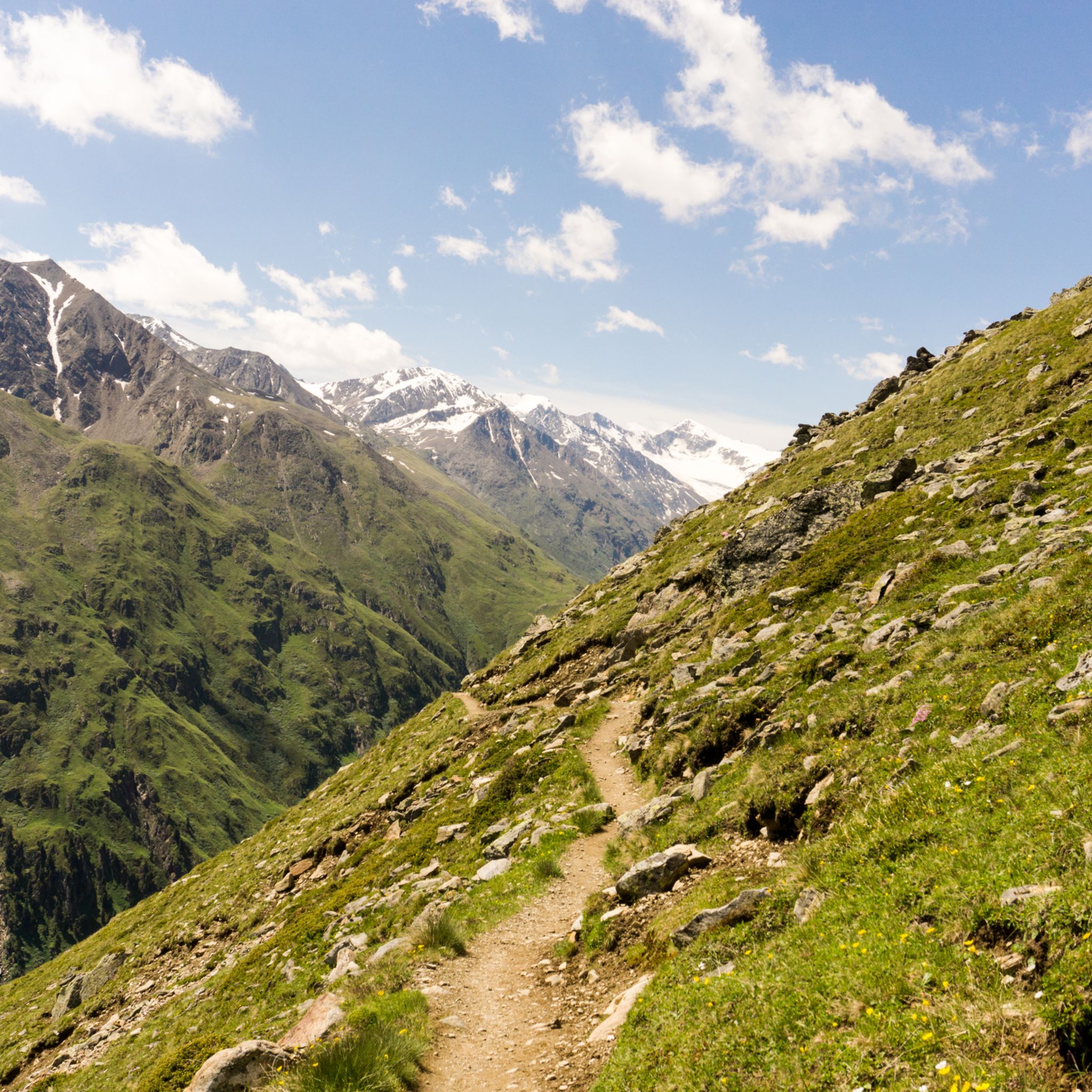
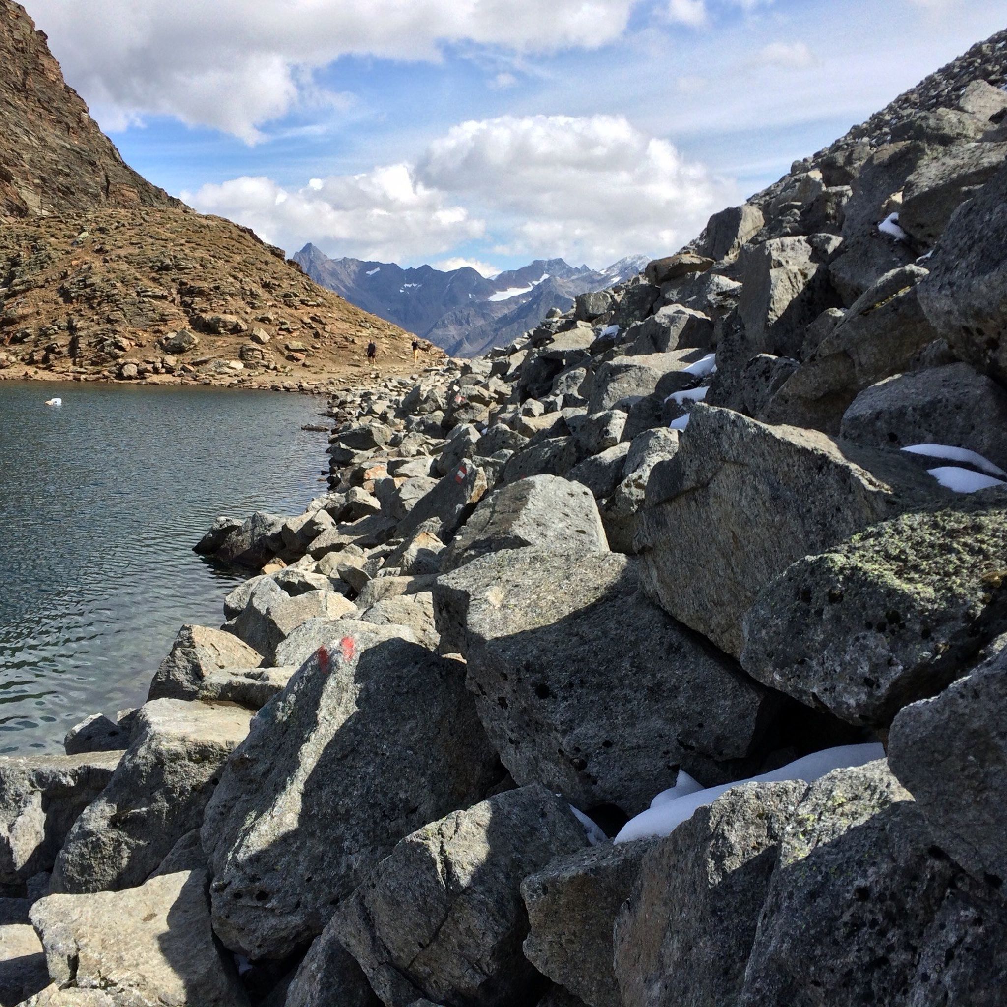
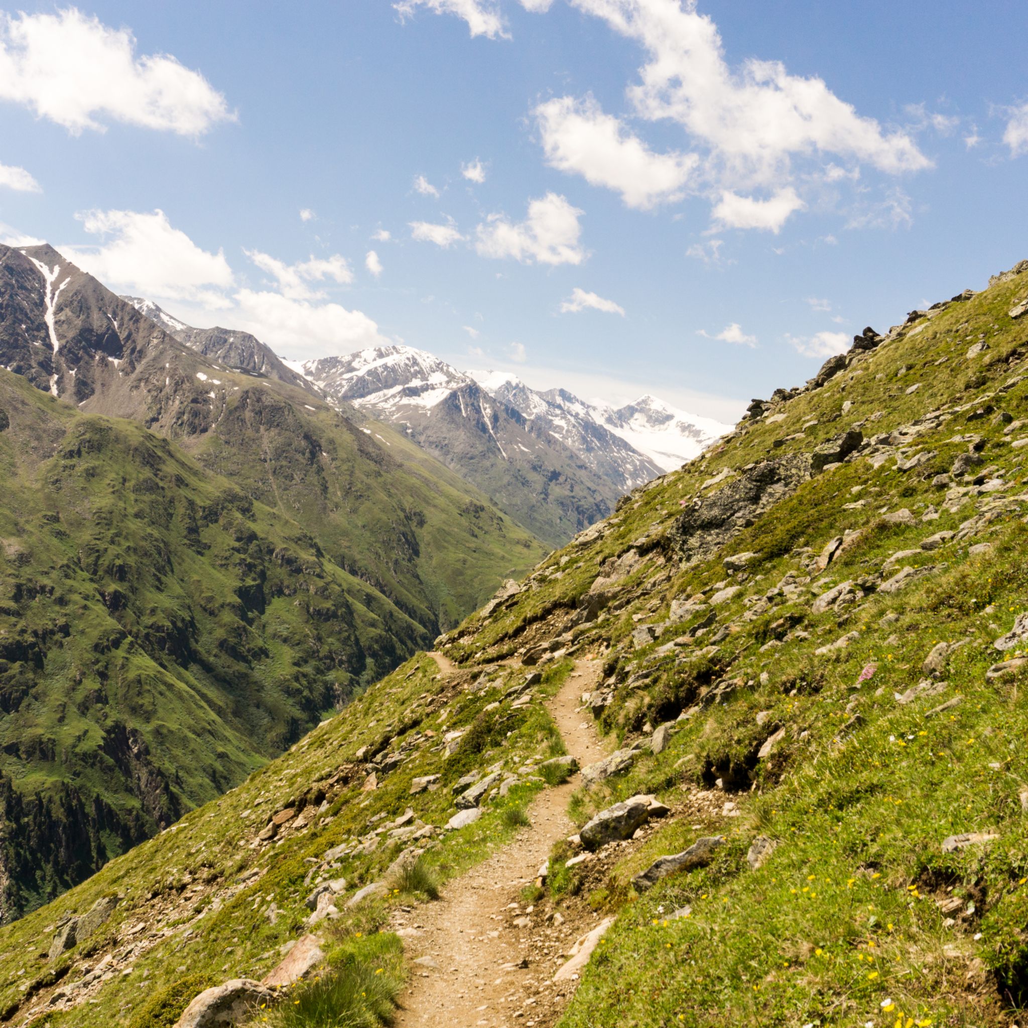
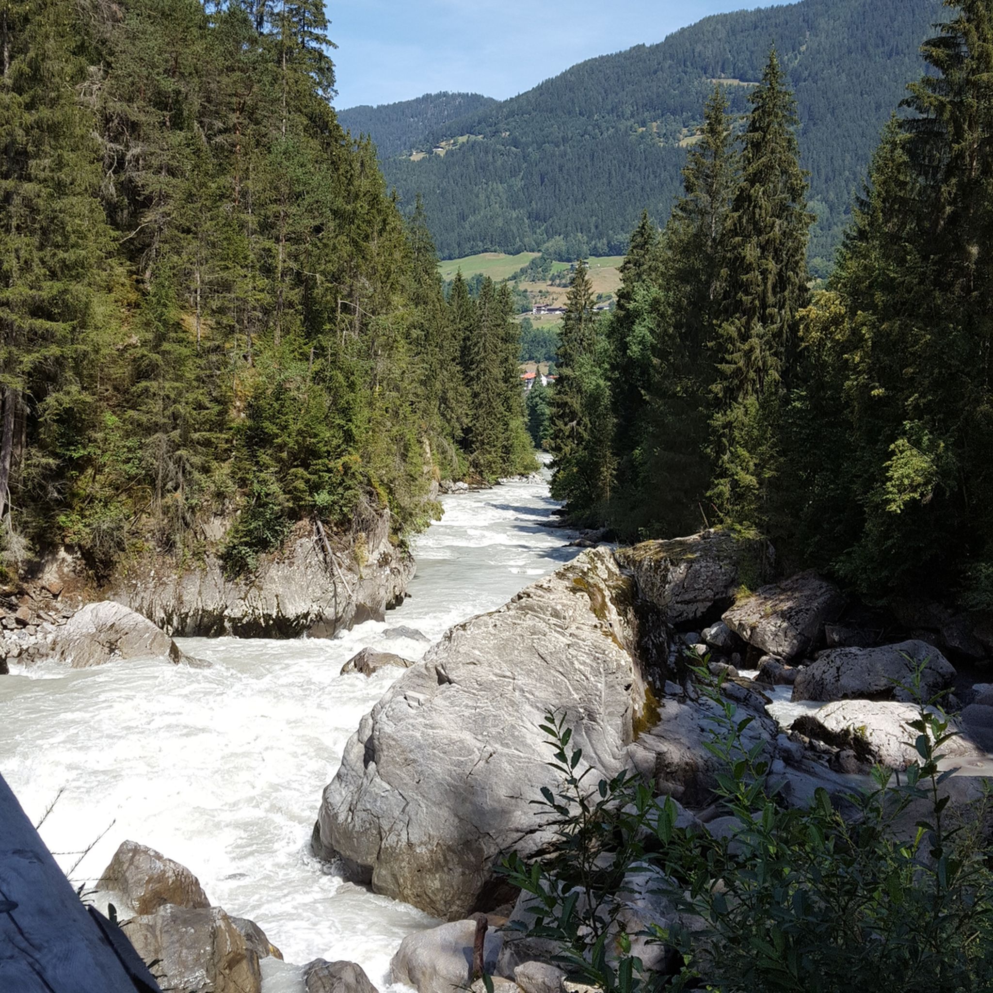
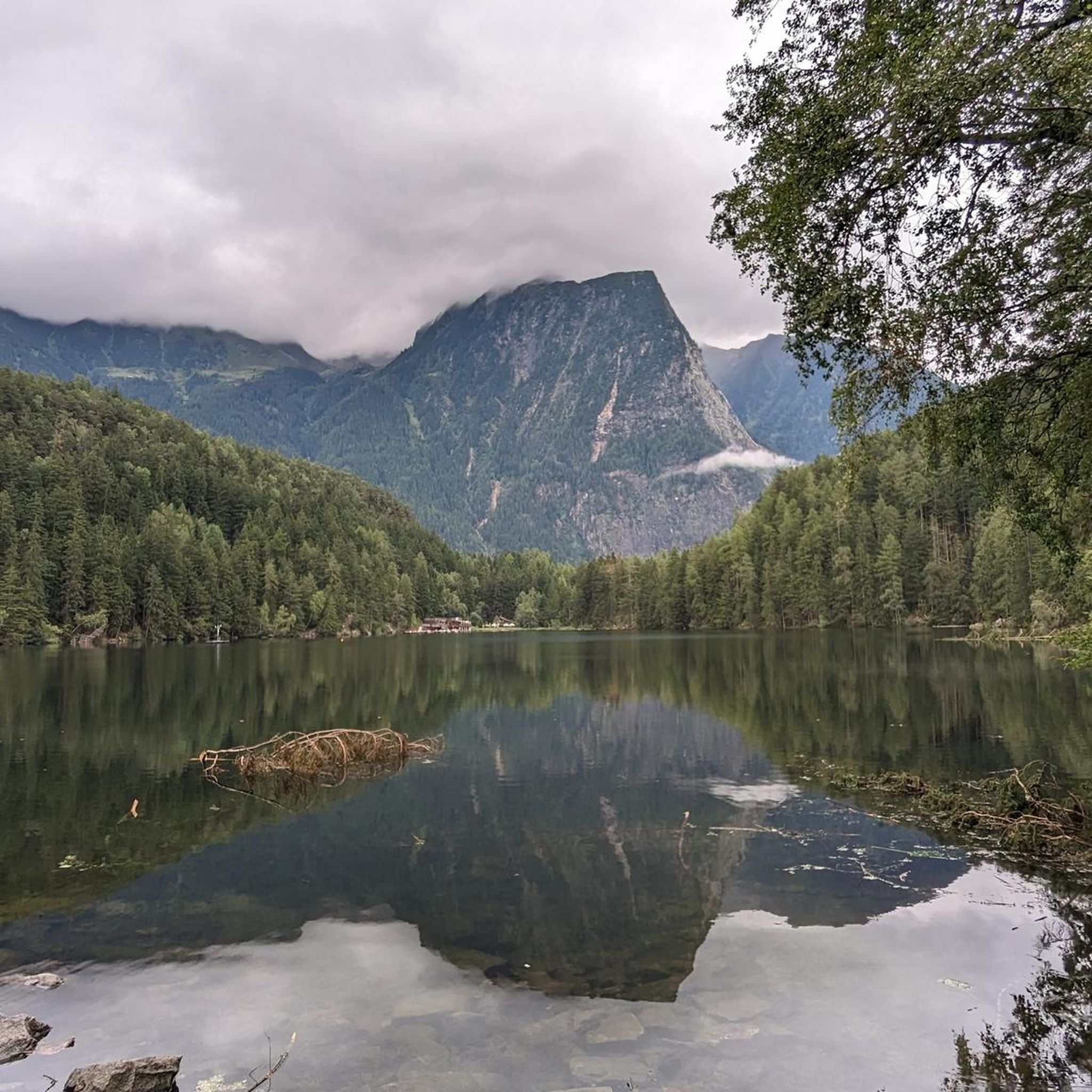
Hiking in Bezirk Imst offers diverse terrain across the Tyrol region, characterized by its varied mountain landscapes and the vastness of the Inn Valley. The area features high-alpine environments, dense forests, and meadows, with elevations ranging from valley floors to significant peaks. Numerous picturesque mountain lakes and dramatic gorges, such as the Rosengarten Gorge, are prominent natural features.
Best hiking trails in Bezirk Imst
- The most popular hiking route is Archaeological Hiking Trail A2, a 6.2 miles (9.9 km) trail that takes 6 hours 13 minutes to complete. This difficult route ascends through varied terrain.
- Another top favourite among local hikers is Wasserläufer Waalweg Mooserstegle – Wandern im Ötztal, an easy 3.8 miles (6.1 km) path. This trail follows a historic water channel, offering gentle gradients and scenic views.
- Local hikers also love the Piccard Bridge Circular Route from Obergurgl, an 11.5 miles (18.4 km) trail leading through high-alpine landscapes, often completed in about 7 hours 44 minutes.
- Hiking in Bezirk Imst is defined by Alpine peaks, picturesque mountain lakes, and dramatic gorges. The extensive network of routes offers options for various ability levels, from easy valley walks to challenging high-alpine tours.
- The routes in Bezirk Imst are highly rated by the komoot community with an average score of 4.6 stars from more than 37,000 reviews. More than 196,000 hikers have used komoot to explore Bezirk Imst's varied terrain.
Last updated: October 24, 2026
4.7
(246)
915
hikers
6.16km
01:57
240m
240m
Easy hike. Easily walkable paths.
4.8
(140)
1,284
hikers
9.98km
06:14
1,150m
1,160m
Hike the difficult 6.2-mile Ötzi Archaeological Trail from Vernagt Reservoir to Similaun Hut, gaining 3789 feet in 6 hours.

4.7
(184)
690
hikers
6.44km
02:35
370m
380m
Moderate hike. Good fitness required. Mostly walkable paths. Sure-footedness required.
4.9
(128)
753
hikers
18.0km
06:19
380m
970m
Hike the difficult Fuldaer Höhenweg to Taschachhaus, covering 11.2 miles with 1243 feet of gain in 6 hours and 18 minutes.
4.8
(143)
656
hikers
18.4km
07:44
1,030m
1,030m
Hike the difficult Piccard Bridge circular route from Obergurgl, offering high-alpine views and a thrilling suspension bridge crossing.
4.8
(1738)
8,243
hikers
18.8km
09:28
1,380m
1,380m
Hard hike. Very good fitness required. Sure-footedness, sturdy shoes and alpine experience required.
4.7
(176)
600
hikers
12.5km
04:36
780m
780m
Hike the moderate Polltal - Breitlehn Alm Trail for 7.8 miles (12.5 km) through forests to alpine pastures with panoramic Ötztal views.
4.7
(1306)
5,181
hikers
Moderate hike. Good fitness required. Easily walkable paths.
4.8
(108)
433
hikers
6.02km
02:55
460m
460m
Moderate hike. Good fitness required. Mostly walkable paths. Sure-footedness required.
4.9
(100)
524
hikers
18.9km
09:05
1,290m
1,290m
Alpine trek crossing Windachscharte pass to pristine Schwarzsee lake with marmot spotting opportunities.
Get access to more routes and recommendations from other explorers.
Already have an account?
Our route recommendations are based on thousands of hikes, rides, and runs completed by other people on komoot.
Start today with a free account
Your next adventure awaits.
Other adventures in Bezirk Imst


Tips from the Community

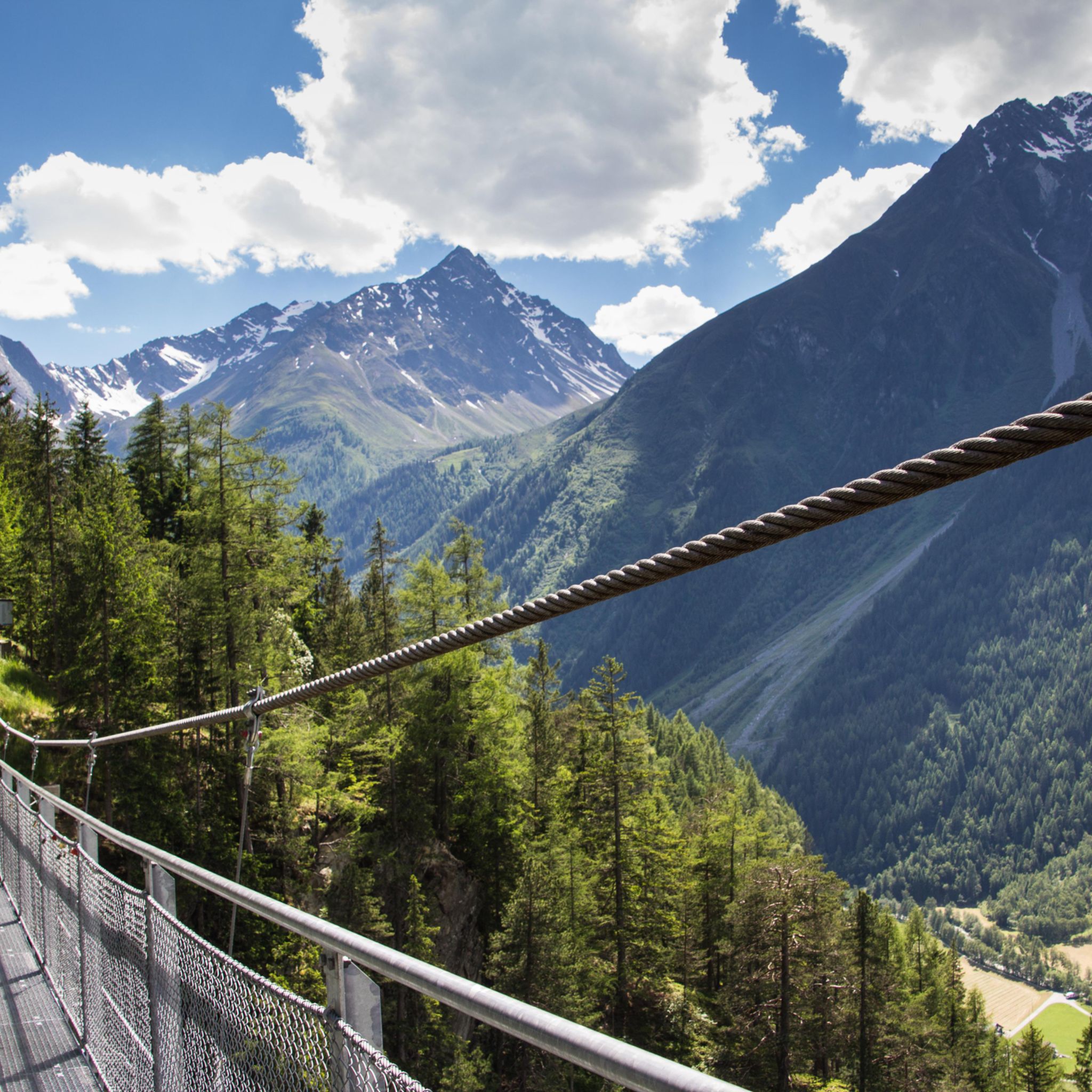
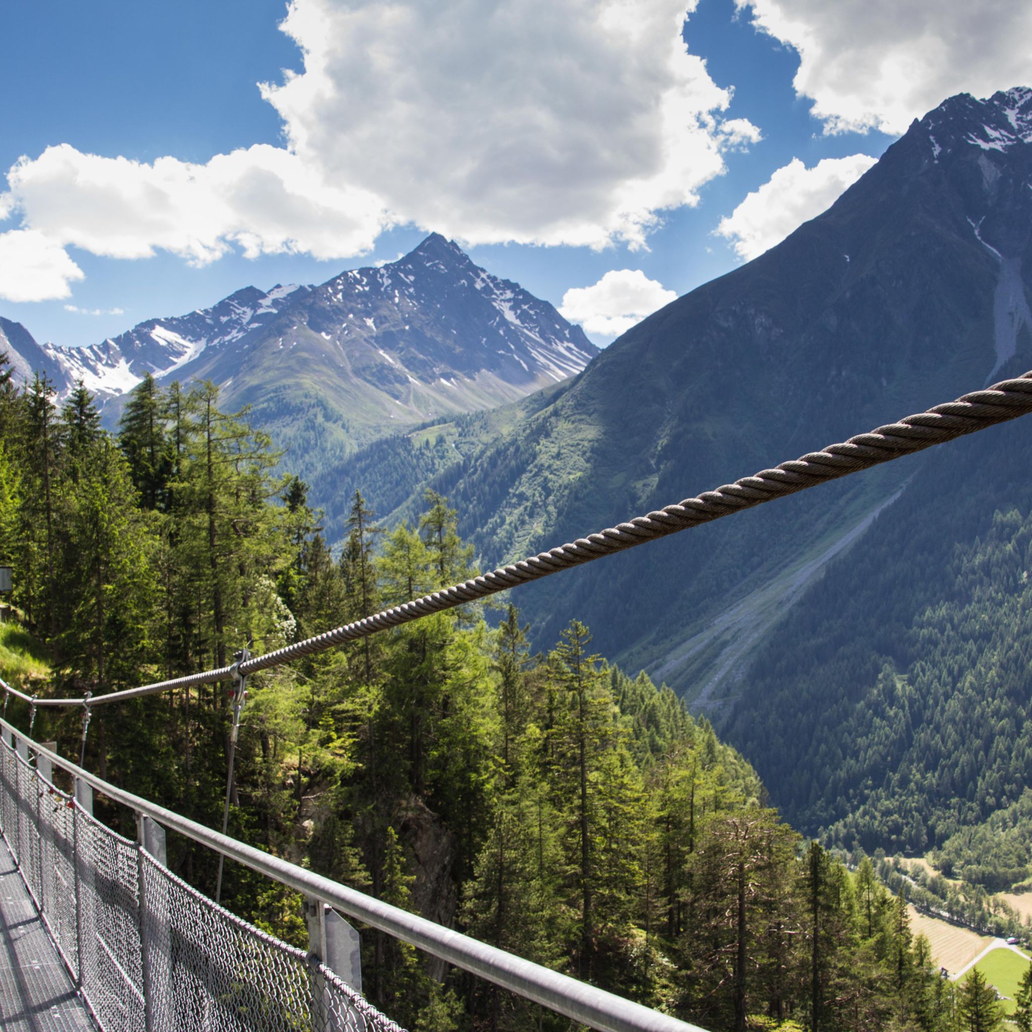
The Längenfeld-Burgstein suspension bridge is a spectacular destination in the Ötztal valley, Tyrol (Austria). It spans an impressive 110 meters above the deep valley floor of the Ötztaler Ache and connects the two idyllic sun plateaus of the mountain villages of Brand and Burgstein. The steel pedestrian bridge is 83 meters long and offers thrill-seekers a breathtaking view down into the depths as well as a magnificent panorama of the Längenfeld valley basin. The bridge was designed to blend harmoniously into the alpine mountain landscape, while at the same time offering modern thrills: It consists of a robust steel construction with a grating floor. This means that when crossing, you can look directly down between your own feet for over 100 meters into the depths. With a width of 1.20 meters, the bridge is dimensioned so that it can also be crossed easily with strollers or by hikers with dogs (provided the four-legged friends are not bothered by the grating floor). Crossing the suspension bridge is completely free of charge and accessible all year round. The suspension bridge can be perfectly experienced as part of an easy to moderate circular hike that guarantees fantastic views.
2
0

The Max-Klotz-Steig is a well-known alpine hiking trail in the Wetterstein Mountains on the Tyrolean side near Ehrwald in Austria. It is known as a section of the popular Gatterl Tour as well as for the ascent from the Gaistal valley. The trail leads above the Hochfeldern-Alm, past the Felderer Joch, and continues towards the Gatterl border crossing (Austria/Germany) or to the Knorrhütte. On the classic Gatterl Tour to the Zugspitze, the trail forms the central ascent path in the middle section. Surefootedness, sturdy hiking boots, and good basic fitness are required, as the path leads through partly rugged, alpine terrain.
0
0

The water accompanies you for most of the route. Highly recommended even in warm temperatures
0
0

Unfortunately, the glacier is getting smaller year by year, but the view is of course still impressive.
1
0

We took a short hike between two sauna sessions in the Aqua Dome.
2
0


Bicycles can be rented from the valley station of the Taschachhaus cable car. They cost €15 per bike. This makes the 7km return to Mandarfen quick. The route is very steep and easy to cycle. The return journey is along a well-maintained gravel road. It's important to watch out for the cows, as they graze in the pastures and may even stand on the path.
1
0

The name "Alm" brought to mind chilled drinks. We were all the more disappointed when, in front of the "Alm," which consists of a small stable and a demolished building, there was only a wooden bench. At least we could sit comfortably and enjoy the view, but at this point in the tour, I would have been willing to pay a huge pile of money for a cold apple spritzer 🌵🏜️🐪
1
0
Frequently Asked Questions
What kind of hiking experiences can I expect in Bezirk Imst?
Bezirk Imst offers a wide range of hiking experiences, from gentle walks through forests and meadows to challenging high-alpine tours. You can enjoy impressive views of the Ötztal glaciers, the vastness of the Inn Valley, and explore picturesque mountain lakes and dramatic gorges. The region boasts over 2,100 hiking routes, catering to all fitness levels.
Are there easy hiking trails suitable for beginners or casual walkers?
Yes, Bezirk Imst has many easy trails. For instance, the Wasserläufer Waalweg Mooserstegle – Wandern im Ötztal is an easy 6.1 km path that follows a historic water channel, offering gentle gradients and scenic views. Approximately 680 easy routes are available in the region.
Can I find family-friendly hikes in Bezirk Imst?
Absolutely. The hiking region around Imster Bergbahnen is particularly well-suited for families. Trails like the Pilzpfad (Mushroom Trail), Jägersteig (Hunter's Path), and the Rosengarten Gorge are designed with children in mind, often leading to playgrounds, family parks, or adventure trails where kids can explore alpine animals.
Are there any circular hiking routes in the area?
Yes, many routes in Bezirk Imst are circular. An example is the Circular hike Wasserläufer Mutsbühel from Vent - Ötztal Nature Park, a moderate 6 km trail. Circular routes allow you to start and end at the same point, often providing diverse scenery throughout the journey.
What natural attractions or landmarks can I see while hiking?
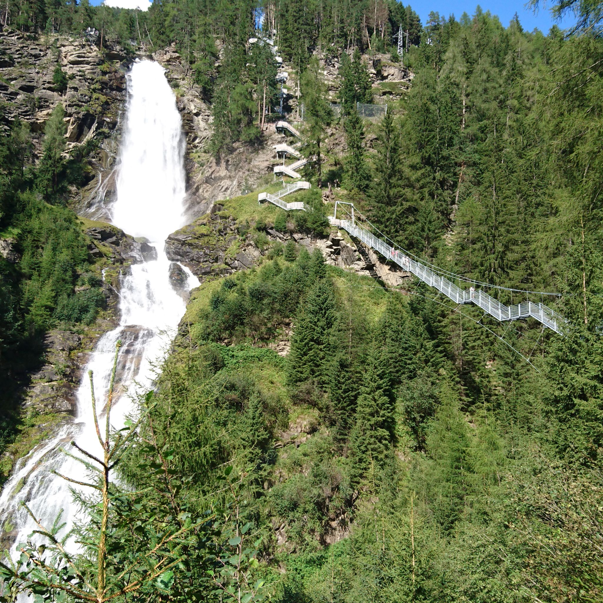
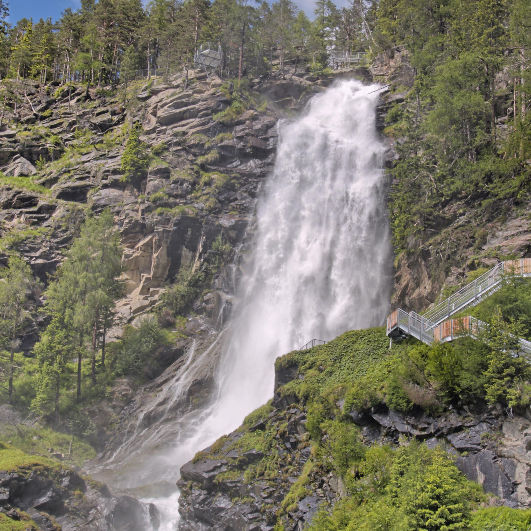
Bezirk Imst is rich in natural beauty. You can explore the dramatic Rosengarten Gorge with its rushing Schinderbach river and the historic Blue Grotto. Picturesque mountain lakes like Seebensee are also popular destinations. For those seeking adventure, the Lehner Waterfall and its associated via ferrata offer an exciting experience.
Are there any huts or places to rest and eat along the trails?
Yes, the region has numerous quaint huts that provide opportunities for rest and enjoyment of local delicacies. Notable examples include the Coburger Hut and the Braunschweiger Hut, among many others listed in the Huts and Cabins guide for Bezirk Imst.
What do other hikers say about the trails in Bezirk Imst?
The trails in Bezirk Imst are highly rated by the komoot community, with an average score of 4.6 stars from over 37,000 reviews. Hikers often praise the stunning Alpine scenery, the diverse trail options, and the well-maintained paths that cater to various ability levels.
Are there any trails that lead to significant peaks or offer high-alpine experiences?
Yes, for experienced hikers, Bezirk Imst offers challenging high-alpine tours. The Piccard Bridge Circular Route from Obergurgl is an 18.4 km trail leading through high-alpine landscapes. The region also features peaks like the Schrankogel and Wannig, offering breathtaking panoramic views.
Can I access hiking trails using public transport?
Bezirk Imst has a well-developed infrastructure, and buses are often available to assist with ascents and provide access to various trailheads. It's advisable to check local public transport schedules for specific routes and access points.
What is the best time of year to go hiking in Bezirk Imst?
The best time for hiking in Bezirk Imst generally spans from late spring to early autumn (May to October), when the weather is mild, and trails are clear of snow. High-alpine routes are best tackled in mid-summer. Always check local weather conditions before heading out.
Are there any trails that offer a unique historical or cultural experience?
Yes, some trails offer a glimpse into the region's history. The Archaeological Hiking Trail A2 is a difficult 9.9 km route that ascends through varied terrain, providing insights into the area's past. The Blue Grotto in Rosengarten Gorge also has a history of ancient Roman mining activities.
Are there any trails that are particularly long or challenging?
For those seeking a significant challenge, routes like the Siegerlandhütte to Schwarzsee via Windachscharte Pass offer a demanding 18.9 km journey with substantial elevation changes. Approximately 510 difficult routes are available for experienced hikers.
Most popular routes in Bezirk Imst
Most popular attractions in Bezirk Imst

Get inspired with the komoot mobile app


Didn’t find what you were looking for?
Check out more Hikes throughout Bezirk Imst below and find the perfect route in your destination.
Explore more
Browse the best Hikes in other regions.
