The best walks and hikes around Kreis Wesel
4.5
(29095)
119,807
hikers
4,209
hikes
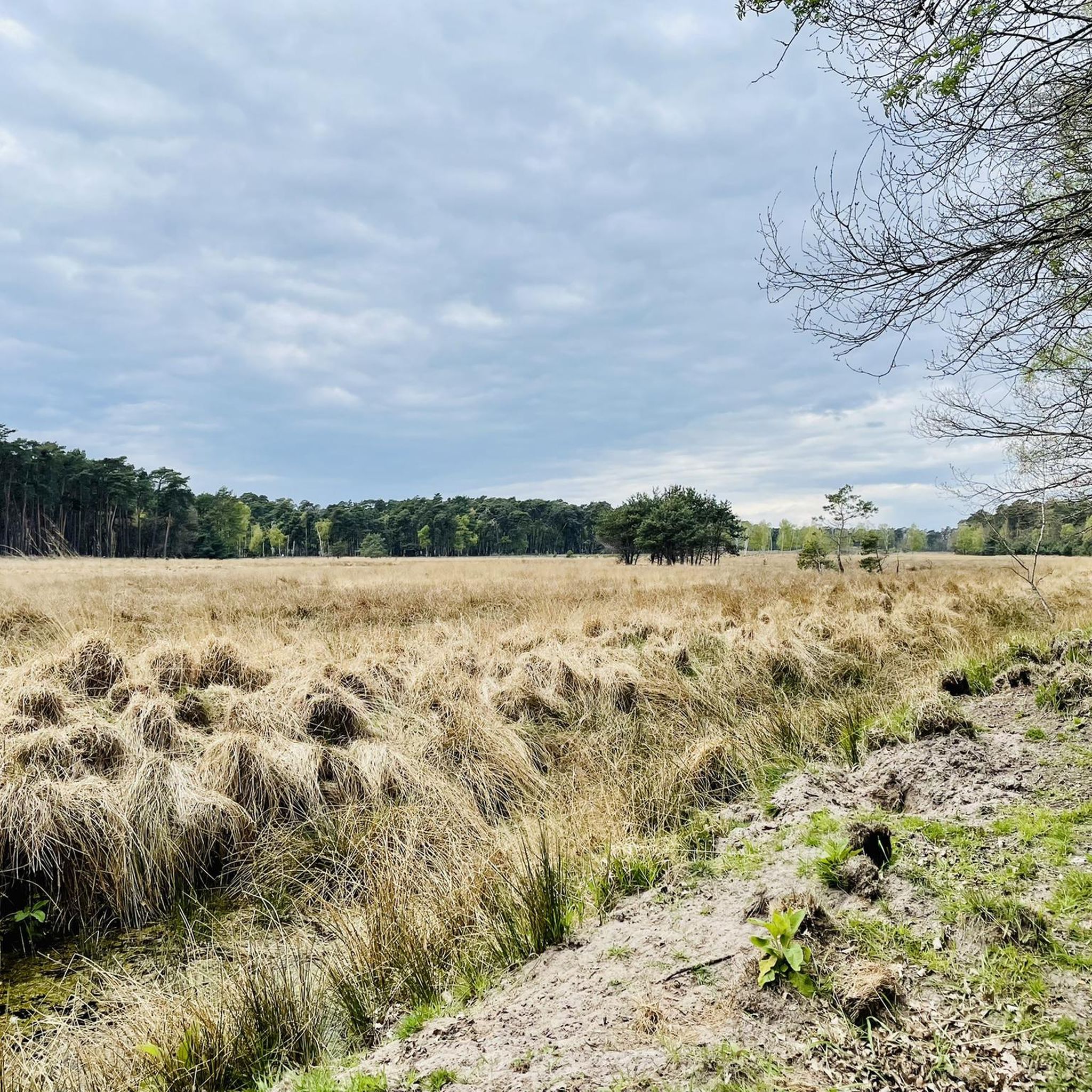
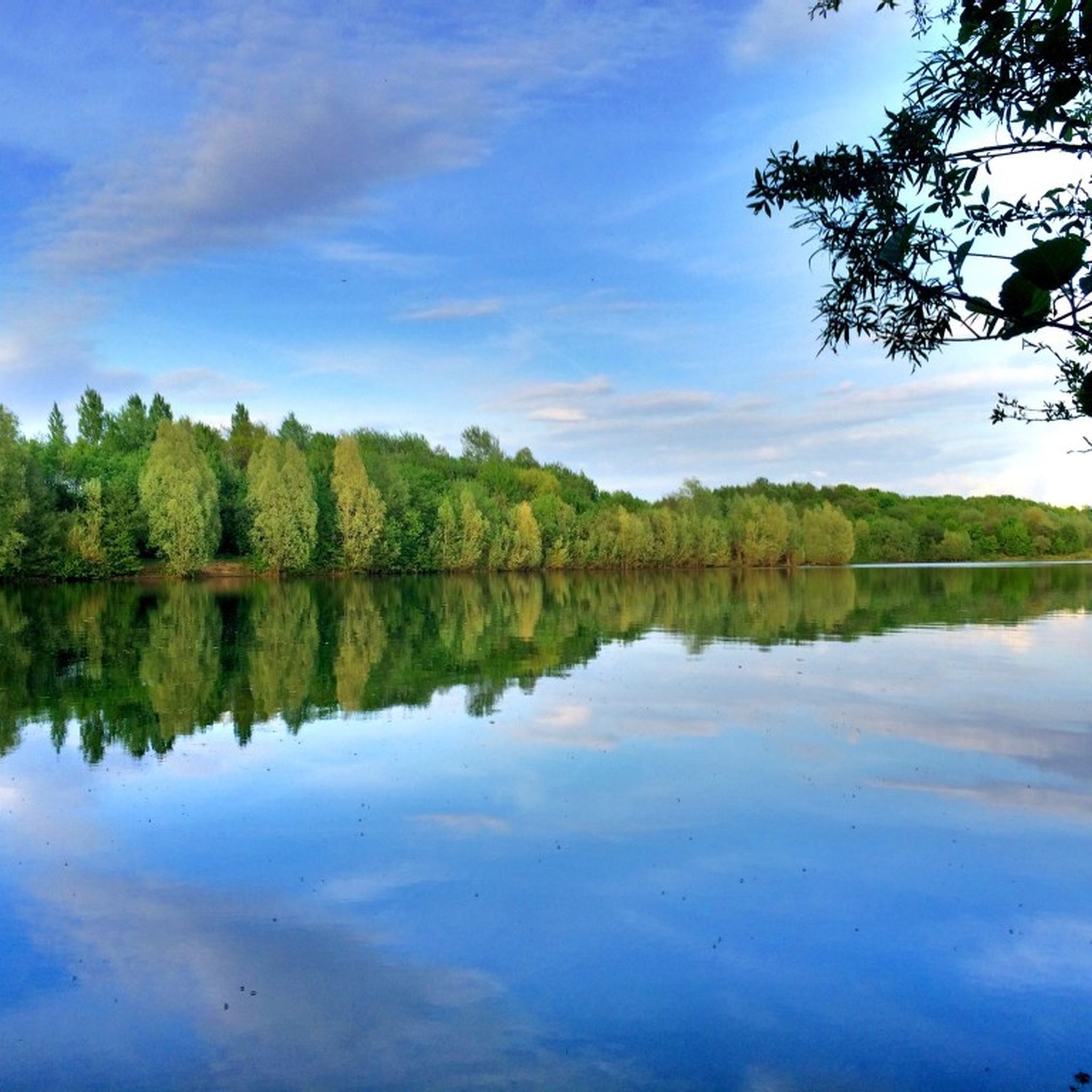
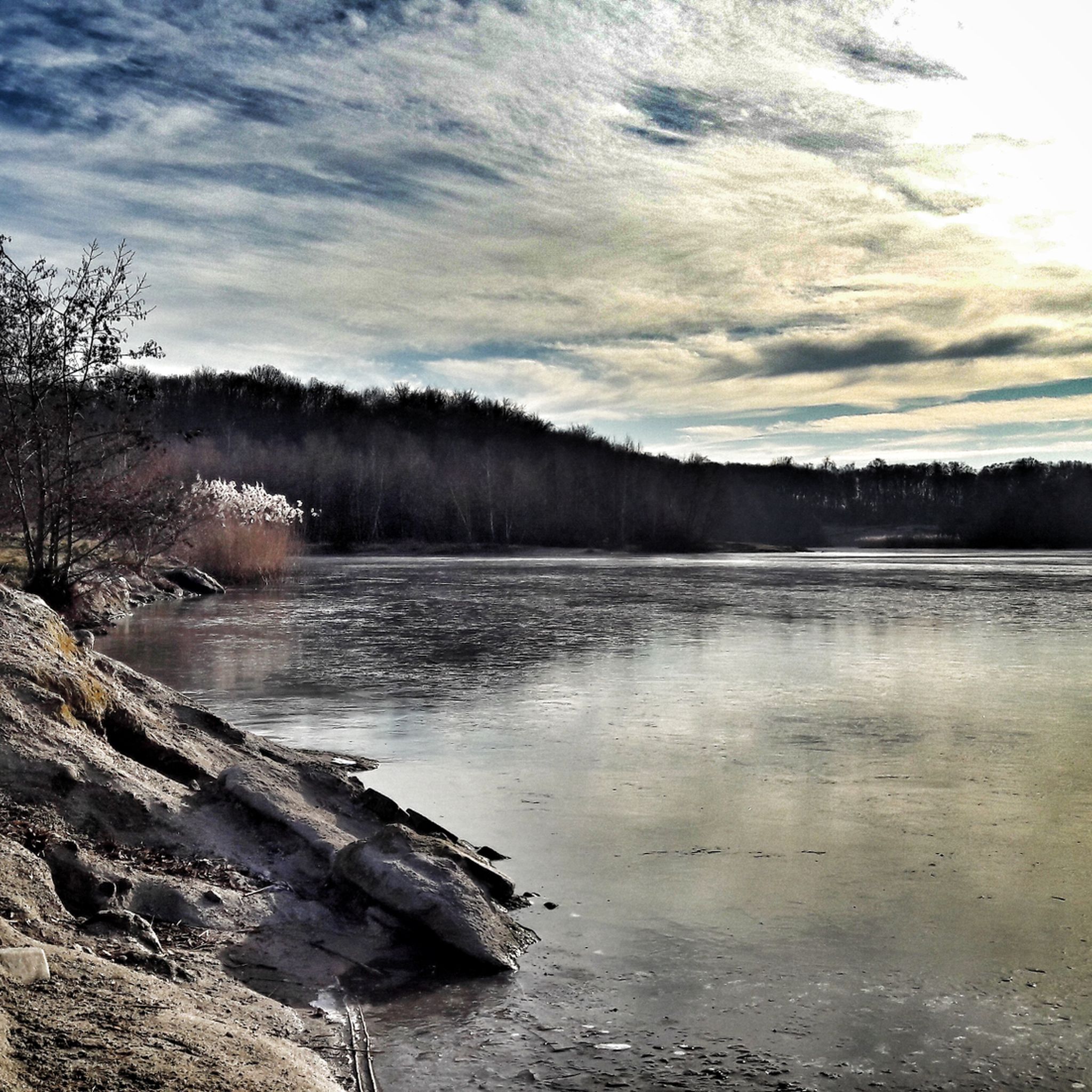
Hiking trails around Kreis Wesel traverse a diverse landscape characterized by riverine flood plains, extensive forests, and open heathlands within the Lower Rhine region. The area features numerous lakes, such as Auesee and Waldsee Baerl, providing varied scenery for outdoor activities. Hikers can explore a network of paths through natural reserves and woodlands, with minimal elevation changes across the terrain. This blend of water features and wooded areas offers accessible routes for various skill levels.
Best hiking trails around Kreis…
Last updated: May 11, 2026
4.7
(373)
1,303
hikers
15.5km
03:54
30m
30m
Moderate hike. Good fitness required. Easily-accessible paths. Suitable for all skill levels.
4.6
(288)
894
hikers
12.9km
03:18
50m
50m
Moderate hike. Good fitness required. Easily-accessible paths. Suitable for all skill levels.

Sign up for free
4.7
(164)
510
hikers
Easy hike. Great for any fitness level. Easily-accessible paths. Suitable for all skill levels.
4.7
(474)
1,429
hikers
Moderate hike. Good fitness required. Easily-accessible paths. Suitable for all skill levels.
4.6
(408)
1,414
hikers
Easy hike. Great for any fitness level. Easily-accessible paths. Suitable for all skill levels.
4.7
(394)
1,378
hikers
Moderate hike. Good fitness required. Easily-accessible paths. Suitable for all skill levels.
4.6
(374)
1,596
hikers
8.78km
02:13
10m
10m
Moderate hike. Good fitness required. Easily-accessible paths. Suitable for all skill levels.
4.7
(371)
1,151
hikers
Moderate hike. Good fitness required. Easily-accessible paths. Suitable for all skill levels.
4.7
(592)
2,519
hikers
7.69km
01:56
10m
10m
Easy hike. Great for any fitness level. Easily-accessible paths. Suitable for all skill levels.
4.8
(294)
865
hikers
Moderate hike. Good fitness required. Easily-accessible paths. Suitable for all skill levels.
Get access to more routes and recommendations from other explorers.
Sign up for free
Already have an account?
Our route recommendations are based on thousands of hikes, rides, and runs completed by other people on komoot.
Start today with a free account
Your next adventure awaits.
Login or Signup
Other adventures around Kreis Wesel


Tips from the Community

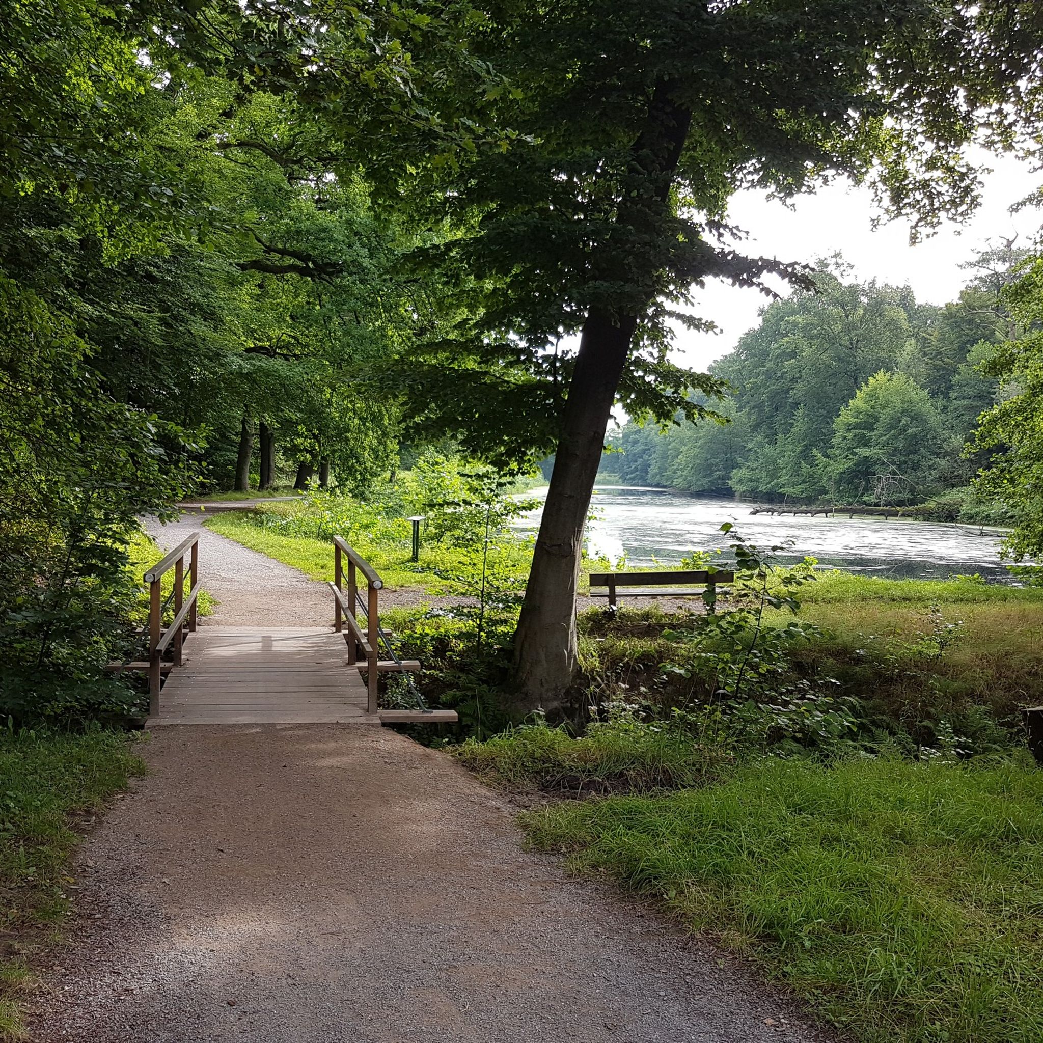
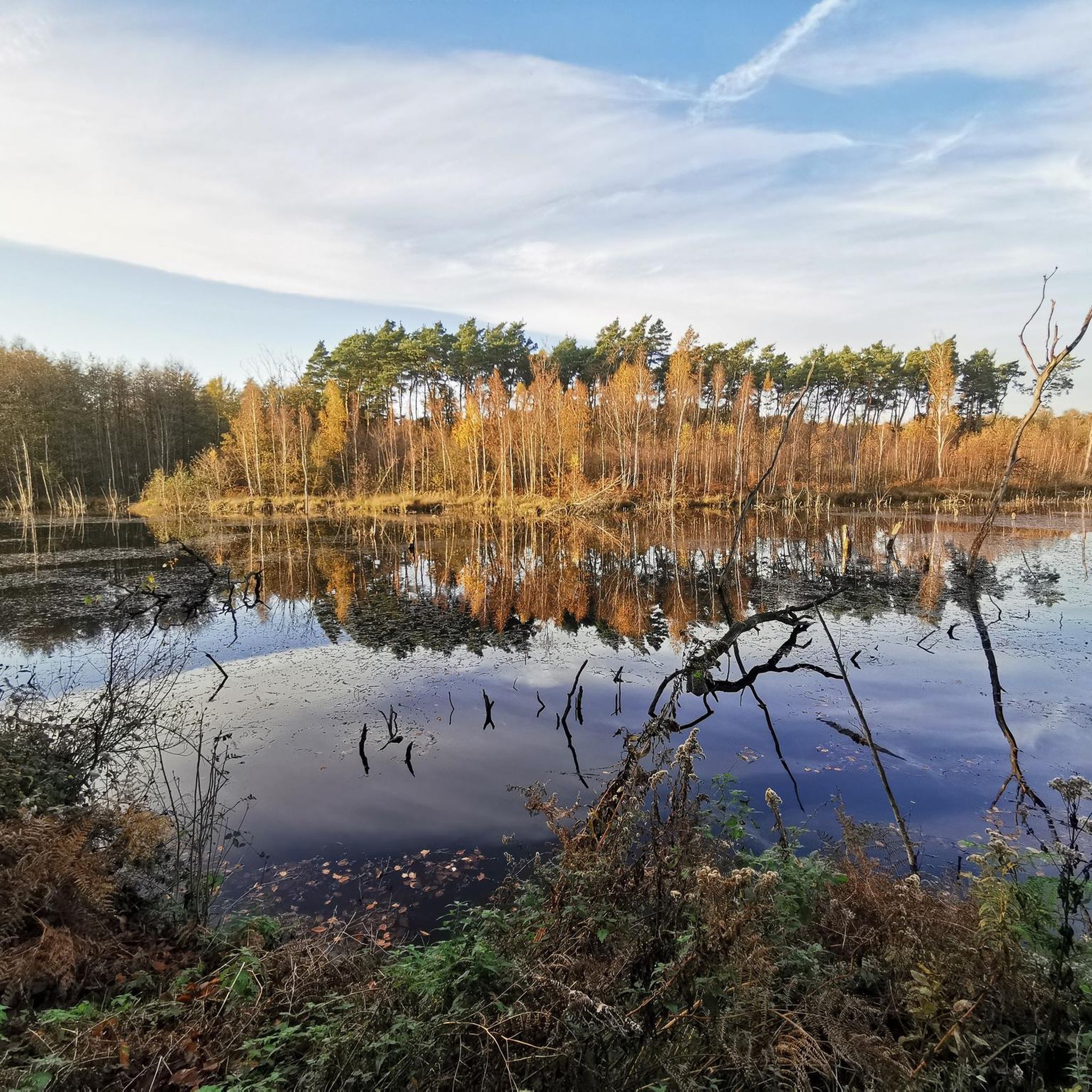
A few benches along the shore of Lake Aue invite you to linger. However, the view is now overgrown in most places.
0
0

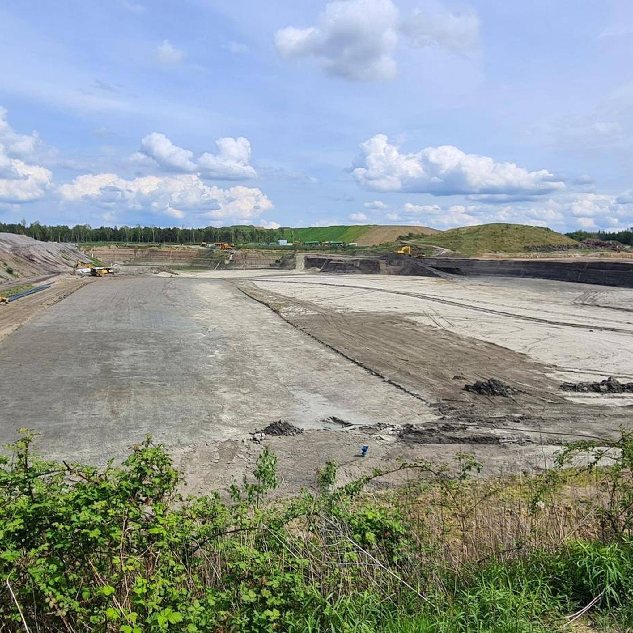
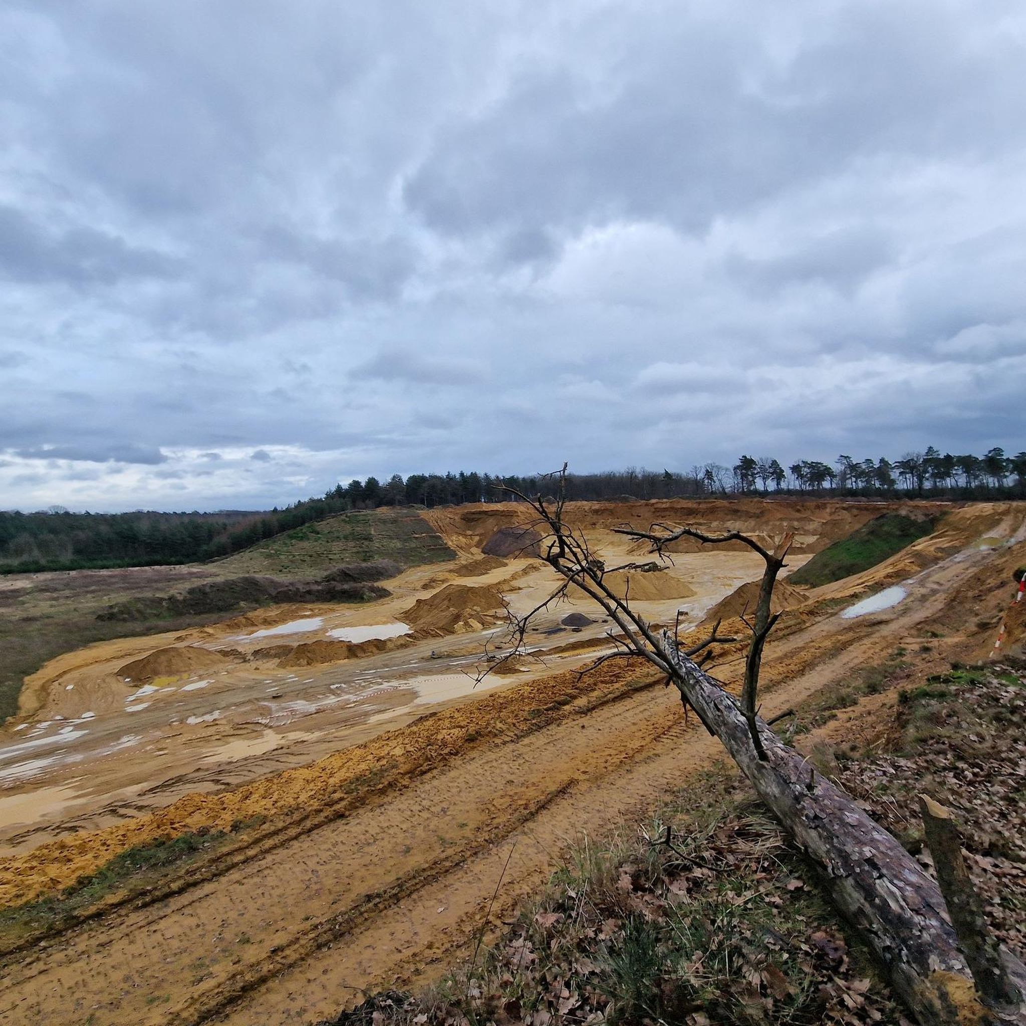
I wouldn't have thought such areas existed here! Of course, they're only beautiful for cycling from a distance.
1
0

Currently the Olli Briesch Lake
0
0

The wooden bird of prey had just been completed when we arrived.
0
0

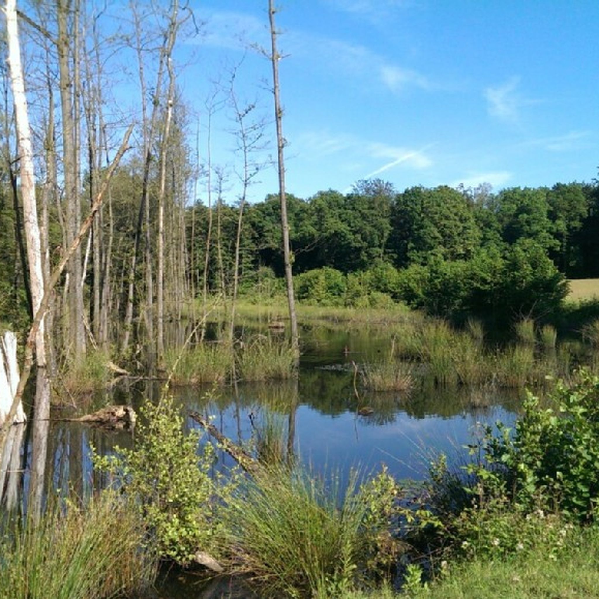
Small rest area with a lake view. There is also a small table there.
0
0

Nice and shady
0
0

Many small paths lead through the bush - not suitable for normal bikes.
0
0

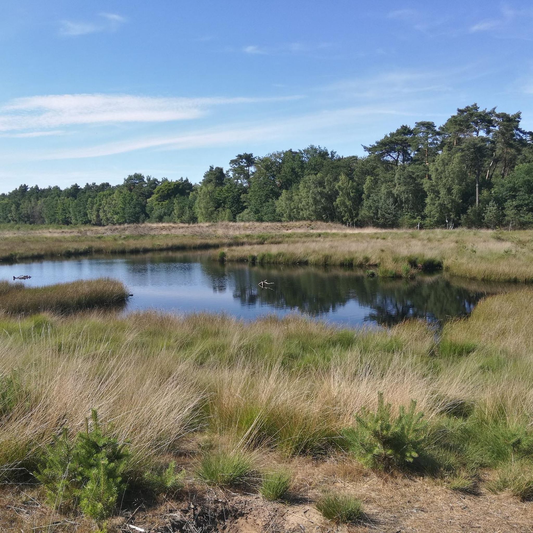
Beautiful lake, perfect for a short evening walk, not much going on
2
0
Frequently Asked Questions
How many hiking trails are there in Kreis Wesel, and what variety can I expect?
Kreis Wesel offers an extensive network of over 4,100 hiking trails. You'll find a diverse range of options, from easy strolls through riverine landscapes and heathlands to more moderate day hikes through dense forests and around picturesque lakes. The region is known for its minimal elevation changes, making many routes accessible to a broad audience.
What kind of natural landscapes and features can I discover while hiking in Kreis Wesel?
The region boasts diverse natural landscapes, including the unique flood plains of the Bislicher Insel Nature Reserve, extensive woodlands like the Diersfordter Wald, and the distinct heathlands of the Dingdener Heide. You'll also encounter numerous lakes such as Auesee and Waldsee Baerl, as well as characteristic cultural landscapes with pollarded willows and old Rhine arms.
Are there any easy, family-friendly hiking routes in Kreis Wesel?
Yes, Kreis Wesel has many easy trails suitable for families. For instance, the LandStreifer Hamminkeln/Rhede, Dingdener/Büngerner Heide 'time travel' is an easy 5.3 km path exploring heathland. Another accessible option is the Waldsee Baerl – Baerler Busch Forest Lake loop from Homberg/Ruhrort/Baerl, a 6.4 km route through forested areas.
What do other hikers enjoy most about the trails in Kreis Wesel?
The hiking routes in Kreis Wesel are highly rated by the komoot community, with an average score of 4.5 stars from over 26,000 reviews. Hikers often praise the well-maintained paths, the peaceful natural surroundings, and the variety of landscapes, from tranquil forests to scenic lake views and riverine areas. Many appreciate the accessibility of the trails for all fitness levels.
Are there any circular hiking routes in the area?
Yes, many trails in Kreis Wesel are designed as circular routes, offering convenient starting and ending points. A popular example is the Auesee – Panoramic view of the Auesee loop from Wesel, an 8.8 km moderate hike around the lake. Another option is the Xanten South Lake – Kanten South Lake Beach loop from Xanten, an easy 7.7 km route.
Can I find trails that pass by lakes or offer water views?
Absolutely. Kreis Wesel is rich in water features. The Xanten North Sea and Xanten South Lake areas are popular for walks with water views. You can also explore routes around Auesee or Waldsee Baerl, such as the Baerler Busch Forest Lake – Baerler Busch loop from Regierungsbezirk Düsseldorf, which leads through forested areas around Waldsee Baerl.
Are there any notable natural monuments or ancient trees to see?
Kreis Wesel is home to various natural monuments, including ancient trees like linden, chestnut, yew, and beech trees, some hundreds of years old. These protected trees contribute to the region's unique charm. For more details on specific natural monuments, you can consult resources like Wikipedia's list for Wesel.
What is the best time of year to go hiking in Kreis Wesel?
Kreis Wesel offers pleasant hiking experiences throughout much of the year. Spring brings blooming landscapes, while summer provides lush greenery and opportunities for combining hikes with water activities at the lakes. Autumn transforms the forests with vibrant colors, and even winter can offer serene, crisp walks, especially in areas like the Diersfordter Wald.
Are there any specific trails that go through the Diersfordter Wald?
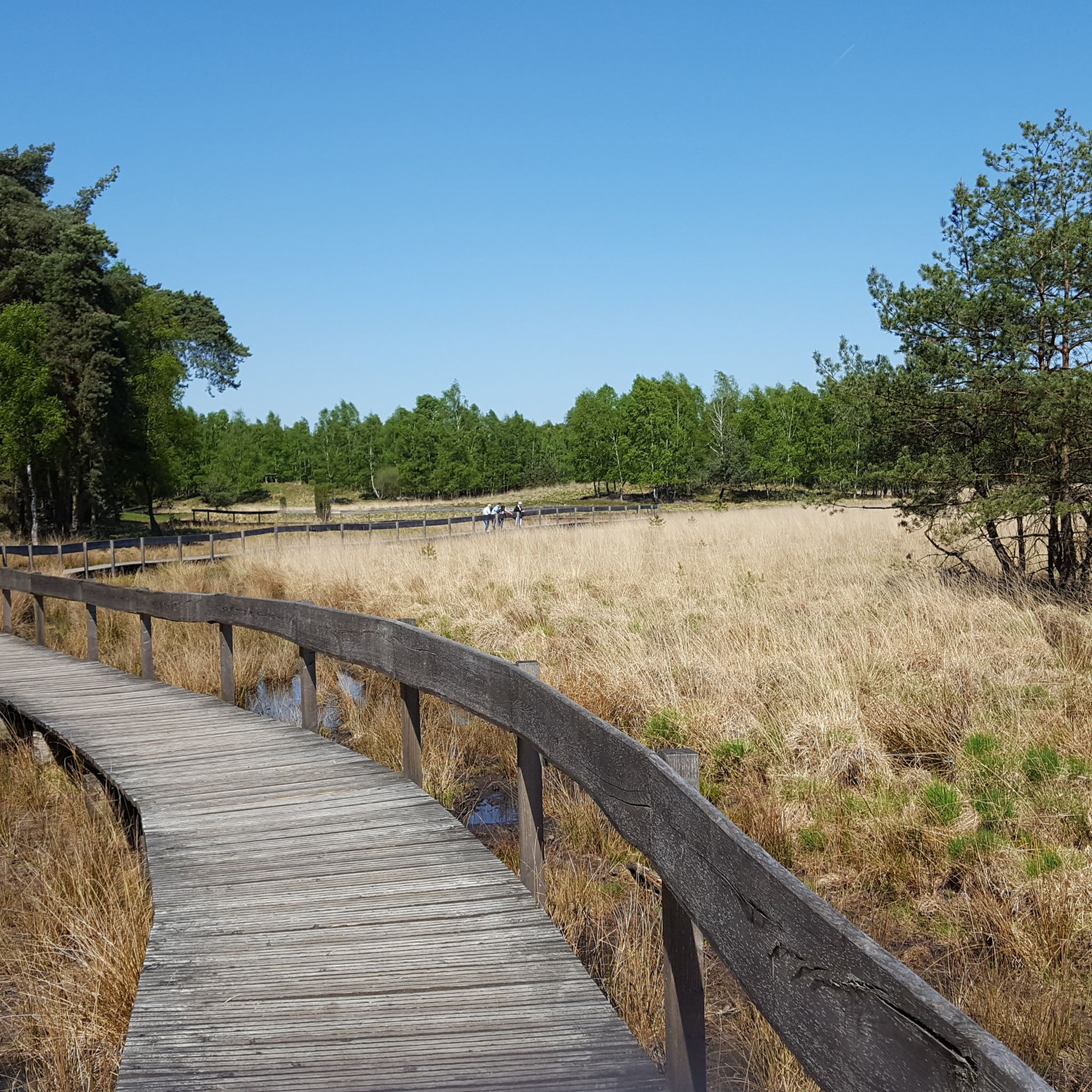
Yes, the Diersfordter Wald is a prominent forest area with well-documented trails. The LandStreifer Wesel – Diersfordter Wald is a popular 15.5 km moderate trail that takes you directly through its picturesque forest paths. The 'Moorerlebnisweg im Diersfordter Wald' also offers a unique boardwalk experience through a moorland landscape.
What are the typical terrain and elevation changes like on hikes in Kreis Wesel?
The terrain in Kreis Wesel is generally characterized by minimal elevation changes, making it relatively flat and accessible. You'll mostly encounter well-maintained paths through forests, along riverbanks, around lakes, and across open heathlands. This makes the region ideal for relaxed walks and moderate hikes without significant climbs.
Are there any longer, more challenging routes for experienced hikers?
While Kreis Wesel is known for its gentle terrain, there are longer routes for those seeking more distance. The Barefoot Trail Information Board (Ant Trail) – Ant Trail – Animal Track Trail loop from Wanderparkplatz Üfte is a moderate 15.5 km trail. Another option is the Forest Spirit Wood Carving – Bench in Dämmerwald Forest loop from Quellbachsystem Osterbach, Langefortsbach, which covers 11.6 km.
Can I find trails that are part of the Hohe Mark Nature Park?
Yes, Kreis Wesel is part of the Hohe Mark Nature Park, which offers charming insights into its diverse cultural landscape. Several 'LandStreifer' circular hiking trails in the region connect to or are part of the Hohe Mark Steig, providing structured hiking experiences through scenic areas within the park.
Most popular routes around Kreis Wesel
Most popular attractions around Kreis Wesel

Get inspired with the komoot mobile app


Didn’t find what you were looking for?
Check out more Hikes throughout Kreis Wesel below and find the perfect route in your destination.
Explore more
Browse the best Hikes in other regions.
