The best hikes from bus stations around Kreis Wesel
4.5
(33188)
122,863
hikers
2,233
hikes
Bus station hiking trails around Kreis Wesel navigate a diverse landscape shaped by the confluence of the Rhine and Lippe rivers. The region features expansive natural areas, including the Hohe Mark-Westmünsterland Nature Park, alongside significant forests like Diersfordter Wald. Hikers will find a variety of terrain, from flat paths along river dikes and through broad meadows to trails winding through woodlands and heathlands. This geographical composition provides numerous options for public transport access hiking trails Kreis Wesel.
Best bus station…
Last updated: October 25, 2026
4.7
(501)
1,357
hikers
Moderate hike. Good fitness required. Easily walkable paths.
4.6
(199)
588
hikers
Moderate hike. Good fitness required. Easily walkable paths.

4.7
(217)
629
hikers
Easy hike. Easily walkable paths.
4.8
(271)
958
hikers
5.73km
01:27
20m
20m
Easy hike. Easily walkable paths.
4.7
(166)
541
hikers
10.9km
02:52
100m
100m
Moderate hike. Good fitness required. Easily walkable paths.
Get access to more routes and recommendations from other explorers.
Already have an account?
Our route recommendations are based on thousands of hikes, rides, and runs completed by other people on komoot.
Start today with a free account
Your next adventure awaits.
Popular around Kreis Wesel

Hikes from bus stations around Dinslaken

Hikes from bus stations around Xanten

Hikes from bus stations in Diersfordter Wald

Hikes from bus stations around Moers

Hikes from bus stations around Hünxe

Hikes from bus stations in Dämmerwald

Hikes from bus stations around Sonsbeck

Hikes from bus stations in Droste Woy, Rheinaue Zwischen Wesel Und Bislich

Hikes from bus stations around Kamp Lintfort
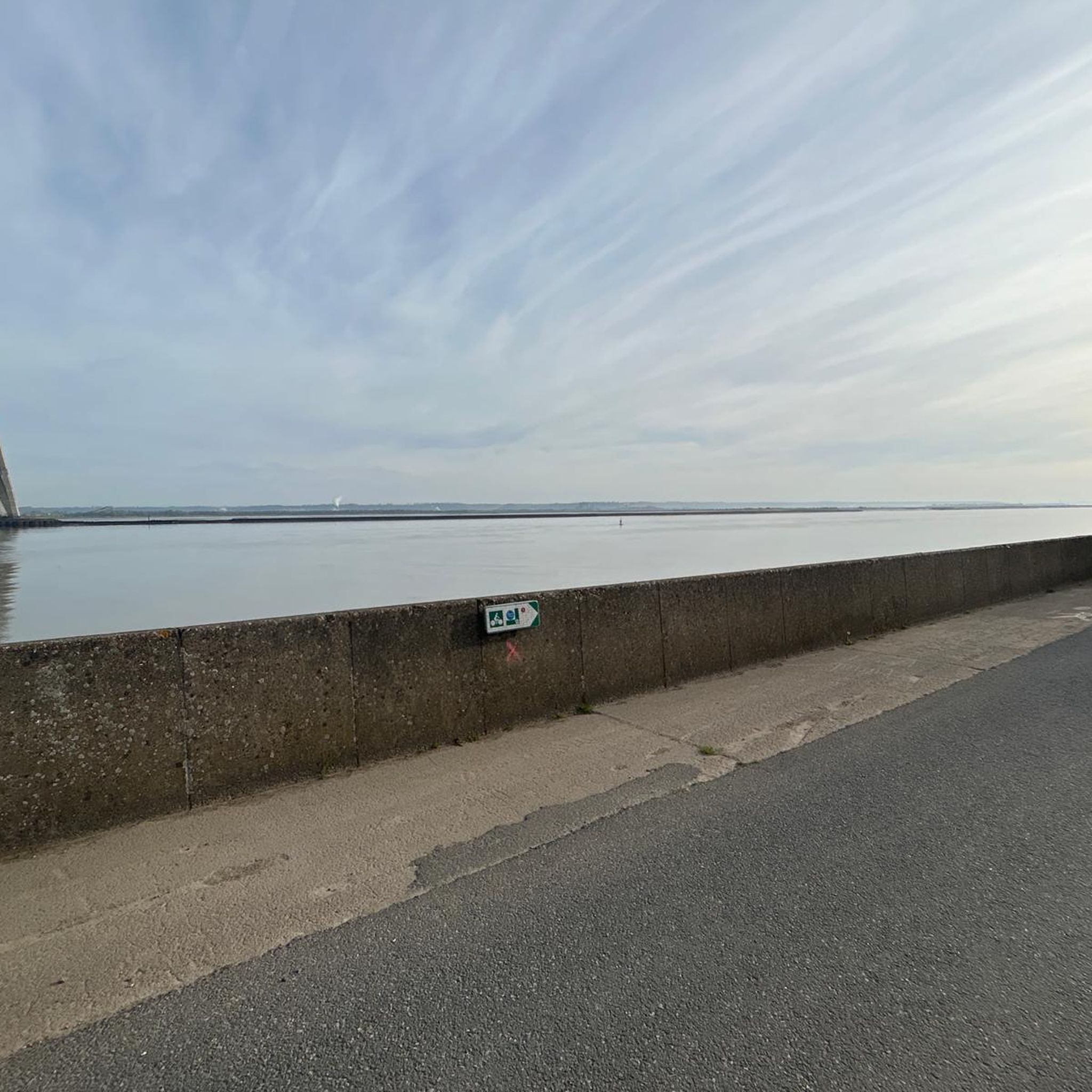
Hikes from bus stations around Voerde (Niederrhein)
Other adventures around Kreis Wesel


Tips from the Community


Interesting to walk through the forest with all the bunker ruins of the MUNA. But also a bit creepy at times. For me, there could be a few more information signs scattered in the forest, but otherwise, it's just a piece of sad history in an otherwise very beautiful forest.
0
0

The pond is located directly on the Philosophenweg.
0
0

Beautiful fen in the middle of the forest.
1
0


I wouldn't have thought such areas existed here! Of course, they're only beautiful for cycling from a distance.
1
0

Spacious lawn. You'll need to bring your own grill and everything else. Two plastic toilets are also available...
0
0

Beautiful lake, perfect for a short evening walk, not much going on
2
0
Frequently Asked Questions
How many bus station hiking trails are available in Kreis Wesel?
Komoot offers over 2,200 hiking routes in Kreis Wesel that are accessible via bus stations. These include a wide variety of trails, from easy strolls to more challenging treks, ensuring there's something for every hiker.
What kind of landscapes can I expect on bus-accessible hikes in Kreis Wesel?
Kreis Wesel boasts diverse landscapes, shaped by the confluence of the Rhine and Lippe rivers. You'll find idyllic old Rhine arms, broad meadows, and extensive forests like the Diersfordter Wald. Many routes also traverse heathlands and offer views of various lakes such as the Auesee or the Baerler Busch Forest Lake.
Are there any easy, family-friendly hikes accessible by bus in Kreis Wesel?
Yes, Kreis Wesel has many easy routes perfect for families. For example, the Loosenberge Juniper Heath loop from Drevenack is an easy trail that takes you through scenic heathlands. Another gentle option is the View of Lohheidesee – Lake Lohheide loop from Vierbaum, offering pleasant lakeside views.
What do other hikers enjoy most about bus-accessible trails in Kreis Wesel?
The komoot community rates hiking in Kreis Wesel highly, with an average score of 4.5 stars from over 28,000 ratings. Reviewers often praise the region's diverse natural beauty, the well-maintained paths, and the tranquility of areas like the Diersfordter Wald and the scenic river landscapes.
Are there any circular hiking routes that start and end at a bus station?
Many of the bus-accessible routes in Kreis Wesel are circular, allowing you to return to your starting point without needing additional transport. Examples include the Baerler Busch Forest Lake – Baerler Busch loop and the Auesee – Panoramic view of the Auesee loop, both offering convenient circular experiences.
Which bus-accessible trails are good for birdwatching or nature observation?
The Bislicher Insel Nature Reserve is an excellent spot for birdwatching, especially in winter when thousands of birds, including white storks and arctic wild geese, gather. While not a specific route listed here, trails leading to or around this reserve are highly recommended for nature lovers. The Stag Beetle Route also offers unique wildlife observation opportunities.
When is the best time of year to go hiking from bus stations in Kreis Wesel?
The best seasons for hiking in Kreis Wesel are spring and autumn. In spring, meadows bloom with vibrant colors, and in autumn, the leaves display an impressive palette of red and gold. Temperatures are pleasantly mild during these times, making for ideal hiking conditions.
Are there any challenging bus-accessible hikes in Kreis Wesel?
While many routes are easy to moderate, some trails offer a more challenging experience. The region's diverse terrain, including parts of the Hohe Mark-Westmünsterland Nature Park, provides options for longer distances and varied elevation, though significant climbs are less common in this flat region. Look for routes marked as 'moderate' or 'difficult' on komoot for more demanding options.
Can I find trails with historical or cultural points of interest near bus stops?
Yes, Kreis Wesel has a rich history. The Sonsbecker Höhen offer circular walks with informative boards detailing the Ice Age history. Additionally, the region features historical routes like the Roman Route from Wesel to Hünxe, and picturesque villages with traditional half-timbered houses along the Rhine, such as Bislich and Büderich.
Are there any specific natural highlights or landmarks I can visit on bus-accessible hikes?
Absolutely. You can explore the Bislicher Insel Nature Reserve, known for its birdlife and floodplains. The Diersfordter Wald is home to one of North Rhine-Westphalia's largest stag beetle populations. You might also encounter scenic lakes like Xanten South Lake or Rotbach Lake, which are often part of hiking routes.
Where can I find more information about nature and recreation in Kreis Wesel?
For additional details on nature and recreational activities in the region, you can visit the official tourism website for Wesel: wesel-tourismus.de. This resource provides further context on the area's natural beauty and outdoor opportunities.
Most popular routes around Kreis Wesel
Most popular attractions around Kreis Wesel

Get inspired with the komoot mobile app


Didn’t find what you were looking for?
Check out more Hikes throughout Kreis Wesel below and find the perfect route in your destination.
Explore more
Browse the best Hikes in other regions.
