The 13 Most Amazing Peaks around Angoustrine-Villeneuve-Des-Escaldes
Best mountain peaks around Angoustrine-Villeneuve-Des-Escaldes are situated in the Pyrénées-Orientales department of France. This region features prominent peaks such as Pic Carlit, Pic dels Moros, and Mount Llaret. The area offers diverse natural landscapes, from alpine meadows to rugged terrain, providing opportunities for outdoor exploration. These mountain peaks are known for their panoramic views and varied hiking experiences.
Best mountain peaks around Angoustrine-Villeneuve-Des-Escaldes
- The most popular mountain peaks is Summit of Pic Carlit, a summit that culminates at 2,921…
Last updated: May 11, 2026
Summit of Pic Carlit
Highlight • Summit
Translated by Google •
Tip by

Mount Llaret
Highlight • Summit
Translated by Google •
Tip by

Sign up now to discover places like this
Get recommendations on the best single tracks, peaks, & plenty of other exciting outdoor places.
Sign up for free
Peak of the Moors
Highlight • Summit
Translated by Google •
Tip by

Cabane de Rouzet
Highlight • Mountain Hut
In 1983 …
Translated by Google •
Tip by

Portella de la Grava
Highlight • Mountain Pass
Translated by Google •
Tip by

Sign up for free to discover even more peaks around Angoustrine-Villeneuve-Des-Escaldes.
Sign up for free
Already have an account?
Start today with a free account
Your next adventure awaits.
Login or Signup
Popular around Angoustrine-Villeneuve-Des-Escaldes

Haute Route Pyrénéenne – Pyrenees Crossing
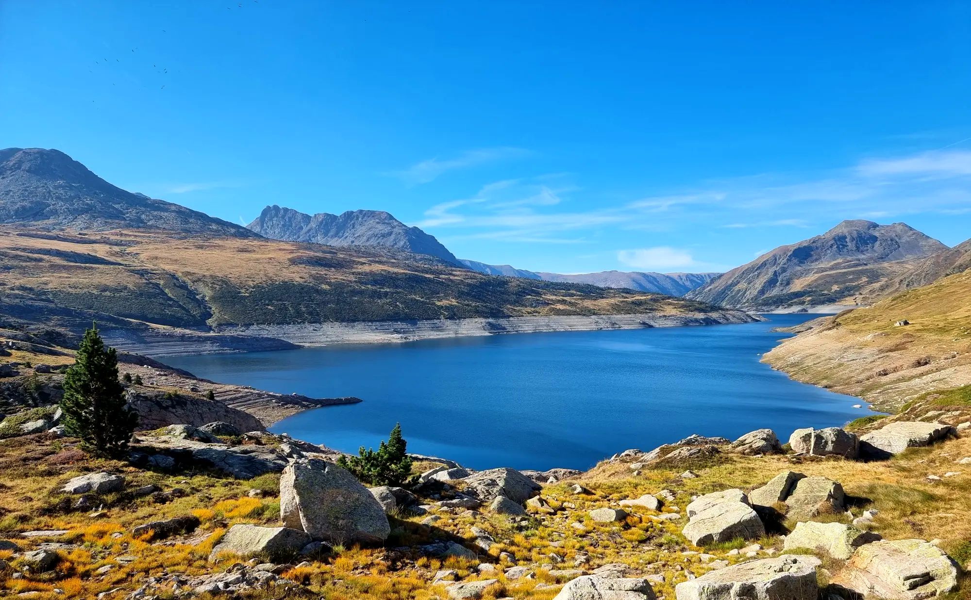
Tour des Pérics – Carlit and Grand Péric variants
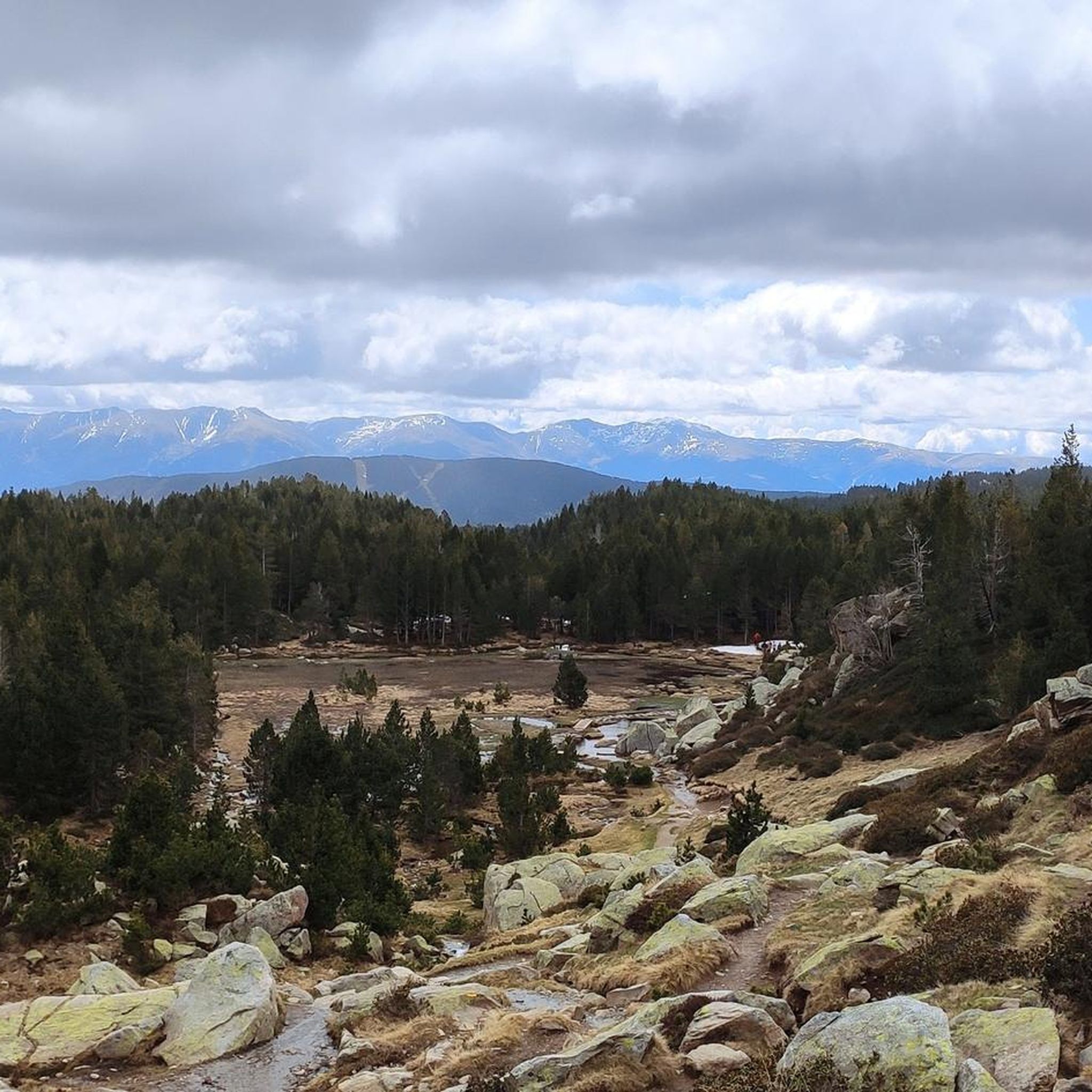
Hiking around Angoustrine-Villeneuve-Des-Escaldes
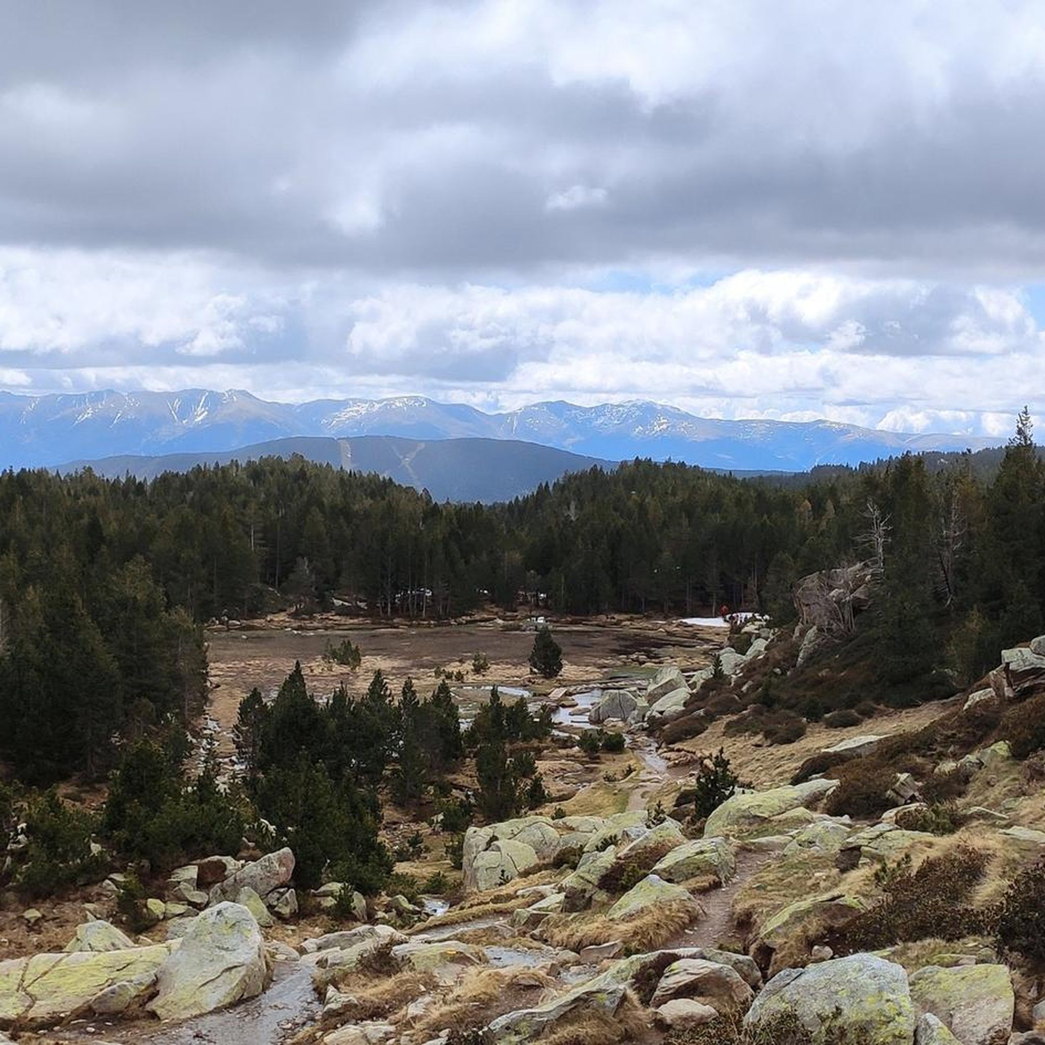
Cycling around Angoustrine-Villeneuve-Des-Escaldes
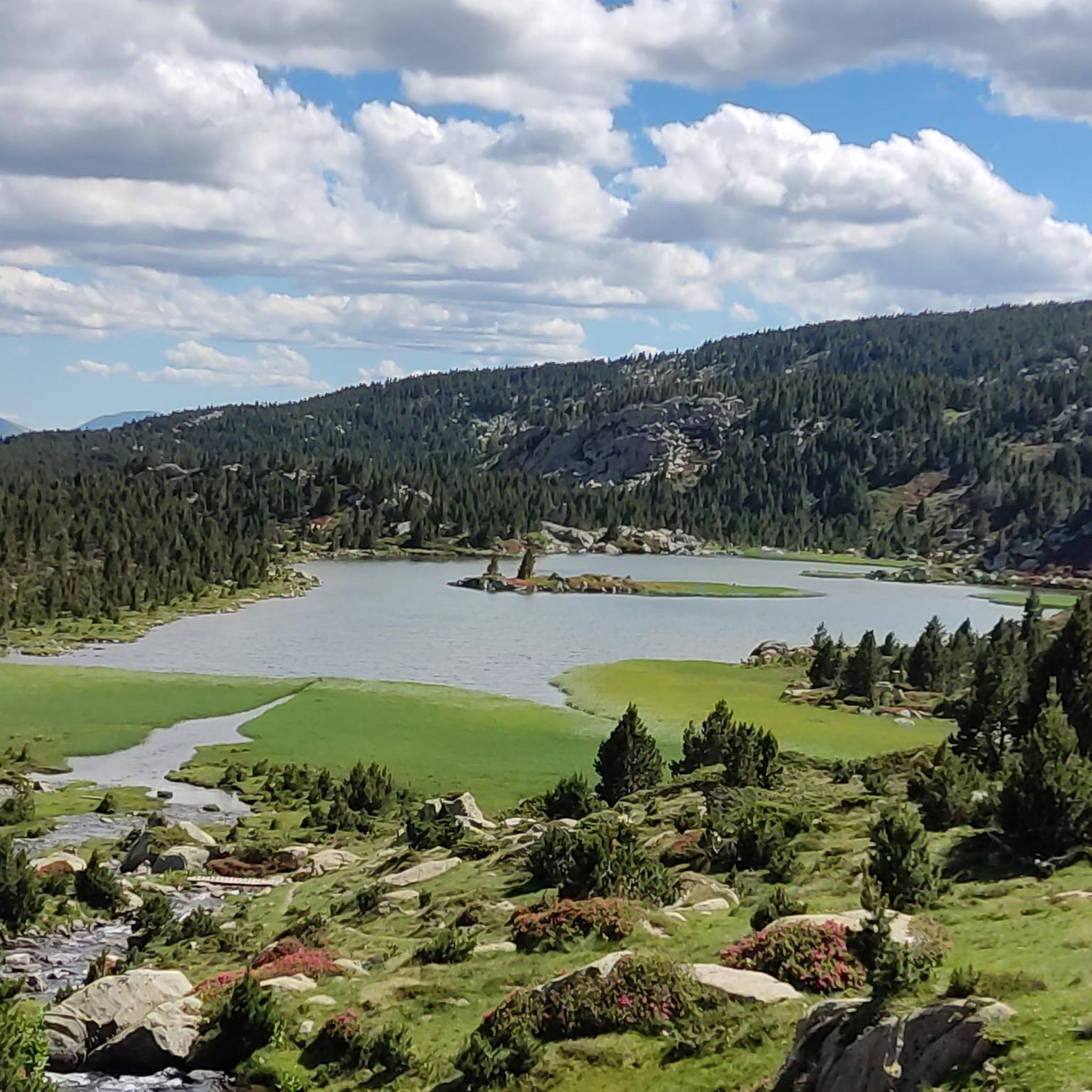
Running Trails around Angoustrine-Villeneuve-Des-Escaldes
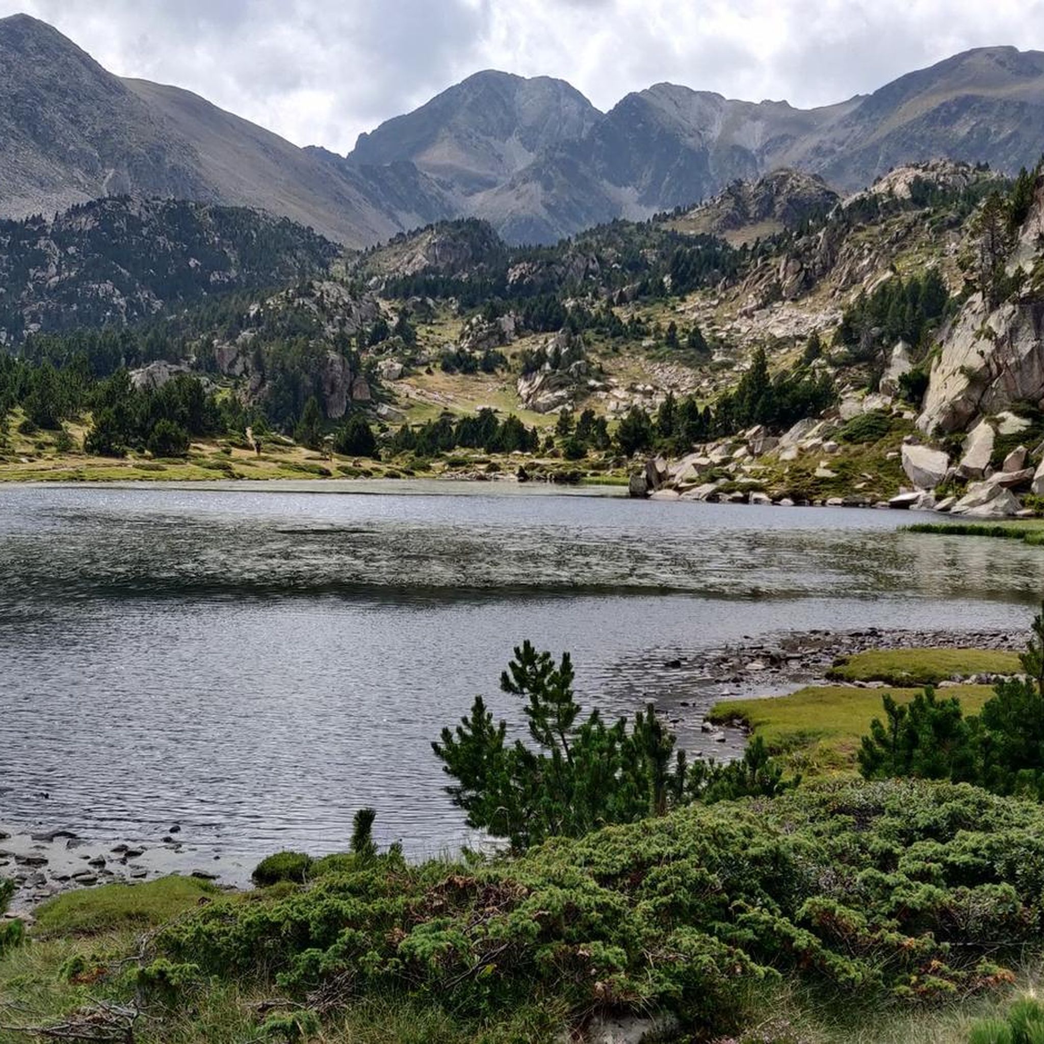
MTB Trails around Angoustrine-Villeneuve-Des-Escaldes
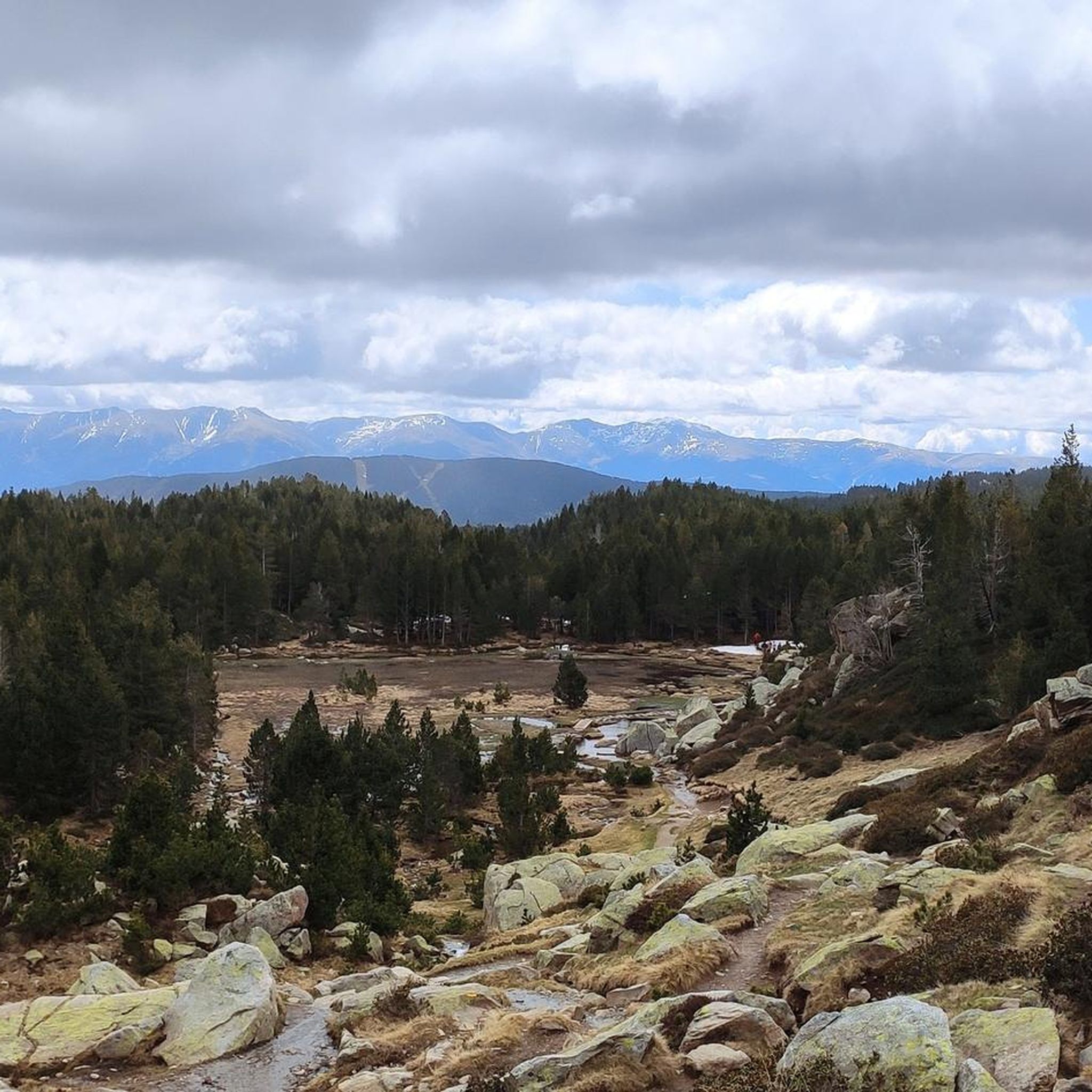
Road Cycling Routes around Angoustrine-Villeneuve-Des-Escaldes

Gravel biking around Angoustrine-Villeneuve-Des-Escaldes
Mountain Hikes around Angoustrine-Villeneuve-Des-Escaldes
Other adventures around Angoustrine-Villeneuve-Des-Escaldes


Tips from the Community


View of the Carlit, the Bouillouses, the Péric, the Sierra de Cadi, the Cerdagne valley .... Wonderful.
0
0

Carlit Peak is part of the Capcir granite massif, which is dotted with 27 lakes and small lakes in the Occitanie region, northwest of Font-Romeu. Its summit is located at 2921 meters, allowing you to observe an immense panorama (from Canigó to the Central Pyrenees).
1
2

The Portella de la Grava is a pass located at an altitude of 2,426 meters. It offers breathtaking views and is an iconic passage for mountain enthusiasts. Through this pass you have scenic access between the northern and southern slopes of the Pyrenees. Its steep path and exceptional panoramas make it a popular place for adventurers in search of natural discoveries.
2
0

Culminating at 2,921 meters, the peak of Carlit reigns within an exceptional natural environment. It offers wide panoramas over the valley and its countless lakes.
2
0
The Pic dels Moros culminates at 2,138 meters on the heights of Font-Romeu. Easy to access, it offers a remarkable panorama of the Pyrenees chain.
0
0


The Pic dels Moros, at an altitude of 2,138 meters west of Font-Romeu, offers magnificent views of Cerdanya.
1
0
Frequently Asked Questions
What are the most challenging mountain peaks to hike around Angoustrine-Villeneuve-des-Escaldes?
For experienced hikers, the ascent to the Summit of Pic Carlit is considered challenging, especially the final 150 meters which may involve technical sections and scrambling. It culminates at 2,921 meters and offers extensive panoramas.
Are there any accessible mountain peaks with panoramic views for a moderate hike?
Yes, Peak of the Moors (Pic dels Moros) is known for its accessibility and offers magnificent 360-degree views of the Pyrenees chain and the Cerdagne and Capcir summits. It's considered an easy to moderate hike.
Which mountain peaks offer views of Lake Aude?
Mount Llaret, at an altitude of 2,376 meters, dominates Lake Aude and provides excellent views of the lake, which is the source of the river. It's quite accessible from Les Angles and its hiking trails.
What is the best time of year to hike the mountain peaks in this region?
The ideal hiking season for the mountain peaks around Angoustrine-Villeneuve-des-Escaldes is generally from late May to October, depending on snow conditions. During this period, trails are typically clear, and the weather is more favorable for ascents.
Are there any circular walks or routes that pass by multiple natural features?
The ascent to Pic Carlit often begins from Lac des Bouillouses and includes the 'Boucle des Étangs du Carlit,' a circuit that winds past a series of crystalline lakes like Estany Negre and Estany de la Comassa. This 'tour of the 12 lakes' offers diverse landscapes from alpine meadows to rugged terrain.
What kind of wildlife can I expect to see while hiking in the mountains here?
The area around peaks like Pic Carlit is part of the Natura 2000 network, preserving rich biodiversity. You might spot alpine flora and fauna such as marmots, izards, mouflon, ptarmigan, griffin vultures, and golden eagles. Around Mount Llaret, you may also encounter herds of cows and almost wild horses.
What other outdoor activities can I do near the mountain peaks?
Beyond hiking, the region offers various outdoor activities. You can explore gravel biking routes, enjoy road cycling, or tackle MTB trails. Some areas, like Pic dels Moros, are also popular paragliding spots in good weather.
Are there any mountain passes with notable views in the area?
Yes, the Portella de la Grava is a mountain pass located at 2,426 meters. It offers breathtaking views and serves as an iconic passage between the northern and southern slopes of the Pyrenees, popular for its scenic access and exceptional panoramas.
What do visitors particularly enjoy about the mountain peaks around Angoustrine-Villeneuve-des-Escaldes?
Visitors frequently highlight the exceptional panoramic views from the summits, especially the 360-degree vistas from Pic Carlit and Pic dels Moros. The diverse natural landscapes, including numerous glacial lakes and peaceful forest trails, are also highly appreciated by the komoot community.
Are there any huts or shelters available for hikers in the mountains?
Yes, the Cabane de Rouzet is a small hut located near the Etang de Lanoux. It can be accessible when not in use by shepherds, offering a potential resting spot for those exploring the higher altitudes.
What should I pack for a summer mountain hike in this region?
For summer mountain hiking, it's advisable to pack layers of clothing suitable for varying temperatures, as conditions can change rapidly at altitude. Essential items include sturdy hiking boots, sun protection, sufficient water, snacks, a map or GPS, and rain gear, especially for longer or higher-altitude treks.
Is public transport available to access hiking starting points for the mountain peaks?
While direct public transport to all trailheads might be limited, access to popular starting points like Lac des Bouillouses (often used for Pic Carlit) can be restricted in summer, frequently requiring shuttle services. It's recommended to check local transport options and restrictions before planning your trip.
Most popular routes around Angoustrine-Villeneuve-Des-Escaldes
Most popular attractions around Angoustrine-Villeneuve-Des-Escaldes

Get inspired with the komoot mobile app


Explore more
See even more amazing summits around Angoustrine-Villeneuve-Des-Escaldes with these guides:
