The best walks and hikes around Angoustrine-Villeneuve-Des-Escaldes
4.6
(582)
6,372
hikers
39
hikes
Hiking around Angoustrine-Villeneuve-Des-Escaldes offers access to the diverse landscapes of the Cerdagne region within the Pyrénées-Orientales department. The area is characterized by high plains, impressive granitic formations, and numerous lakes, all set within the Pyrenean mountain range. Trails often lead through valleys, past traditional shepherd's huts, and towards significant peaks, providing varied terrain for outdoor exploration.
Best hiking trails around Angoustrine-Villeneuve-Des-Escaldes
- The most popular hiking route is Pic Carlit – hike starting from the parking lot of lac des Bouillouses…
Last updated: May 26, 2026
4.8
(157)
2,088
hikers
Hard hike. Very good fitness required. Sure-footedness, sturdy shoes and alpine experience required.
4.6
(63)
509
hikers
7.19km
02:08
120m
120m
Hard hike. Good fitness required. Sure-footedness, sturdy shoes and alpine experience required.

Sign up for free
4.8
(33)
307
hikers
11.5km
03:54
340m
340m
Moderate hike. Good fitness required. Mostly accessible paths. Sure-footedness required.
5.0
(3)
72
hikers
23.1km
09:46
1,100m
1,100m
Hard hike. Very good fitness required. Sure-footedness, sturdy shoes and alpine experience required.
4.7
(13)
96
hikers
Hard hike. Very good fitness required. Mostly accessible paths. Sure-footedness required.
Get access to more routes and recommendations from other explorers.
Sign up for free
Already have an account?
Our route recommendations are based on thousands of hikes, rides, and runs completed by other people on komoot.
Start today with a free account
Your next adventure awaits.
Login or Signup
Popular around Angoustrine-Villeneuve-Des-Escaldes

Haute Route Pyrénéenne – Pyrenees Crossing
Tour des Pérics – Carlit and Grand Péric variants
Cycling around Angoustrine-Villeneuve-Des-Escaldes
Running Trails around Angoustrine-Villeneuve-Des-Escaldes
MTB Trails around Angoustrine-Villeneuve-Des-Escaldes
Road Cycling Routes around Angoustrine-Villeneuve-Des-Escaldes

Gravel biking around Angoustrine-Villeneuve-Des-Escaldes
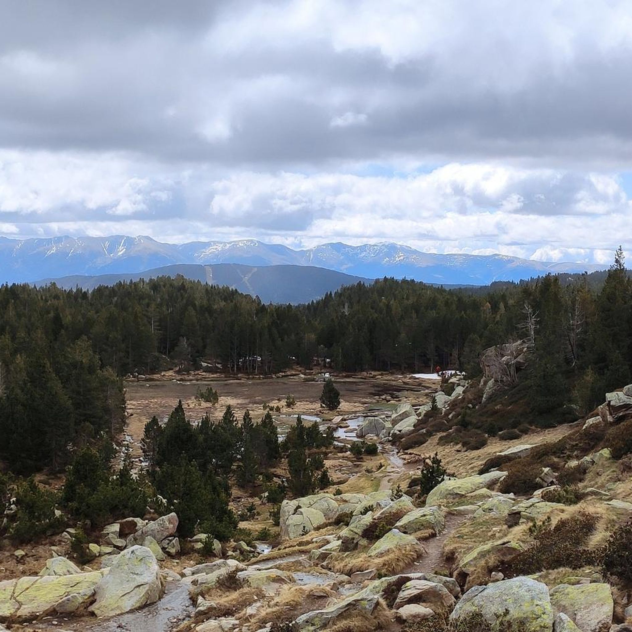
Mountain Hikes around Angoustrine-Villeneuve-Des-Escaldes
Other adventures around Angoustrine-Villeneuve-Des-Escaldes


Tips from the Community


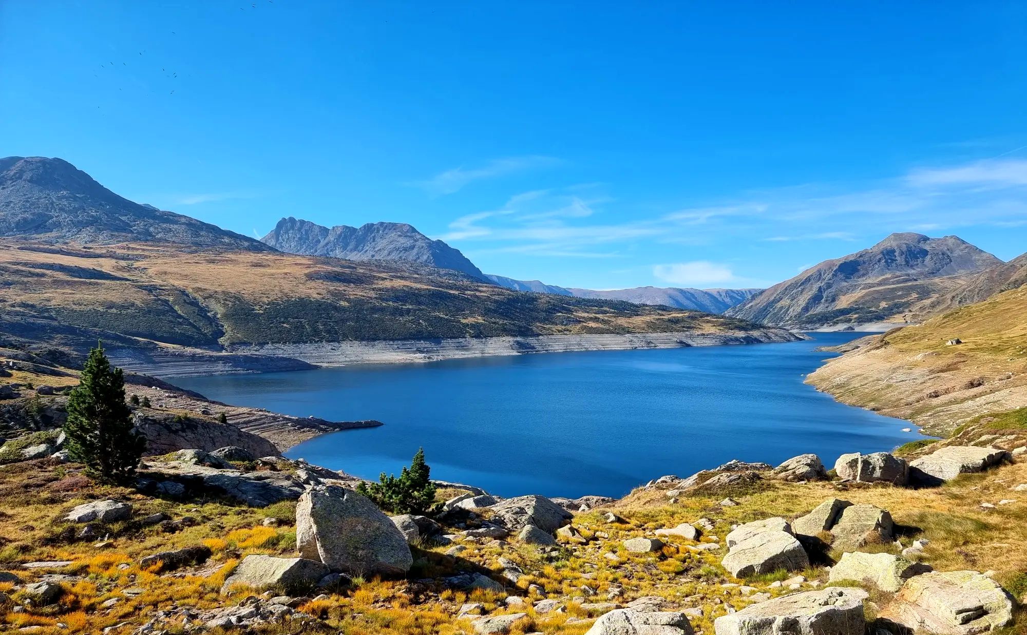
A superb lake reflecting the neighboring peaks. The morning light amplifies this mirror effect.
0
0


Snowshoeing itinerary in the Bulloses area https://www.youtube.com/watch?v=esdackshECU
0
0


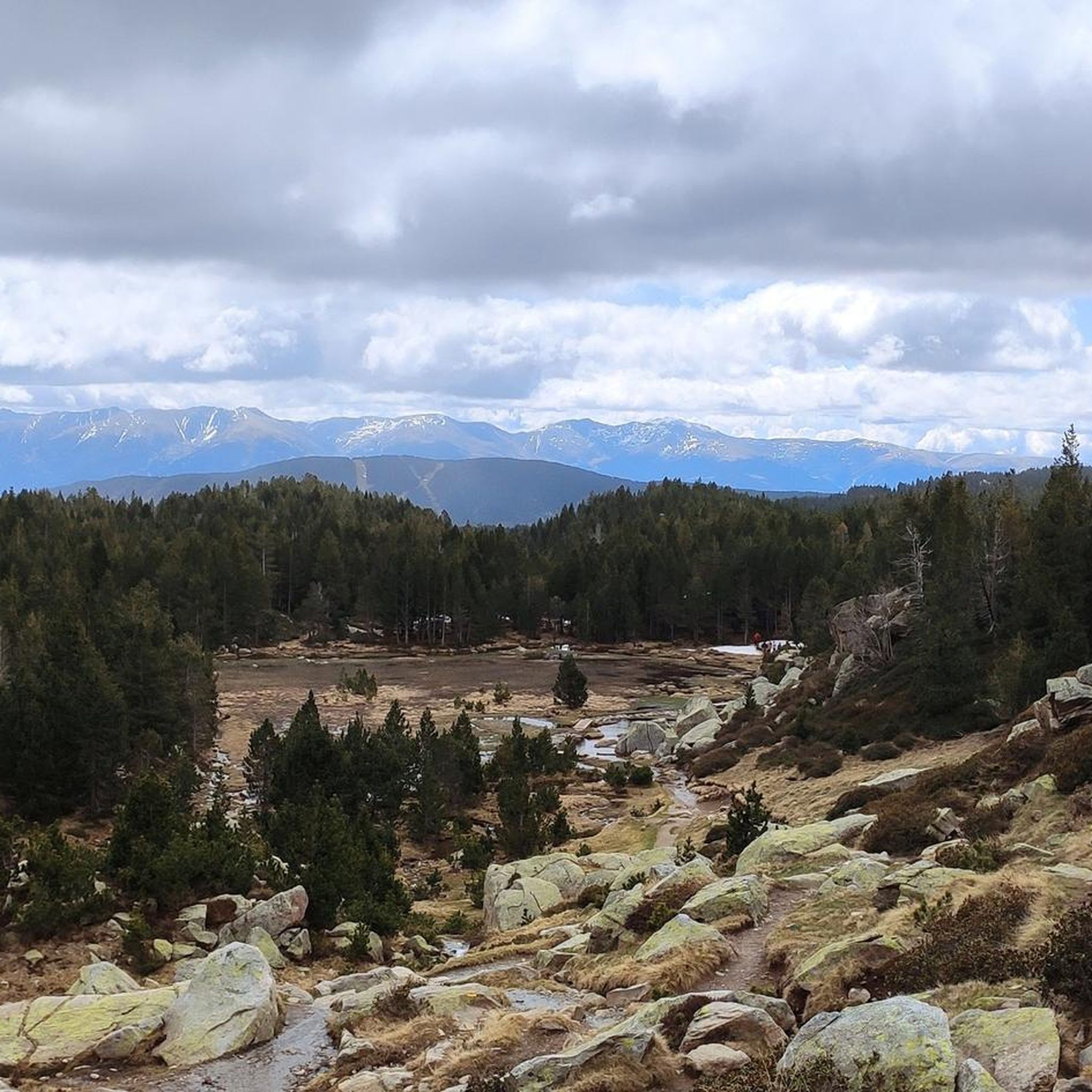
Nestled in a glacial basin, this small lake often lies dry in summer, revealing an impressive mineral setting, surrounded by meadows and imposing peaks. The trails leading to the lake offer magnificent views of the surrounding mountains and allow you to enjoy the tranquility of this timeless place.
1
0
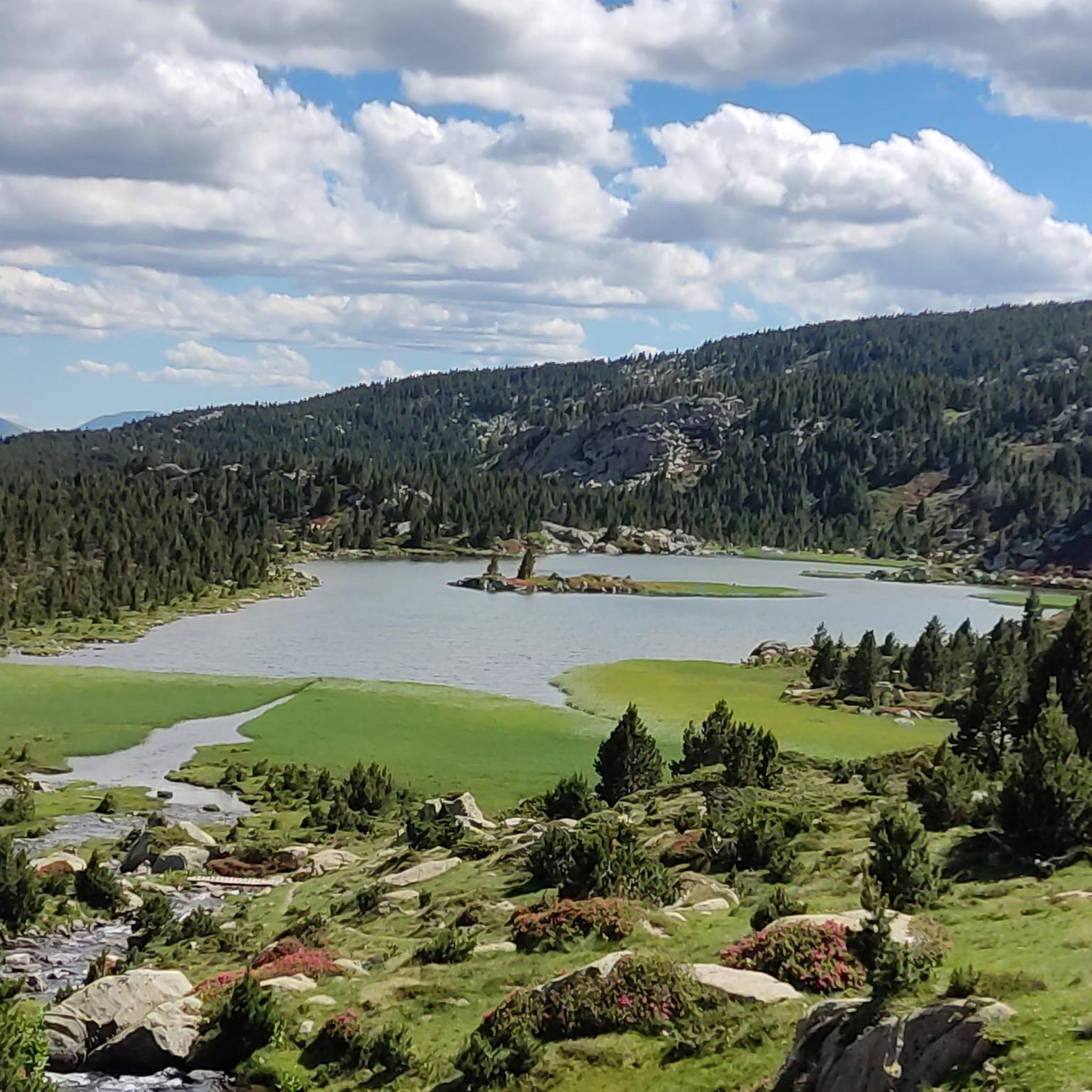
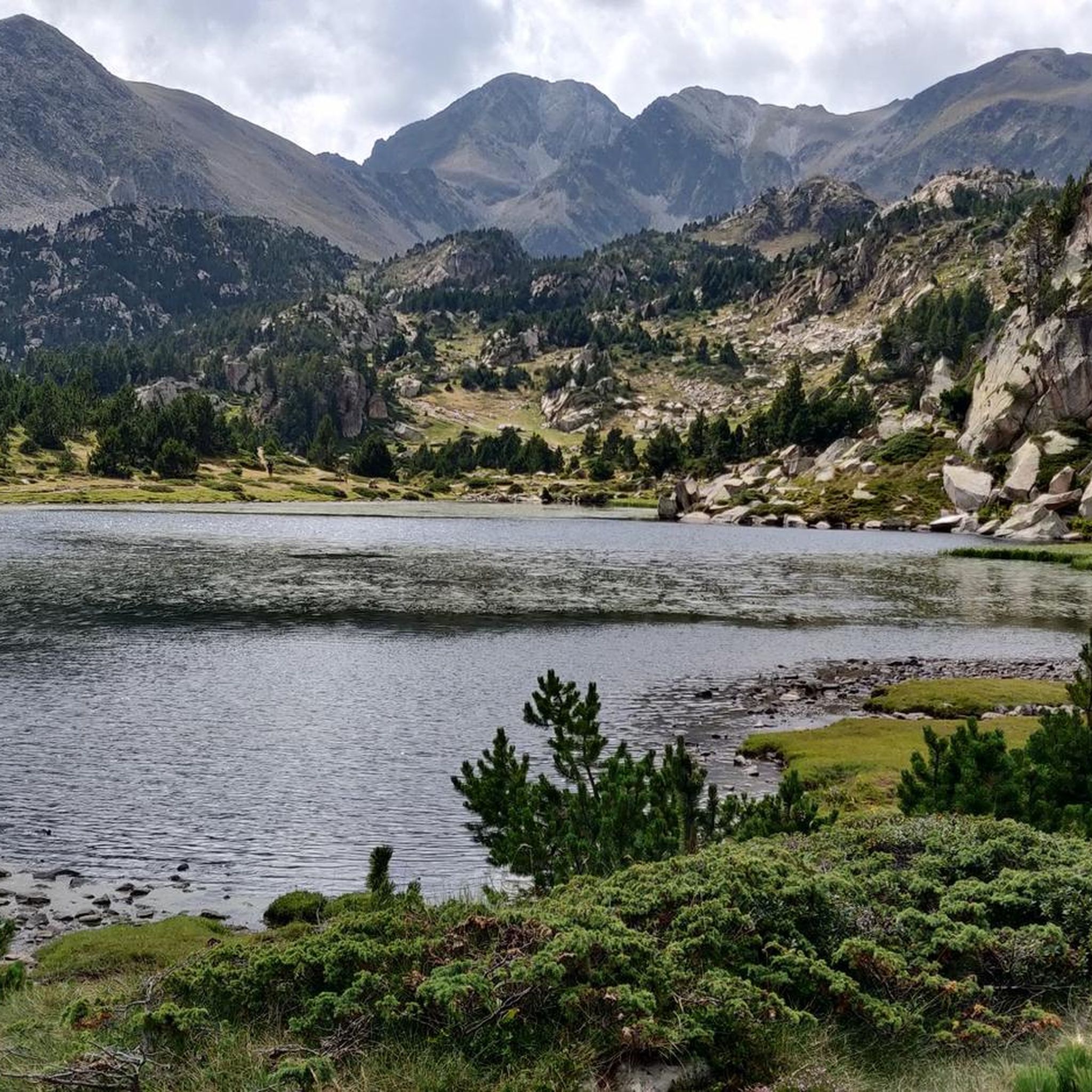
This small high-altitude lake, accessible by hiking trails, offers a preserved natural setting, ideal for a contemplative break. The calm, crystal-clear waters reflect the surrounding peaks.
1
0
Frequently Asked Questions
What is the overall difficulty level of hiking trails in Angoustrine-Villeneuve-Des-Escaldes?
The hiking trails in Angoustrine-Villeneuve-Des-Escaldes offer a wide range of difficulties. You'll find everything from gentle valley walks to challenging mountain excursions. The region features high plains and impressive granitic formations, with routes like the ascent to Pic Carlit being considered difficult, while many others are moderate or easy.
Are there any easy or family-friendly hiking options available?
Yes, Angoustrine-Villeneuve-Des-Escaldes offers several easy and family-friendly hiking options. Many trails are suitable for various ability levels, including accessible valley walks. The Esquits Ponds Loop, for example, is a moderate trail that leads through a beautiful landscape dotted with ponds, perfect for a shorter outing.
What kind of terrain can I expect on hikes in this region?
Hikers in Angoustrine-Villeneuve-Des-Escaldes can expect diverse terrain, ranging from high plains in the Cerdagne region to impressive granitic formations around Lac des Bouillouses. Trails often traverse picturesque valleys, pass traditional shepherd's huts, and ascend towards significant Pyrenean peaks, offering varied landscapes and surfaces.
What natural attractions or landmarks can I see while hiking in Angoustrine-Villeneuve-Des-Escaldes?
The region is rich in natural attractions. You can hike to the Summit of Pic Carlit, the highest peak in the Pyrénées-Orientales, or explore the stunning Lac des Bouillouses and its surrounding ponds. Other notable features include the picturesque Vallée d'Angoustrine, with its charming village views and the Saint-Martin chapel, and the natural sulfur springs in nearby Mérens-les-Vals.
Are there many lakes to discover on the hiking trails?
Absolutely. The region is renowned for its numerous lakes, especially around the Carlit massif. Beyond the prominent Lac des Bouillouses, you can discover specific named lakes like Lake Aude, Lake Vallell, and the Esquits Ponds. Many hiking routes, such as the Lake Aude – Lake Bouillousses loop, are designed to showcase these beautiful aquatic landscapes.
Where can I find panoramic views of the Pyrenees?
For expansive panoramic views, the ascent to Pic Carlit is highly recommended. As the highest peak in the Pyrénées-Orientales, it offers breathtaking vistas across the valley and its many lakes. Other viewpoints throughout the region provide impressive perspectives of the lower Cerdagne and the surrounding Pyrenean landscape.
Are there good options for circular hikes in the area?
Yes, Angoustrine-Villeneuve-Des-Escaldes offers several excellent circular hiking routes. Popular options include the Lake Aude – Lake Bouillousses loop, which explores two significant lakes, and the Esquits Ponds Loop. The Vallée d'Angoustrine also features a notable loop trail along the Angoustrine river to the Saint-Martin chapel.
What are the parking options for trailheads in Angoustrine-Villeneuve-Des-Escaldes?
Many popular hiking routes, especially those leading to Pic Carlit and Lac des Bouillouses, often start from the Lac des Bouillouses parking lot. For other trailheads, parking availability can vary, so it's advisable to check specific route details on komoot for information on designated parking areas near your chosen starting point.
Is public transport available to access hiking trails?
While specific public transport routes directly to all trailheads might be limited, the region does offer some options. During peak season, a shuttle service often operates to access the Lac des Bouillouses area, which is a major starting point for many hikes. For detailed information on public transport, it's best to consult local tourist information or transport providers.
What is the best time of year to go hiking in Angoustrine-Villeneuve-Des-Escaldes?
The best time for hiking in Angoustrine-Villeneuve-Des-Escaldes generally depends on the desired experience. Summer and early autumn offer pleasant weather for most trails, including higher elevations. Spring brings blooming flora, while late autumn can provide stunning fall colors. Winter hiking is possible but requires appropriate gear and experience due to snow and colder conditions, especially at higher altitudes like Pic Carlit.
What do other hikers enjoy the most about hiking in Angoustrine-Villeneuve-Des-Escaldes?
The area is highly rated by the komoot community, with an average score of 4.6 stars from over 500 reviews. Reviewers often praise the stunning Pyrenean landscapes, the abundance of beautiful lakes, and the diverse network of well-maintained trails that cater to all levels. The panoramic views from peaks like Pic Carlit are frequently highlighted as a major draw.
Are dogs allowed on the hiking trails in the Pyrénées Catalanes Natural Park?
Angoustrine-Villeneuve-Des-Escaldes is situated within the Pyrénées Catalanes Natural Park. While dogs are generally allowed on many trails, specific regulations may apply in certain protected areas, especially concerning wildlife. It's always recommended to keep dogs on a leash and to check local signage or the park's official guidelines for any restrictions before heading out.
Most popular routes around Angoustrine-Villeneuve-Des-Escaldes
Most popular attractions around Angoustrine-Villeneuve-Des-Escaldes

Get inspired with the komoot mobile app


Explore more
Browse the best Hikes in other regions.
