The best MTB trails around Angoustrine-Villeneuve-Des-Escaldes
4.5
(1064)
10,583
riders
419
rides
Mountain bike trails around Angoustrine-Villeneuve-Des-Escaldes traverse a diverse Pyrenean landscape, characterized by significant elevation changes from 1,235 meters to 2,921 meters. The region features the Carlit Massif, home to Carlit Peak, and numerous high-altitude lakes such as Lake Bouillouses and Lac de Lanoux. Valleys like the Vallée d'Angoustrine connect the Cerdagne plain with the higher mountain ranges, offering varied terrain for mountain biking. This area provides a range of routes suitable for different skill levels amidst its rugged natural features.
…Last updated: October 7, 2026
5.0
(1)
44
riders
Moderate mountain bike ride. Good fitness required. Suitable for all skill levels.
5.0
(1)
38
riders
15.6km
01:01
120m
120m
Easy mountain bike ride. Great for any fitness level. Suitable for all skill levels.

4.7
(3)
71
riders
20.0km
01:20
180m
170m
Easy mountain bike ride. Great for any fitness level. Suitable for all skill levels.
4.0
(2)
30
riders
19.6km
01:38
350m
350m
Moderate mountain bike ride. Good fitness required. Advanced riding skills necessary.
5.0
(1)
26
riders
24.7km
02:24
680m
680m
Moderate mountain bike ride. Good fitness required. Suitable for all skill levels.
Get access to more routes and recommendations from other explorers.
Already have an account?
Our route recommendations are based on thousands of hikes, rides, and runs completed by other people on komoot.
Start today with a free account
Your next adventure awaits.
Popular around Angoustrine-Villeneuve-Des-Escaldes

Haute Route Pyrénéenne – Pyrenees Crossing
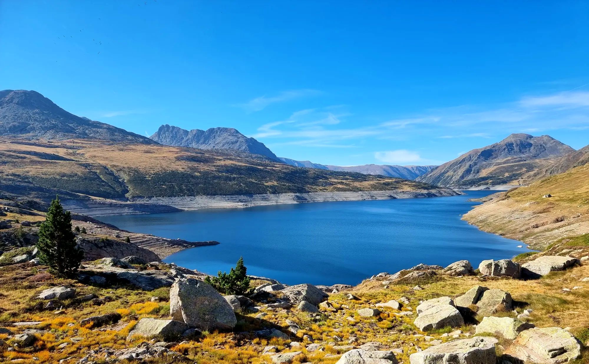
Tour des Pérics – Carlit and Grand Péric variants
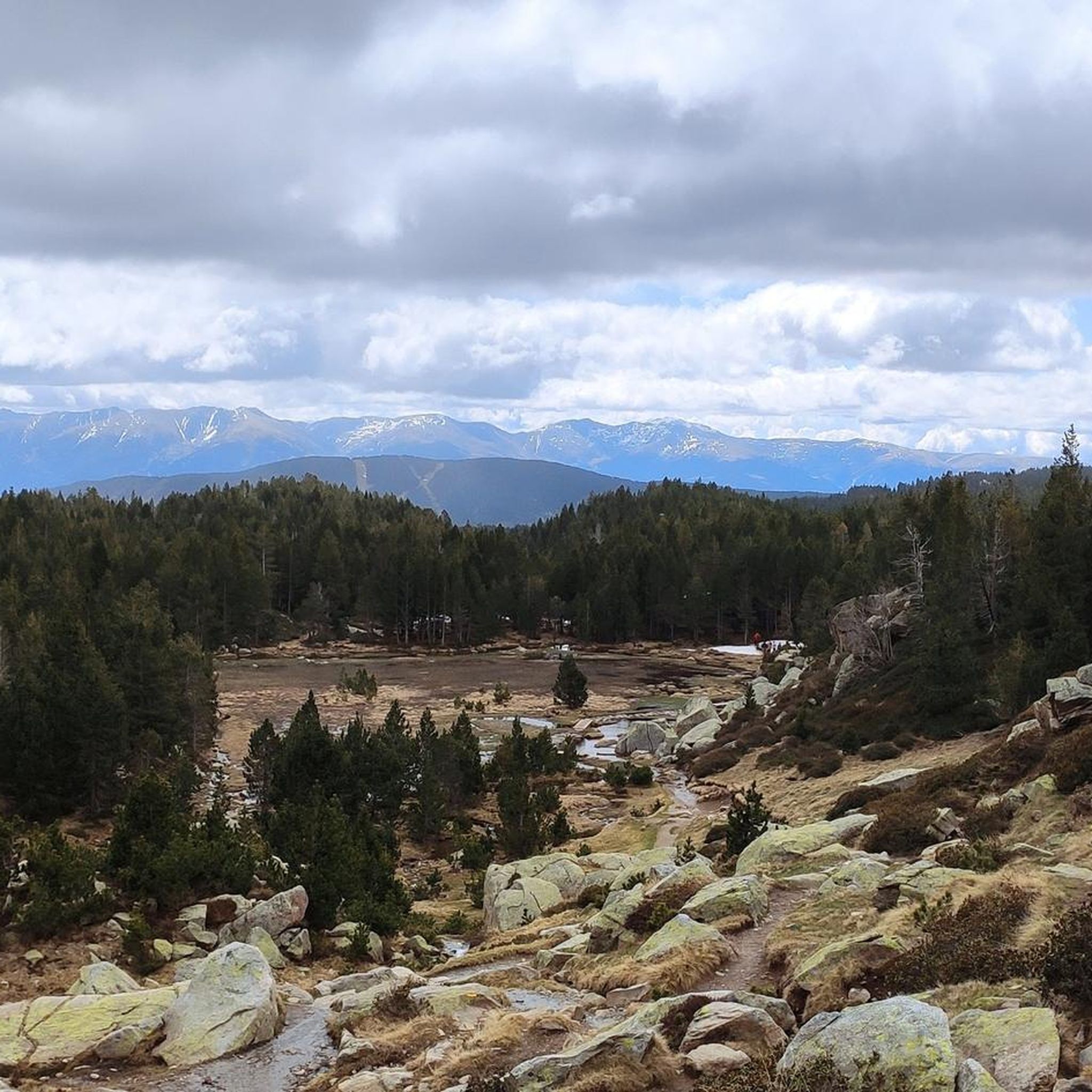
Hiking around Angoustrine-Villeneuve-Des-Escaldes
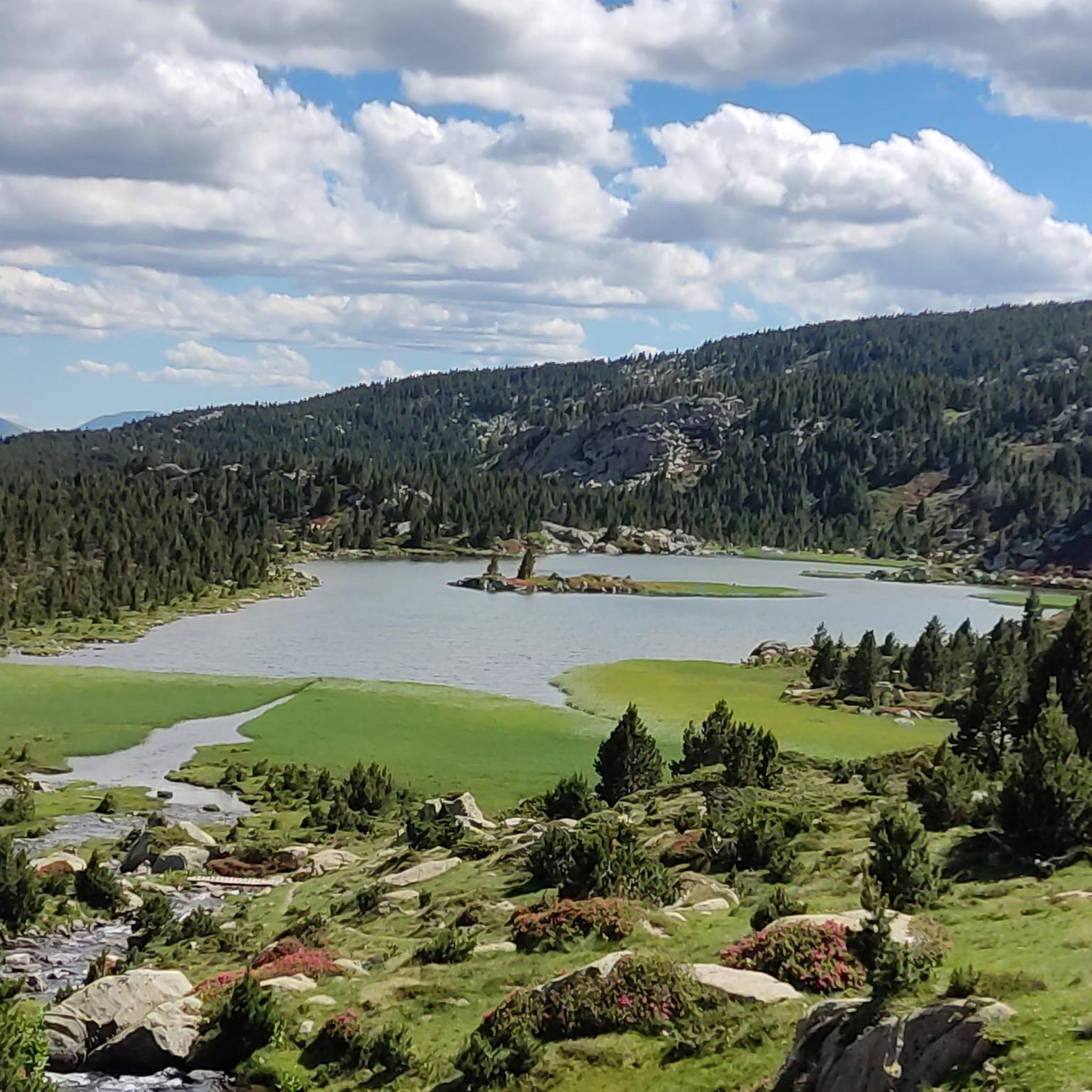
Running Trails around Angoustrine-Villeneuve-Des-Escaldes
Cycling around Angoustrine-Villeneuve-Des-Escaldes
Road Cycling Routes around Angoustrine-Villeneuve-Des-Escaldes

Gravel biking around Angoustrine-Villeneuve-Des-Escaldes
Mountain Hikes around Angoustrine-Villeneuve-Des-Escaldes
Other adventures around Angoustrine-Villeneuve-Des-Escaldes


Tips from the Community

A beautiful Spanish exclave that is worth a visit.
1
0


Very nice area, near the Spanish/French border
2
0


The Nahuja belvedere allows you to take in the entire Cerdanya ditch in one glance. The Carol glacial valley offers itself to the eye from another perspective. We can also observe there, dug into the plateau carrying the Carlit ponds, the glacial valley of Angoustrine. The mountains that surround it have frozen the shape of the tongue of ice that came from it. These reliefs show several generations of moraines, recognizable by the state of alteration of the material of which they are composed. Towards the West, the gaze flees towards the Spanish Cerdanya. The effects of the Têt fault extend to the surroundings of Seu d'Urgell.
1
0


Llívia is a municipality located in the Cerdanya region. Geographically it is located in the French state, as a consequence of the Treaty of the Pyrenees of 1659. Located at 1223 meters above sea level, it is crossed by the Segre River. It is the oldest human group in Cerdanya, dating back to the end of the Bronze Age. It was colonized by the Romans at the end of the 1st century BC and due to its particular geographical location, it is right at the most comfortable pass in the Pyrenees, it has had an uninterrupted human presence throughout history, seeing the Visigoth domination pass, Muslim and again Christian.
2
0
Frequently Asked Questions
How many mountain bike trails are there in Angoustrine-Villeneuve-Des-Escaldes?
There are over 390 mountain bike trails available in Angoustrine-Villeneuve-Des-Escaldes, offering a wide range of options for different skill levels and preferences.
What kind of terrain can I expect on mountain bike trails in this region?
The region offers diverse terrain, from the high plains of the Cerdagne to challenging mountain ascents and descents in the Pyrenees. You'll find a mix of shaded forest paths, undulating tracks, and routes with significant elevation changes, ranging from 1,235 meters to 2,921 meters.
Are there mountain bike trails suitable for beginners in Angoustrine-Villeneuve-Des-Escaldes?
Yes, there are over 80 easy mountain bike routes in the area. An example is the Err – Vedrinyans loop from Llívia, an 11.9-mile path featuring gentle gradients through the Cerdagne plain.
What about challenging mountain bike routes for experienced riders?
For experienced riders, there are over 110 difficult routes. These trails often involve significant elevation gains and technical sections, utilizing the rugged Pyrenean landscape. The region's varied altitude ensures plenty of challenging options.
Are there any mountain bike trails that offer panoramic views?
Absolutely. Many routes in the region provide stunning panoramic views. The area is known for its impressive mountainous terrain, including the **Pic Carlit** and **Col de la Perche**, which offer extensive 360-degree views over the valleys, lakes, and the entire Pyrenees chain.
Can I find mountain bike routes that pass by lakes or other natural water features?
Yes, the region is rich in water bodies. Routes often pass by significant lakes like **Lake Bouillouses** (Lac des Bouillouses), which is surrounded by a series of ponds, and the Angoustrine river. You can also find trails near Viver Lake.
Are there family-friendly mountain bike trails in Angoustrine-Villeneuve-Des-Escaldes?
The region offers several family-friendly paths, particularly among the easier routes. These trails typically feature gentle gradients and less technical terrain, making them suitable for a relaxed ride with the family. The diverse Cerdagne plain provides many such options.
What landmarks or points of interest can I explore along the mountain bike routes?
Beyond natural beauty, routes can incorporate cultural stops. You might pass by the 12th-century Romanesque church in Villeneuve-des-Escaldes, or the Roman baths of Dorres. Natural highlights include the Summit of Pic Carlit and the Mérens sulphur springs.
Are there mountain bike trails that are circular (loop routes)?
Many mountain bike trails in Angoustrine-Villeneuve-Des-Escaldes are designed as loops. For example, the Path from Llívia to Ur – Les Tours de Zézè loop from Llívia is a moderate 20.2-mile circular route, and the Path from Llívia to Ur – Estany de Puigcerdà loop from Llívia offers an easy 12.2-mile option.
What do other mountain bikers enjoy the most about mountain biking in Angoustrine-Villeneuve-Des-Escaldes?
The area is highly rated by the komoot community, with an average score of 4.5 stars from over 995 reviews. Reviewers often praise the diverse Pyrenean landscapes, the variety of terrain suitable for all skill levels, and the numerous high-altitude lakes that provide stunning backdrops for rides.
What is the best time of year for mountain biking in Angoustrine-Villeneuve-Des-Escaldes?
The best time for mountain biking is generally from late spring to early autumn (May to October). During these months, the weather is typically more stable, and the higher mountain passes are free of snow, allowing access to a wider network of trails. Always check local weather conditions before heading out.
Most popular routes around Angoustrine-Villeneuve-Des-Escaldes
Most popular attractions around Angoustrine-Villeneuve-Des-Escaldes

Get inspired with the komoot mobile app


Explore more
Browse the best MTB trails in other regions.
