The best running trails around Leienkaul
4.4
(242)
2,833
runners
124
runs
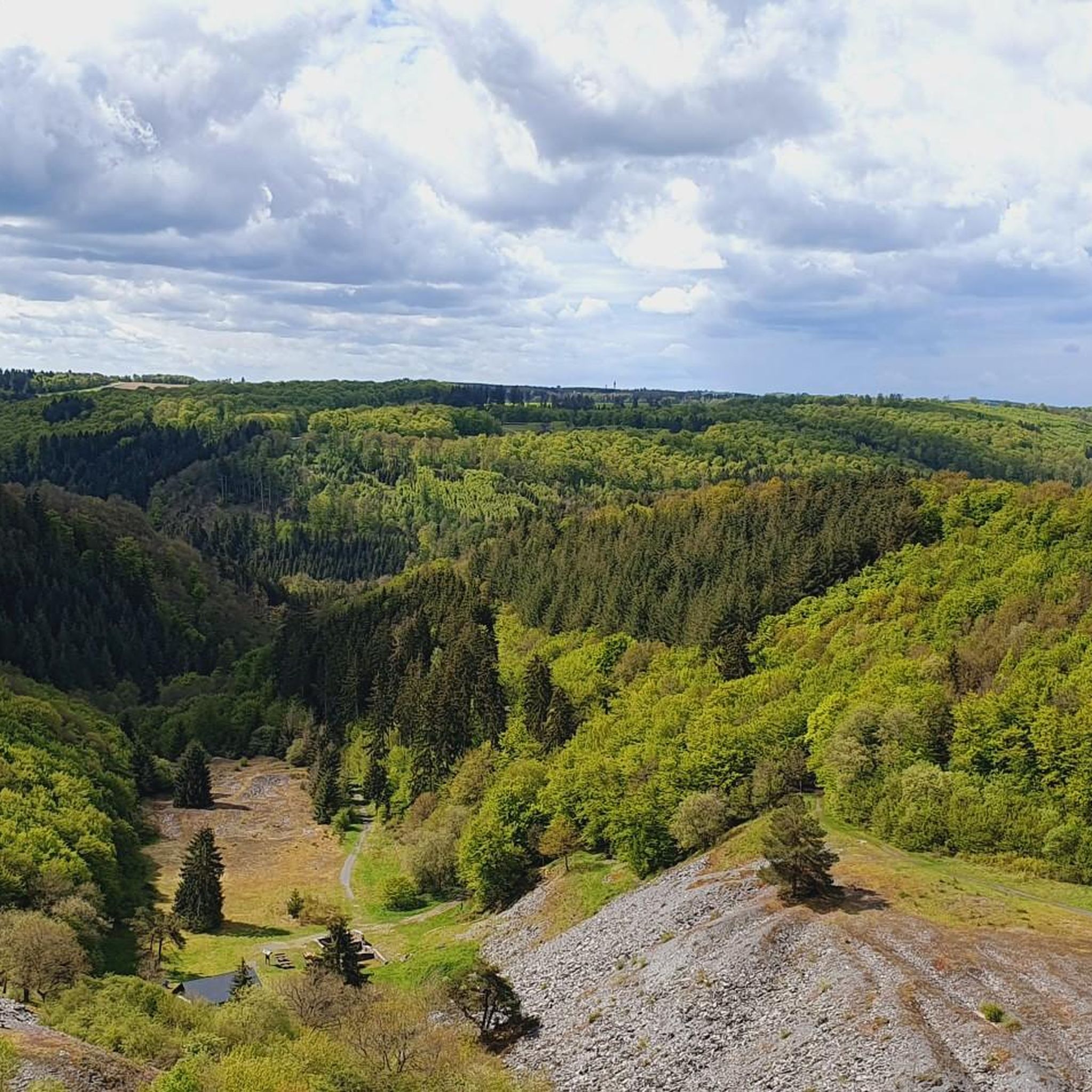
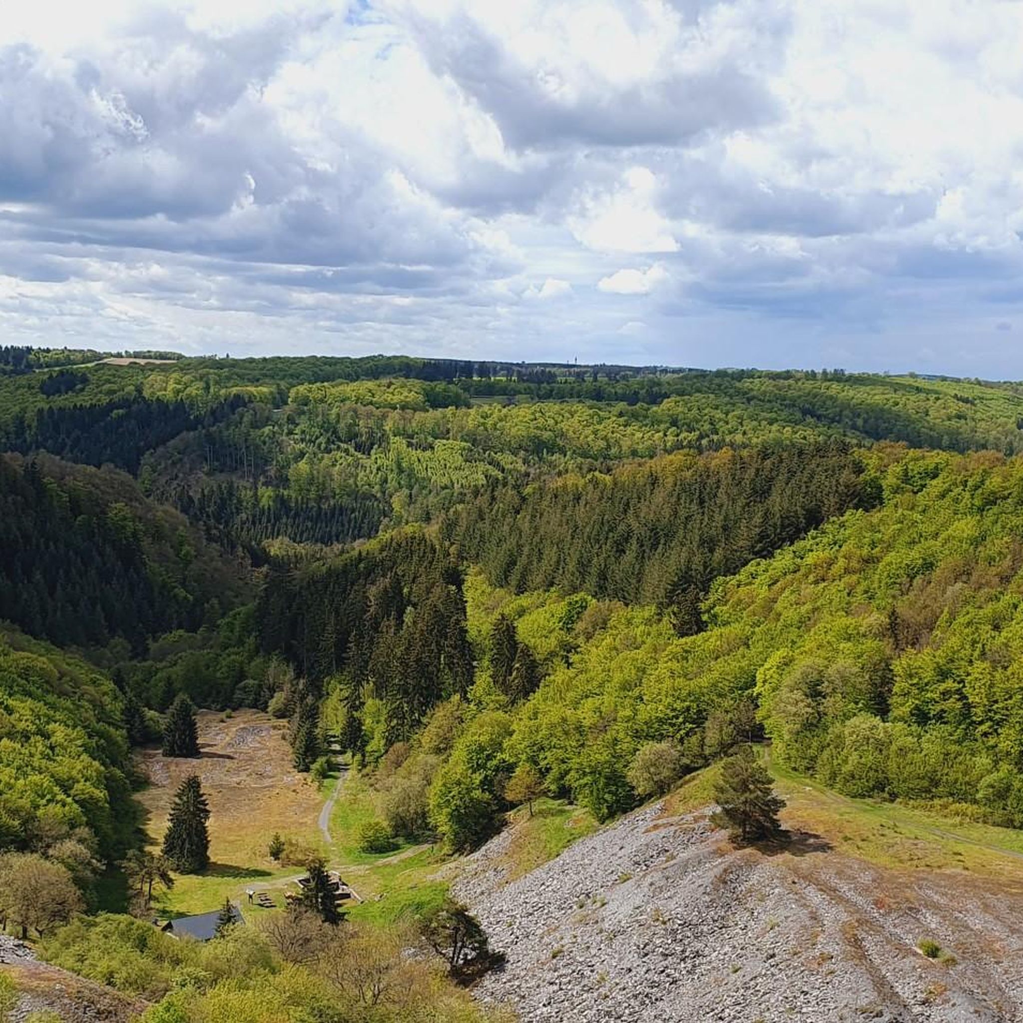
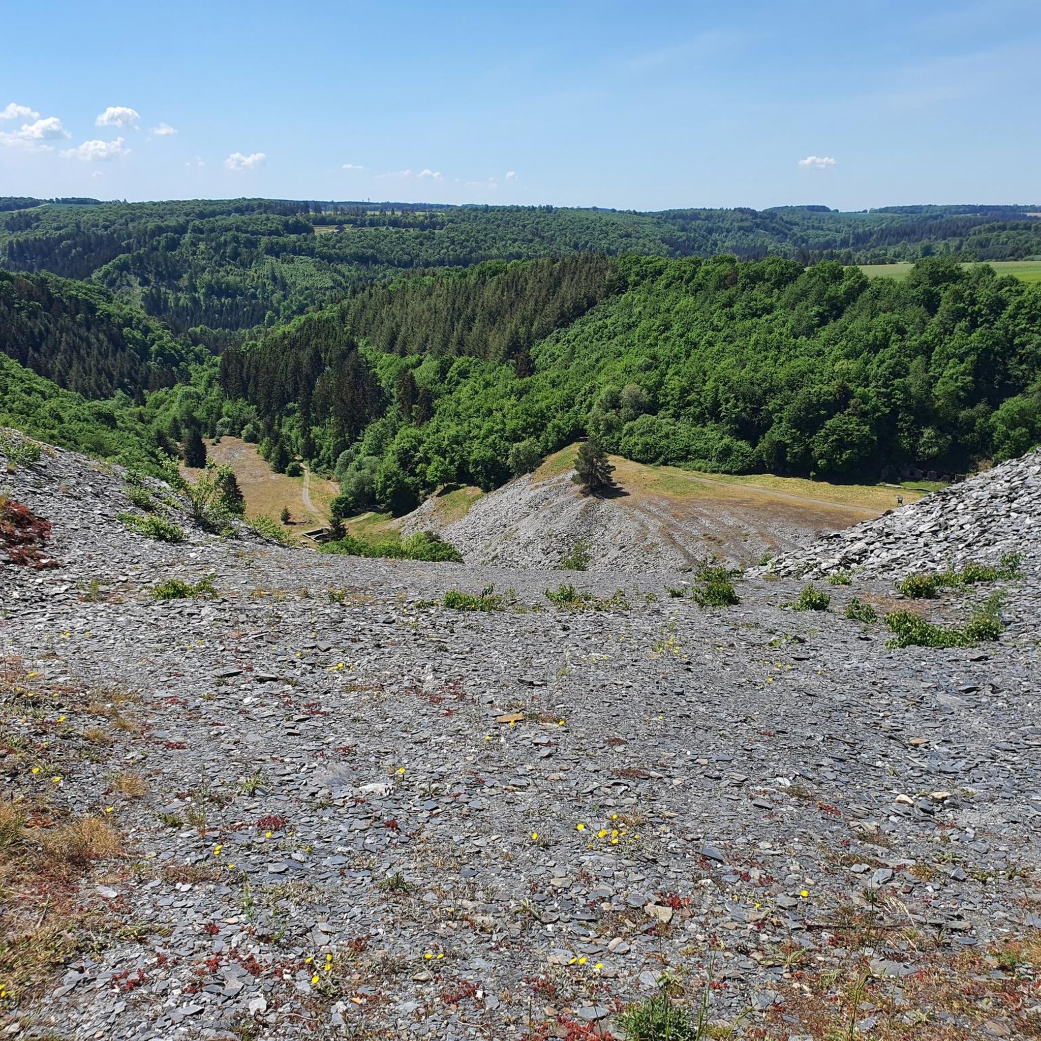
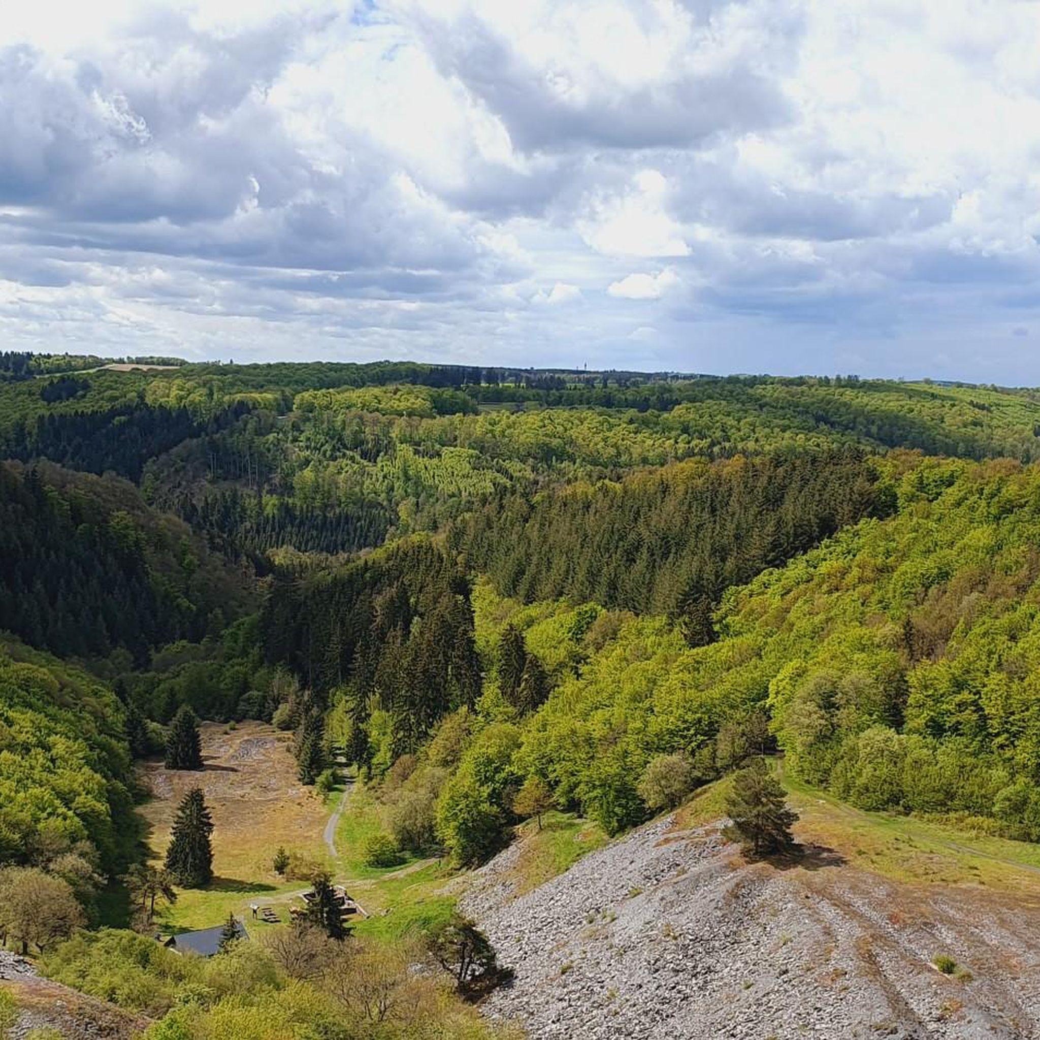
Jogging around Leienkaul offers diverse routes through a landscape characterized by rolling hills and lush forests. The region features impressive valleys, such as the Kaulenbach Valley and the Endert Valley, providing varied terrain for runners. Trails often wind through former historic slate mining areas, offering both natural beauty and historical insights. This area provides a refreshing environment with both challenging inclines and more relaxed, flat sections suitable for different fitness levels.
Best jogging routes around Leienkaul
- The most popular jogging…
Last updated: September 29, 2026
4.0
(1)
16
runners
8.40km
00:54
110m
110m
Moderate run. Good fitness required. Mostly paved surfaces. Suitable for all skill levels.
4.4
(5)
17
runners
6.74km
00:43
90m
90m
Moderate run. Good fitness required. Mostly paved surfaces. Suitable for all skill levels.

21
runners
6.76km
00:46
110m
110m
Moderate run. Good fitness required. Mostly accessible paths. Some sure footedness required.
4.3
(3)
3
runners
5.15km
00:33
80m
80m
Moderate run. Good fitness required. Mostly paved surfaces. Suitable for all skill levels.
5
runners
3.86km
00:26
60m
60m
Easy run. Great for any fitness level. Mostly paved surfaces. Suitable for all skill levels.
Get access to more routes and recommendations from other explorers.
Already have an account?
Our route recommendations are based on thousands of hikes, rides, and runs completed by other people on komoot.
Start today with a free account
Your next adventure awaits.
Frequently Asked Questions
How many running routes are available around Leienkaul?
Leienkaul offers a wide selection of running routes, with over 130 trails to explore. This extensive network provides diverse options for all fitness levels, from easy jogs to more challenging runs.
What makes running in Leienkaul unique?
Running in Leienkaul is unique due to its picturesque landscape of rolling hills and lush forests. The region features impressive natural formations like the Kaulenbach Valley and the Endert Valley, offering varied terrain and scenic beauty. Many trails also wind through former historic slate mining areas, providing a blend of natural beauty and historical insight.
Are there running routes suitable for beginners in Leienkaul?
Yes, Leienkaul has several running routes perfect for beginners. There are 18 easy-rated trails, such as the Running loop from Neuhof (Eifel), which is 3.8 km long and features gentle inclines, making it ideal for those new to running or looking for a relaxed pace.
Can I find running routes that pass by waterfalls or other natural landmarks?
Absolutely! The Endert Valley, a prominent feature of the region, is known for its diverse landscape and includes a beautiful waterfall. You can find trails that lead past natural landmarks like The Rausch Waterfall, offering a refreshing and scenic experience during your run.
Are there scenic viewpoints along the running trails in Leienkaul?
Many running routes in the Leienkaul area offer stunning views. You can find trails that lead to impressive viewpoints such as Pinnerkreuz Viewpoint or provide a View of Kastelberg, allowing you to enjoy panoramic vistas of the surrounding landscape.
What do other runners think about the trails in Leienkaul?
The running routes in Leienkaul are highly regarded by the komoot community, boasting an average rating of 4.3 stars from over 200 reviews. More than 2,500 runners have explored the varied terrain, often praising the quiet woodlands, well-marked paths, and the refreshing environment.
Are there longer, more challenging running routes for experienced runners?
Yes, for experienced runners seeking a challenge, Leienkaul offers 27 difficult-rated routes. An example is the Litzbach Stream – Alflen War Memorial Chapel loop from Alflen, which spans over 15 km and includes significant elevation changes, providing a demanding and rewarding experience.
Are dogs allowed on the running trails around Leienkaul?
Generally, dogs are welcome on the running trails in the Leienkaul region. However, it's always recommended to keep your dog on a leash, especially in nature reserves or areas with wildlife, and to respect local signage regarding pet regulations.
Are there any circular running routes in the area?
Most of the running routes around Leienkaul are designed as circular loops, offering convenient starting and ending points. Popular options include the Entenweiher loop from Kaisersesch and the Running loop from Kaisersesch, both providing varied terrain and scenic views.
What kind of terrain can I expect on the running trails?
The running trails in Leienkaul feature a diverse range of terrain. You can expect paths through dense woodlands, over gentle rolling hills, and along the impressive Kaulenbach and Endert Valleys. This includes both challenging inclines and more relaxed, flat sections, often with natural surfaces like earth and gravel.
When is the best time of year to go running in Leienkaul?
Leienkaul offers beautiful running conditions throughout much of the year. Spring and autumn provide pleasant temperatures and vibrant natural scenery, while summer allows for early morning or late evening runs. Even in winter, the trails can be enjoyed, though some paths might require appropriate footwear due to potential snow or ice.
Is there parking available near the running trailheads?
While specific parking information for every trailhead isn't always available, many villages and popular starting points for trails in the Leienkaul region offer designated parking areas. It's advisable to check local maps or komoot route details for parking suggestions near your chosen starting point.
Most popular attractions around Leienkaul

Get inspired with the komoot mobile app


Explore more
Browse the best Running Trails & Routes in other regions.
