Landkreis Bad Tölz-Wolfratshausen
Landkreis Bad Tölz-Wolfratshausen
The best mountain hikes in Landkreis Bad Tölz-Wolfratshausen
4.7
(1606)
17,517
hikers
293
hikes
Mountaineering routes in Landkreis Bad Tölz-Wolfratshausen traverse a diverse landscape, transitioning from gentle Alpine foothills in the north to the rugged Karwendelgebirge in the south. The region features prominent peaks such as Jochberg, Heimgarten, and Herzogstand, offering extensive panoramic views. Valleys are characterized by the pristine Isar and Loisach rivers, and numerous lakes including Walchensee and Kochelsee. The terrain also includes intact forests, moors, and meadows, providing varied environments for mountaineering.
Best mountaineering routes in Landkreis Bad Tölz-Wolfratshausen
- The most…
Last updated: July 5, 2026
4.8
(158)
1,270
hikers
14.5km
07:19
1,130m
1,130m
Hard mountaineering route. Very good fitness required. Sure-footedness, sturdy shoes and alpine experience required.
4.9
(101)
681
hikers
10.4km
04:45
750m
750m
Moderate mountaineering route. Good fitness required. Mostly accessible paths. Sure-footedness required.

Sign up for free
4.9
(94)
670
hikers
13.9km
05:34
750m
750m
Hard mountaineering route. Very good fitness required. Mostly accessible paths. Sure-footedness required.
4.6
(37)
653
hikers
5.73km
03:33
650m
650m
Moderate mountaineering route. Good fitness required. Mostly accessible paths. Sure-footedness required.
4.5
(36)
648
hikers
6.78km
03:38
630m
630m
Moderate mountaineering route. Good fitness required. Mostly accessible paths. Sure-footedness required.
4.5
(24)
616
hikers
10.2km
05:06
900m
900m
Hard mountaineering route. Very good fitness required. Mostly accessible paths. Sure-footedness required.
4.6
(31)
472
hikers
11.4km
05:39
870m
870m
Hard mountaineering route. Very good fitness required. Mostly accessible paths. Sure-footedness required.
4.8
(33)
166
hikers
5.86km
03:26
620m
620m
Hard mountaineering route. Good fitness required. Sure-footedness, sturdy shoes and alpine experience required.
4.7
(30)
414
hikers
Hard mountaineering route. Very good fitness required. Sure-footedness, sturdy shoes and alpine experience required.
4.7
(46)
343
hikers
13.1km
05:31
840m
840m
Hard mountaineering route. Very good fitness required. Mostly accessible paths. Sure-footedness required.
Get access to more routes and recommendations from other explorers.
Sign up for free
Already have an account?
Our route recommendations are based on thousands of hikes, rides, and runs completed by other people on komoot.
Start today with a free account
Your next adventure awaits.
Login or Signup
Popular around Landkreis Bad Tölz-Wolfratshausen

Mountain Hikes around Kochel am See

Mountain Hikes around Walchensee

Mountain Hikes around Lenggries
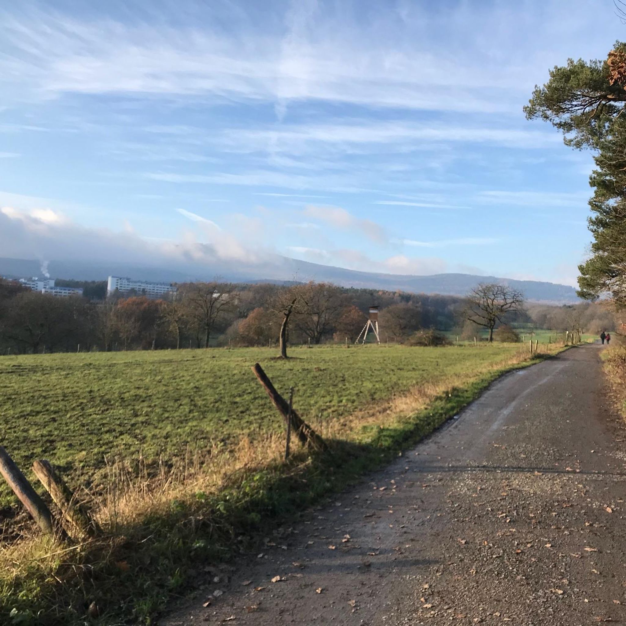
Mountain Hikes around Jachenau

Mountain Hikes around Bad Tölz

Mountain Hikes around Wackersberg
Mountain Hikes around Isar-Stausee Tölz
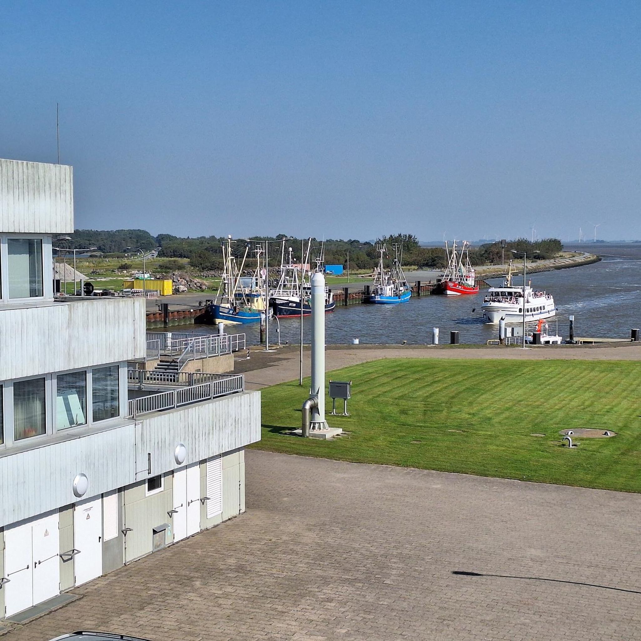
Mountain Hikes in Isarauen Zwischen Schäftlarn Und Bad Tölz
Mountain Hikes in Karwendel Und Karwendelvorgebirge
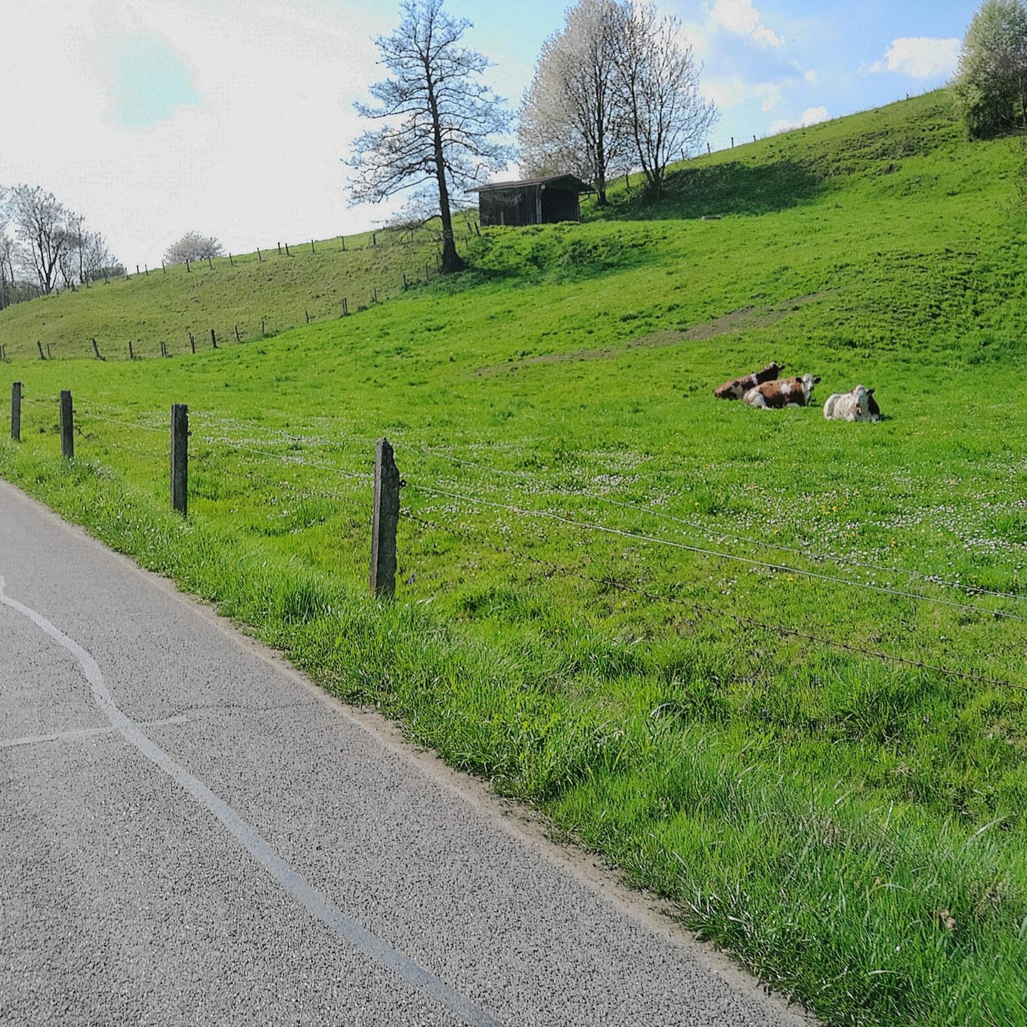
Mountain Hikes around Kochelsee
Other adventures in Landkreis Bad Tölz-Wolfratshausen


Tips from the Community

Very narrow and challenging. Too difficult for me.
0
0

Worlds meet here. Mountaineers and tourists in flip-flops from the nearby Herzogstandbahn. Super view in top weather of several lakes. A small hut offers some sun protection and there are a few information boards about the surrounding mountains.
0
0

In good weather, you'll enjoy a magnificent view of Lake Walchensee and Lake Kochel. The Jochberg Alm is a must-stop. The Kaiserschmarn (sweet pancakes) is delicious, and the hosts are very friendly.
0
0
A great ridge with a fantastic view. In some places, you have to climb a bit.
0
0

Fantastic view of Lake Kochel.
0
0

Each of the summit crosses one often encounters in the mountains—as here on the Jochberg—whether with or without the body of the crucified Christ, invites passersby to a brief spiritual rest. Perhaps one or another will be able to encounter God here in a brief prayer. As a prerequisite for a completely different mystical experience of encountering God, beyond such a small sacred monument, Hape Kerkeling, who made a pilgrimage on the Camino Frances in 2001, writes: "I am becoming freer here every day (...) Through all the emotional frequencies, I slowly tuned myself into one frequency and had a wonderful reception. Total serene emptiness is the state that creates a vacuum that God can then completely fill in a relaxed manner." (Hape Kerkeling in "I'm Off Then")
0
0

Extremely beautiful, wonderful view, just enjoy.
3
1

The Lenggrieser Hütte was a good starting point for our upcoming tours, friendly and helpful staff, the food is plentiful and served super quickly, when I think of the portion of Kaiserschmarren, which I can only recommend to everyone.
5
0
Frequently Asked Questions
How many mountaineering routes are available in Landkreis Bad Tölz-Wolfratshausen?
There are over 300 mountaineering routes in Landkreis Bad Tölz-Wolfratshausen, catering to various skill levels. You'll find a wide range of options, from moderate ascents to more challenging ridge traverses.
What do other mountaineers say about the routes in Landkreis Bad Tölz-Wolfratshausen?
The routes in Landkreis Bad Tölz-Wolfratshausen are highly rated by the komoot community, with an average score of 4.7 stars from over 1500 reviews. Mountaineers often praise the diverse landscapes, from gentle foothills to rugged peaks, and the extensive panoramic views, especially around lakes like Walchensee.
Are there easy mountaineering routes suitable for beginners?
Yes, while many routes are challenging, there are options for beginners. For instance, the region offers trails through forests and along riverbanks. While specific easy mountaineering routes are fewer, you can find moderate paths like the View of Lake Walchensee – Jochberg summit loop from Walchenseekraftwerk, which provides consistent views without extreme difficulty.
What about more challenging mountaineering routes in the region?
For experienced mountaineers, the region offers demanding routes, particularly in the more rugged Karwendelgebirge area. A notable challenging option is the Heimgarten–Herzogstand Ridge – Heimgarten Summit (1,790 m) loop from Walchensee, which provides a high alpine experience with panoramic ridge views. Another difficult route is the View of Lake Walchensee – Jochberg summit loop from Walchensee, offering varied mountain terrain.
Are there circular mountaineering routes available?
Many mountaineering routes in Landkreis Bad Tölz-Wolfratshausen are designed as loops, allowing you to start and end at the same point. Examples include the Heimgarten–Herzogstand Ridge – Heimgarten Summit (1,790 m) loop from Walchensee and the View of Lake Walchensee – Jochberg summit loop from Walchenseekraftwerk. These circular paths are popular for their convenience and varied scenery.
What kind of natural attractions can I expect to see along the routes?
The region is rich in natural beauty. You'll encounter prominent peaks like Jochberg and Herzogstand, offering extensive panoramic views. The pristine Isar and Loisach rivers wind through floodplains, and numerous lakes such as Walchensee and Kochelsee are characteristic features. You can also explore highlights like the Herzogstand summit and views of Walchensee and Kochelsee or the Jochberg Summit.
Are there mountaineering routes accessible by public transport?
While specific public transport details for each trailhead vary, many popular starting points for mountaineering routes in the region are accessible by bus or train. For example, areas around Walchensee and Kochelsee often have public transport connections. It's advisable to check local bus schedules for specific routes like the View of Lake Walchensee – Jochberg summit loop from Kesselberg.
Are there routes with parking available?
Yes, many trailheads for mountaineering routes in Landkreis Bad Tölz-Wolfratshausen offer designated parking areas. Popular starting points near Walchensee, Kochelsee, or Kesselberg typically have parking facilities. For instance, routes like the Jocher Alm Trail – View of Lake Walchensee loop from Walchenseekraftwerk often have parking nearby.
Are there mountaineering routes with hut stops?
Yes, the region features mountain huts that can serve as excellent starting points, rest stops, or even overnight stays for various tours. Huts like the Lenggrieser Hütte are well-known. While not all routes explicitly list hut stops, many longer tours, such as the Herzogstand Mountain Inn – Herzogstand summit cross loop from Walchenseekraftwerk, pass by or near mountain inns.
Can I bring my dog on the mountaineering trails?
Many trails in Landkreis Bad Tölz-Wolfratshausen are dog-friendly, but it's always recommended to keep your dog on a leash, especially in areas with livestock or wildlife. Be mindful of the difficulty and length of the route, and ensure your dog is fit for the terrain. Always carry enough water for both yourself and your pet.
Are there family-friendly mountaineering options?
While many mountaineering routes are demanding, some sections or shorter loops can be suitable for families with older children who are accustomed to hiking. The region's diverse landscape includes easier paths through forests and meadows. For a moderate option, consider parts of the Dangerous Trail in the Dark – Graseck Summit loop from Kochel am See, adapting it to your family's ability.
What are some prominent peaks in the region that I can summit?
The region is home to several prominent peaks offering rewarding summit experiences. You can aim for the Herzogstand summit, which provides stunning views of Walchensee and Kochelsee, or the Jochberg Summit. Other notable mountains include Heimgarten, Benediktenwand, Brauneck, Martinskopf, and Sonnenspitz, such as the Sonnenspitz summit – Dangerous Trail in the Dark loop from Kochel am See.
When is the best time for mountaineering in Landkreis Bad Tölz-Wolfratshausen?
The best time for mountaineering in Landkreis Bad Tölz-Wolfratshausen is typically from late spring to early autumn (May to October), when the weather is generally stable and trails are clear of snow. Summer offers warmer temperatures, while spring and autumn provide vibrant foliage and fewer crowds. Always check local weather conditions before heading out, especially for higher alpine routes.
What can I explore in the town of Bad Tölz after a hike?
After a day of mountaineering, the charming town of Bad Tölz offers a relaxing complement to your outdoor adventures. You can stroll along the riverside promenade of the Isar, admire its stunning architecture, delve into its rich history, or unwind in its thermal baths. For more information on the town, you can visit tourism.de/bad-toelz/.
Most popular routes in Landkreis Bad Tölz-Wolfratshausen
Most popular attractions in Landkreis Bad Tölz-Wolfratshausen

Get inspired with the komoot mobile app


Didn’t find what you were looking for?
Check out more Mountain Hikes & Routes throughout Landkreis Bad Tölz-Wolfratshausen below and find the perfect route in your destination.
