Landkreis Bad Tölz-Wolfratshausen
Landkreis Bad Tölz-Wolfratshausen
The best walks and hikes in Landkreis Bad Tölz-Wolfratshausen
4.5
(48862)
264,642
hikers
2,658
hikes
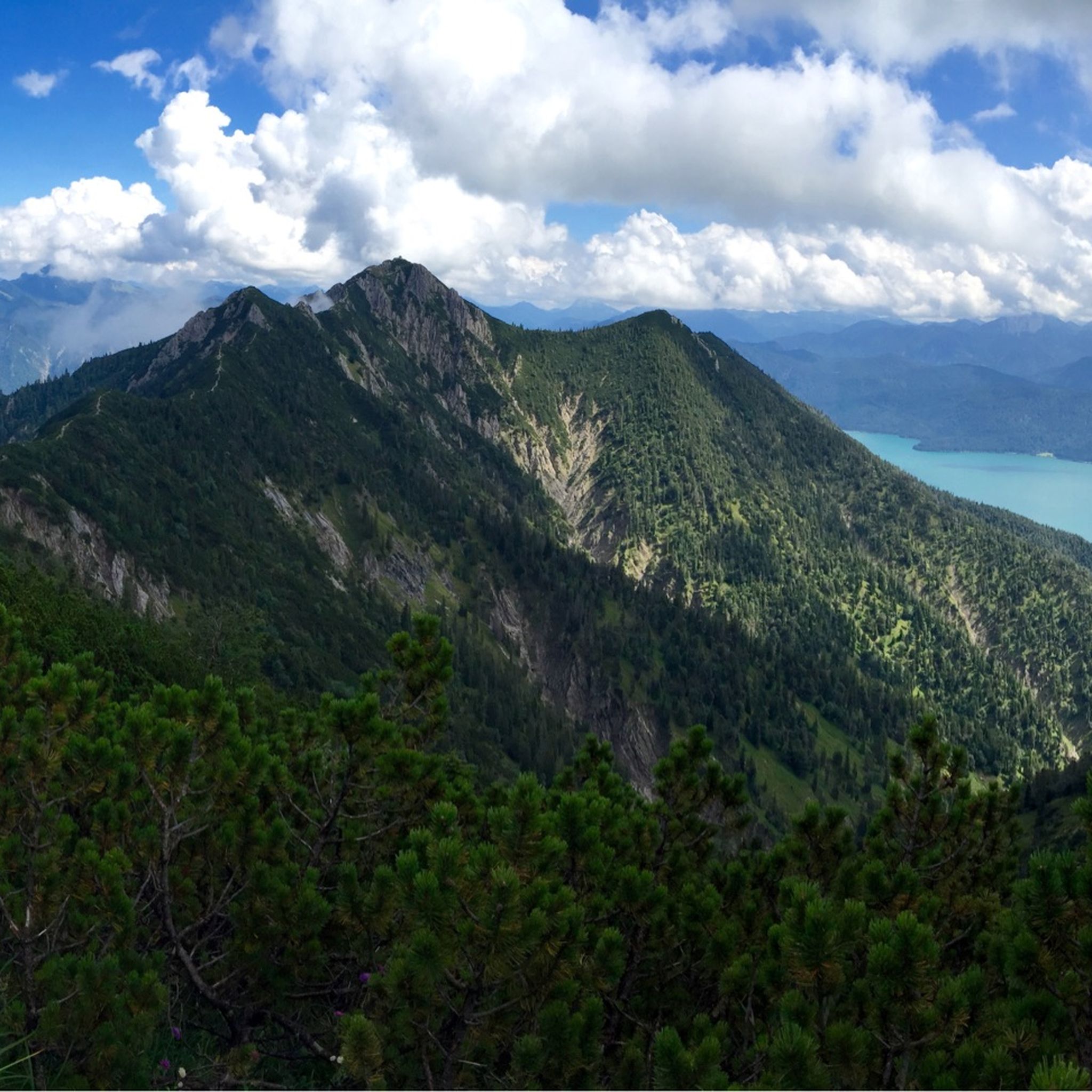
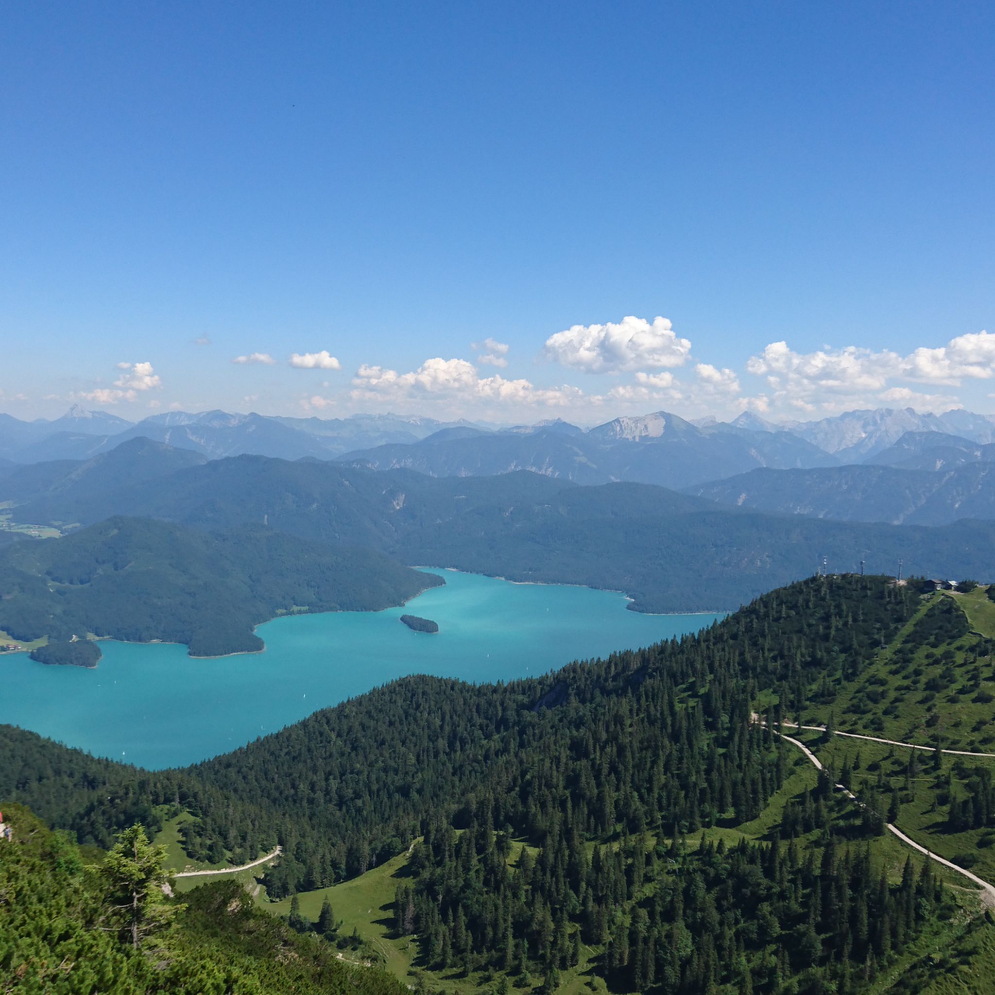
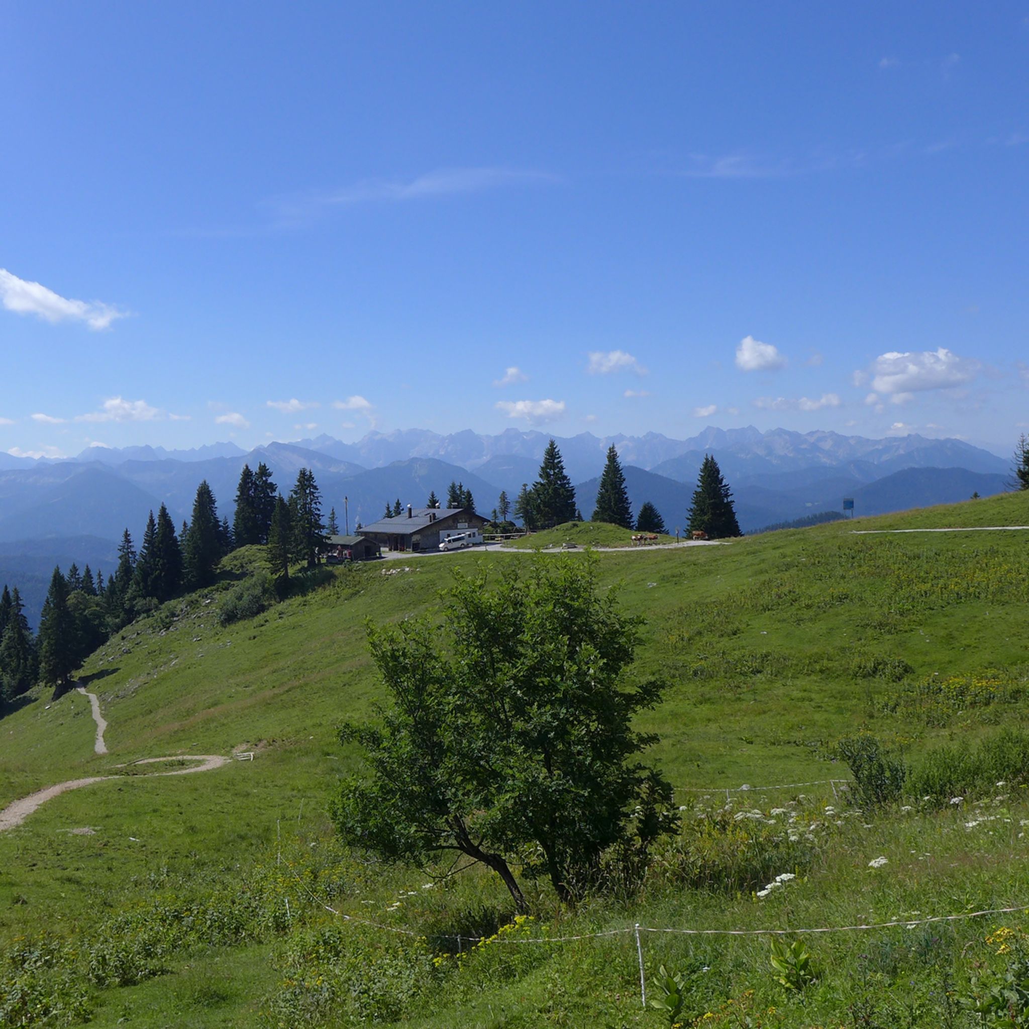
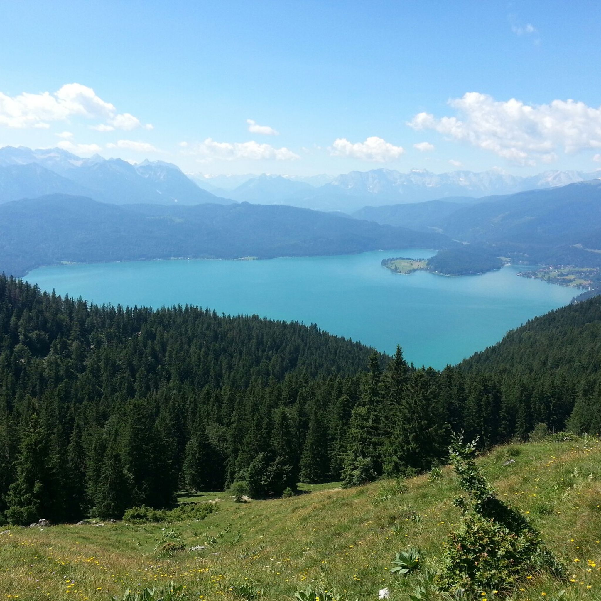
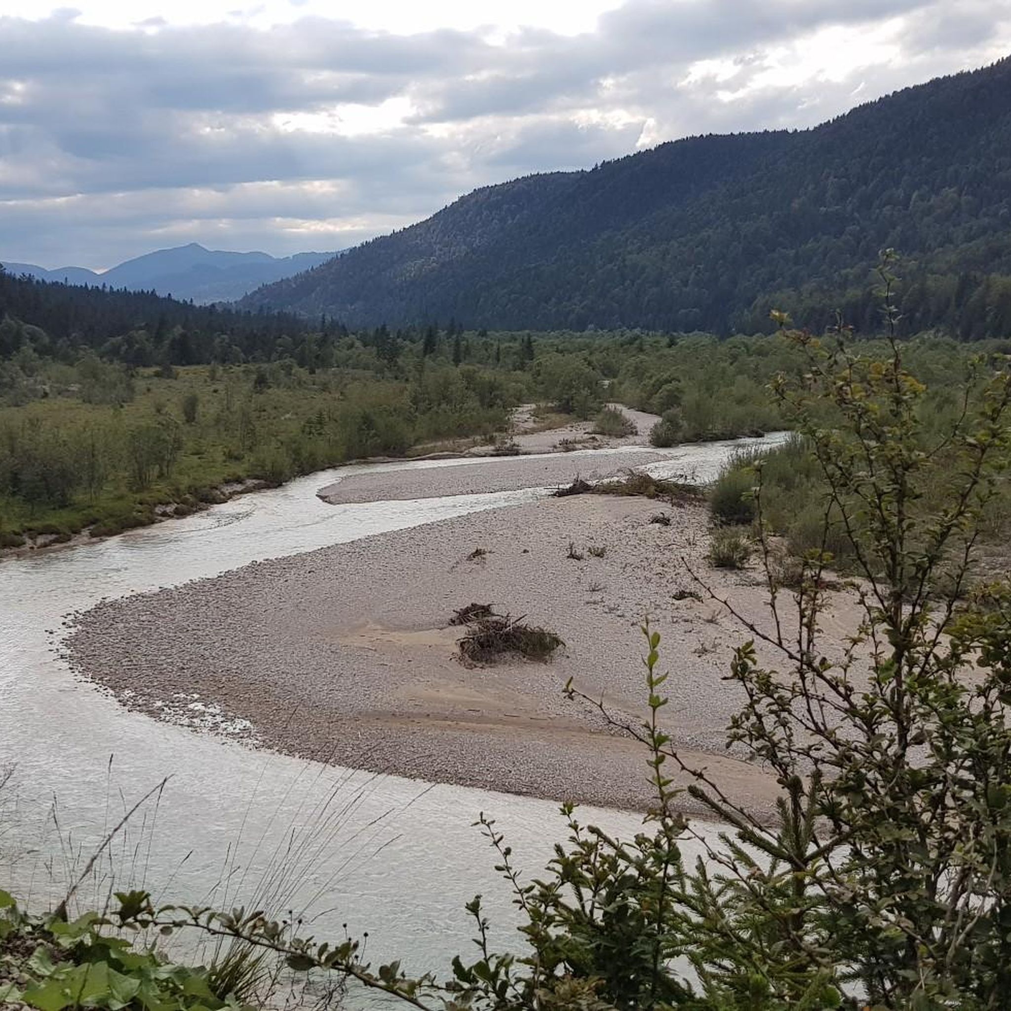
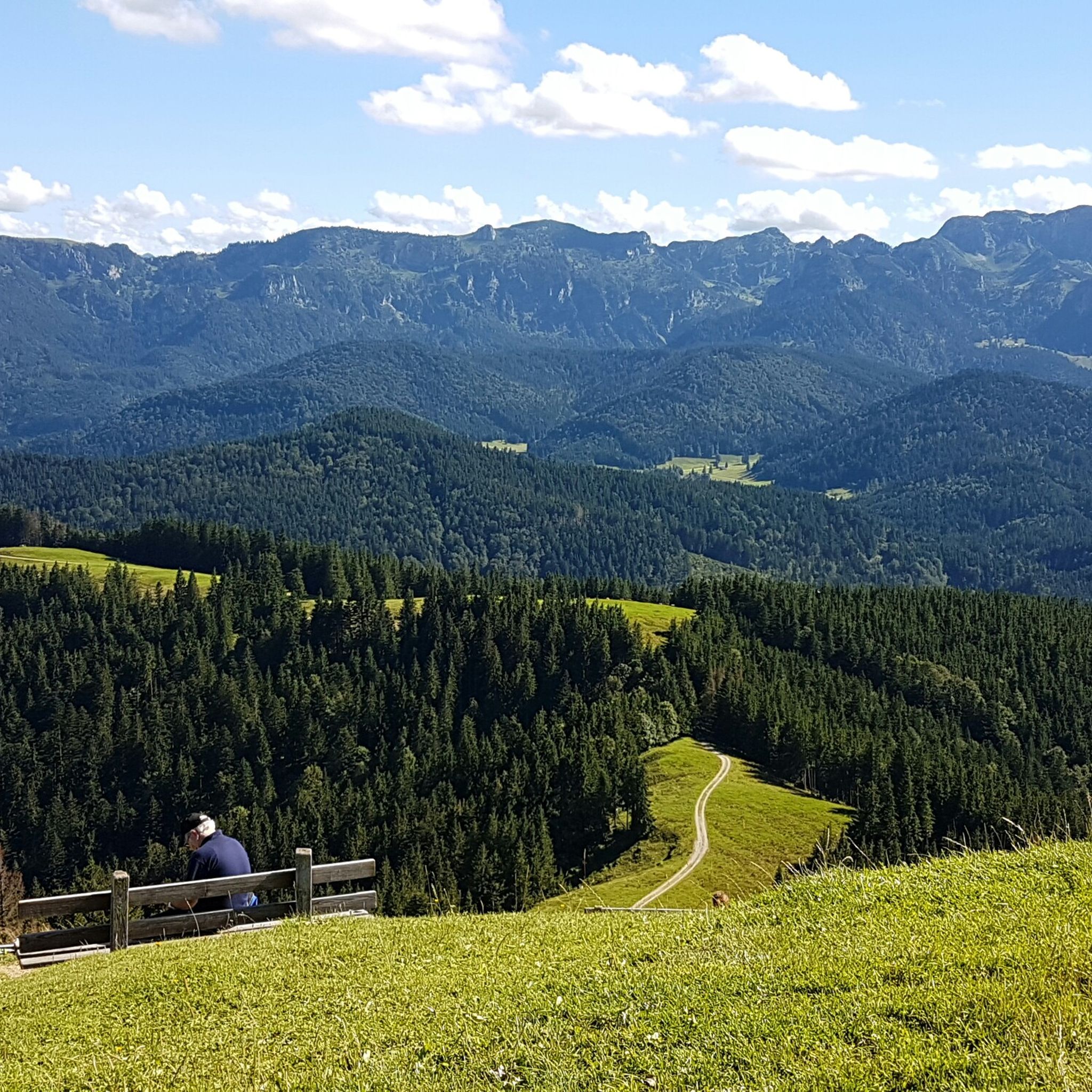
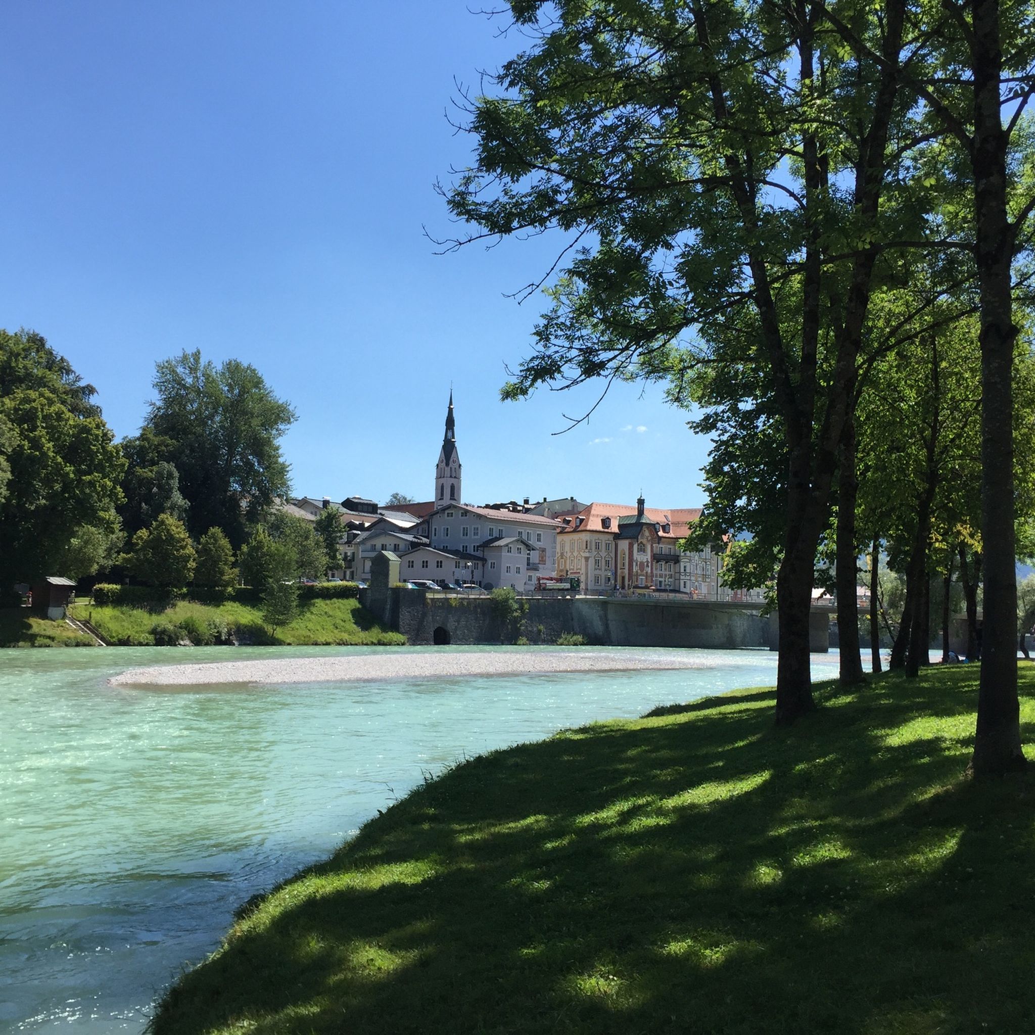
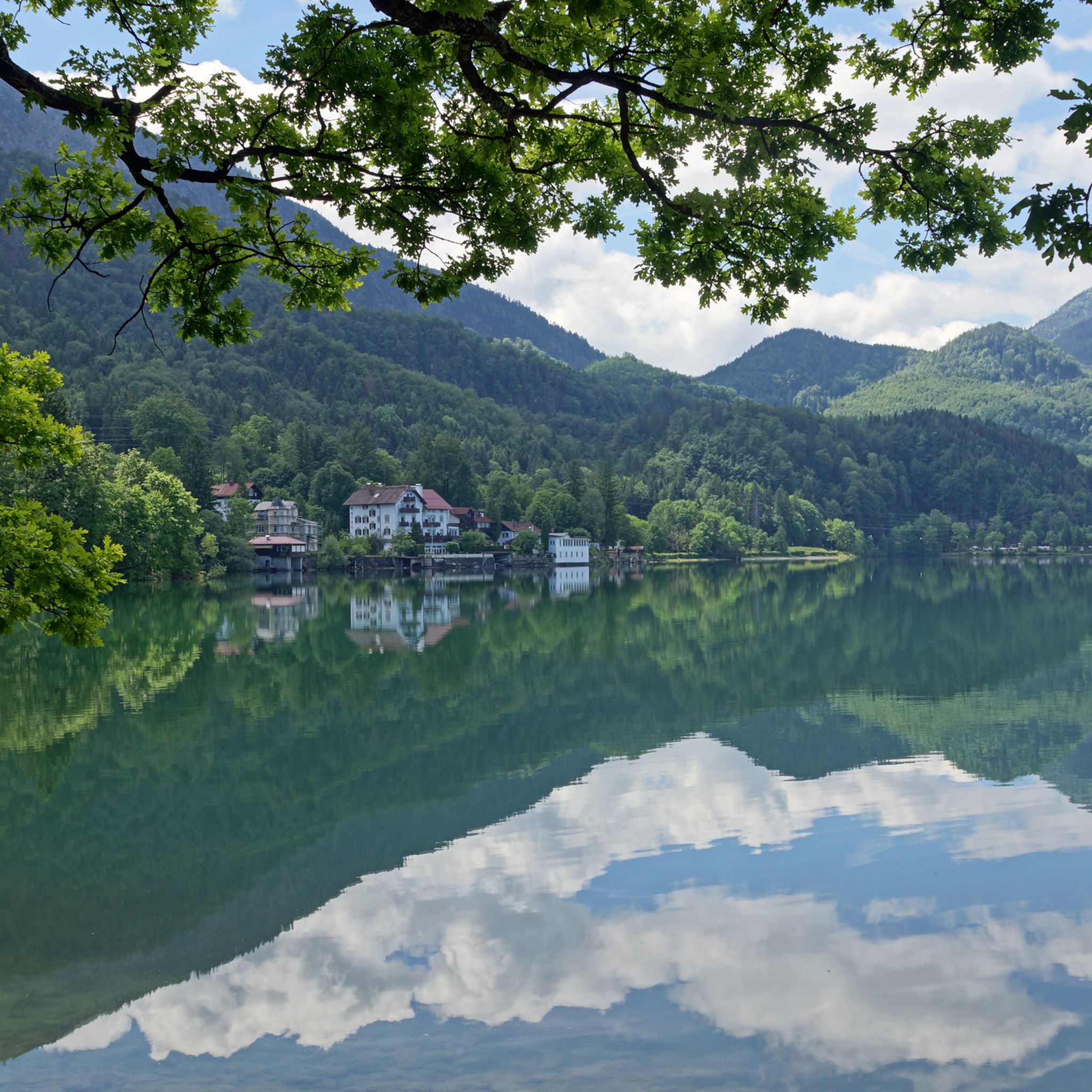
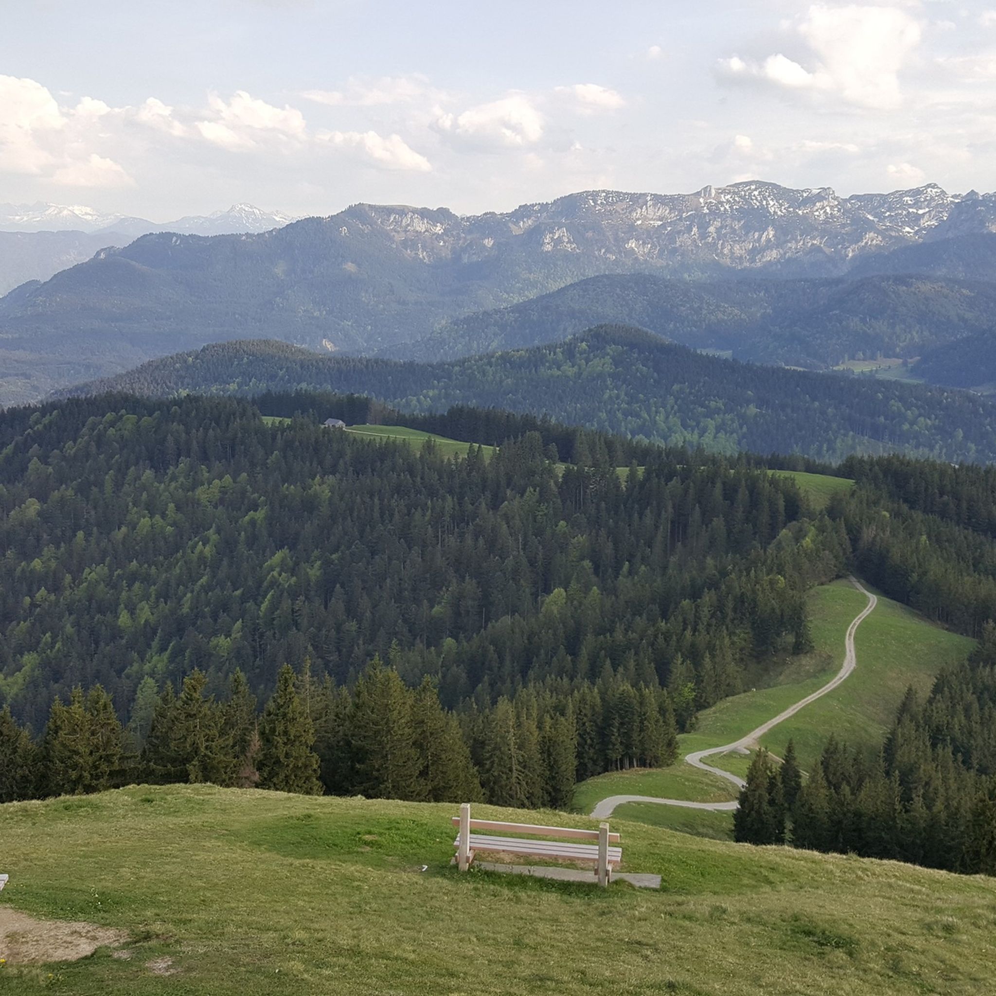
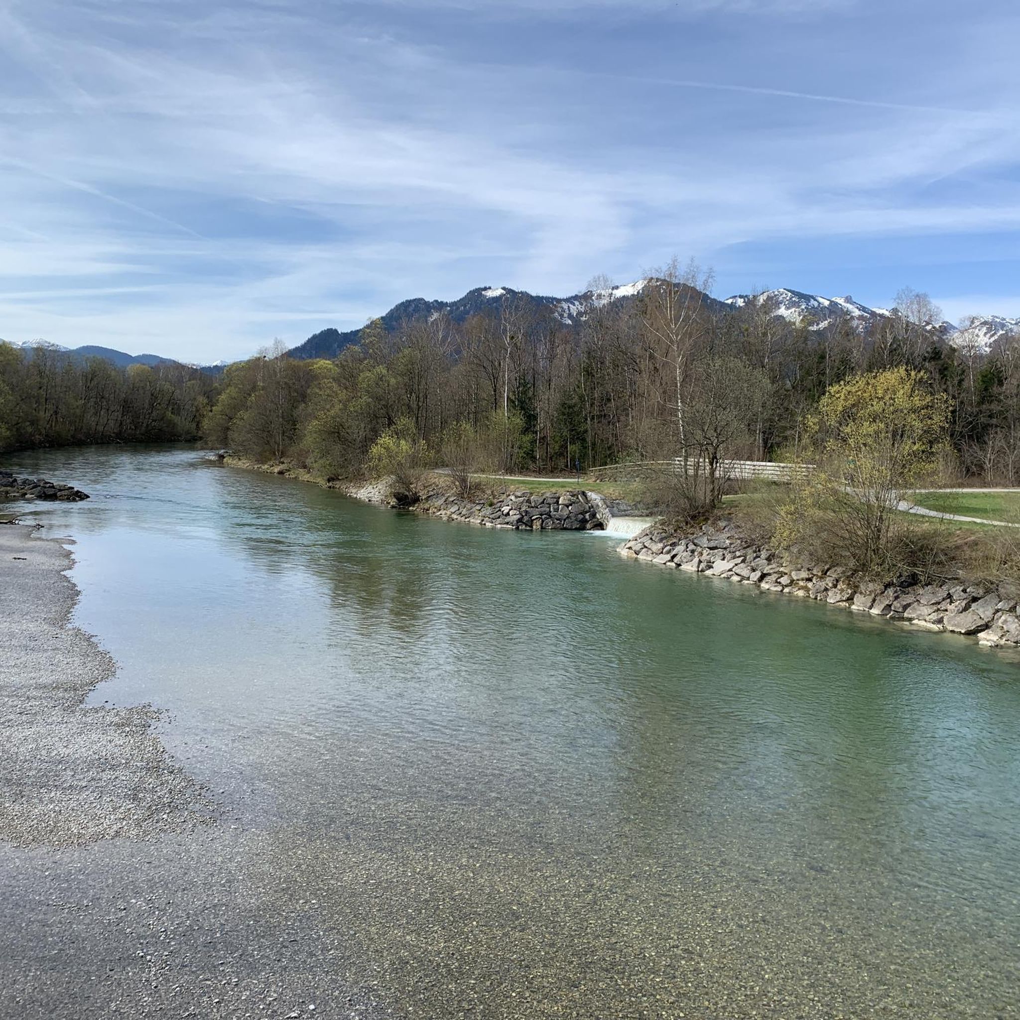
Hiking in Landkreis Bad Tölz-Wolfratshausen offers diverse landscapes, transitioning from gentle hills in the north to the foothills of the Alps in the south. The region features prominent peaks like Jochberg, Heimgarten, and Herzogstand, providing extensive views. Numerous lakes, including Walchensee and Kochelsee, along with the Isar and Loisach rivers, define the valleys. Trails wind through forests, along riverbanks, and across open meadows, offering varied terrain for outdoor activities.
Best hiking trails in Landkreis Bad Tölz-Wolfratshausen
- The most popular hiking…
Last updated: July 8, 2026
3,225
hikers
15.1km
06:57
1,110m
1,100m
Hard hike. Very good fitness required. Sure-footedness, sturdy shoes and alpine experience required.
4.8
(624)
4,773
hikers
10.1km
04:45
800m
800m
Moderate hike. Good fitness required. Mostly accessible paths. Sure-footedness required.

Sign up for free
4.8
(1898)
8,656
hikers
9.49km
04:12
660m
660m
Moderate hike. Good fitness required. Mostly accessible paths. Sure-footedness required.
4.8
(384)
2,517
hikers
4.14km
01:32
150m
150m
Hard hike. Great for any fitness level. Sure-footedness, sturdy shoes and alpine experience required.
4.2
(592)
2,580
hikers
13.6km
03:47
220m
220m
Moderate hike. Good fitness required. Mostly accessible paths. Sure-footedness required.
4.8
(632)
2,764
hikers
5.87km
02:18
310m
310m
Moderate hike. Good fitness required. Mostly accessible paths. Sure-footedness required.
4.8
(627)
2,348
hikers
9.83km
02:43
170m
170m
Moderate hike. Good fitness required. Easily-accessible paths. Suitable for all skill levels.
4.7
(485)
2,147
hikers
9.30km
02:29
100m
100m
Moderate hike. Good fitness required. Easily-accessible paths. Suitable for all skill levels.
4.7
(369)
1,908
hikers
12.6km
05:05
690m
690m
Hard hike. Very good fitness required. Mostly accessible paths. Sure-footedness required.
4.7
(399)
1,597
hikers
6.04km
03:29
630m
630m
Hard hike. Good fitness required. Sure-footedness, sturdy shoes and alpine experience required.
Get access to more routes and recommendations from other explorers.
Sign up for free
Already have an account?
Our route recommendations are based on thousands of hikes, rides, and runs completed by other people on komoot.
Start today with a free account
Your next adventure awaits.
Login or Signup
Popular around Landkreis Bad Tölz-Wolfratshausen
Other adventures in Landkreis Bad Tölz-Wolfratshausen


Tips from the Community

Very narrow and challenging. Too difficult for me.
0
0

Beautiful lake, great paths, nice view of the mountains
0
0

It's not the Jachen, but the Große Laine.
0
0

Those wanting to reach the waterfall or head towards Rabenkopf/Beniwand by mountain bike should take the forest road on the right-hand side heading into the valley. The narrow footpath on the left is closed to bicycles. It's a much nicer route for hiking and also the more scenic one towards Hirschhörnl.
0
0

Simply sit here, enjoy the view and let your mind wander.
0
0


Beautiful view over Lake Walchensee. It also serves as a reservoir for the hydroelectric power plant. A cycling and hiking path runs along the eastern shore. Unfortunately, on the western shore, you have to use most of the B11 by bike.
0
0

The stream winds its way down into the valley over waterfalls of varying heights. This is a beautiful gorge with mossy rocks and ferns, but it's also clearly shaped by the force of the water and not always easy to navigate. Be sure to have surefootedness and wear proper footwear.
0
0
Frequently Asked Questions
How many hiking trails are available in Landkreis Bad Tölz-Wolfratshausen?
Landkreis Bad Tölz-Wolfratshausen offers a vast network of over 2,500 hiking trails. These routes cater to all levels, from easy strolls along riverbanks to challenging mountain ascents in the Alpine foothills.
What types of terrain can I expect when hiking in Landkreis Bad Tölz-Wolfratshausen?
The region boasts diverse terrain, transitioning from gentle hills in the north to the dramatic foothills of the Alps in the south. You'll find trails winding through lush forests, across open meadows, along picturesque river valleys like the Isar and Loisach, and around stunning lakes such as Walchensee and Kochelsee. Prominent peaks like Jochberg, Heimgarten, and Herzogstand also offer extensive mountain experiences.
Are there easy hiking trails suitable for beginners or casual walkers?
Yes, there are over 1,200 easy trails in the region. Many paths follow riverbanks or loop around lakes, offering gentle gradients and beautiful scenery. For a pleasant moderate walk with minimal elevation, consider the Lake Walchensee – View of Lake Walchensee loop from Walchensee, which offers lovely lakeside views.
Where can I find more challenging hikes in the region?
For experienced hikers seeking a challenge, the region offers over 350 difficult trails, particularly around its prominent peaks. These routes often involve significant elevation gain and rocky terrain. An example is the View of Kochelsee – Jochberg Summit loop from Kochel am See, which provides demanding ascents and rewarding panoramic views.
Are there any circular hiking routes in Landkreis Bad Tölz-Wolfratshausen?
Yes, many of the region's most scenic trails are circular, allowing you to return to your starting point without retracing your steps. For instance, the Lake Kochel – Rock path at Lake Kochel loop from Schlehdorf is a moderate circular route offering beautiful lakeside views.
What natural features or landmarks can I see along the hiking trails?
Hikers can discover a wealth of natural beauty. The region is home to stunning lakes like Lake Walchensee and Kochelsee, and offers breathtaking views from summits such as Jochberg and Herzogstand. You might also encounter picturesque waterfalls, like those along the Rocky Riverbed Rest Spot – Glasbach Waterfall loop from Jachenau, and serene river valleys.
What do other hikers enjoy most about the trails in Landkreis Bad Tölz-Wolfratshausen?
The trails in Landkreis Bad Tölz-Wolfratshausen are highly rated by the komoot community, with an average score of 4.5 stars from over 43,000 reviews. Hikers frequently praise the diverse and picturesque landscapes, the extensive network of well-maintained paths, and the stunning panoramic views from the mountain peaks and lake shores.
Are there any hikes with mountain huts for refreshments or overnight stays?
Yes, many mountain trails in the Alpine foothills of Landkreis Bad Tölz-Wolfratshausen feature traditional mountain huts (Almen or Hütten) where you can stop for refreshments or, in some cases, an overnight stay. These huts often offer local Bavarian cuisine and stunning views, providing a perfect break during your hike. Routes like the View of the Bavarian Alps – View from Latschenkopf loop from Brauneck often pass by such establishments.
Is public transport available to access hiking trailheads?
Public transport options, including buses and regional trains, serve many towns and villages within Landkreis Bad Tölz-Wolfratshausen, providing access to various trailheads. It's advisable to check local transport schedules for specific routes and starting points, especially for more remote mountain areas.
Can I bring my dog on the hiking trails in Landkreis Bad Tölz-Wolfratshausen?
Most hiking trails in Landkreis Bad Tölz-Wolfratshausen are dog-friendly, allowing you to enjoy the beautiful scenery with your canine companion. However, it's always recommended to keep dogs on a leash, especially in nature reserves, near livestock, or in crowded areas. Always carry water for your dog and be prepared to clean up after them.
What is the best time of year for hiking in Landkreis Bad Tölz-Wolfratshausen?
Each season offers a unique hiking experience. Spring and summer are ideal for vibrant wildflowers and lush greenery, while autumn showcases spectacular foliage. Winter provides opportunities for snowshoeing and winter hiking, particularly on lower-elevation trails or designated winter paths. The best time depends on your preferred activity and the type of scenery you wish to enjoy.
Are there family-friendly hiking options in the region?
Absolutely. The region offers numerous family-friendly trails, particularly those along riverbanks, around lakes, or through gentle meadows. These routes are typically shorter, have minimal elevation gain, and often feature picnic spots or playgrounds. Look for trails marked as 'easy' for the most suitable options for families with children.
Most popular routes in Landkreis Bad Tölz-Wolfratshausen
Most popular attractions in Landkreis Bad Tölz-Wolfratshausen

Get inspired with the komoot mobile app


Didn’t find what you were looking for?
Check out more Hikes throughout Landkreis Bad Tölz-Wolfratshausen below and find the perfect route in your destination.
