Landkreis Bad Tölz-Wolfratshausen
Landkreis Bad Tölz-Wolfratshausen
The best MTB trails in Landkreis Bad Tölz-Wolfratshausen
4.5
(11677)
55,040
riders
1,078
rides
Mountain biking in Landkreis Bad Tölz-Wolfratshausen offers diverse terrain across Upper Bavaria, Germany. The region features a varied landscape, including the Isar River valley, significant lakes like Starnberg and Walchensee, and extensive forests. Riders can explore routes ranging from the northern areas around Wolfratshausen to the Alpine foothills stretching south from Bad Tölz. This combination provides a wide array of trails for different skill levels.
Best mountain bike trails in Landkreis Bad Tölz-Wolfratshausen
- The most popular mountain bike trail is…
Last updated: July 30, 2026
4.8
(886)
3,327
riders
Moderate mountain bike ride. Good fitness required. Advanced riding skills necessary.
4.9
(7)
58
riders
88.0km
07:03
1,130m
1,130m
Hard mountain bike ride. Very good fitness required. Advanced riding skills necessary.

Sign up for free
4.6
(304)
1,306
riders
42.5km
03:48
1,020m
1,020m
Hard mountain bike ride. Very good fitness required. Advanced riding skills necessary.
4.6
(215)
844
riders
29.1km
02:31
790m
790m
Moderate mountain bike ride. Good fitness required. Suitable for all skill levels.
4.6
(239)
900
riders
39.7km
02:50
460m
460m
Moderate mountain bike ride. Good fitness required. Advanced riding skills necessary.
4.7
(306)
1,265
riders
48.8km
04:15
1,080m
1,080m
Hard mountain bike ride. Very good fitness required. Advanced riding skills necessary.
4.8
(365)
1,307
riders
25.6km
01:29
190m
190m
Easy mountain bike ride. Great for any fitness level. Suitable for all skill levels.
4.6
(171)
657
riders
40.8km
03:08
600m
600m
Moderate mountain bike ride. Good fitness required. Advanced riding skills necessary.
4.8
(200)
701
riders
47.0km
04:20
1,190m
1,190m
Hard mountain bike ride. Very good fitness required. Advanced riding skills necessary. Some portions of the route may require you to push your bike.
4.6
(209)
914
riders
31.4km
02:36
780m
780m
Moderate mountain bike ride. Good fitness required. Advanced riding skills necessary.
Get access to more routes and recommendations from other explorers.
Sign up for free
Already have an account?
Our route recommendations are based on thousands of hikes, rides, and runs completed by other people on komoot.
Start today with a free account
Your next adventure awaits.
Login or Signup
Popular around Landkreis Bad Tölz-Wolfratshausen
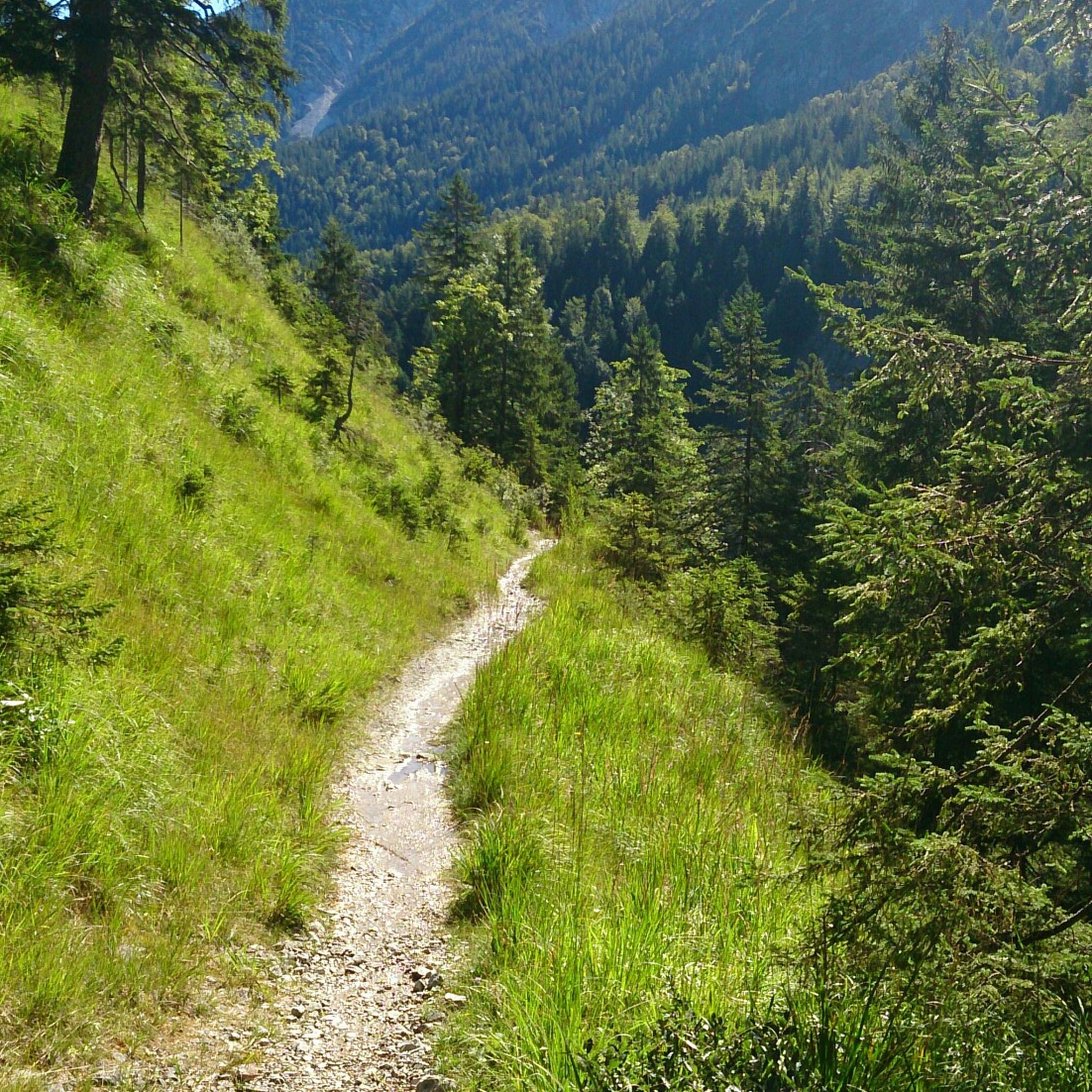
MTB Trails around Lenggries
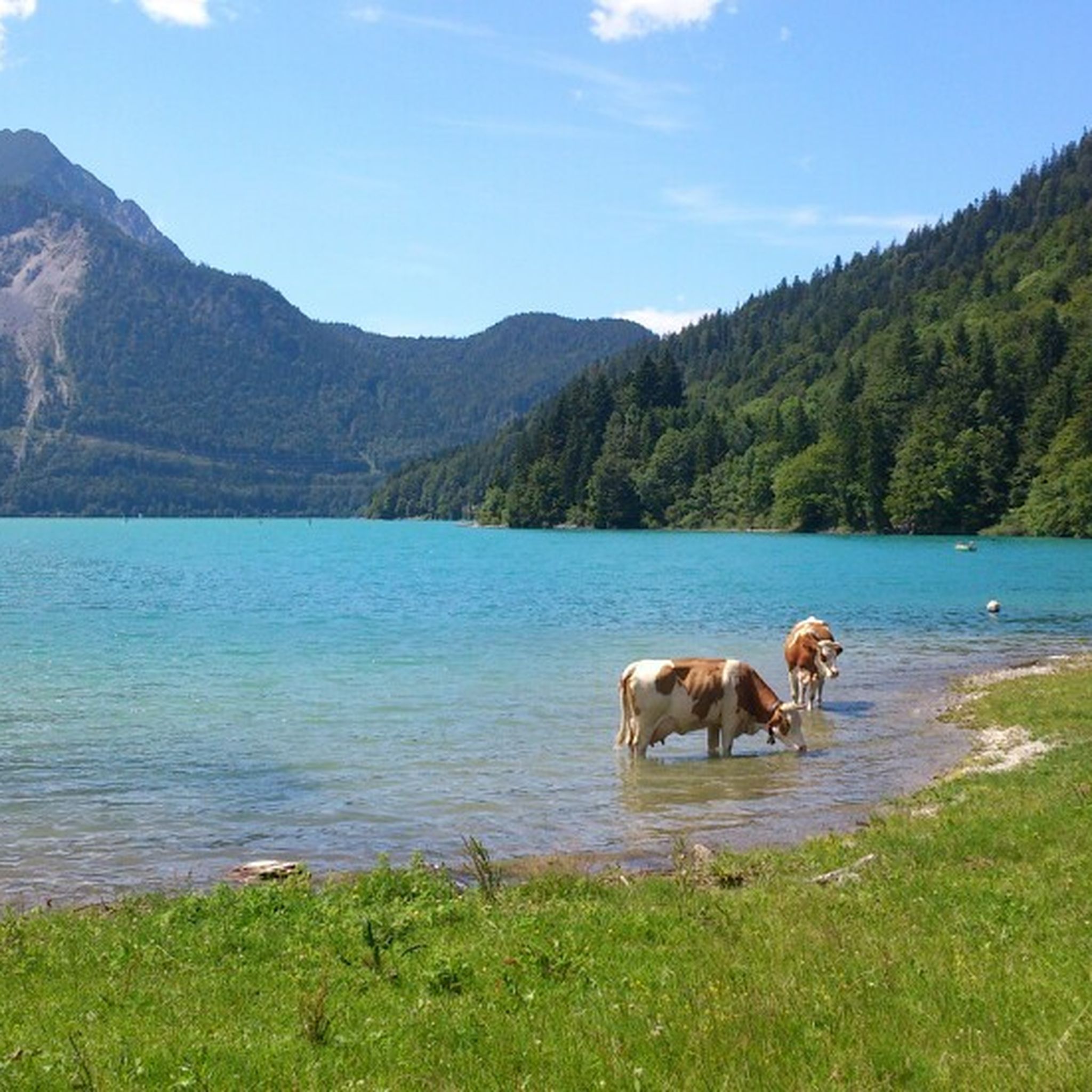
MTB Trails around Kochel am See
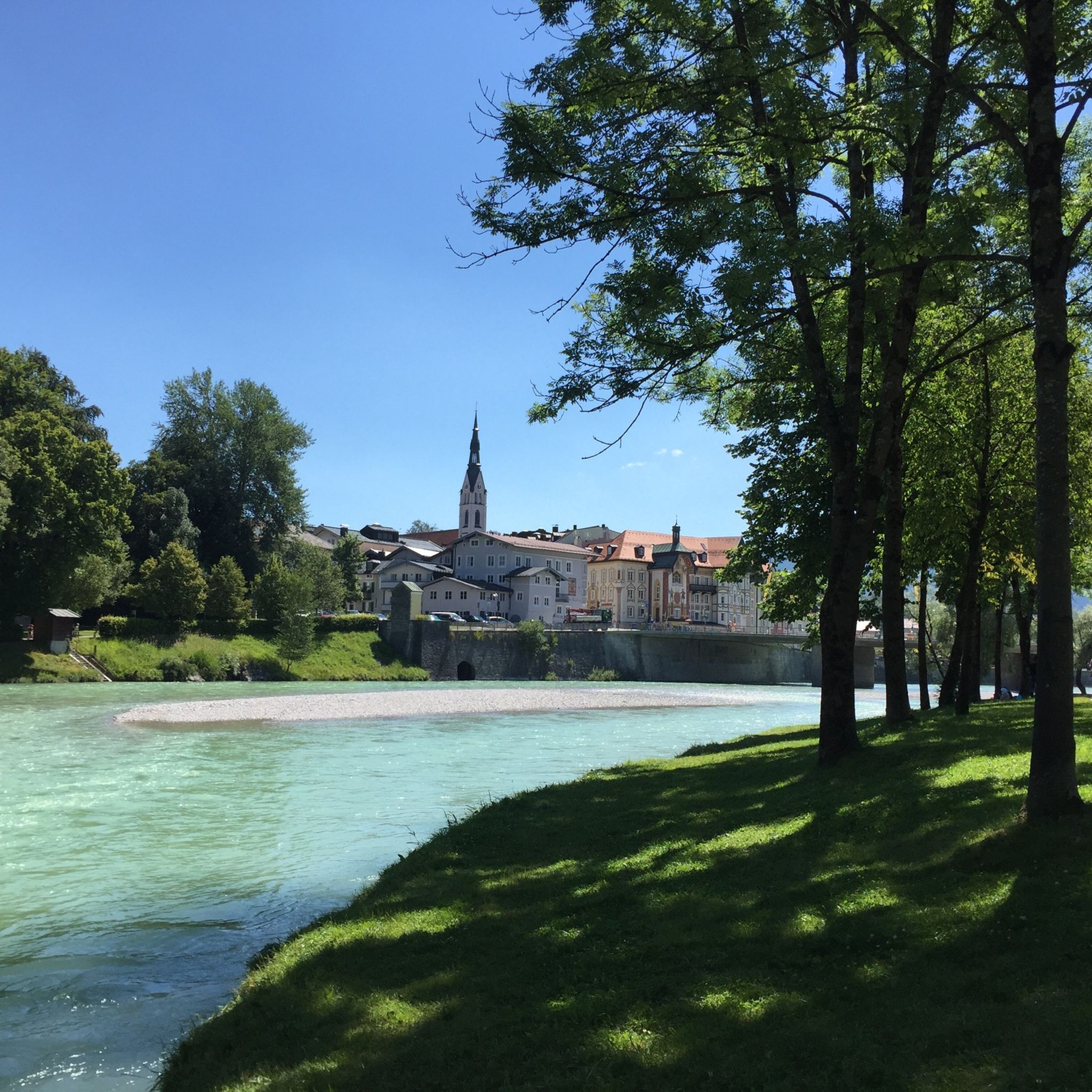
MTB Trails around Bad Tölz
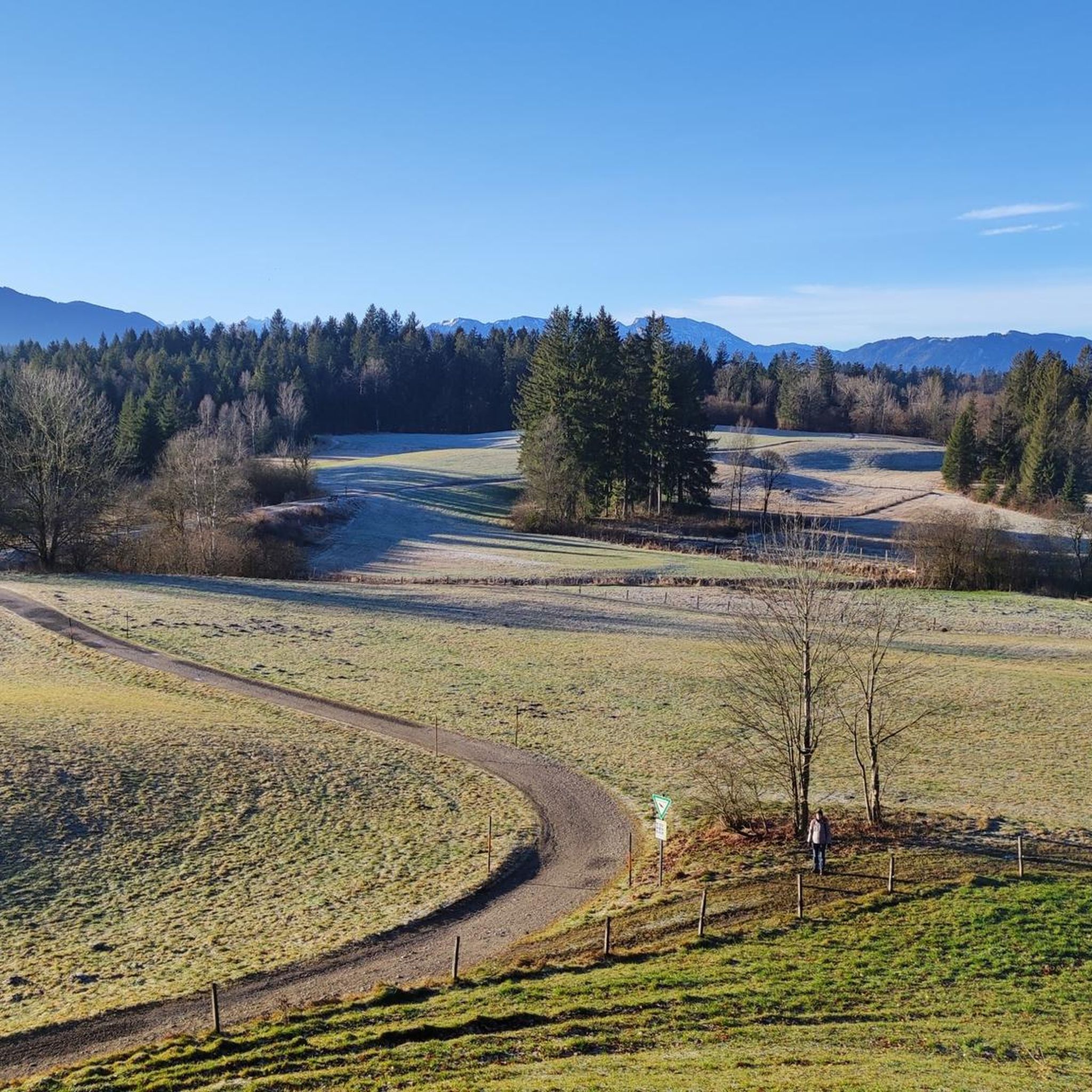
MTB Trails around Ellbach- und Kirchseemoor
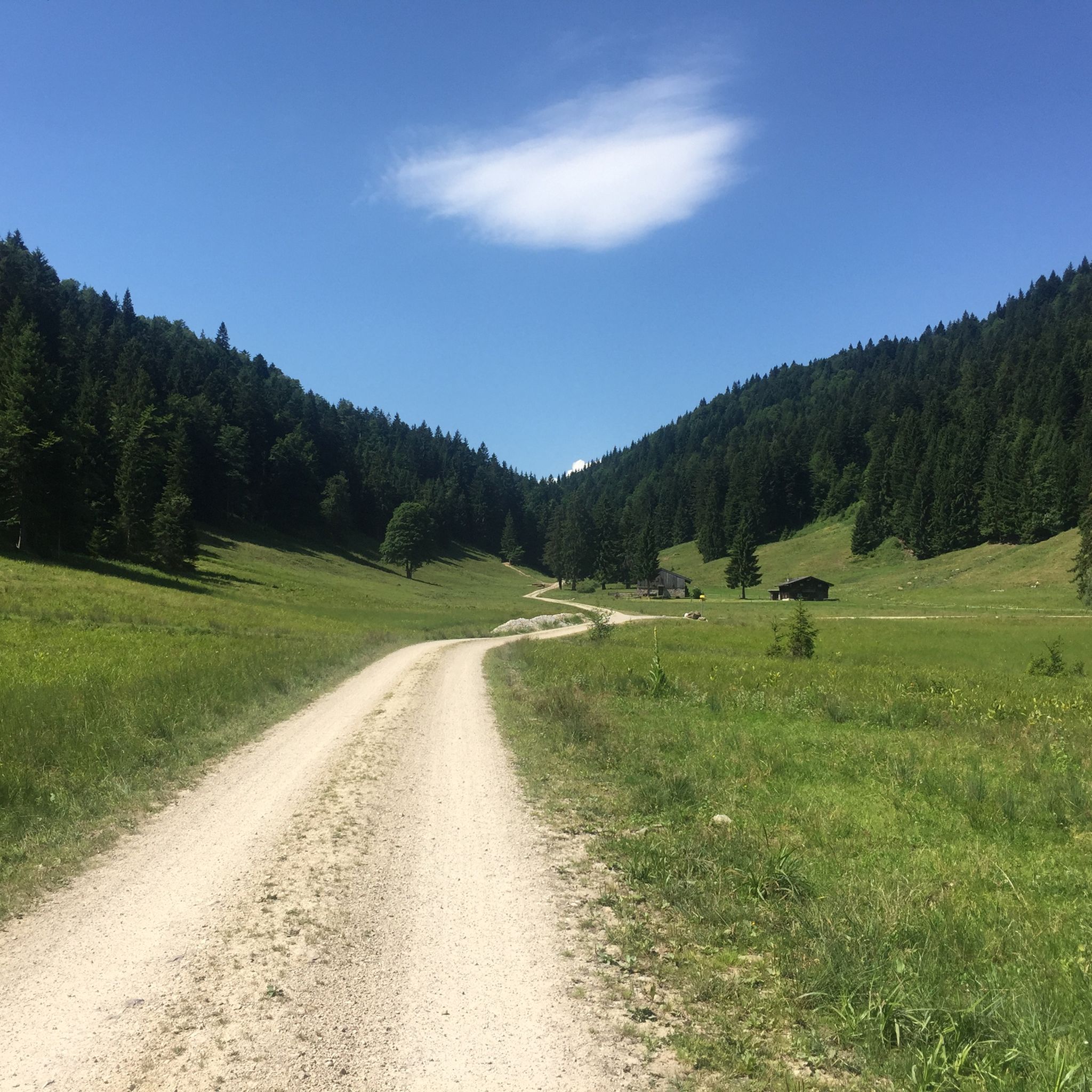
MTB Trails around Walchensee
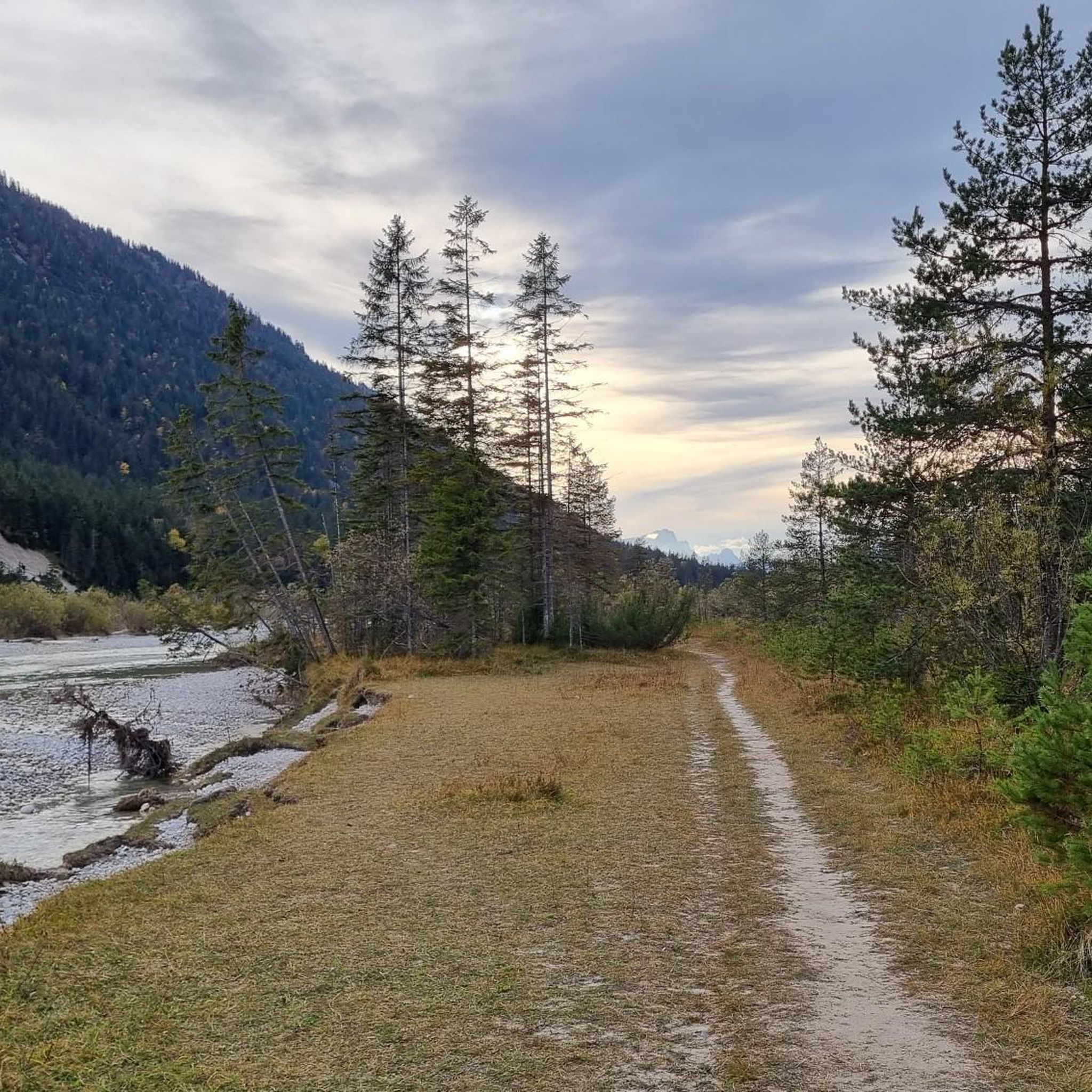
MTB Trails around Jachenau
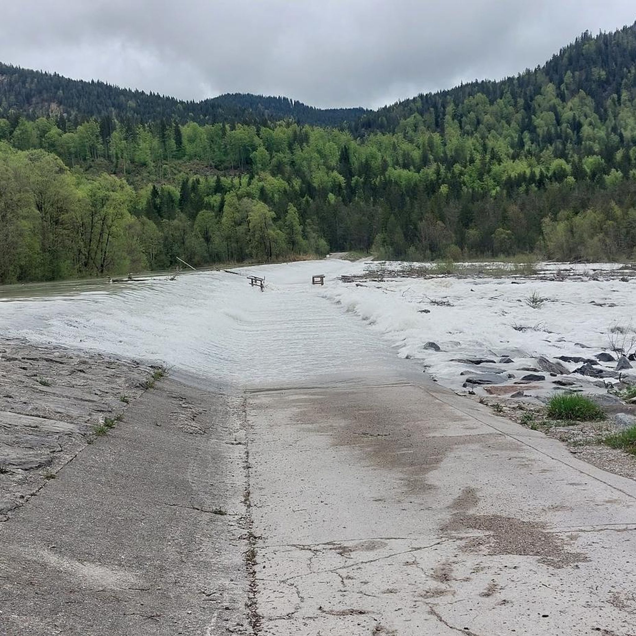
MTB Trails in Karwendel Und Karwendelvorgebirge
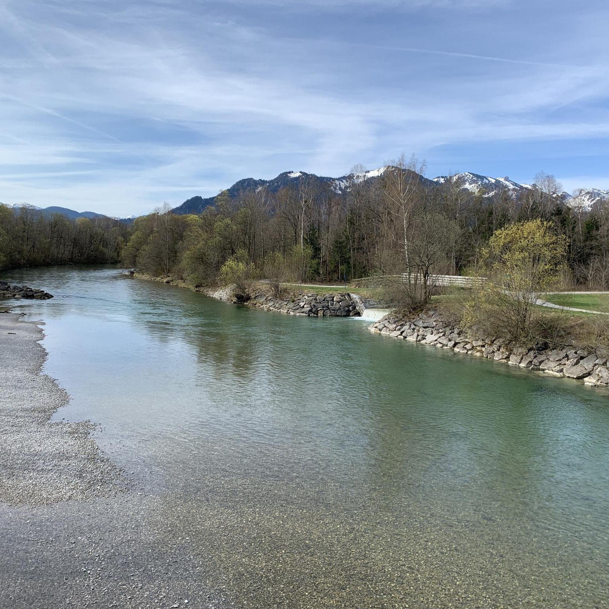
MTB Trails around Gaißach
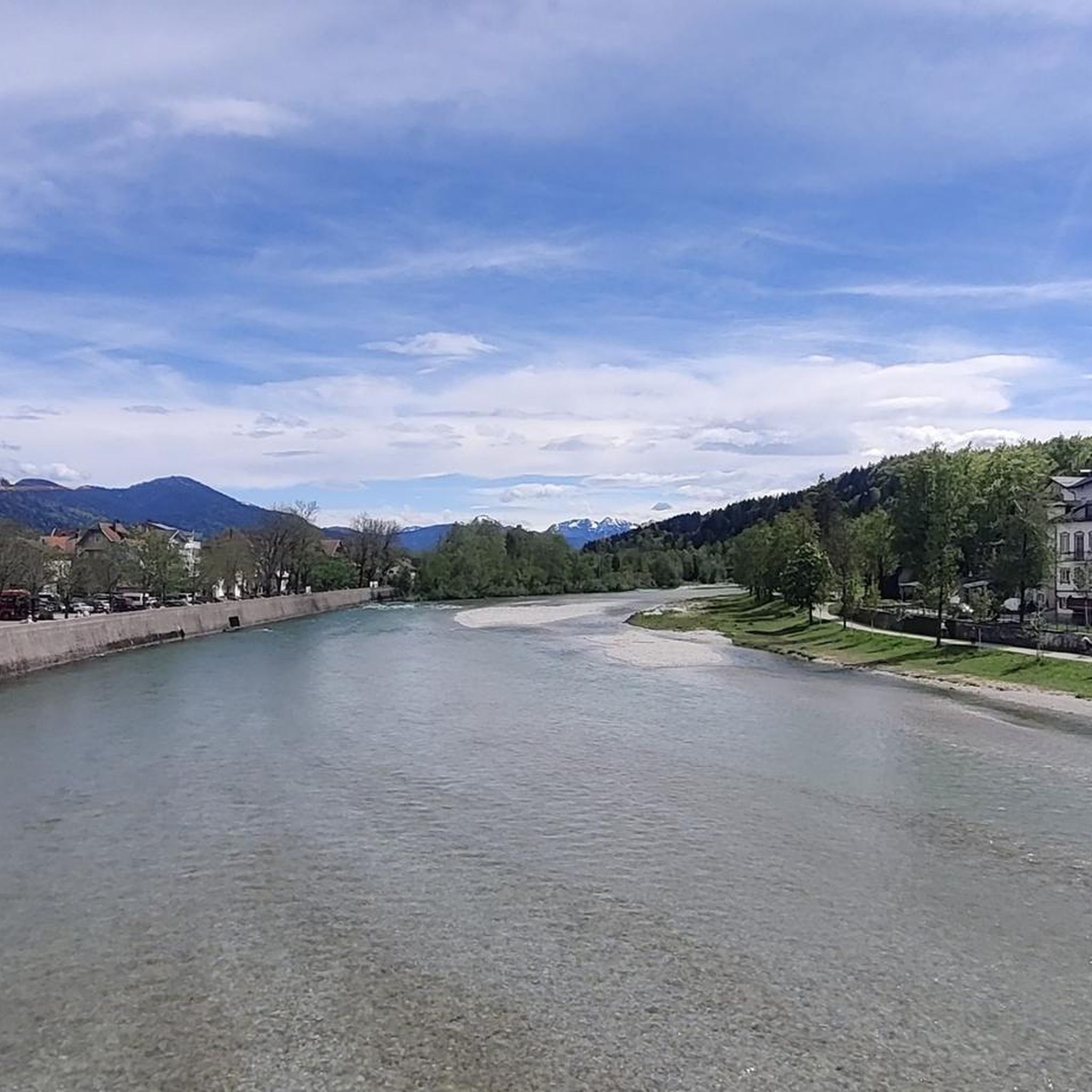
MTB Trails around Bad Heilbrunn
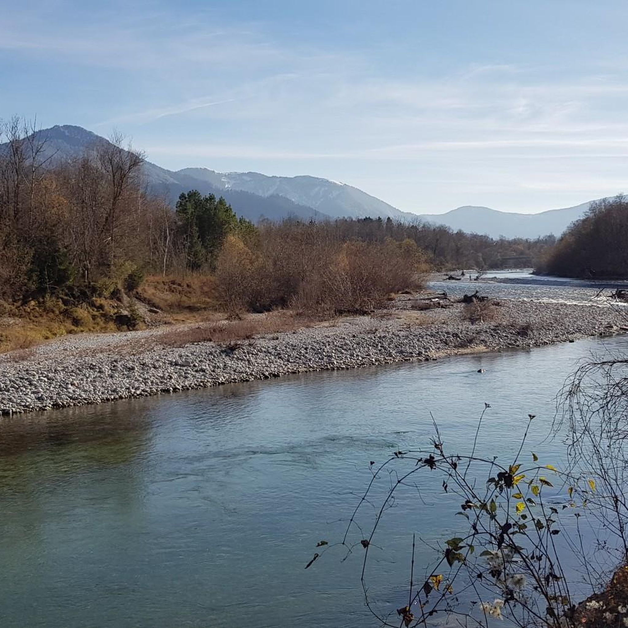
MTB Trails around Wackersberg
Other adventures in Landkreis Bad Tölz-Wolfratshausen


Tips from the Community

Turquoise, viewed from above an additional feast for the eyes.
0
0

The cycle path was named after the late Toni Seber, who had already campaigned for the cycle and footpath connection in the 90s. Signage at the Isar bridge, in Hohenwiesen at the underpass under the B 13, and at Sylvensteinsee at the dam, points to the cycle and footpath.
0
0

Beautiful path off the roads
0
0

And a beautiful view of the lake.
0
0


Bathing area on Lake Starnberg in Buchscharn.
0
1

Beautiful view over Lake Kochel
0
0

Frequently Asked Questions
How many mountain bike trails are available in Landkreis Bad Tölz-Wolfratshausen?
Landkreis Bad Tölz-Wolfratshausen offers a vast network of mountain bike trails, with over 1,100 routes available for exploration. These trails cater to various skill levels, from easy paths to more challenging routes.
Are there easy mountain bike trails suitable for beginners in the region?
Yes, the region provides numerous options for beginners. There are nearly 300 easy mountain bike trails, perfect for those new to the sport or looking for a more relaxed ride. These often follow the scenic Isar River valley or less strenuous paths through the foothills.
Where can I find more challenging mountain bike routes in Landkreis Bad Tölz-Wolfratshausen?
For experienced riders seeking a challenge, the region offers over 250 difficult mountain bike routes. A notable option is the "Gravel Deluxe" with a view of Lake Walchensee, an 88 km path with significant elevation gain that traverses the Tölzer Land region, offering extensive views of Lake Walchensee.
What natural features or landmarks can I see while mountain biking in Landkreis Bad Tölz-Wolfratshausen?
The region is rich in natural beauty. You can encounter stunning lakes like Lake Starnberg and Walchensee, ride along the picturesque Isar River, and explore extensive forests and the foothills of the Alps. Notable natural attractions include the Lainbach Waterfall, the dramatic Hirschbach Valley, and the unique Ellbach and Kirchsee Moor. For panoramic views, consider routes near peaks like Herzogstand summit or Jochberg Summit.
Are there family-friendly mountain bike trails in Landkreis Bad Tölz-Wolfratshausen?
Yes, many trails are suitable for families. Look for routes designated as 'easy' or those that follow flatter terrain, such as sections of the Isar Cycle Path. These paths often provide a gentle introduction to mountain biking amidst beautiful scenery, away from challenging ascents.
Can I bring my dog on mountain bike trails in this region?
Generally, dogs are welcome on trails in Landkreis Bad Tölz-Wolfratshausen, but it's essential to keep them on a leash, especially in forested areas, near wildlife, or when passing other trail users. Always ensure your dog is fit enough for the ride and carry enough water for both of you.
What is the best time of year for mountain biking in Landkreis Bad Tölz-Wolfratshausen?
The best seasons for mountain biking in Landkreis Bad Tölz-Wolfratshausen are spring and summer. During these months, the weather is mild, nature is in full bloom, and trail conditions are typically ideal. Autumn also offers beautiful scenery with changing leaves, though temperatures begin to drop.
Are there good circular mountain bike routes in Landkreis Bad Tölz-Wolfratshausen?
Yes, the region has many excellent circular routes. For example, the Forest trail by Lake Starnberg – View of Lake Starnberg loop from Happerg offers a moderate 52.4 km ride with lake views. Another popular option is the Sylvenstein Reservoir – View of Sylvenstein Reservoir loop from Fall, a moderate 40.8 km route around the reservoir.
What do other mountain bikers enjoy most about mountain biking in Landkreis Bad Tölz-Wolfratshausen?
The area is highly rated by the komoot community, with an average score of 4.5 stars from over 11,000 reviews. Riders frequently praise the diverse terrain, from the Isar River valley to the Alpine foothills, and the stunning views of lakes like Starnberg and Walchensee. The extensive network of trails catering to all skill levels is also a major highlight.
Are there mountain bike trails with views of Lake Walchensee?
Absolutely. Lake Walchensee is a prominent feature in the region, and several routes offer spectacular views. The View of Walchensee – View of Walchensee loop from Kochel is a moderate 29 km trail providing excellent vistas. Another option is the View of Walchensee – View of Walchensee loop from Walchensee, a 31.3 km moderate route.
Can I find mountain bike routes that pass by alpine huts or places to stop for refreshments?
Yes, many routes in the region are designed to include stops at traditional alpine huts (Almen) or villages where you can find refreshments. For instance, the Aueralm Alpine Hut – Neuhüttenalm loop from Bad Tölz is a challenging 49 km route that passes by the Aueralm, offering a chance to refuel and enjoy local hospitality amidst your ride.
Are there mountain bike trails near the towns of Bad Tölz or Wolfratshausen?
Both Bad Tölz and Wolfratshausen serve as excellent starting points for mountain biking excursions. Bad Tölz, with its picturesque old town and riverside promenade, offers access to trails along the Isar. Wolfratshausen is also highlighted as a 'paradise for mountain bike enthusiasts' due to its ideal conditions for varied tours, with many trails accessible directly from or near the towns.
Most popular routes in Landkreis Bad Tölz-Wolfratshausen
Most popular attractions in Landkreis Bad Tölz-Wolfratshausen

Get inspired with the komoot mobile app


Didn’t find what you were looking for?
Check out more MTB trails throughout Landkreis Bad Tölz-Wolfratshausen below and find the perfect route in your destination.
